Berkeley to Banff via Sardinha Orchards
Friday-Monday 7-10 June, 2024
Paulina Falls.
As usual, we left Friday after work much later than I had hoped. With predictions of near freezing temperatures overnight in Banff, we had packed many layers of warm clothing, resulting in even more than the usual overburden of baggage. I had to bring the full weight of the Klohck Packing Talent to bear in order to fit everything into Mather. By the time we grabbed a couple of Subway sandwiches before leaving Berkeley, traffic was relatively light for I-80, allowing us to reach I-5, which runs from Canada to Mexico, in only an hour and a half. As we drove through the northern part of the Central Valley, the temperature paradoxically continued to rise, even as it got darker and later. It was after 22:00 before we reached our destination, the Super 8 in Redding, 201 miles/323 km from home, at the very northern edge of the Central Valley. We left the comfort of Mather's air conditioner to find ourselves in miserable, hot and dusty air.
Saturday would be our big push to accomplish a great distance, nearly 500 mi/805 km. We rose at 7:00 and managed to hit the road a bit after 9:00. We passed gorgeous Mt. Shasta and the nearby Castle Crags on I-5, and then turned off of 5 in Weed onto US 97. We spent the rest of the day traveling from California through Oregon and crossing the Columbia River into Washington on US 97. We saw the stark beauty of the Modoc Plateau in northern California, and saw Mt. McLoughlin and then the Three Sisters in Oregon. Later, we saw Mt. Hood and Mt. Jefferson as we drove through an empty plateau with few towns or gas stations. We crossed US 20 and US 30, both of which cross the US from coast to coast.
For a break from the road, we stopped at Paulina Falls in Newberry National Volcanic Monument just south of Bend to break up the drive. We had visited this beautiful place before, but research indicated that this would be the most scenic spot along our route.
Us at Paulina Falls.
We crossed the Columbia River, and got burritos from a taco truck on Topenish, WA. My burrito was rather dry, as they had wanted $2 extra for cheese, and that seemed extortionist. We spent the night in a friendly but otherwise unremarkable Days Inn in Yakima, WA.
We had a leisurely morning, as we were headed for our friends Katie and Devon's farm, as we didn't want to arrive before they stopped working at 16:00. We left Yakima around 10:30, after doing a Target pickup and searching for a mailbox to mail a Father's Day card to Eric's father. Unbelievably, there was no mailbox in front of the closest Post Office! It was Sunday, and so the office was closed, and we had to look around until we found an actual mailbox.
The Columbia River runs mostly north-south through this part of Washington, and we drove through a relatively unknown (and less scenic) part of its gorge. We stopped for a picnic lunch at Daroga State Park, and found a geocache there.
Eric attemts to load geocaching lists and AllTrails tracks into his GPS.
The wait at the border was fairly minimal, and the scenery was beautiful, but we were still relieved to arrive at the apple farm, Sardinha Orchards, at last.
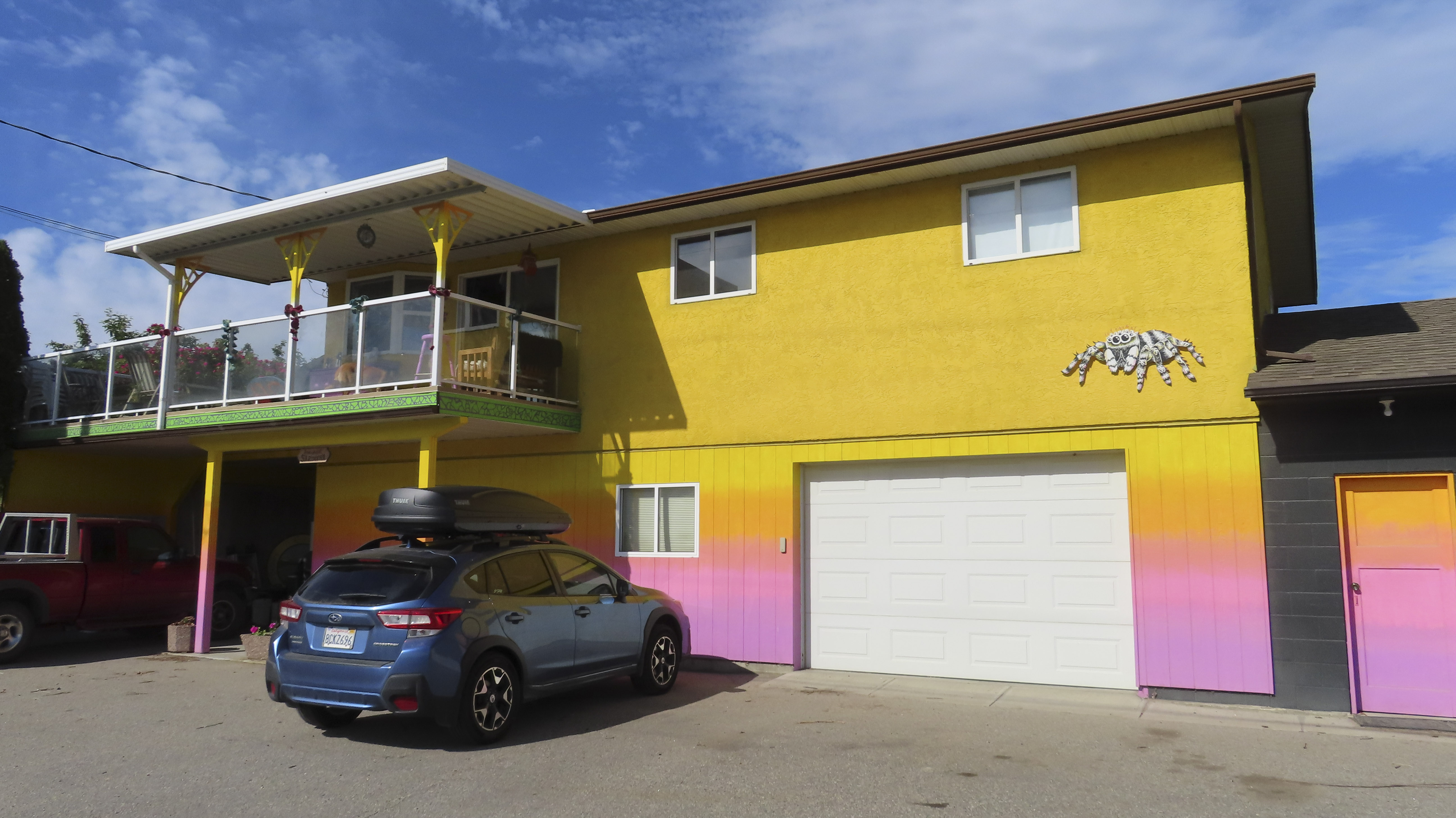
The farmhouse somehow manages to be even more colorful than the Zuckershack. Photo by Eric.
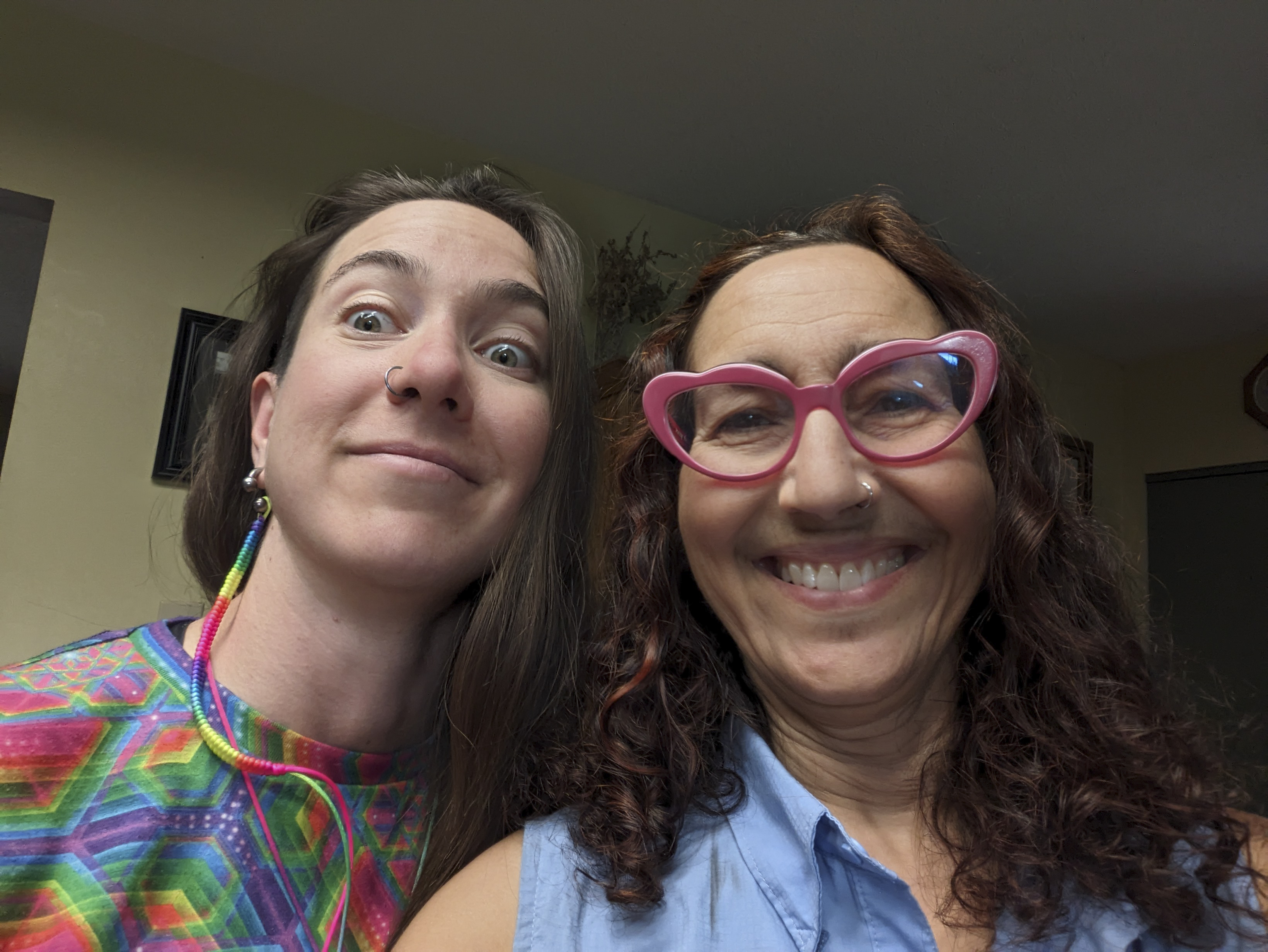
Katie came right out to greet us. It was so great to see her again!
Katie showed us all around the house where her grandmother used to live, which she and Devon are fixing up when they can find some time away from the fruit trees.
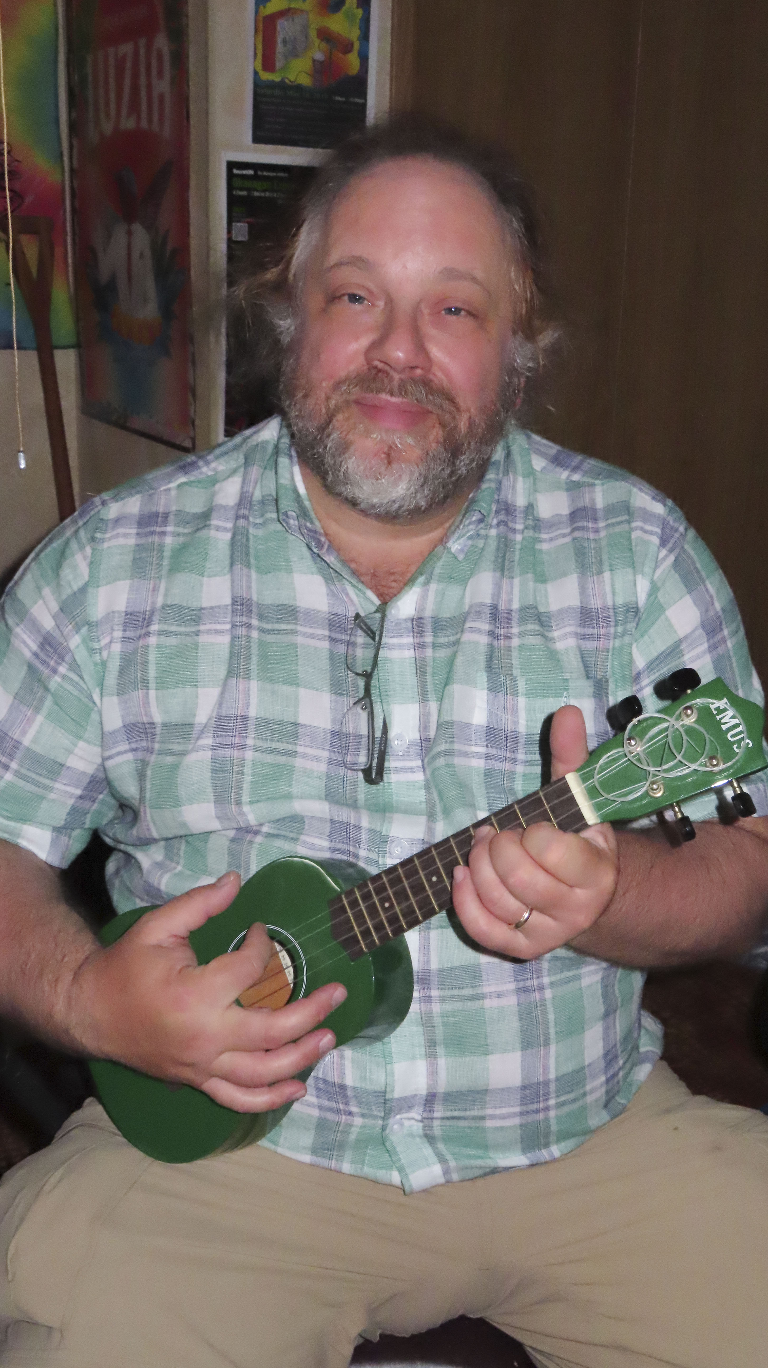
Eric played Katie's green ukulele.
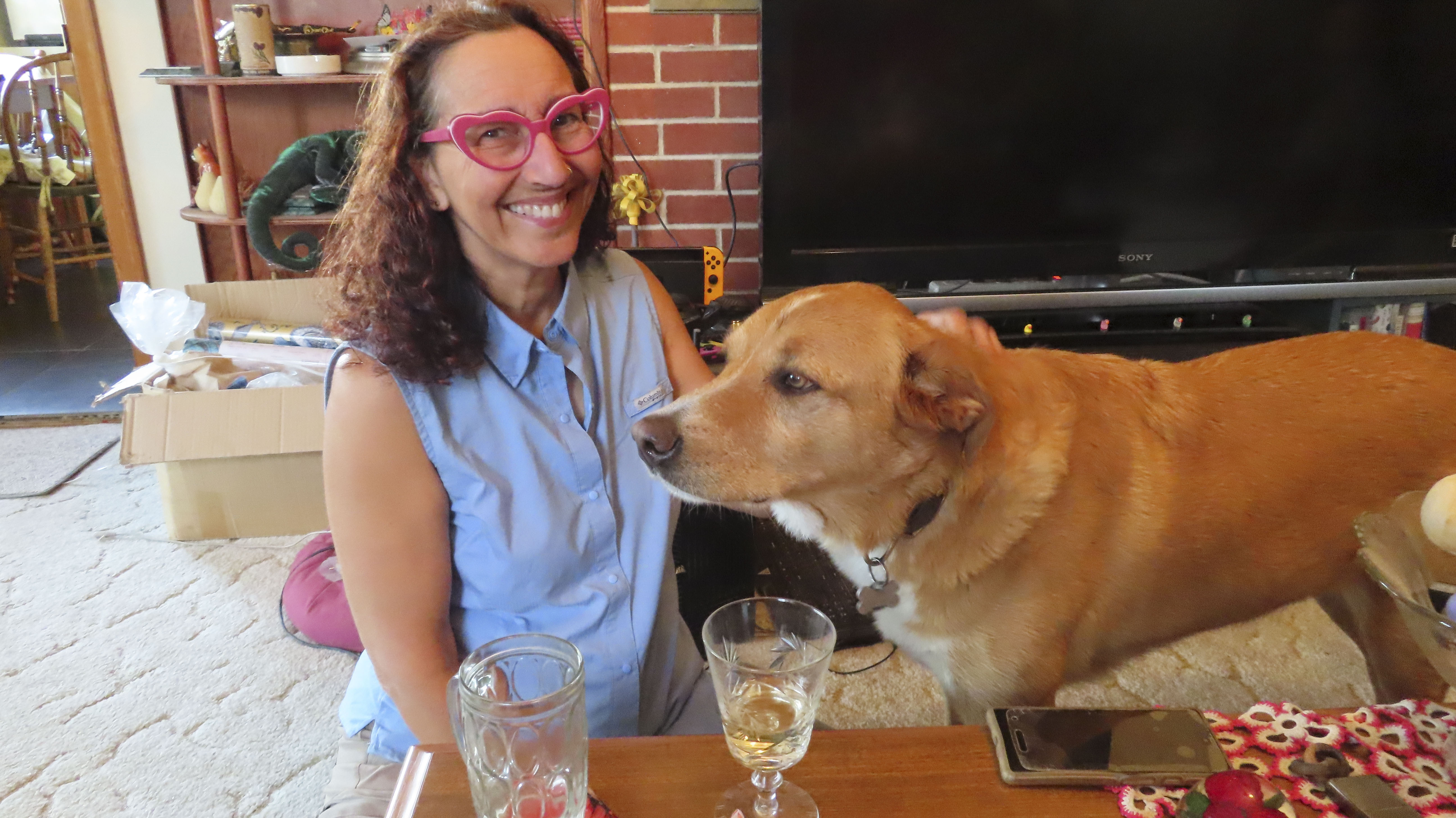
Eric took my picture with Loki, who was very friendly and incredibly well behaved. He had actually greeted us before Katie, with kisses.
Eric also photographed Shinobi the cat.
Eric made friends with Steve the Boa Constrictor.
I didn't want to scare Steve with a flash, so there is some motion blur here, but Steve climbed on top of Eric's head.
Katie and Devon served us a delicious dinner of vegetables and sausage, and a lovely breakfast of eggs, toast, and homegrown fruit. We chatted in the morning with Katie's mother, Julie, and then headed back onto Highway 97.
We made various shopping stops along the highway. Katie had recommended Shuswap Pie Shop in Salmon Arm for lunch.
The first disappointment of the trip--the pie shop was closed on Mondays!
But we enjoyed seeing the cute little town of Salmon Arm.
Two people on the street told me they liked my glasses in the space of a few minutes. It was that kind of place.
We got some very drippy peanut wraps and headed for the hills. We had driven the entire length of US 97 and much of the Canadian part. It splits in four as it heads into the mountains, and we branched off onto 97C.
Our first glimpse of the central Canadian Rockies!
We drove along the famous Trans-Canadian Highway, through gorgeous mountain scenery. We drove through Mt. Revelstoke National Park, and decided there was nothing close enough to the highway that we had time to see it.
A series of tunnels protected the road from avalanches and rockfalls.
We did make a brief stop to visit Glacier National Park, at the top of 1,330-m/ 4,364-ft Rogers Pass.
This area is a monument to the grand Trans-Canadian Highway, opened in 1962.
A memorial at the site commemorates the deaths of 58 railroad workers, about half of them Japanese, in a 1910 avalanche. They had been sent to clear snow off the railroad tracks after an avalanche from one side of the pass closed the railway. They were killed by a second avalanche coming down from the other side of the pass.
Day 1 distance: 201 mi/323 km
Day 2 distance: 525 mi/845 km, cumulative 726 mi/1,168 km
Day 3 distance: 495 mi/797 km, cumulative 1,020 mi/1,642 km
Day 4 distance: 307 mi/494 km, cumulative 1,327 mi/2,136 km
On to Banff National Park.