Wheeler Peak Trail
Monday 13 September, 2021
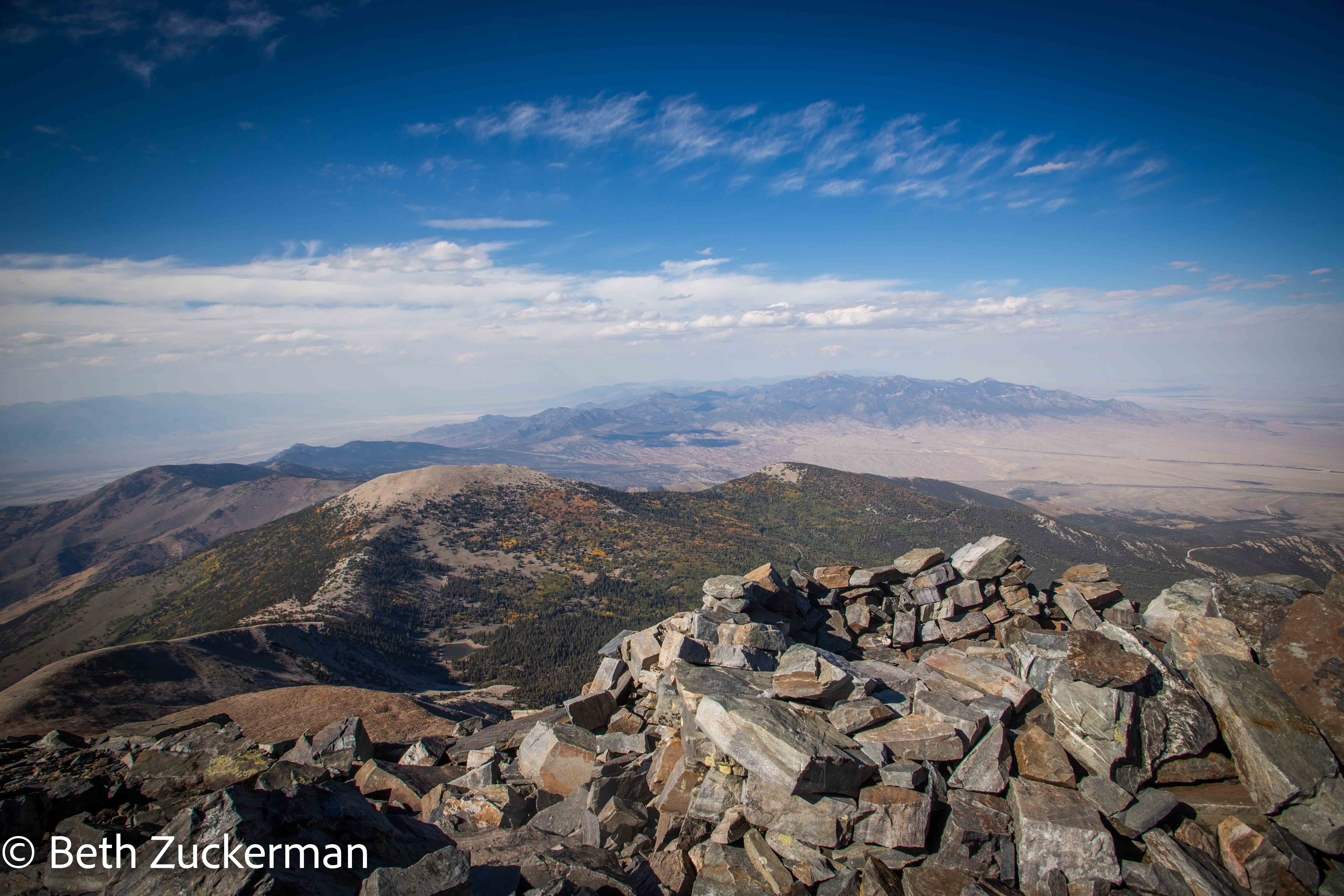
Spoiler alert: view from summit!
Wheeler Peak Trail climbs 941 m/3,087 ft in 14 km/8.6 mi, and is rated difficult. But, as if that isn't bad enough, those 941 m/3,087 ft start at an elevation of 3,087 m/10,128 ft! This would be the highest peak we had ever climbed. We trained especially all summer for hikes of this length, elevation gain, and difficulty level, but of course we were limited to training more or less at sea level. We had been at an altitude of at least 1,525 m/5,000 ft since Friday night, and had spent time over the last two days at almost 3,050 m/10,00ft. We hoped we were sufficiently acclimated.
We went to bed at 19:15, with a plan to get up at 3:15 and hope to be able to start hiking by 6:30, before the sun came up around 7:00. We knew the first 1.6 km/1 mi of the trail was flat and easy, as we had seen it the day before. It could easily be done in the limited light just before dawn.
Unfortunately, I spent much of the night awake with anxiety over the idea of returning to commuting and being in an office with my new employers. Here we were, barely managing a trip, missing out on hoped-for attractions such as the railroad museum in Ely and the Lehman Caves here at Great Basin, being as careful as we were to avoid encountering people indoors, and here were my employers demanding that I come in and work all day in an office, sitting in a hallway in a mask, in an area where commuting without riding public transit is impractical. First I emptied the contents of my lower digestive system in an unpleasant rush. I tried hard for hours to hold on to the contents of my upper digestive system, but, as I eventually failed, it would have been better to have given up sooner and been able to go back to sleep. So, when the alarm went off at 3:15, we decided I just wasn't in very good shape, that I had lost a lot of electrolytes, and that we should just do an easier hike to the Bristlecone Pines instead. We reset the alarm for 6:00 and went back to sleep.
However, when we got into the park, I was feeling better, and we saw the sign for the trailhead and just couldn't resist it. We had trained all summer! It was 9:15, sundown was a little after 19:00, surely we could do a 14 km/8.6 mi hike in 10 hours, right? We didn't want to be defeated by my employers and their COVID-unsafe expectations.
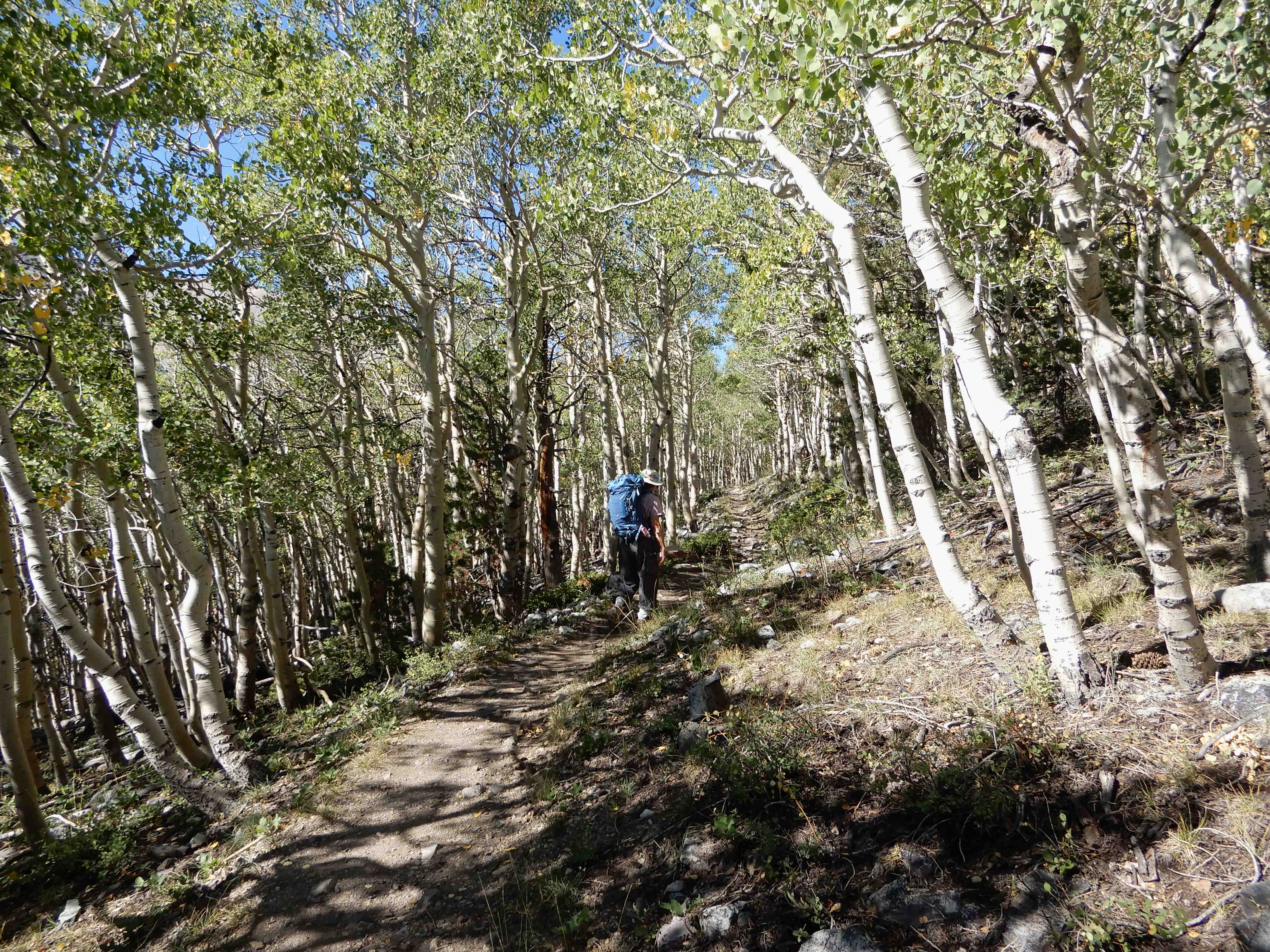
Eric took a picture of me hiking the flat, easy part of the trail that we thought we would be doing before dawn. Note that, if a trail with 941 m/3,087 ft of elevation gain in 7 km/4.3 mi is virtually flat for the first 1.6 km/1 mi, that means there is 941 m/3,087 ft of elevation gain in only 5.3 km/3.3 mi.
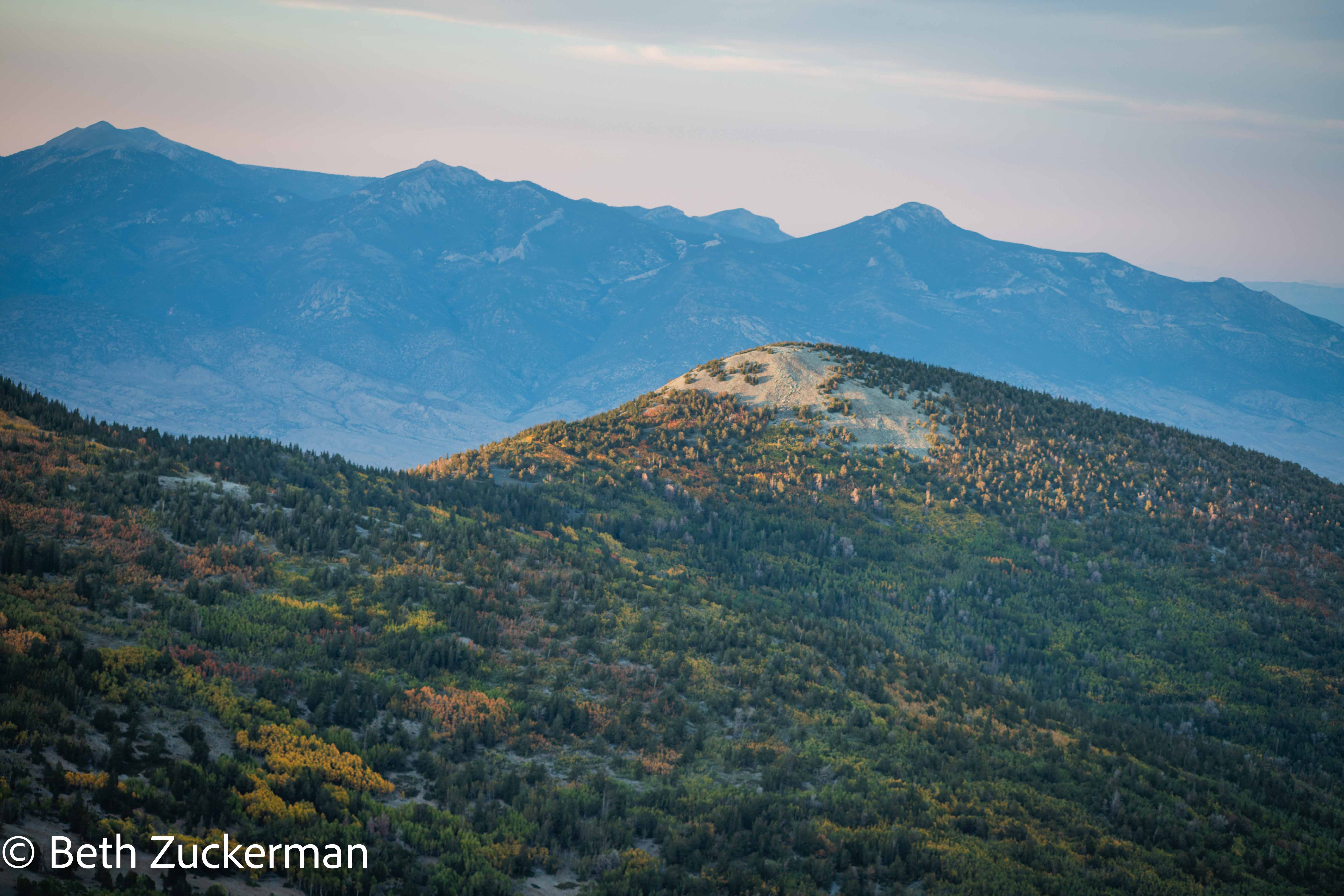
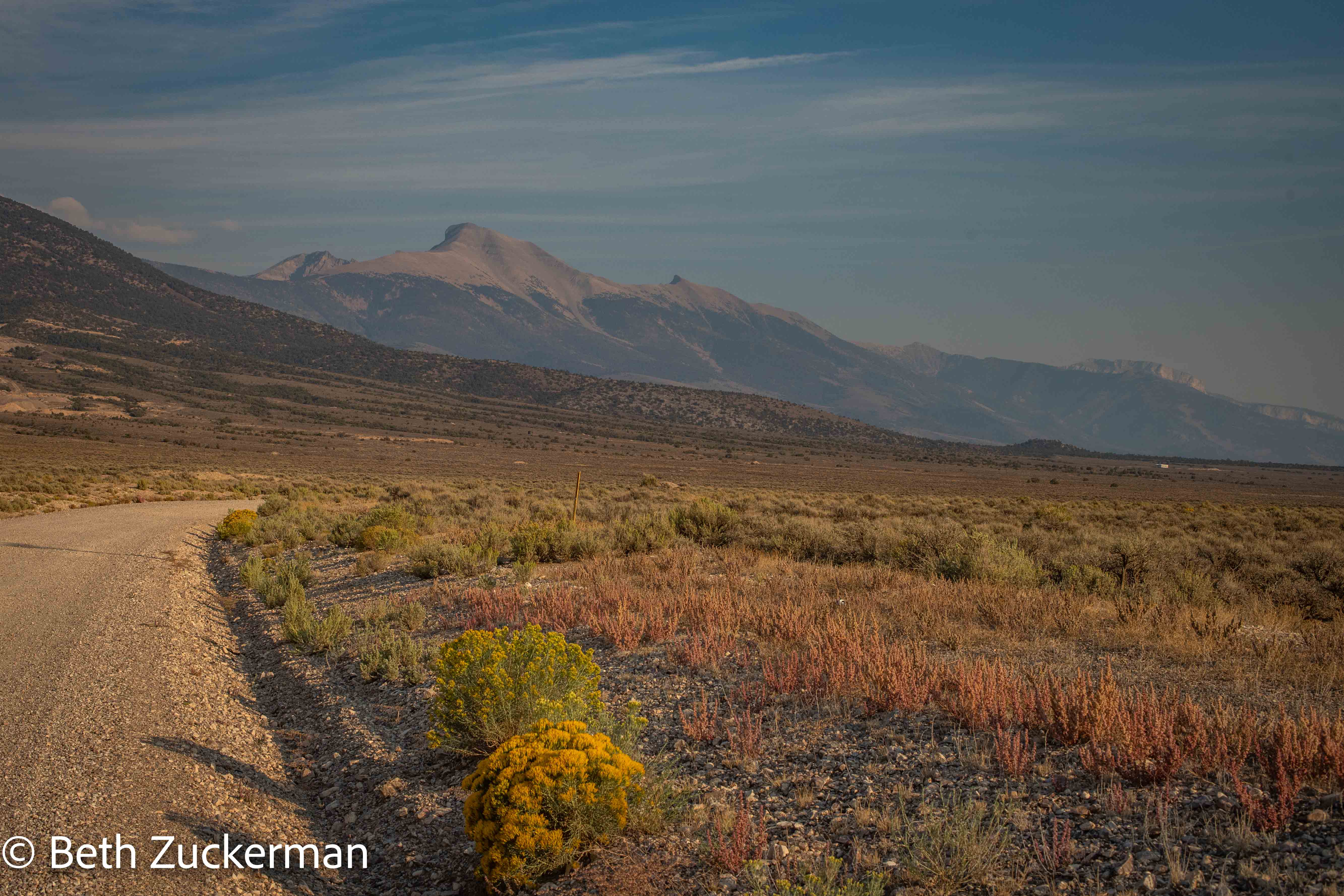
Eric photographed the peak we were aiming for.
The trail ran briefly along the Alpine Lakes Trail we had hiked the day before, and then began a gentle climb up through the aspens. Eric took a picture of me hiking with my gear. I had at least left my tripod back in the room.
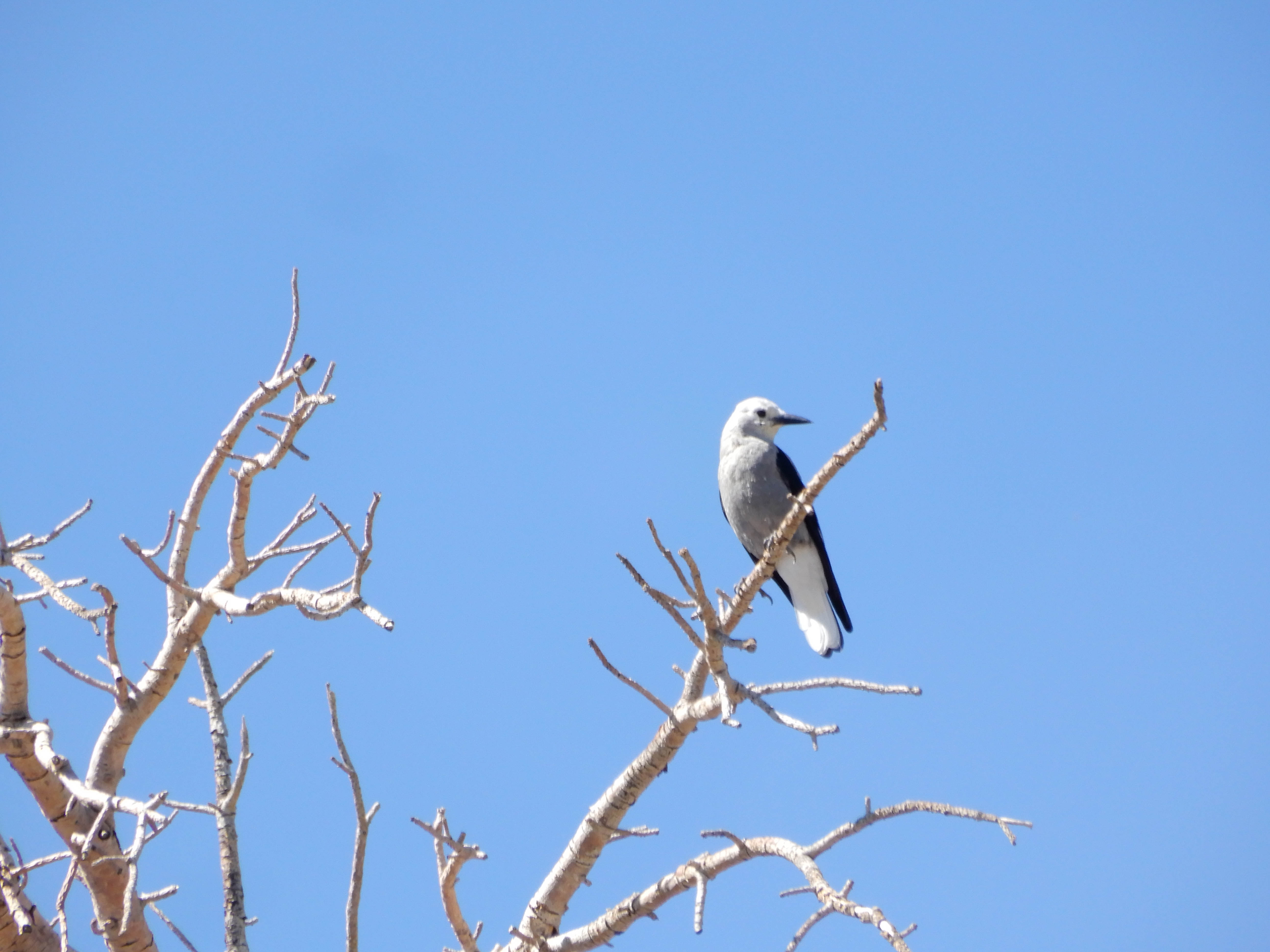
Eric spotted a Clark's Nutcracker in the trees.
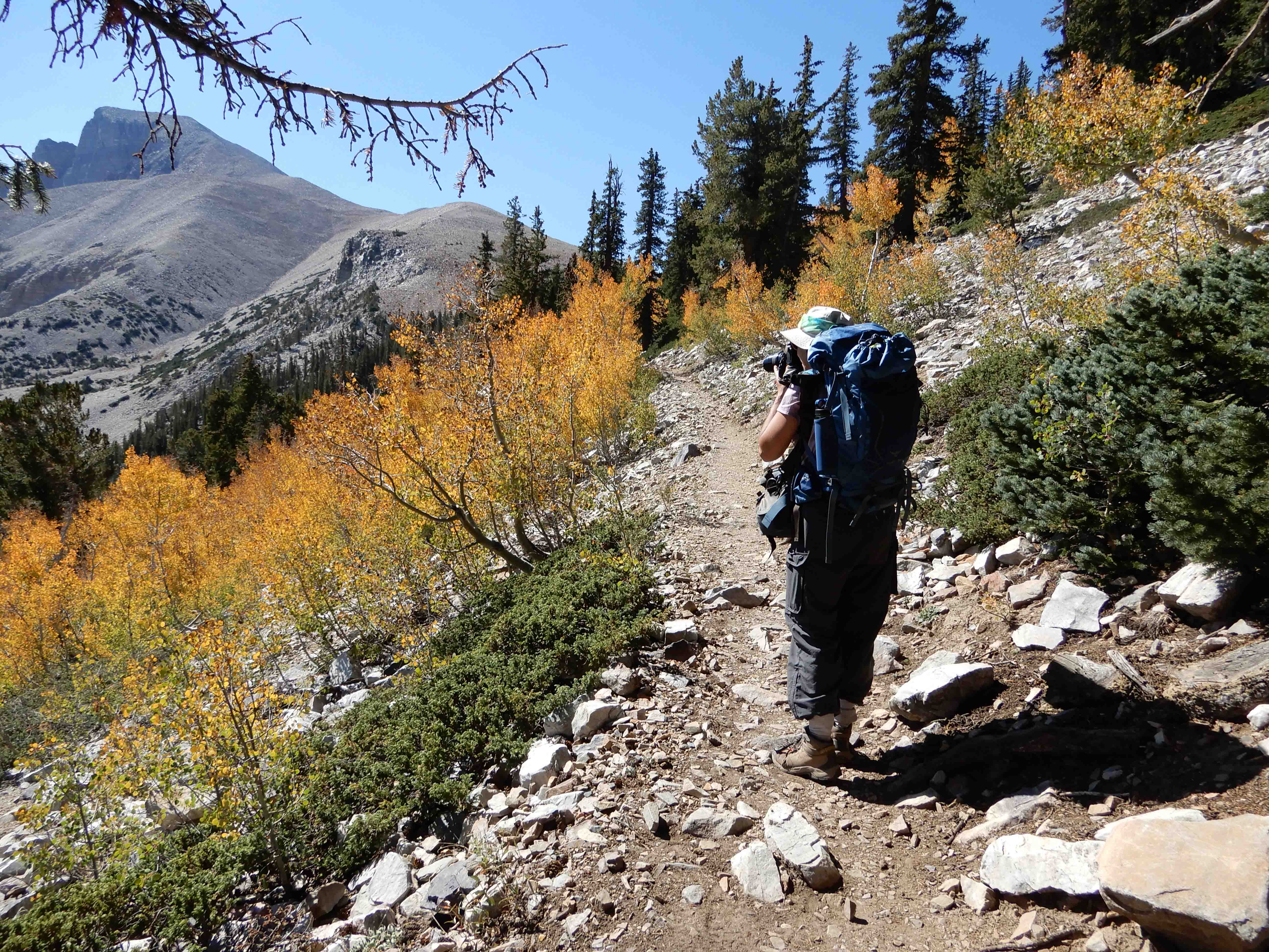
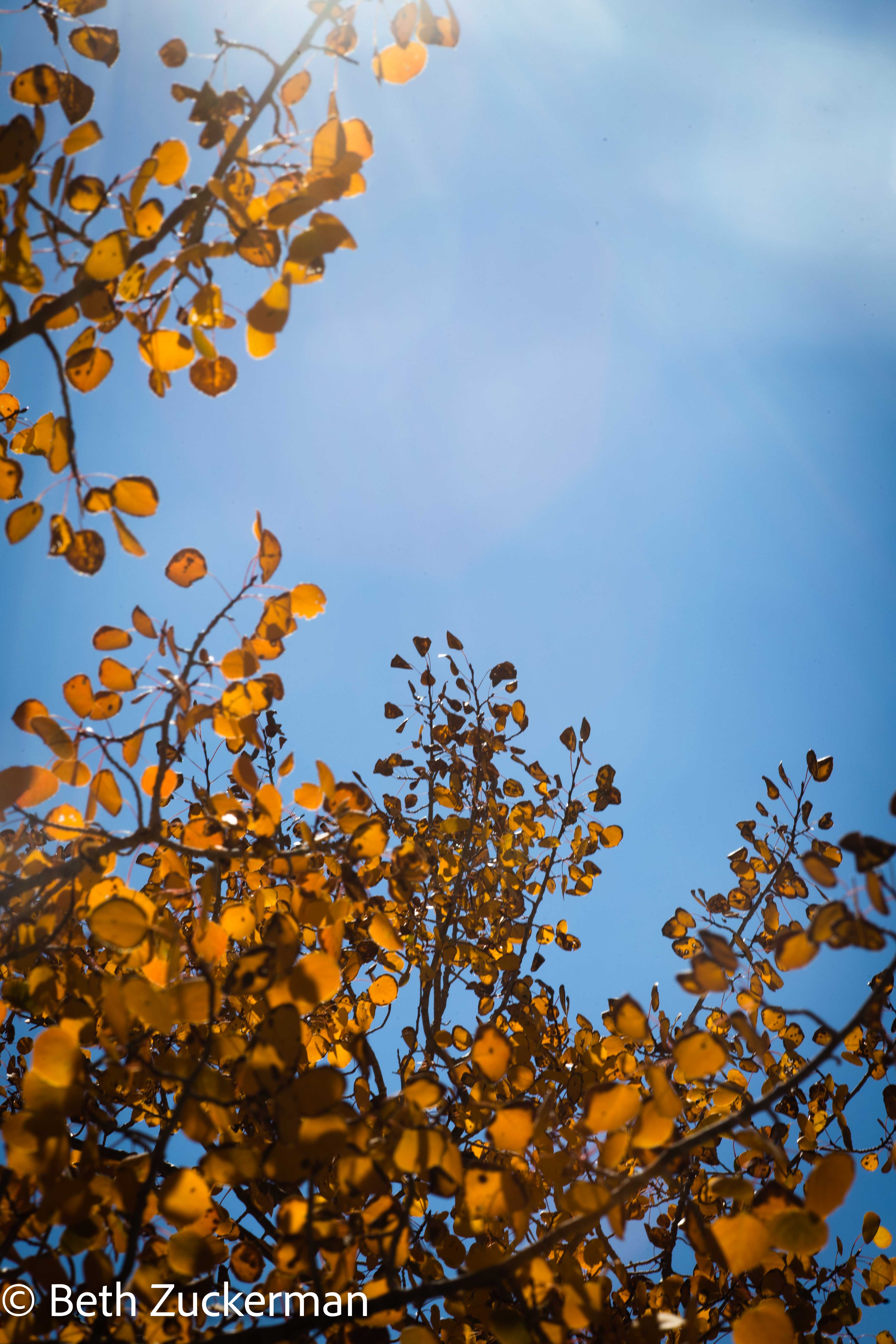
The colors of the aspens were just amazing.
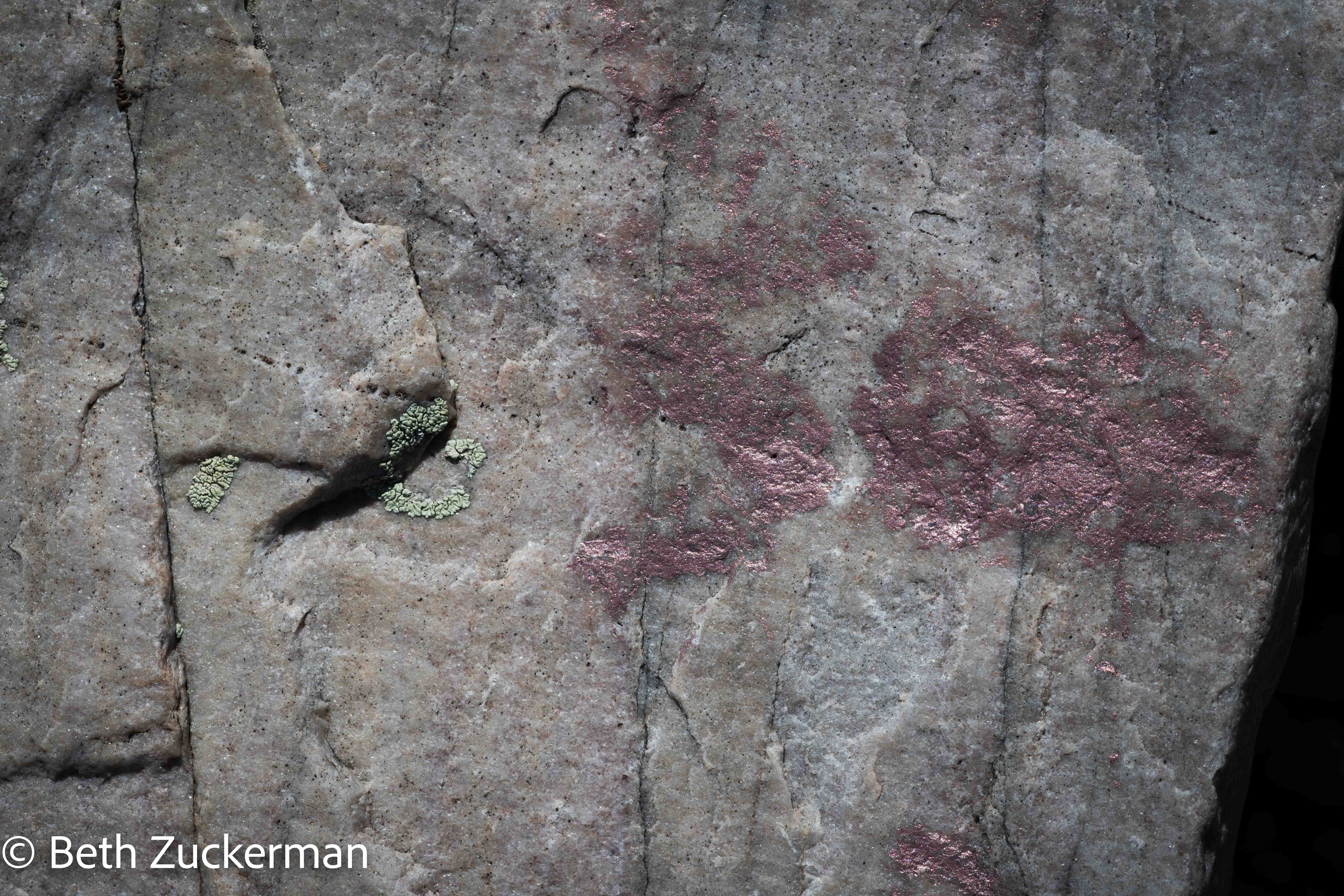
We also saw these beautiful pink rocks.
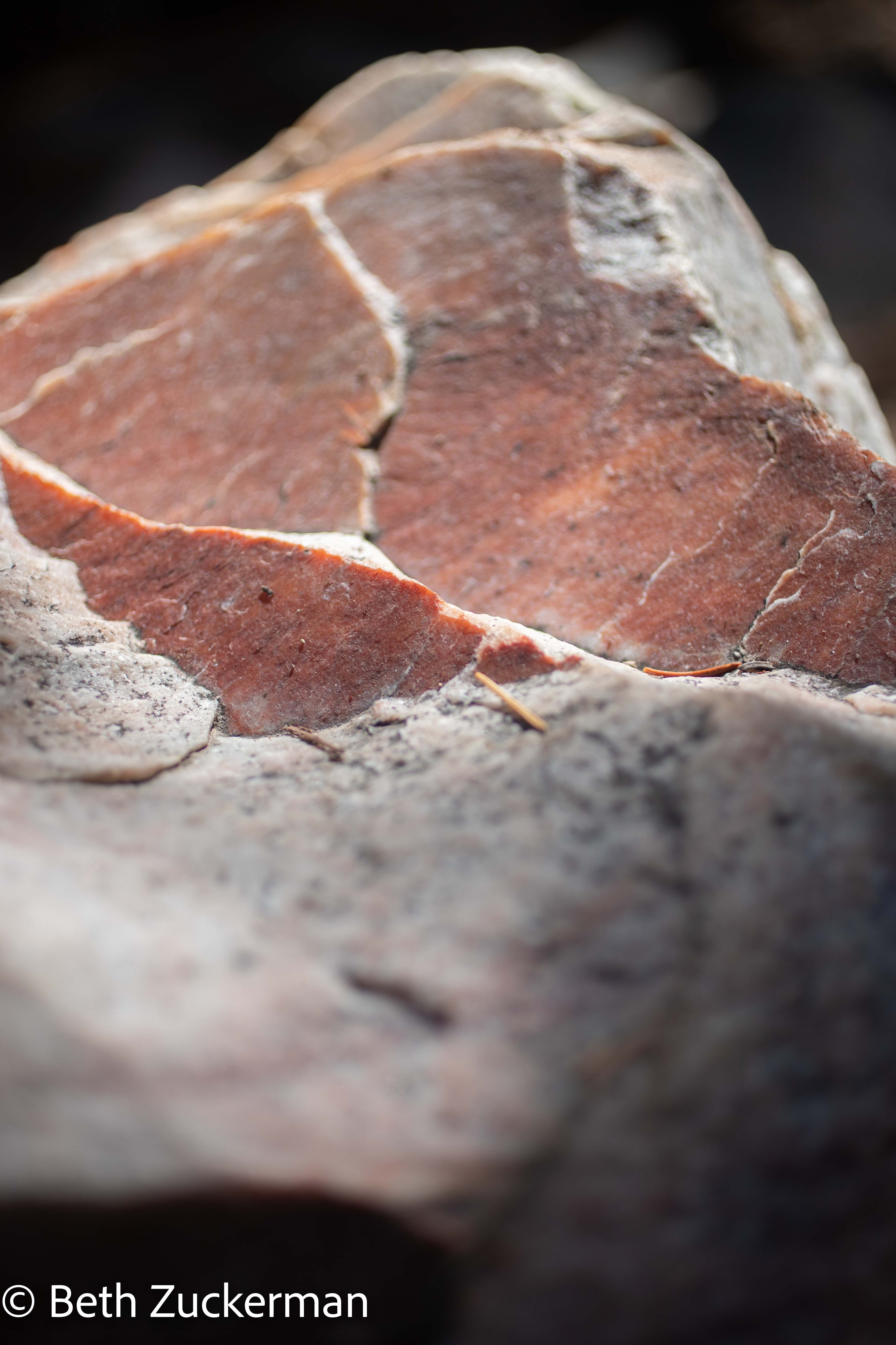
The crystals were beautiful.
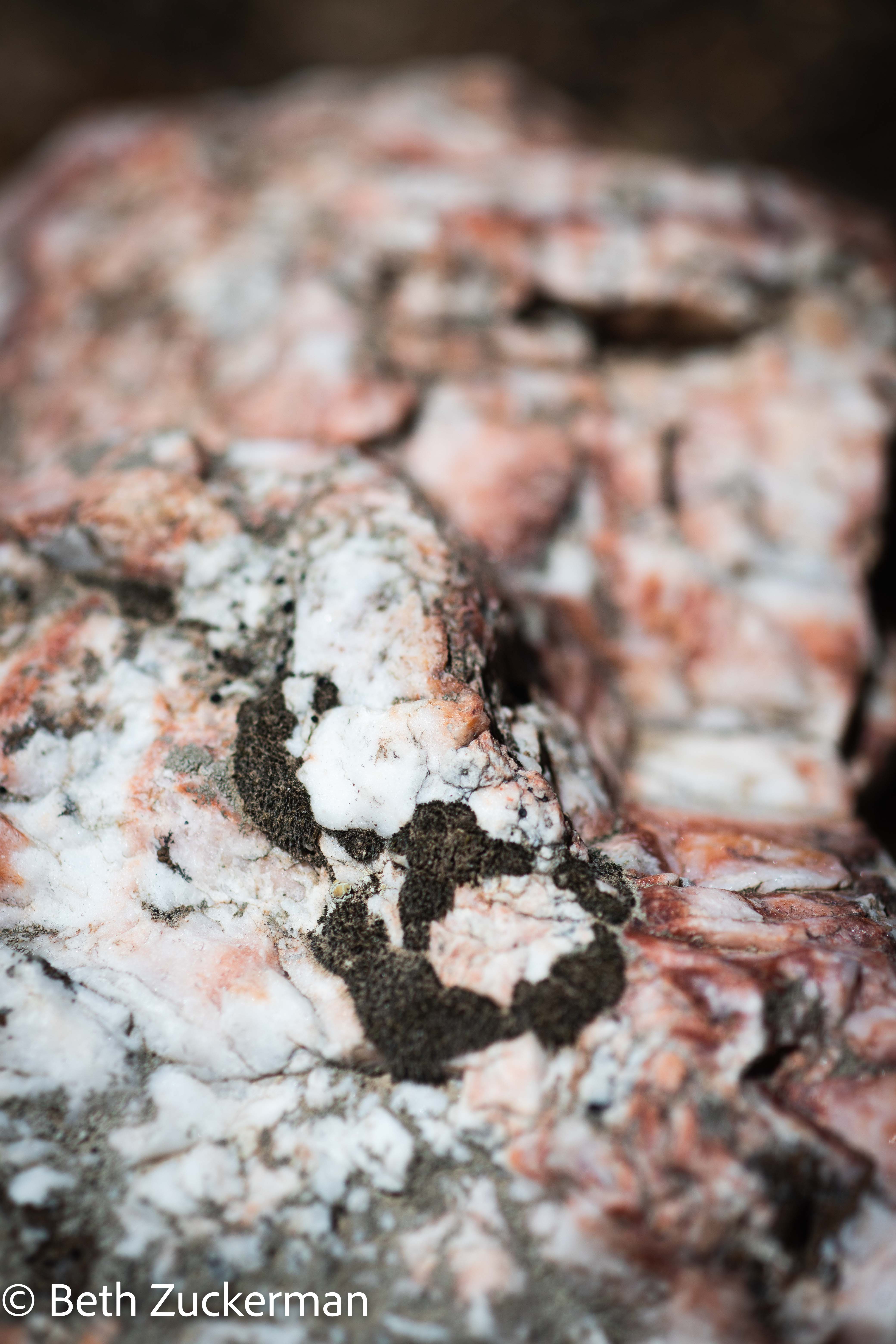
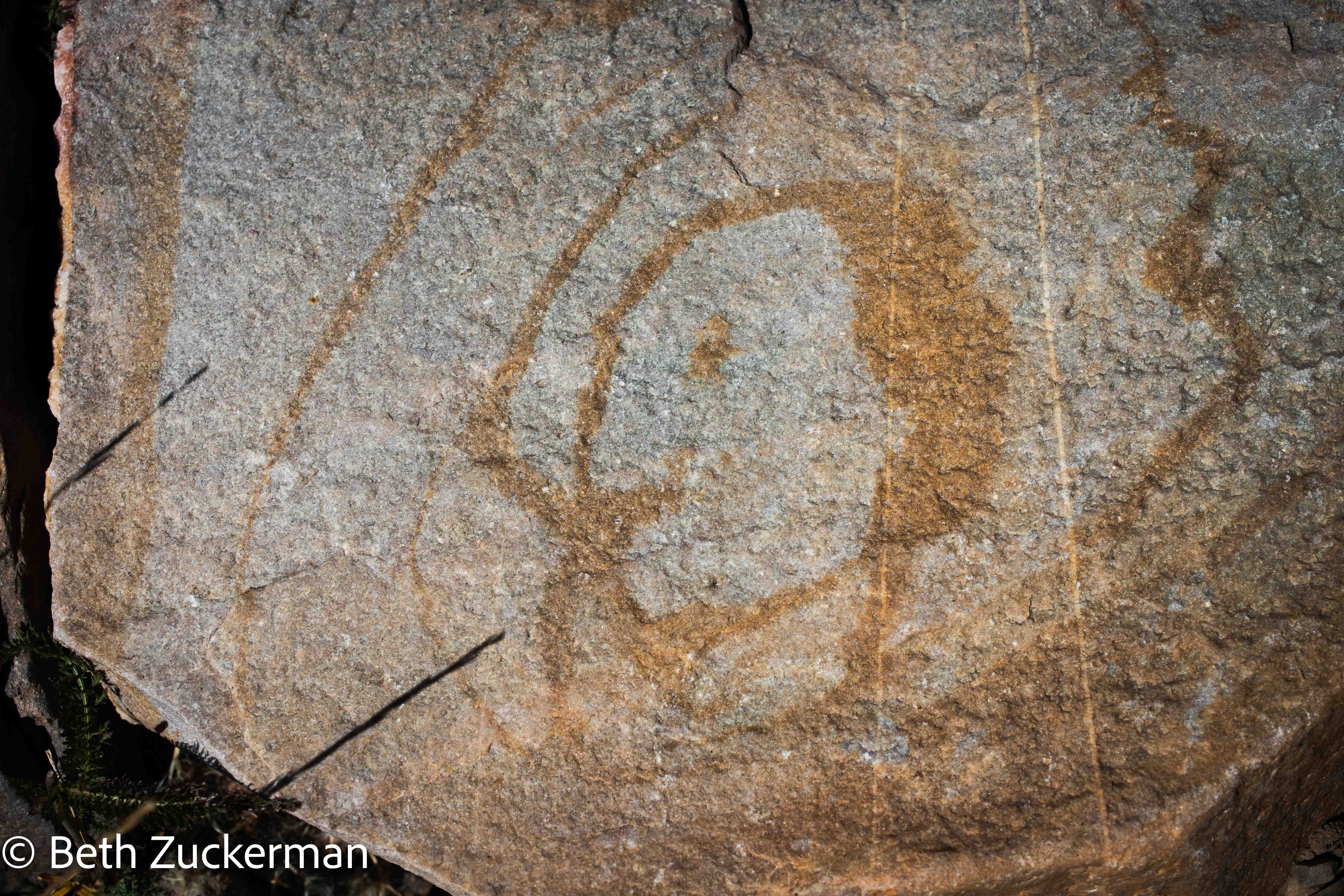
One rock had a face pattern.
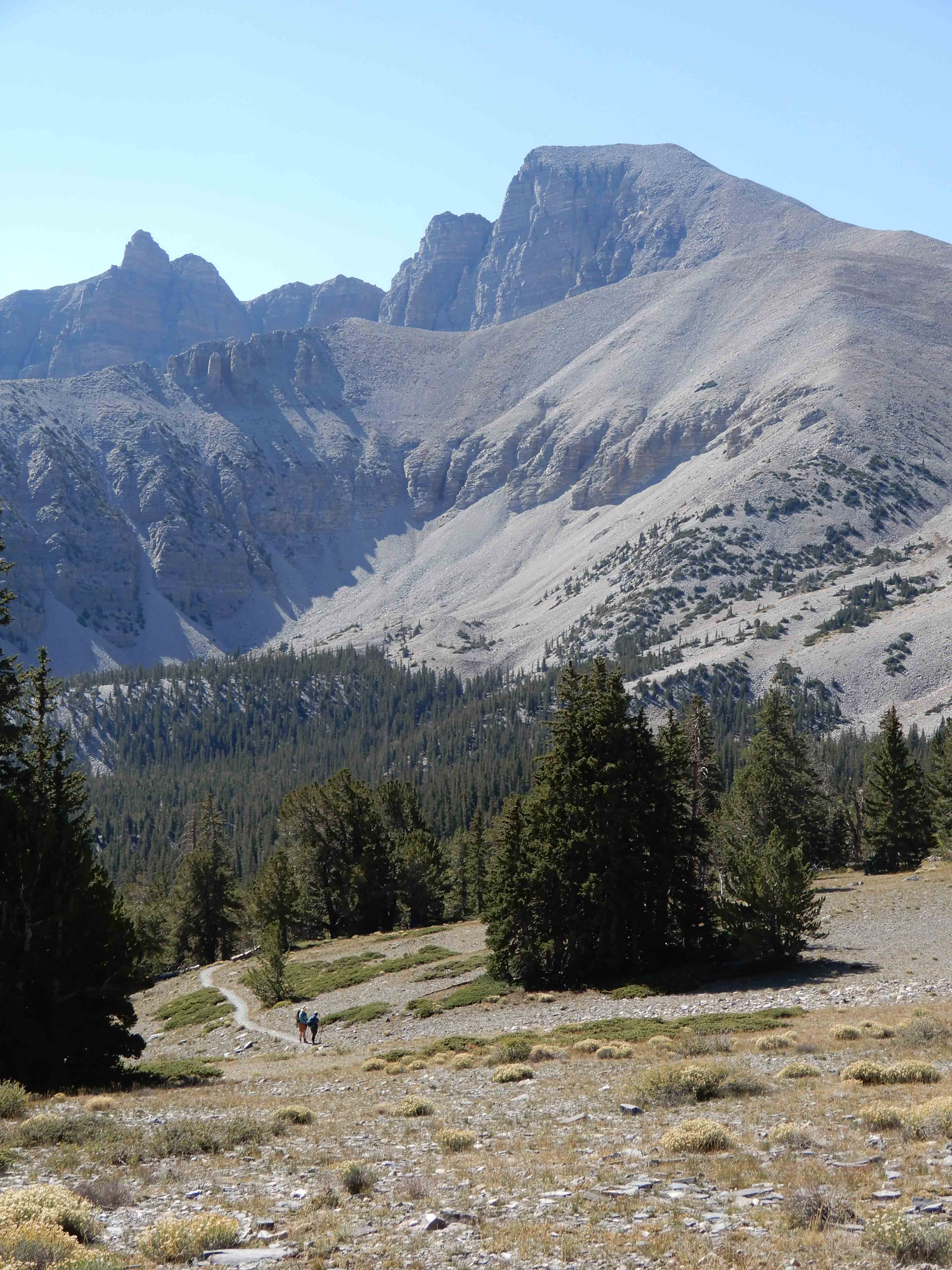
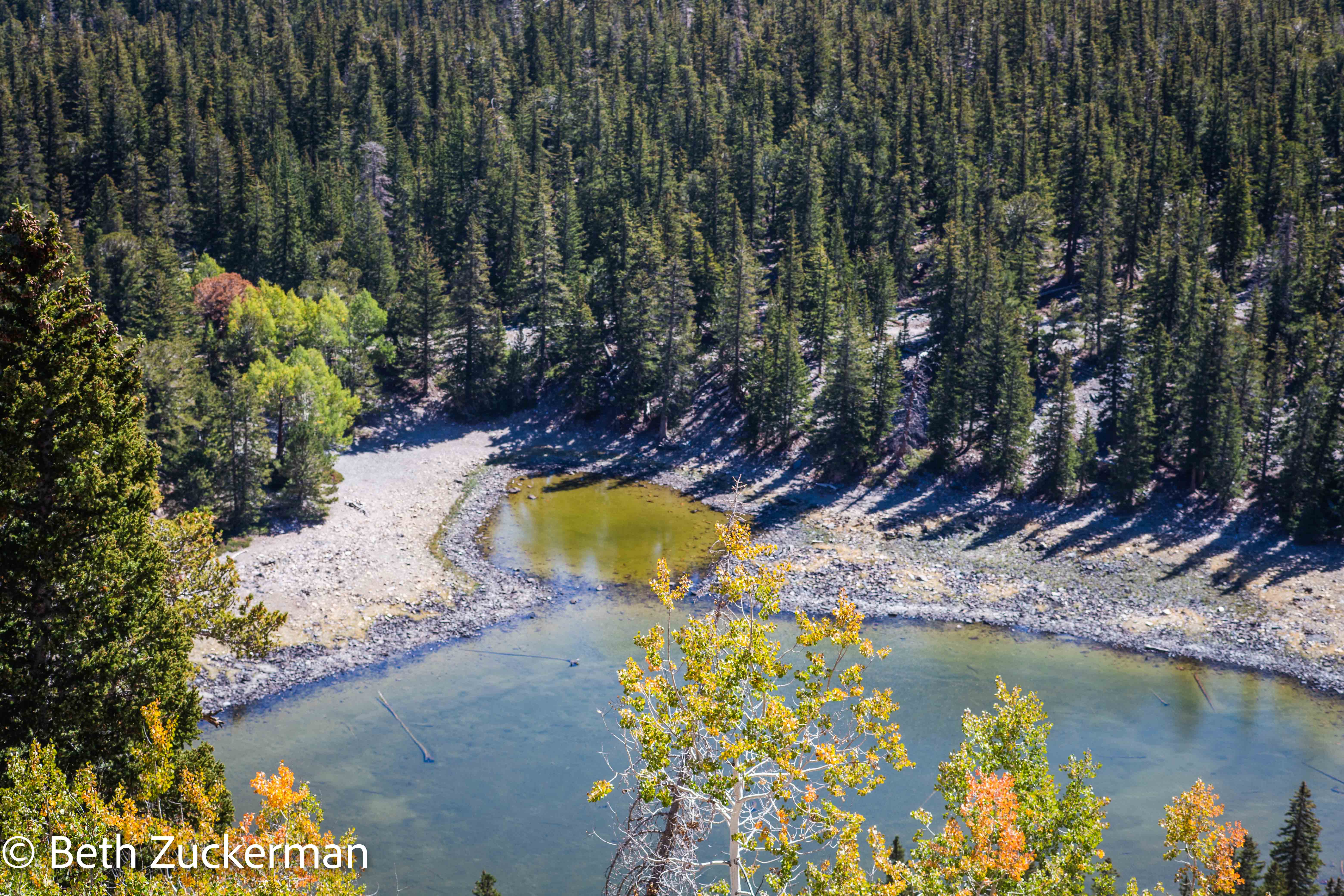
We came to a point where we could see Stella Lake, where we had gone the previous day, down below. But, while we were definitely climbing, we could tell we weren't climbing terribly steeply. Most of the 941 m/3,087 ft elevation gain was going to be in only 3 km/2 mi.
The colorful aspens faded away to conifers as we climbed.
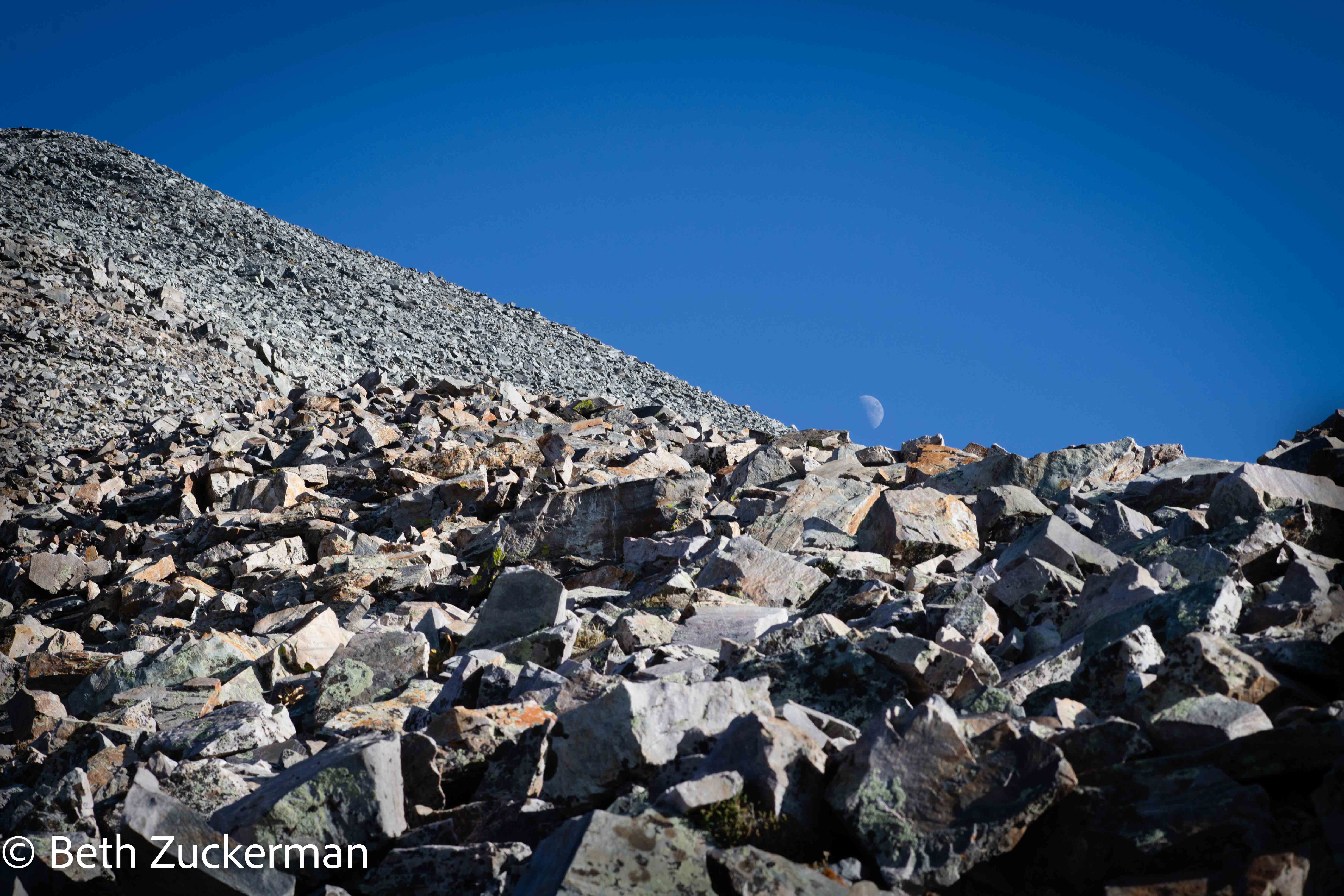
Eventually, we climbed above the tree line, and could see the peak before us. As you can see however, we were clambering through a difficult talus pile.
One by one, we saw the groups that had started up after us give up and turn around. But we didn't want to give up and be defeated. I took a picture of Eric continuing to trot up.
The trail was steep, and full of loose rock.
The peak loomed ahead.
Most of the way up, I took a panorama of the views.
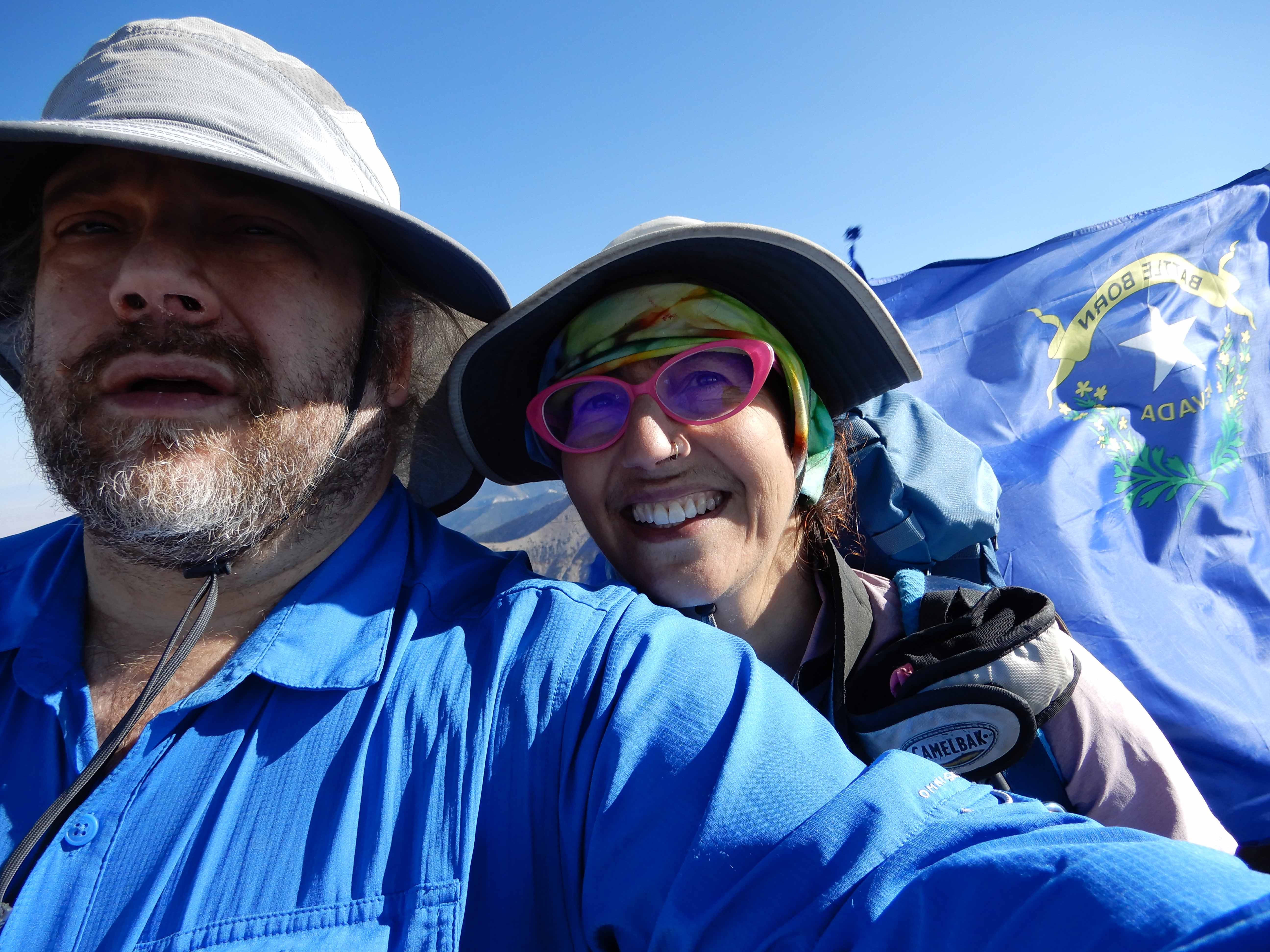
At last, at 15:37, we reached the Nevada flag at the top! We climbed to 3,973 m/13,035 ft!
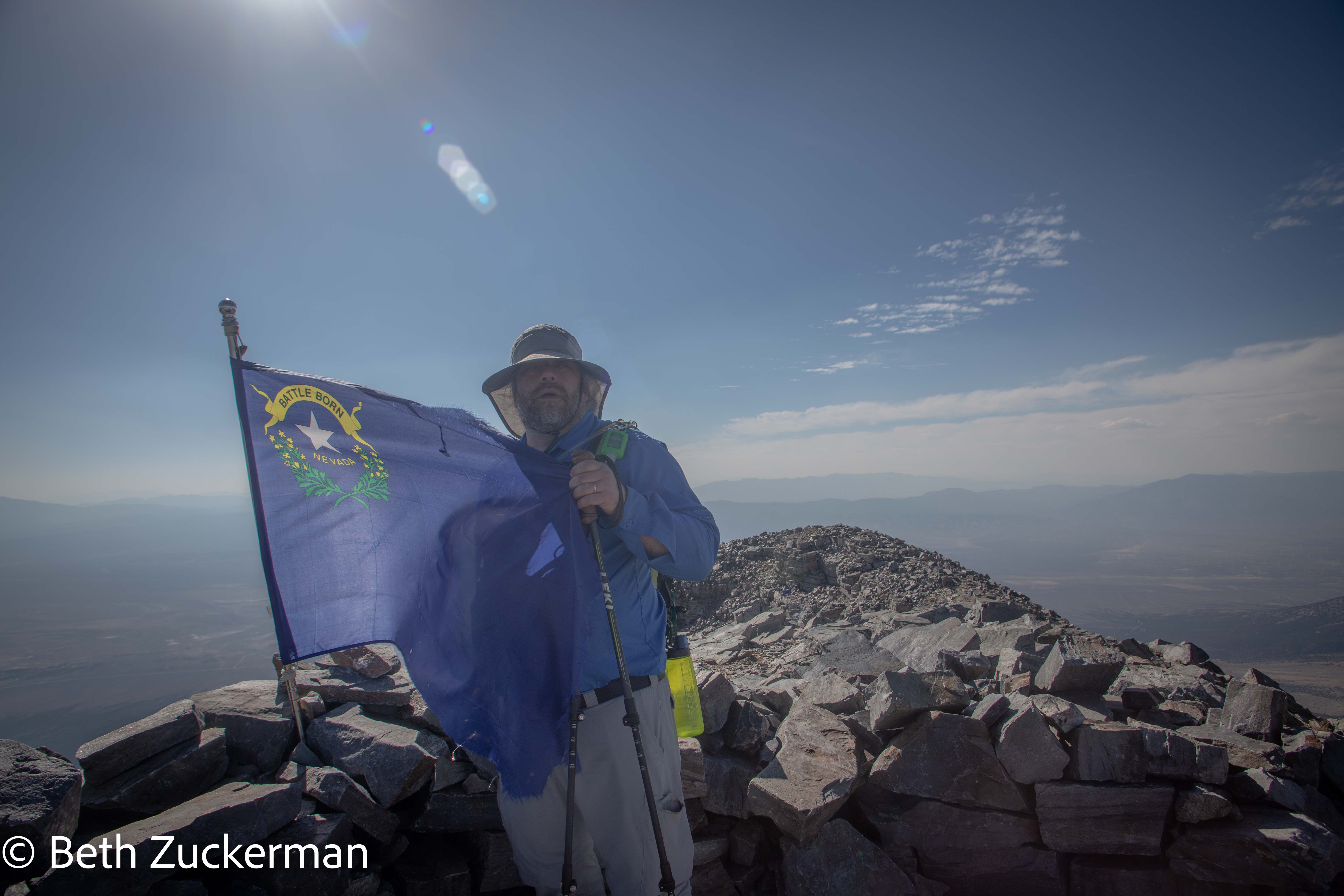
Eric took the obligatory arm's-length selfie.
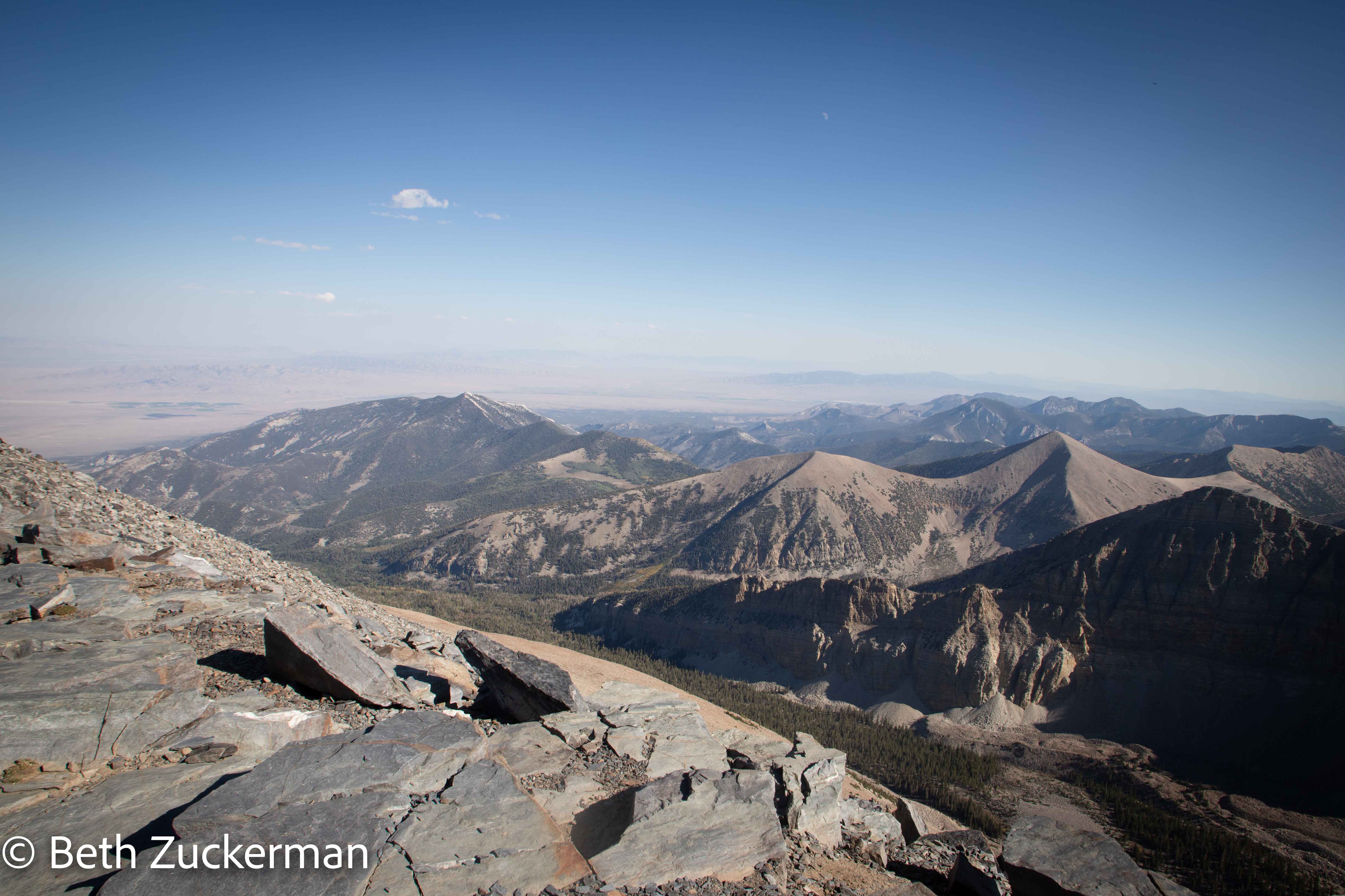
View from the summit.
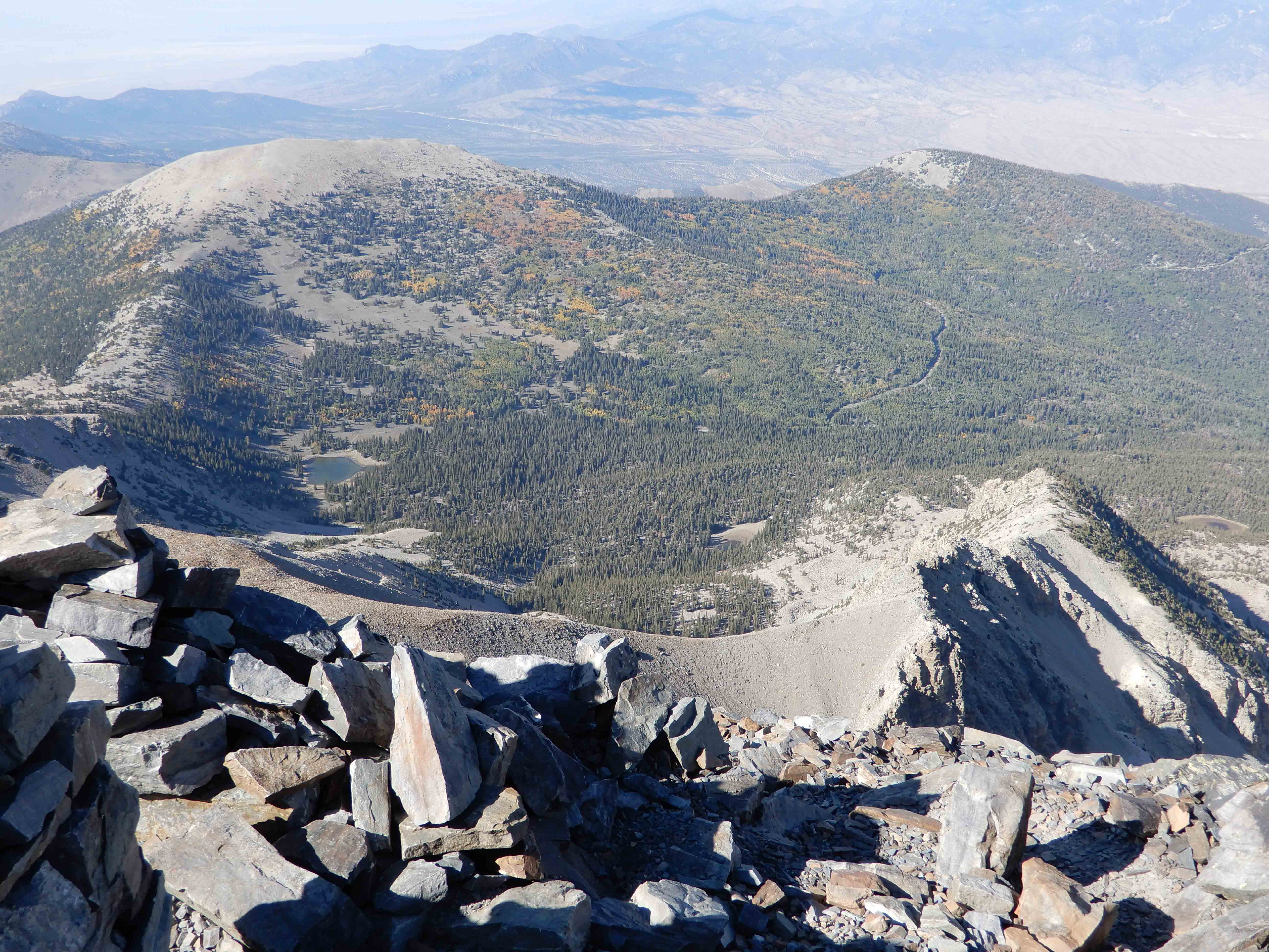
Eric's view from the summit.
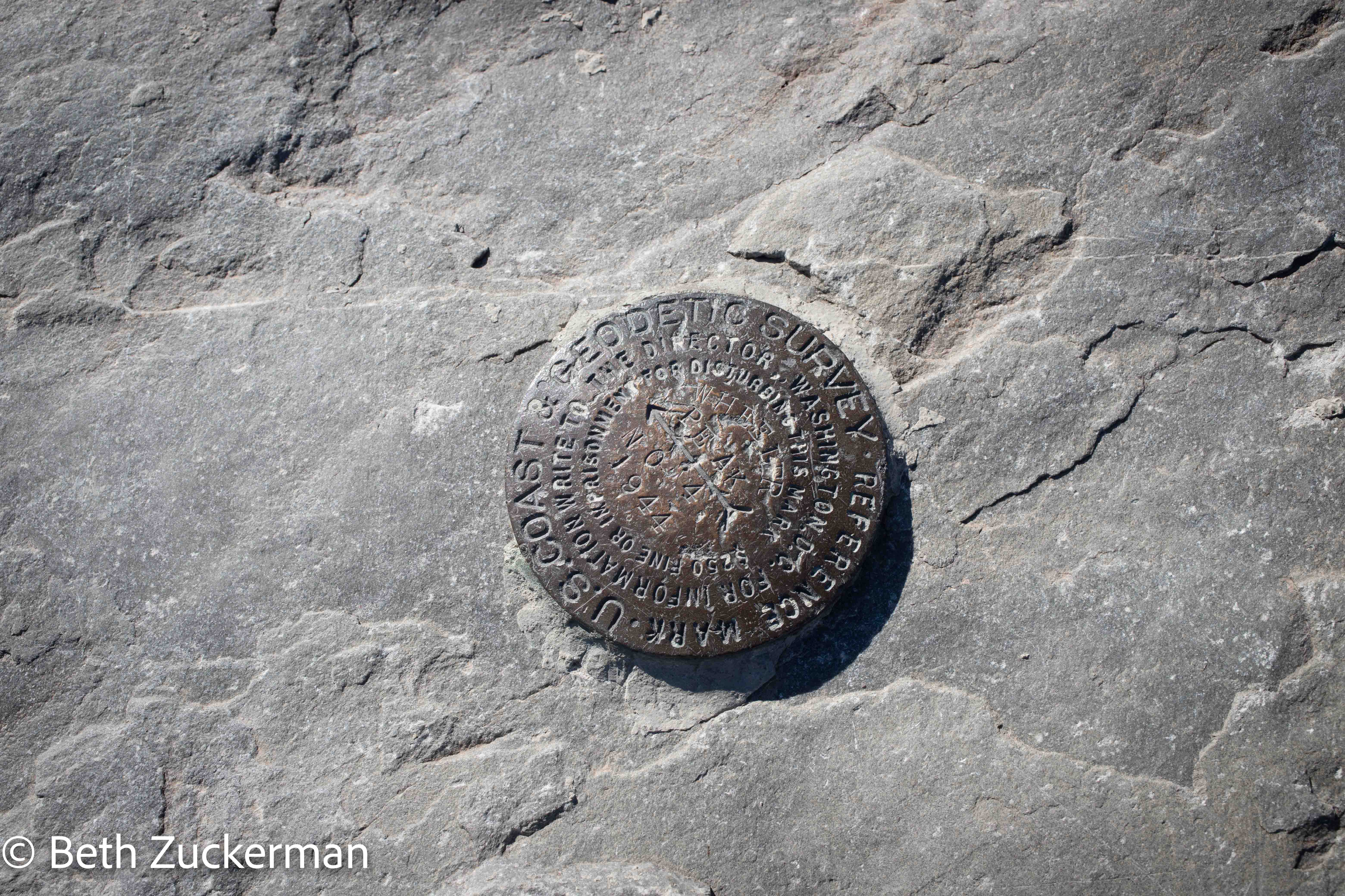
It was exhilarating being at the top, signing the log, finding the geologic marker.
But we had little time to rest, needing to get back down before dark. While we knew we could do the last 1.6 km/1 mi in the dark, we needed to get there, down this enormous talus pile, in only three hours.
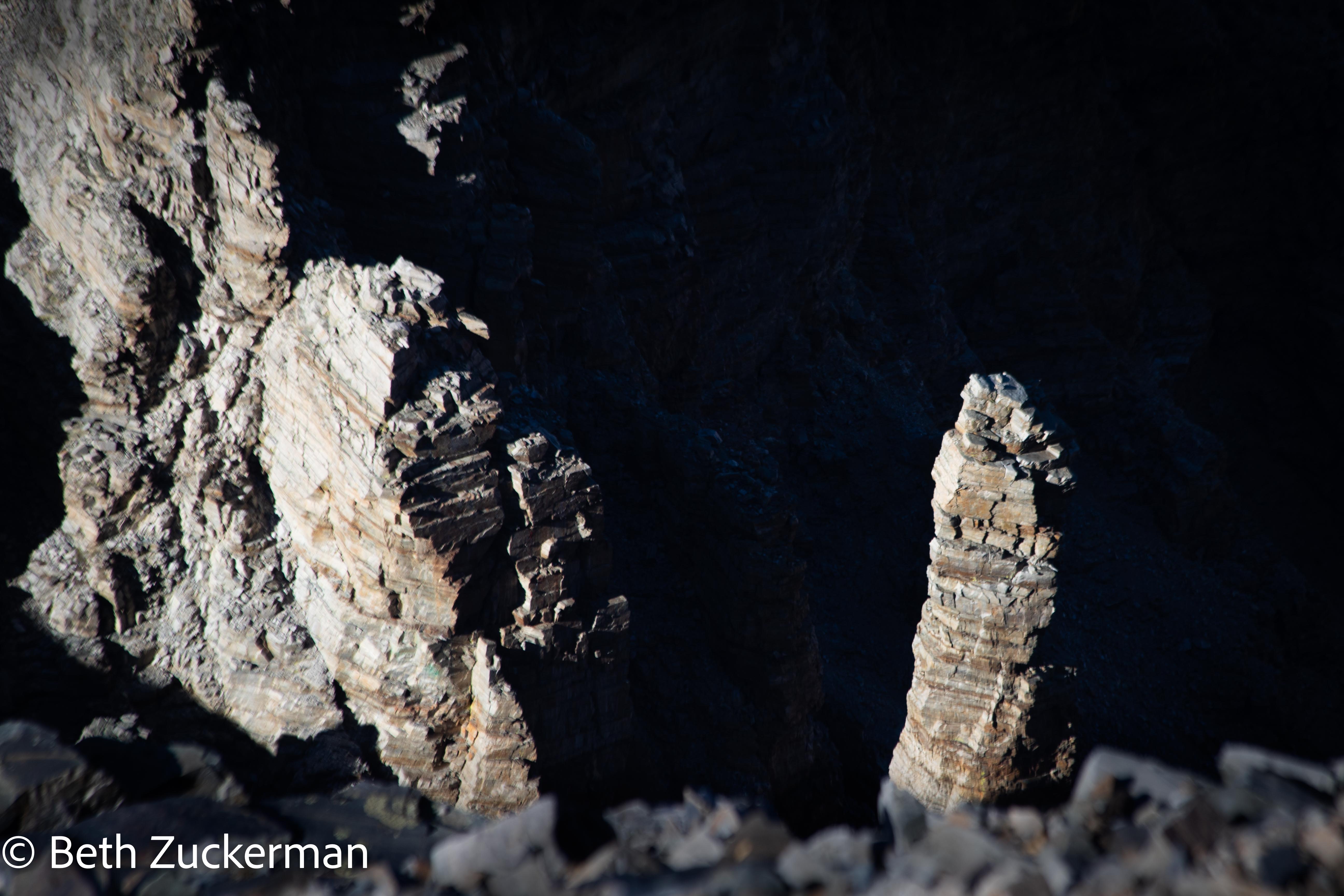
I loved the light on these columns.
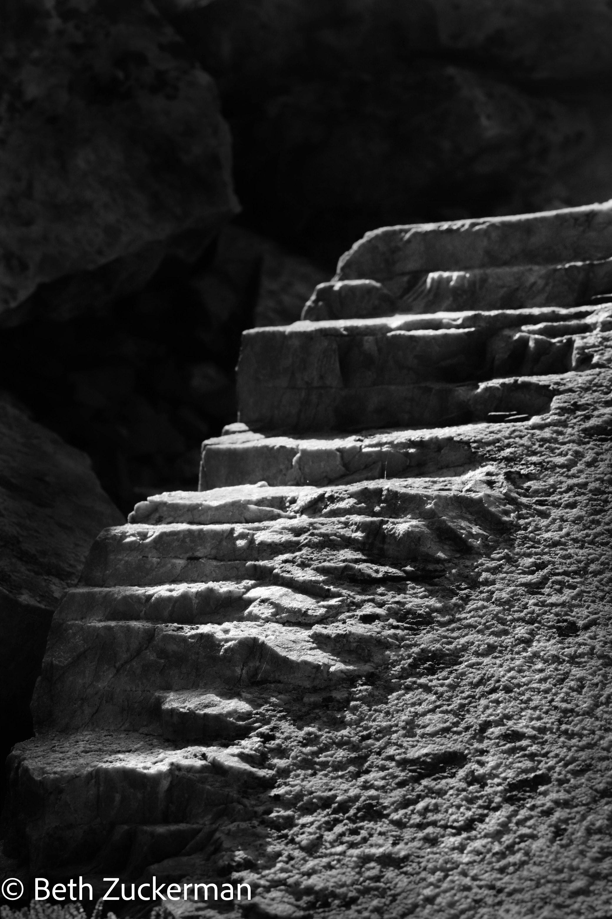
I also loved the light on these beautiful sedimentary ridges. But, as you can see, while the light was great for photography, the sun was lowering on the horizon.
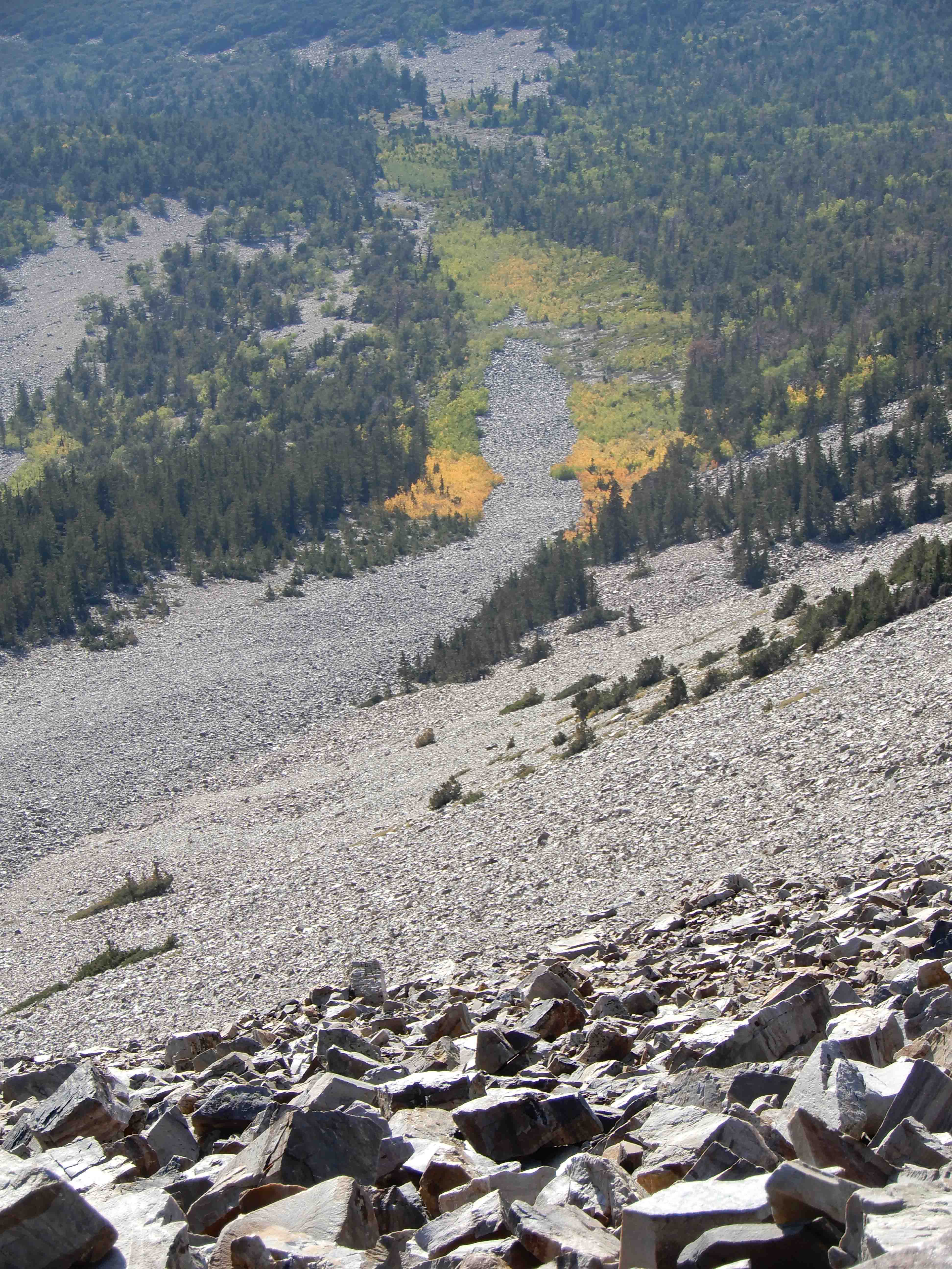
Eric took a view looking down at the aspens.
Aspens further down the slope in the fading light.
I gave up on my hopes of reaching the easy part of the trail before full darkness, but continued to hope at least to get off the talus slope and back to the aspens before sundown.
Much as I was frustrated to see it, it was a beautiful sunset.
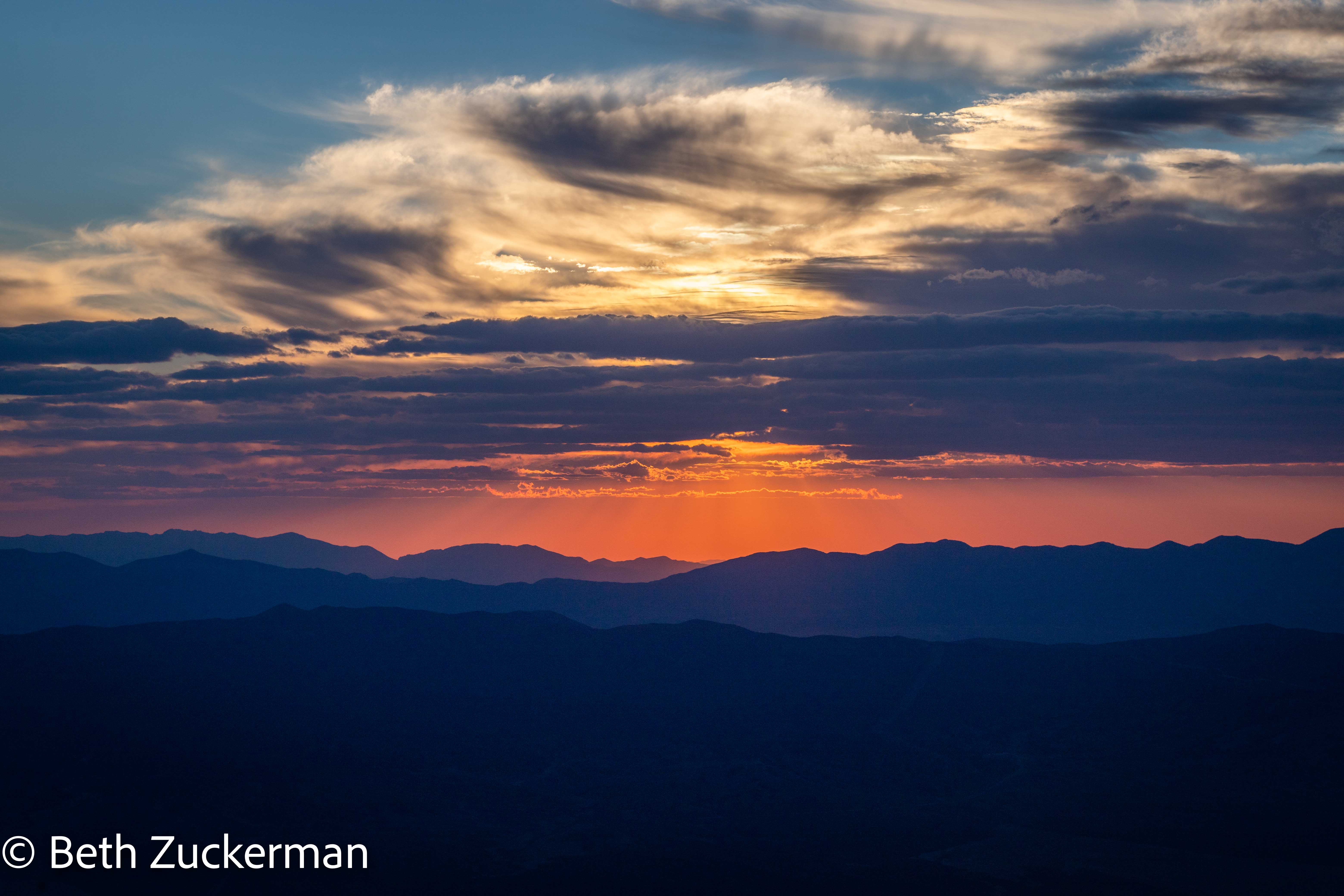
Lovely late light on the mountains.
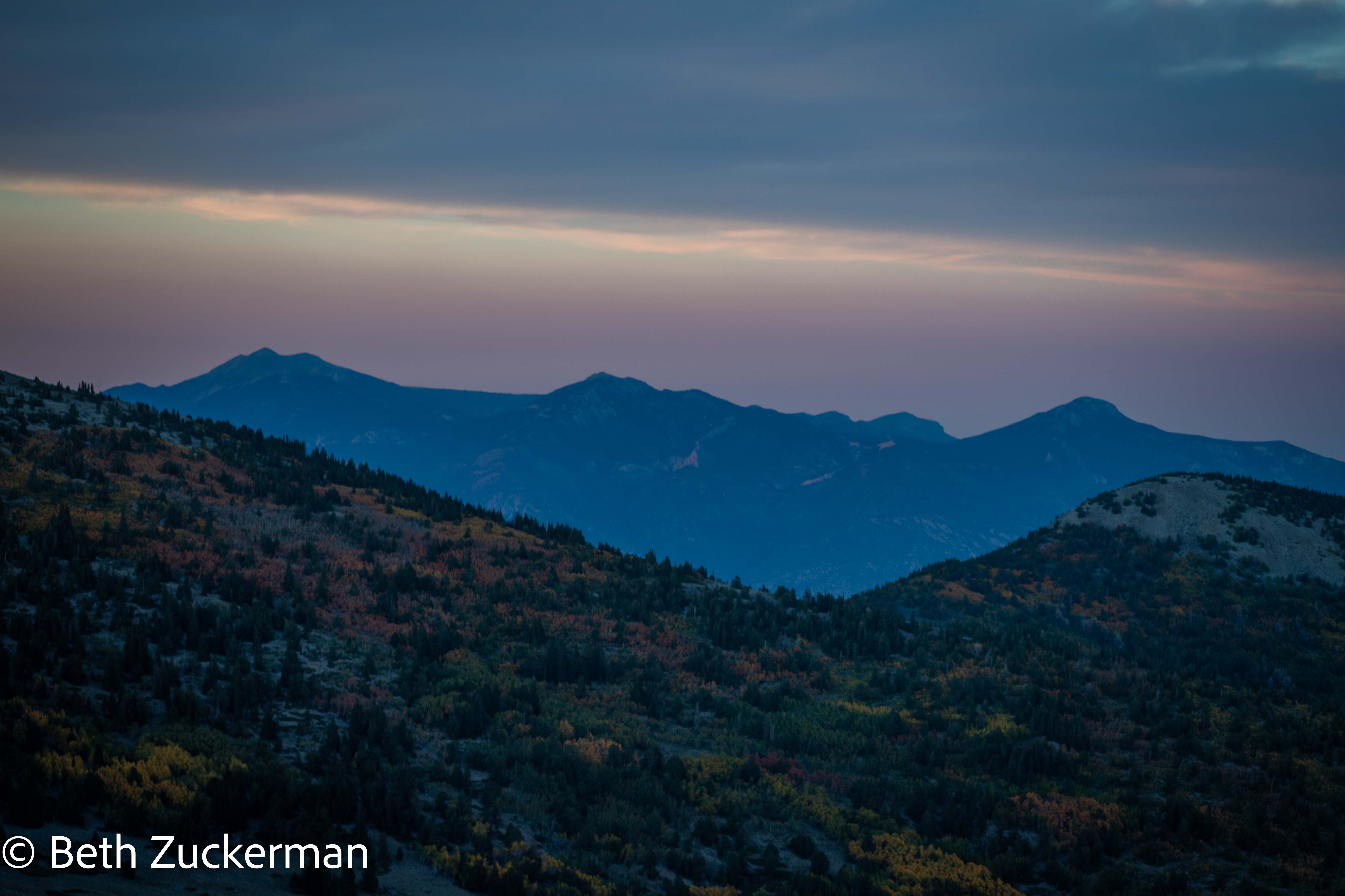
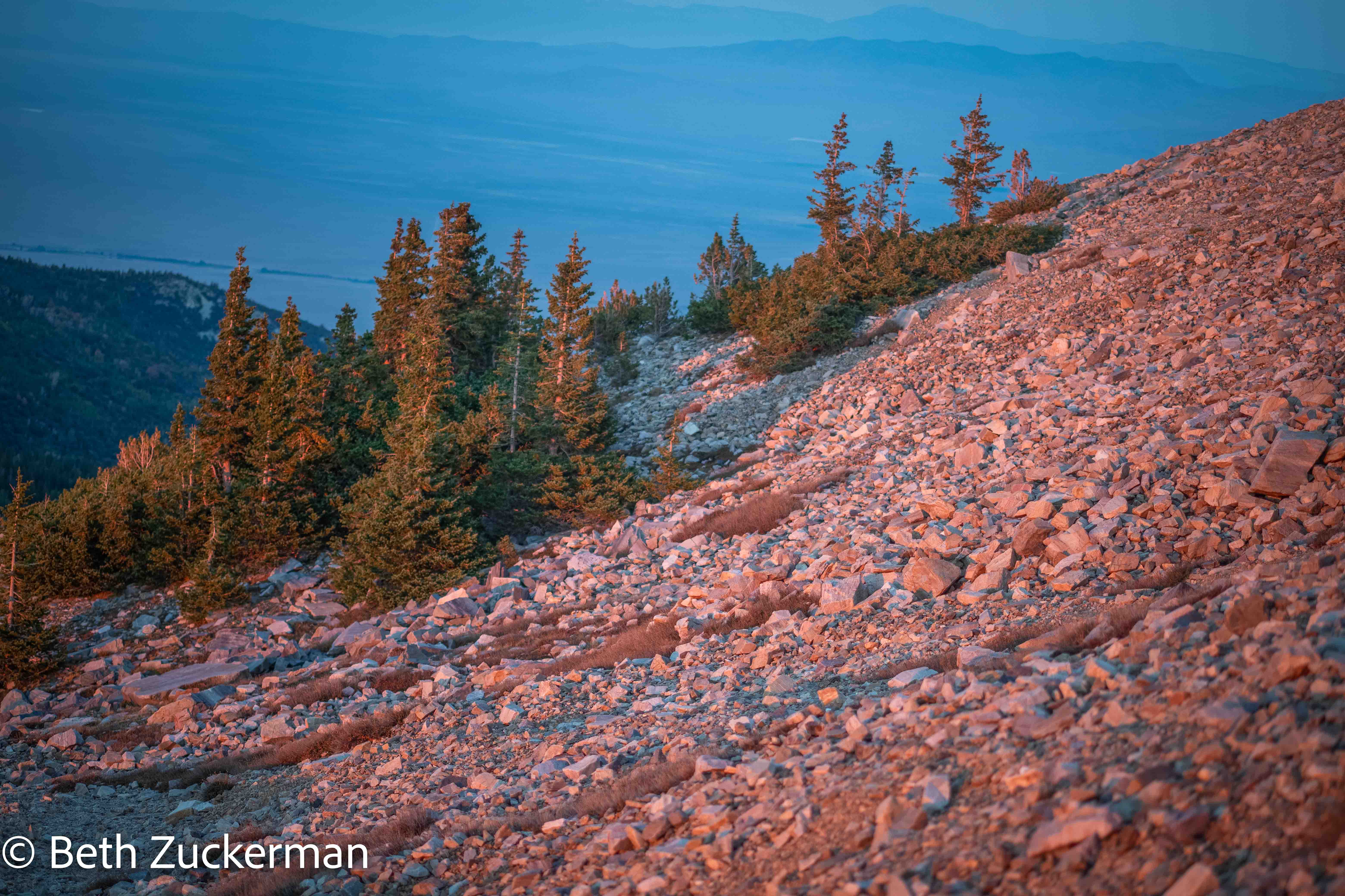
As the last rays of the sun were lowering below the horizon, we left the talus pile and reached the conifers. The aspens were still further below. But the sunset brought out the pinks in the rocks.
For obvious reasons, we don't have any more pictures. We made our way down through the conifers and were into the aspens before full darkness descended. But we didn't make it back to the easy trail before it was fully dark. A half moon shed some light on the trail, but eventually we had to pull a headlamp and flashlight out of our packs.
We felt safer once we got back to the flatter, easier part of the part of the trail. But that last 1.6 km/1 mi seemed to go on forever. We just couldn't get back to Mather and the parking lot. It was a difficult struggle.
At last, we found the trailhead, gratefully took off our packs and boots, and relaxed, knowing that we had not only reached the summit, but made it safely. It was 20:45; the hike had been 11.5 grueling hours.
Perhaps we didn't exercise the best judgment, but it turned out all right, nothing got broken, no one was struck by lightning, we didn't have to be rescued by rangers and endure a stern lecture. Instead, we got to look at the summit on the way back and say, "We went up there!"
Map of this difficult hike.
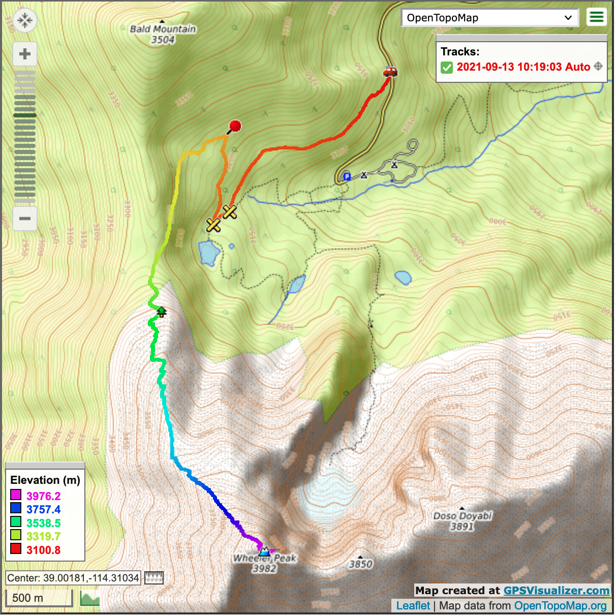
Distance hiked: 14 km/8.6 mi up and down!
Distance driven: 51 km/32 mi, cumulative 1,101km/684 mi
Caches found: 1
On to Escalante Petrified Forest State Park.