Calf Creek Falls
Thursday 16 September, 2021
Calf Creek Falls. Photo by Eric.
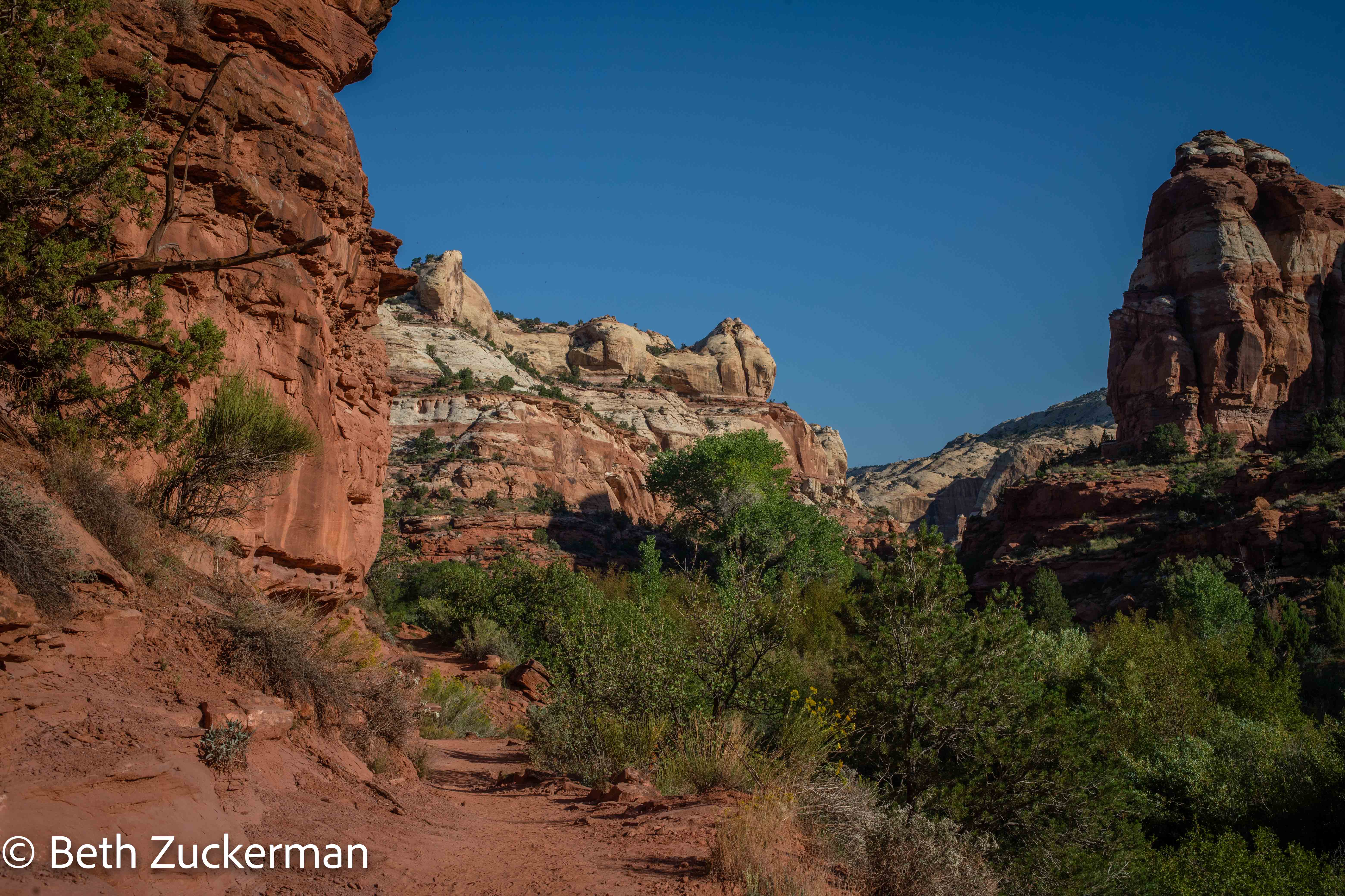
This lovely hike may well have made the best day of our trip. After the prior day's failure to find the slot canyons, this time, we went in guided by an abundance of information, Alltrials and geocaching listings. We started early while the weather was cool, and thoroughly enjoyed the hike through this lovely canyon to an eventual gorgeous destination at the end.
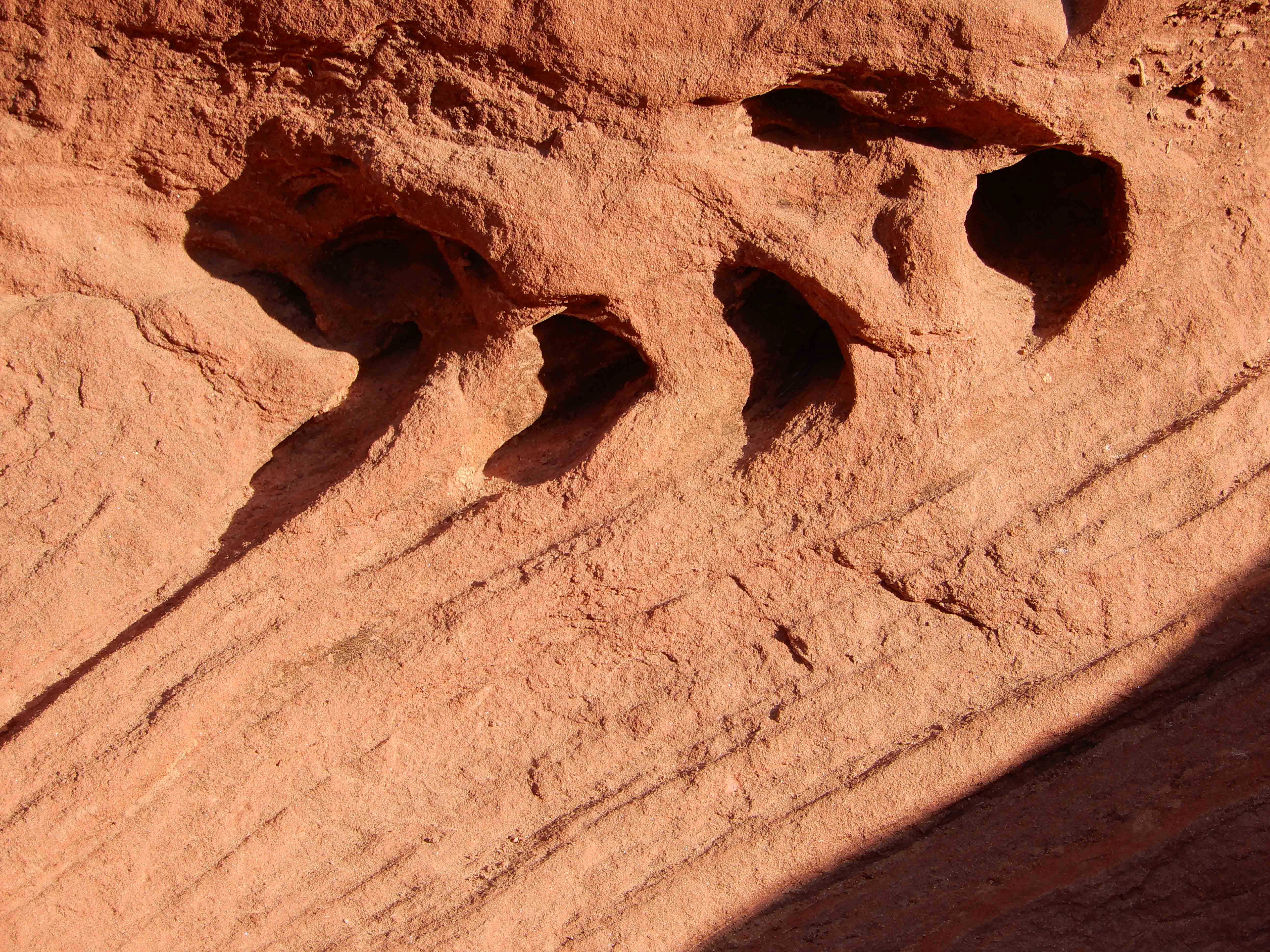
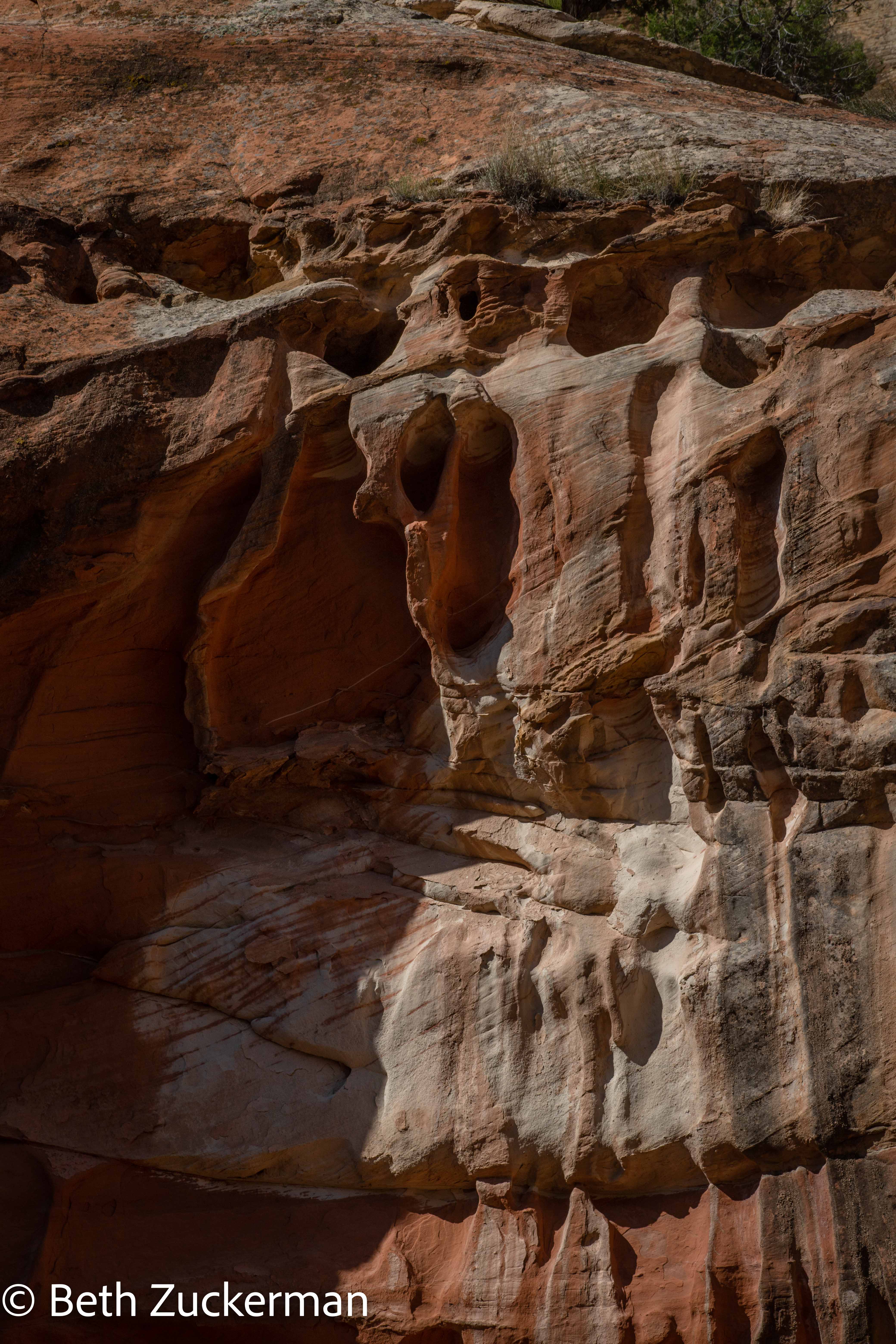
The walls of this river-carved canyon were lined with this sort of evidence of water/flash flood erosion.
Eric photographed more evidence of water/flash flood erosion.
Eric photographed yet more such evidence.
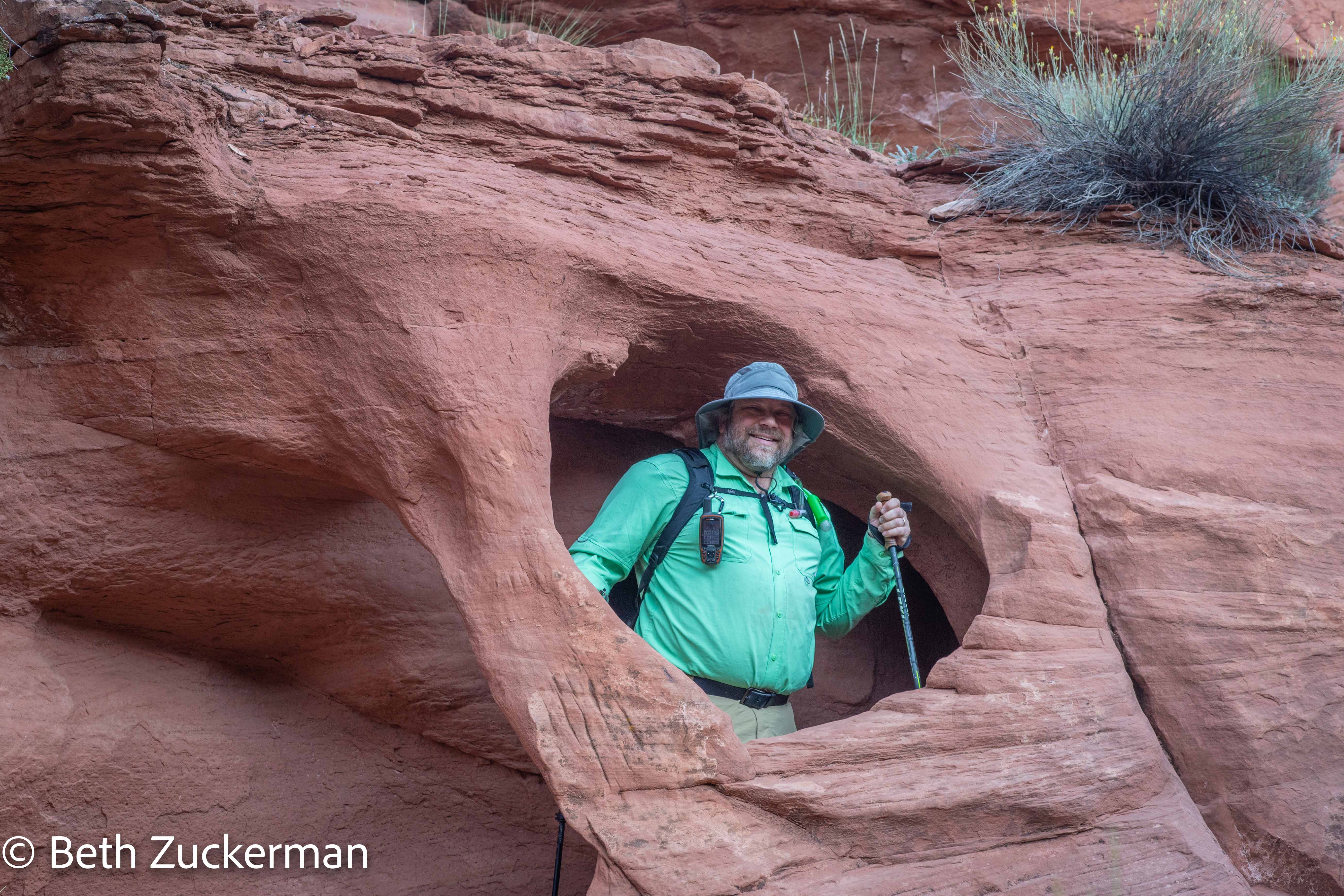
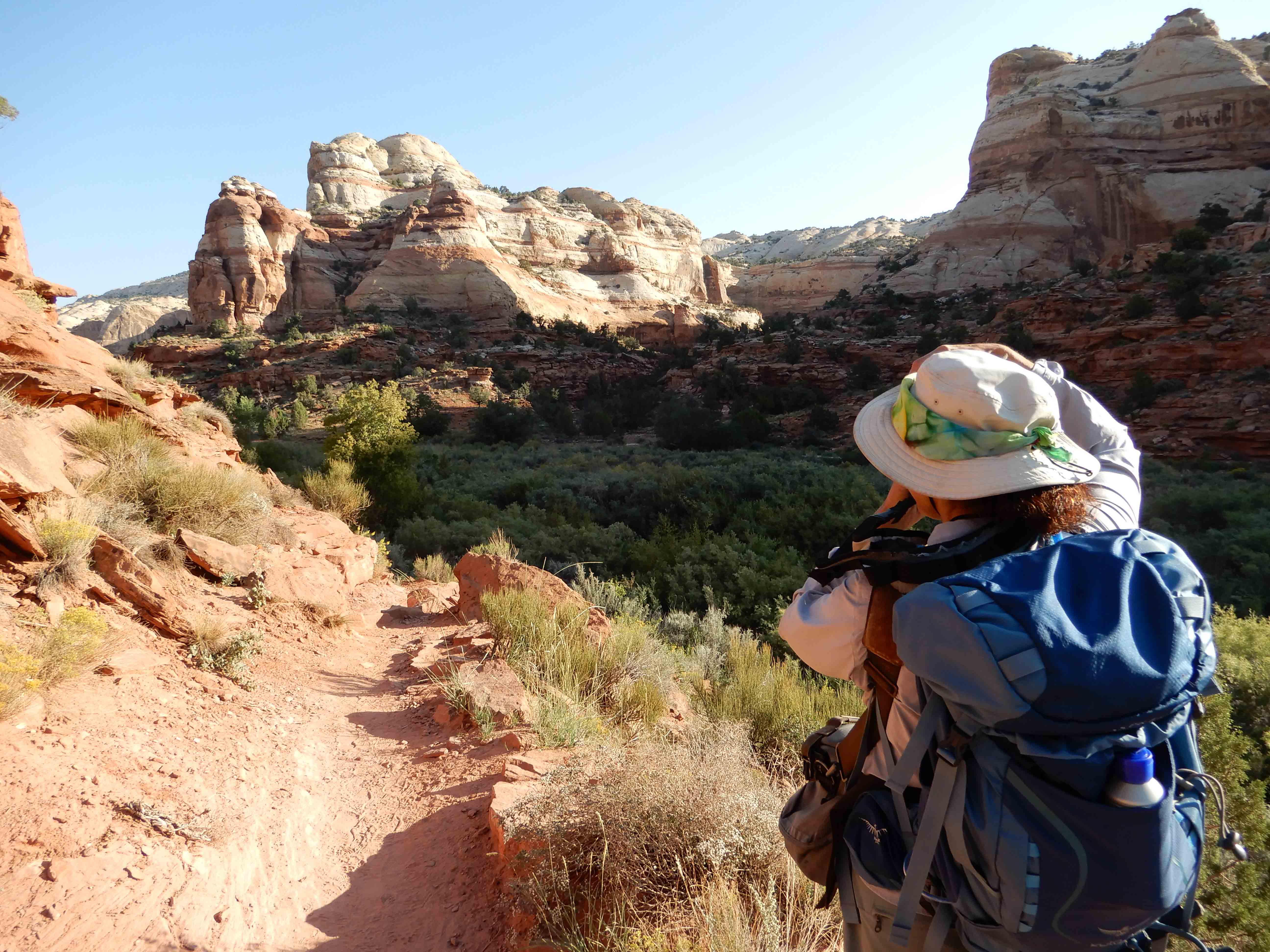
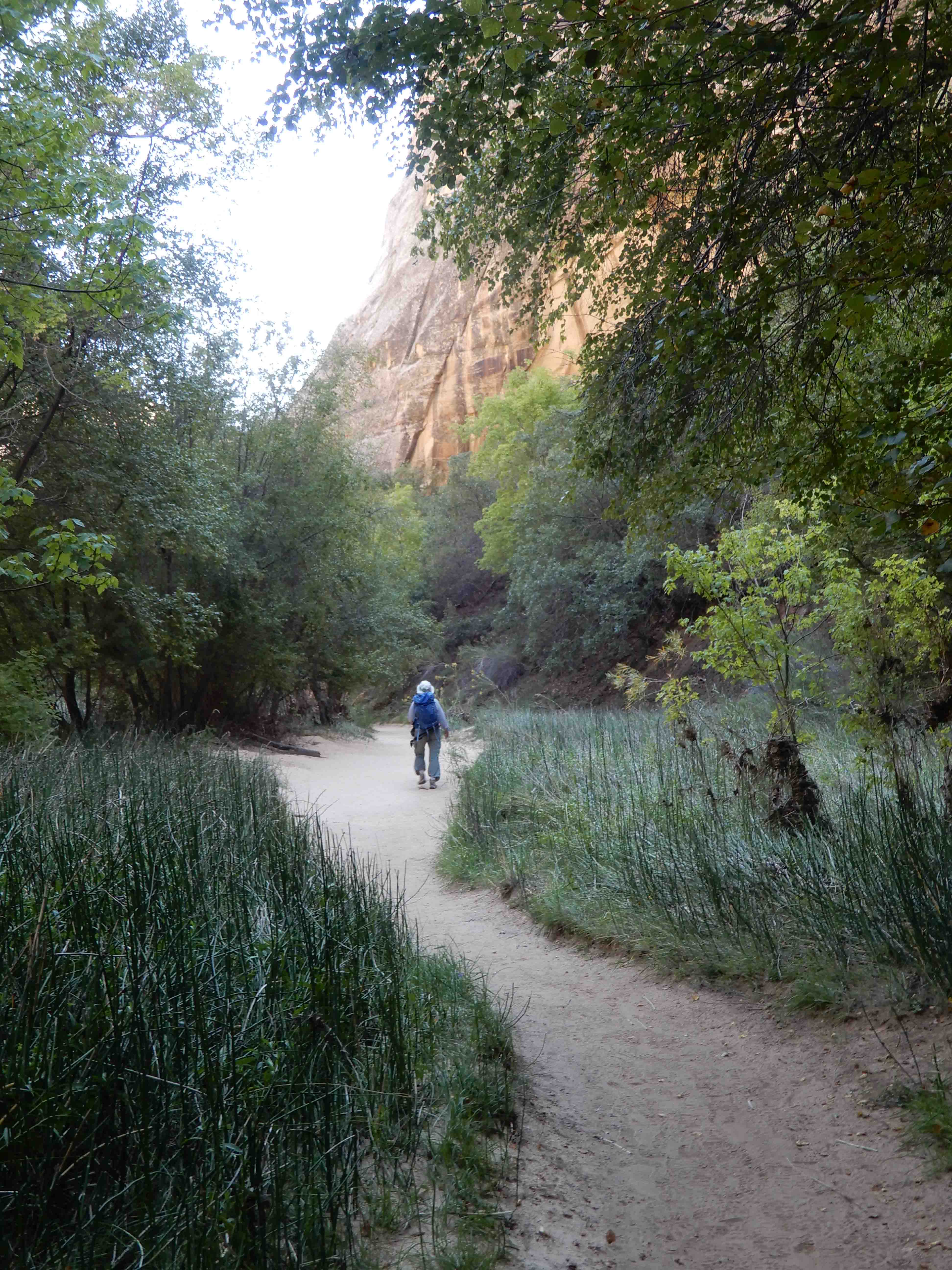
Eric took a picture of me as I was shooting the amazing Navajo Sandstone formations above us.
Examples of beautiful Navajo Sandstone.
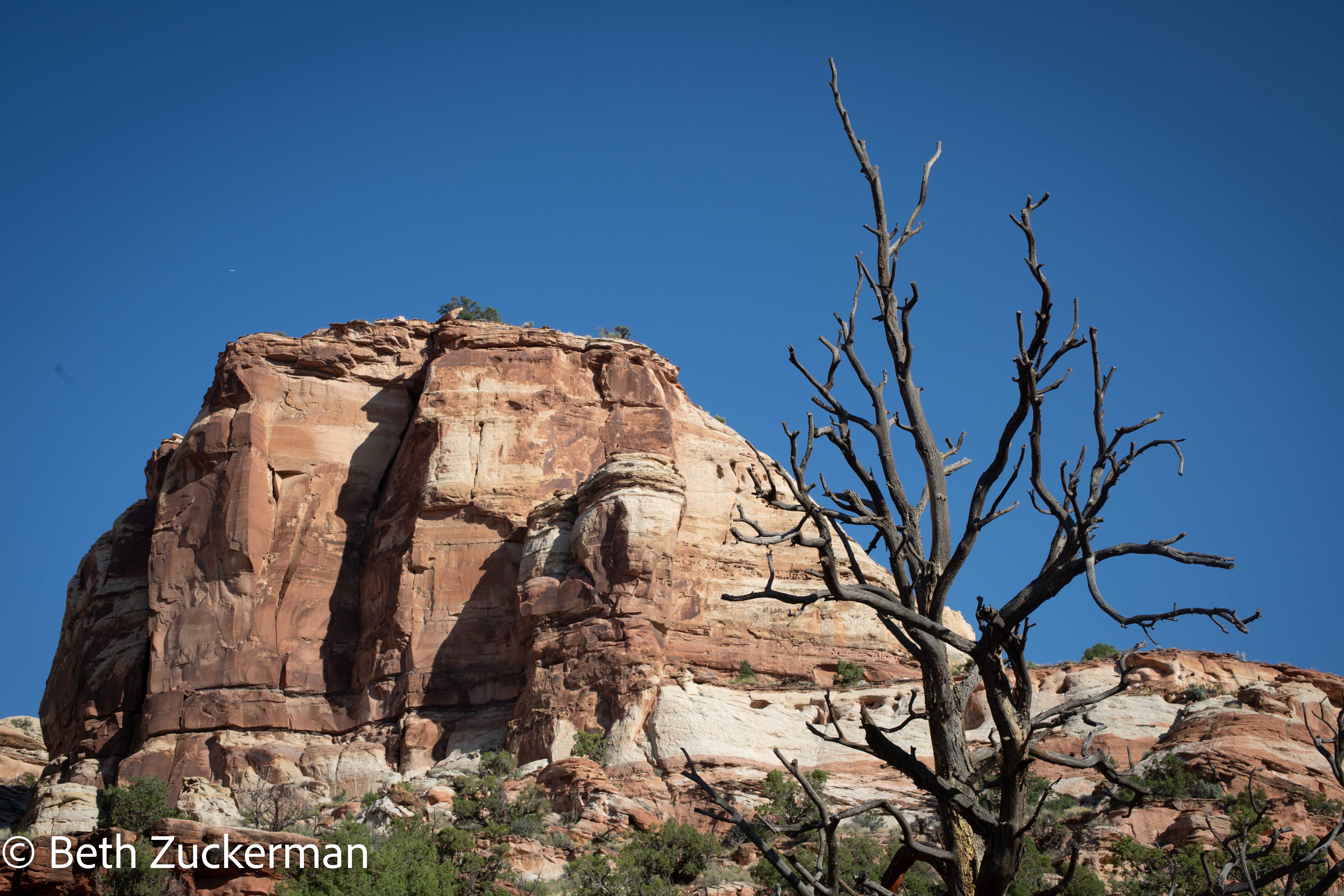
Rock formations and, perhaps, a Piñon Pine?
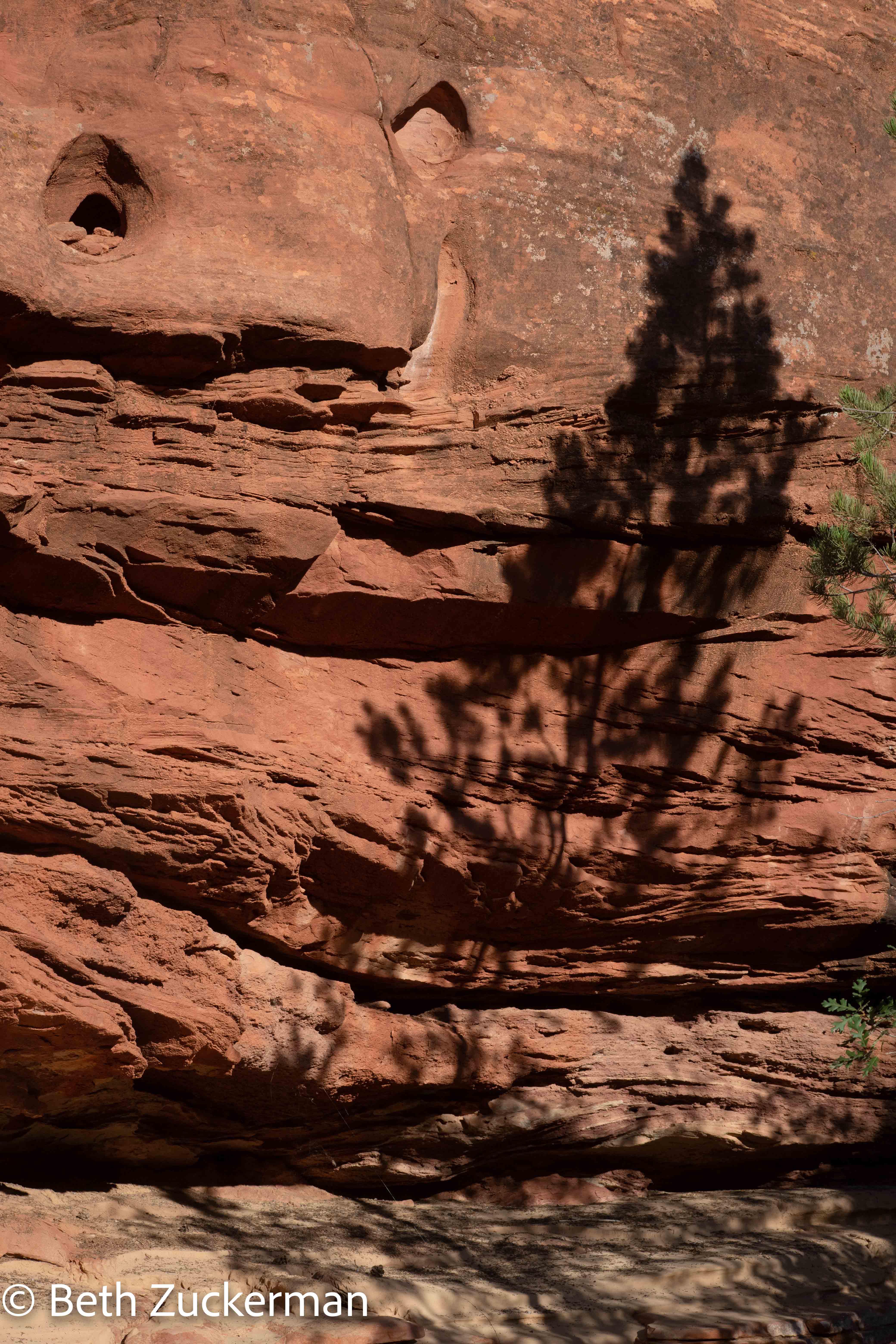
Shadow of a tree on, perhaps, Wingate Sandstone, Chinle Formation, or both.
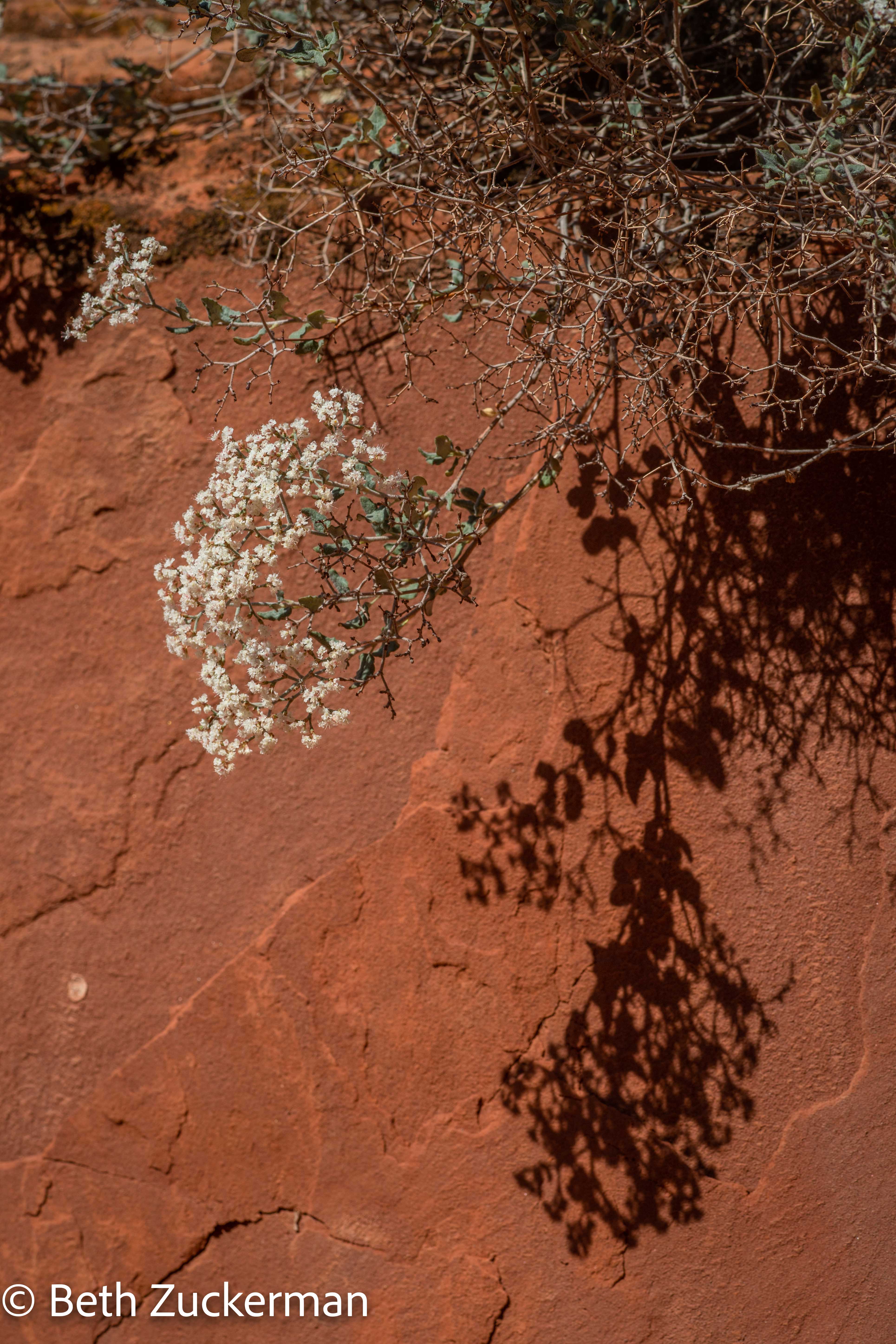
Shadow of a flower on a pretty rock.
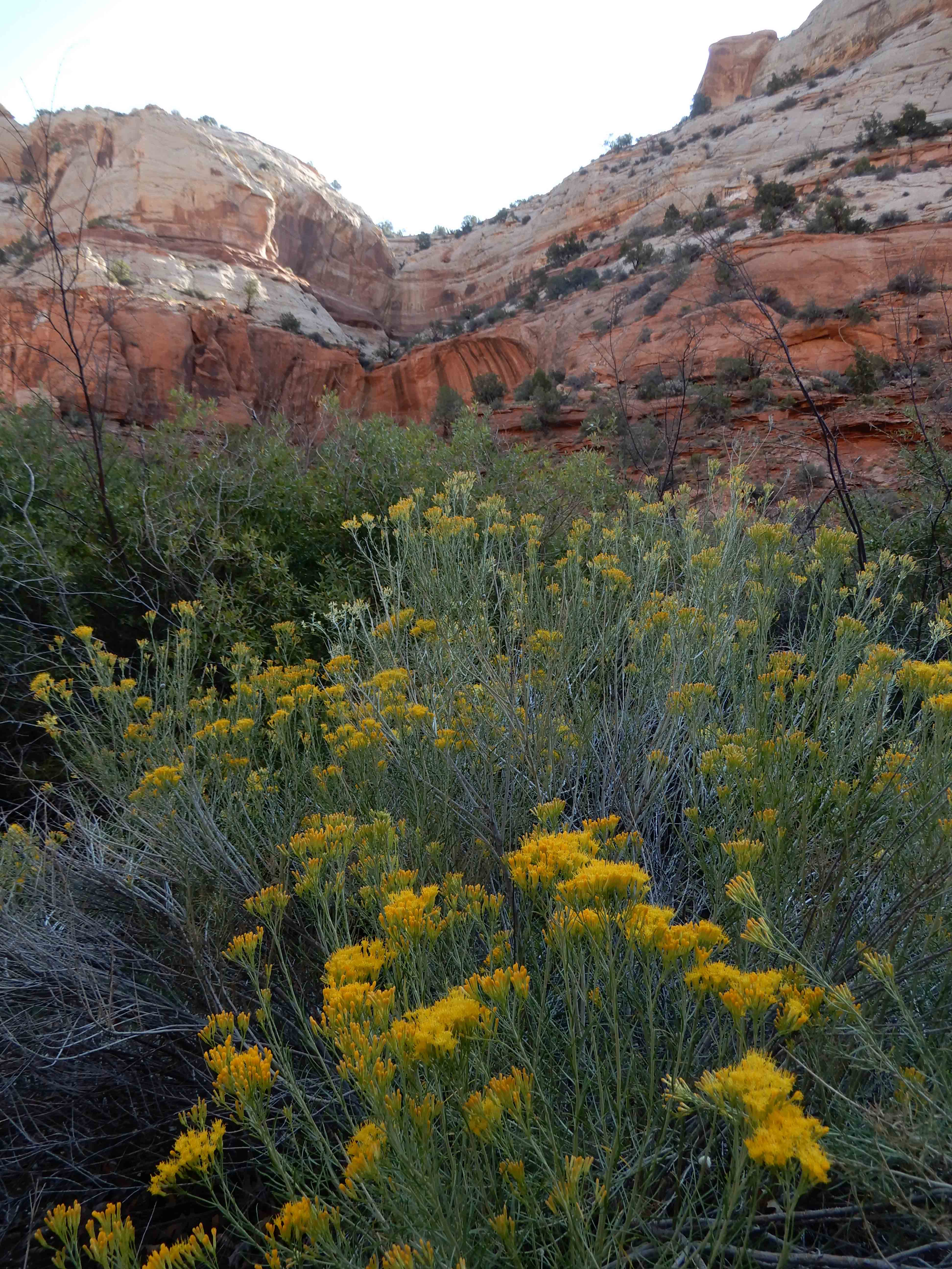
Eric photographed the unusual rocks with the more familiar Rubber Rabbit Bush in the foreground.
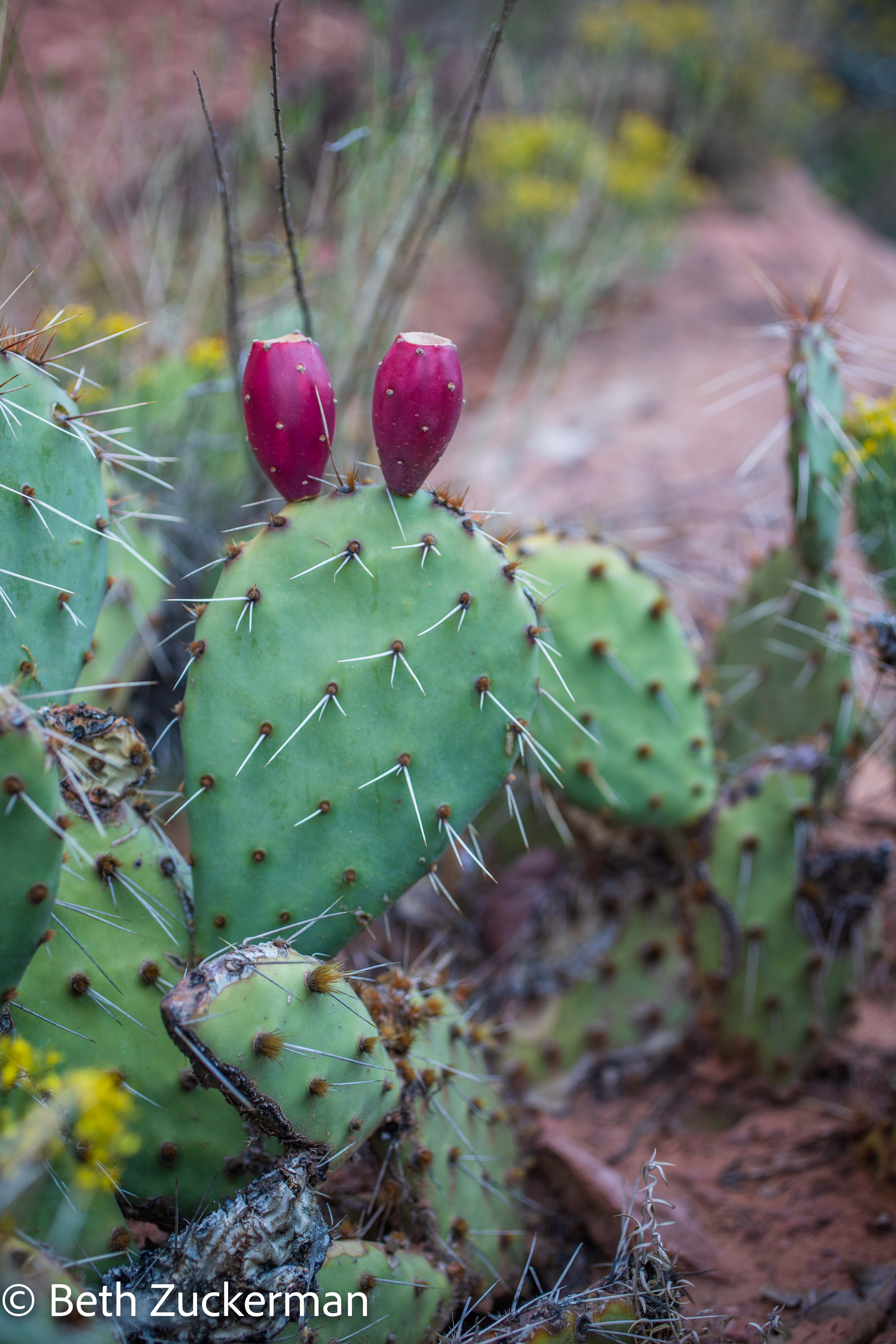
A different variety of prickly pear than we have in the yard of the Zuckershack.
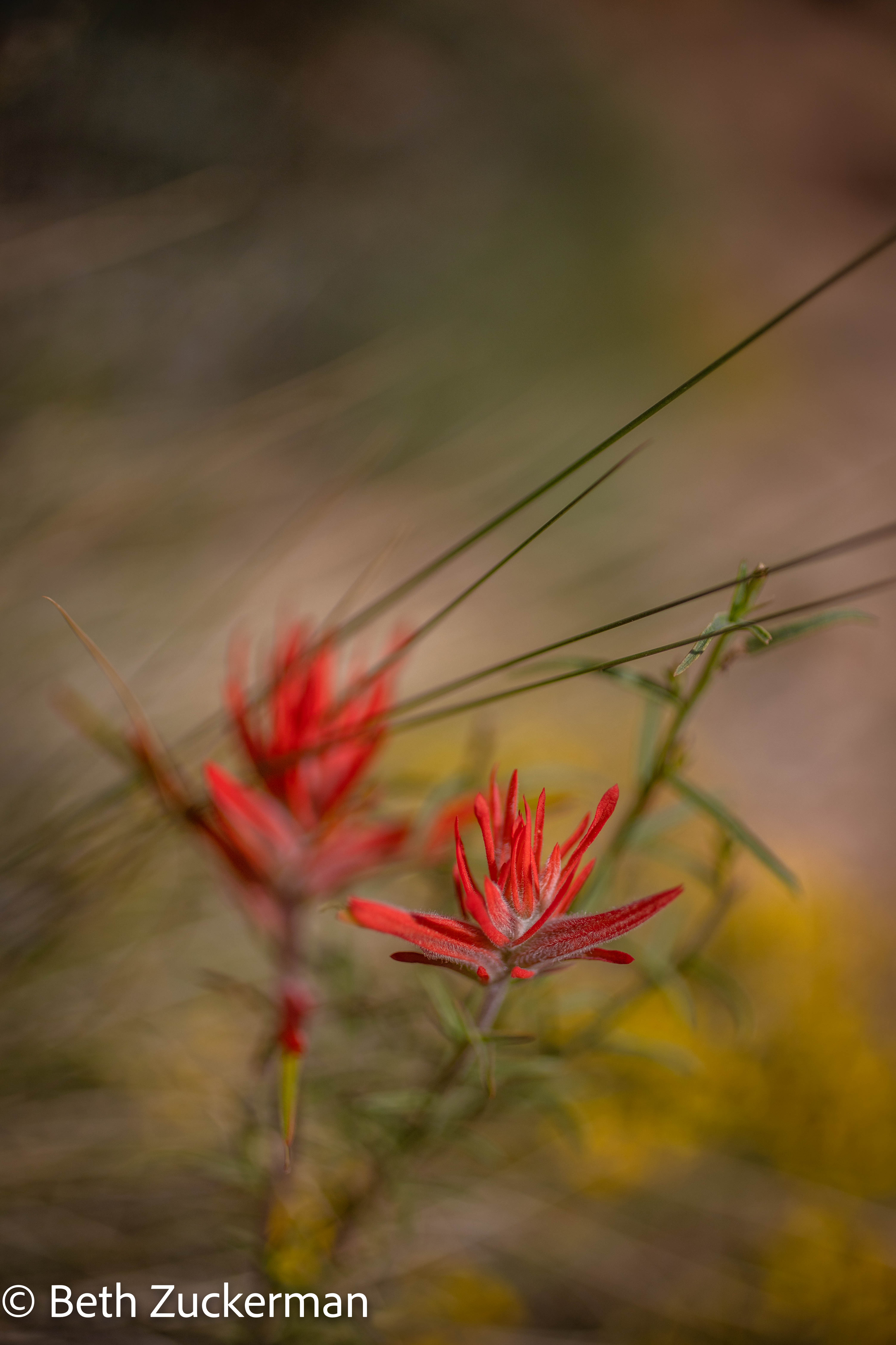
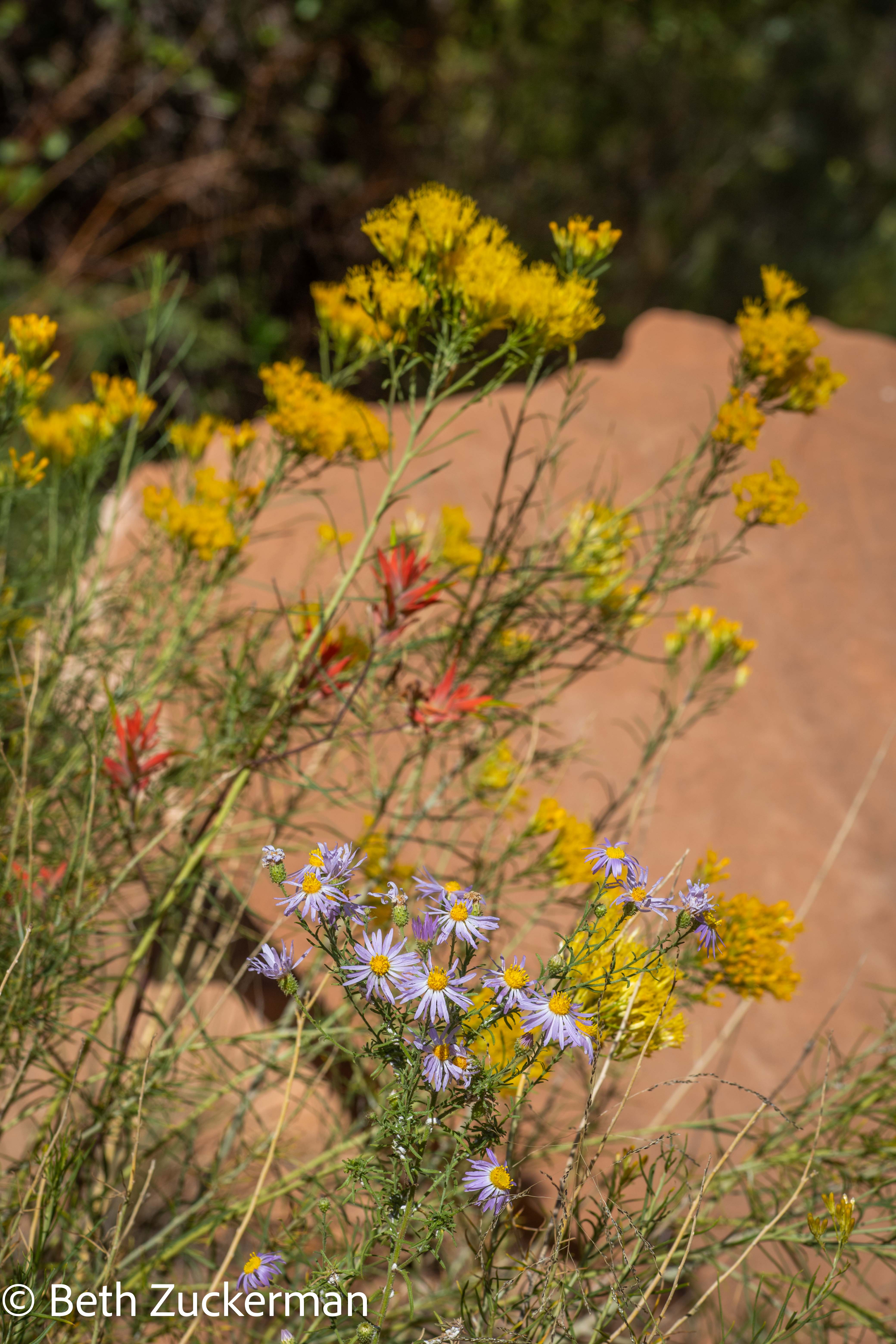
We also have this paintbrush on the west coast.
A group of wildflowers, the reddish paintbrushes, the yellow Rubber Rabbit Bush, and the purple...?
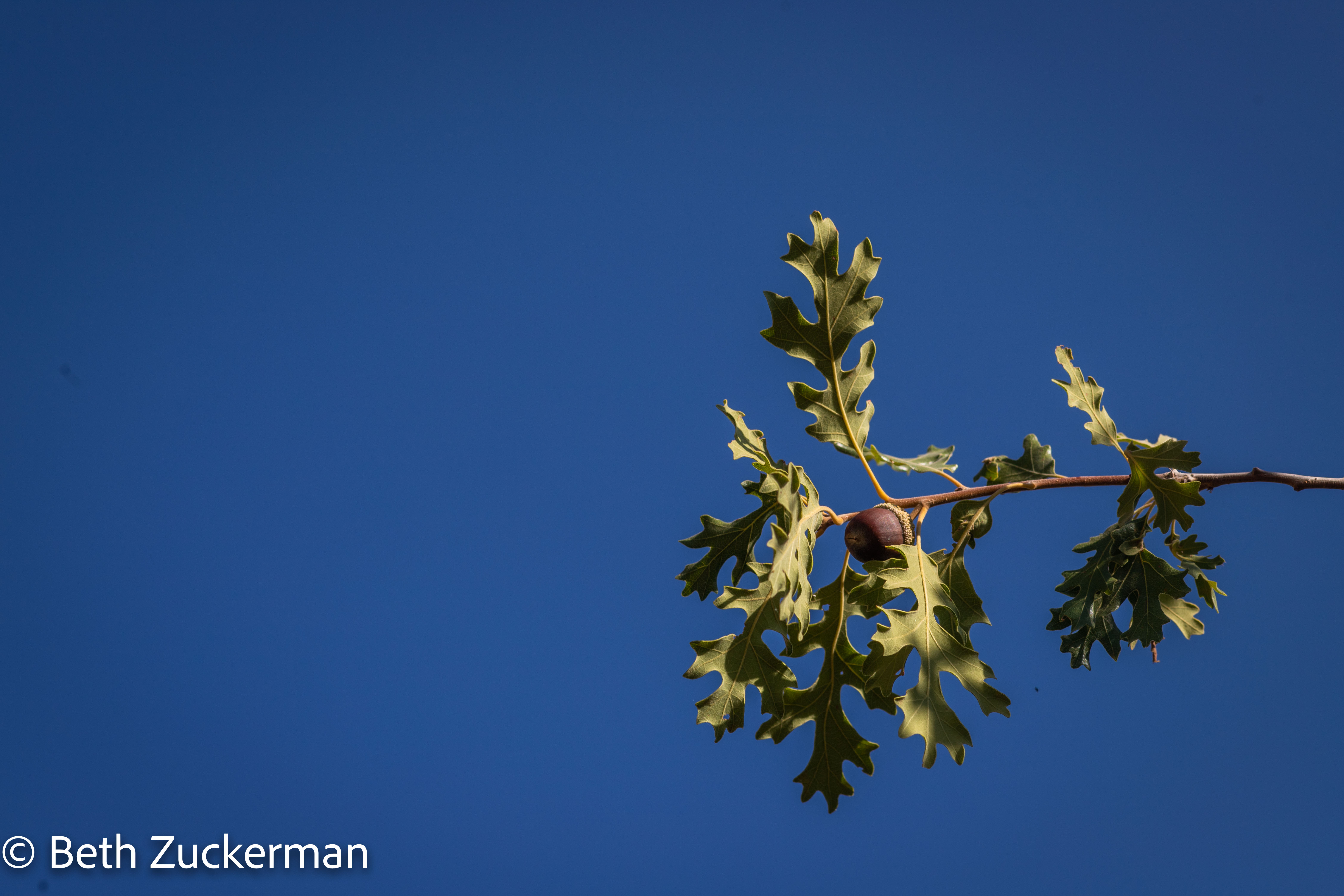
Gambel Oak acorn hanging above the trail.
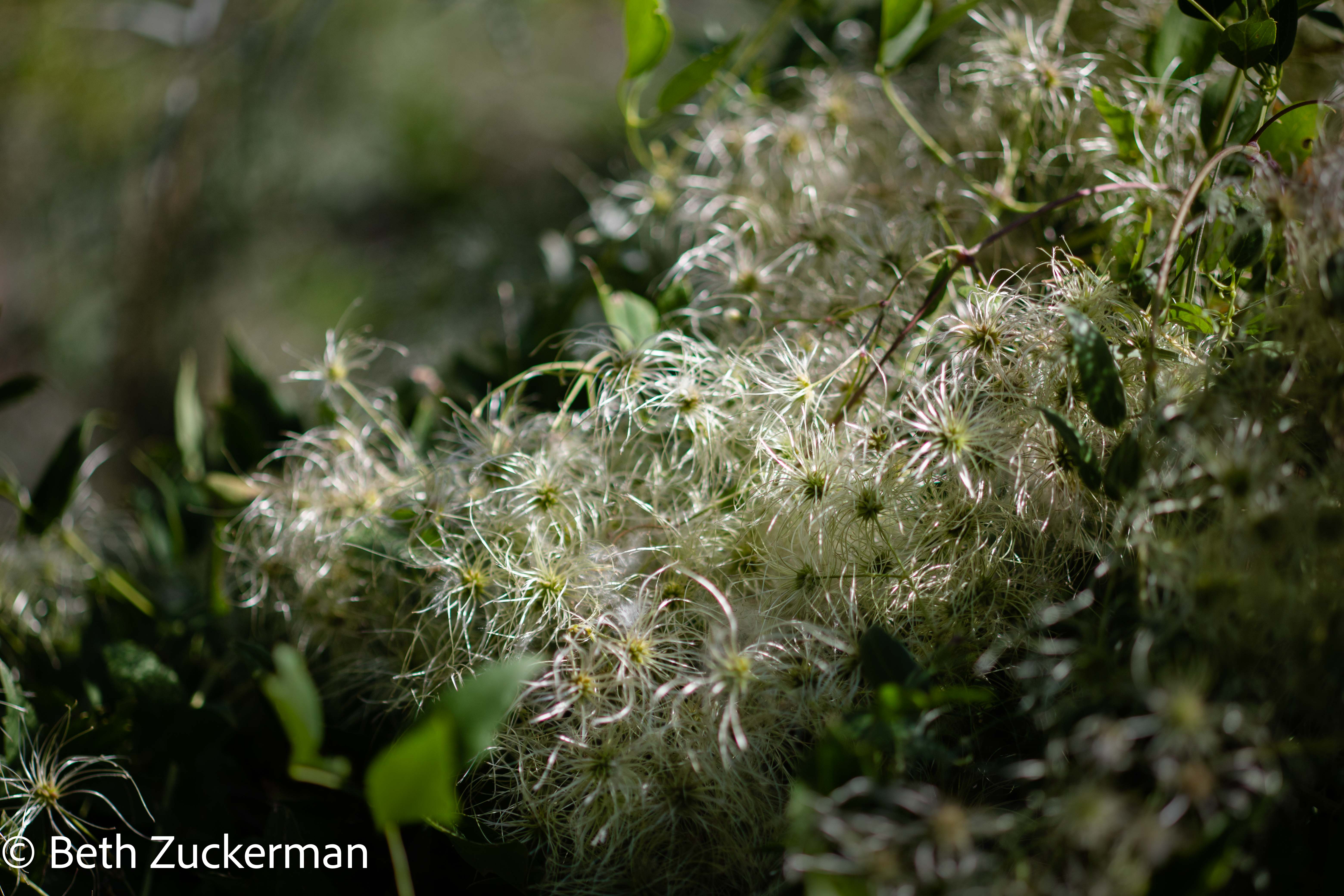
Apparently this is called Western Virgin's Bower.
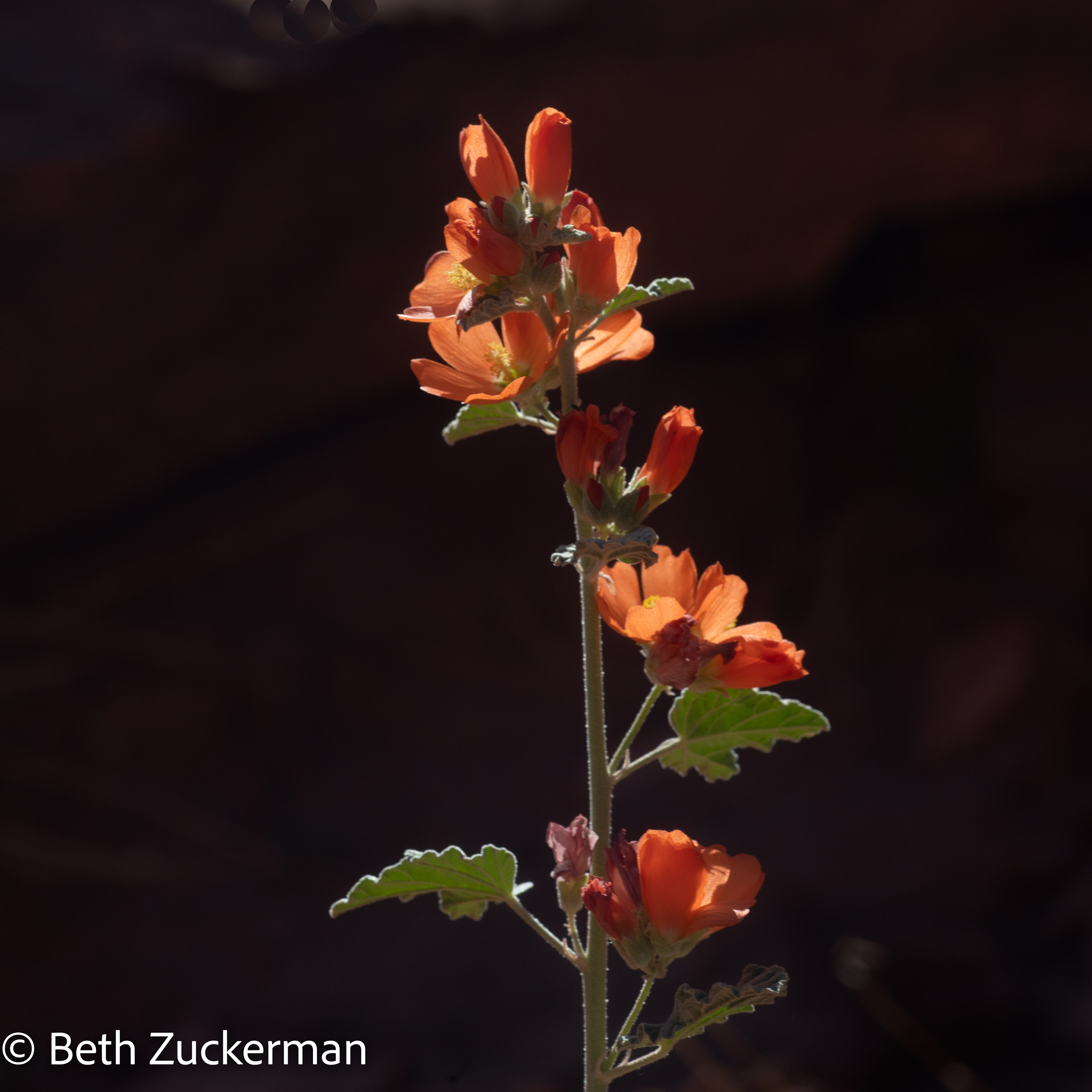
And this is called Small-leaf Globemallow.
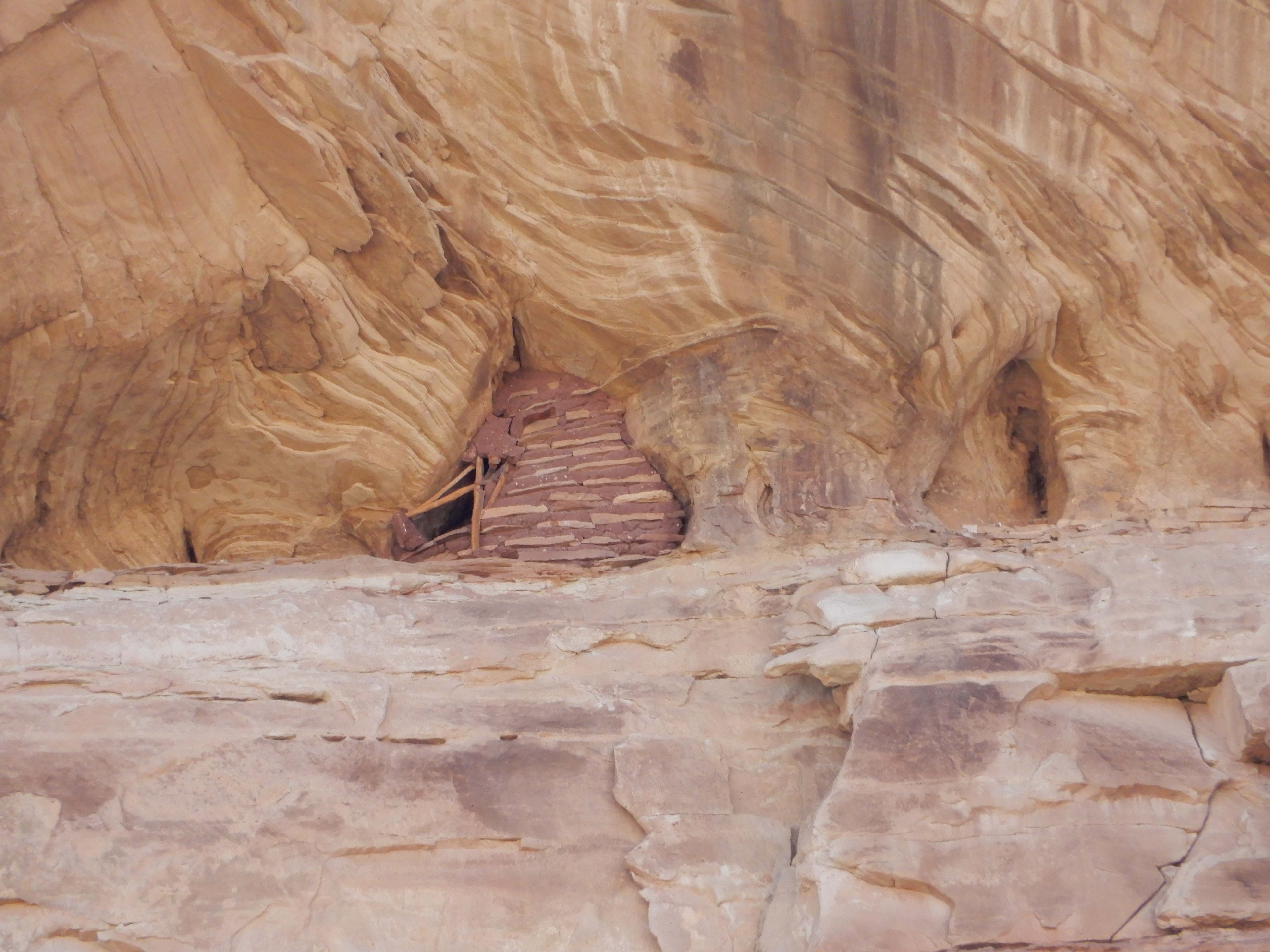
Eric photographed this historic granary, far up on the mountainside. According to the brochure from the Bureau of Land Management, these were built by a people we call Fremont between 700 and 1300 CE.
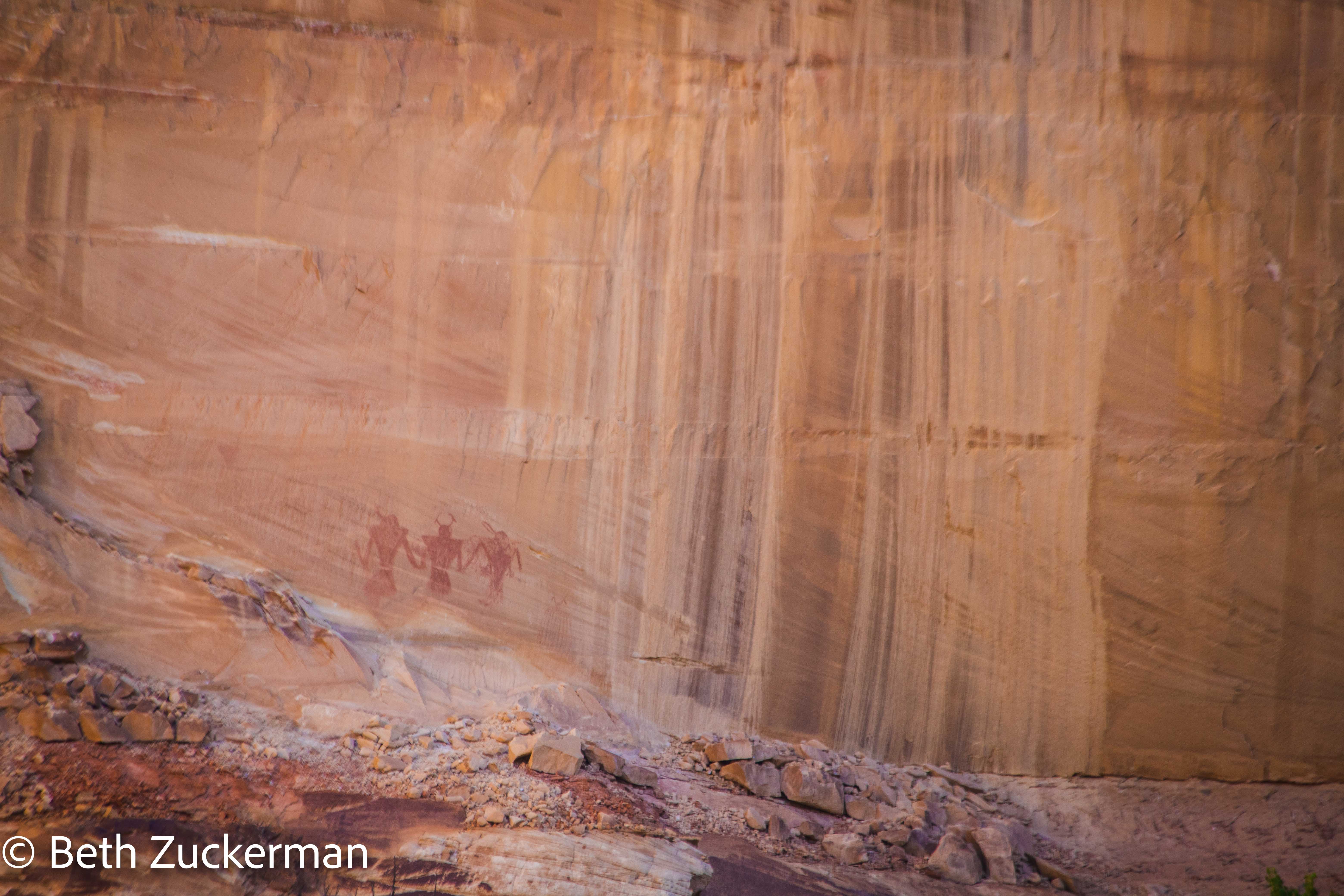
The Fremont people also drew these fascinating pictograms. They must have been very adept at climbing the rock walls. Both the granary and the pictograms are very high up.
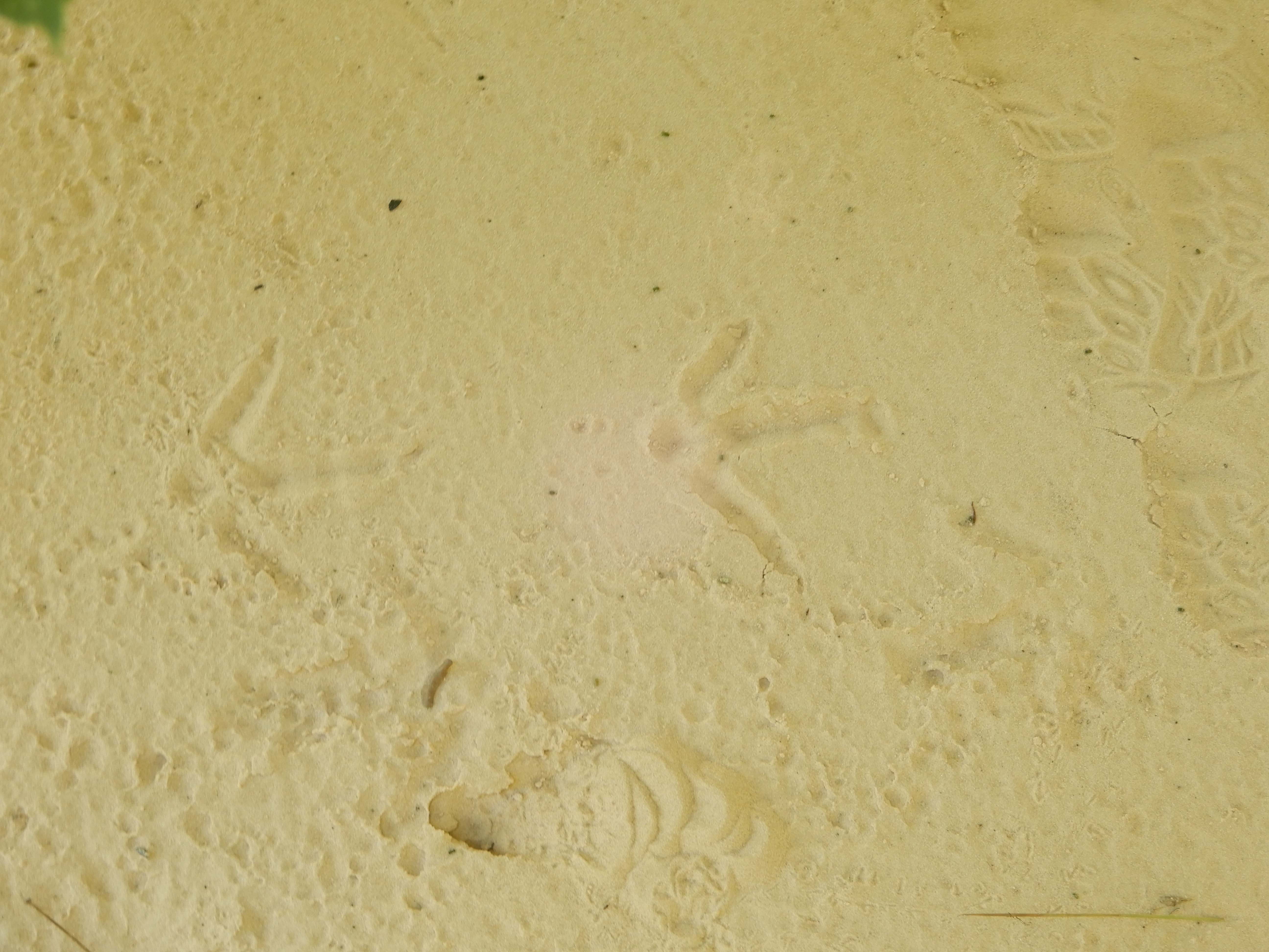
The trail got sandier as we went deeper into the canyon. Eric found these bird tracks in the sand. My guess is wild turkey.
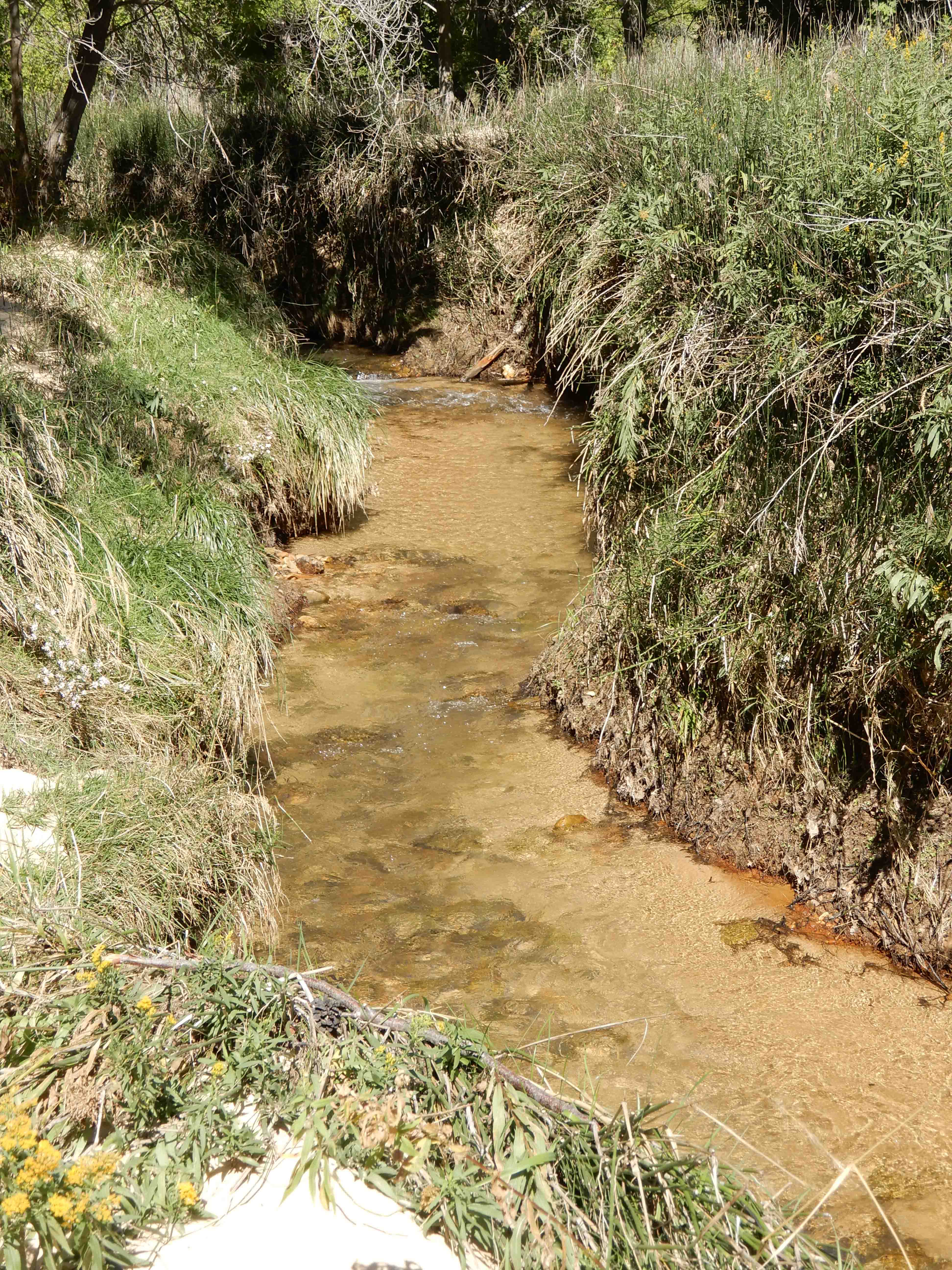
Eric took a picture of the Calf Creek running through the canyon.
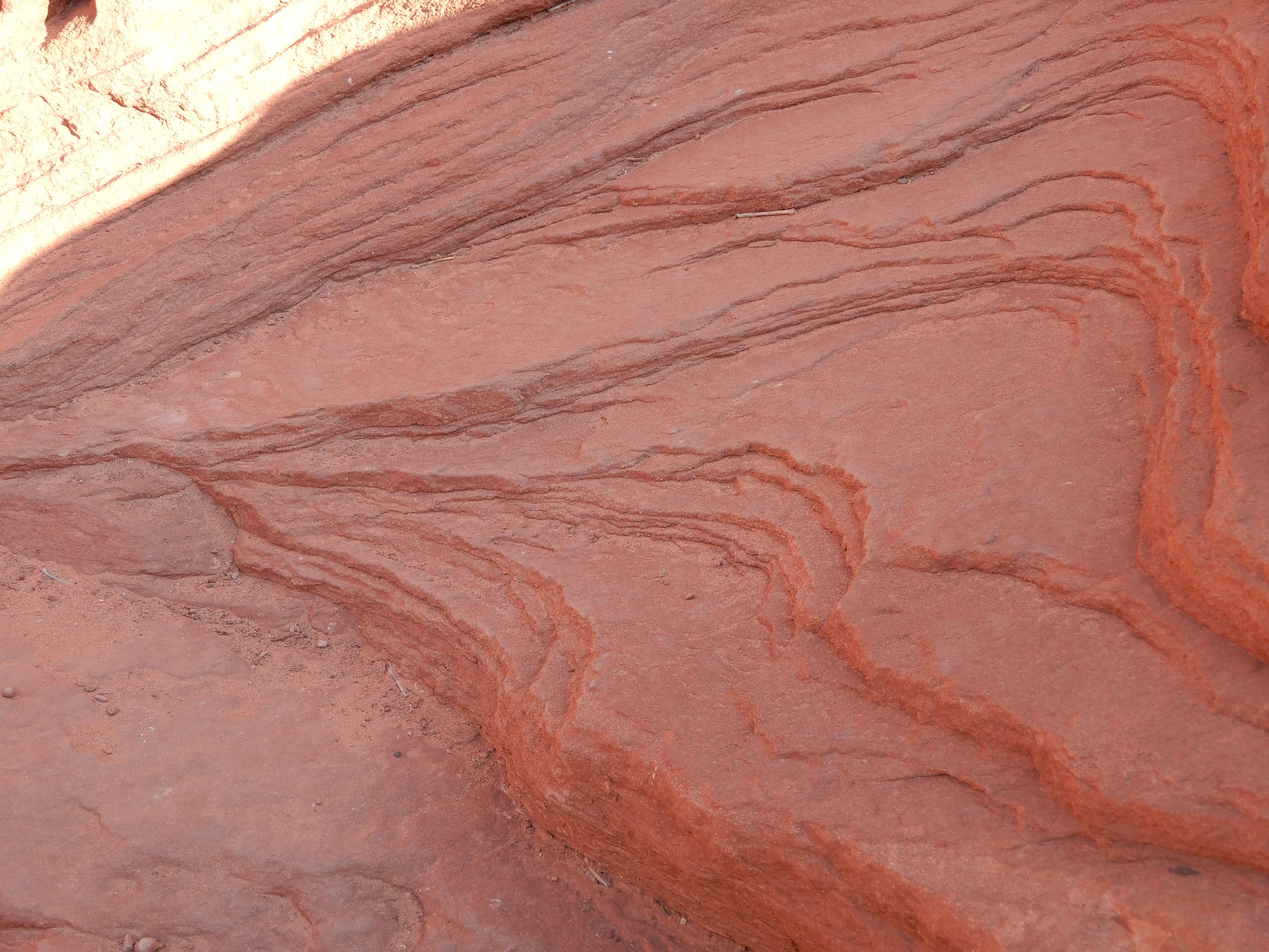
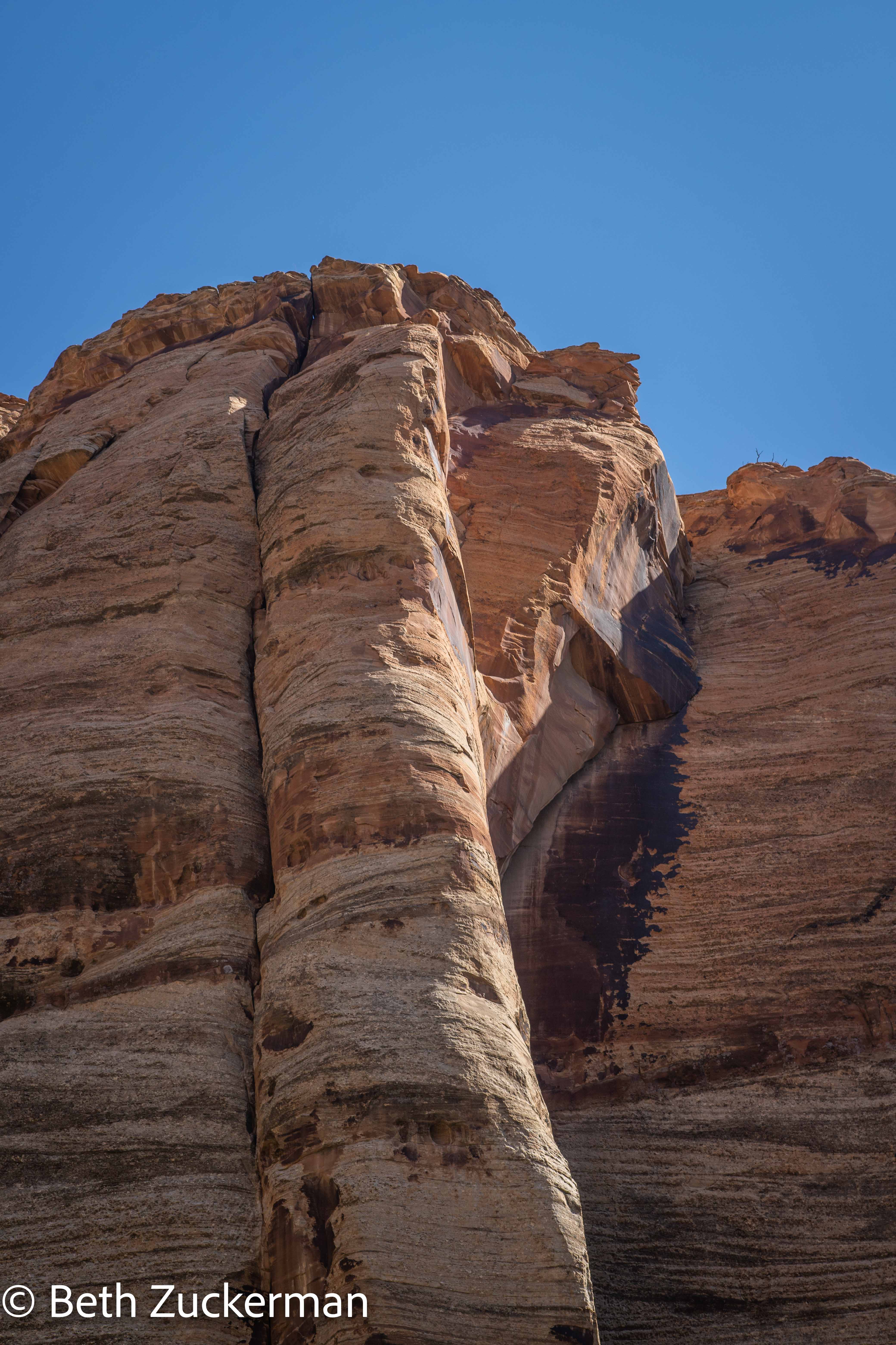
Fascinating layers and patterns in rock.
Falling water makes these stripes on the rock.
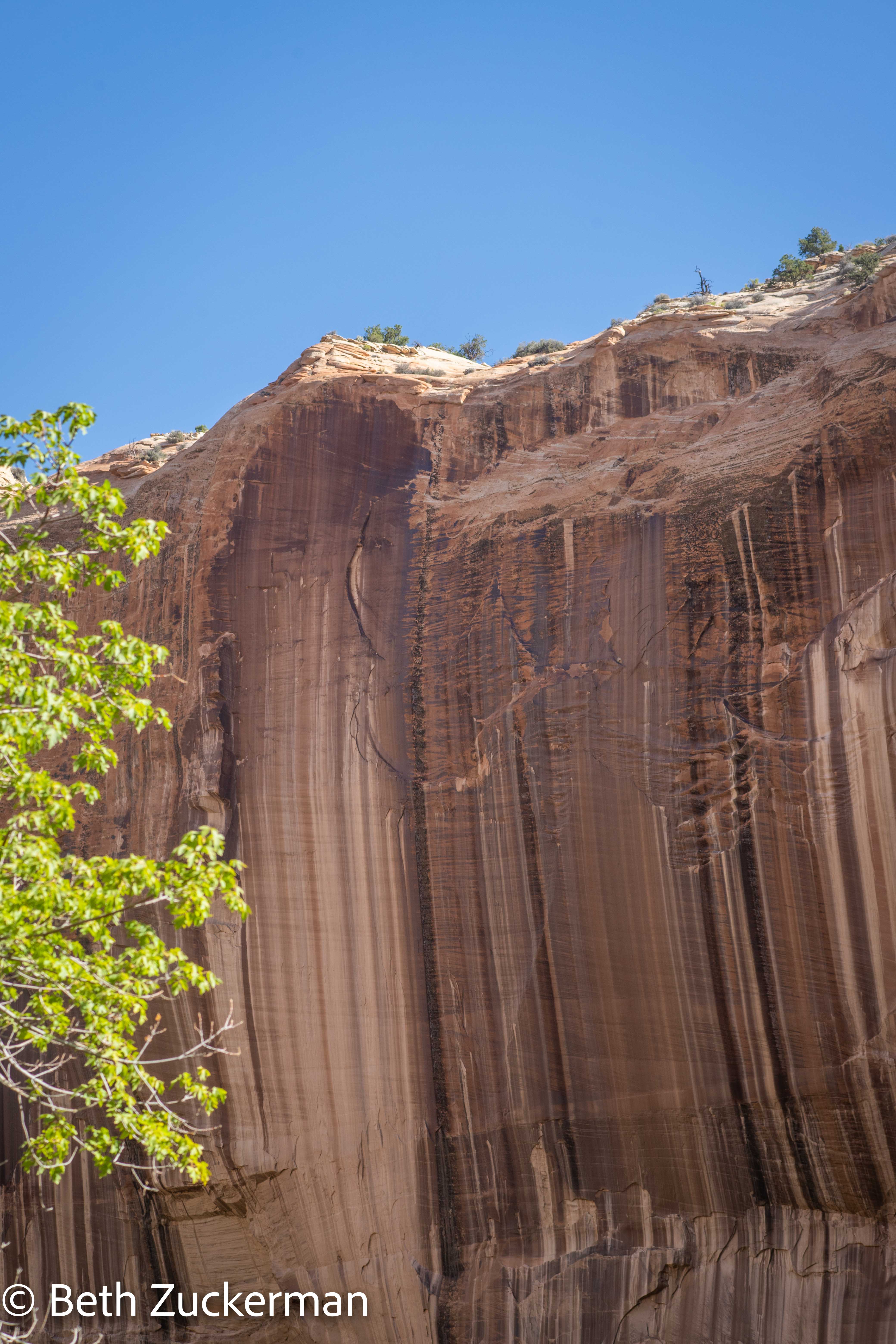
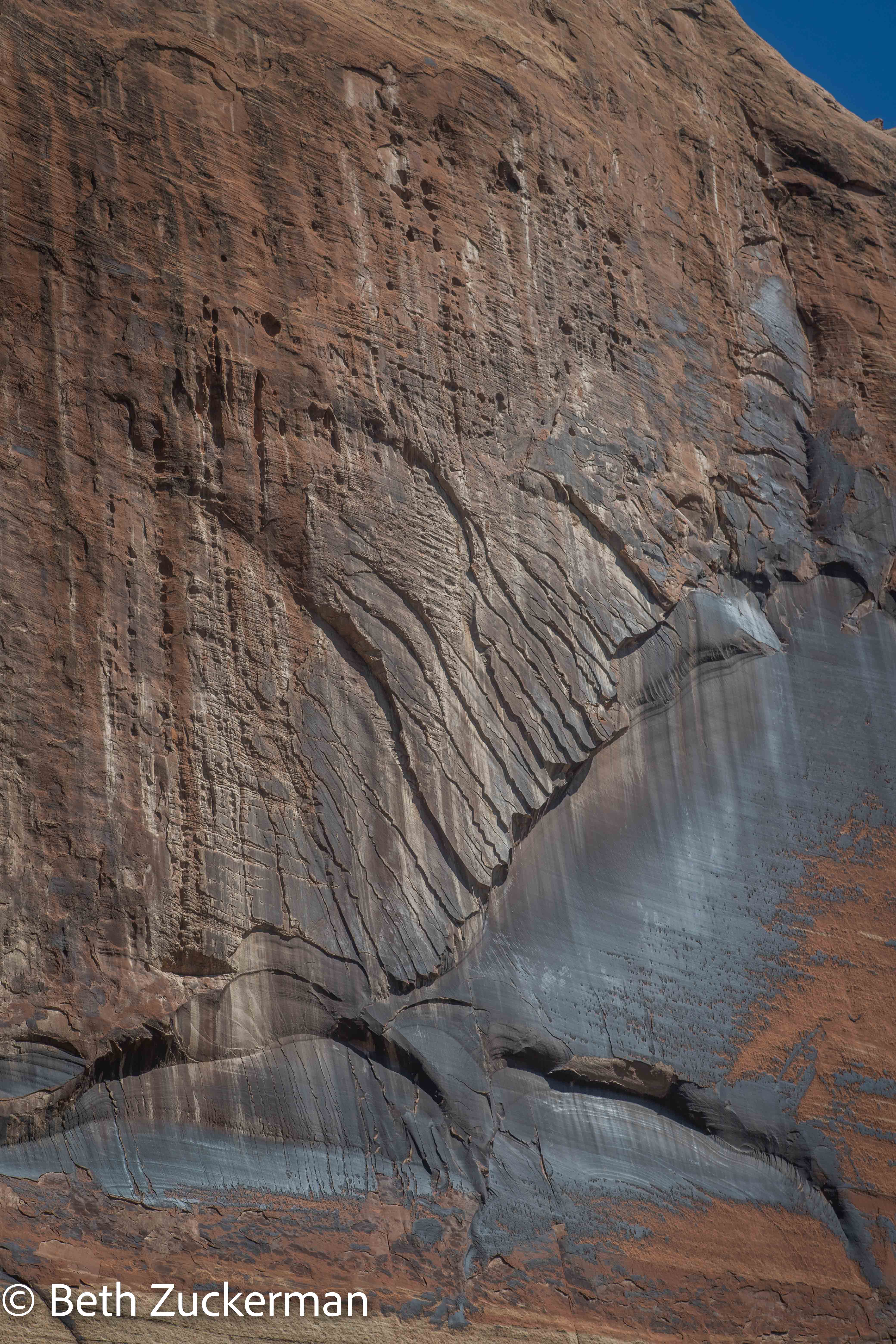
Fascinating patterns in the rock.
These patterns in the rock look almost glacially carved. Some geologists think there was glaciation here, but others do not.
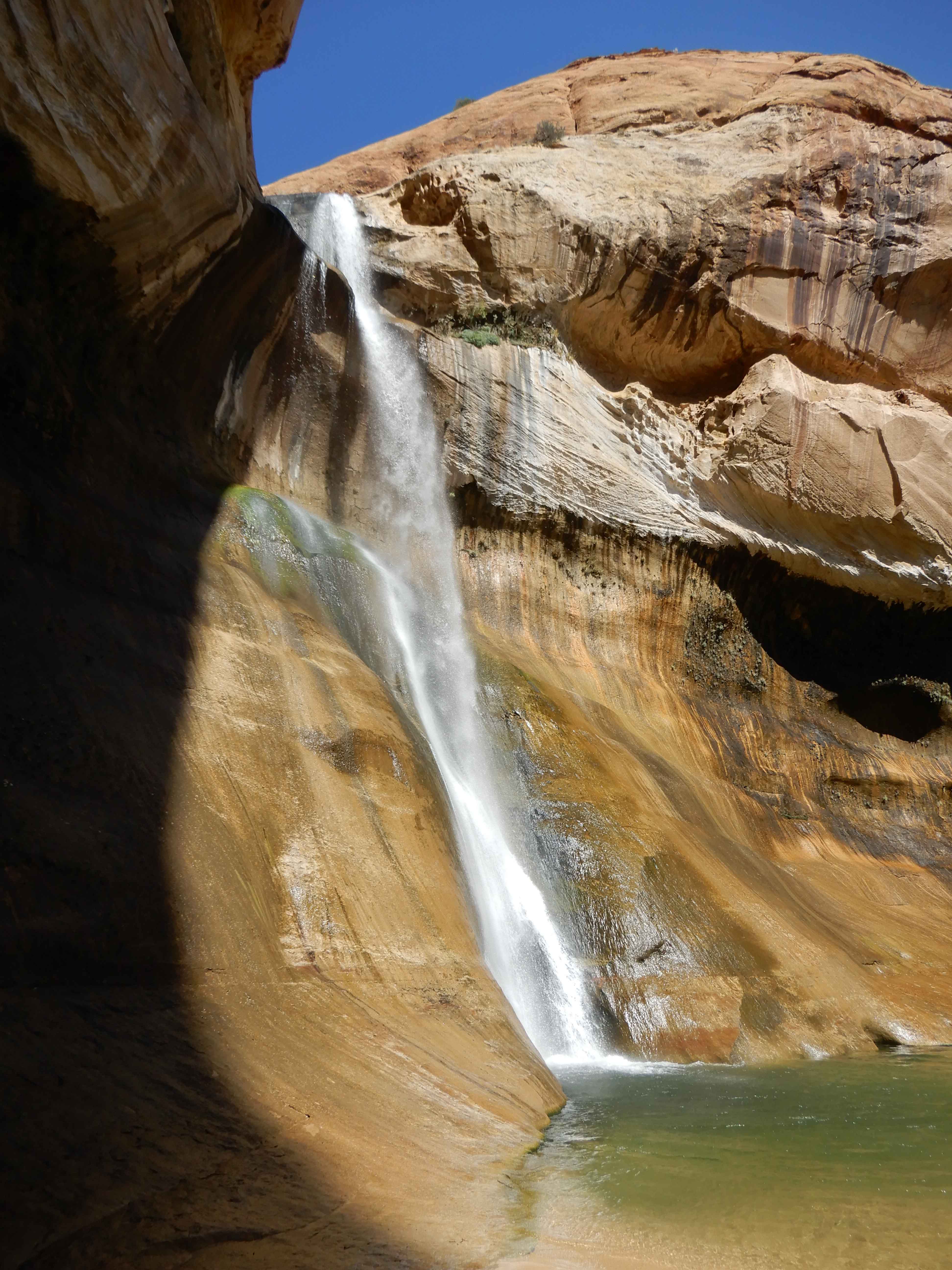
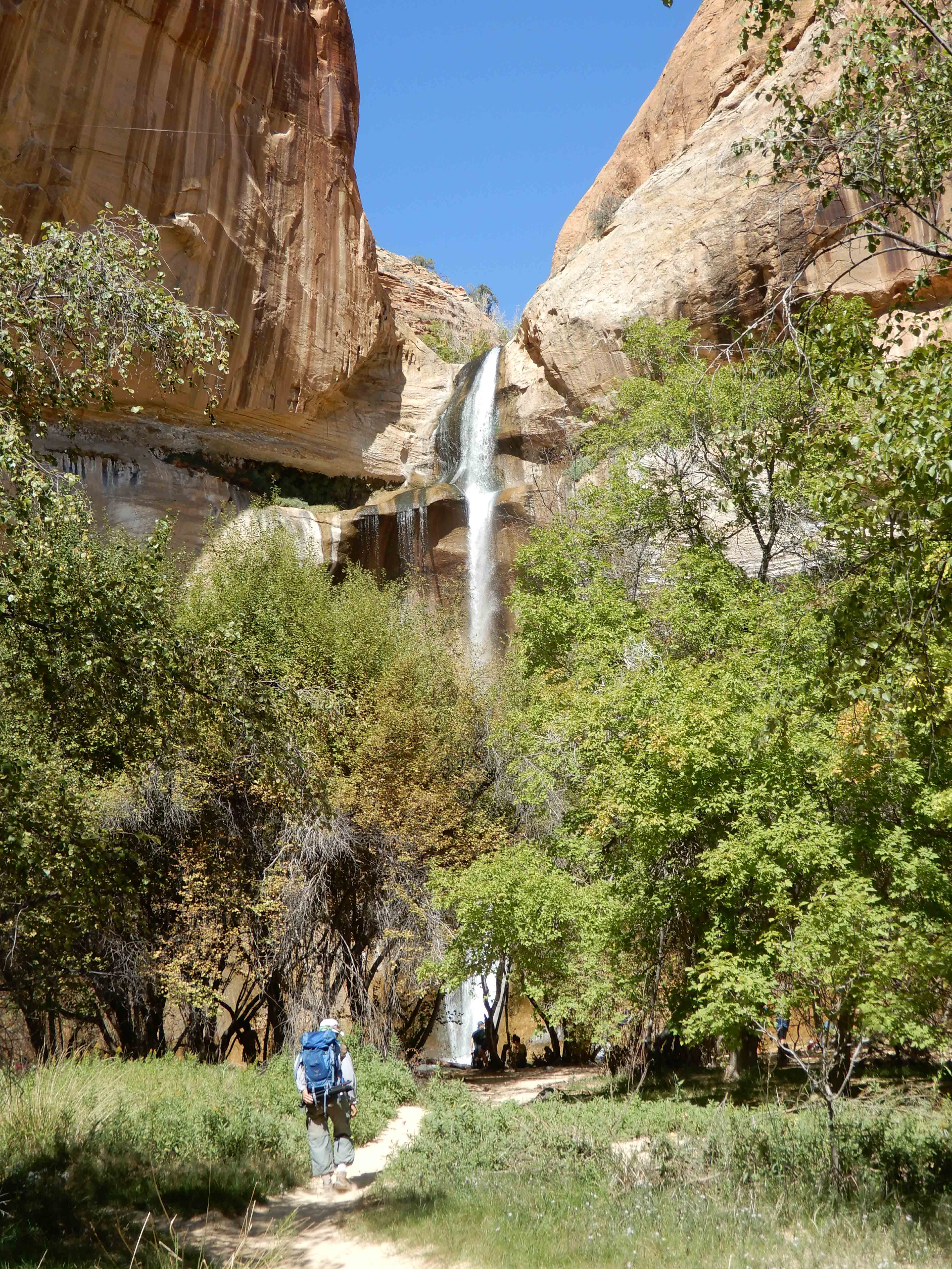
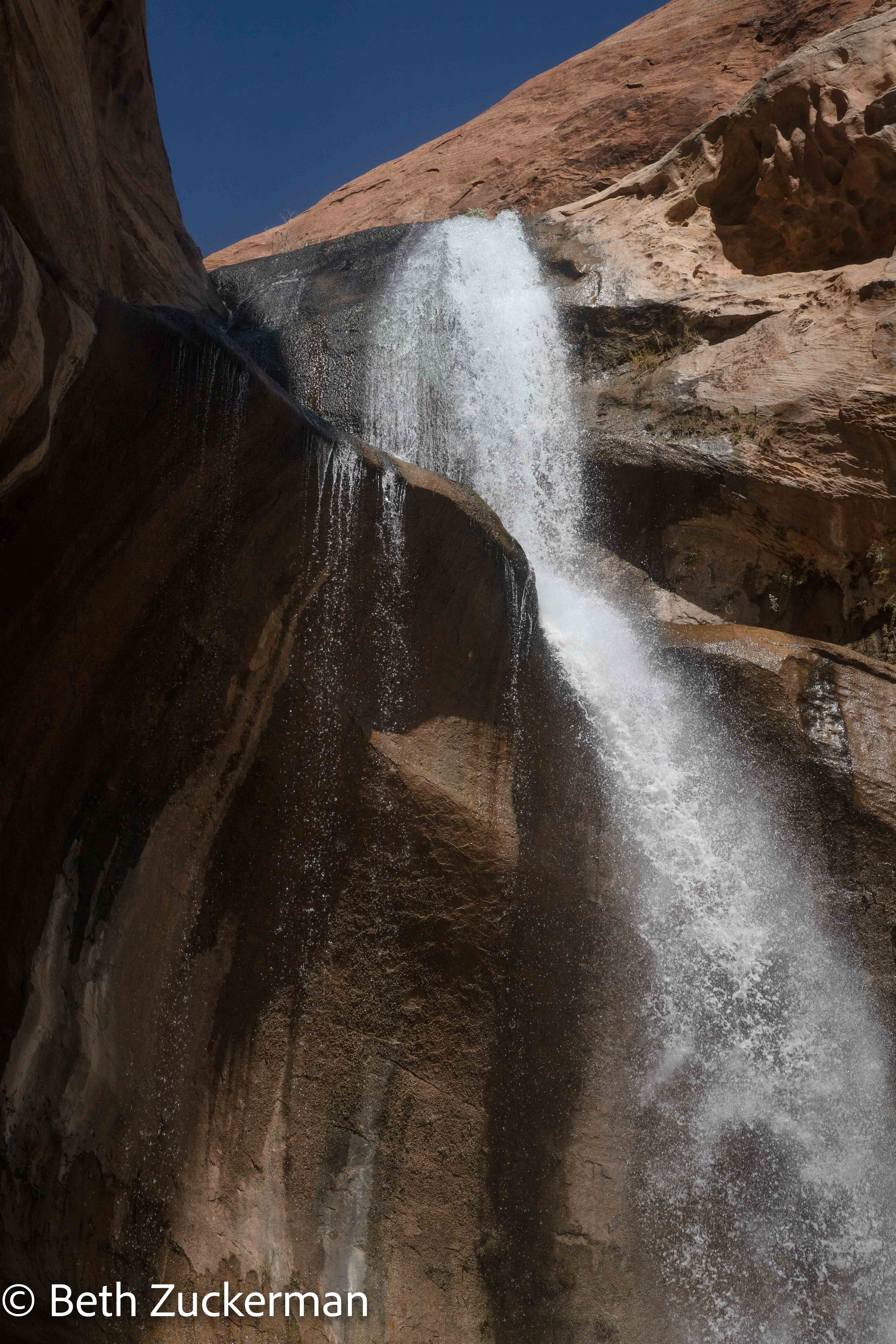
At last, we saw the falls before us! Eric took a picture of me, hiking toward it.
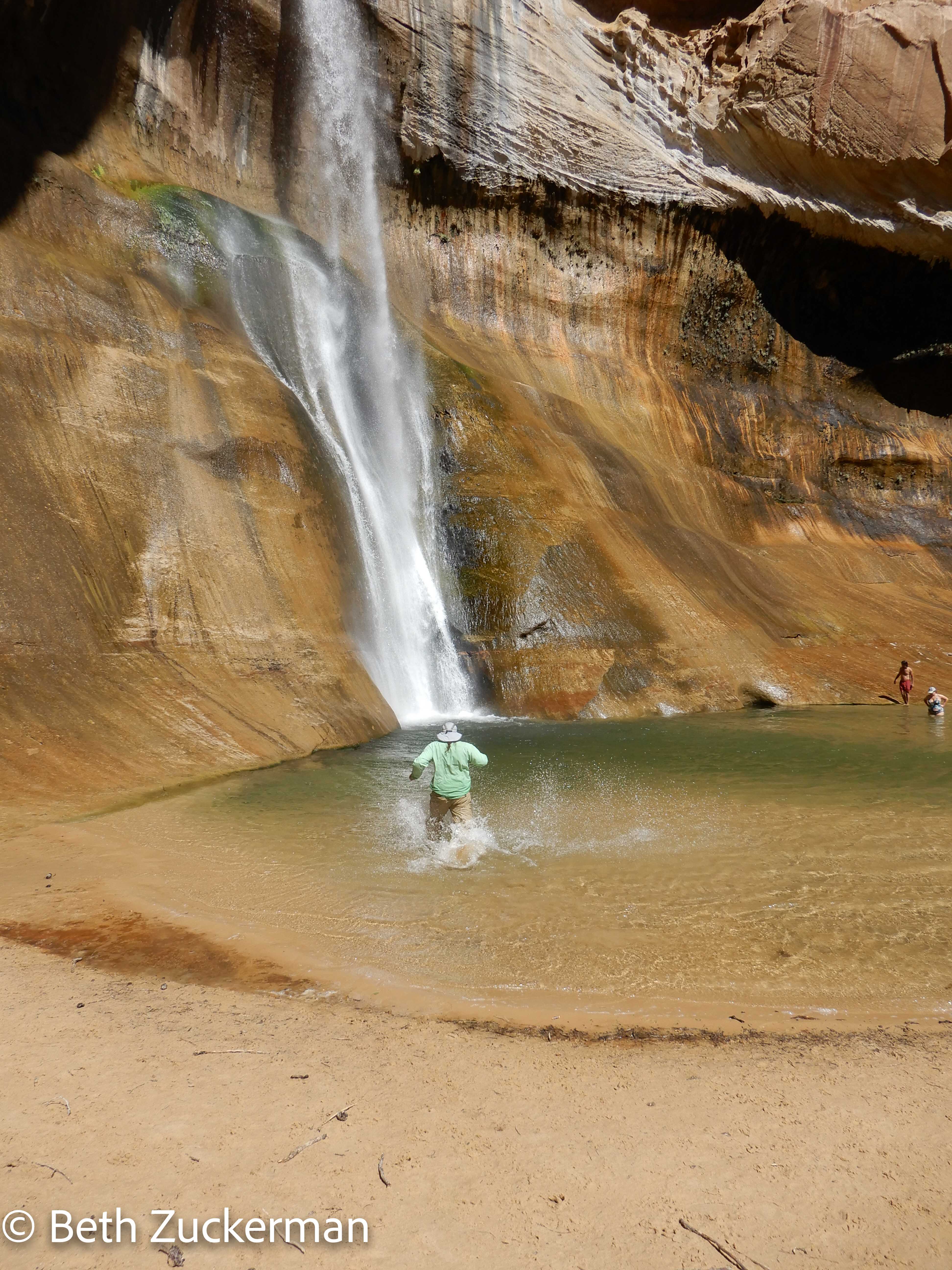
The geocaching listings had told us to bring bathing suits. I was wearing mine under my hiking clothes, but Eric had not wanted to hike in his. There wasn't any good place to change near the falls, so he decided just to enter the water in his technical hiking clothes.
The water was very cold!
He waved back at me from the falls.
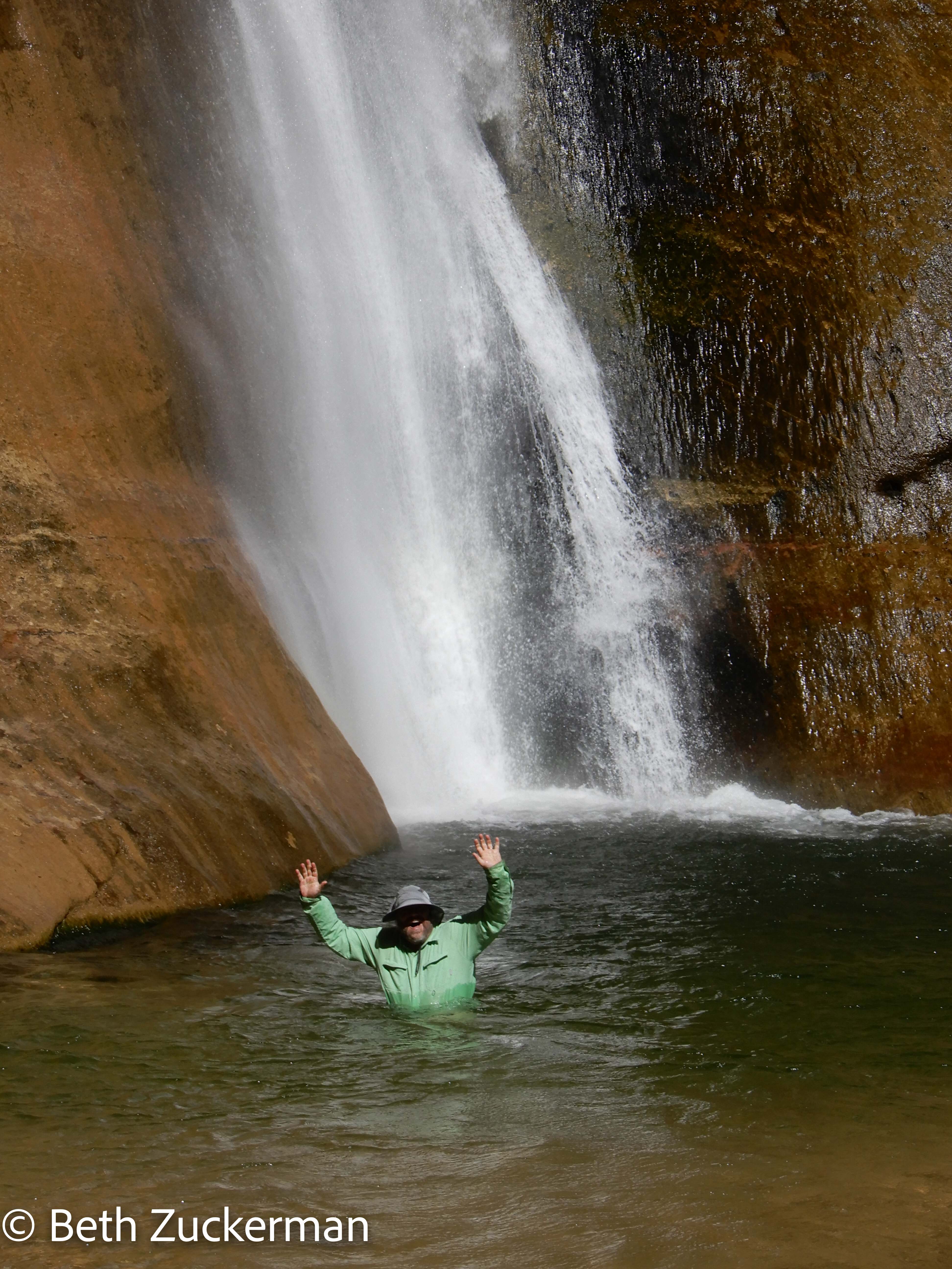
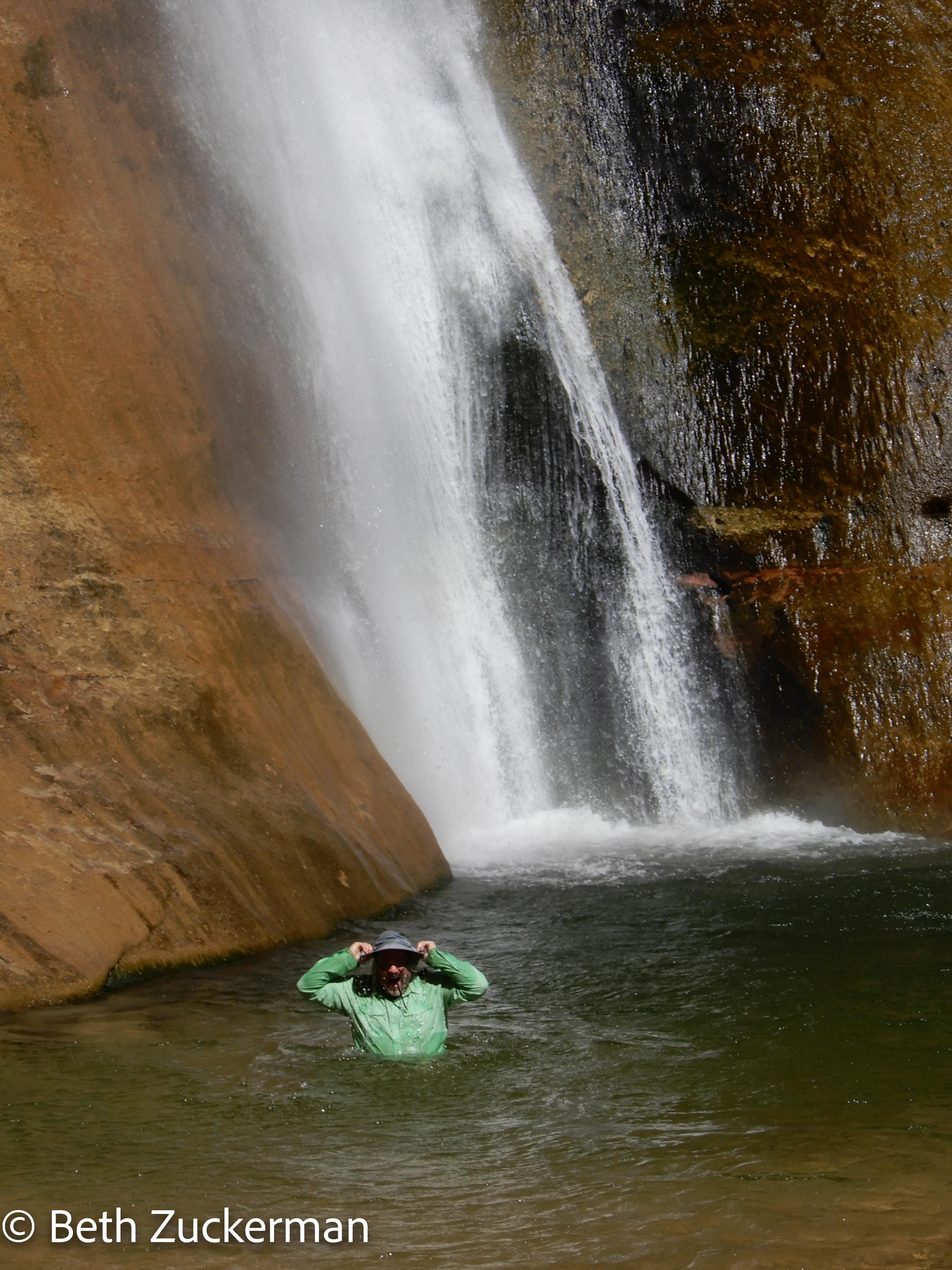
And, to cool off from the desert heat, he filled his hat with the cold water and dumped it back onto his head.
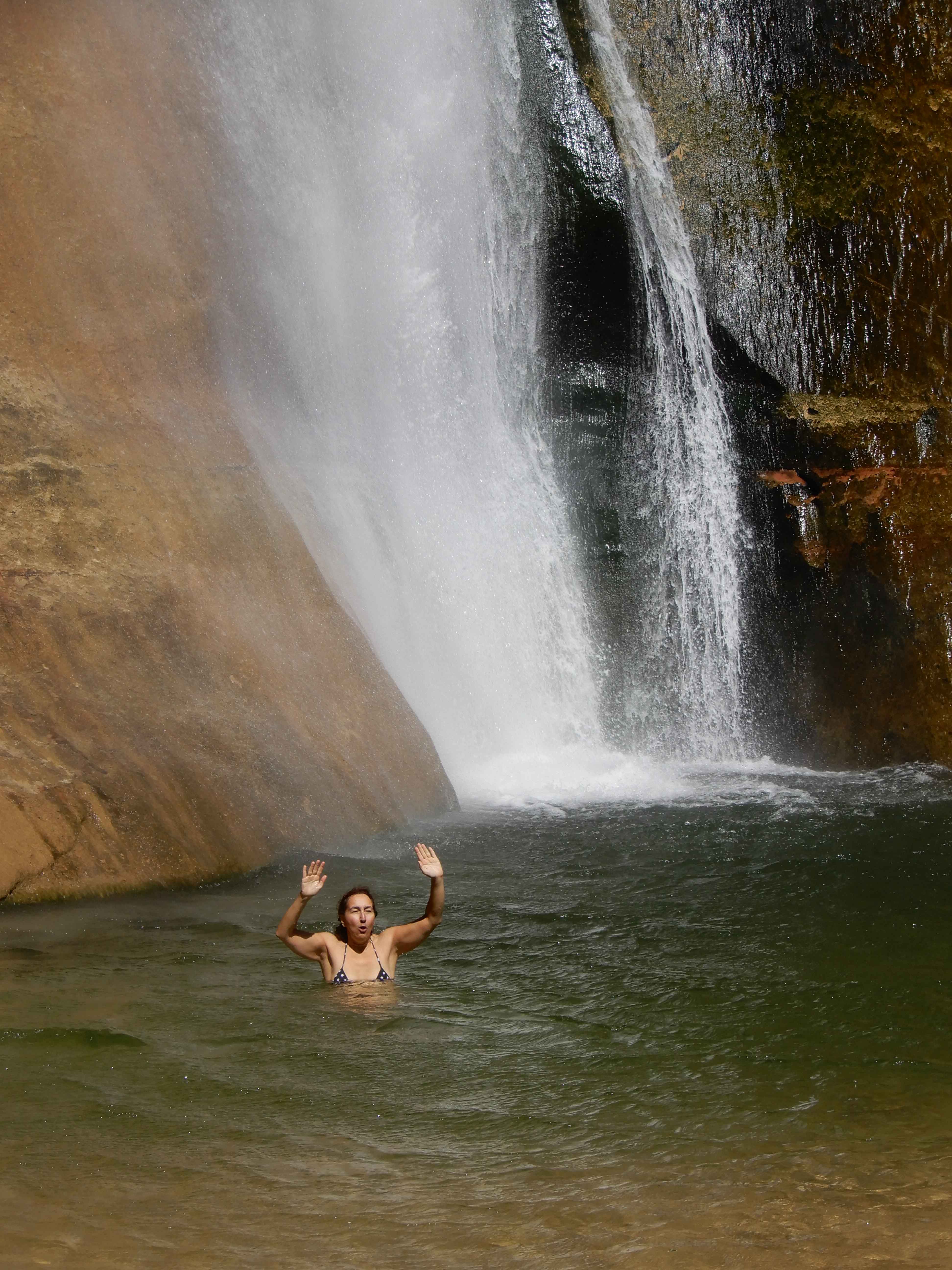
I wanted to swim directly under the falls, as that had felt superb when we did it at Secret Falls on the Wailua River on Kaua'i. I saw a couple of young men do it. But I wasn't strong enough to swim any closer than this. Photo obviously by Eric.
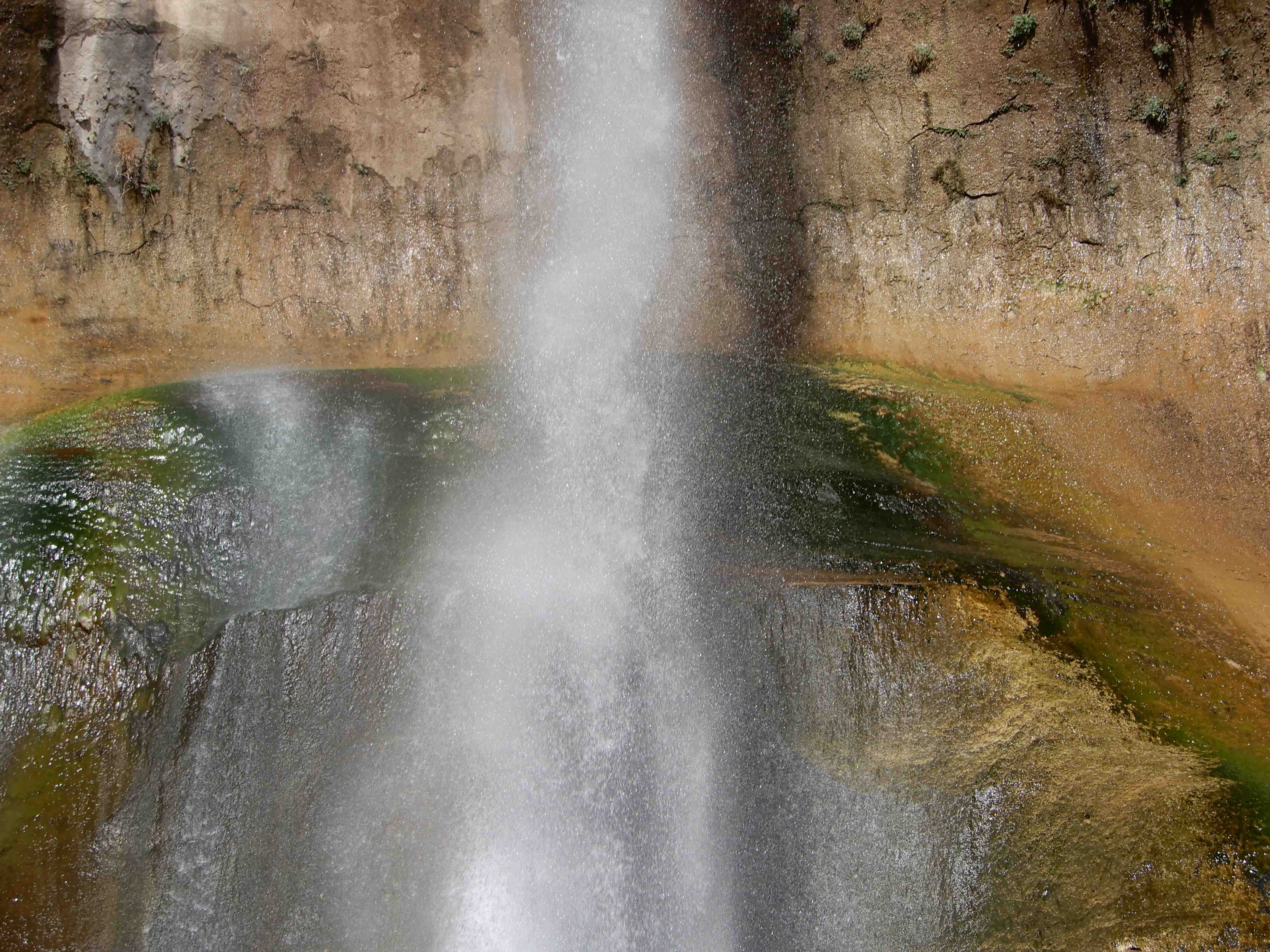
While drying off, we took more pictures of the falls.
Eric took this more abstract shot.
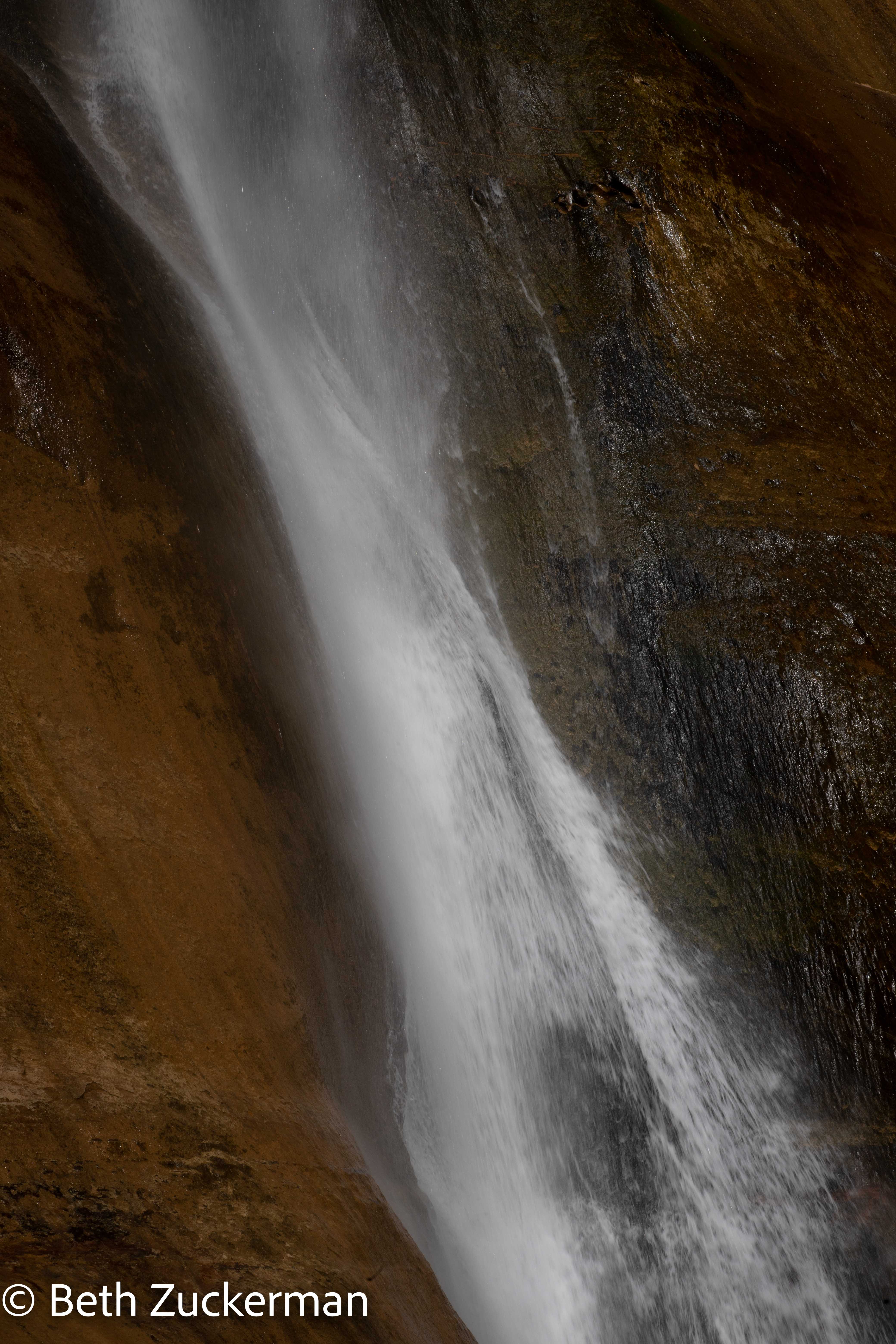
Twisting water.
Well, that was thrilling, and amazing fun. We still had to hike all the way back out of the canyon to Mather. Eric took my picture hiking.
We rewarded ourselves for our all-day hike with the first of our two dinners at Hell's Backbone Grill--see the main page on Grand Staircase Escalante for the details on this. It was a thoroughly satisfying day.
Distance hiked: 13 km/8 mi
Distance driven: 42 km/26 mi, cumulatively 1,725 km/1,072 mi
Caches found: 2, cumulatively 8
On to Burr Trail Road.