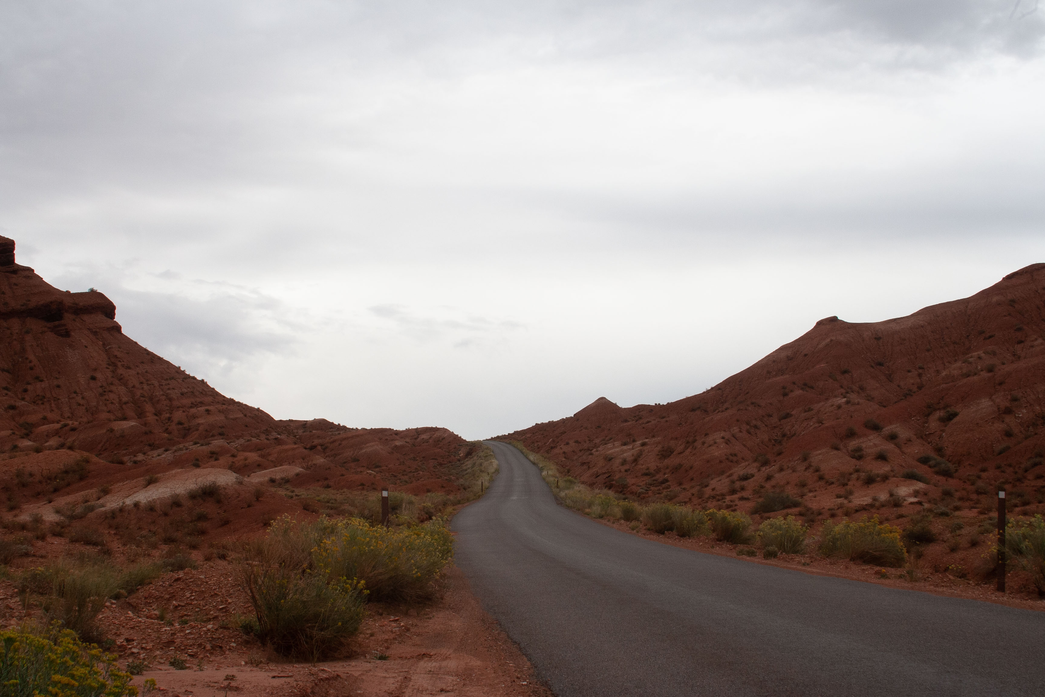
Scenic Drive
Saturday 18 September, 2021
Scenic Drive formation. I can't tell you exactly what it is, because I couldn't go inside the Visitor Center to buy the guidebook. I am fairly sure it was on the side road through Grand Wash.
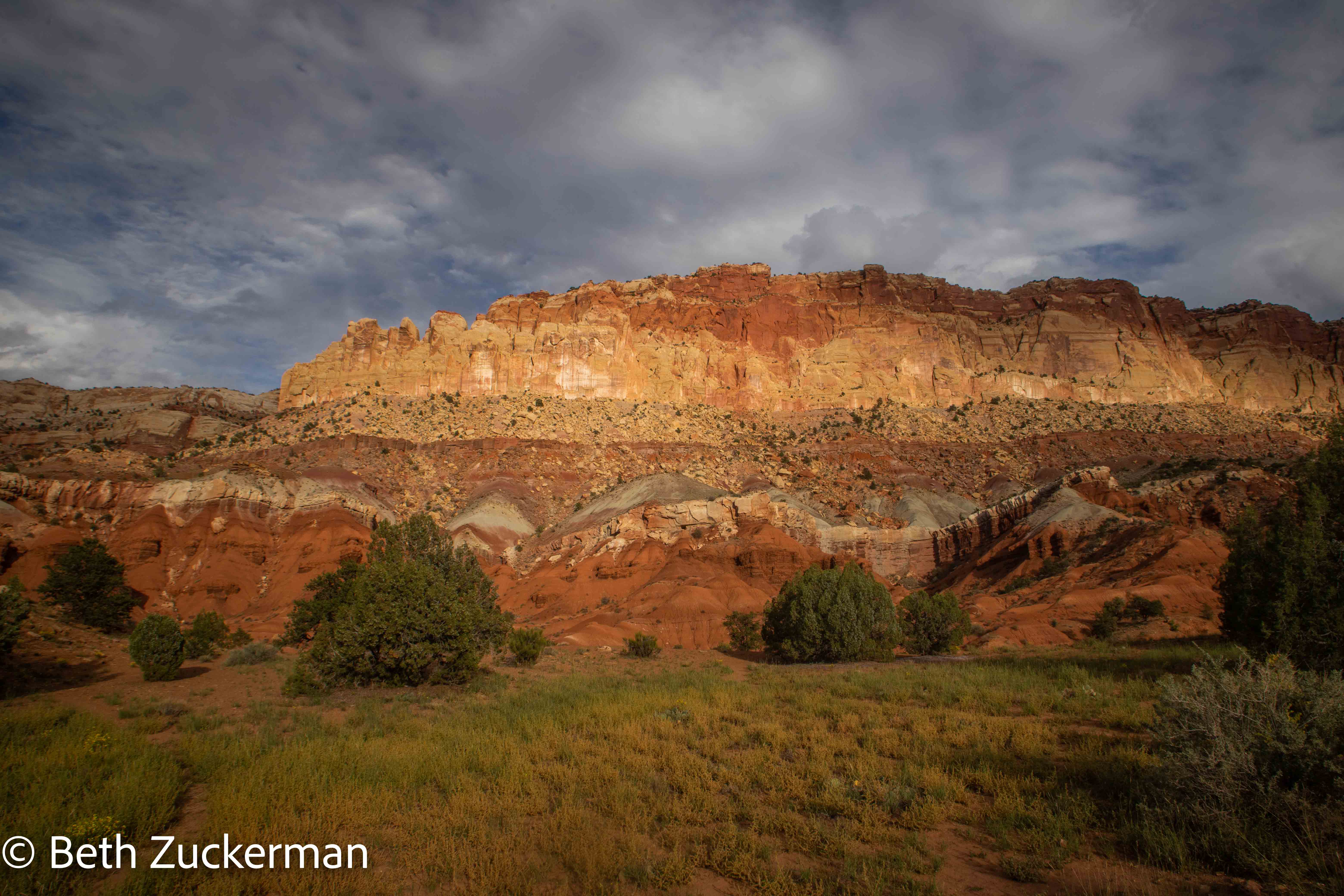
The Scenic Drive heads out from UT 24 at the Visitor Center, taking you first through Mormon pioneer settlements (and fruit picking orchards?!) into incredible canyons.
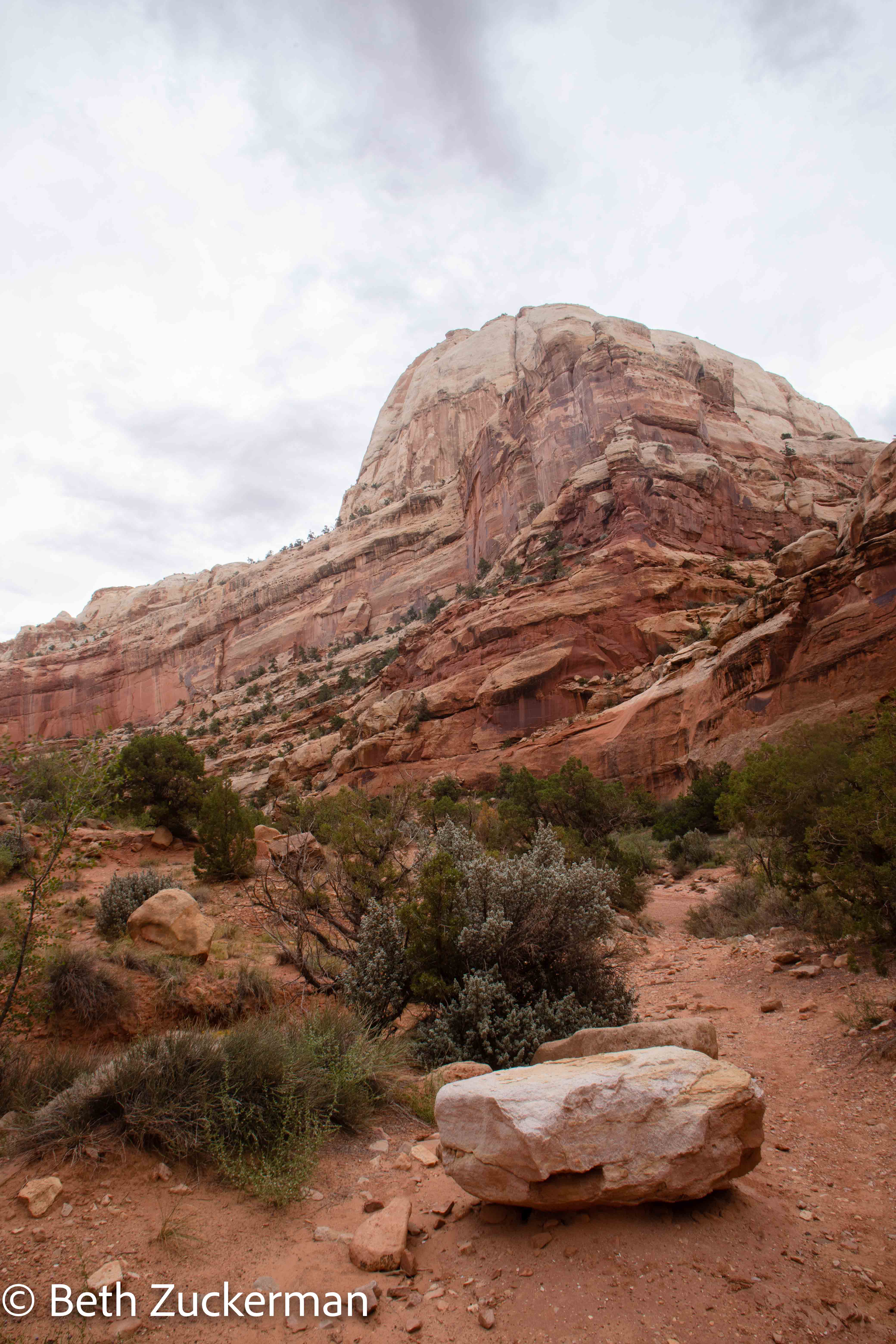
The road was full of amazing formations like this.
Eric took a picture of this unusual road.
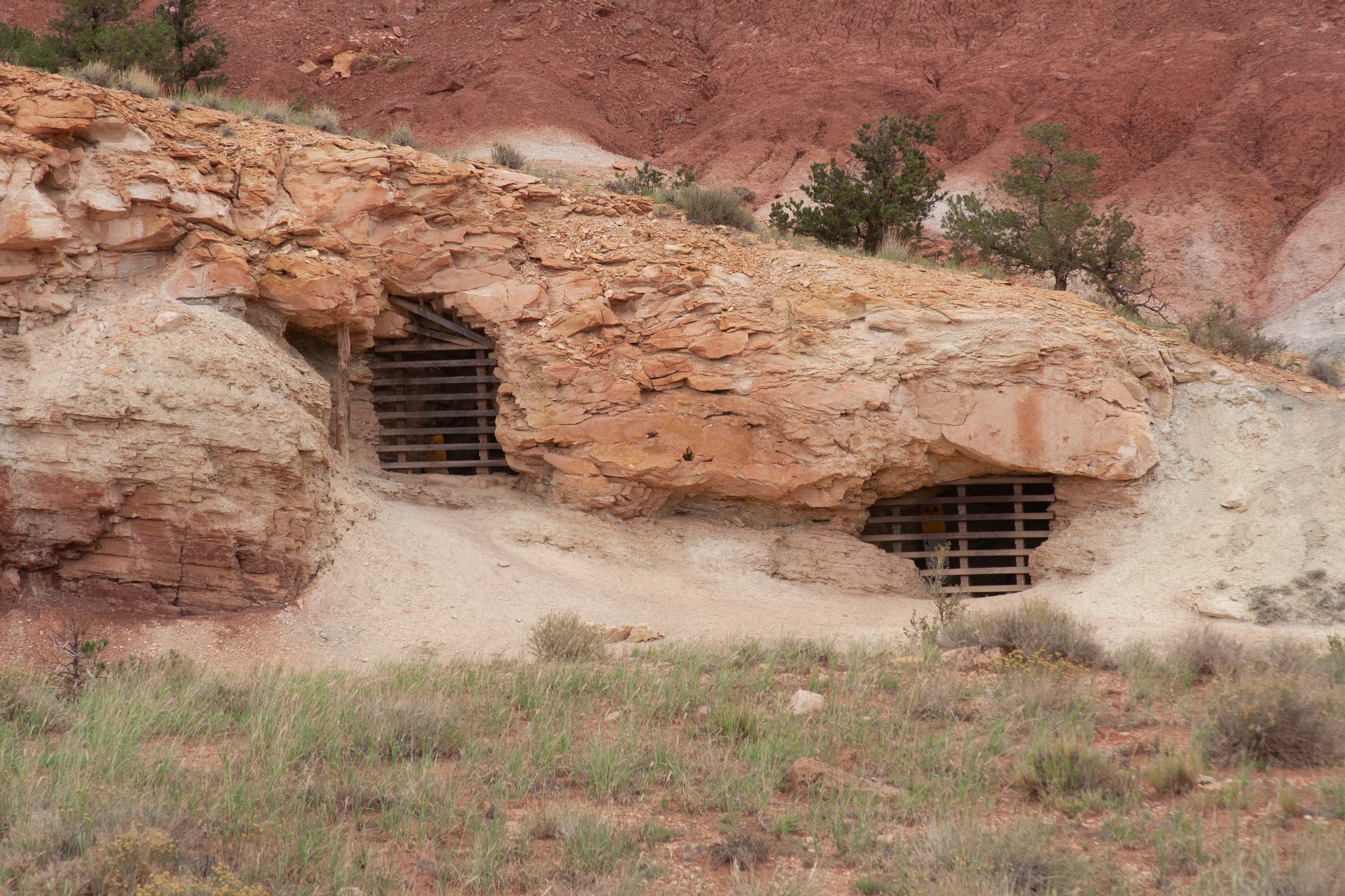
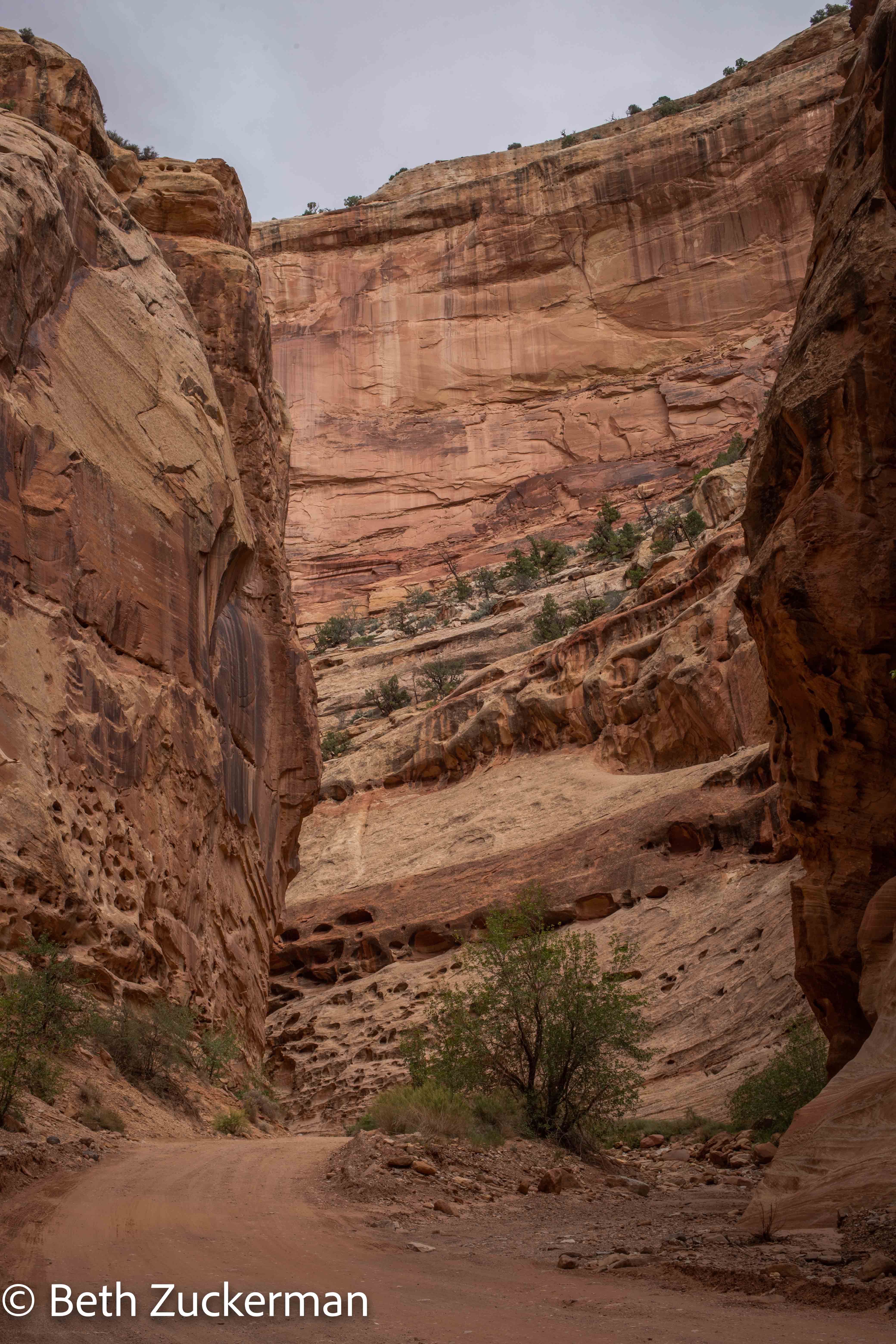
Feature at the entrance to Grand Wash.
Unfortunately, as you can see in Eric's photo, this beautiful feature was irrevocably damaged in the 1950's, while it was federally protected land, when the government allowed mining interests to dig here for uranium. According to the National Park Service's information sign at the site, at the time, uranium was thought to be safe, and even touted as a remedy for rheumatic illness! The sign asks us whether the extraction of uranium was worth ruining the beauty of the mountain. Unfortunately, we continue to deal with these issues today.
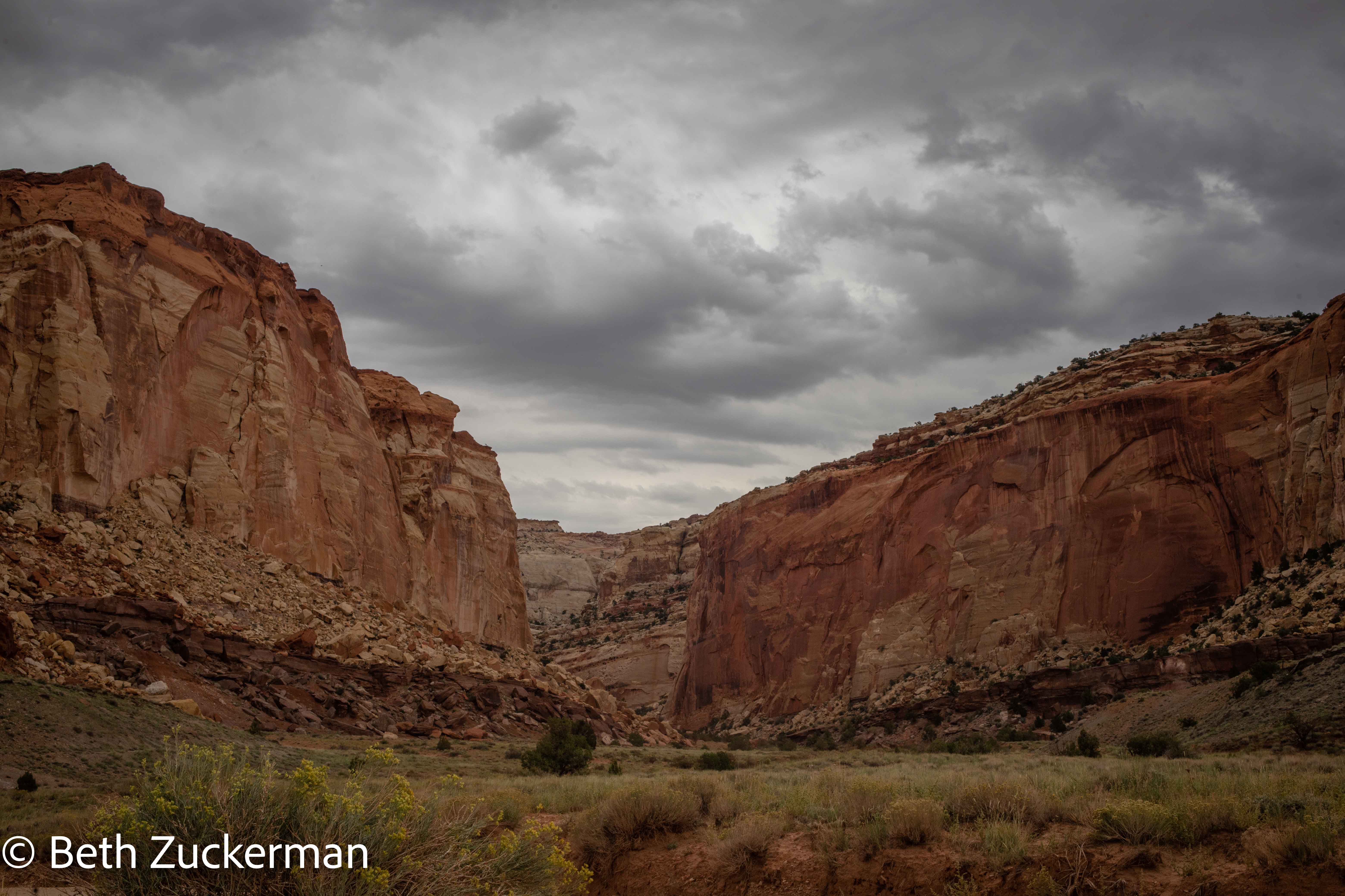
Dramatic Grand Wash.
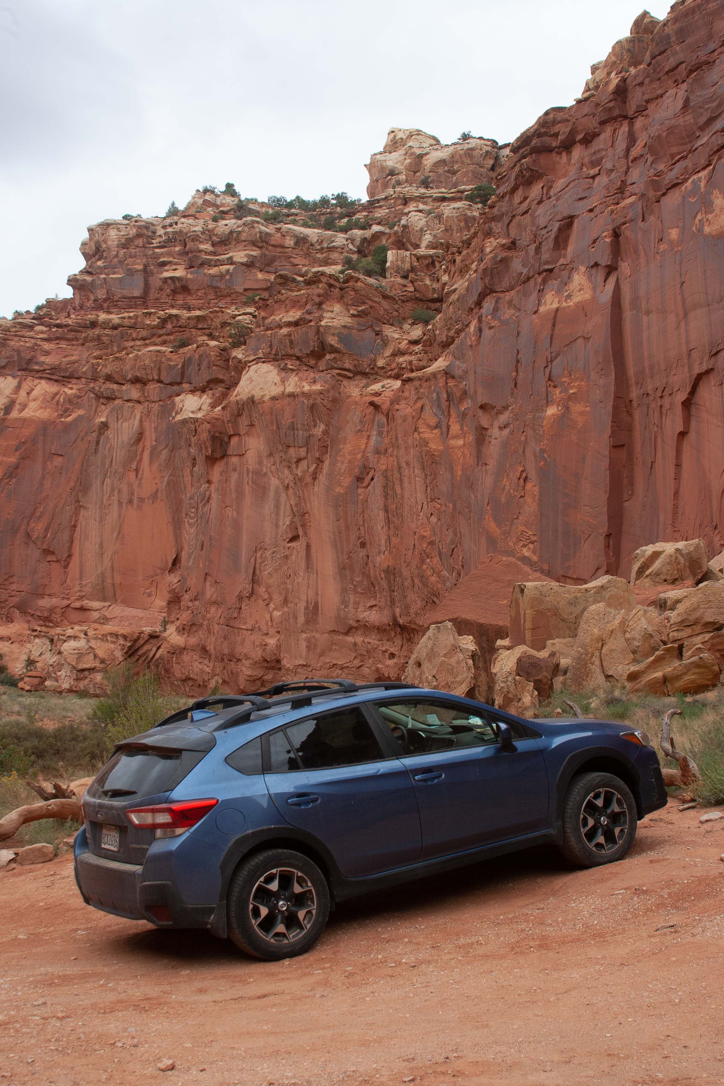
Eric took another "Subaru commercial" photo in Grand Wash.
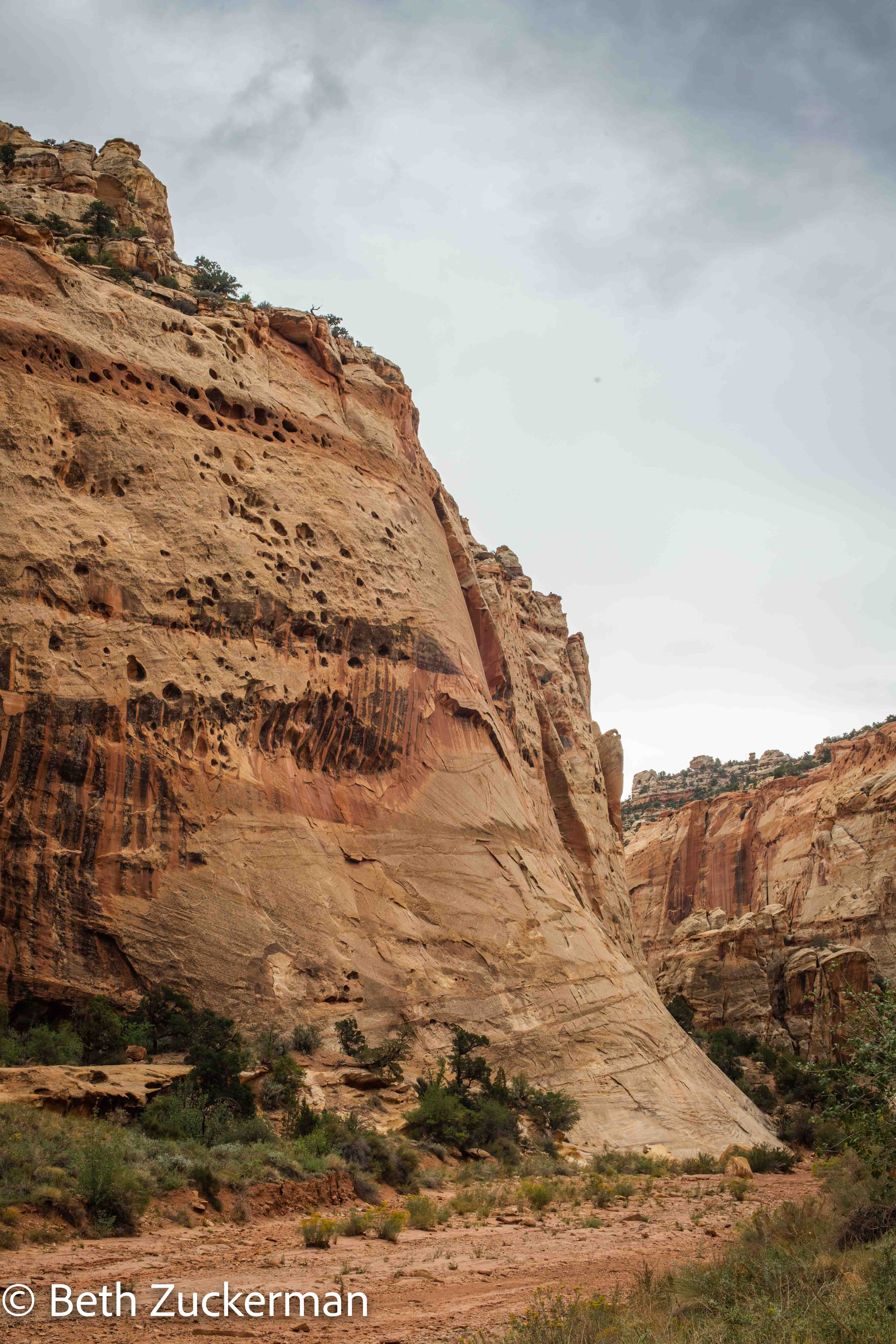
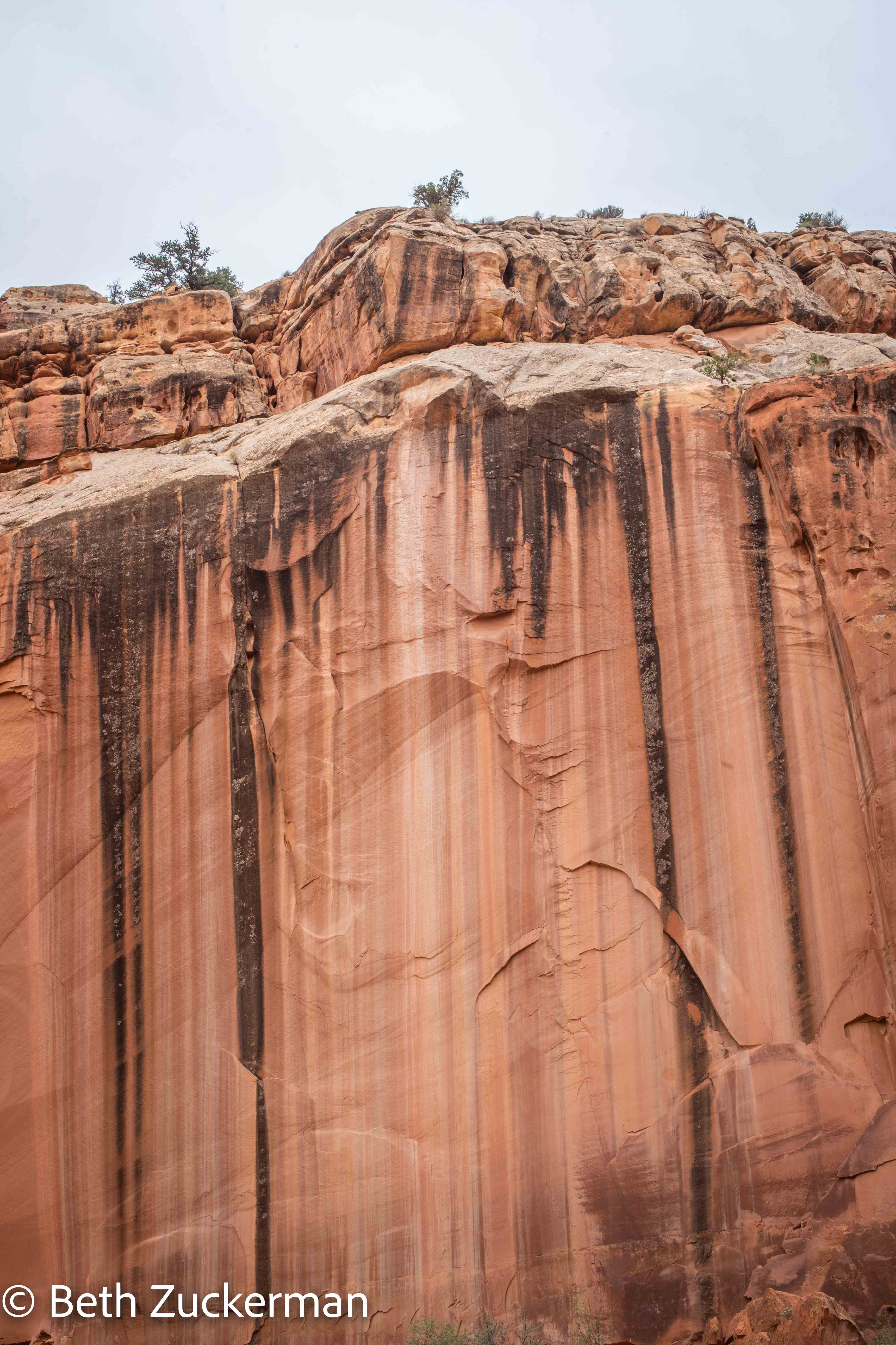
Beautiful rock wall.
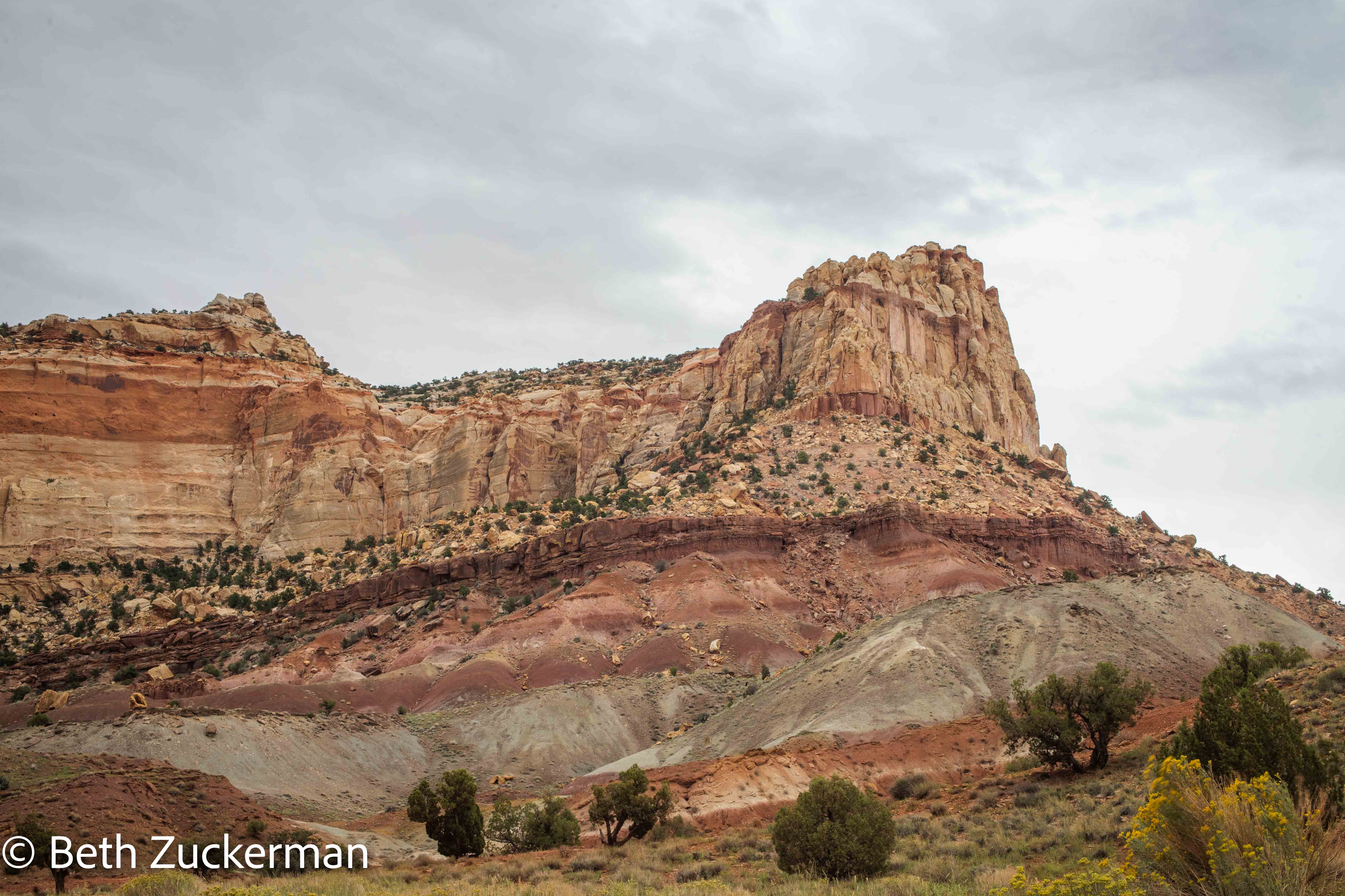
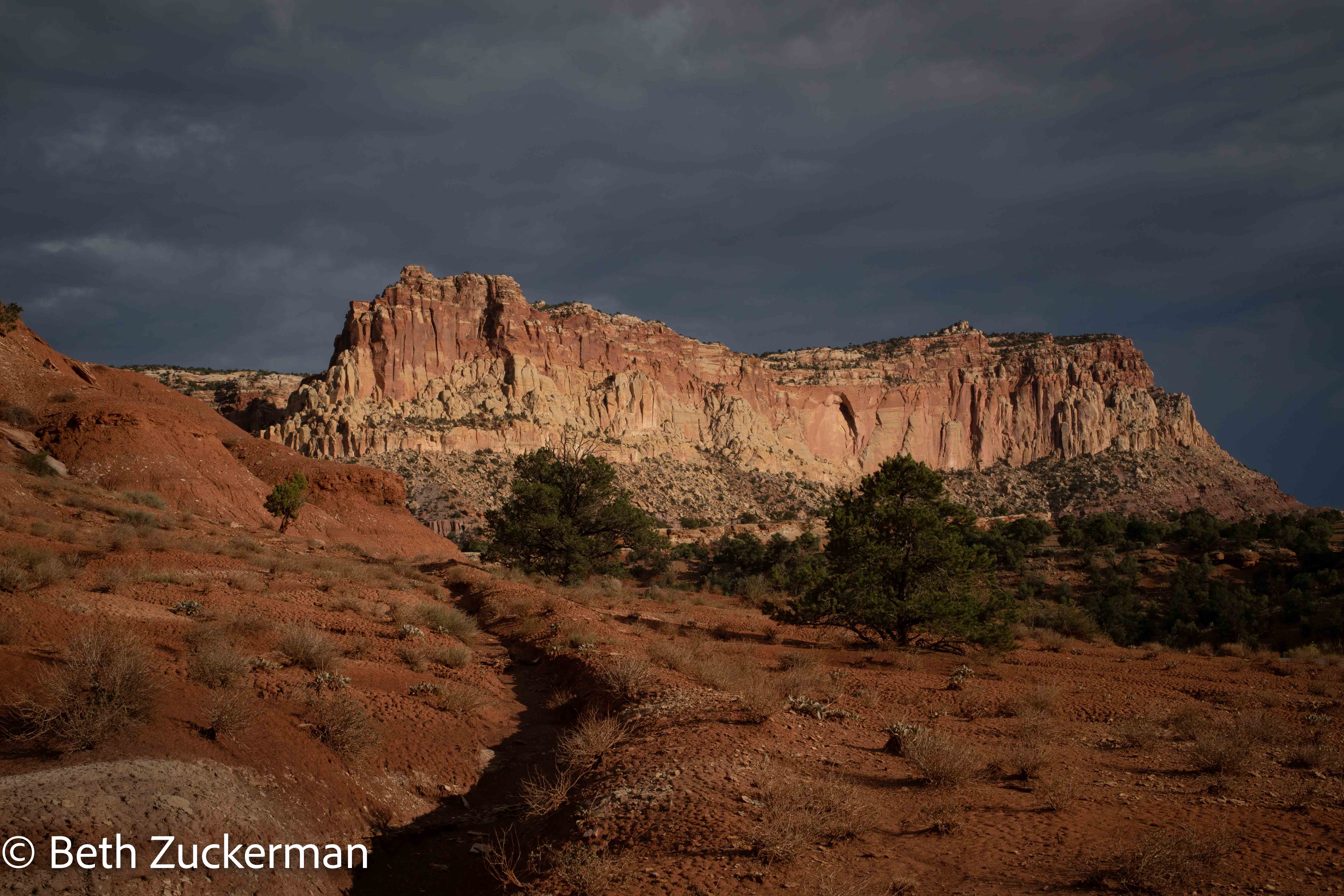
Capitol Reef's lovely features.
Lovely evidence of water erosion.
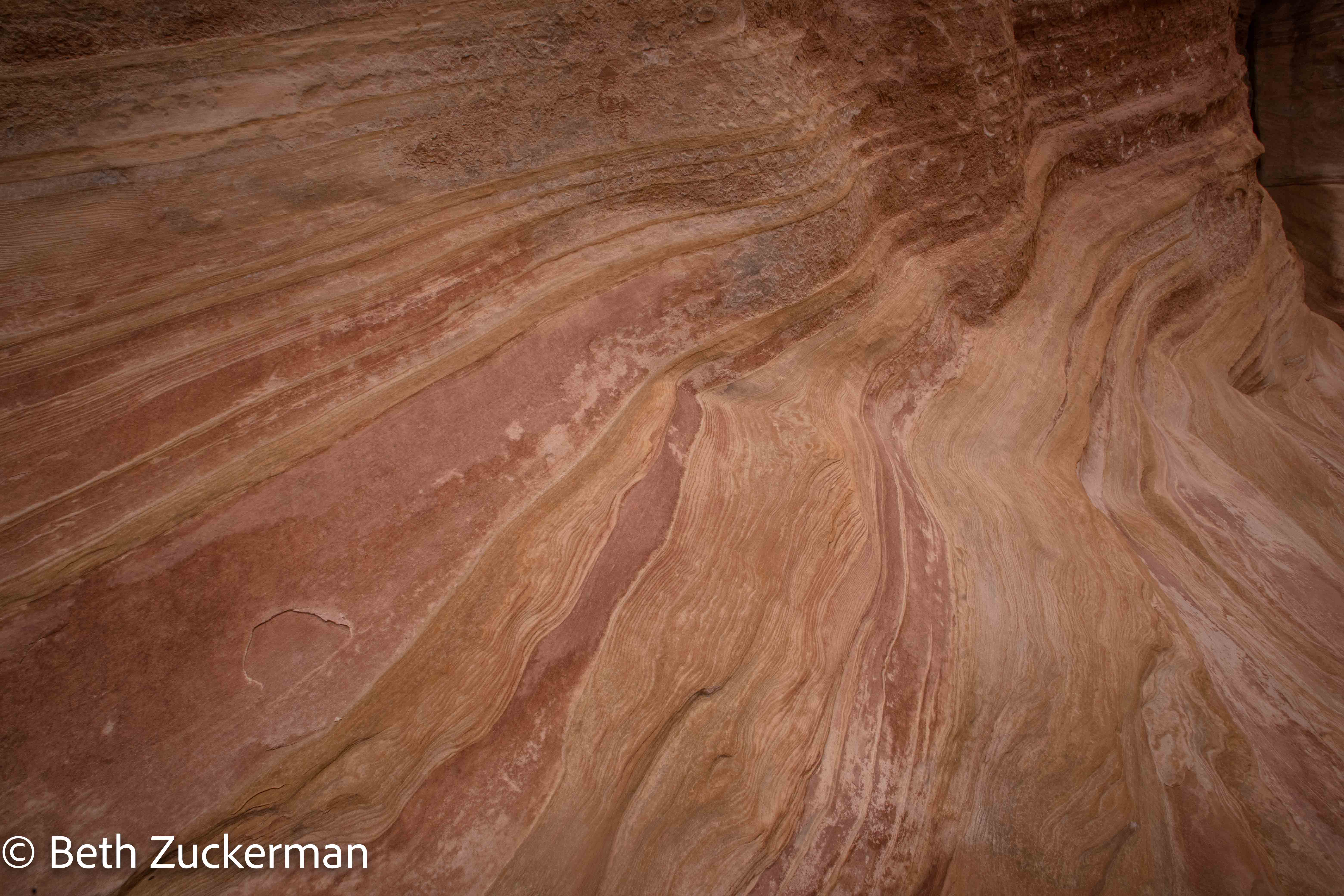
Details in rock.
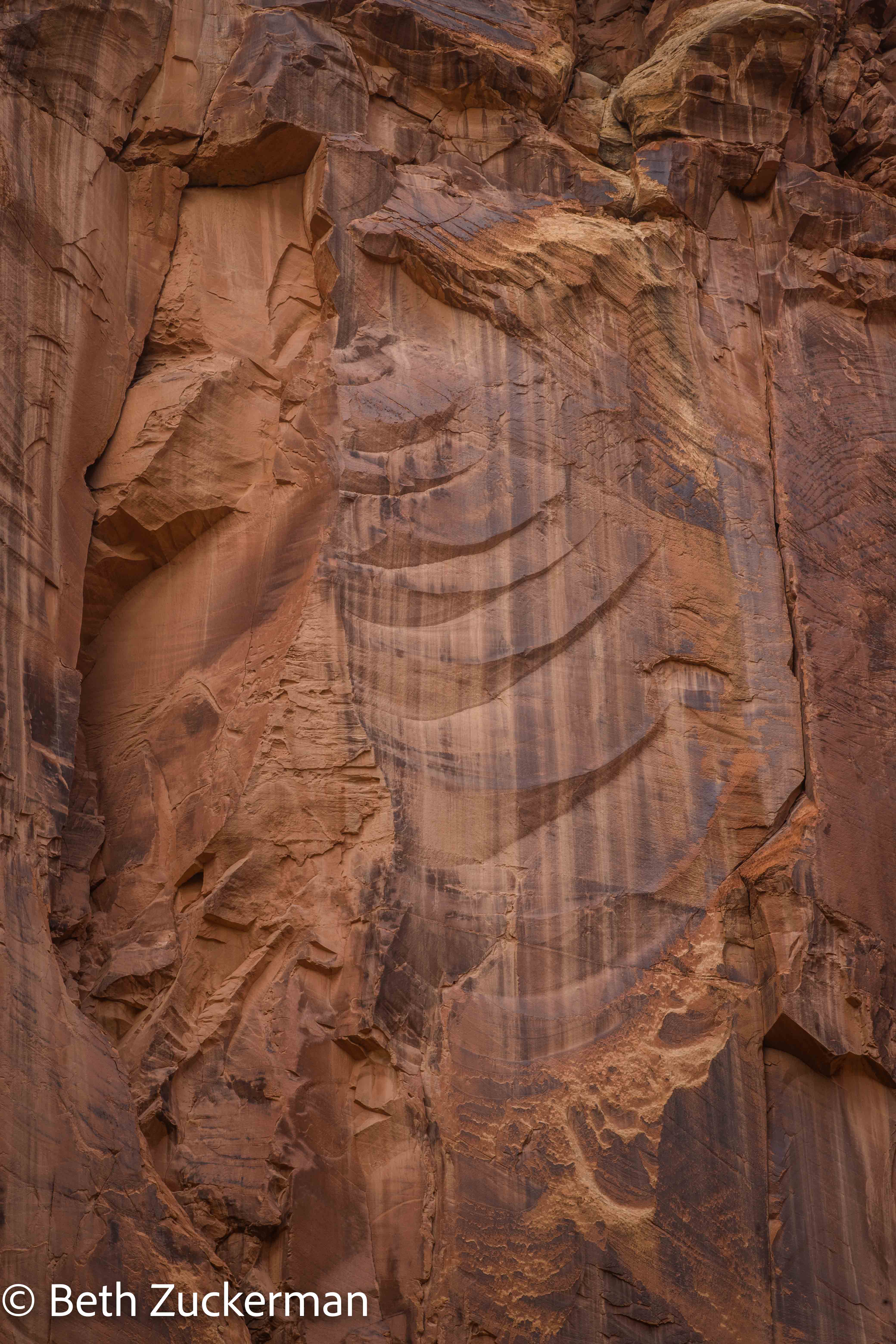
Eric photographed this interesting erosional formation.
Deep into the canyon. There were many exciting opportunities for hiking on the side roads and at the end of the road, but none that we had time for.
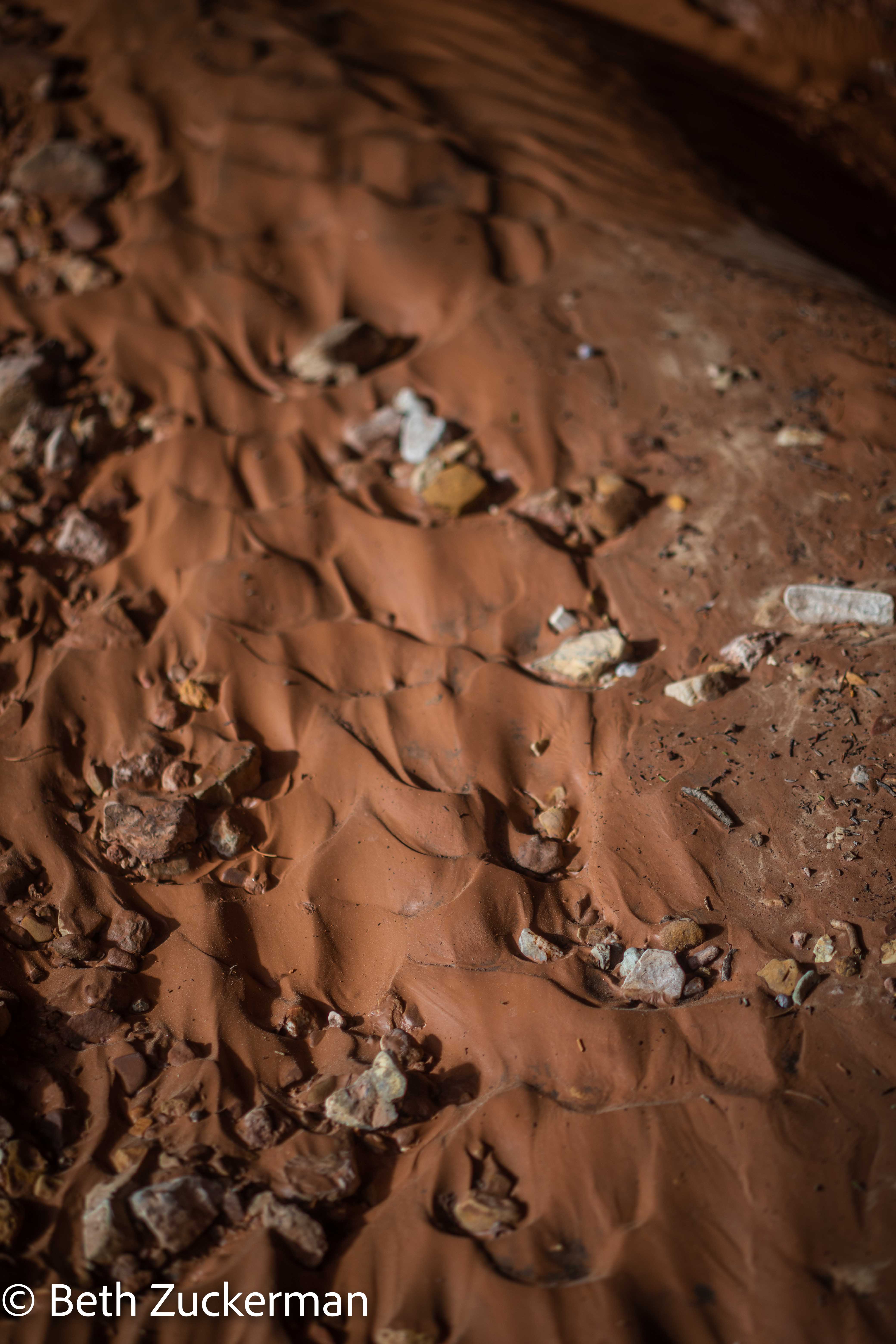
Ripples in mud.
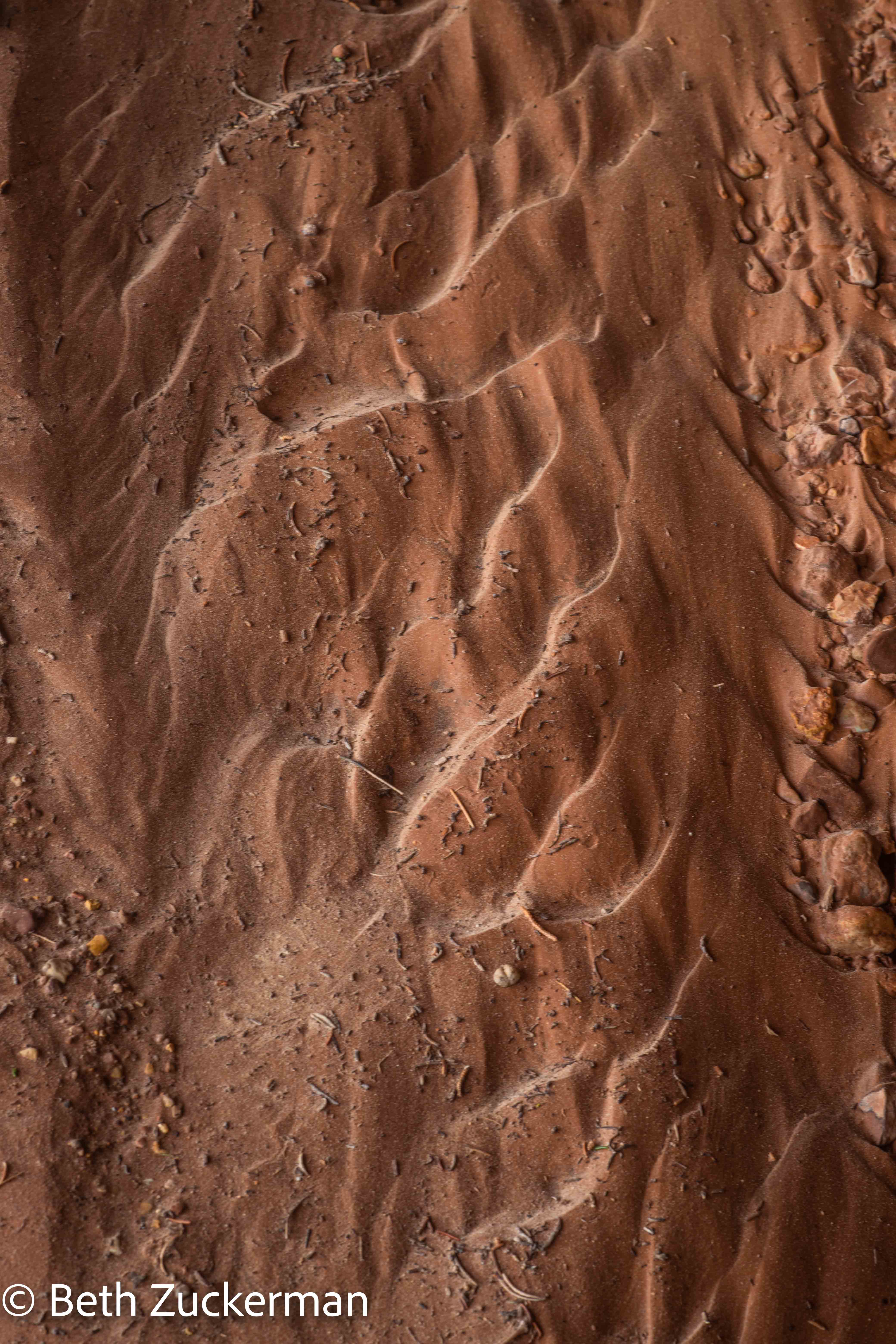
Other ripples in mud.
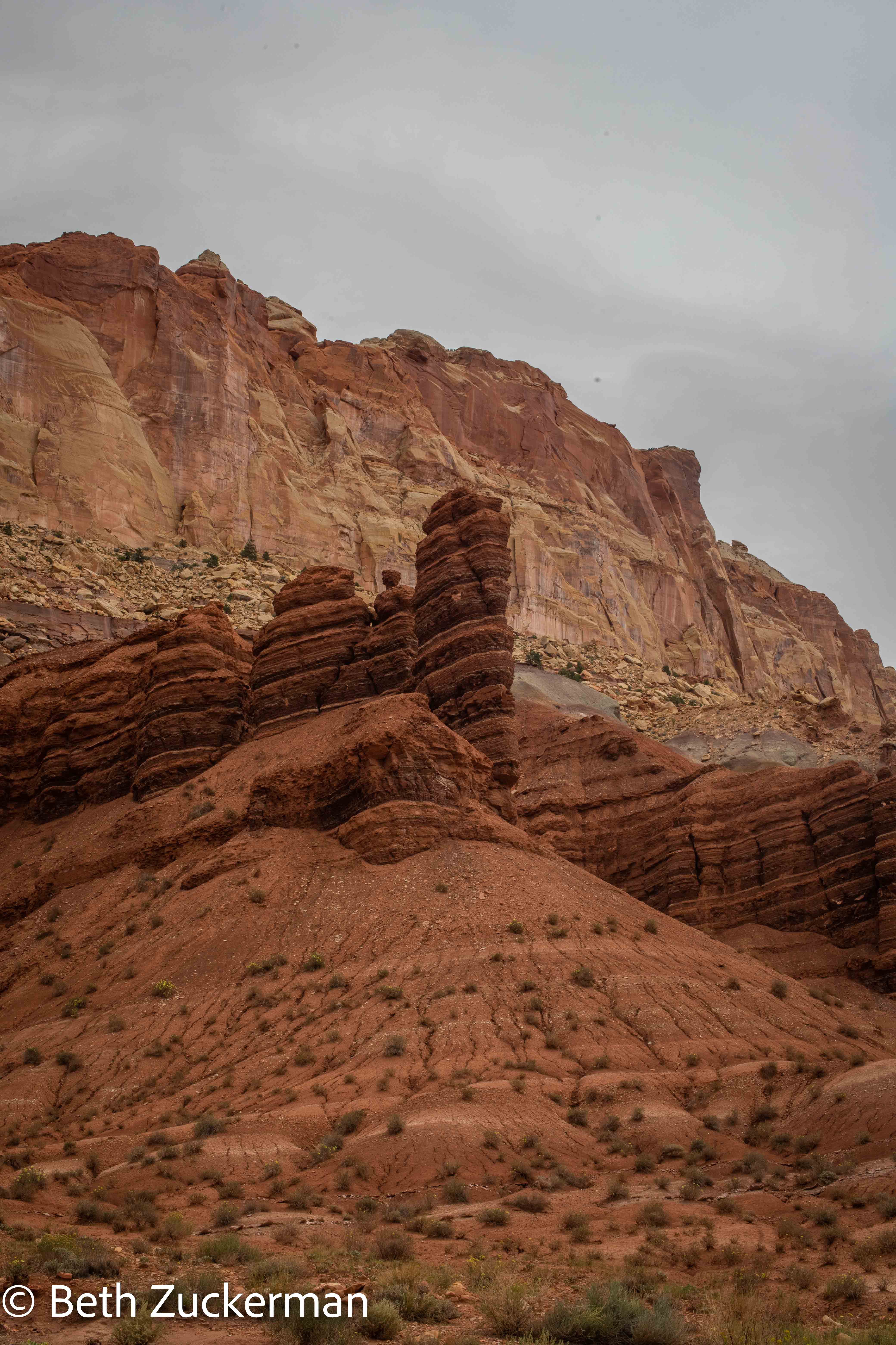
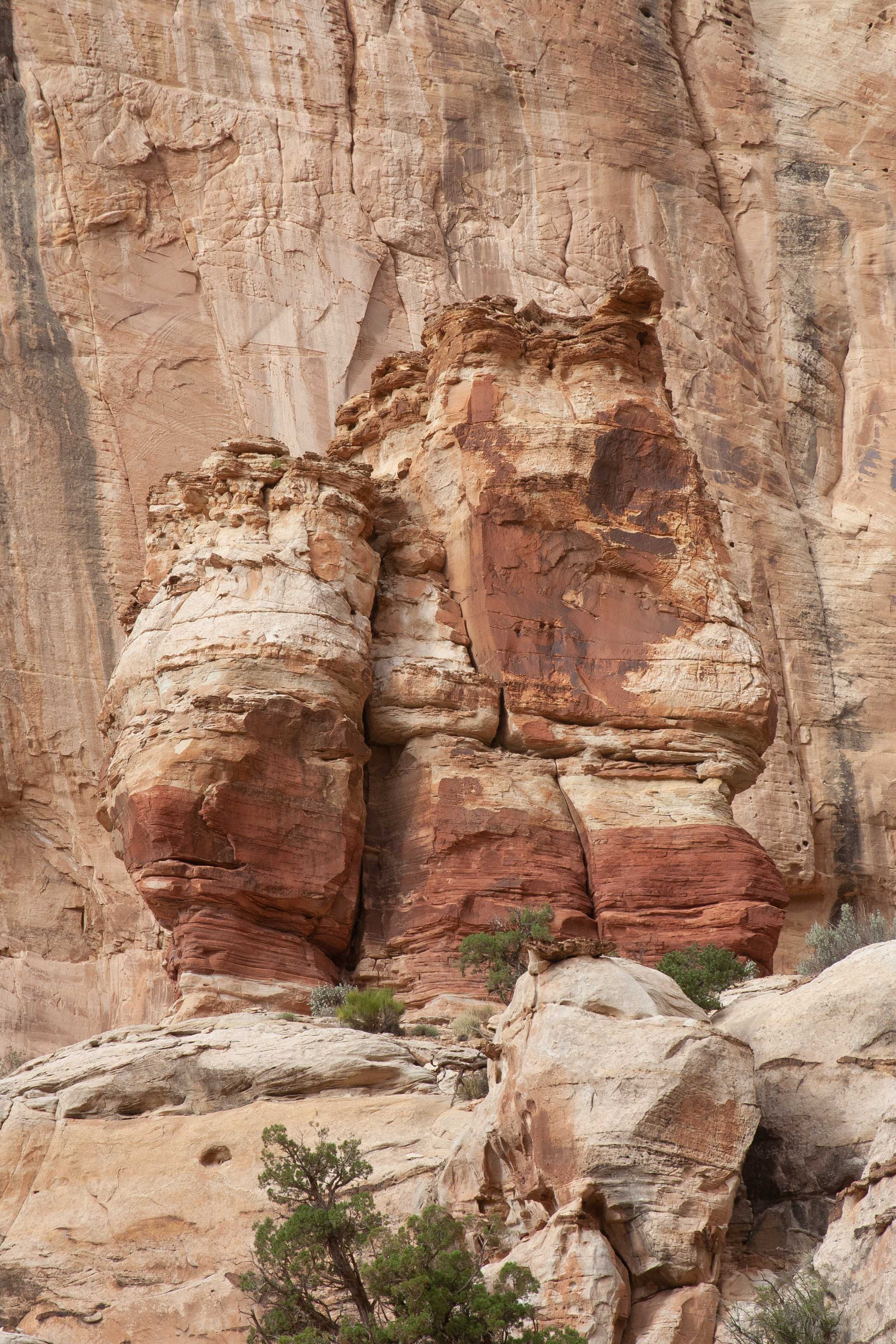
An amazing formation.
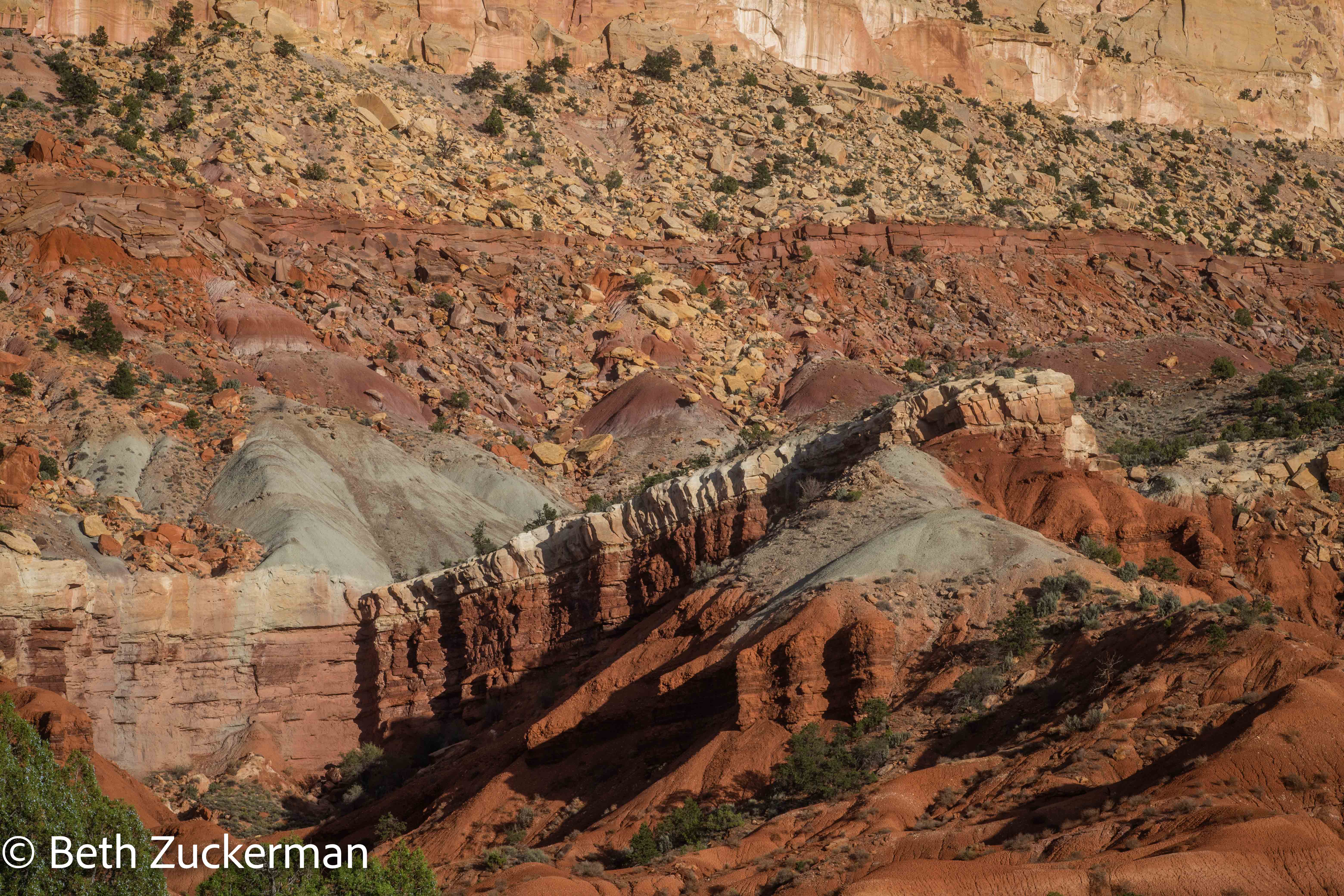
Layers in rock, I think, again, Chinle Formation at the bottom and Wingate Sandstone above.
Waterpocket Fold detail.
Distance hiked: 3 km/2 mi