Timbisha/Death Valley, Part 2
Saturday-Sunday, 16-17 March, 2019
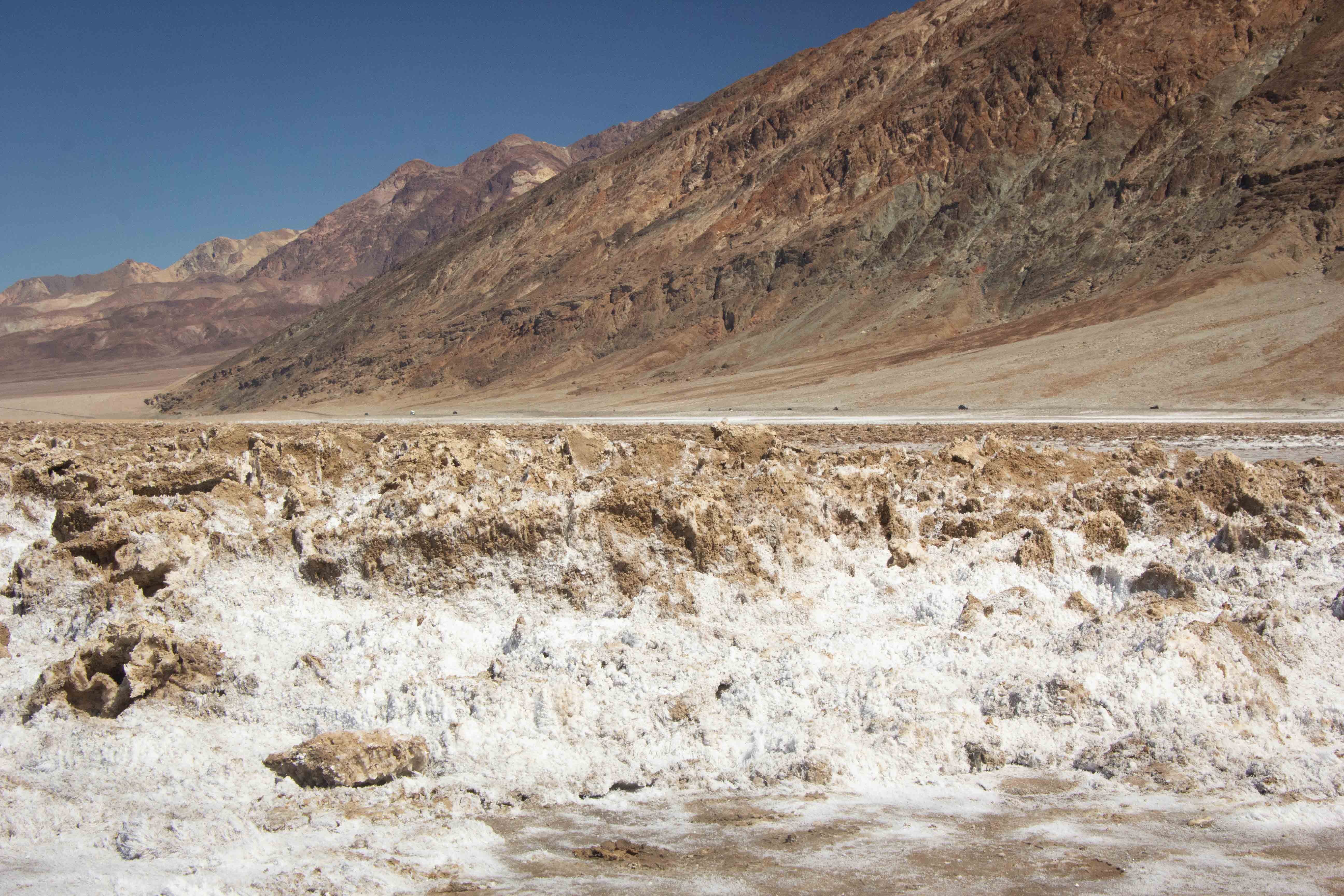
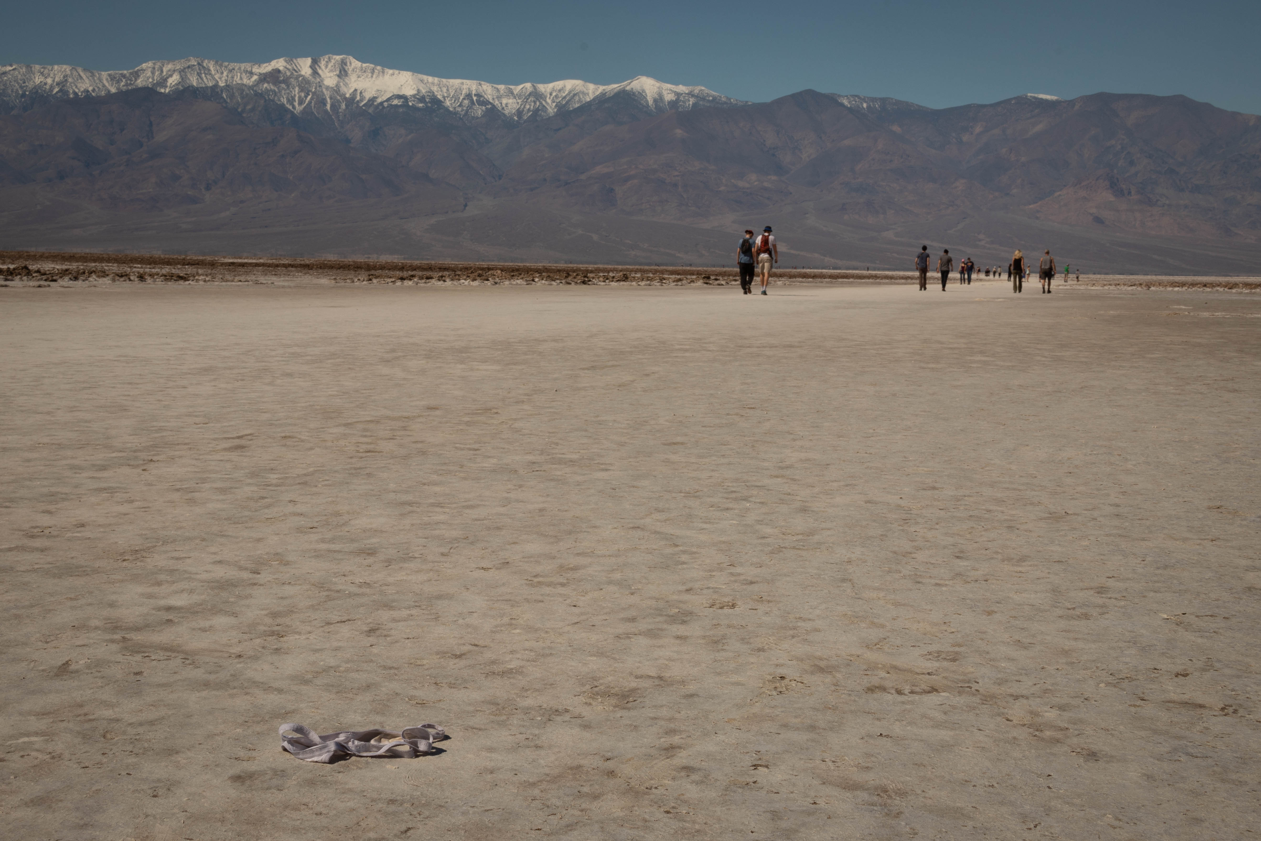
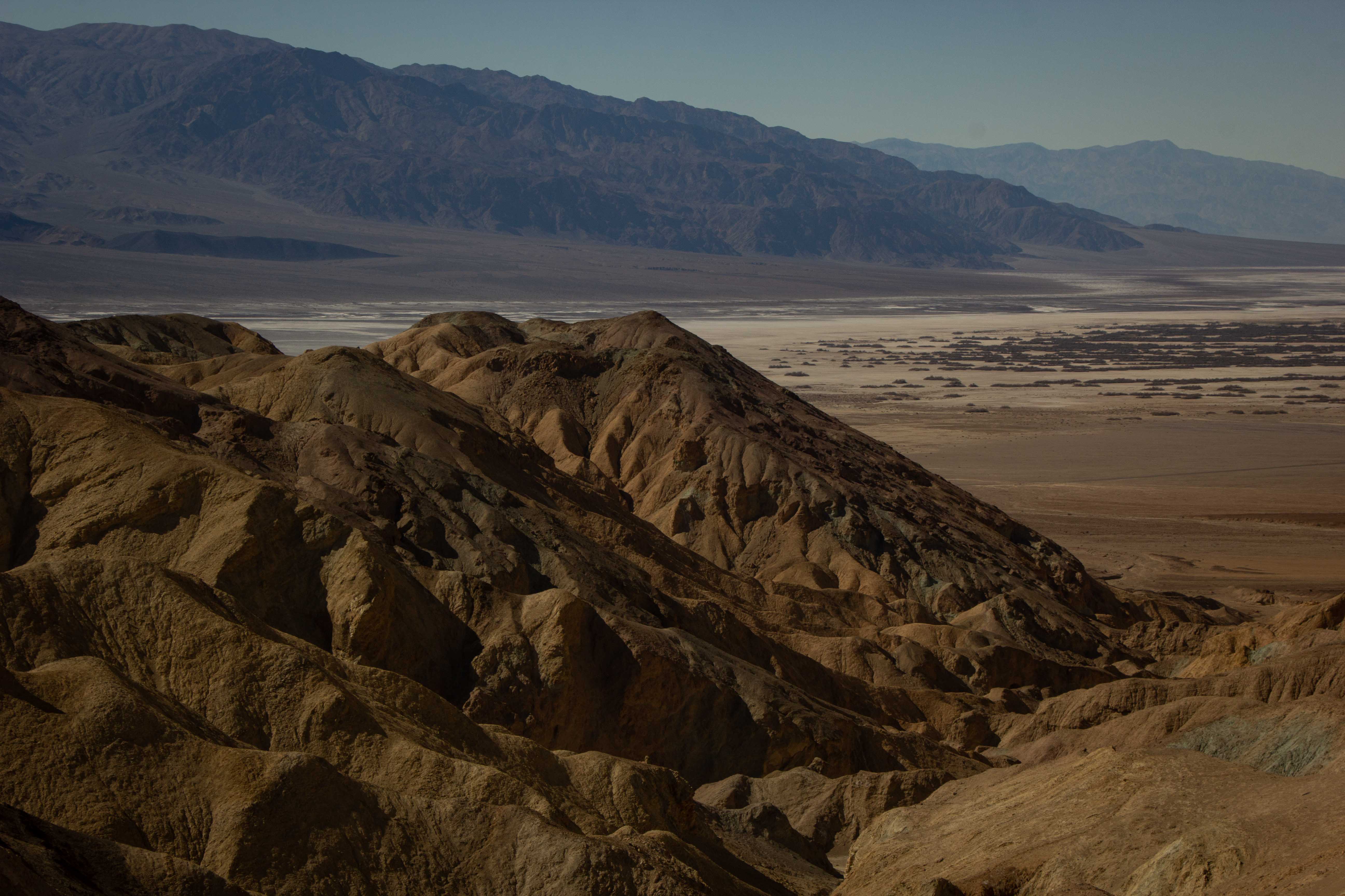
Badwater Basin
Eric's view of Badwater Basin and surrounding hills.
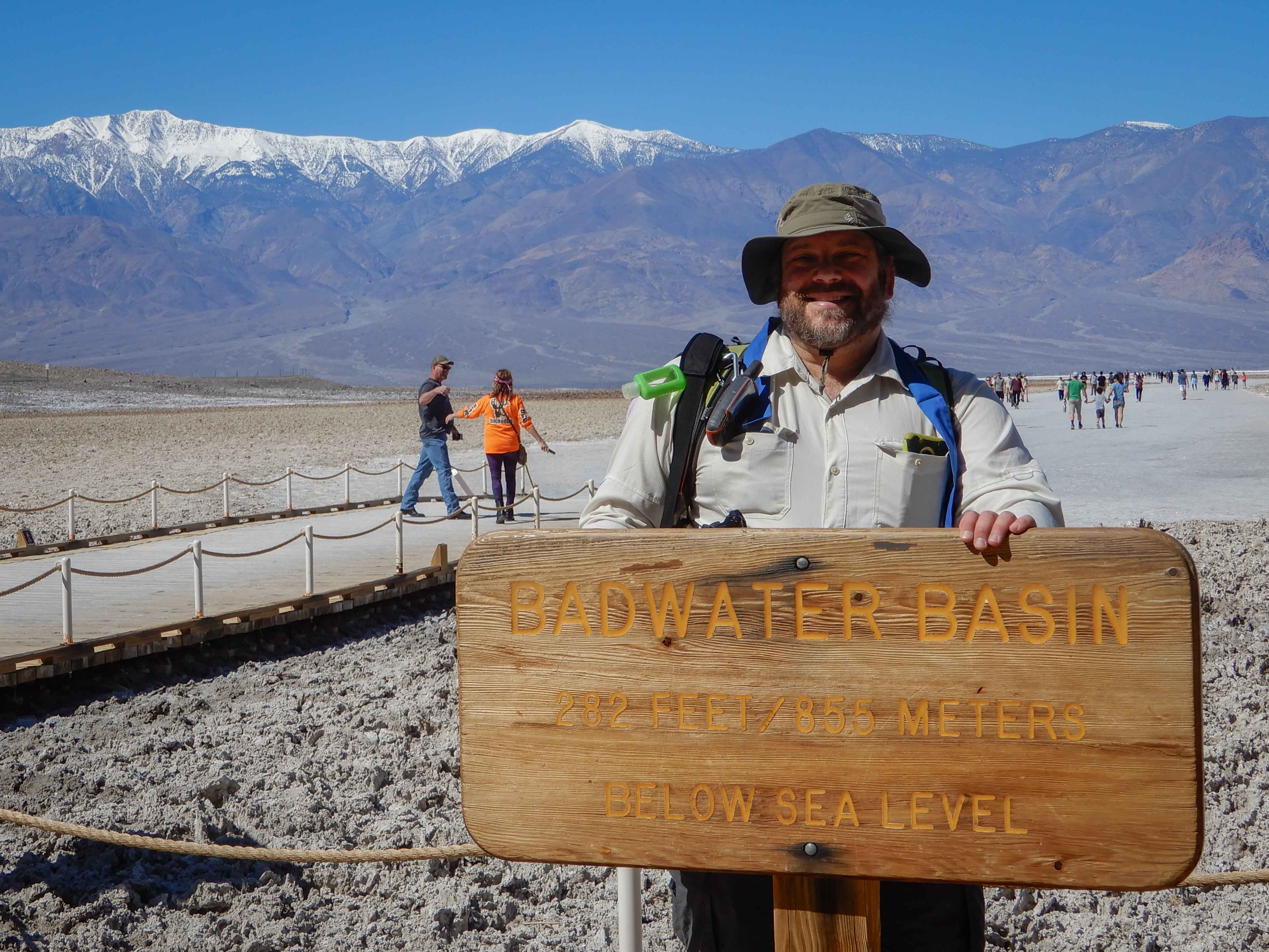
Eric posed with the sign for Badwater Basin, one of the top attractions in the main valley area of the park. The area descends to 282 ft/86 m below sea level, the lowest point in North America.
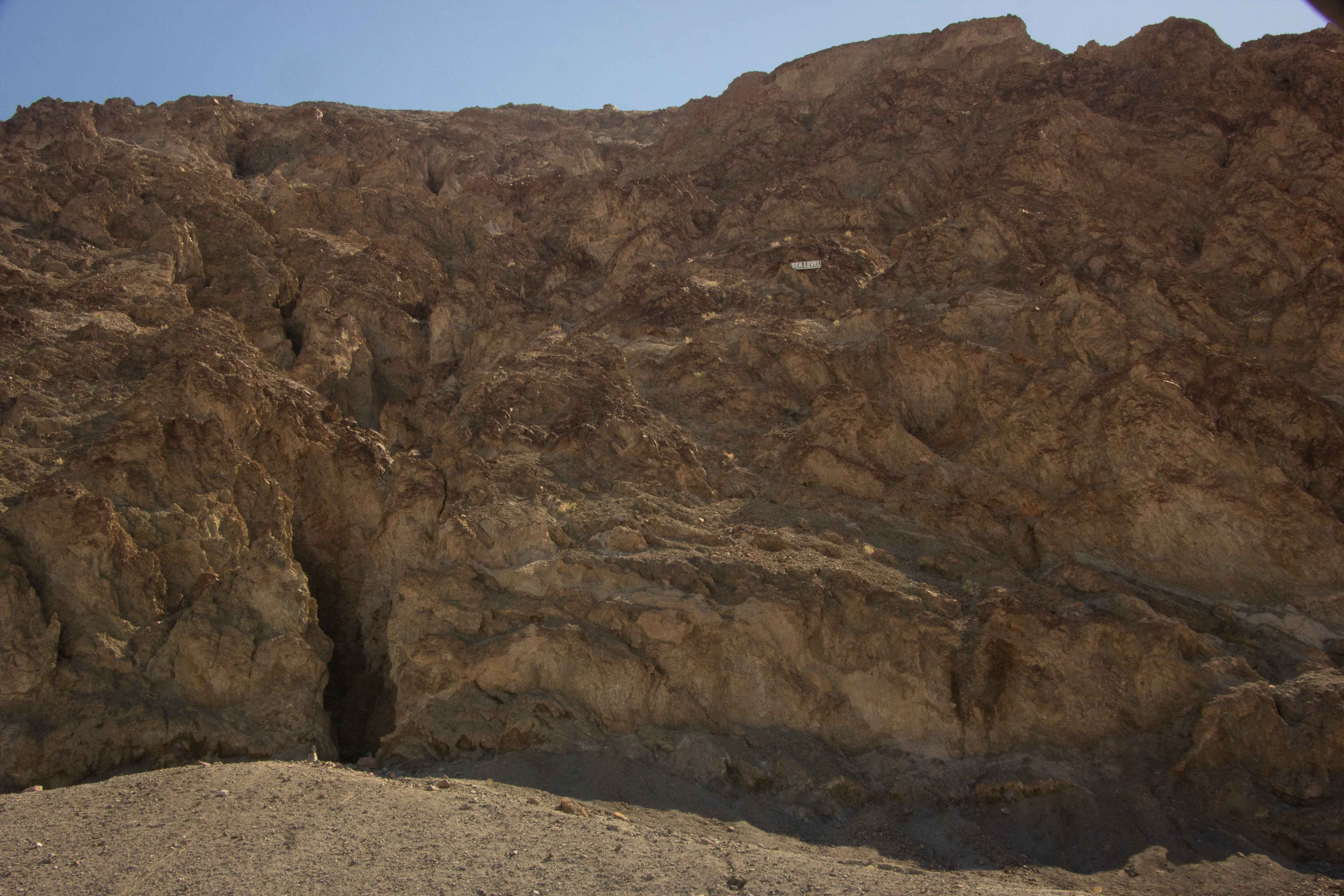
Eric took a picture of a sign in the hills above us, denoting "SEA LEVEL."
Delicate soils near the entrance to Badwater Basin. A ranger was telling a crowd that the Park Service had built a boardwalk here to protect the endemic and threatened Badwater snail.
Somehow, this barren environment contained a pair of also-delicate undies. We're sure there's a story there.
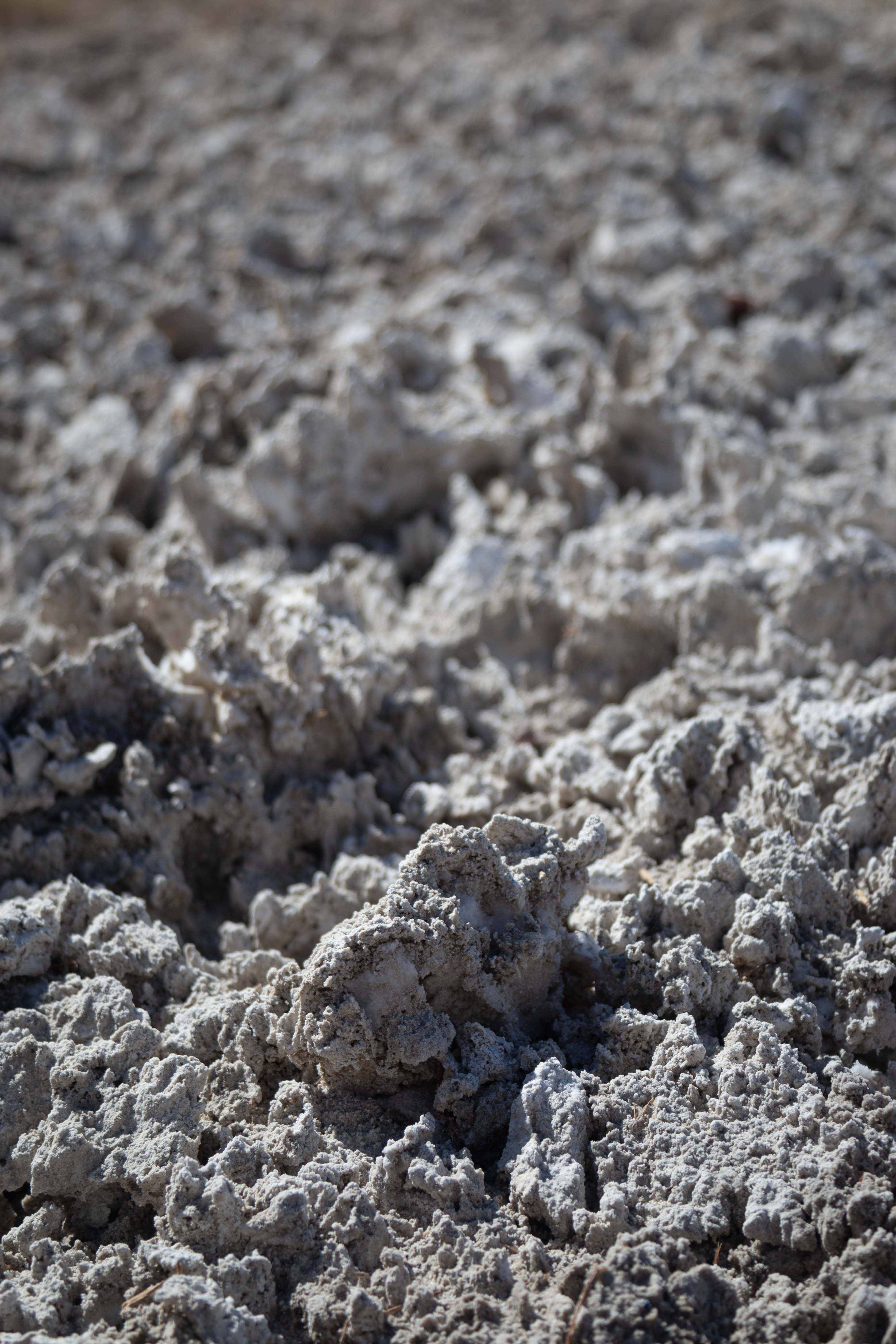
Of course, I couldn't resist a macro photo of the salt crystals.
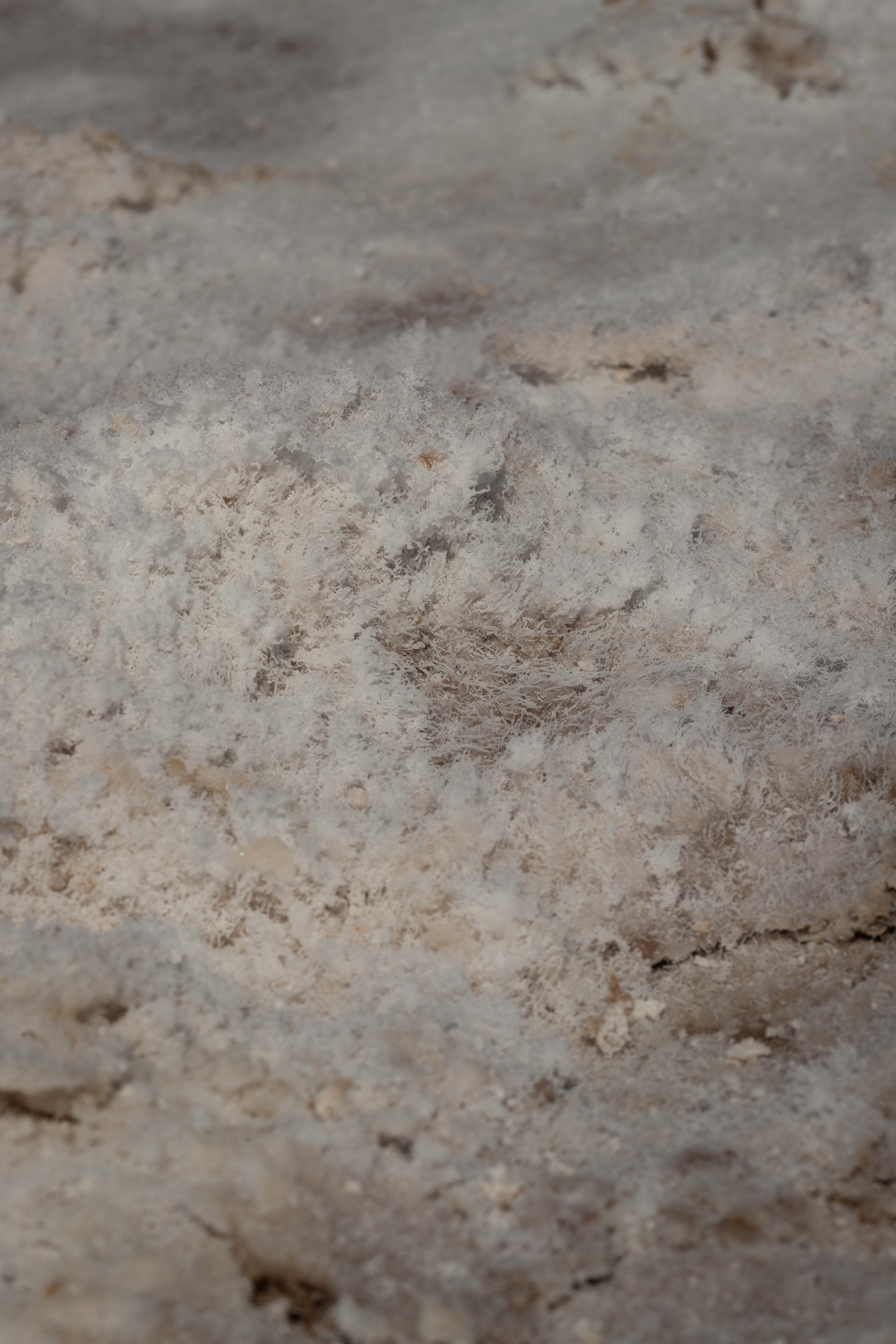
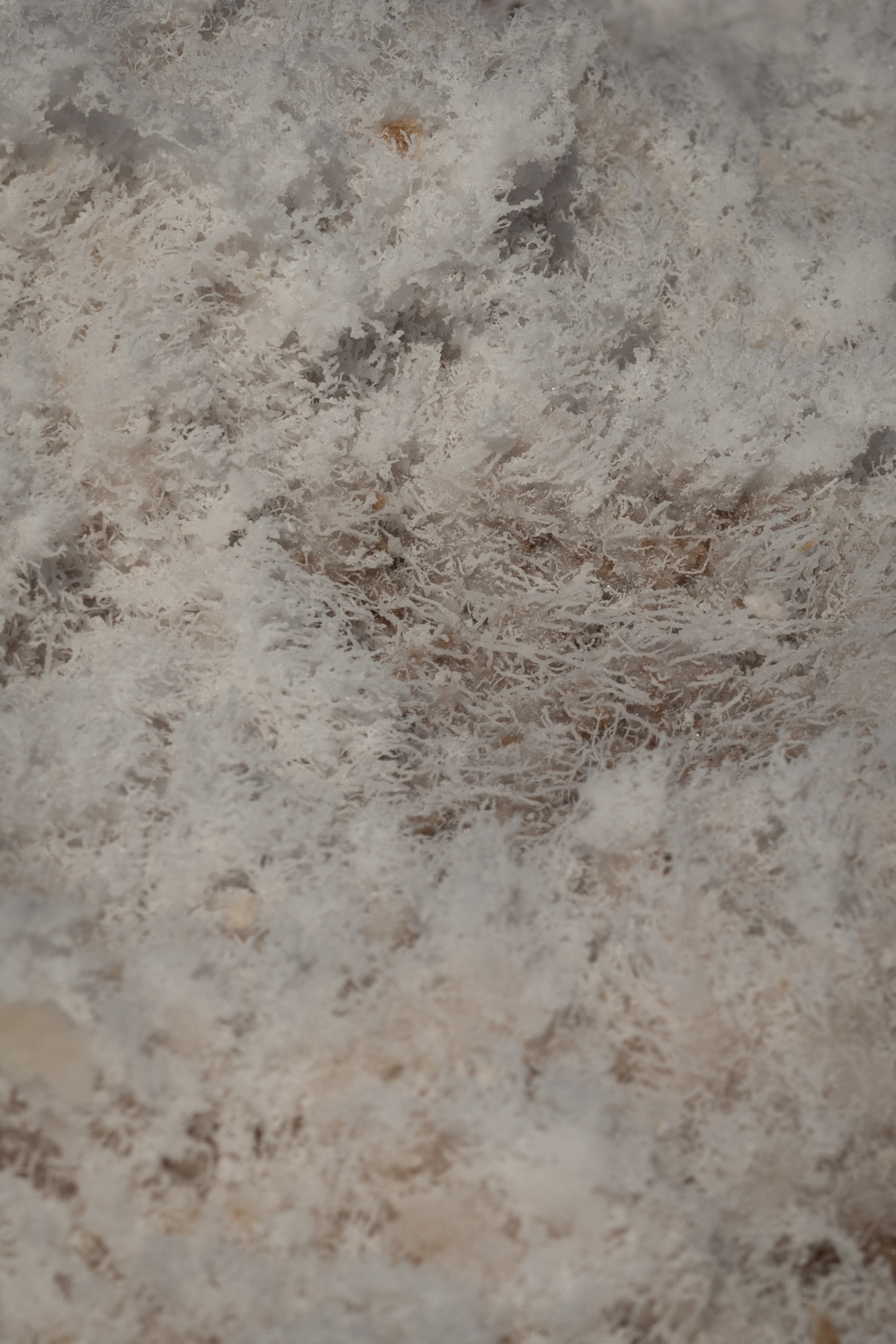
Detail of previous photo.
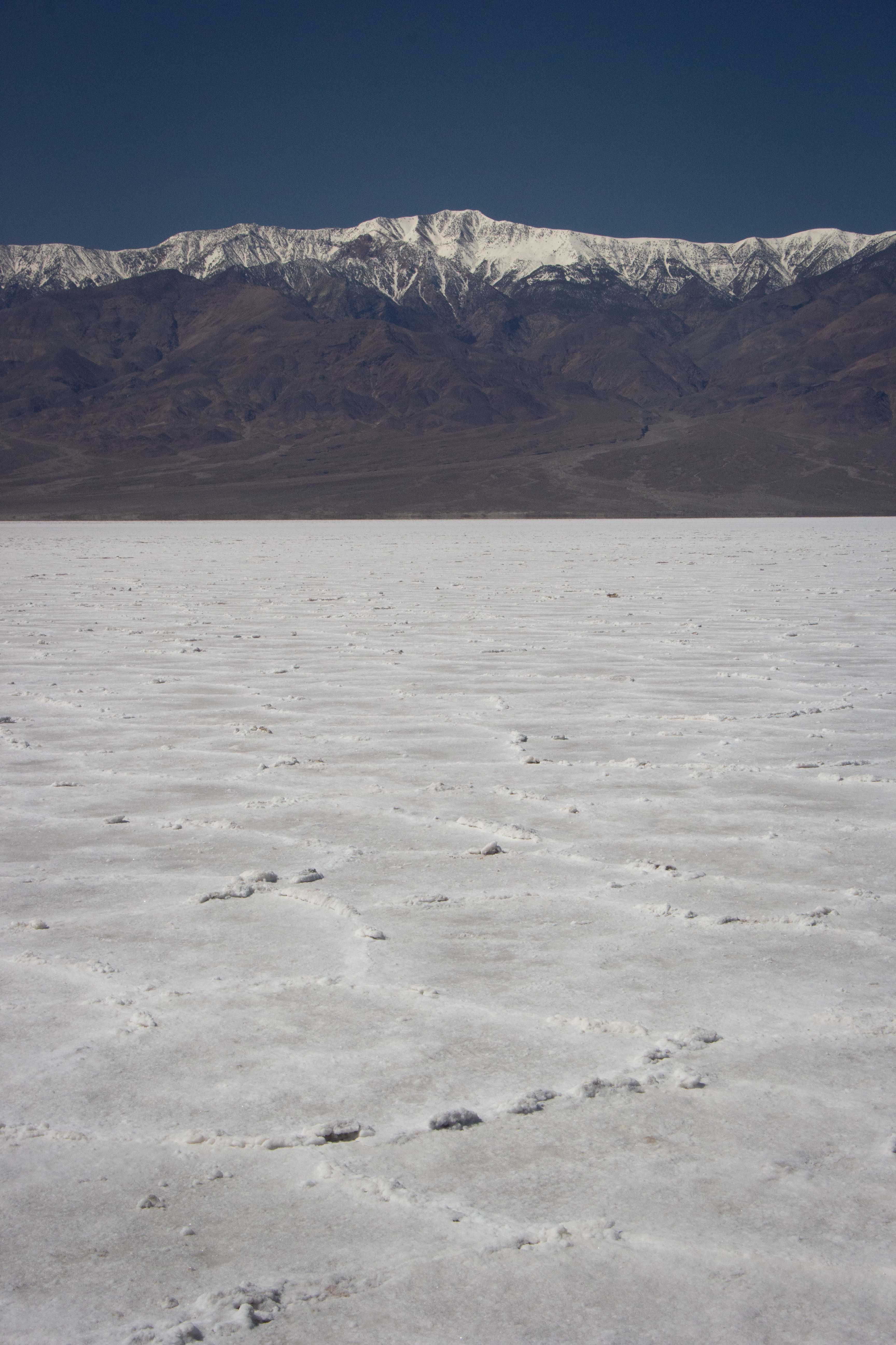
Eric took a picture of the odd juxtaposition of the salty, evaporated desert landscape with the snow on the hills above us.
Desolation Canyon
The premiere hike of our visit would be Desolation Canyon, because it sounded as interesting as the more popular Golden Canyon, but less crowded.
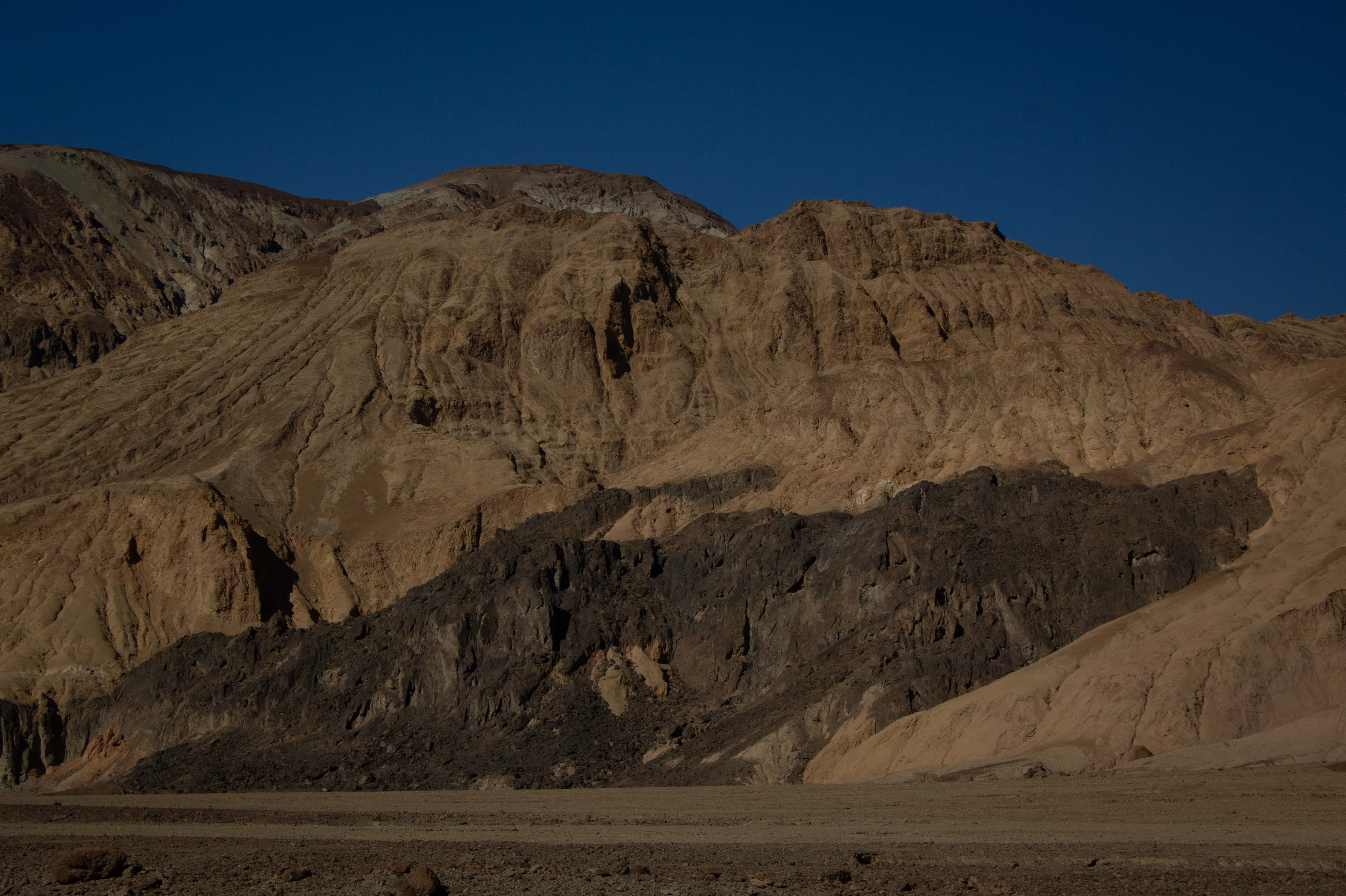
Eric photographed the Black Mountains near the parking area.
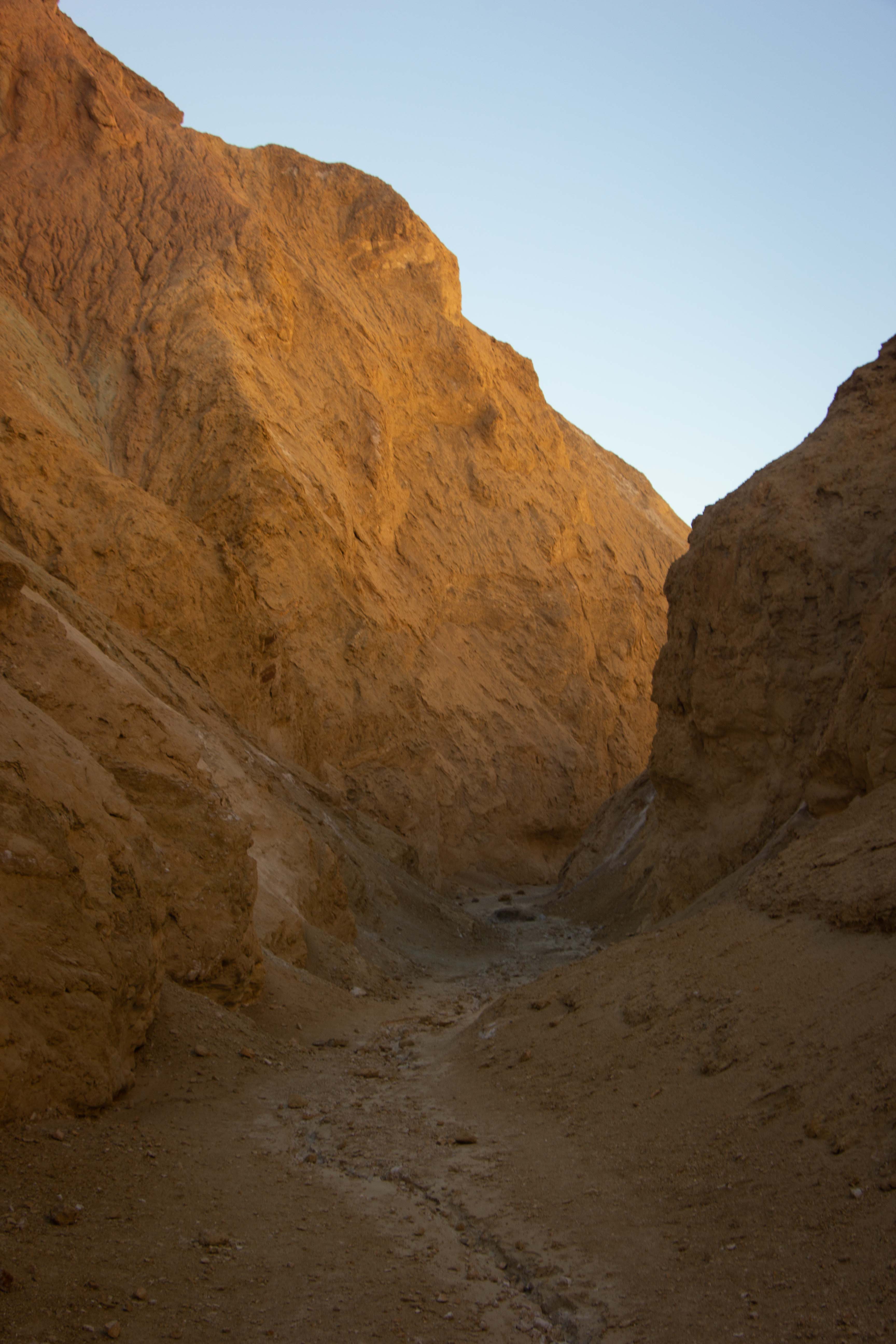
The beginning part of the hike, through a wash (dry streambed), was relatively boring, but the canyon soon narrowed. Photo by Eric.
The canyon narrowed into a slot, carved by debris-filled flash flooding. Photo by Eric.
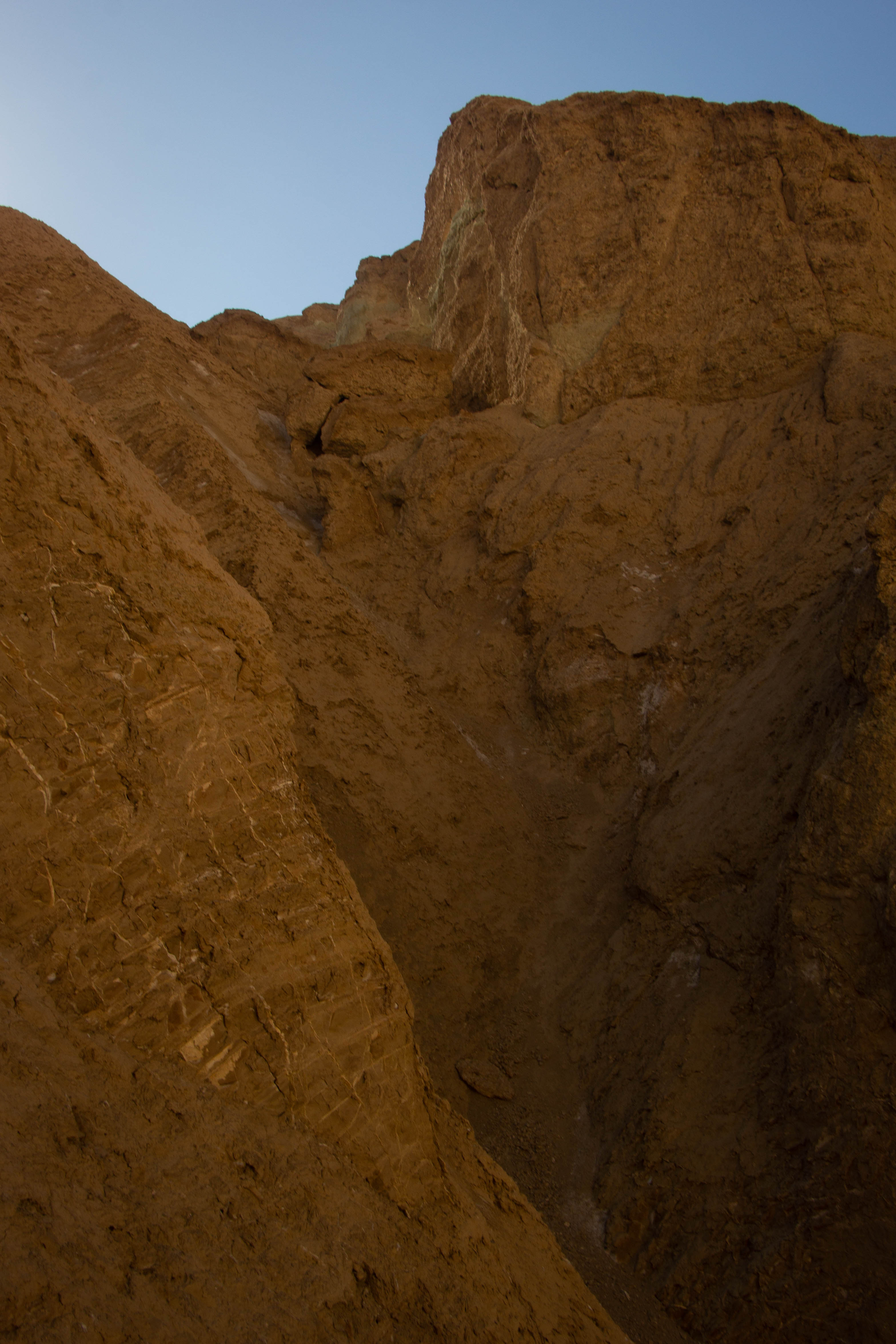
Another view of Eric's, of the steep sides of the slot.
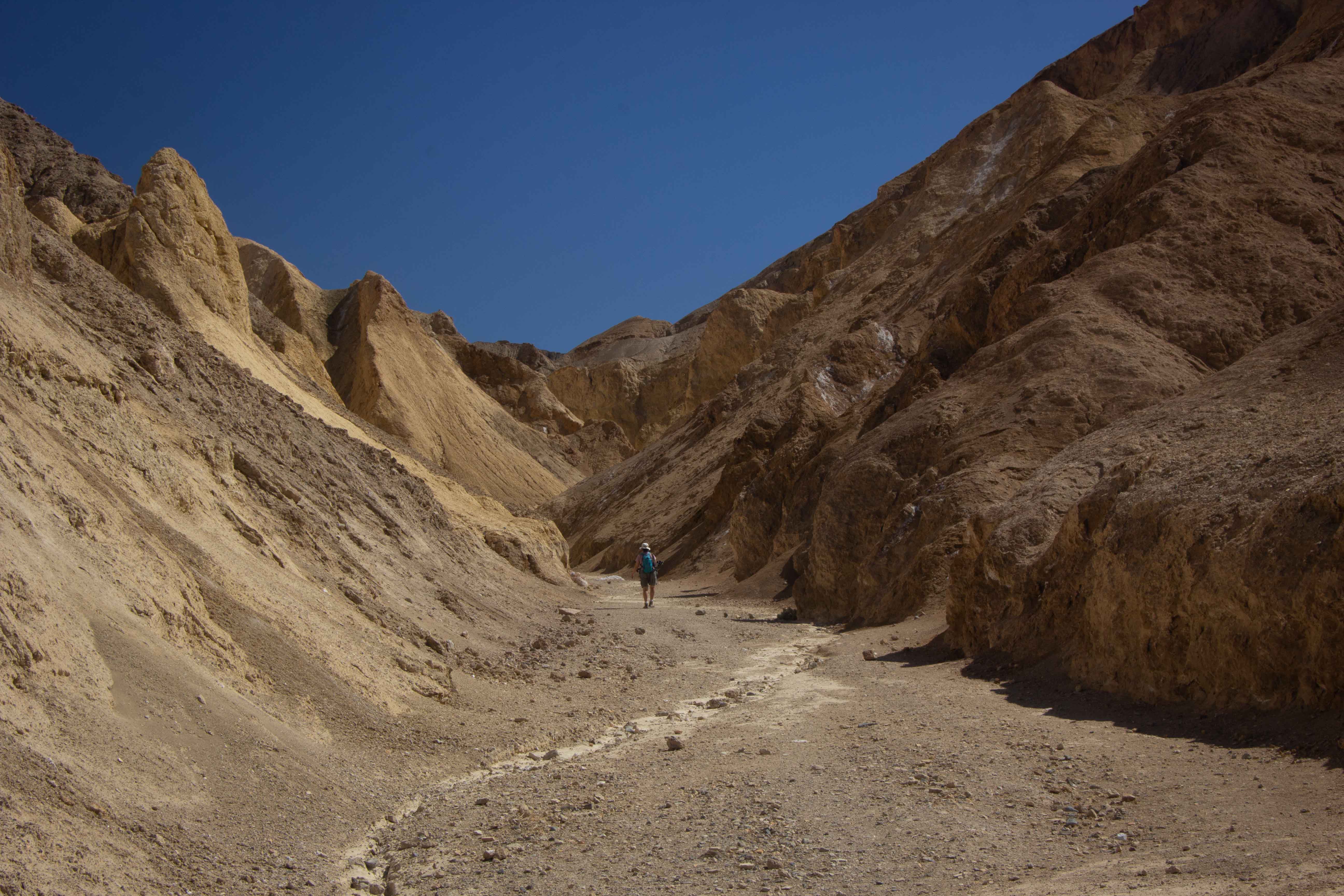
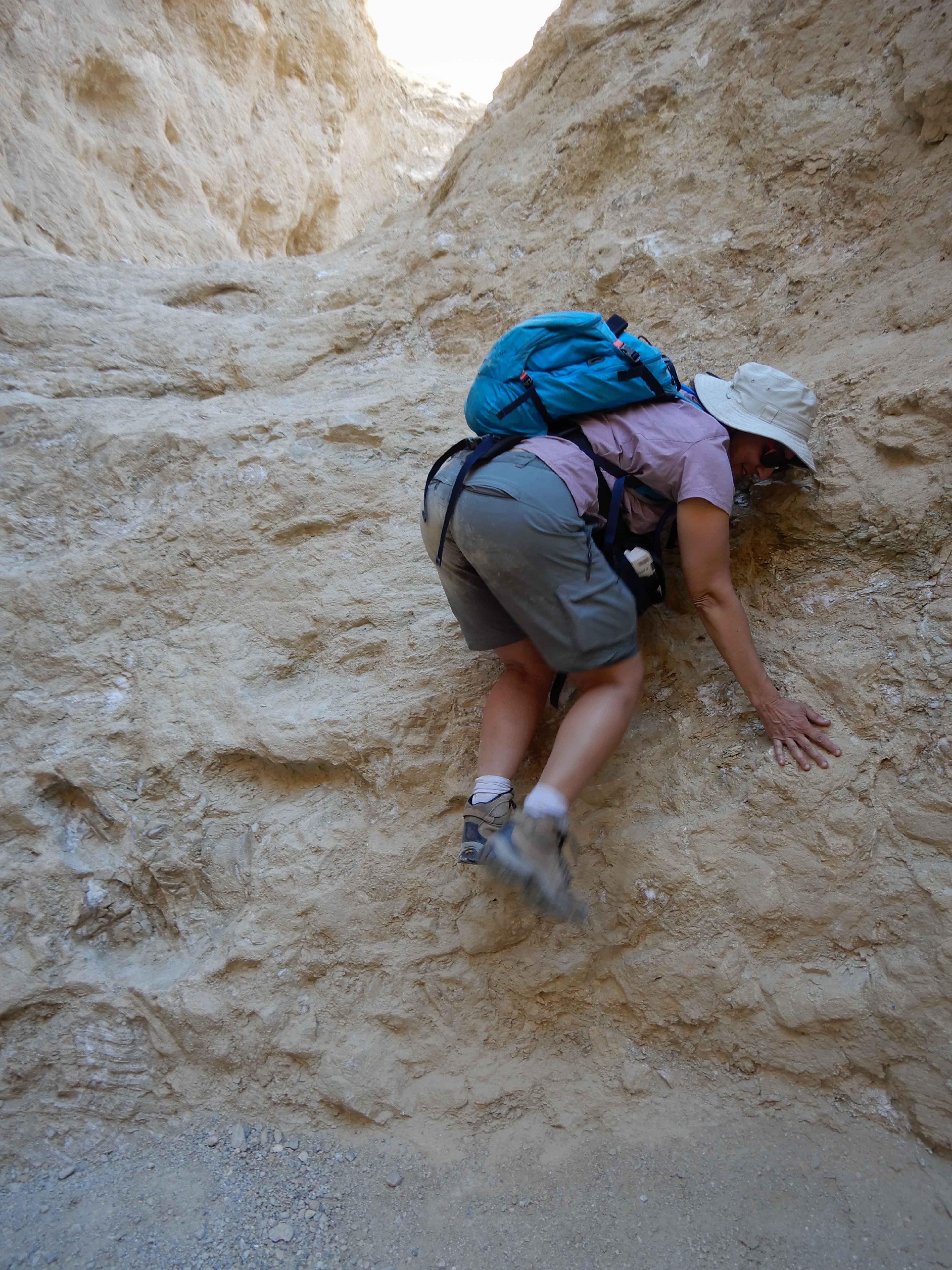
The ranger has warned us that we would have to scramble over two major rockpiles on the trail. Eric took my picture on one. It was not bad, but sufficiently challenging that we saw only five other hikers on the trail.
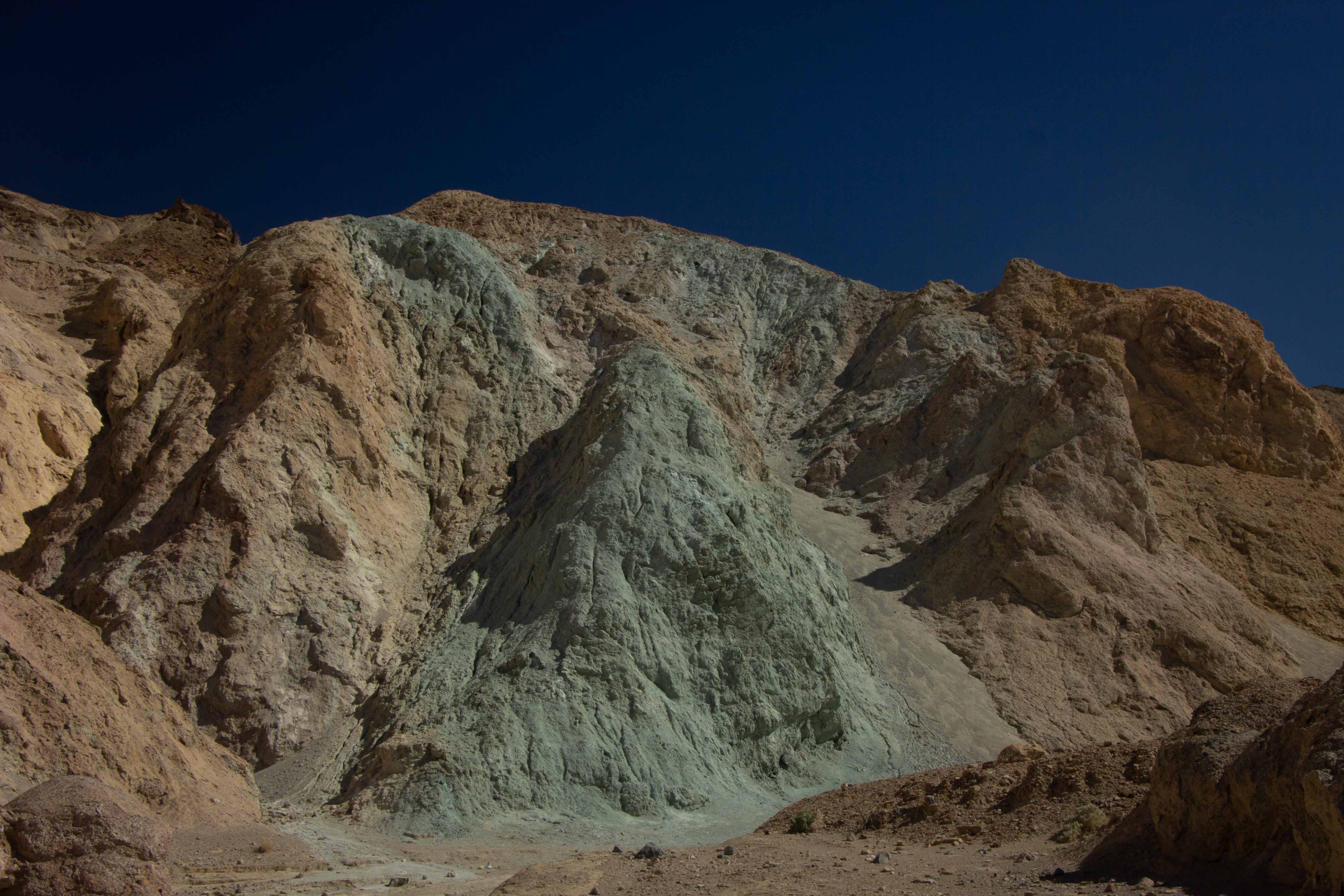
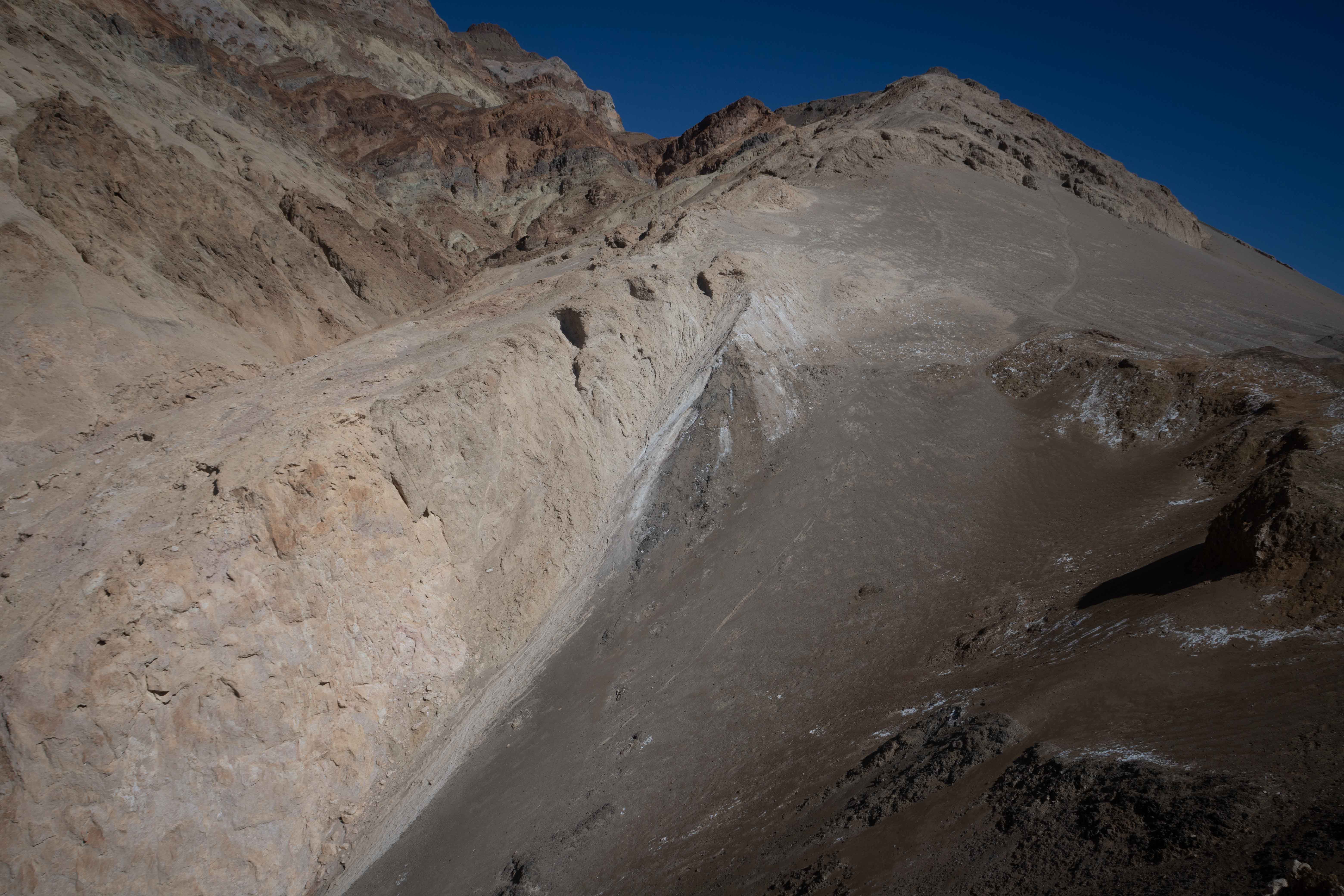
We found ourselves in a somewhat wider canyon, full of the same stunning colors of nearby Artists Palette.
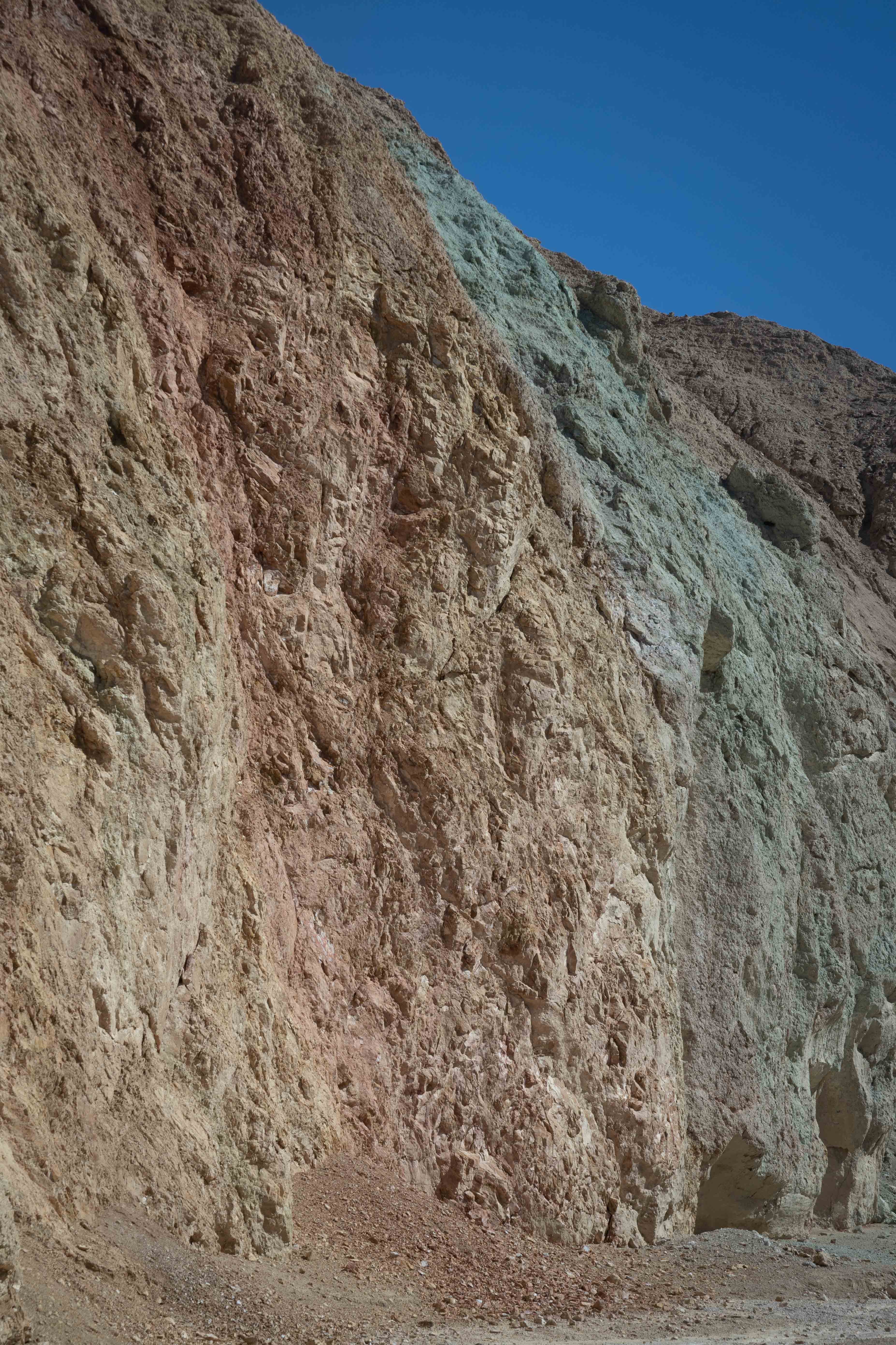
Eric's view of the colors.
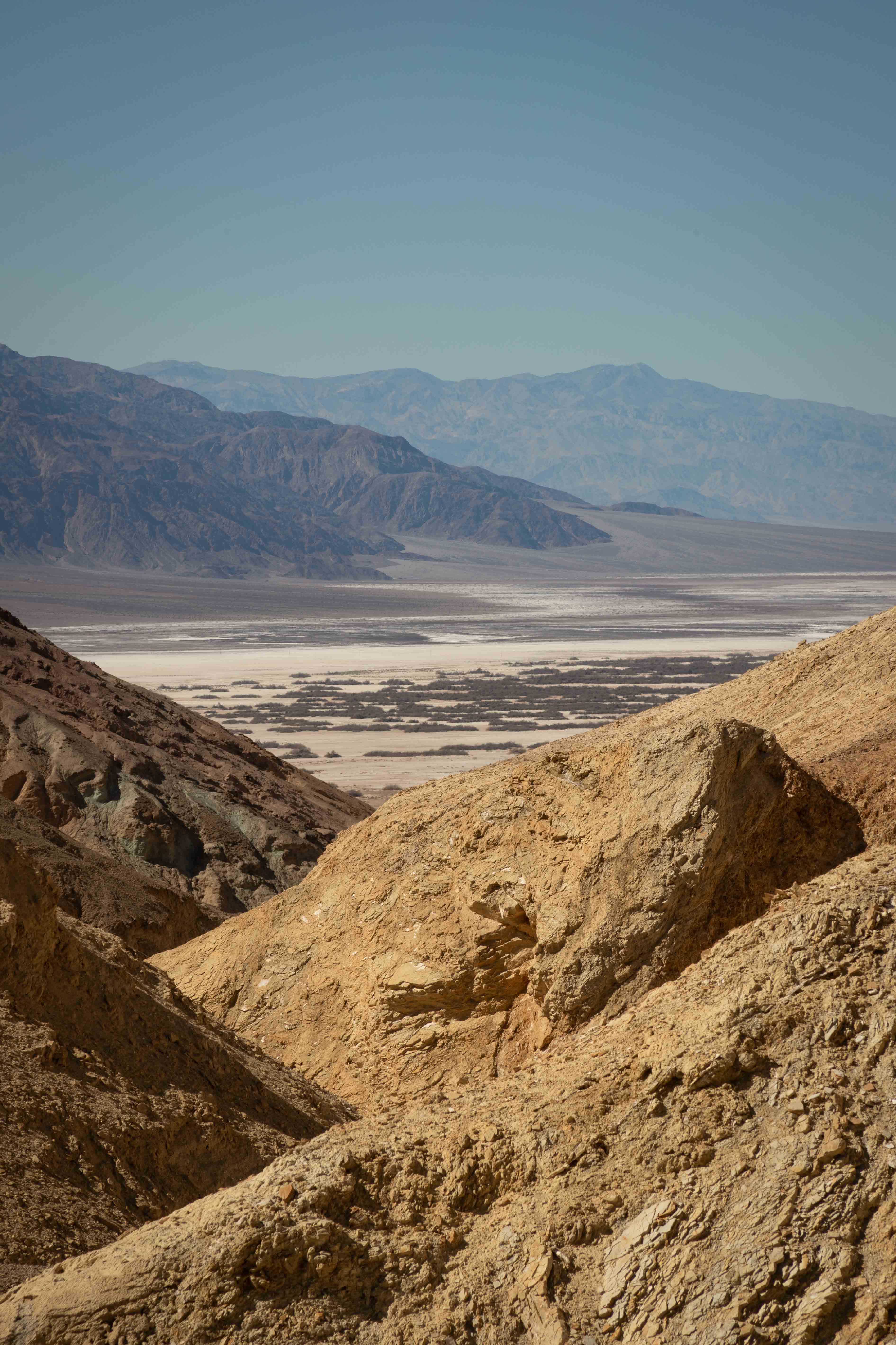
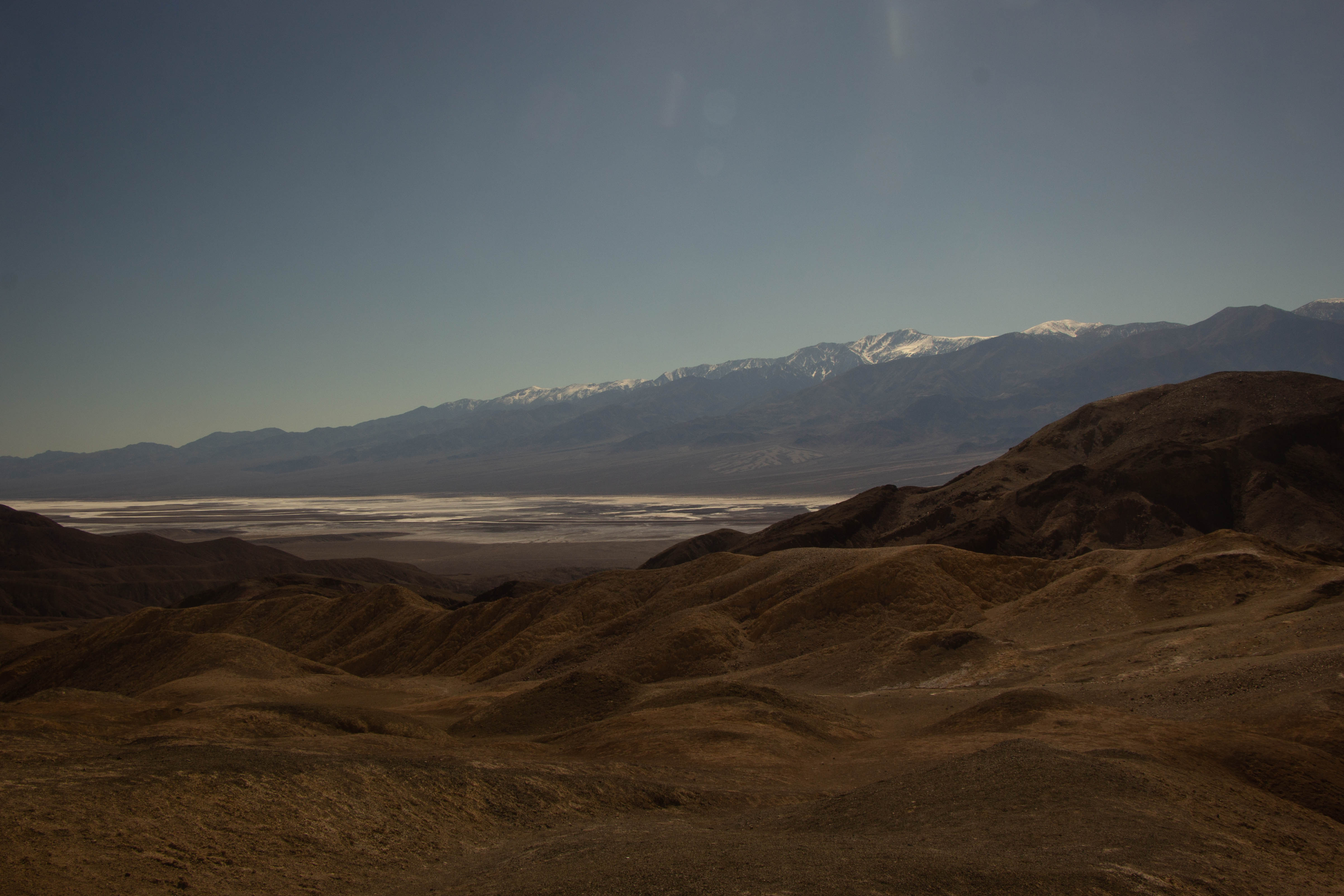
The trail then ascended steeply. I took a photo looking back at the layers of canyon we had hiked through, with Badwater Basin and the Panamint Range in the background.
At last, we emerged from the canyon onto a plateau with fantastic views. Eric was trying to remember the last time we had taken such a difficult hike for such a dramatic payoff at the end. We were joined by a Dutch couple who had done extensive exploration of the American west.
View to the north, with Desolation Canyon in the foreground, and Badwater Basin and the Panamint Range in the background. Photo by Eric.
View to the east, with the hills still rising behind us, showing the steepness of the canyon below us.
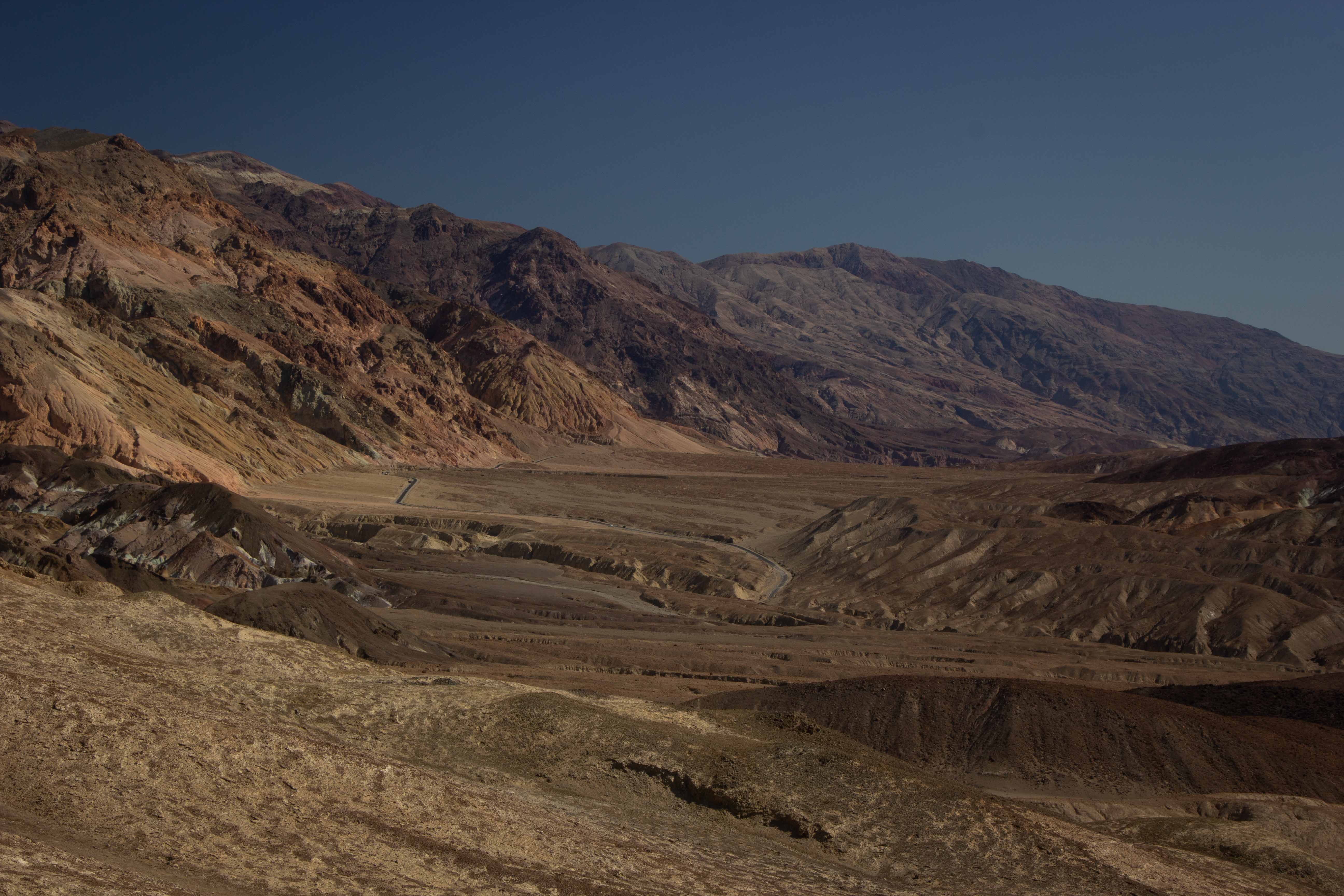
View to the south, with the road along the Amargosa Range in the background. Photo by Eric.
View to the east, with Badwater Basin in the background and the even bleaker landscape around us in the foreground. Photo by Eric.
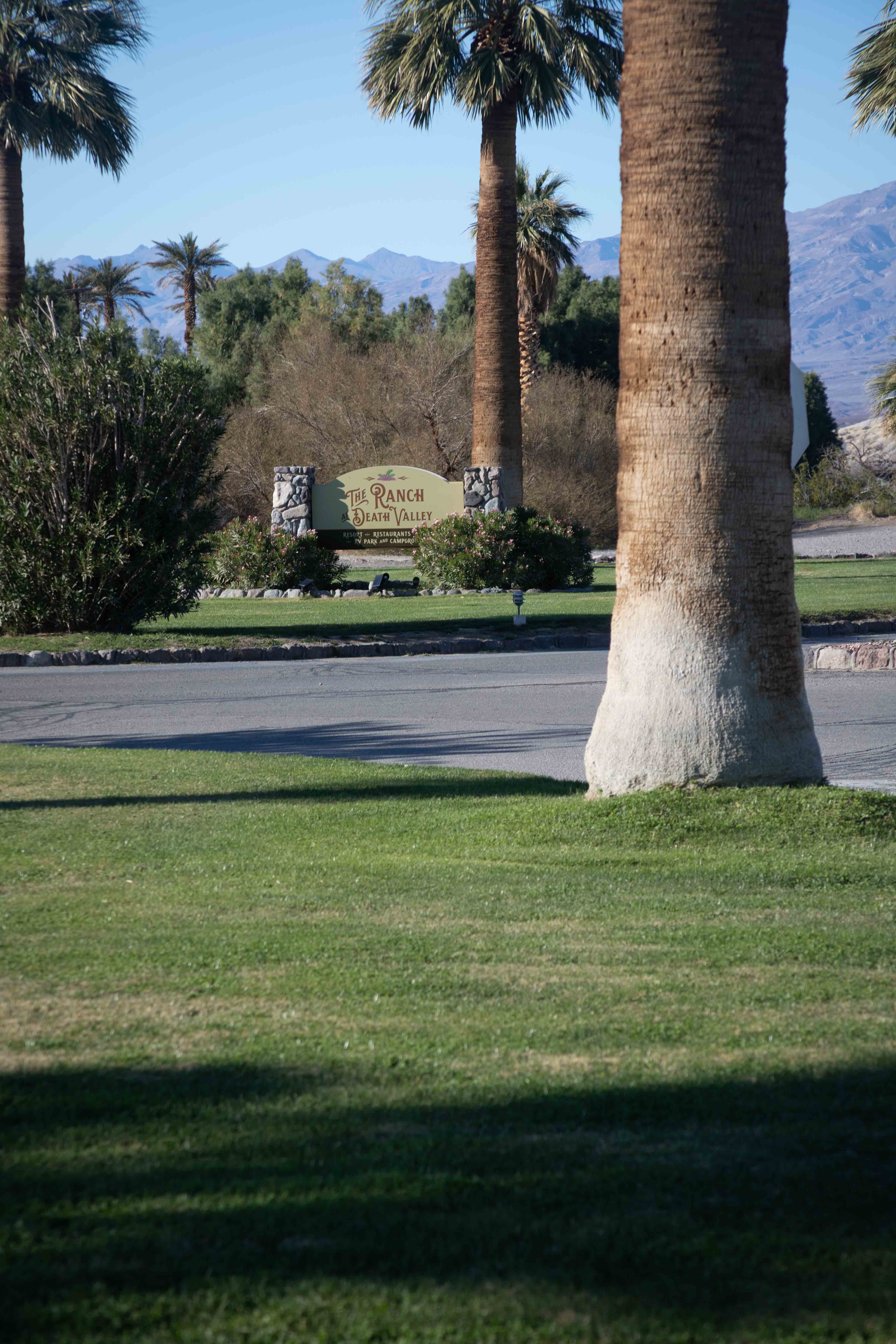
After the fantastic experience of Desolation Canyon, we made a brief stop to find a virtual cache at The Ranch at Death Valley, known as the Oasis. They planted grass! As if that already weren't sufficiently shocking, they have a golf course! A golf course! In Death Valley! What were they thinking?
Panamint Springs Resort
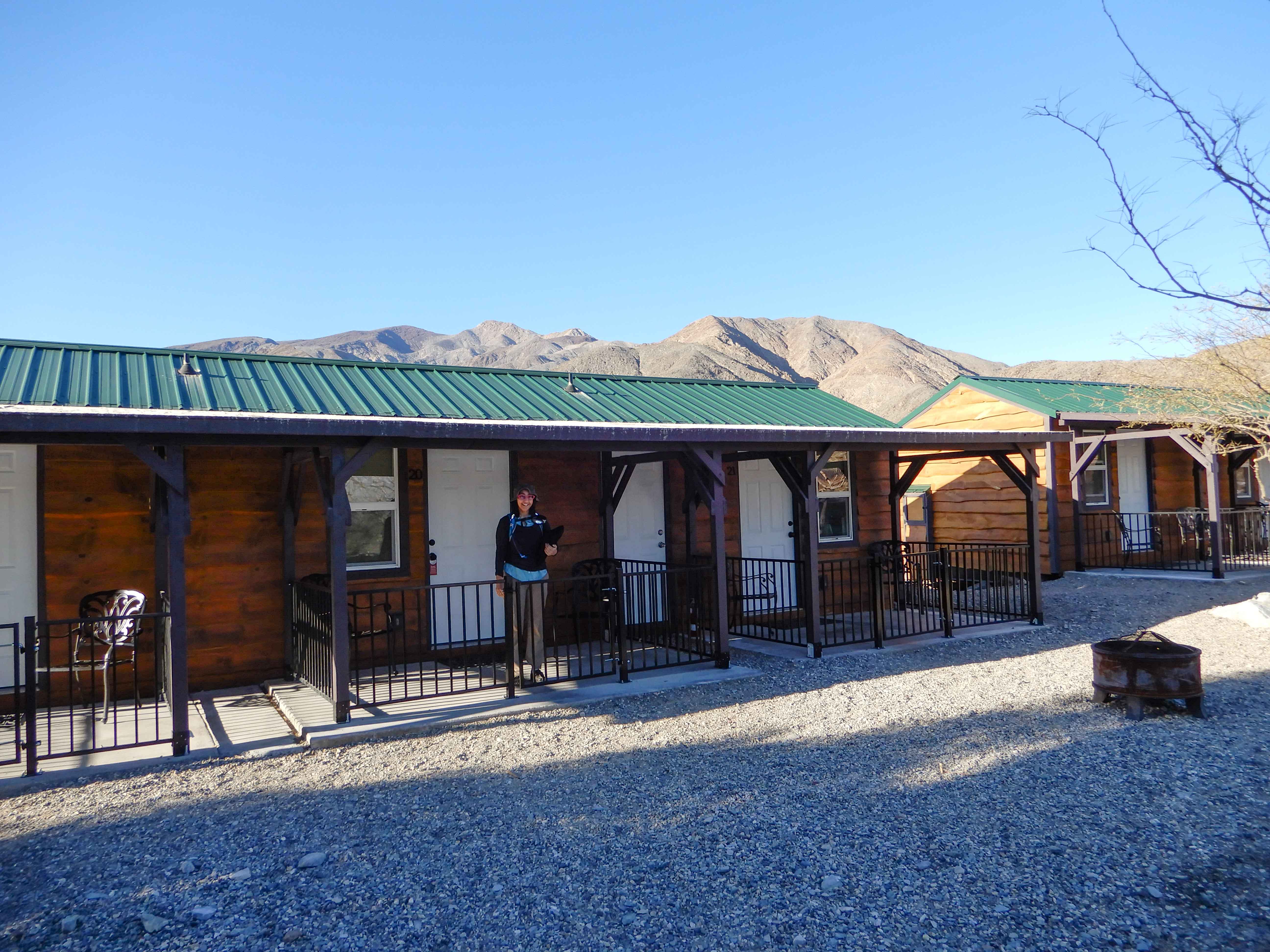
We drove back to the much cheaper (if more remote) Panamint Springs Resort to check in and have some time to celebrate our anniversary.
Eric took a picture of the row of cabins at the Panamint Springs Resort. Note the distinct lack of grass, even though there is actually a spring running through the property.
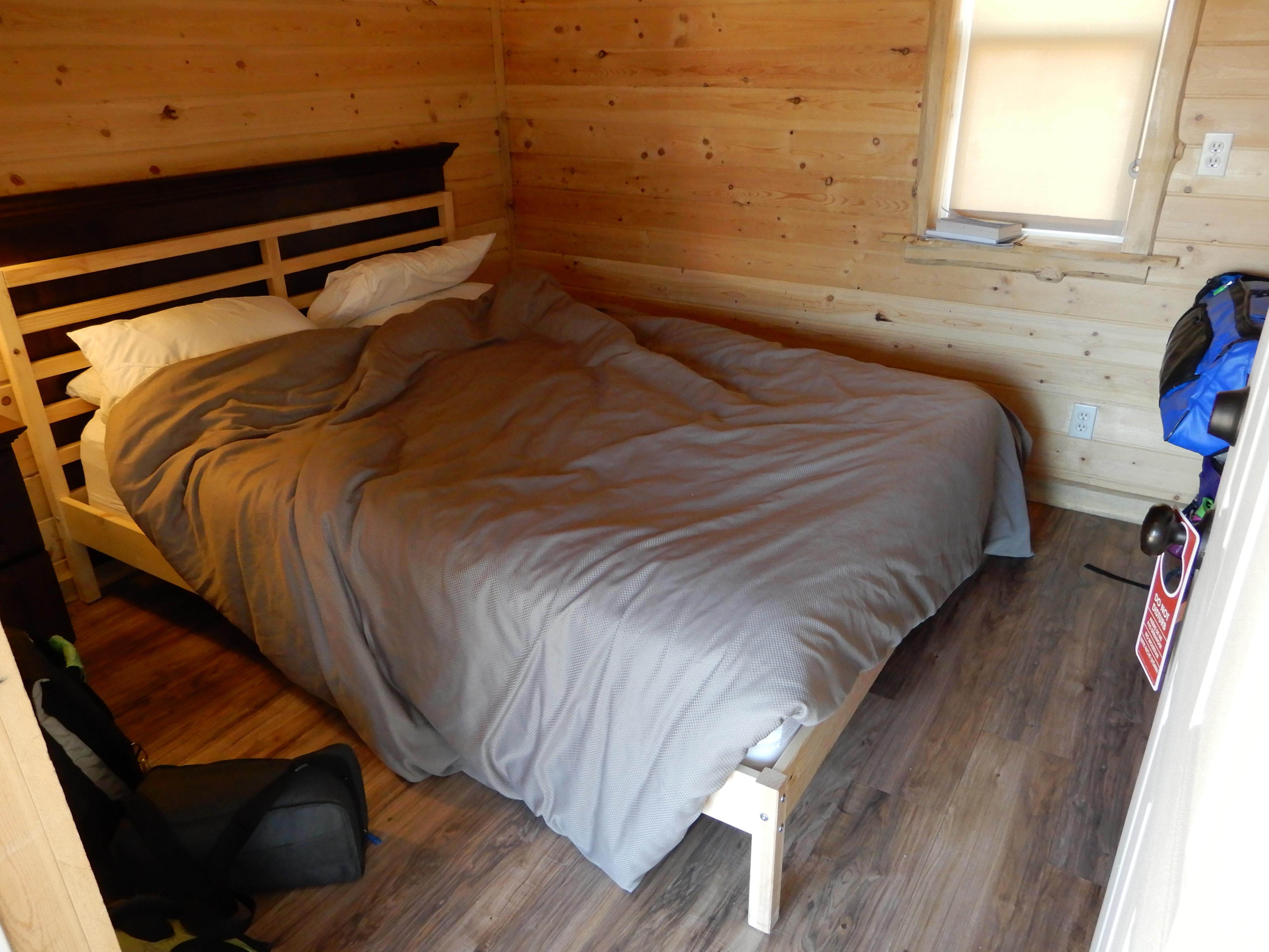
Our room was best described as "European-sized." Photo by Eric.
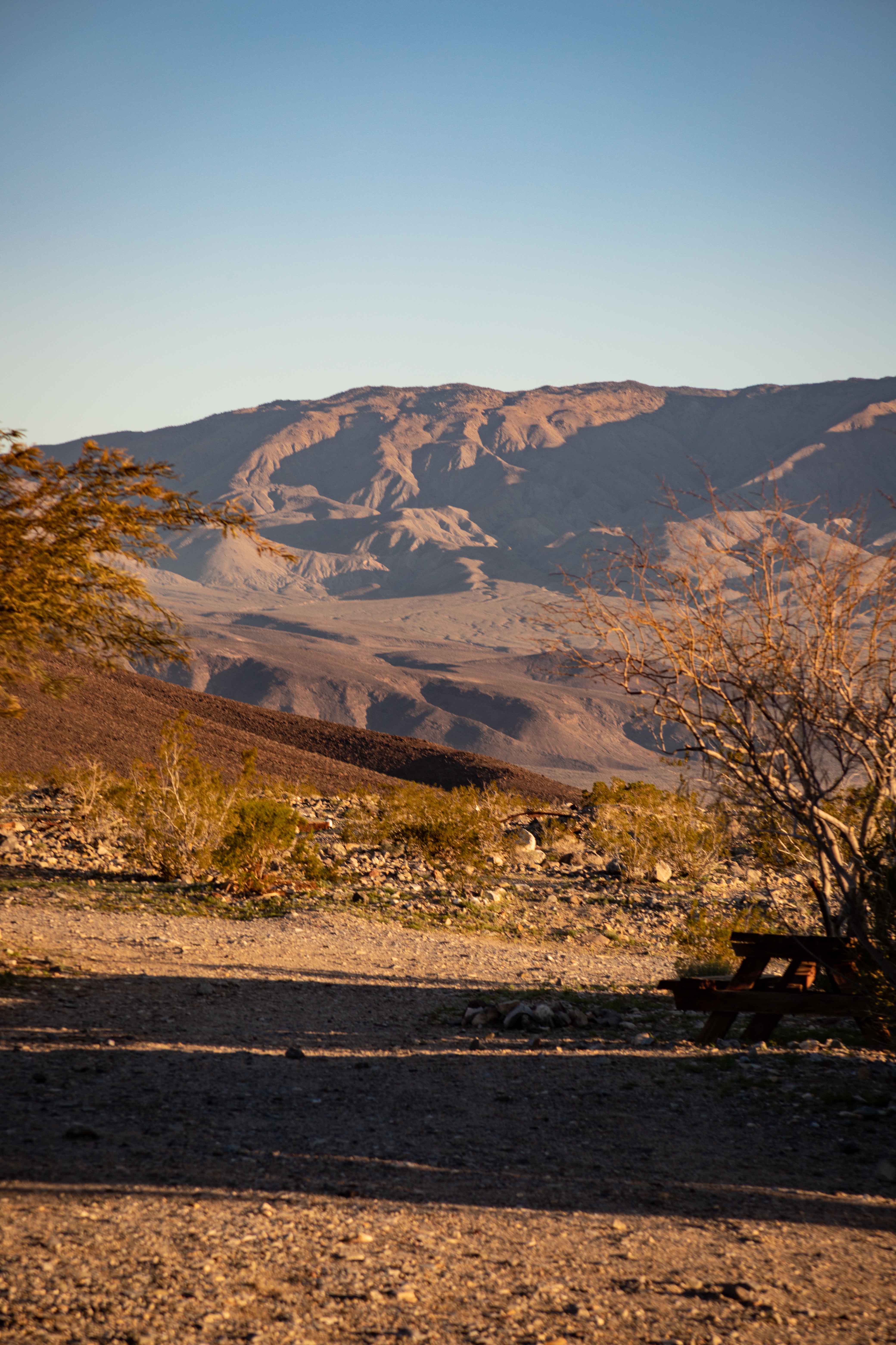
The area was rather pretty, though.
We had a reasonably nice dinner at the restaurant/bar at the resort. (There isn't anyplace else to fill your stomach, or your gas tank, for miles around.) The waiter was nice, although it seemed we got charged a little bit more than we expected for some things. The waiter also talked to us about Darwin Falls, the water source for Panamint Springs. He told us that "Panamint" meant "people of the water" and that this particular spot was actually not water-poor.
We indulged in a luxurious full eight hours of sleep. In the morning, I took the time to wash my hair. An unreasonable amount of time, because it took seemingly forever for my hair to absorb enough water for washing. Our room rate was supposed to include breakfast at the resort restaurant, but of course it turned out to be a little bit extra if your desired included something with any real nutrient density. I was pleased to overhear the waitstaff complaining to each other about the right-wing, Trump-supporting Inyo County newspaper.
Darwin Falls
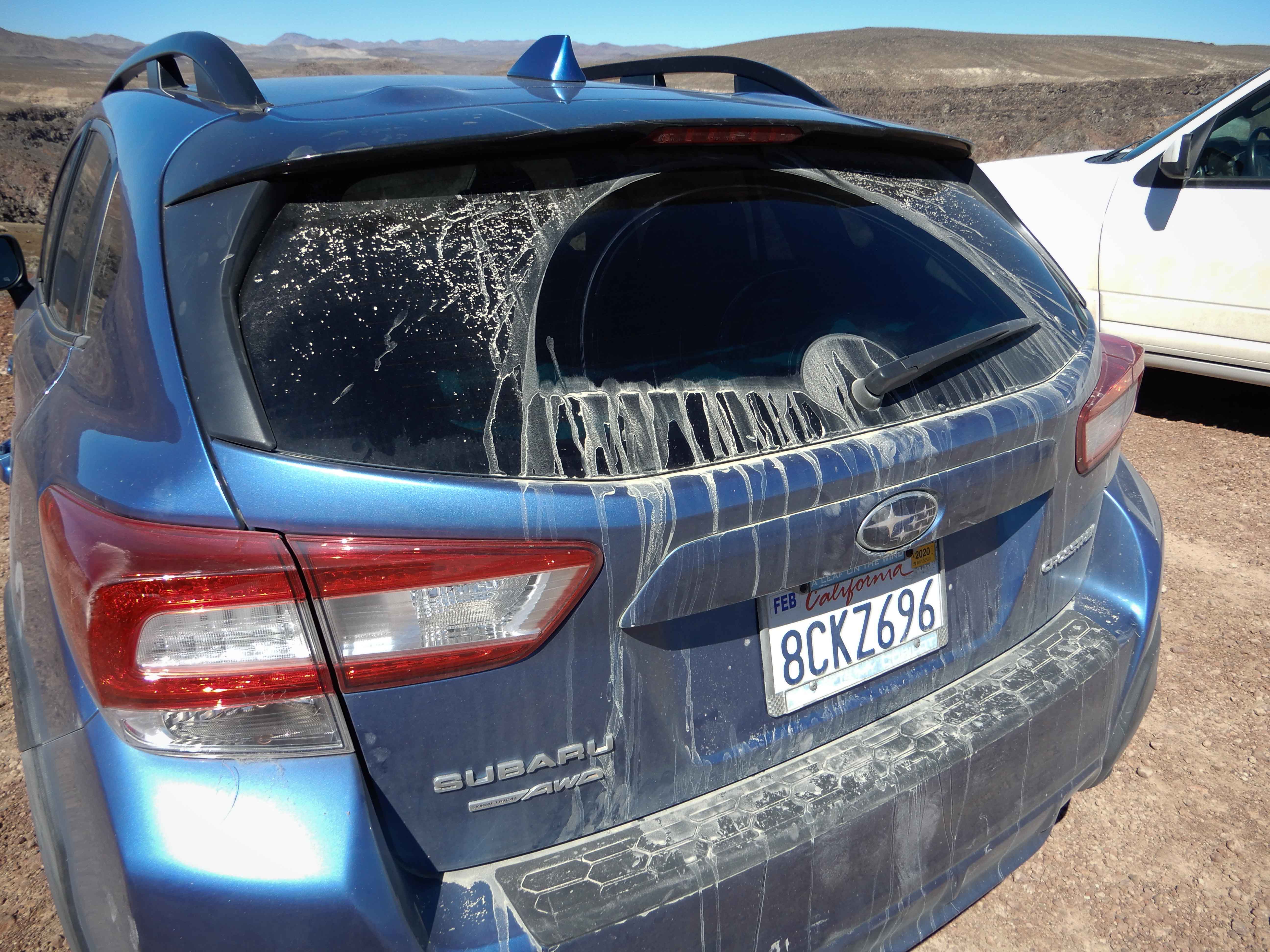
Of course, we couldn't take such an adventure trip without getting Mather dirty. We didn't drive on any roads on which we couldn't have driven Sydney, but the road out to Darwin Falls did ensure that Mather came home as dirty as a Subaru should be. Photo by Eric.
The trail up to Darwin Falls ran through a canyon with steep brown walls that were lovely but relatively indistinct for the area. It did involve some scrambling over rocks, after tromping through mud and getting one's boots wet, making hiking with my 7-lb/3-kg tripod a bit more challenging than usual. The trail was indeed popular, probably owing to its more accessible location; we saw many other hikers. The vegetation was surprisingly lush, and became more so as we approached the falls.
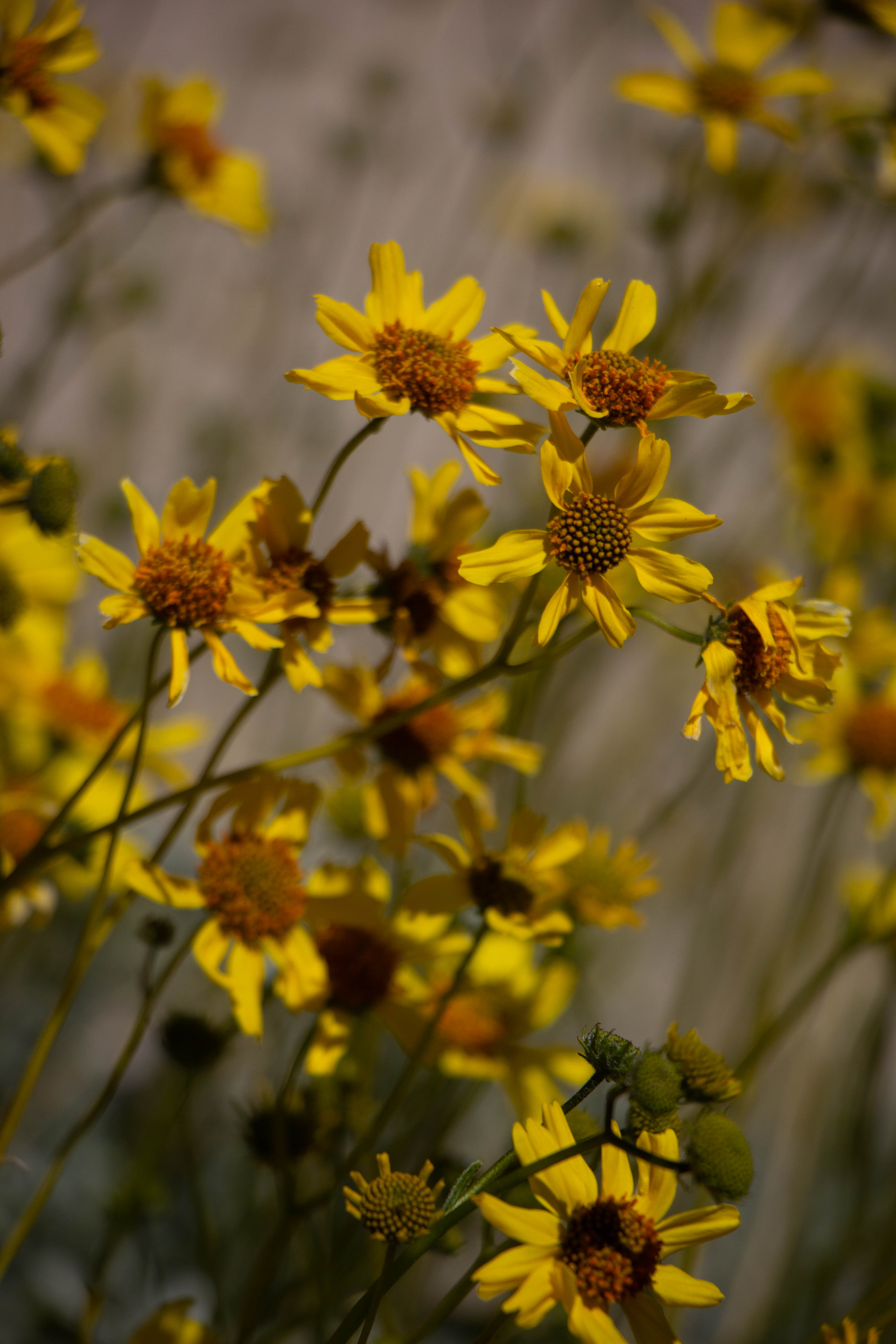
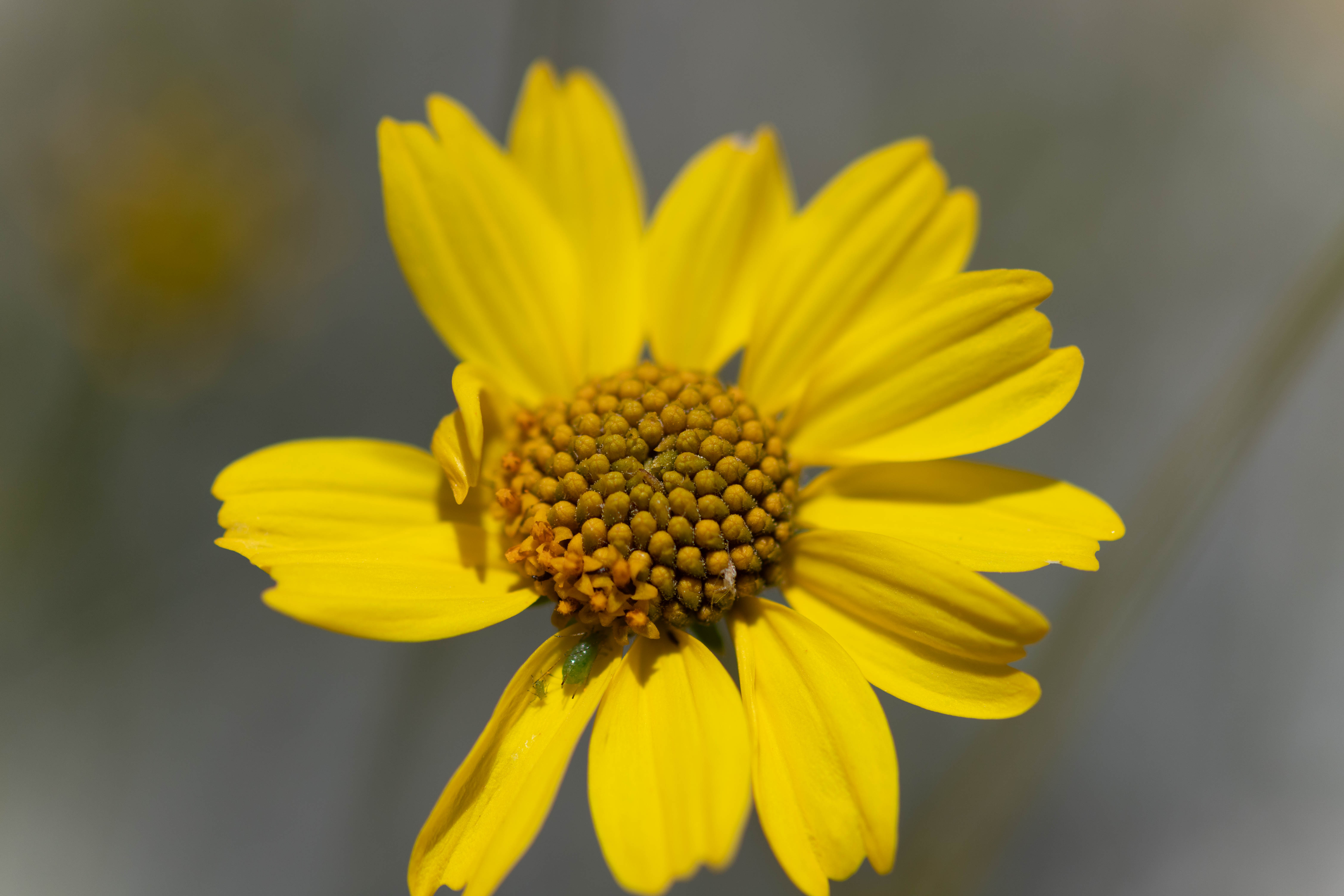
Eric photographed the endemic Panamint Daisies along the trail.
Of course, I needed to use macro mode.
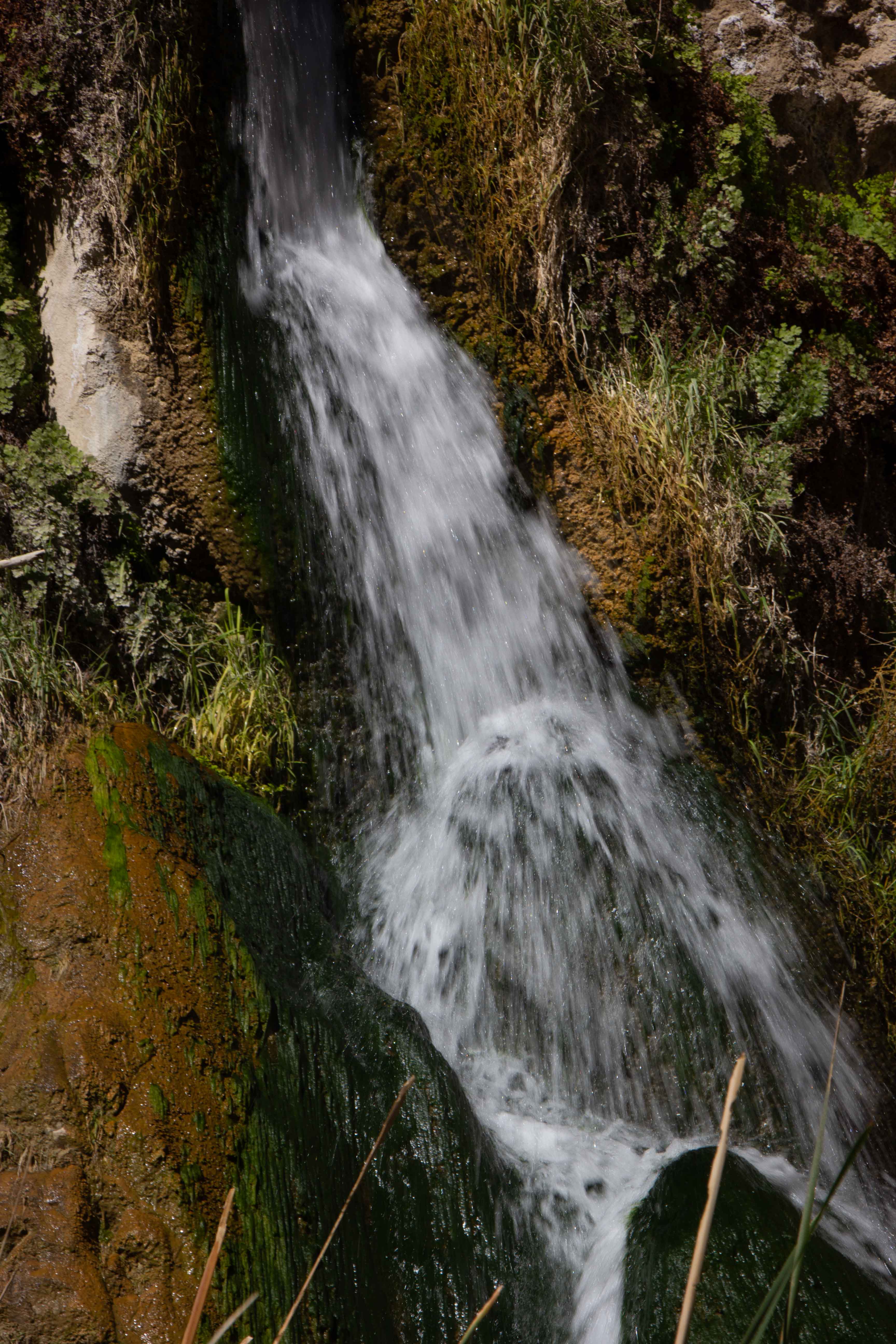
Full-flowing Darwin Falls did not disappoint.
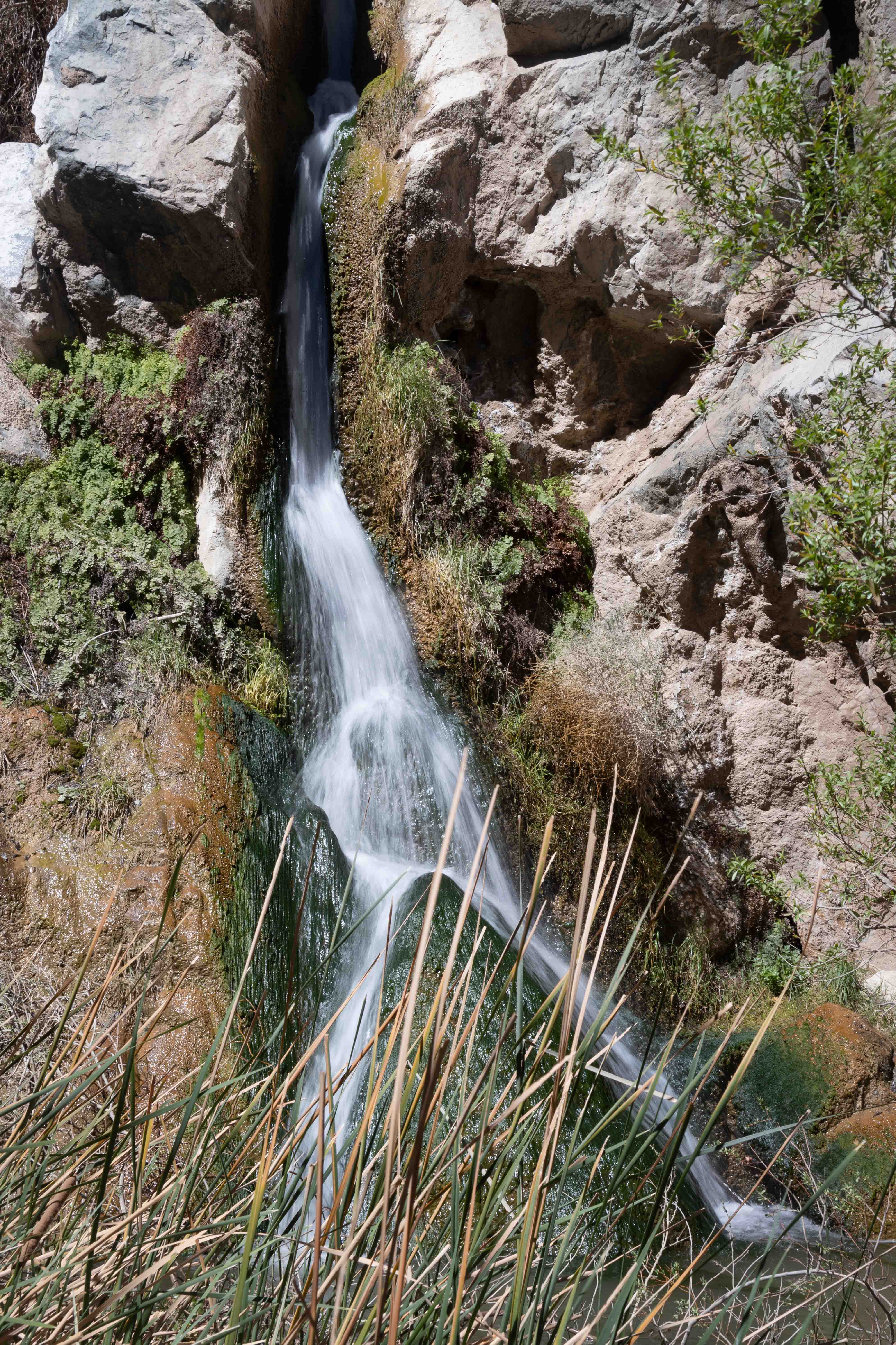
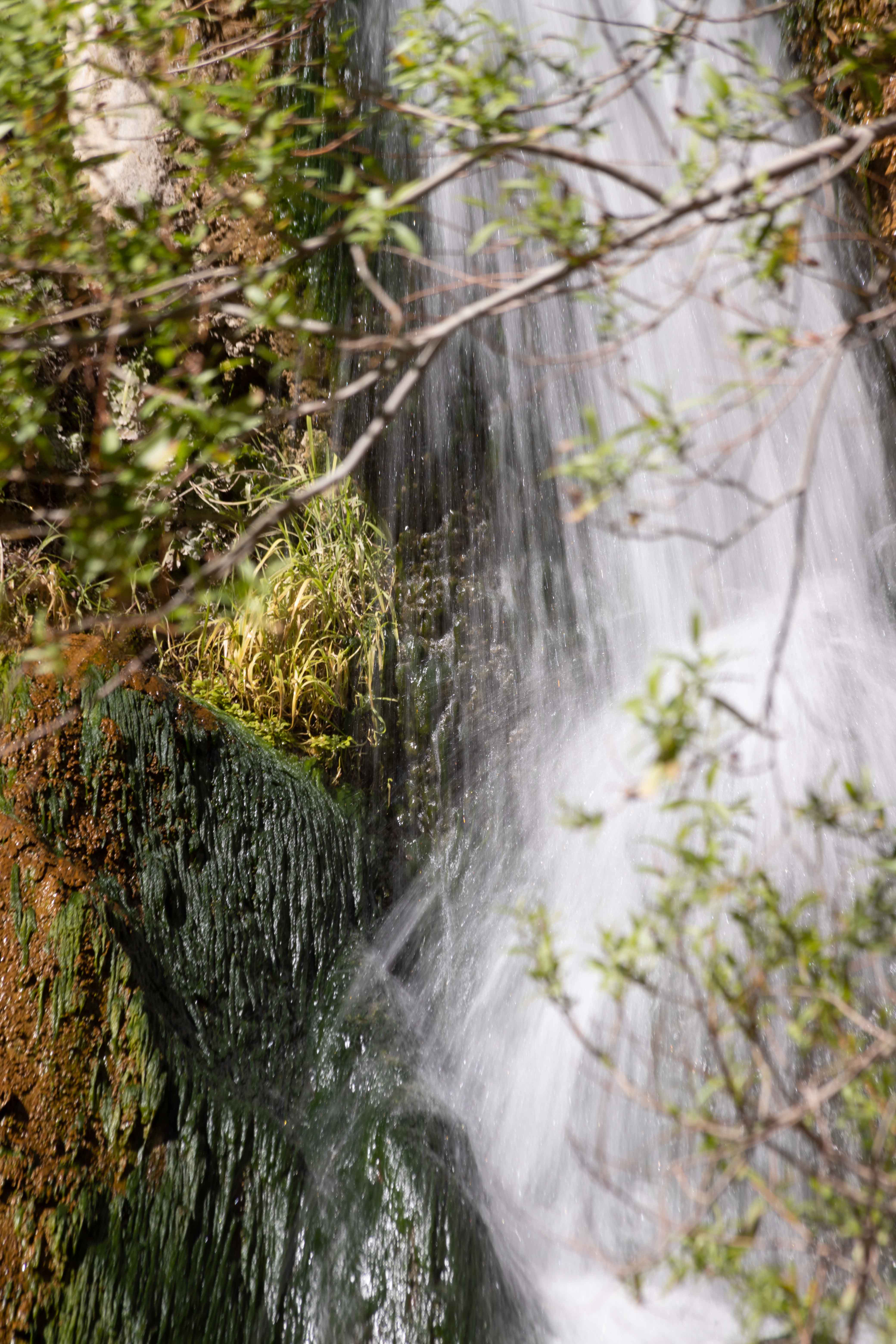
Eric took a somewhat closer-in view.
I tried to take more of an art shot, but, as Jeff Sullivan points out in Photographing California: Southern, the falls were obscured by a Cottonwood Tree.
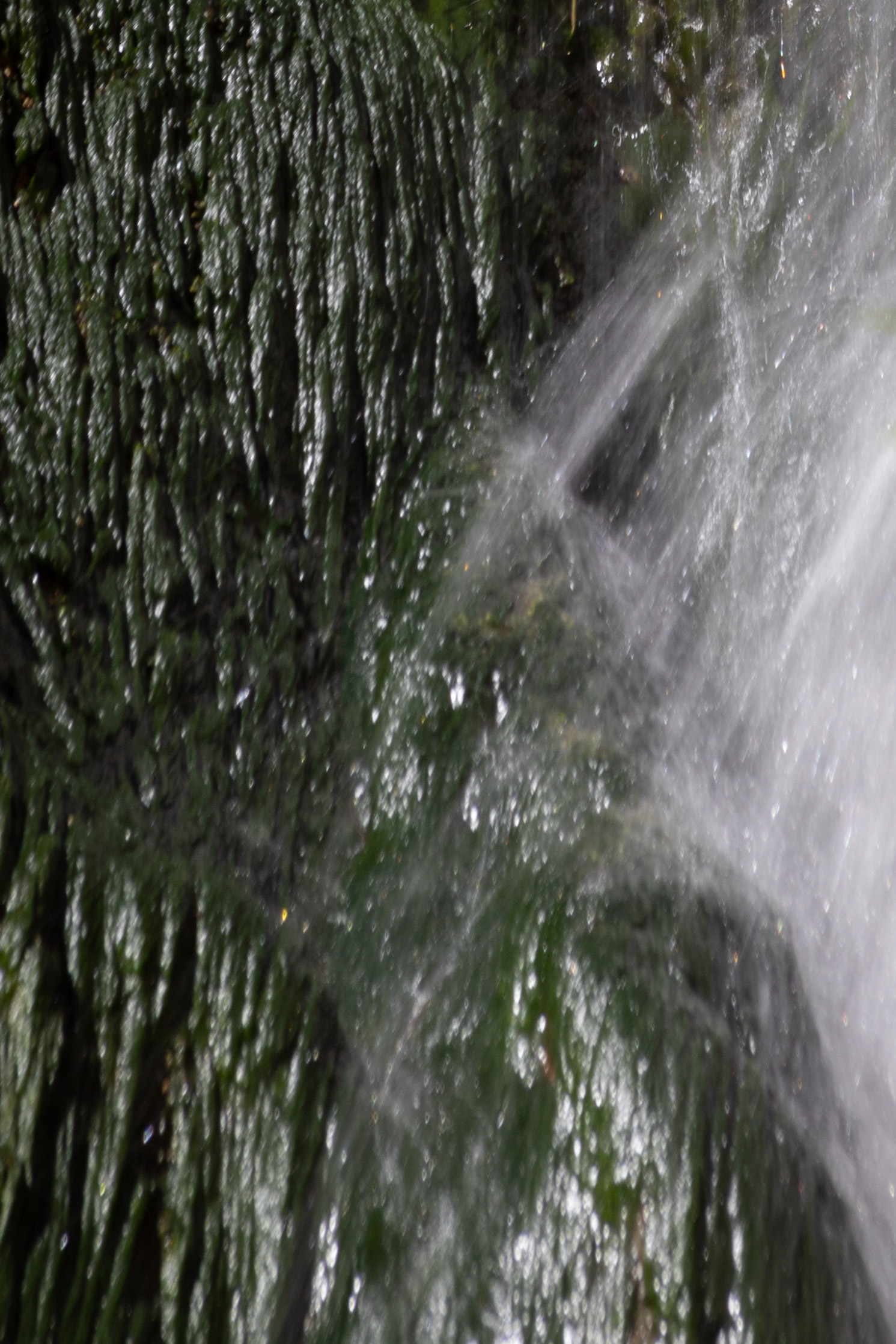
I cropped my photo into an abstract.
Jeff's book on California photography indicated that there were more falls beyond these falls, tempting me to climb up the rocks and hike a bit further. But the rocks were steep, and our relaxing morning had cost us some time, so it was time to begin the long journey back around the southern end of the Sierra and up through the Central Valley. We still had one more county to check off our geocaching list, Madera, less remote than Inyo but also less interesting to revisit.
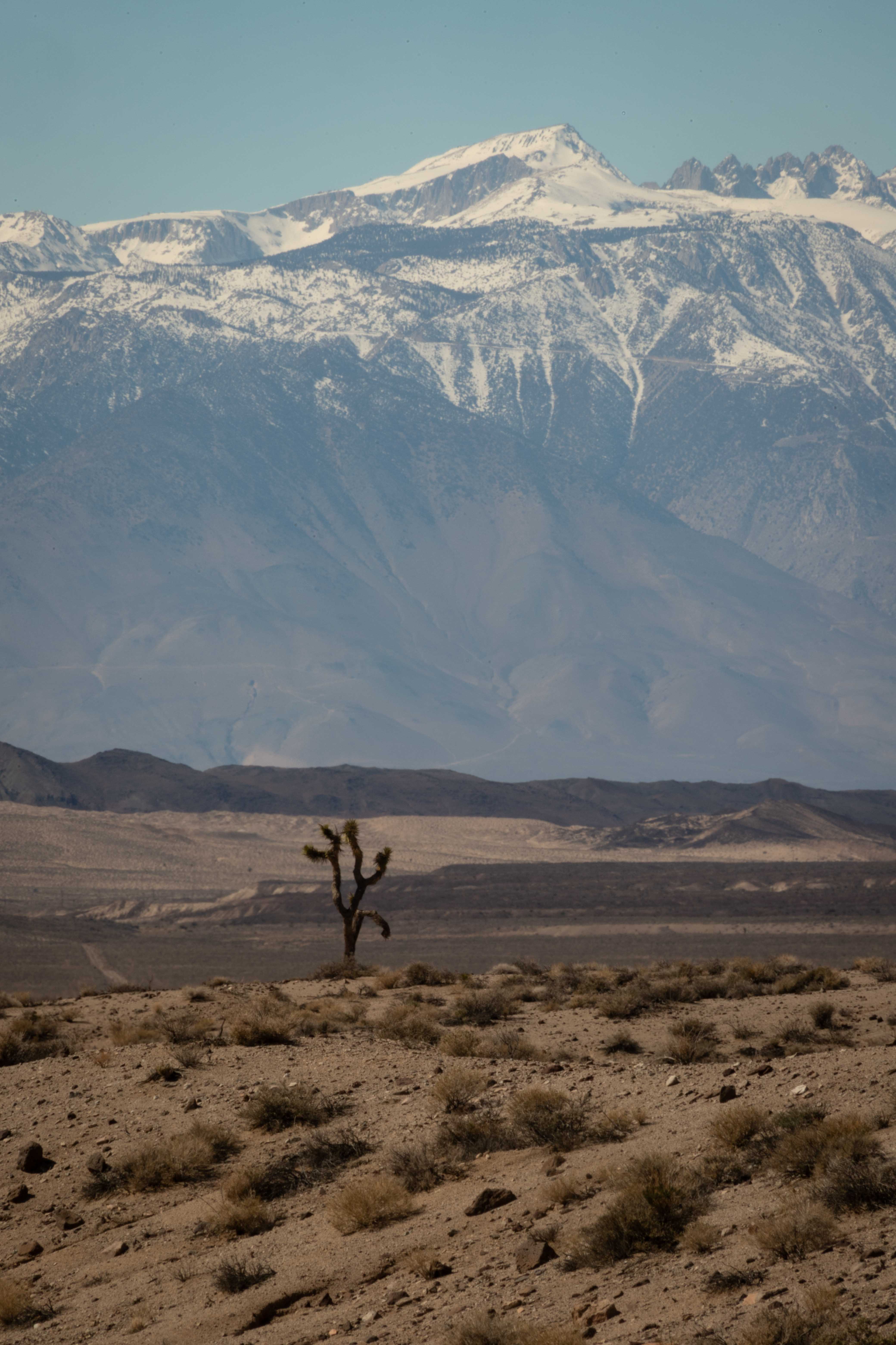
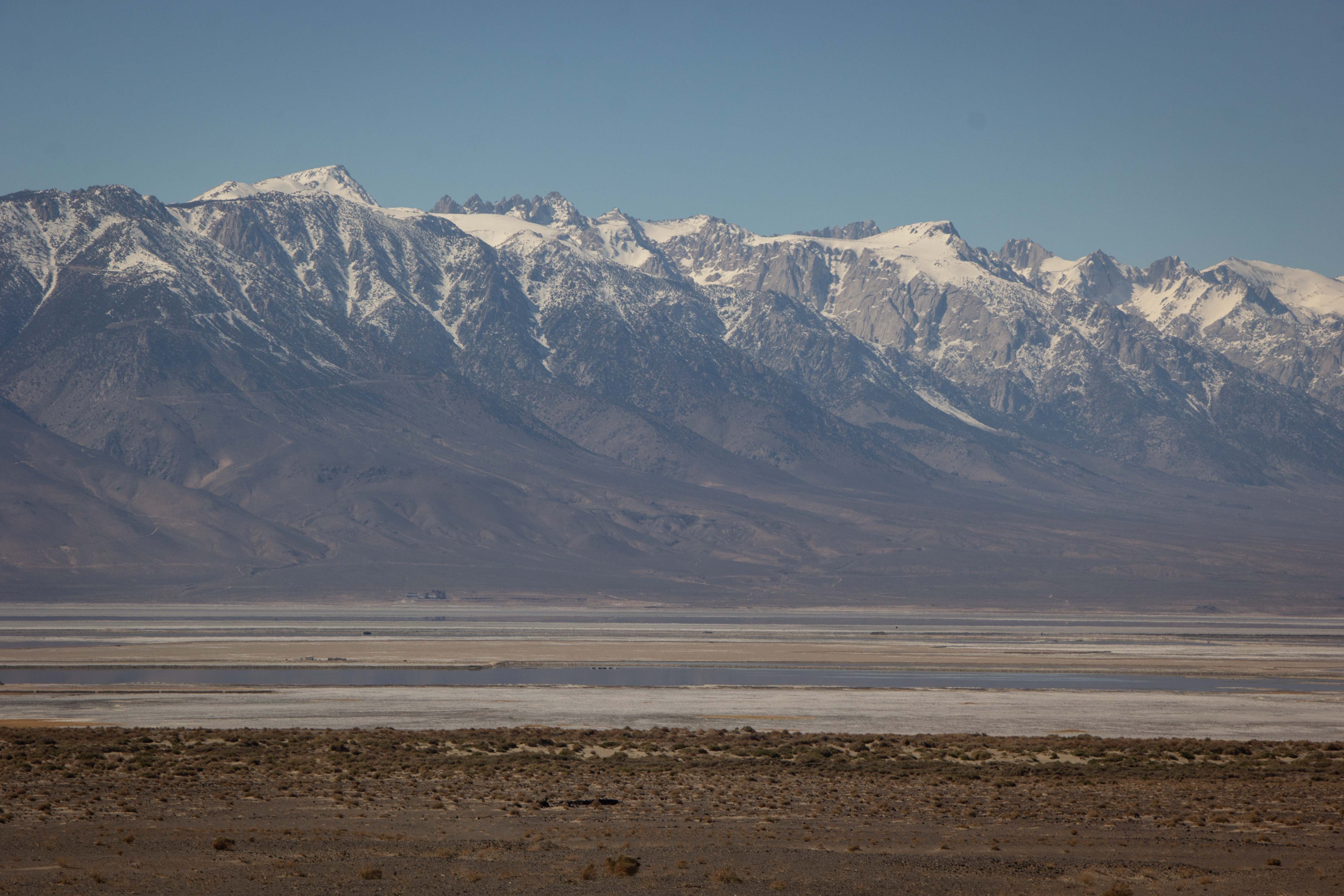
We had fantastic views of the Sierra Crest on the return trip, views that had been lost in haze on our trip out. We couldn't resist stopping by the side of the road to photograph the dramatic peaks. We thought we might be seeing Mt. Whitney, the highest peak in California, but we are not sure. I captured this Sierra peak with an incongruous Joshua Tree in the foreground.
Eric photographed the Sierra crest with this salt flat in the foreground. But this is not a natural salt flat like Badwater Basin. This is the site that was formerly occupied by Owens Lake, stolen and drained by the City of Los Angeles.
We've now visited 26 national parks together, celebrating 30 years of our relationship. Timbisha's extreme but serenely beautiful environment was absolutely a worthy place to mark the anniversary of such a life-changing event for us.