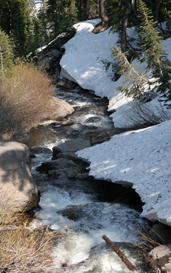
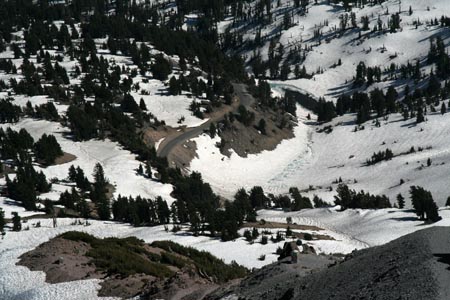
We hiked a ways through a meadow along a snow-covered, difficult to follow trail. Mostly, we just followed the creek itself.
This was the third trip that Eric and I have made to Lassen Volcanic Park in northern California. Lassen Peak is a volcano that erupted several times between 1914 and 1917. Until Mt. St. Helens erupted in 1980, Lassen was the prime geological site for the study of recovery from volcanic devastation. State Route 89 runs north-south along the west side of the park, and is a bit of an interpretive driving trail. There are several stops along the way where you can see interesting geological sites, such as a giant rock, the Devastated Area, the Chaos Jumbles (a large pile of fascinating rocks) and the still-steaming Sulphur Works. On our first trip, we hiked down to a wonderful pit of volcanic vents called Bumpass Hell. Unfortunately, we did this in pouring rain. On our second trip, we planned to scale Lassen Peak, but didn't get up early enough to do such a long and strenuous hike, and ended up hiking to some pretty lakes instead. This time, we camped in the park, acclimated ourselves to the altitude, and climbed up to the top of the 10,457-foot peak (from a trailhead at 8,500 feet).
We hiked a ways through a meadow along a snow-covered, difficult to follow trail. Mostly, we just followed the creek itself.
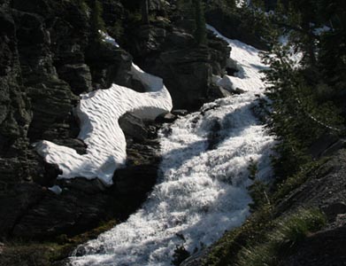
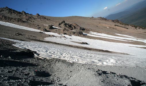
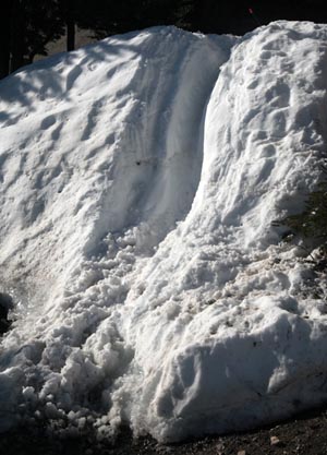
The snow made interesting patterns.
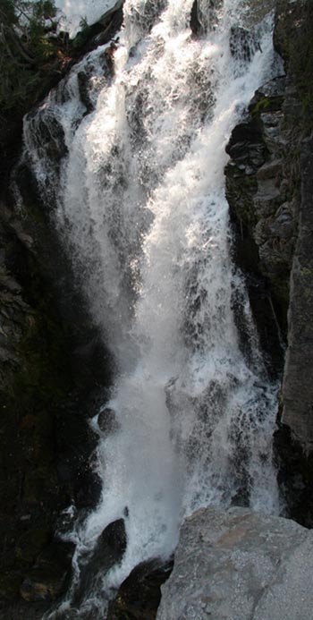
After a steep descent, we encountered the lovely falls.
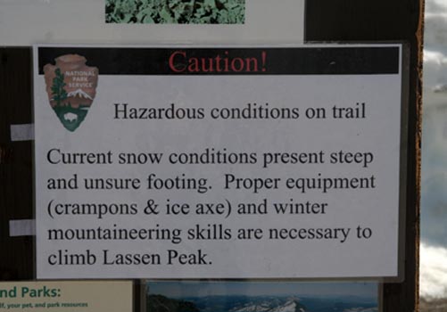
There was a sign warning us of the difficulty of the trail, but since the ranger hadn't told us we'd need specialized equipment, we ignored it.
Although it was somewhat difficult hiking through the snow, it did make some incredibly fascinating patterns.
The park was formed not just by volcanism, but by glaciation as well. Here, you can see evidence of the glaciation.
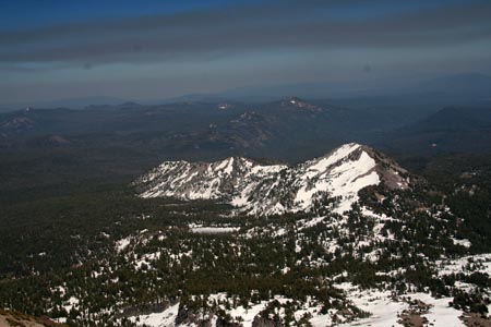
Reading Peak is where the glacier stopped moving south. Here, you can see the glaciated basin uphill from Reading Peak.
And here is a close-up of Reading Peak.
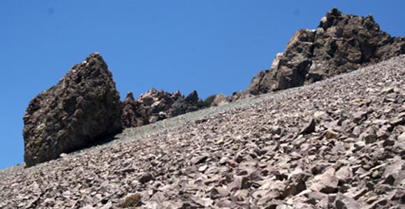
One prominent feature on the side of Lassen are these spines. Apparently these spines are formed by lava shooting up out of the volcano.
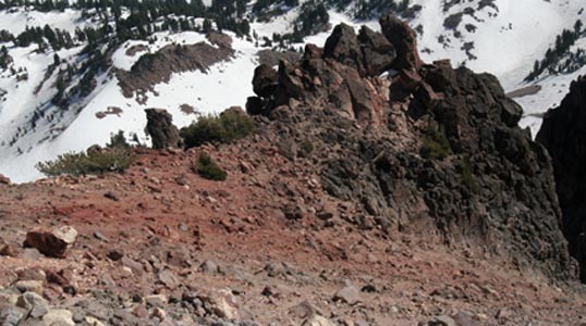
This is what the spines looked like from the high side.
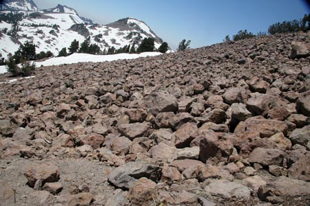
As time passes, bits of them break off, forming these fields of rocks, called talus.
The signs indicated that the entire area of Lassen Volcanic Park was once part of an giant, ancient volcano called Mt. Tehama, which collapsed onto itself about 350,000 years ago.
Brokoff Mountain is a remnant of Mt. Tehama.
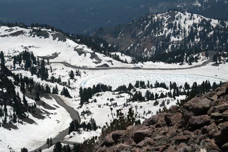
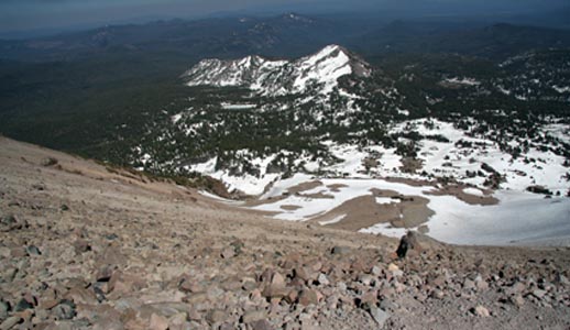
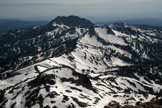
As we reached higher elevations, the views became more and more expansive and impressive. They were actually similar to what you see in Yosemite.
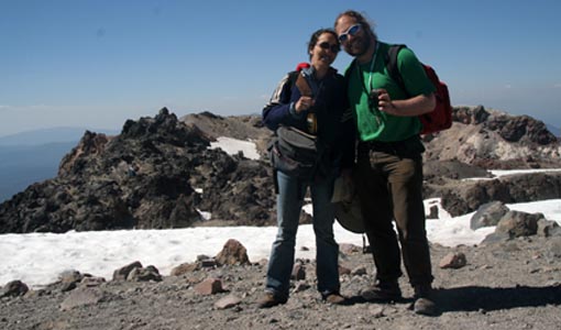
After about three hours of hiking, we finally reached the summit!
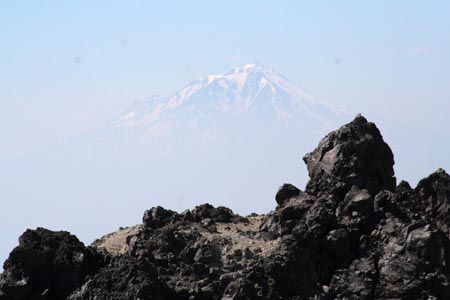
The views were tremendous, and we could even see Mt. Shasta peeking out of the smoke.
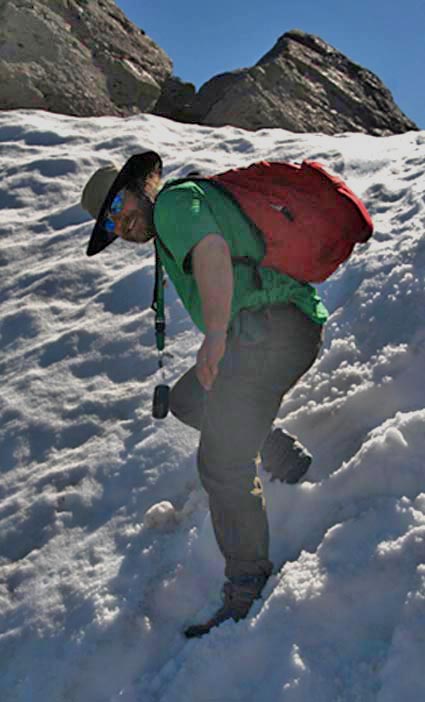
While the descent felt easier than the ascent, the snow was slippery.
This spot was particularly difficult.
But it was getting late in the day, so there were fewer other hikers, and the lower angle of the sun made the views especially pretty.
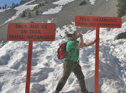
Eric struck a butch pose between the scary warning signs indicating the difficulty of the trail we'd just conquered.
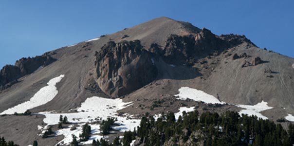
From the car, I got a lovely shot of the west side of Lassen Peak.
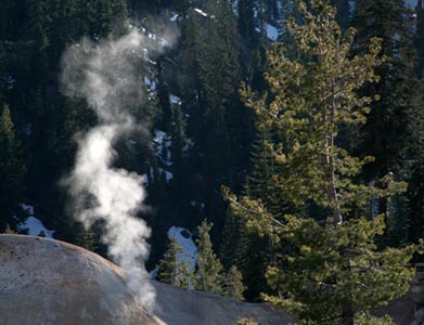
We also stopped briefly to see the Sulphur Works. This is a vent left over from ancient Mt. Tehama. You can still see the steam coming out of it.