Travel to and from Craters of the Moon
15-16 June, 2013
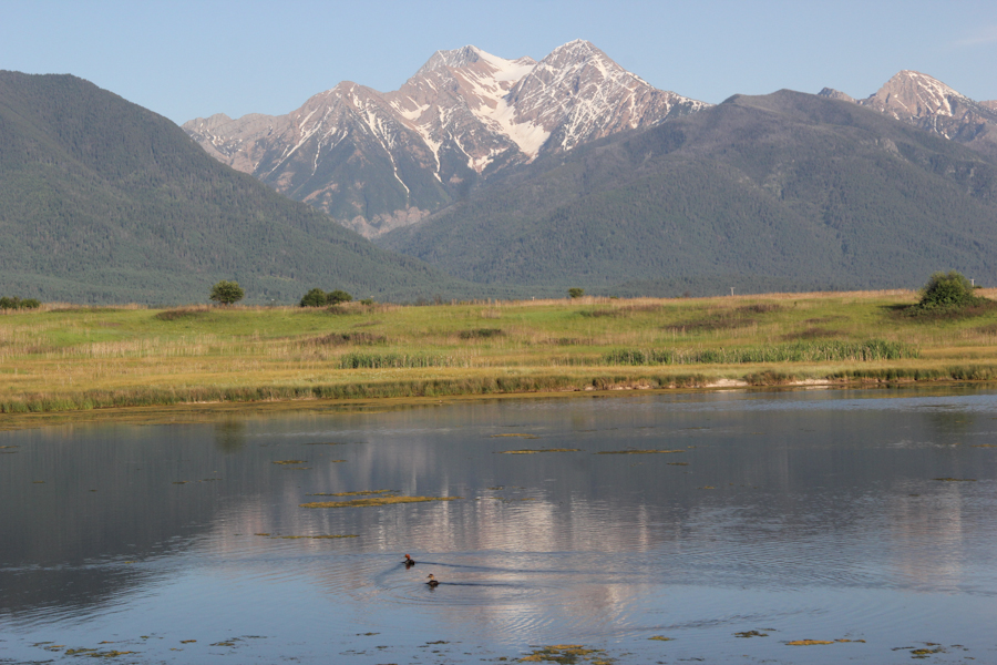
A Mission Range mountain reflected in a geologic formation called a kettle pond. The mountain, with its carved ridges filled with snow, is an excellent example of glaciation.
Roadside Geology of Montana tells us that these kettle ponds formed when large chunks of ice left behind by the glacier melted. The ducks in the pond are Redheads.
We had two long sections of travel on this trip--northbound on US 89 and I-15 from Yellowstone to Glacier, and southbound on US 93 from Glacier to Craters of the Moon. In both directions, we crossed the path Lewis and Clark took. I tried to break the drives up, with overnight stays in interesting locations. On the northbound side was Great Falls, MT, with the Lewis and Clark Interpretive Center, and on the southbound side was Missoula, MT, home of the University of Montana and known to be a cute college town. Underestimating the time we would need in Yellowstone and Glacier, I tried to plan two completely leisurely days for each drive, and looked forward to some slowed-down time and some fun finding physical caches without being in a rush. Of course, this didn't happen, and we ended up with only about a day for each drive, although the day was broken each time into an afternoon and a morning (or, more realistically, a mid-to-late afternoon and a late morning to midafternoon).
As excited as we were about seeing the Logan Pass, and as much as we wanted to drive the entire way we could on the western part of the Going-to-the-Sun Road, Lulu was telling us that we were going to get to Missoula too late if we didn't get out onto 93. Lulu later changed her mind and gave us another hour. While we would rather have spent some of that time getting to the road closure sign on the Going-to-the-Sun Road, at least we had a little time at Flathead Lake.
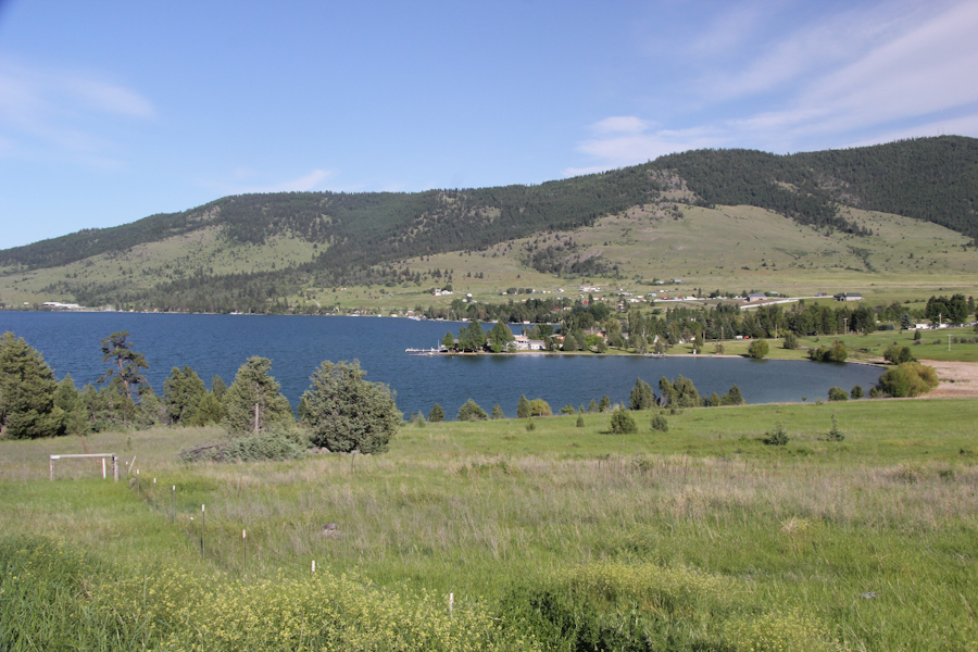
Flathead Lake, the largest in western Montana and home of five state parks. We were looking for a cache at West Shore State Park.
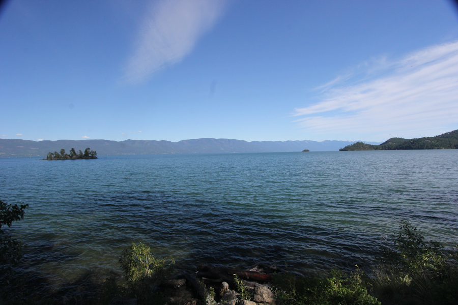
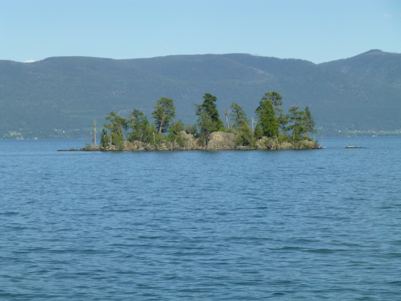
I think this is Wild Horse Island, which is state park in itself, accessible only by boat.
Flathead Lake from the south end, at Polson.
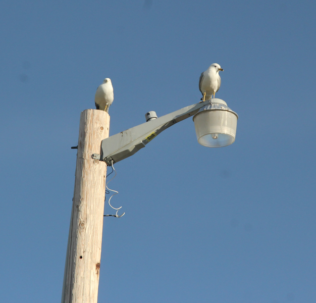
Gulls? In Montana? We were considerably south of Flathead Lake here, in the Mission Range.
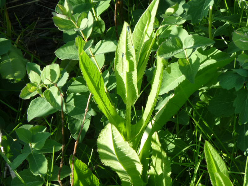
Eric took a picture of a camouflaged insect.
We arrived in Missoula, MT, around 20:30, just as I'd planned. We saw this prominent emblem of the University of Montana.
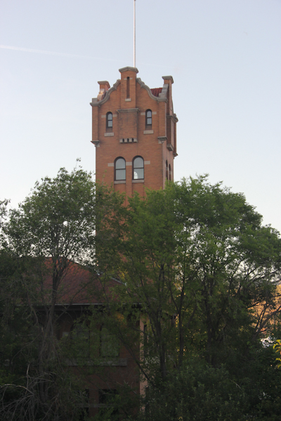
A building that just said, "Missoula" on the side. It looked like it might be some sort of natural history museum.
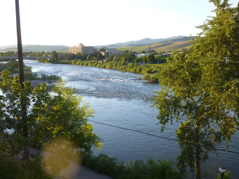
Clark Fork River, which runs through Missoula. Photo by Eric.
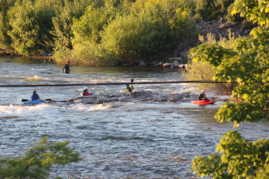
Kayakers in the river.
A park on the side of the river. Photo by Eric. It was a nice, warm night, and plenty of people were about even through school was probably out for the season.
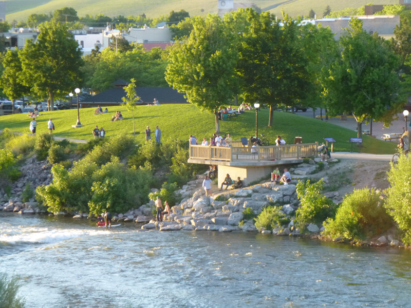
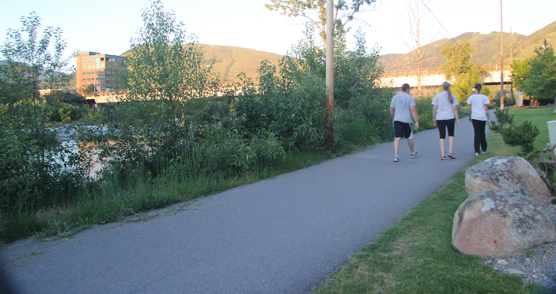
There are nice walking/biking paths on both sides of the river.
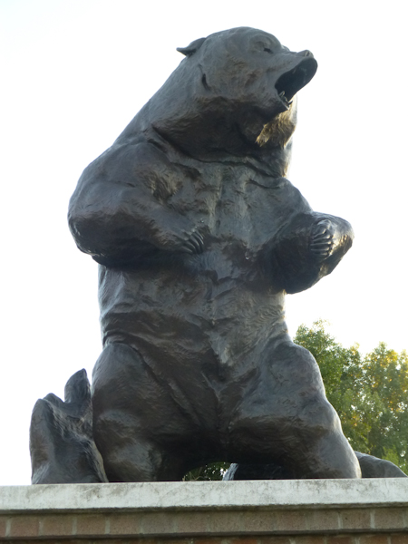
A memorial to Teddy Roosevelt and his conservation efforts. We found a cache here.
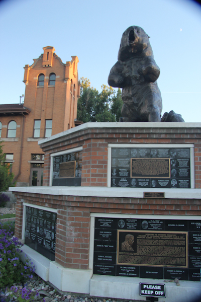
Eric took a picture of the bear.
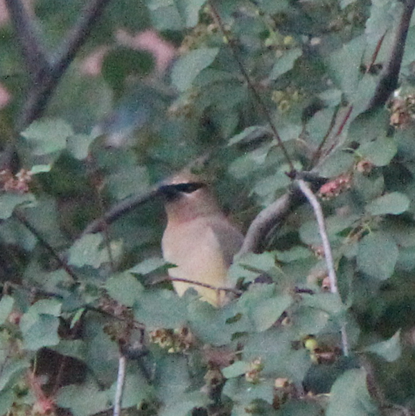
I saw this cute little bird in a tree, and I think it is the Cedar Waxwing that I saw in Great Falls.
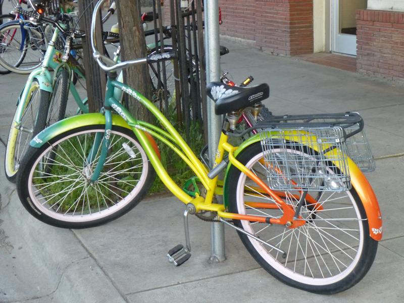
Eric took a picture of this rainbow-striped cruiser downtown. Apparently, there is a lot of cycling in Missoula, at least in the summer.
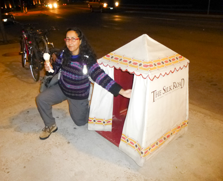
We had a tasty dinner at a tapas place called The Silk Road that was recommended by the people at our motel. They had foods from many different places around the world, with very tasty sauces. Eric took my picture in front of their little tent sign.
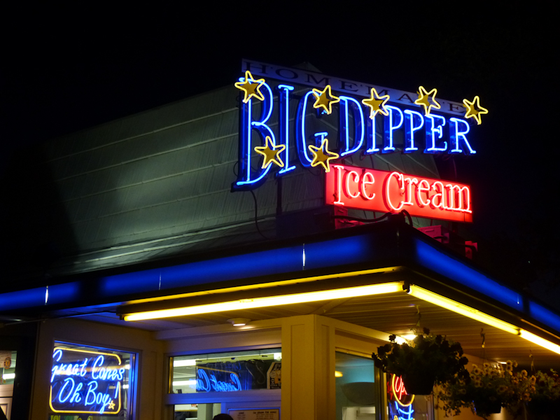
We had seen a sign saying "homemade ice cream." We inadvisedly waited in a long line to get some of that yummy homemade ice cream. On the recommendation of another patron at The Silk Road, I had cardamom to go well with our dinner. Photo by Eric.
Our room at Ruby's Inn. It wasn't in a cute downtown neighborhood, but the room was nice and big, and only $66 prepaid on Expedia. A good breakfast had been promised, and it was indeed better than Super 8's, but not as good as breakfasts we paid for separately. The wi-fi was great.
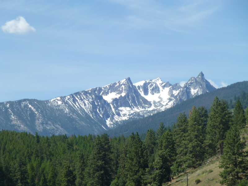
In the morning, we headed out into the Bitterroot Mountains.
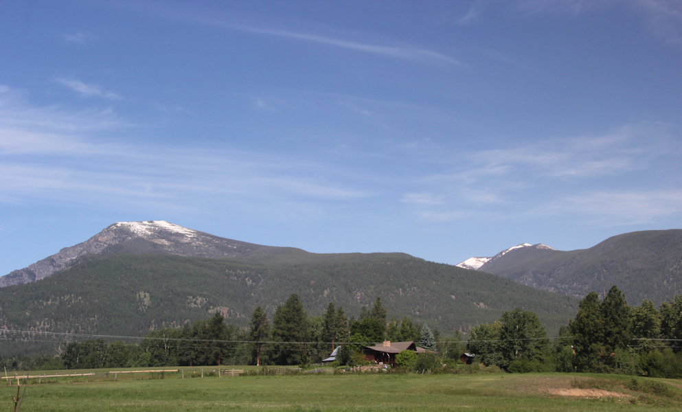
Our friend Lars told us that, in his youth, he climbed most of these peaks.
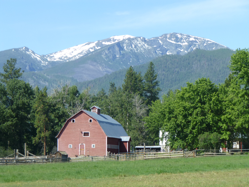
More Bitterroot peaks.
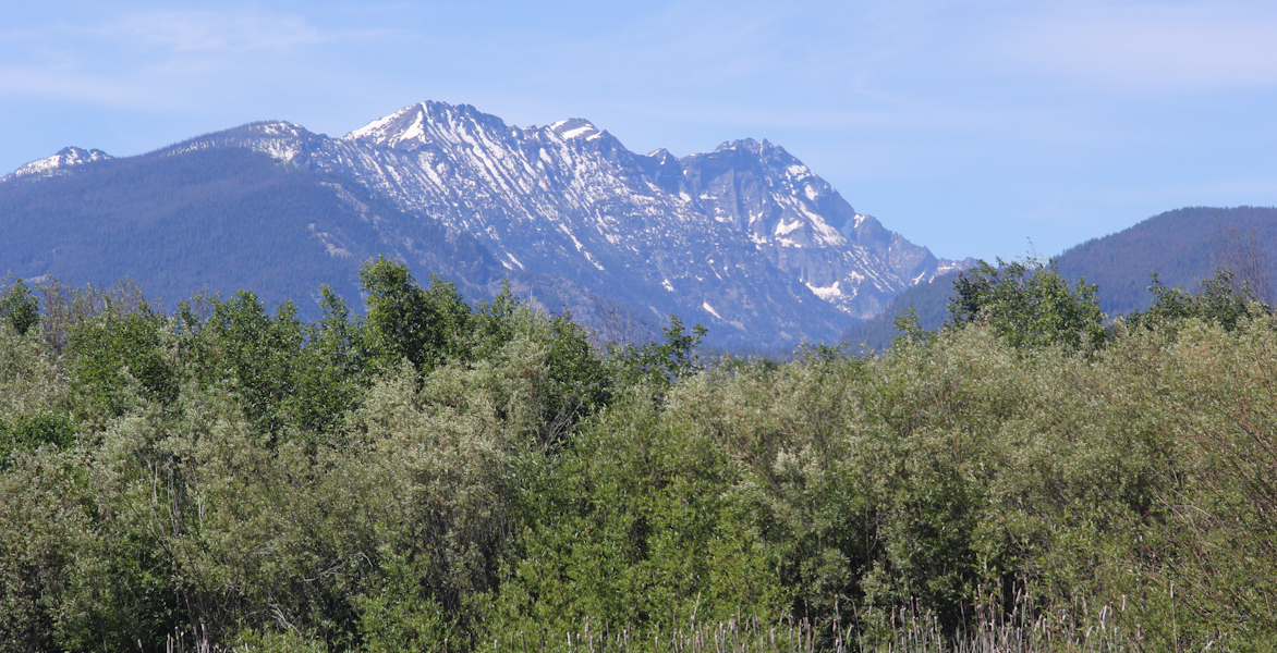
Trapper Peak. Photo by Eric.
Ross' Hole, where the Corps of Discovery camped on September 4, 1805. Clark wrote in his journal, "Those people [the natives] receivd us friendly, threw white roses over our sholders & smoked in the pipes of peace, we encamped with them and found them friendly."
Igneous rock outcroppings from the Idaho Batholith, some very, very old rock.
We looked at the gift shop (which really didn't have any Lewis and Clark commemorative gifts, but did have the wi-fi we needed to solve a geocaching puzzle to find some of Lewis and Clark's camps). The woman there (who looked and sounded like she had spent her life smoking way too many cigarettes) told us that they had expected large crowds coming through for the bicentennial of the Corps of Discovery, but that it had been a big bust. This is a shame, since this is such a fascinating part of American history. Since Lewis and Clark did successfully return to St. Lewis with their diaries intact, much information about their expedition survives today, so it gives us a great glimpse into history.
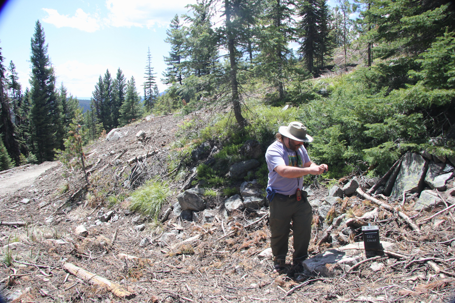
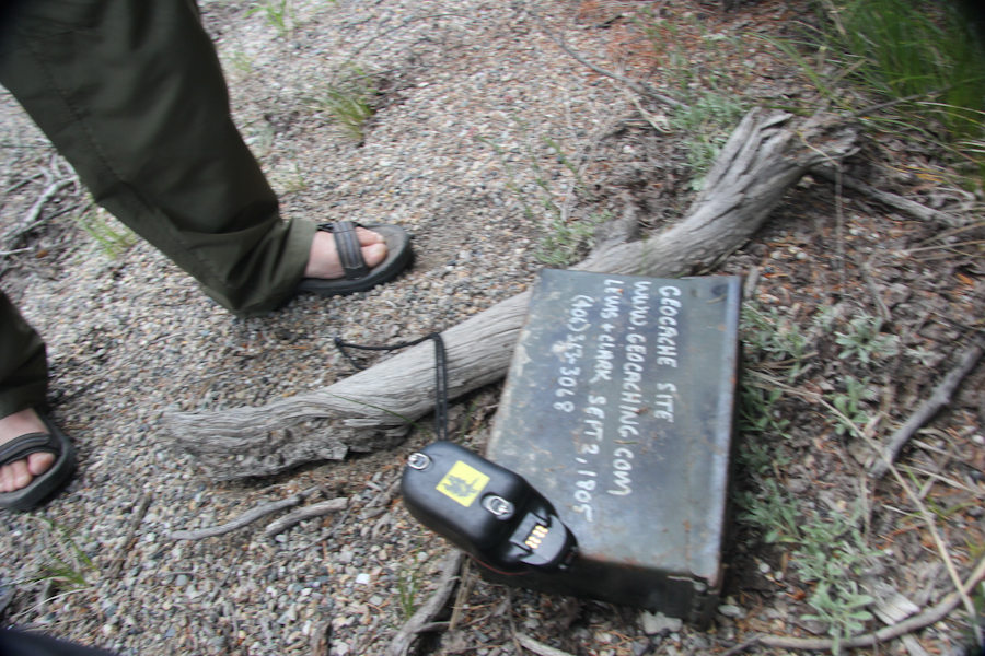
Eric finding a geocache where Lewis and Clark camped at the Lost Trail Pass. Our friends were having a pretty hard time here, trying to figure out how to cross the Continental Divide.
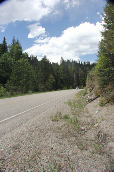
We have it much easier today with the highway. We just drove through this beautiful place on the highway. At the Continental Divide, we crossed into Idaho, another new state for us.
There is much controversy about exactly where Lewis and Clark spent the night of the 2nd of September, 1805. There was a historic sign in one place, and we found this geocache in another.
It's this entirely nondescript spot by the side of the road. They spent the night somewhere along where the highway now goes, in any case.
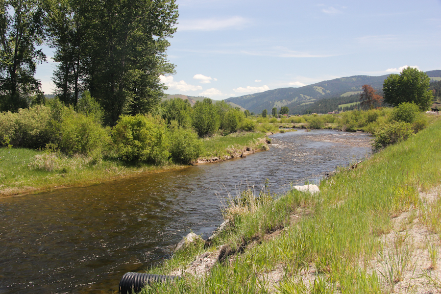
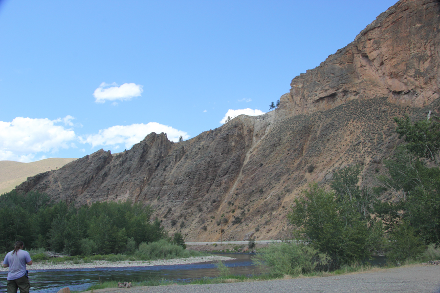
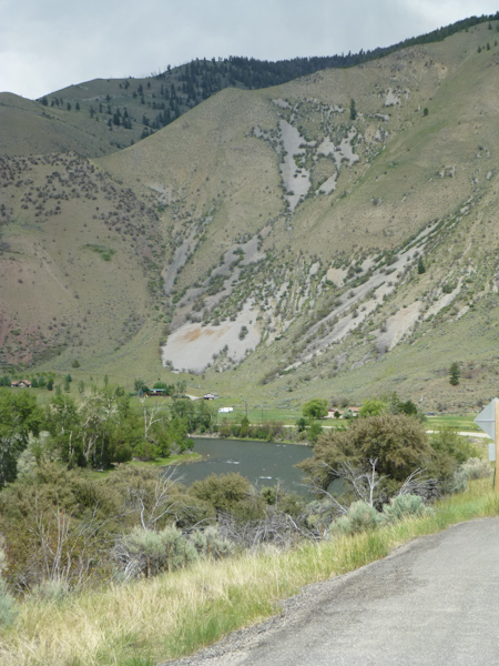
The Salmon River, in a little park beside the highway called Red Rock.
More mountains.
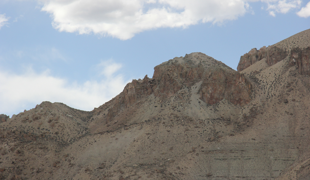
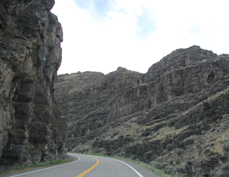
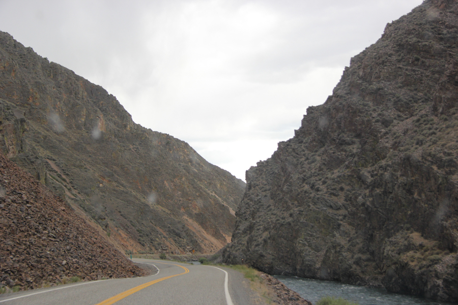
The road cuts its way through a dramatic canyon. I took these pictures out of the window.
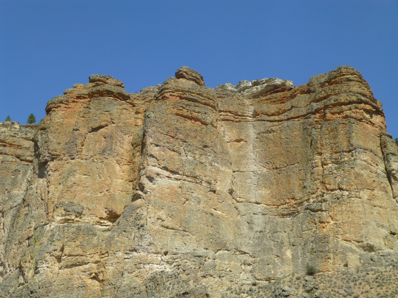
More rock formations. Photo by Eric.
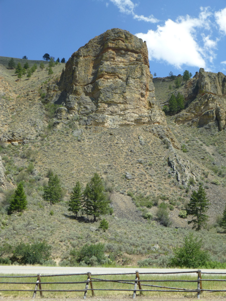
Photo by Eric.
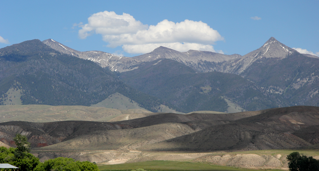
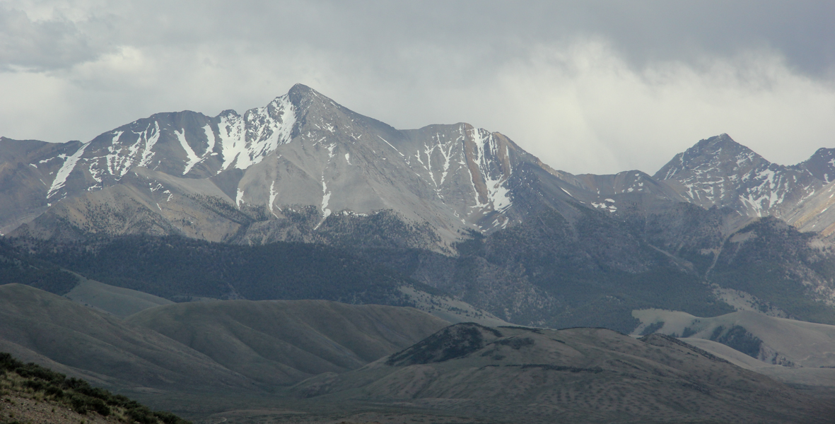
Yet more mountains.
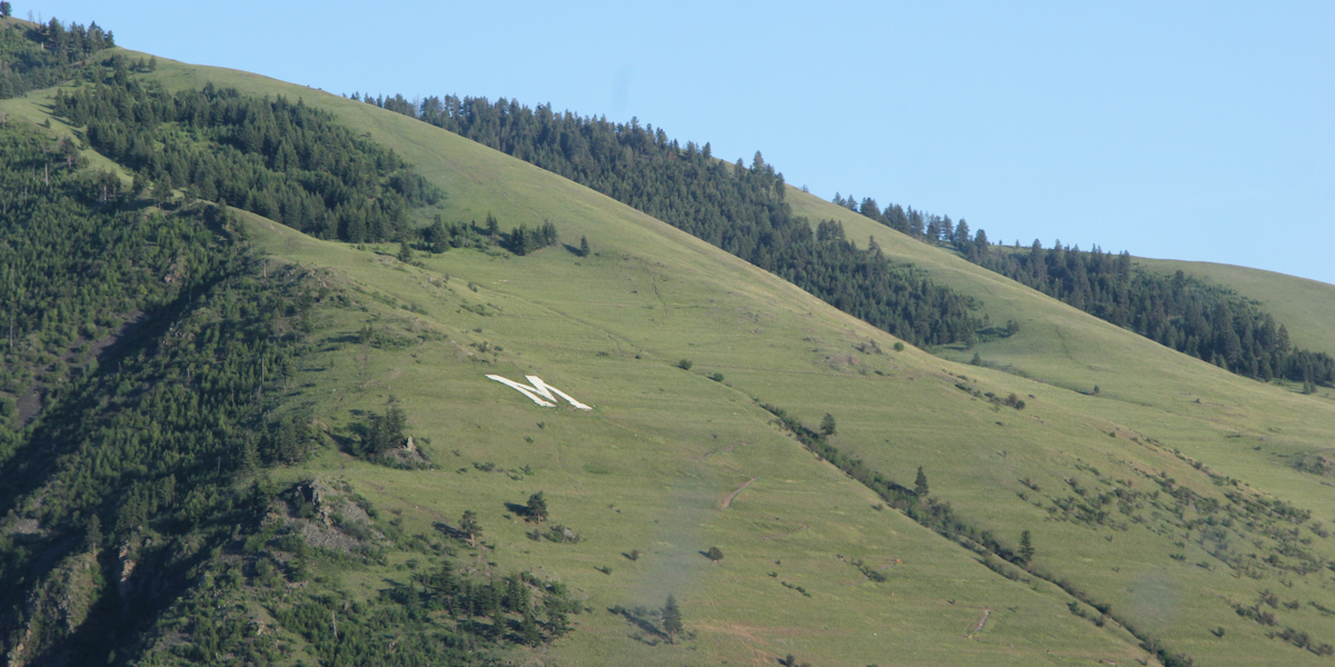
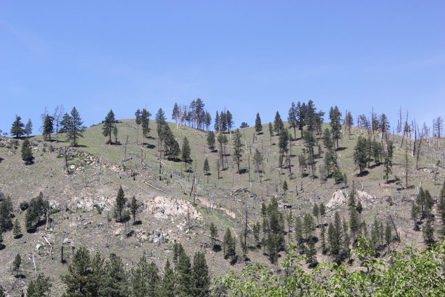
We don't know what caused this funny bare stripe along the hillside, but it went on for a long time. Photo by Eric.
We had an interesting visit to Craters of the Moon, and I'll add a link at the end. It was easiest to put all of the travel stuff together.
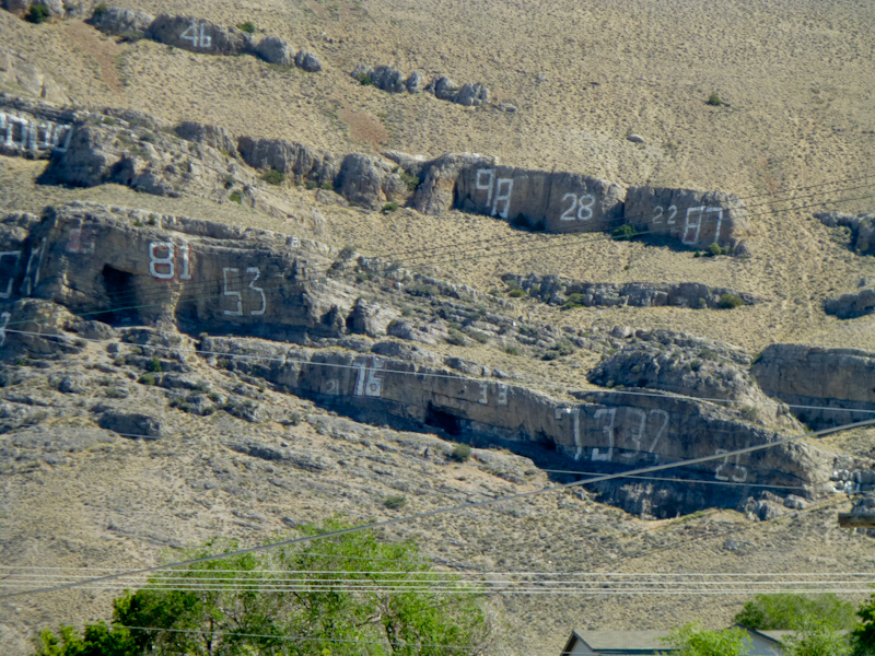
We spent the night in Arco, Idaho, the closest town outside Craters of the Moon. They had a large rock with the year of every graduating class since 1931 on the side. Someone had already put up the 13.
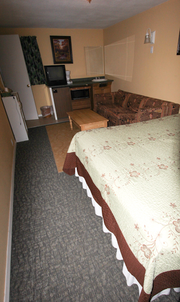
We spent the night at the Lost River Inn. A lot of stuff in Arco is named after the Big Lost River. The river eventually sinks into the soft basalt in the area, but Eric asked, "Now, where did they have the river last?"
Our room at the Lost River Inn wasn't too bad for $54, but they didn't give us an extra roll of toilet paper.
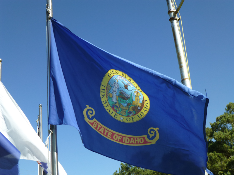
The Idaho flag. Honestly, I was underwhelmed by Idaho for the most part.
We had a not-very-tasty breakfast at a restaurant called Pickle's Place. We had the famous potatoes in Idaho, and they were nothing special. At least there was wi-fi.
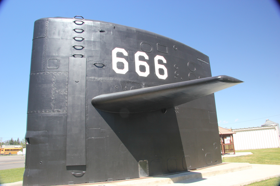
There was a submarine park right by the motel. We found a cache there. All the military stuff in Montana and Idaho was depressing because it made me think of our friend Glenn.
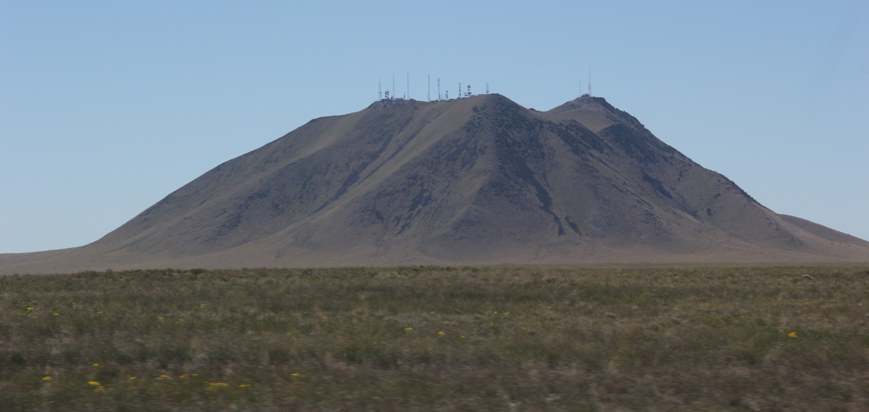
Big Southern Butte, on the road to Idaho Falls.
I had planned to go back to Craters of the Moon in the morning, but we had pretty much done everything we were going to do there the previous night. Resultantly, by the time we got to Idaho Falls, we were so far ahead of schedule that we started thinking maybe we could catch an earlier plane, rather than getting into San Francisco at 23:00. It turns out we might have been able to have done so, but it took so long to find this out that it became infeasible.
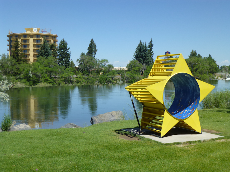
So, we took it easy and poked around Idaho Falls. Eric took a picture in the park along the Snake River. He'd really wanted to make sure we saw the Snake River.
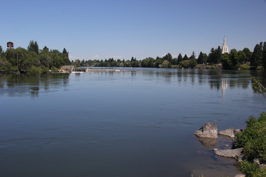
The Snake River, which has its source in Yellowstone and runs through Idaho along the Idaho-Oregon border until it meets the Columbia in Washington.
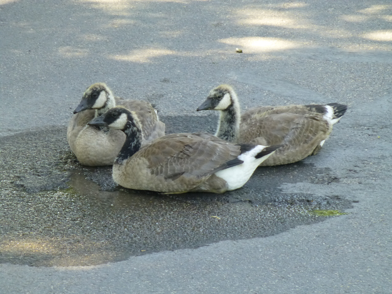
Canada Geese, of course. Eric took a picture of some juvenile geese.
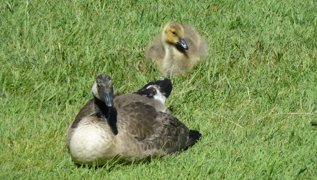
A baby goose with a parent. Photo by Eric.
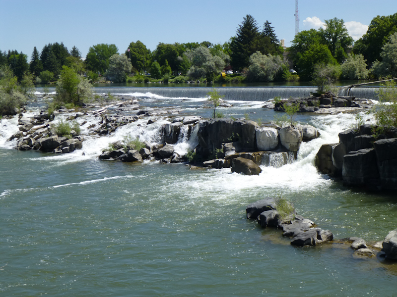
The "falls" in Idaho Falls. Again, it's been spoiled by a dam. Photo by Eric.
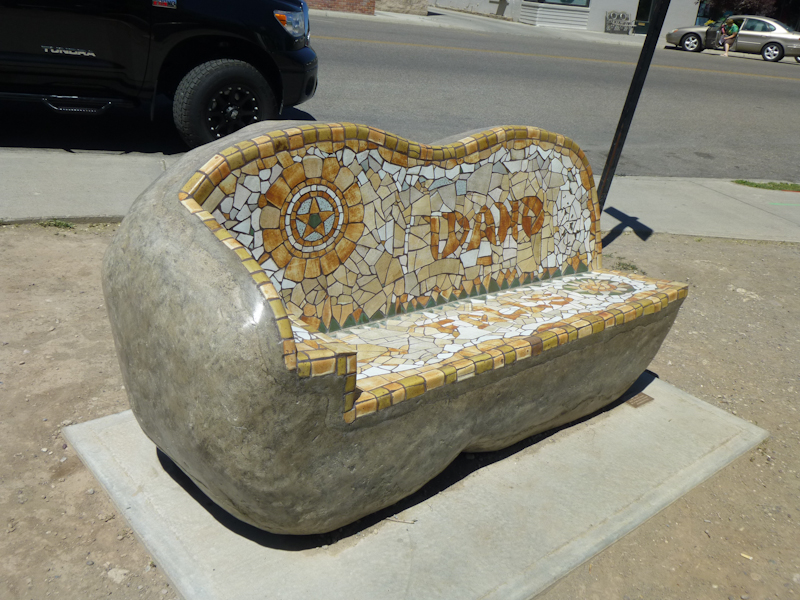
A whimsical potato bench. Photo by Eric.
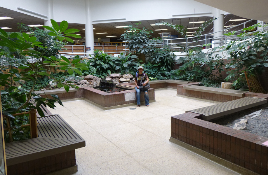
We stopped into the Idaho Falls library to use the facilities. It turned out that the Idaho Falls Library was beautiful. Photo by Eric.
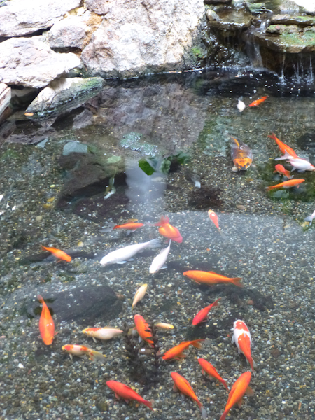
There were even fish in the pool! Photo by Eric.
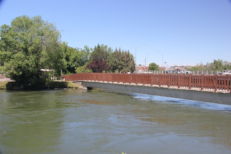
A footbridge across the Snake River. Photo by Eric.
The Snake River from a US 26 overlook on the way from Idaho Falls to Jackson.
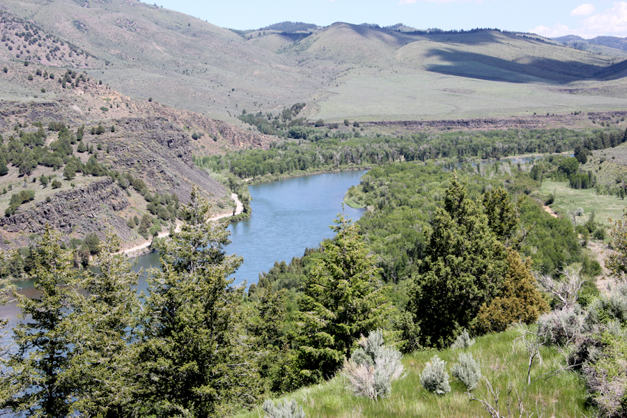
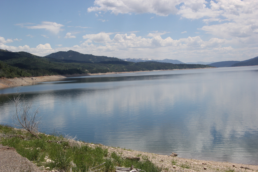
The Snake River has, of course, been dammed, but the Palisades Reservoir was sort of pretty.
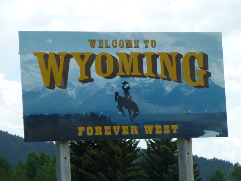
I found myself relieved to be out of Idaho. Photo by Eric.
On to Craters of the Moon National Monument and Preserve.
Distance hiked: not enough to count