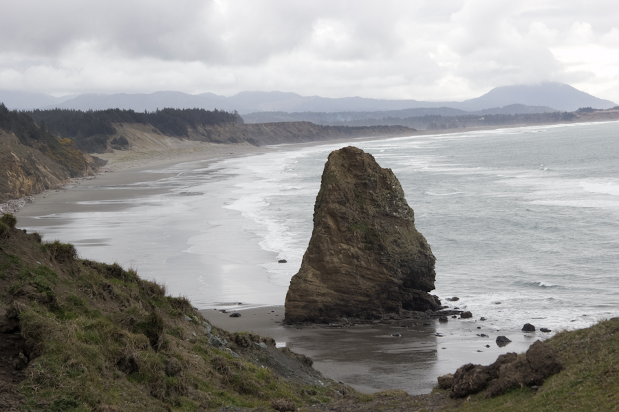
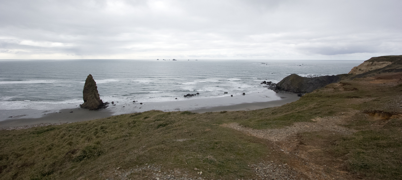
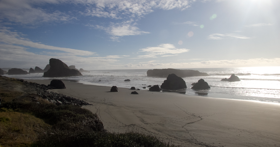
Continued from previous days. On Monday, we drove from Bandon back to Berkeley, exploring the southern part of the Oregon coast. There were still more lighthouses to see, and some incredibly fascinating rock formations.
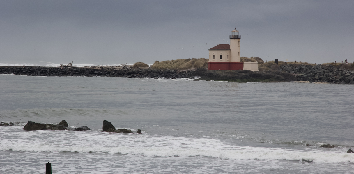
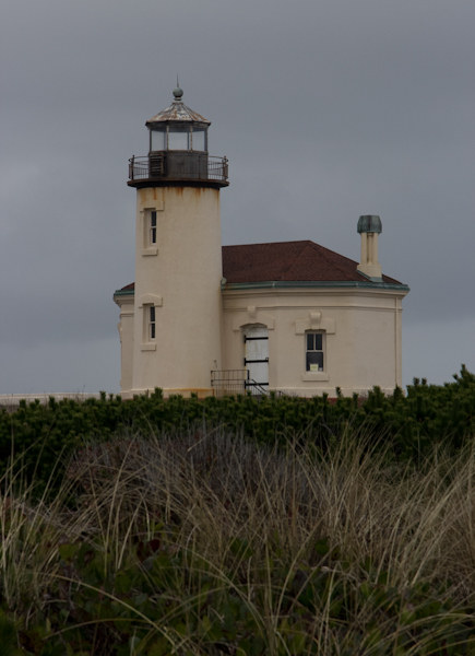
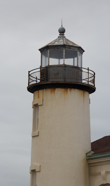
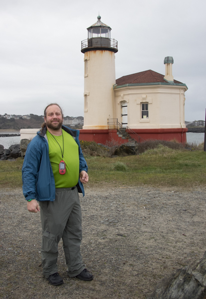
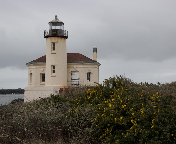
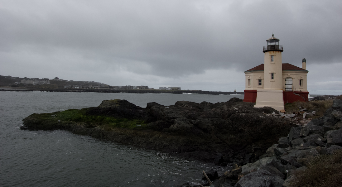
While the Coquille River Lighthouse, in Bullards Beach State Park, is very close to the B&B as the crow flies, it's much further without flying or swimming.. We got in Sydney and drove around for a closer look (and some geochaching!).
This was a multi-stage cache where we had to look for some information (we were hoping for an interpretive sign, but had to get the information from the internet instead) to give us the coordinates where the actual physical cache would be found.
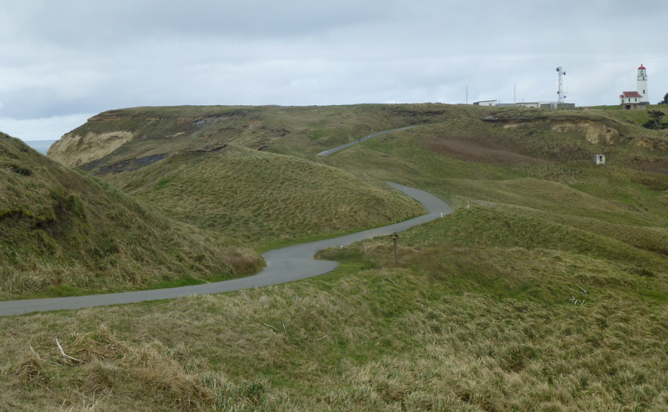
Armed with coordinates, we got back in Sydney and took off to find the cache. We made the mistake of using Lulu, our car GPS (so named because of her often lunatic ideas about which route is best), to bring us to the general location.
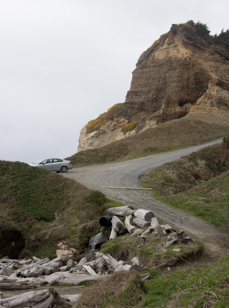
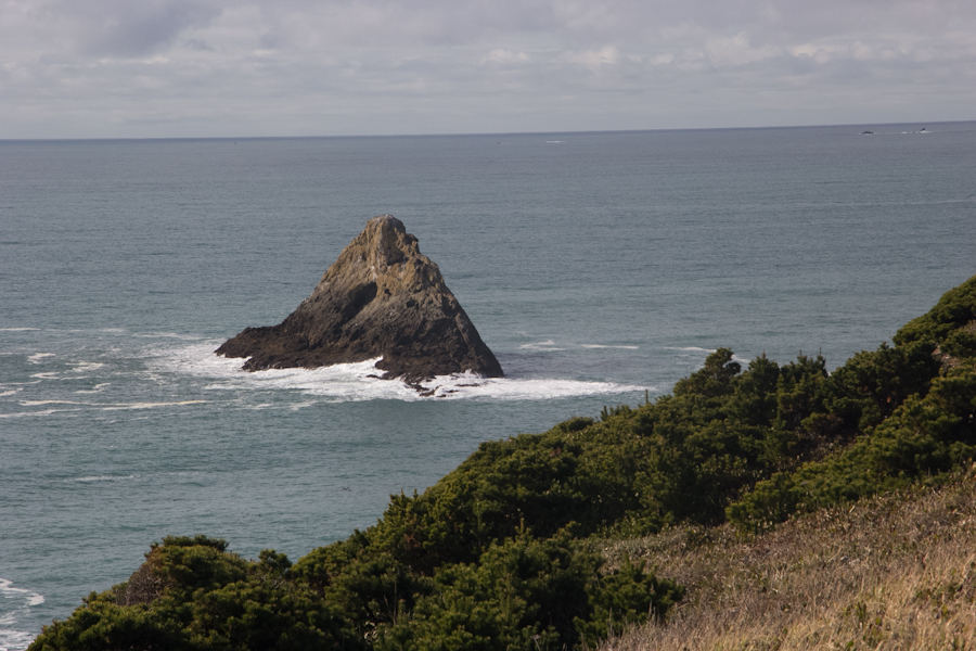
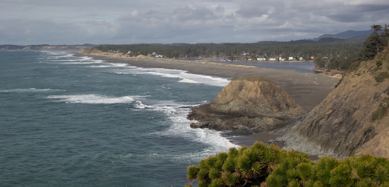
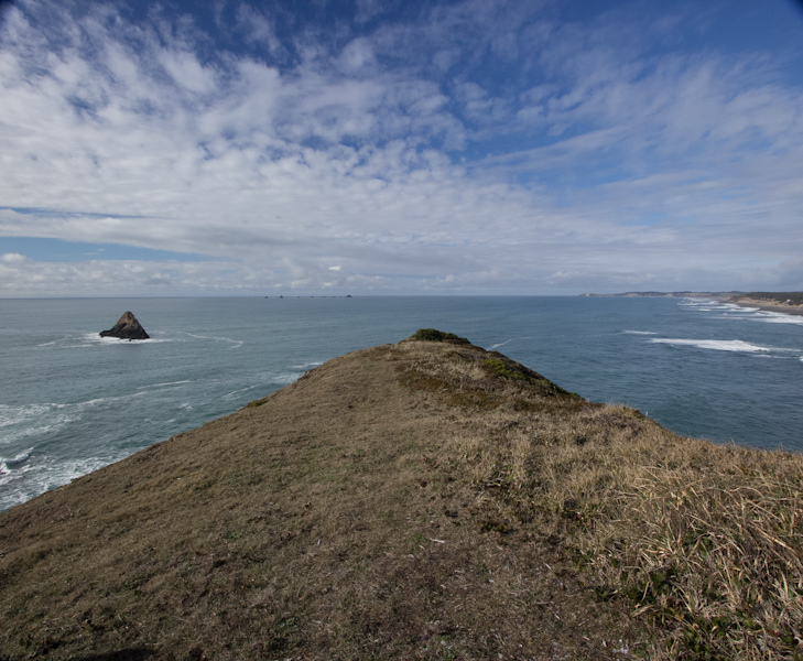
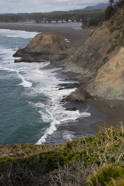
As you can see, we were down at the bottom of a ridge. The cache was up on top of the ridge. Our two-dimensional coordinate system makes these sorts of errors possible.
We had definitely stayed at Cape Blanco much longer than we should have, but, having already invested this much in finding the cache, we didn't want to leave without finishing the job.
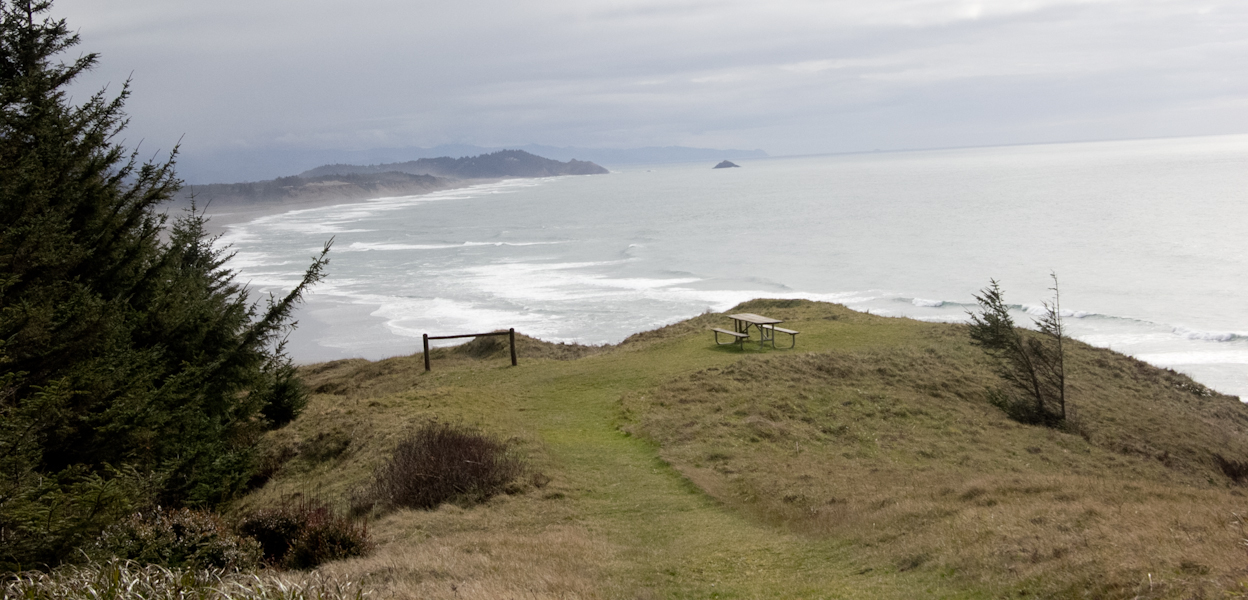
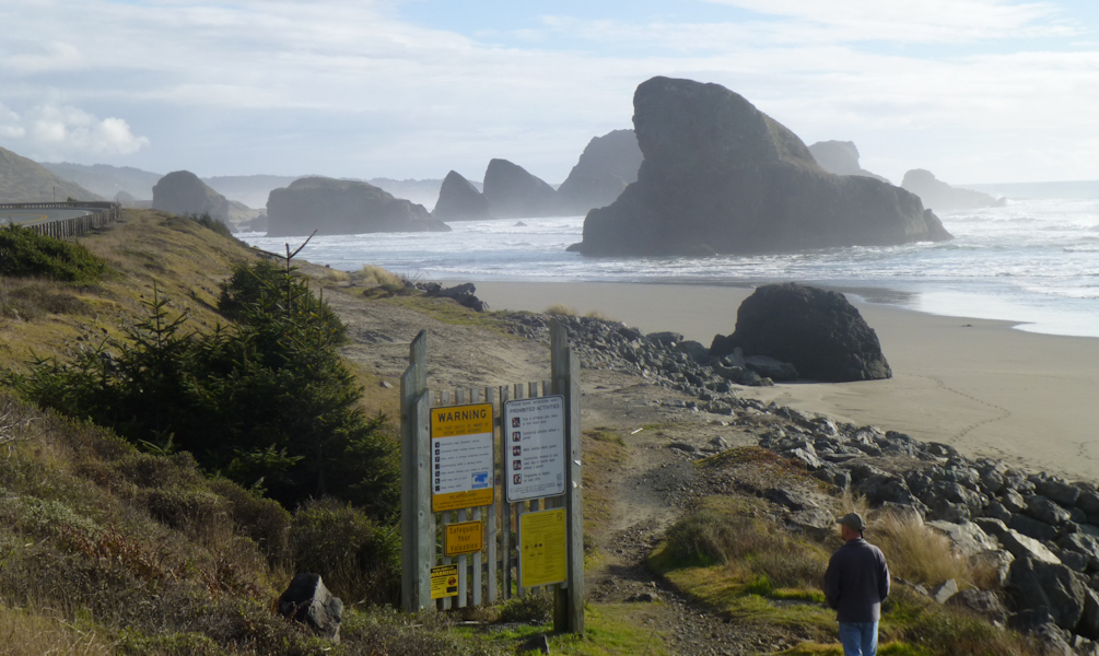
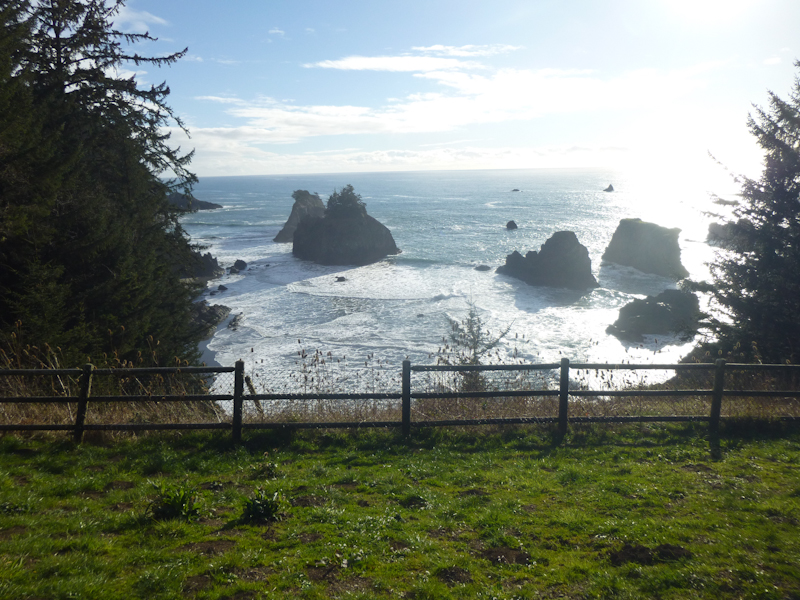
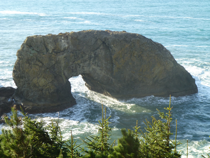
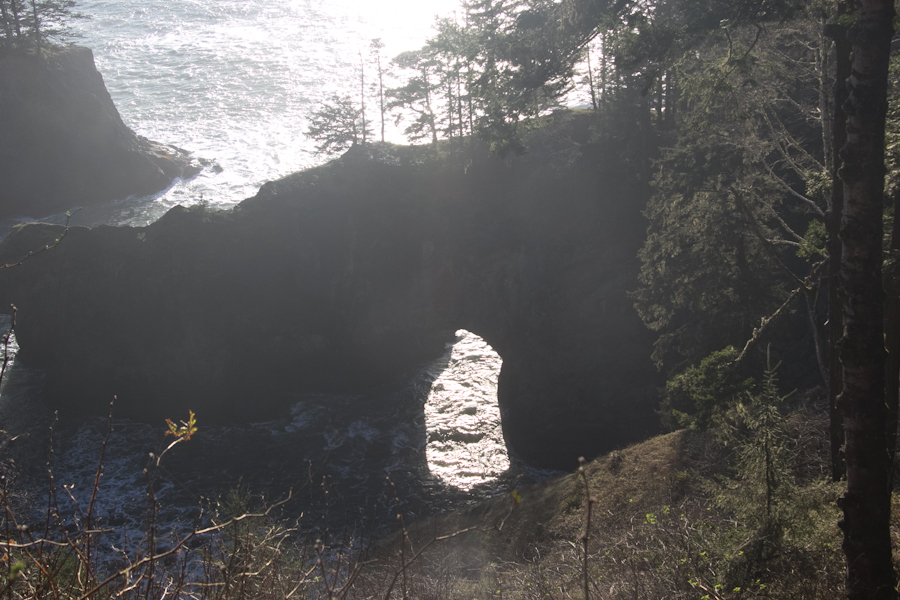
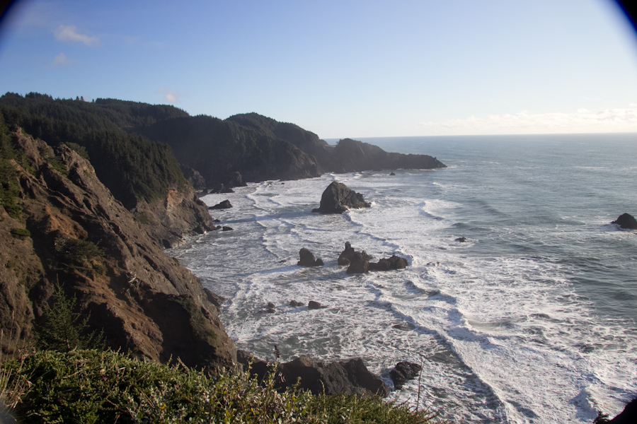
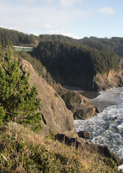
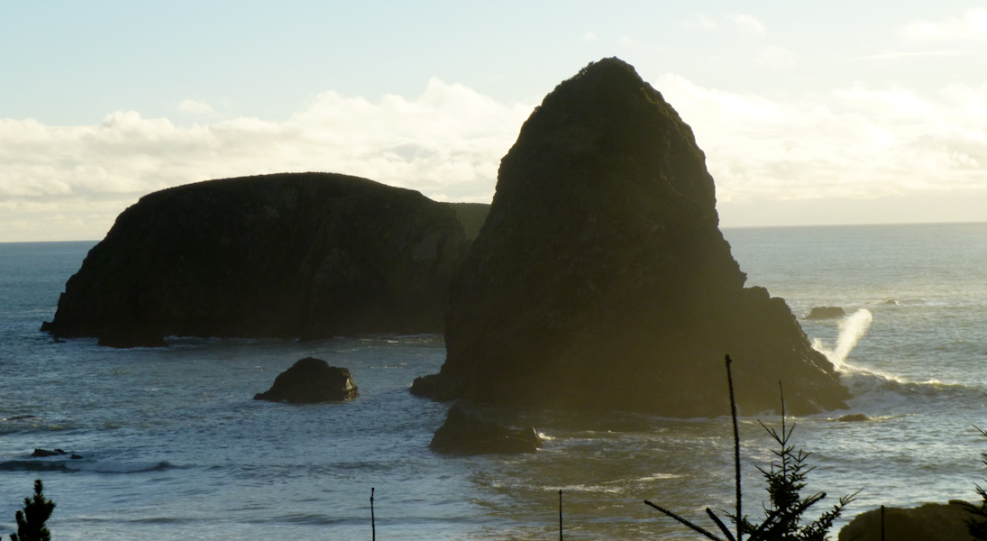
Our last exciting spot was Samuel H. Boardman State Scenic Corridor, where we, of course, did not have time to find all of the interesting-looking geocaches I had planned.
By this point, Lulu was already predicting that we would not arrive at the Zuckershack until well after midnight, and we needed to work the next day. We have found that, if we do not set Lulu to project our arrival time at our final destination for a given day, we will trot around taking pictures and finding geocaches with abandon and never get any sleep. Usually, we can make up some time on Lulu's estimates, but this trip demonstrated that it's much easier to beat Lulu's estimates on the interstate than it is on a windy road like US 101. I decided to drive for a while to give Eric a nap, so that he could drive the later shift and I could sleep in the back seat.
The time notwithstanding, we couldn't end the day without finding one more geocache, in California, as it had not yet been found by anyone else. We had to go off on a lonely side road, and hunt for the cache in the dark, but we found it with its log in a beautiful pristine state. First to find!
We got home about 12:15, but each had an opportunity to sleep in the car. We ate gas station burritos in the car for dinner. At least it wasn't Subway yet again.
What an amazing day: two lighthouses, four state parks (plus a quick overlook visit to another), and eight geocaches. For the whole trip, we saw five lighthouses, eight state parks and one national recreation area, found fifteen geocaches and drove 1,995 km (1,240 mi). And we have now driven about 80% of US 101. It goes from Los Angeles, CA to Port Angeles, WA. The only parts we are missing are the parts between Newport, OR (where we started this trip) and Aberdeen, WA (where we turned off of it to return to I-5 on the Pacific Northwest trip), and the part where it wraps back around southbound on the east side of the Olympic Peninsula between Port Townsend and Olympia, only 494 km out of nearly 2,500 (307 mi out of nearly 1,550).
As for Mark, he is in our memories now. And his is in these pages; some of the .HTML code I used to write them is his. We will continue to be drawn to Oregon, for both its people and its beauty, and so his influence on us will continue. We will probably keep going back even though we can't see him anymore, but we will never go without remembering him.
Back to previous days.