Mt. Arrowsmith and Tofino, BC
Sunday-Monday, 27-38 August, 2023
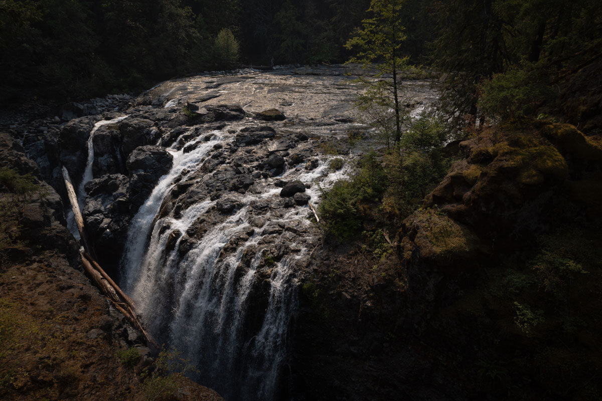
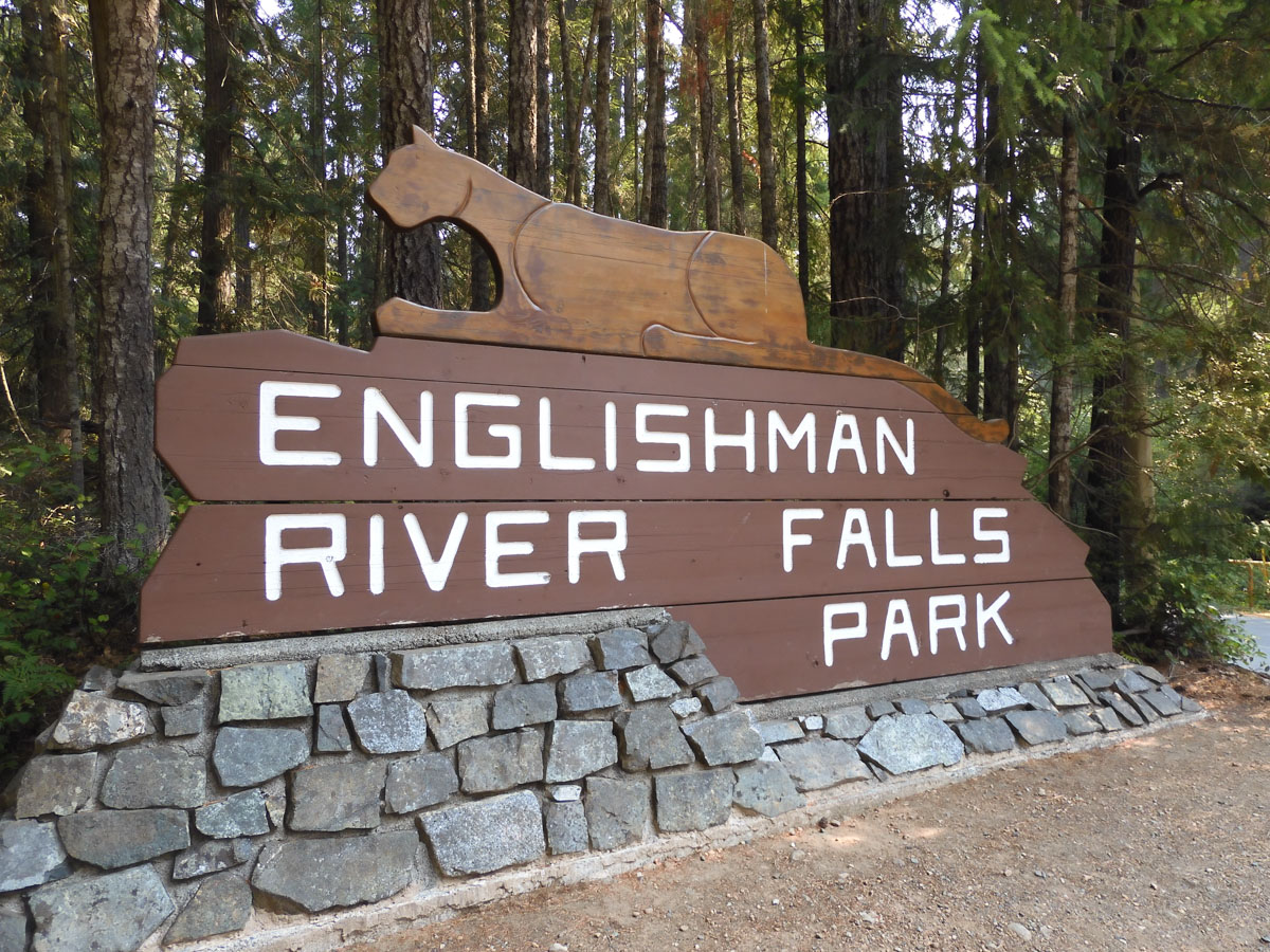
Englishman River Falls
When we read about the famed ocean scenery of Tofino, on the far west side of Vancouver Island, we changed our plans to go up to Port Hardy at the north end of the island, and headed across it instead. Tourism Vancouver Island had helpfully highlighted points of interest along the way by placing a series of "Amazing Places" caches for us to find.
We got off to a disappointing start at Notch Hill. But the next site, Englishman River Falls, had a more promising ring to it.
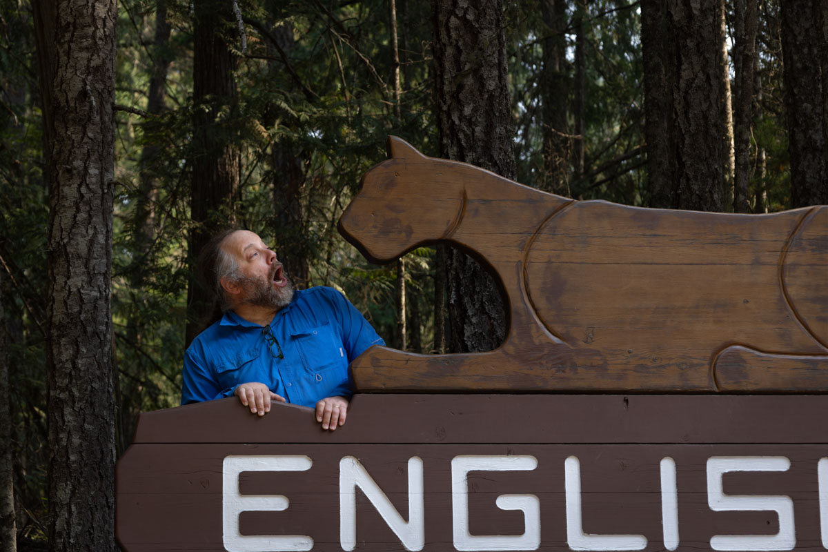
These Canadian fakes! Look at Eric's photo! They put this totally artificial mountain lion on their park sign. We Americans have real mountain lions at our park signs!
The fake lion was entirely unconvincing and not at all scary, so Eric tried to make it seem at least a little bit threatening.
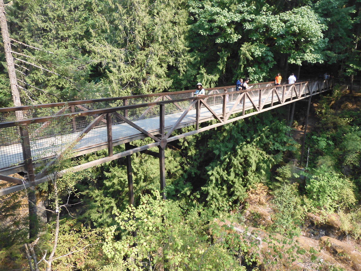
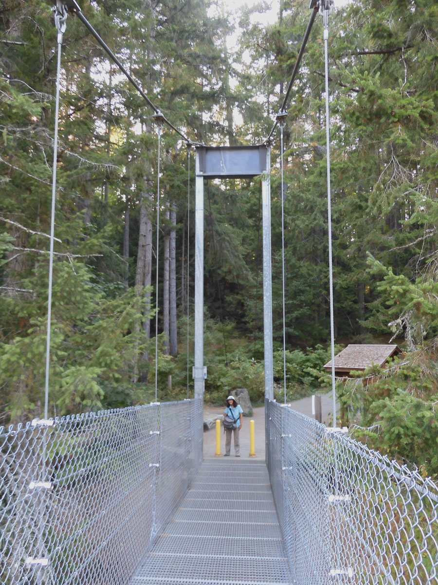
Eric took my picture at the bridge over the falls.
A short loop hike brought us from the upper falls through a pleasant forest, where we readily found the cache.
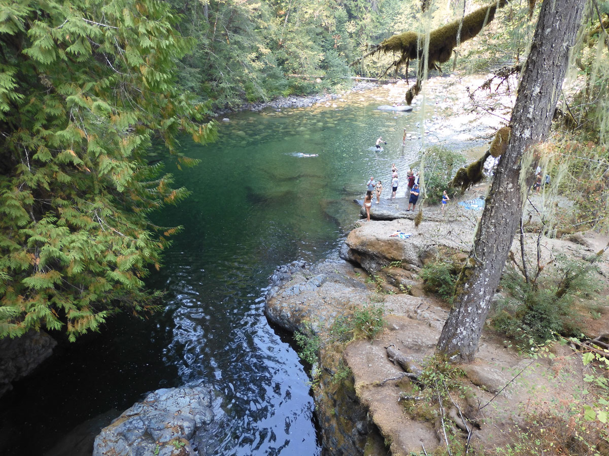
The trail continued down to this frigid swimming hole. Photo by Eric.
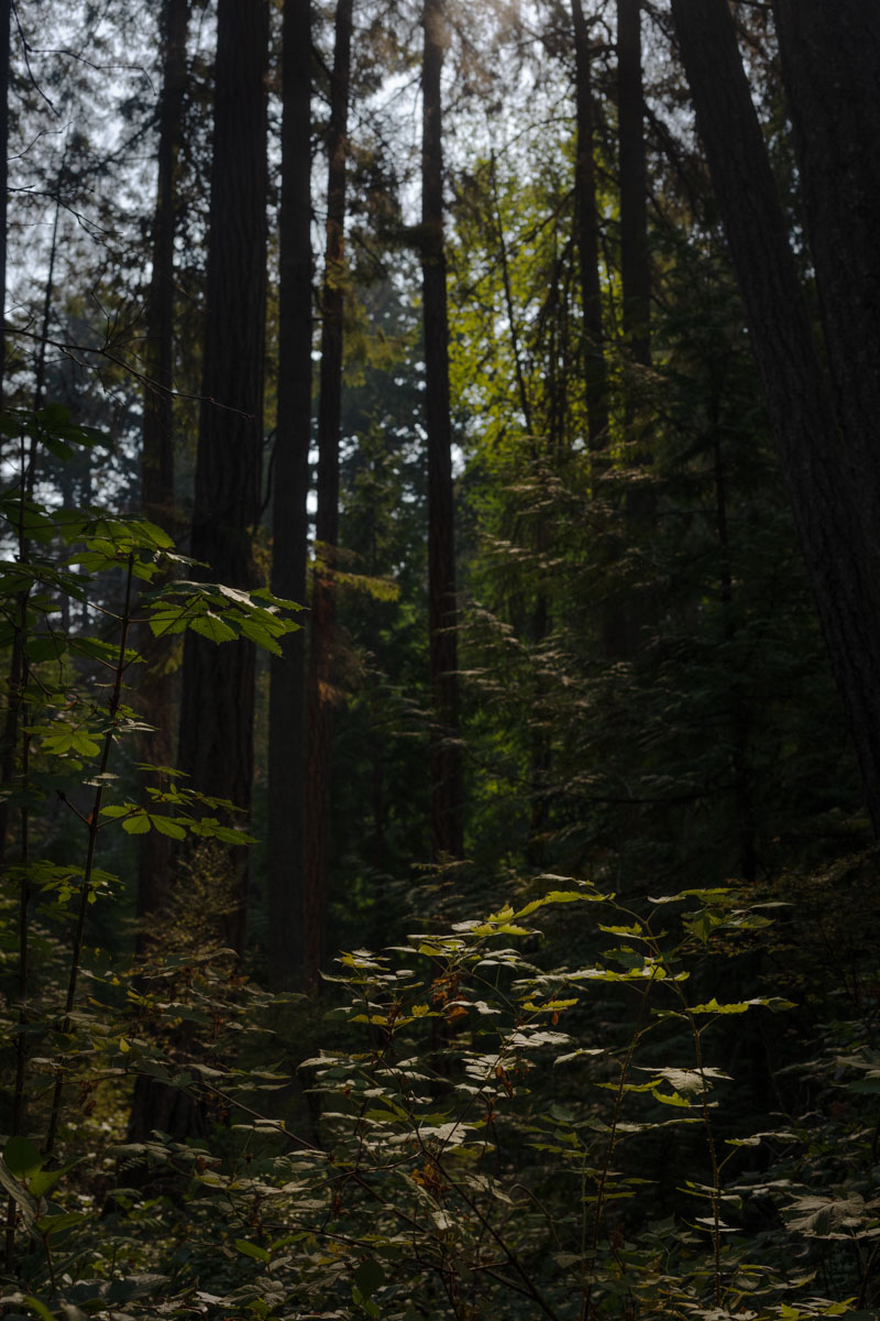
The next cache was in the quiet Heritage Forest.
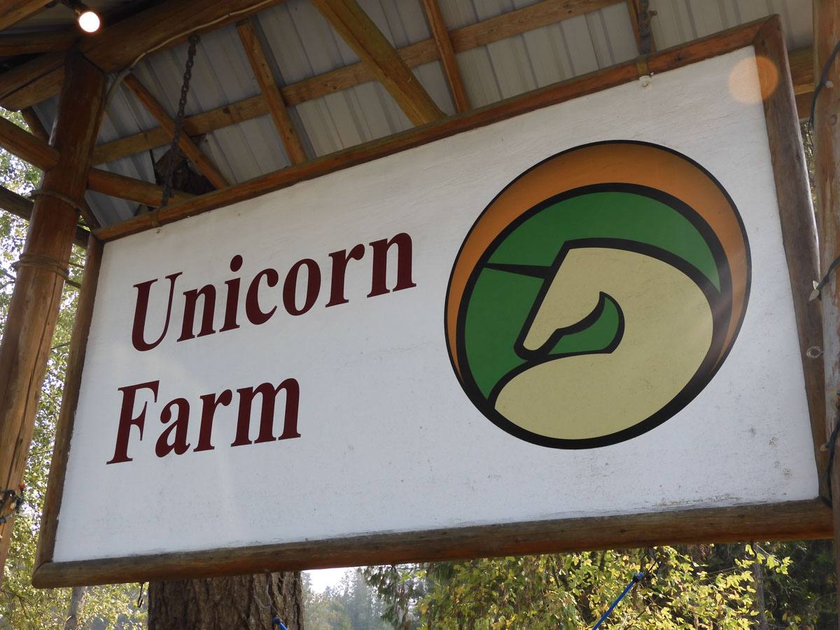
They farm unicorns out there! It was almost as charming as the San Juan Islands that we were skipping on this trip. We decided not to try to get a unicorn ride. Photo by Eric.
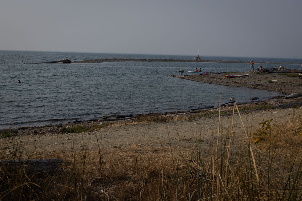
Lovely Qualicum Beach was protected from the open sea, and some swimmers promised it wasn't super cold. But we still needed to get all the way across the island, so we skipped the swim. The cache container was broken, another bust.
Top Bridge crosses Englishman River and provides an overlook, and was the first stage of a multi-cache. Eric took my picture on the bridge.
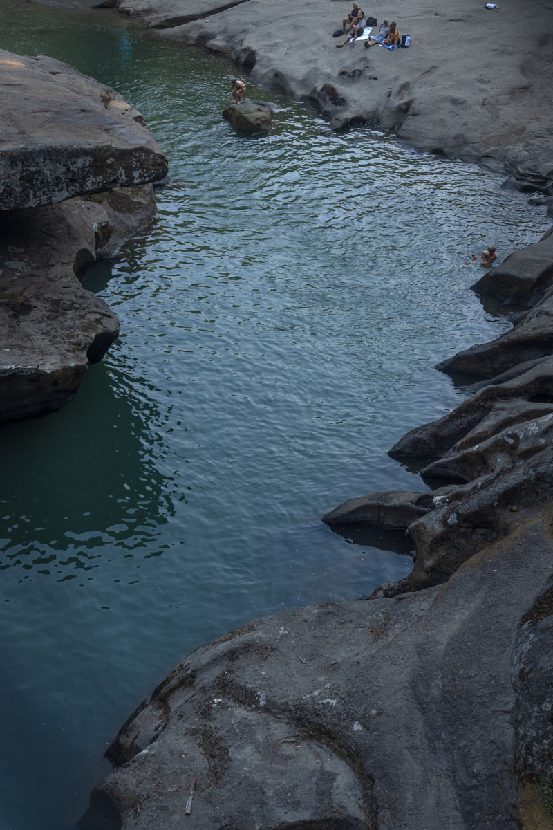
Looking down from Top Bridge and the water-carved geologic formations.
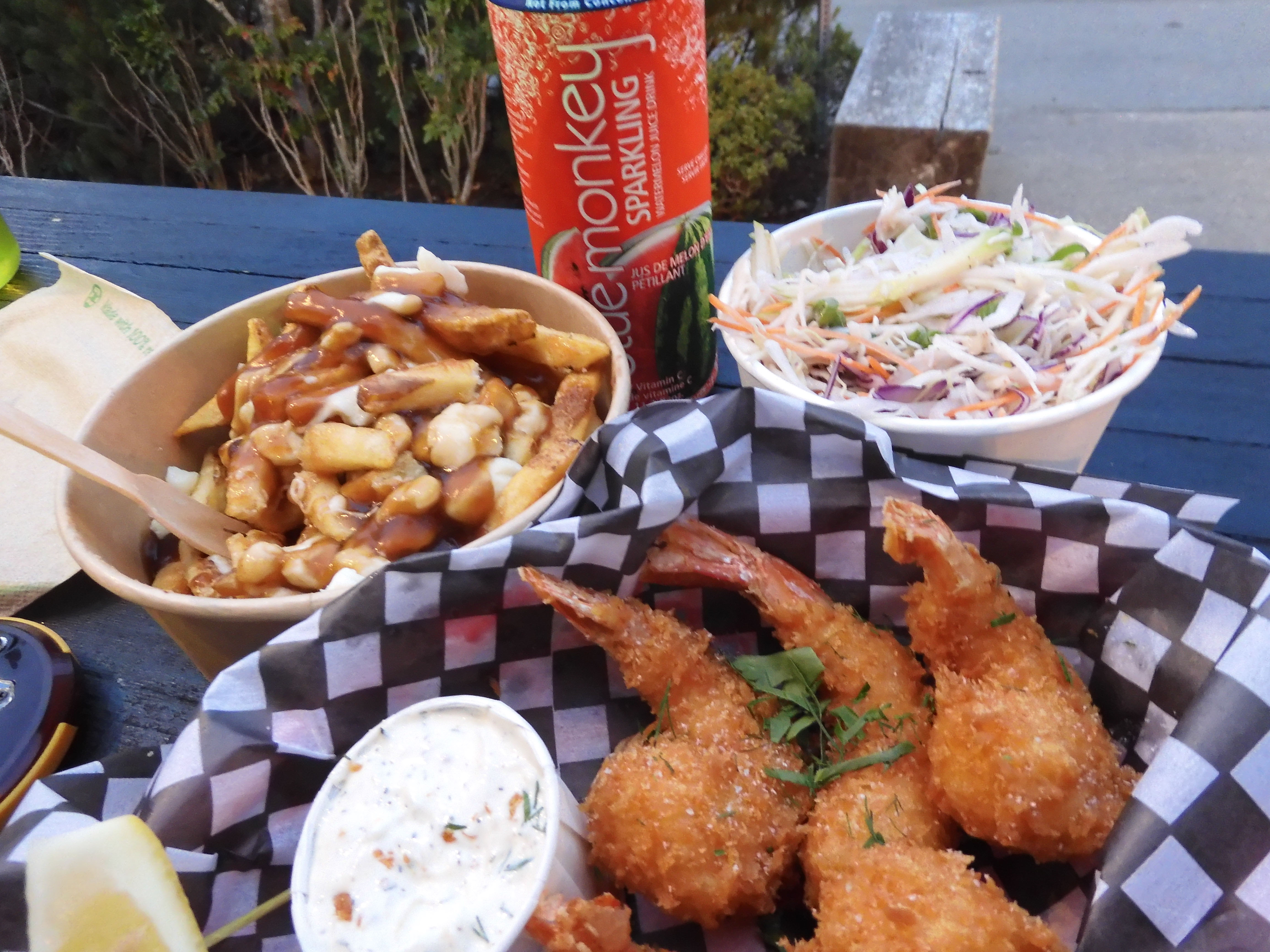
Restaurant closing times are so often the limiting factor in outdoor activities, hiking, geocaching, photography. You have to get food. I had researched food options in Tofino and found myself enamored by Big Daddy's Fish Fry just by the name. Big Daddy's was open until 20:30. If we saved the second stage of the cache for the return trip, we could likely make it to Big Daddy's by 20:00. We were delayed a bit by construction on the road, but still made it in plenty of time. So ignorant and innocent at that time, we had no idea how lucky we'd been.
The food was every bit as fantastic as it sounded! So very fresh! Eric photographed his dinner.
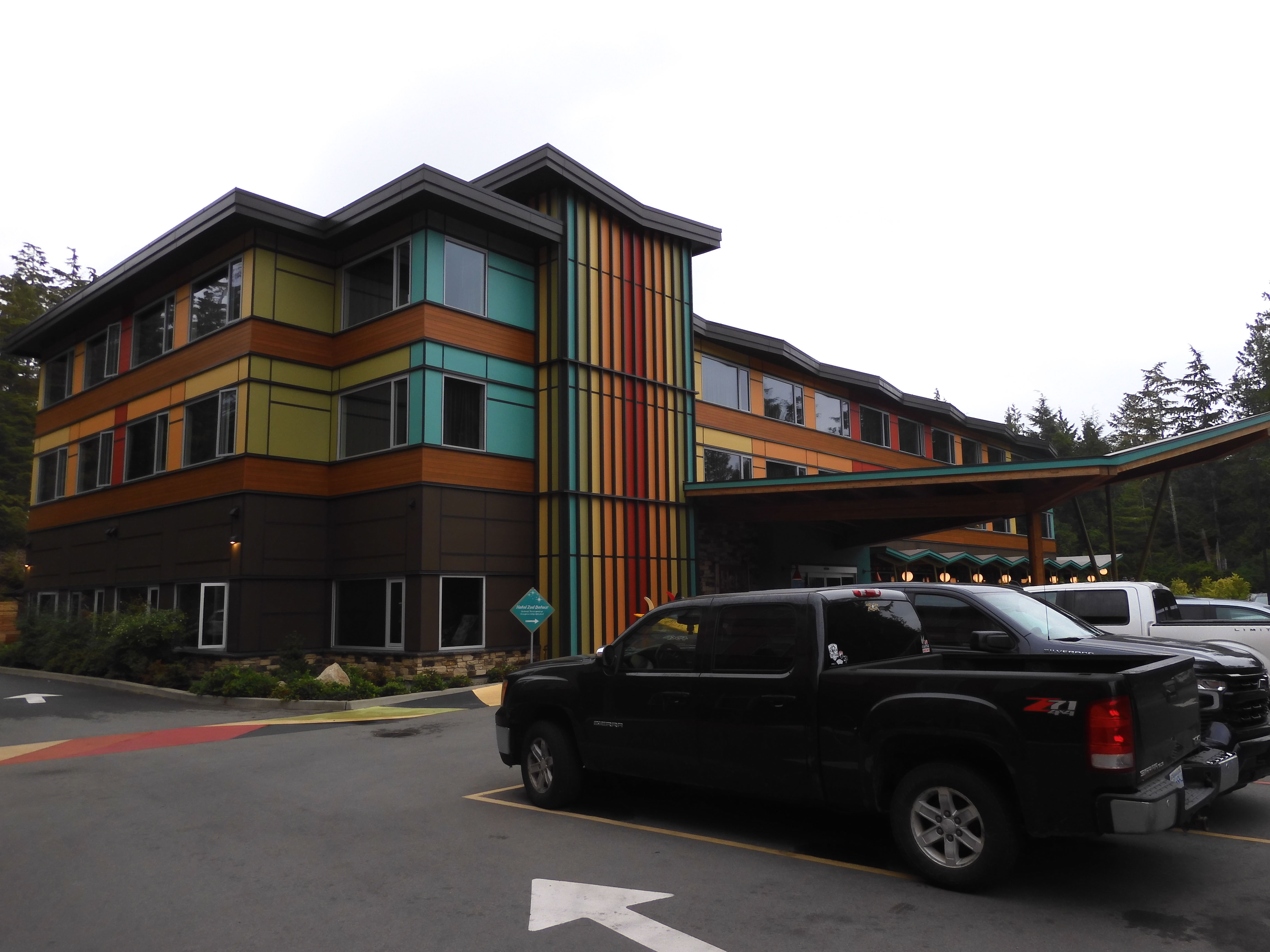
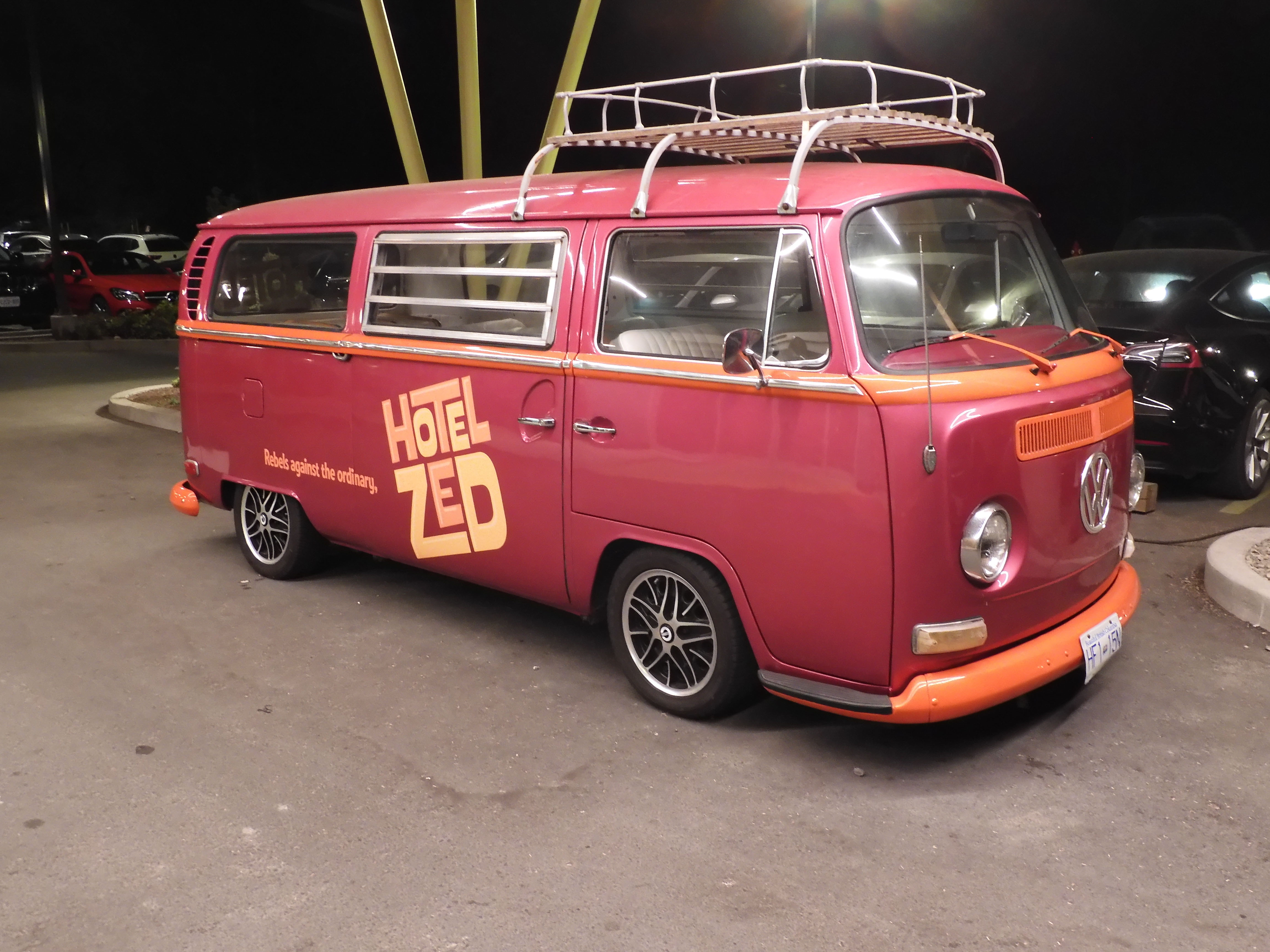
I had booked the "Rebels Against the Ordinary" 1970's-themed Hotel Zed for our overnight stay in Tofino. It had easy access to a surf beach right behind the hotel. The desk clerk gave me a bag with fresh ground coffee, fresh cream, and tea bags. The room had an electric kettle and a French press carafe. Photo by Eric.
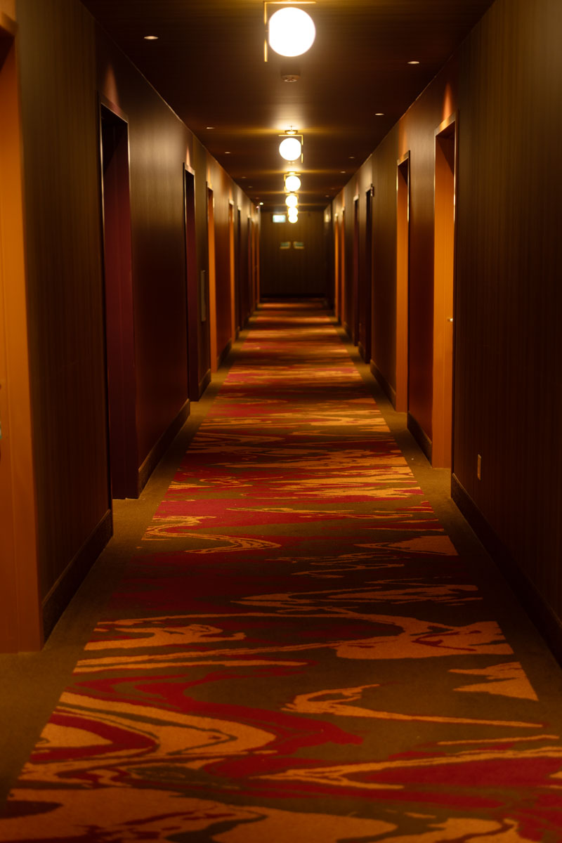
Colors of the 1970's in the hallway.
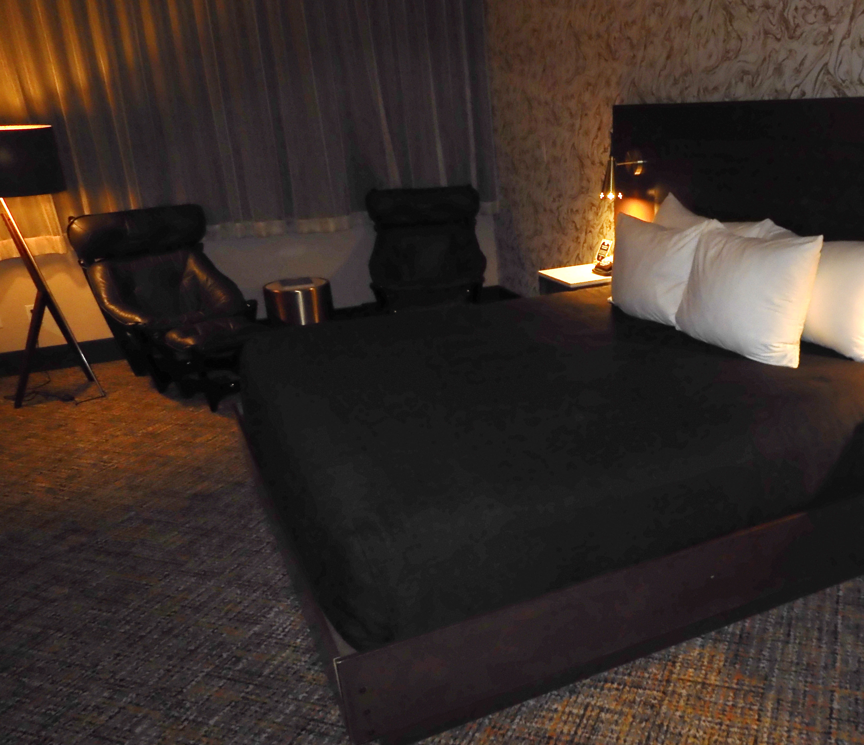
Eric photographed our room.
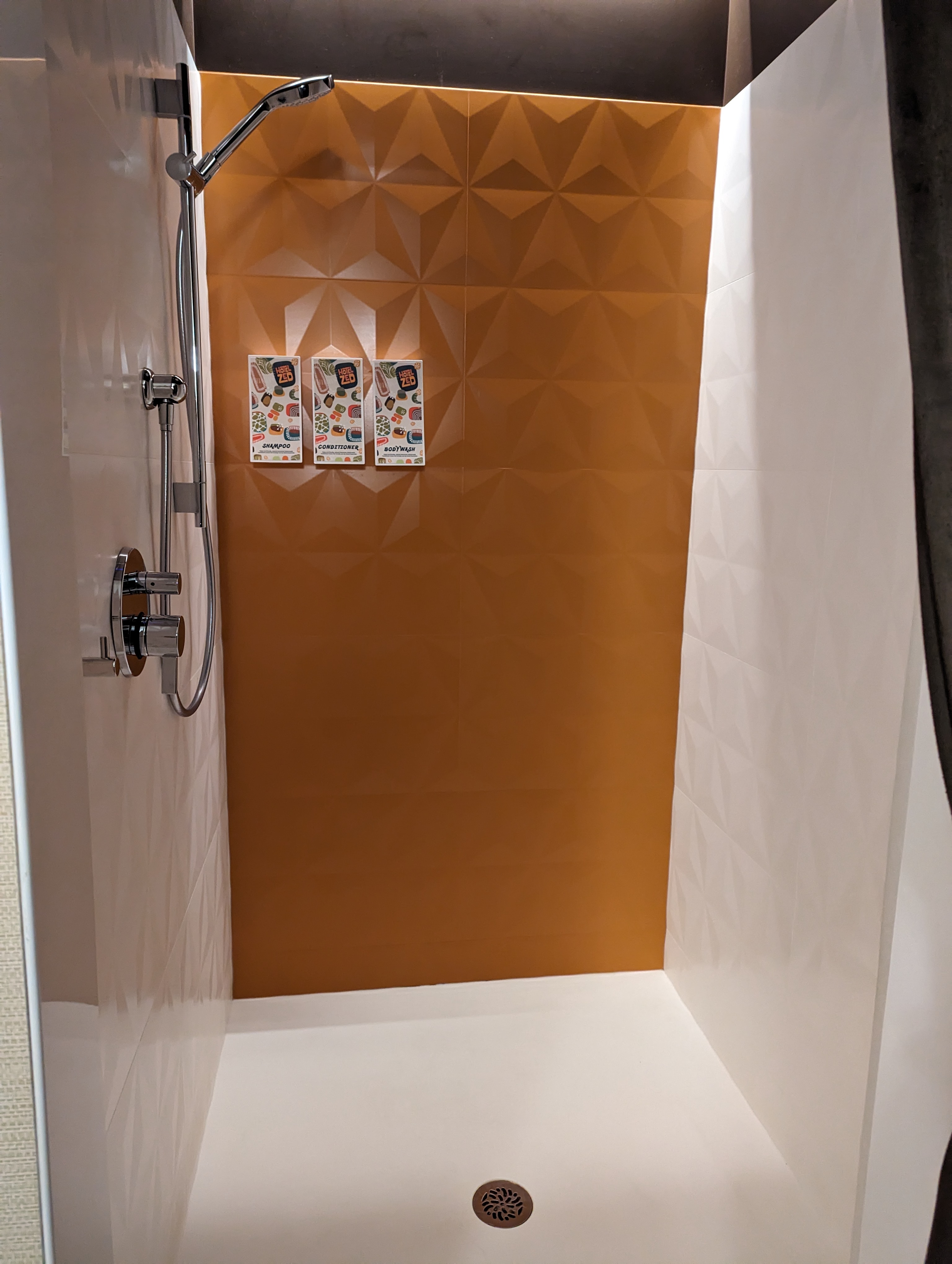
Shower meant for a group!
The hotel was decorated in VW microbuses. Photo by Eric.
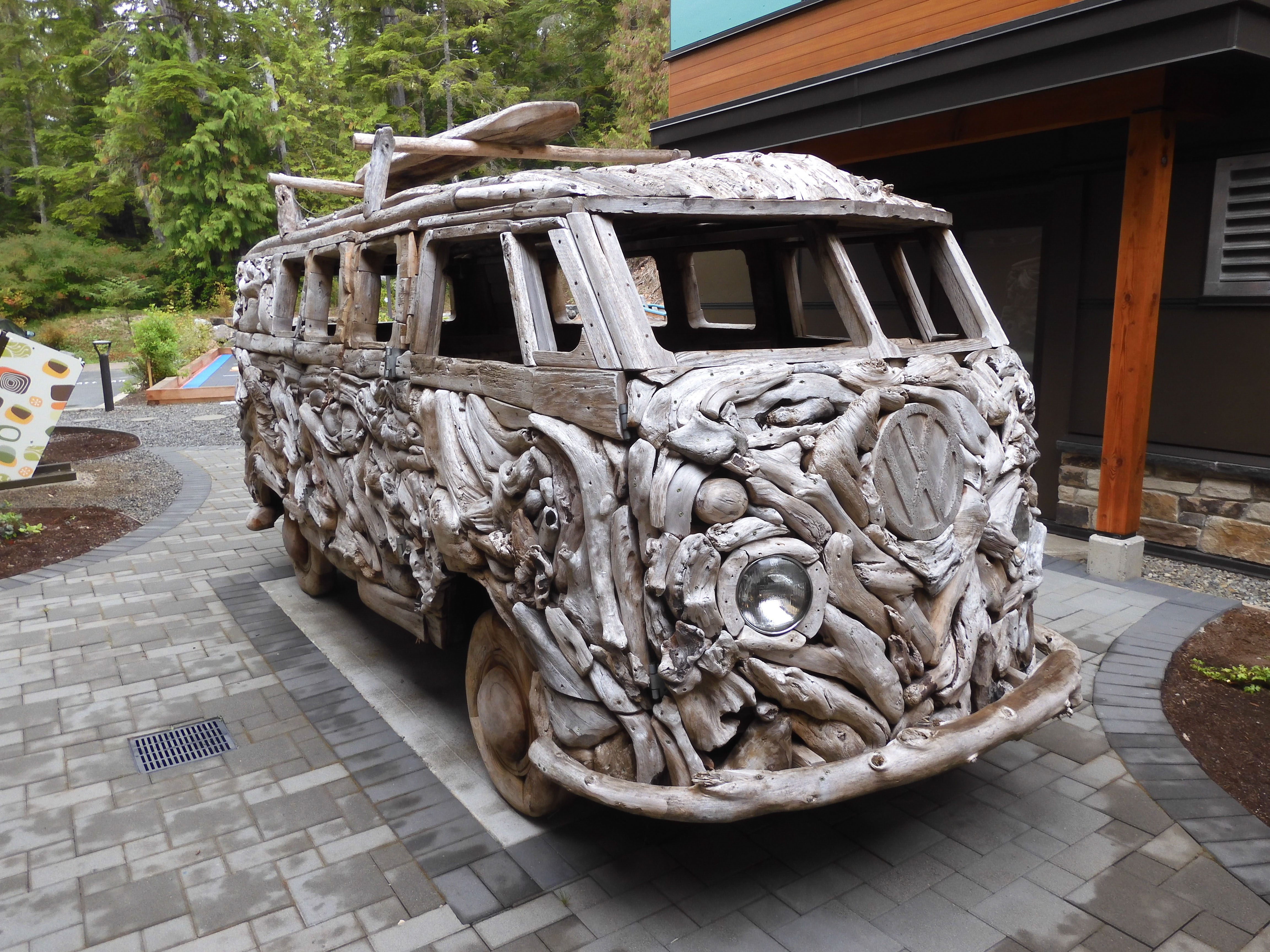
Microbus of wood. Photo by Eric.
As difficult as it was to leave this marvelous environment, we had to get on the road, as we had quite an agenda for the next two days. In order to train for the Mt. St. Helens hike in just five days, we were planning to do a 17.2 km/10.7 mi hike with a whopping 1,515 m/4,970 ft elevation gain the next day. We would need to arrive in camp early enough to get to bed in time to get up for such a great adventure. For the current day, we planned to get out to the end of the road in Tofino (furthest west point in our trip), stop at a local cache, do a short hike in a national park, and find the rest of the sites on the Mt. Arrowsmith geotour. We also needed to pick up a grocery order in Port Alberni. Unfortunately, this is where all the good luck we had been having ran out.
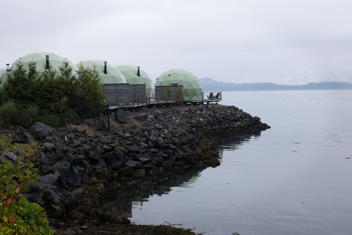
Yurts at the far west end of BC Route 4, outer edge of Tofino.
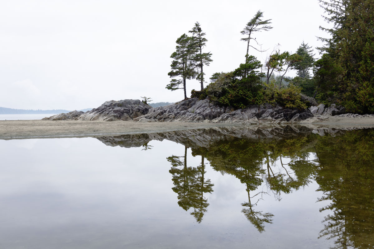
Eric's photo of Tonquin Beach through the trees.
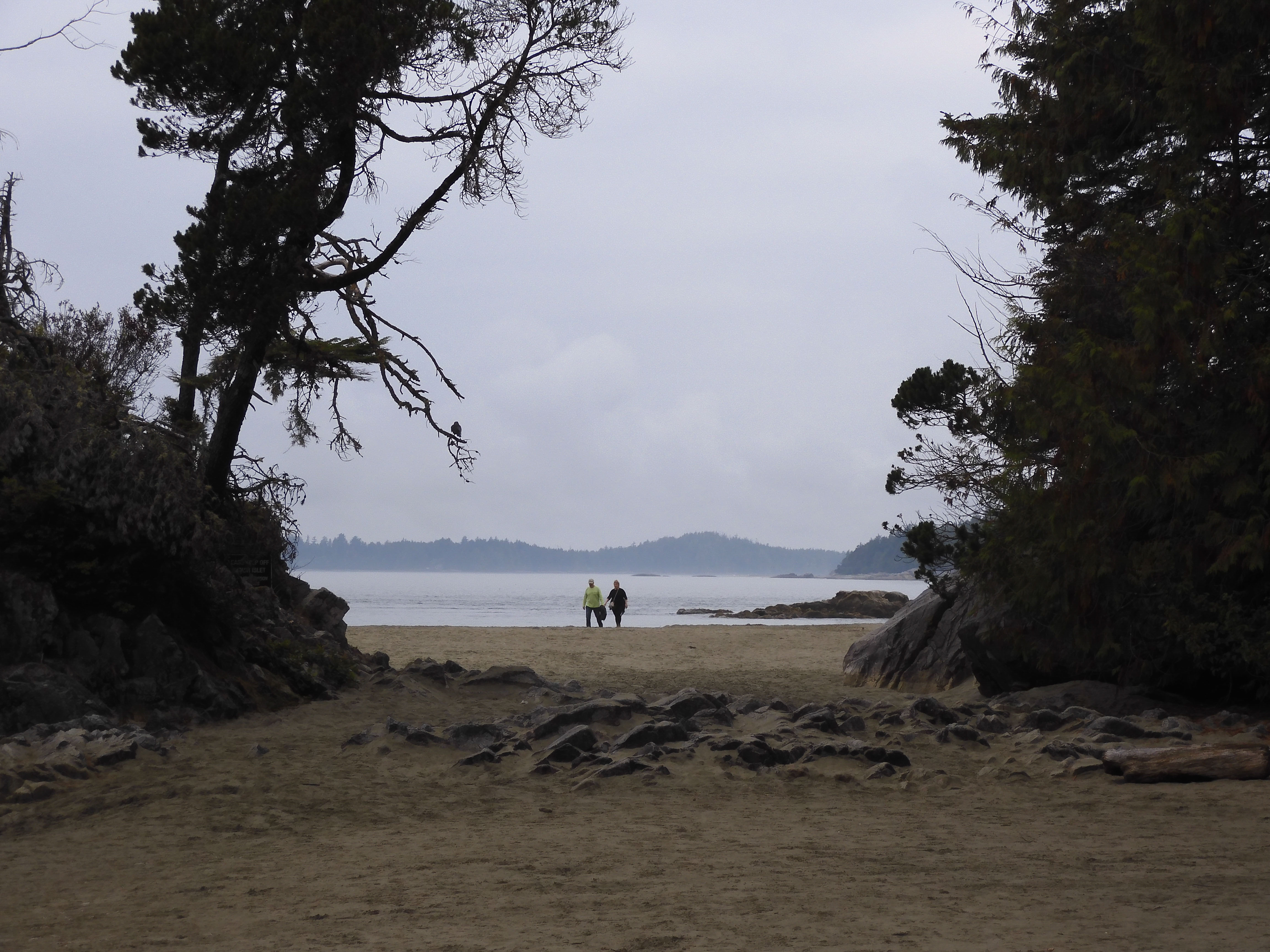
Reflections at Tonquin Beach.
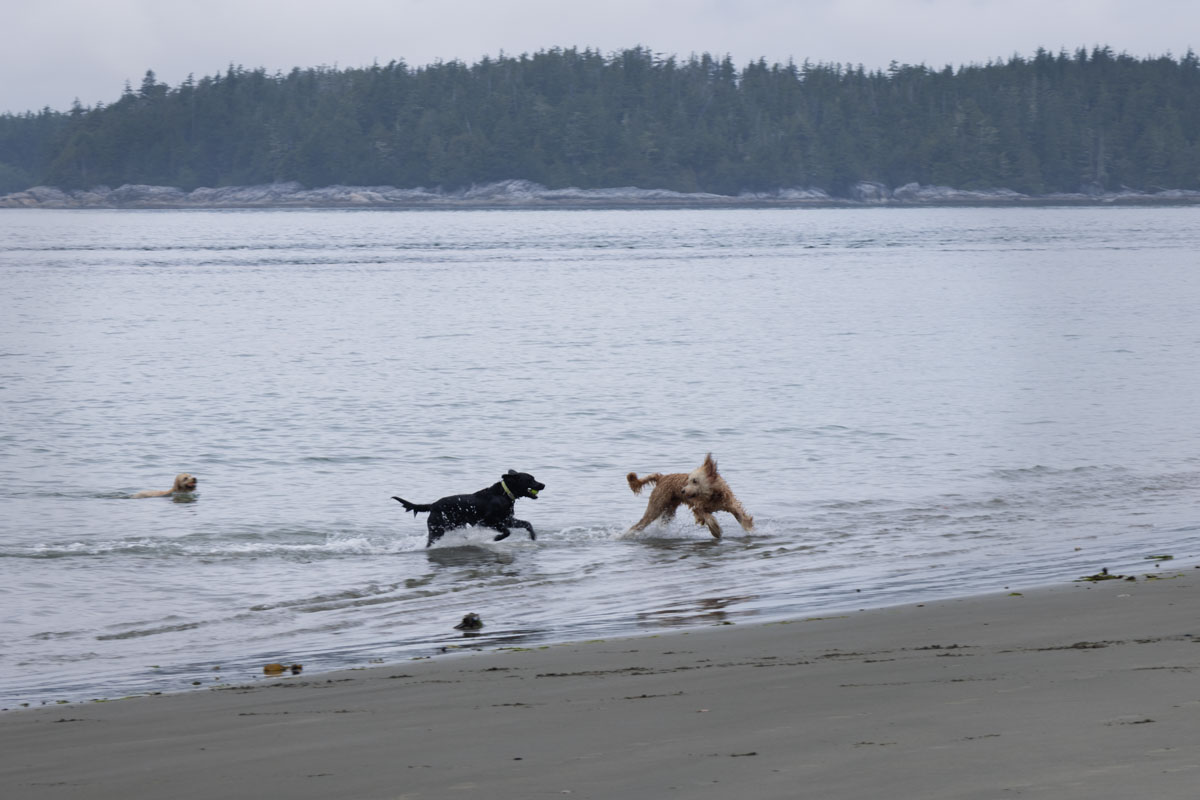
I photographed these dogs playing in the water.
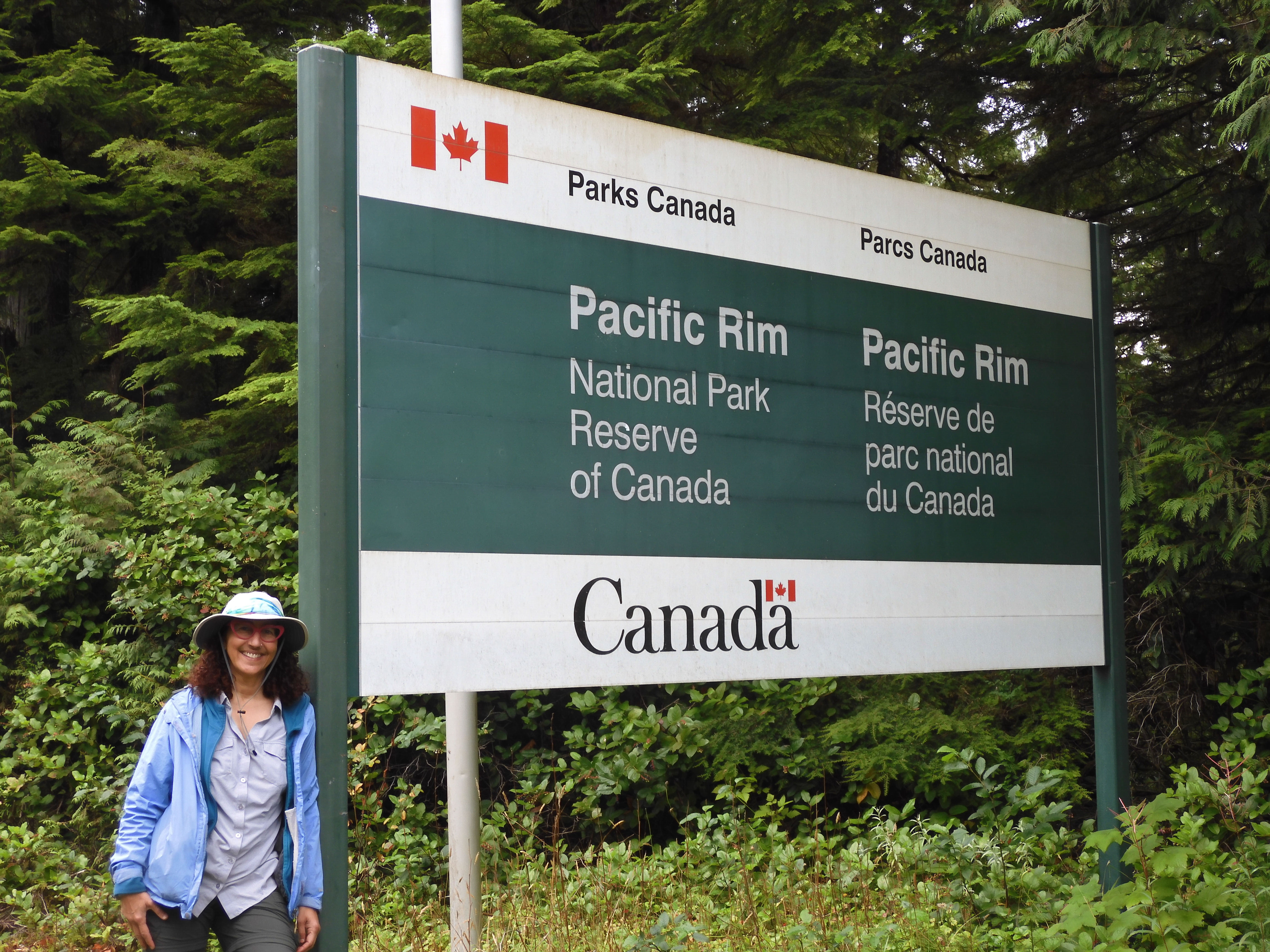
Eric photographed me at the entrance to our second Canadian National Park, Pacific Rim National Park Reserve.
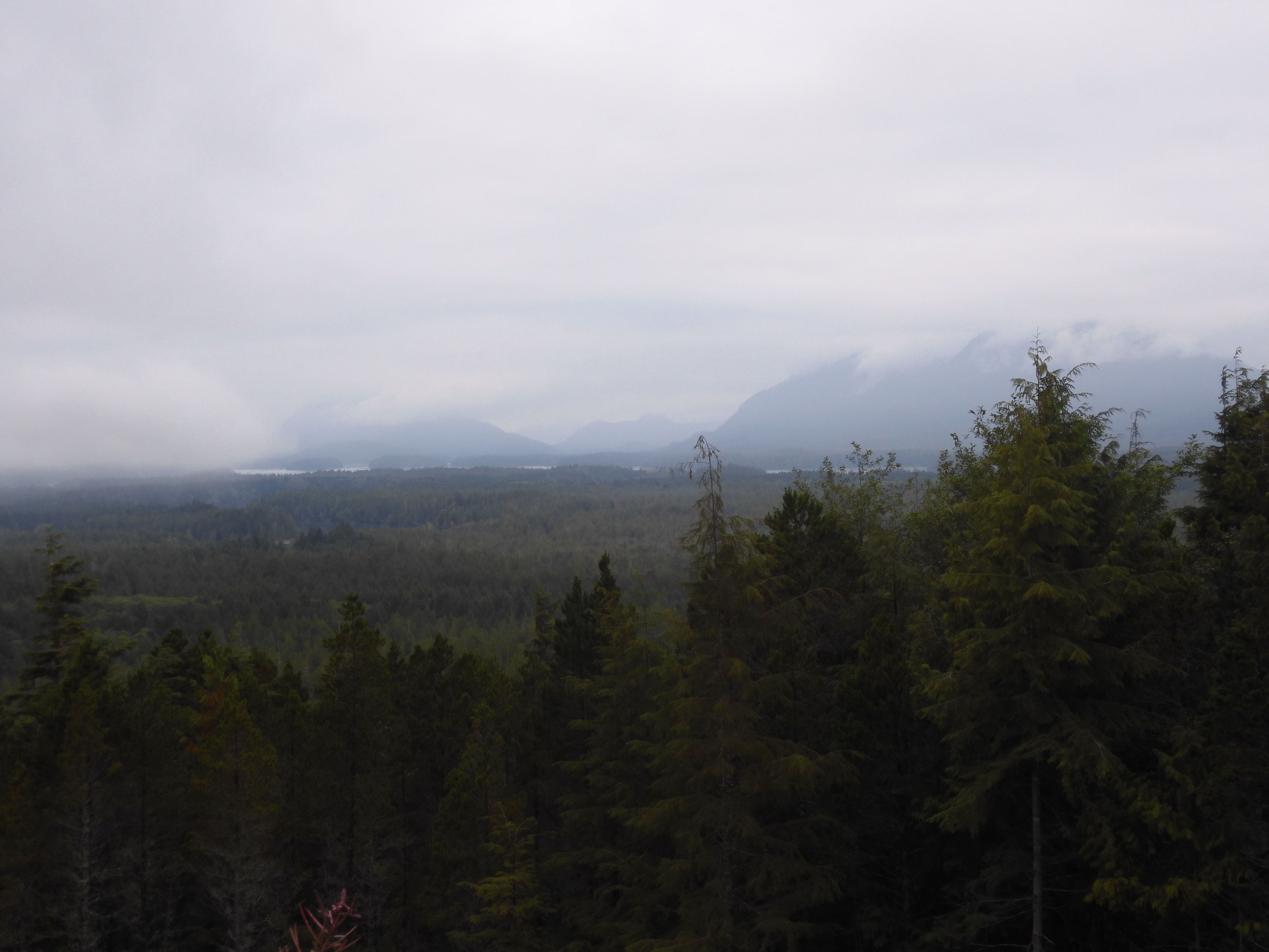
There was a distinct lack of a view from a former Cold War lookout site. The Soviets could have attacked in the fog and smoke. Photo by Eric.
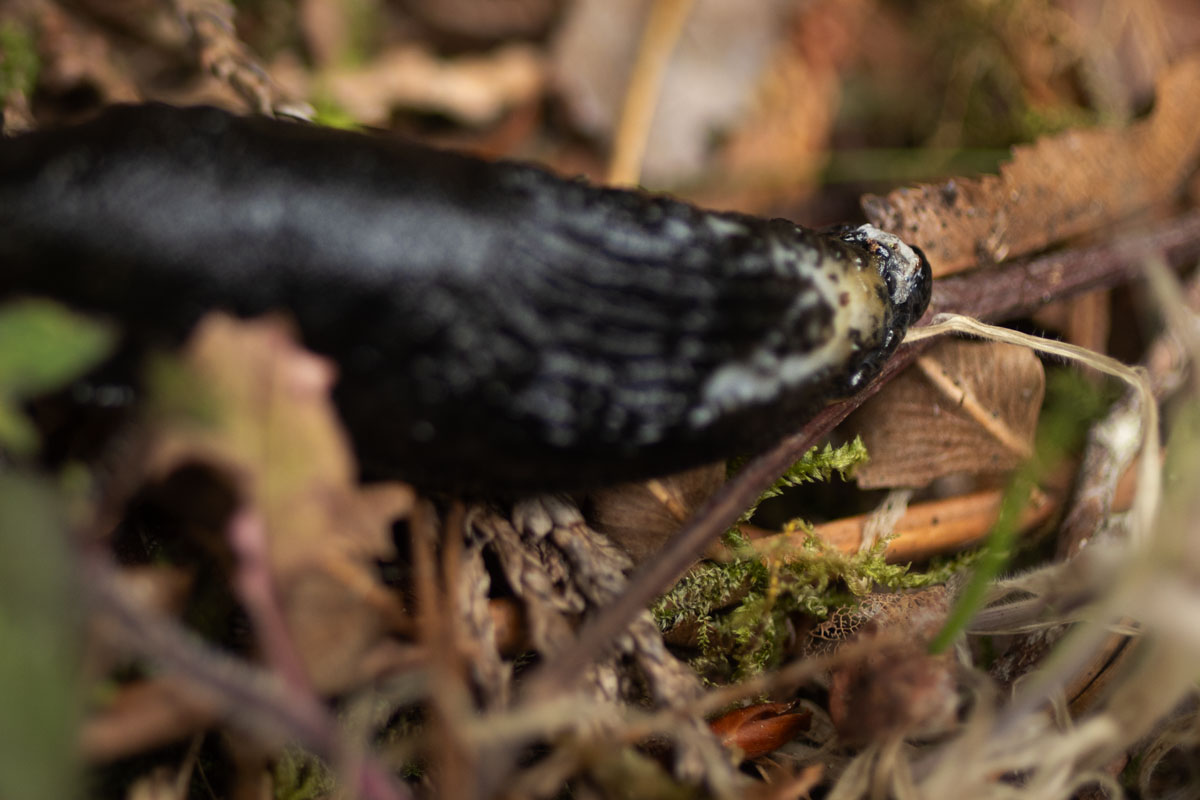
I found a black slug by the trail.
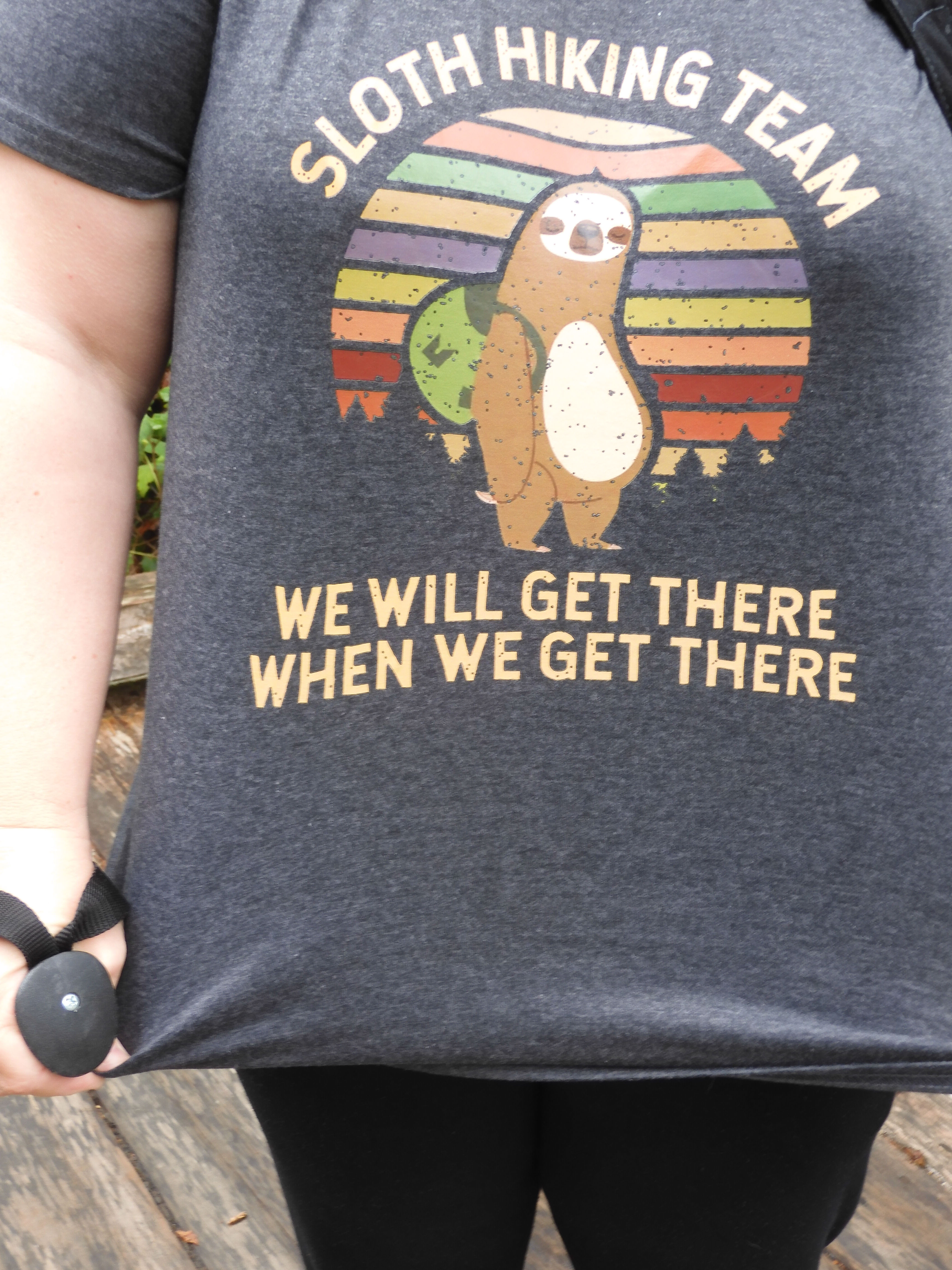
Eric photographed the T-shirt of another hiker, who turned out also to be a geocacher.
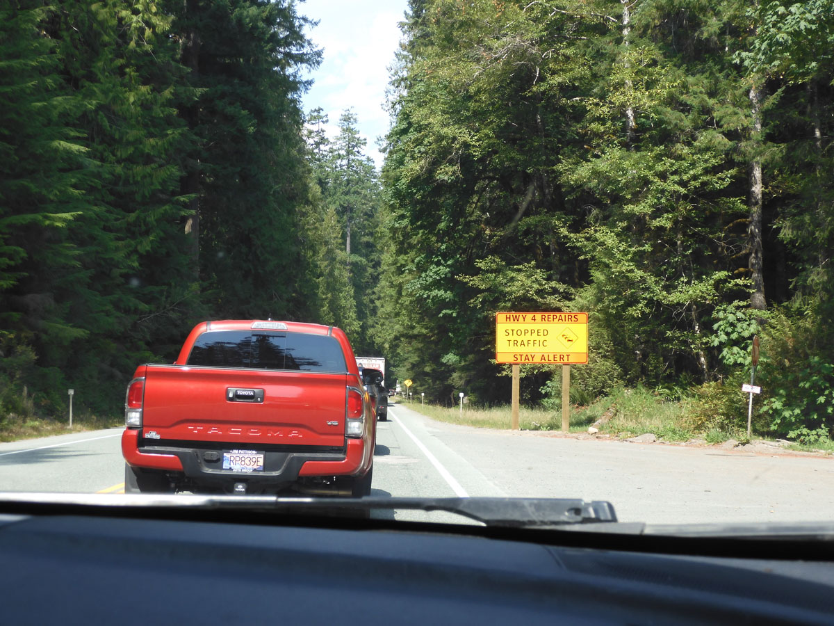
Parks Canada places physical geocaches for cachers, so the group of us went to seek a nearby physical cache. In conversation with them, we found out how extremely lucky we had been in geting through the road construction the night before. BC Rt. 4 was suffering from major construction delays. The time was now 10:20, and the road was closed until 11:30. Then it would open for two hours, and close again from 13:30-17:00.
We had a hard time believing that this could really be true, but they showed us the schedule on a website. We were just about two hours from the closure site, they told us, so, if we hurried right now, we could make it. We stopped only to pee in the bushes, jumped into Mather, and Eric drove like mad down the twisted highway. We had to skip picking up the grocery order in Port Alberni, figuring we would get groceries instead in Parksville on the other side of the closure.
We reached the closure at 12:52.
The spot where we stopped was just past one of the sites we'd planned on visiting, but, that, too, was closed. We waited, grateful that we had met the other cachers and found out about the closure when we did. We began moving at 13:08. At times, we were even able to make it above crawling speed.
We reached a sign that said "Construction 4 km" at 13:20. If we were able to maintain speed, we could make it.
At 13:31, we were still moving, and within sight of the flag person. We held our breath.
Alas, the red and white bar went down six cars ahead of us.
Such a disappointment. Such a frustration. We had expended more than two hours' of effort, and passed up so much, all for naught. We would not be able to do the planned hike the next day. Most of two vacation days, just ruined.
Angry and despondent, we returned to Port Alberni and picked up the groceries. I went to a post office to mail a present for a Canadian friend. The postal clerk explained to me that the road closure was not for ordinary construction, but because of landslide risk caused by recent fires. That made me feel quite a bit better. But she also said that there was a fire near Strathcona, our planned camping destination for the next two nights.
We hemmed and hawed and considered what to do. Should we just go back to Tofino? It was lovely. But the road would be entirely closed all day the next day, and only open on the same limited schedule on Wednesday. We were on a peninsula, and there was no other road off of it. It seemed better to escape the trap we had inadvertently driven into.
But after that, what? Should we go to Strathcona after all? Or just give up and return to the US, hoping for better conditions?
I examined some fire maps and forecasts. The forecast the next day was for only a moderate level of particulates in Strathcona, and it didn't look like things were any better back in Washington. We decided to take a chance on Strathcona rather than making major planning changes yet again.
We got some fish fry from a drive-in stand in Port Alberni. It was good, but nothing like Big Daddy's. It was 15:45, and the person who served us advised heading for the road closure immediately. While the road would open at 17:00, it would open in the westbound direction first, and it would probably be 17:45 or even 18:00 before we got through, so it was better to be further up in the line.
We arrived back at the closure at 16:02, two km closer than we had been the last time. We turned off Mather's engine and waited. I wanted some blood circulation in my legs, so I got out and walked around a bit until the sprinkles became a light drizzle.
Our server had been right--it was 17:45 before we began to move, and 17:54 before we escaped the construction zone. And we were still 195 km/121 mi from our campground. As our projected arrival time in camp was now 20:06, we drove past the rest of the Mt. Arrowsmith sites we had planned to see, including another waterfall. I almost wished we hadn't run into the other geocachers. We would probably have gotten to the road closure at about the same time, but, rather than spending the day racing around trying to beat it, we would have seen at least some more of the intended sites.
On to Quadra Island.