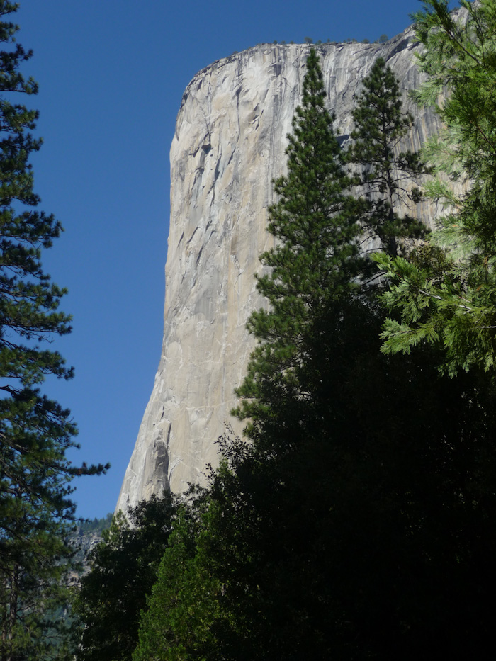
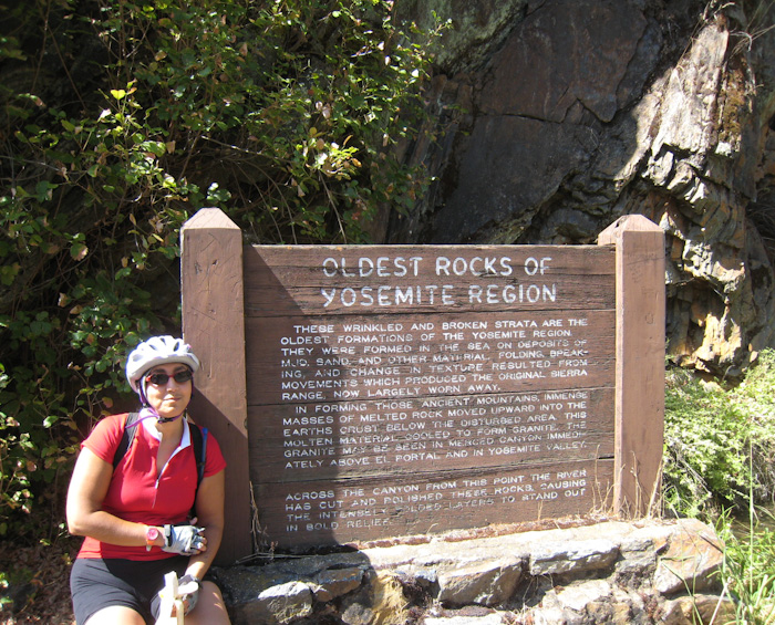
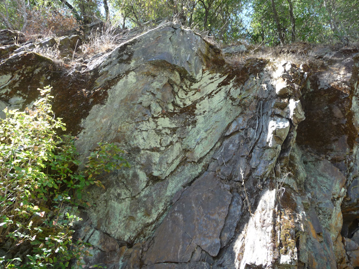
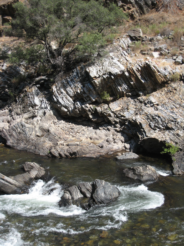
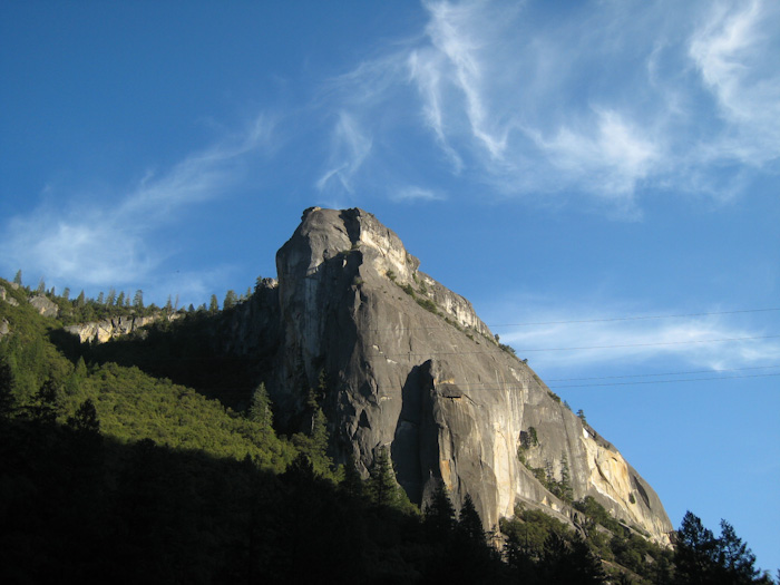
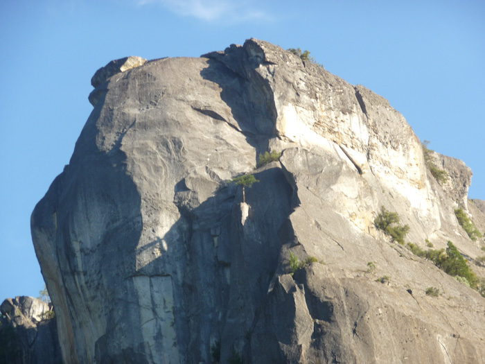
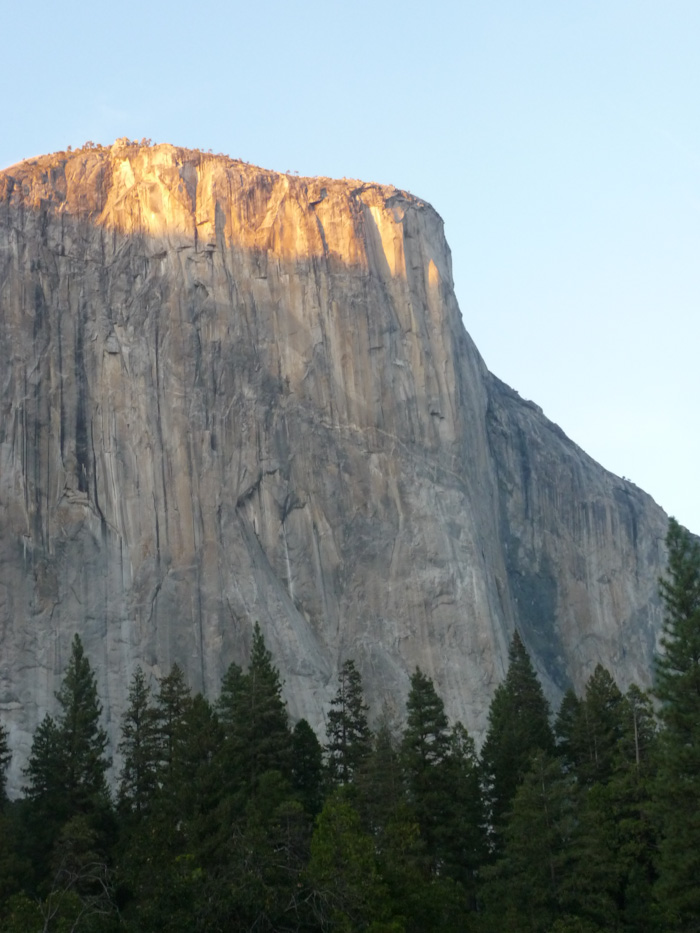
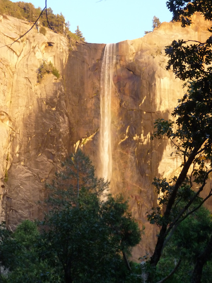
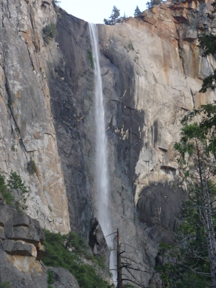
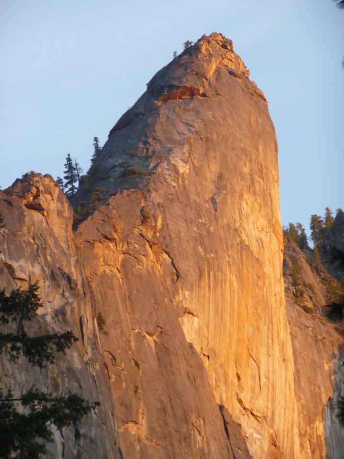
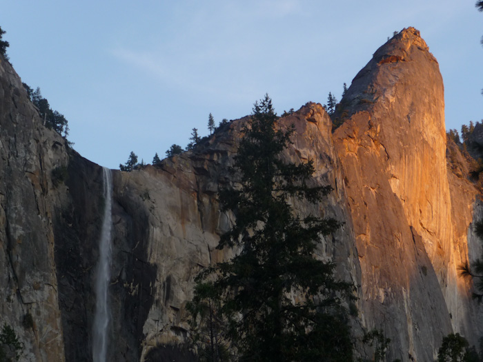
Yosemite. Roadside Geology of Northern and Central California describes Yosemite Valley as, "America's archtypical glaciated landscape, an object lesson in what enormous valley glaciers can do with an enormous mass of granite." It's a gorgeous landscape, full of waterfalls and amazing geological features, such as El Capitan, above. The valley is up to 1,600 m deep (1 m), according to Wikipedia; most of it is roughly 1,000 m (3,300 ft). This makes for some truly spectacular scenery.
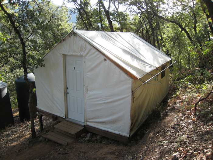
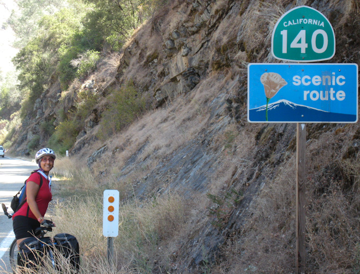
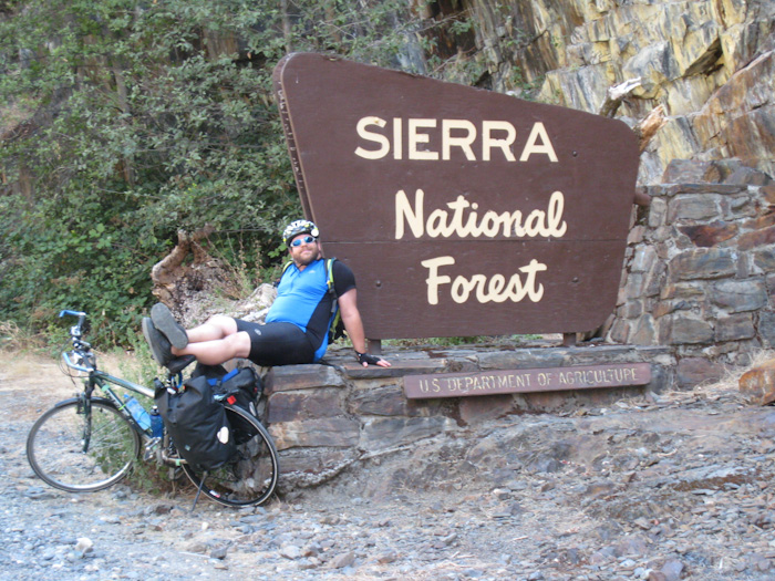
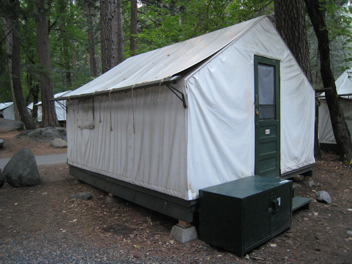
Eric and I try to do an overnight bike trip every year, and this year's choice was from Lonely Planet's Cycling USA West Coast, called Yosemite's Western Gateway. It started from the Yosemite Bug Hostel in a town outside Yosemite called Midpines, and followed California Route 140 up into Yosemite Valley. I had driven up Route 140 once before with my mother, and remembered it as absolutely gorgeous. Since we were going in September, Eric was able to get us a camping reservation at Curry Village in the valley. I have never been able to get a camping reservation in the valley before; in the summer, even booking six months out, I've always ended up at Hodgdon Meadow or Tuolumne Meadows. The ride was listed as moderate-hard, but both the Bug Hostel and Curry Village had tent cabins with cots, so we did not have to bring any shelter or bedding. Cooking was also not allowed in Curry Village (because people leave food out for bears), so we didn't have to bring dishes or cookware, either. The ride was 55 km (34 mi) each day, which is slightly higher than our usual 50 km (30 mi), but we've done 90 km (55 mi) in a day before with all the camping gear. I had been afraid of low mountain temperatures this late in the year, but the weather was forecast to be spectacular. Without any camping gear, this should be the easiest bike trip ever.
Not.
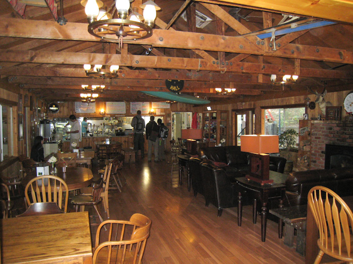
We enjoyed the Bug Hostel, even though we didn't have time to enjoy the hot tub (it closed at 22:00) or any of the yoga classes or spa treatments.
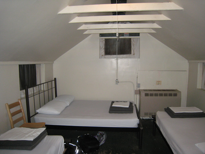
The whole hostel was built on a steep hill. We had to park in the upper parking lot, and we got the last space available there. If we hadn't gotten that one, we would have had to park far, far up the hill. Our cabin was fairly far up the hill.
By the time we got to sleep, it was 23:45. I had wanted to get eight hours' sleep, but decided to settle for getting up at 7:15.
In the morning, we showered (after retrieving soap from Sydney), packed up our cabin, and put the furniture back the way we had found it. We had a very nice breakfast in the hostel dining area. We ate in a lovely room with large windows overlooking a garden. I had buckwheat pancakes with fruit and Eric had an egg burrito. We took a few minutes to explore the hostel and see the large hot tub, which was being refilled.
Since the hostel was so steep, and there was space available in the lower parking lot in the morning, I decided it would be worth the time to move Sydney down the hill. It was steep enough that, other than for aiming correctly into the new parking spot, I did not have to engage the engine at all. I knew we would be grateful the next day not to have to climb up to the upper parking lot.
Of course, with all this, it was 11:00 by the time we got started. There was a geocache at the Bug Hostel, at the bus stop out by the roadway. But it was full of people, so we skipped it.
Before we got very far, we stopped at a scenic overlook. I chatted with a couple visiting California from Finland while Eric not terribly discreetly looked for a geocache that he did not find. I felt badly that I didn't even know how to say hello in Finnish. The couple had an adorable Mustang convertible with the top down. We would see many of these cars on the road, and I suspect they were all rentals.
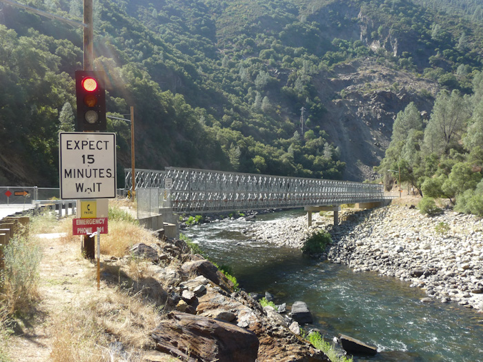
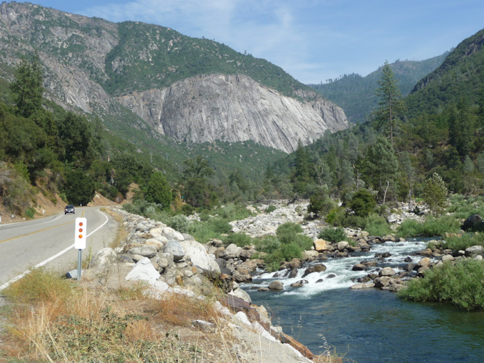
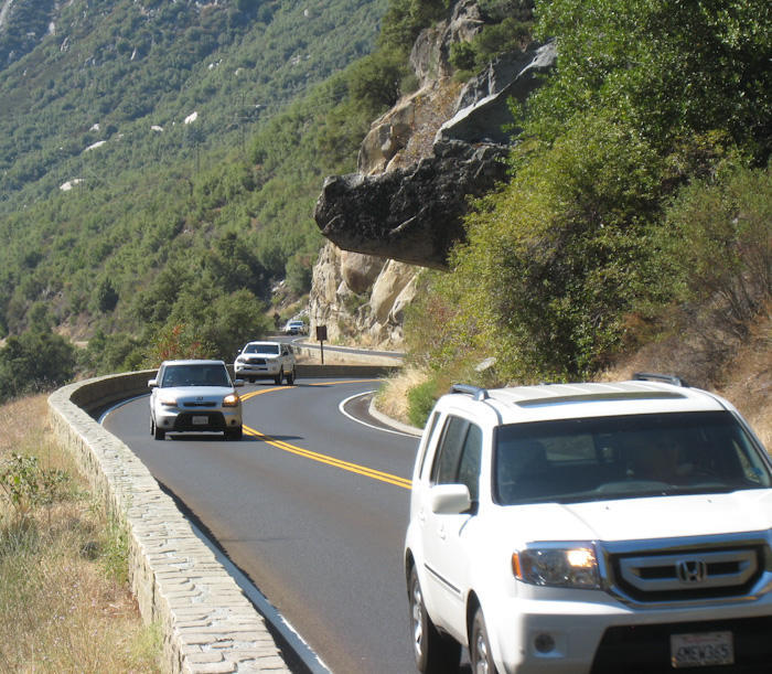
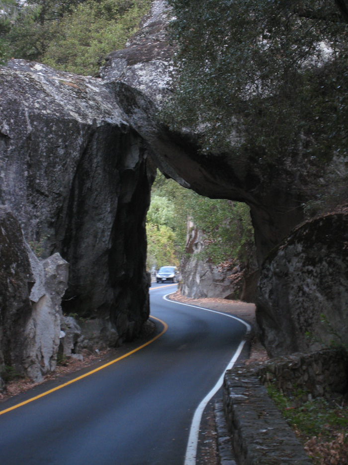
Apparently, a landslide or rockfall or some other mountain hazard has forced a closure of one of the lanes of the road along an approximately 1 km (.6 mi) stretch where the road crosses the river. We jumped on our bikes when we saw the light turn green. Fortunately, we made the light, and it gave us enough time to get through the stretch before traffic started coming from the other way. This could have been a very scary situation, as the road was not really wide enough here for both a bike and a car.
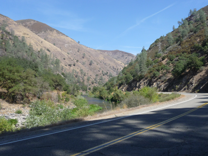
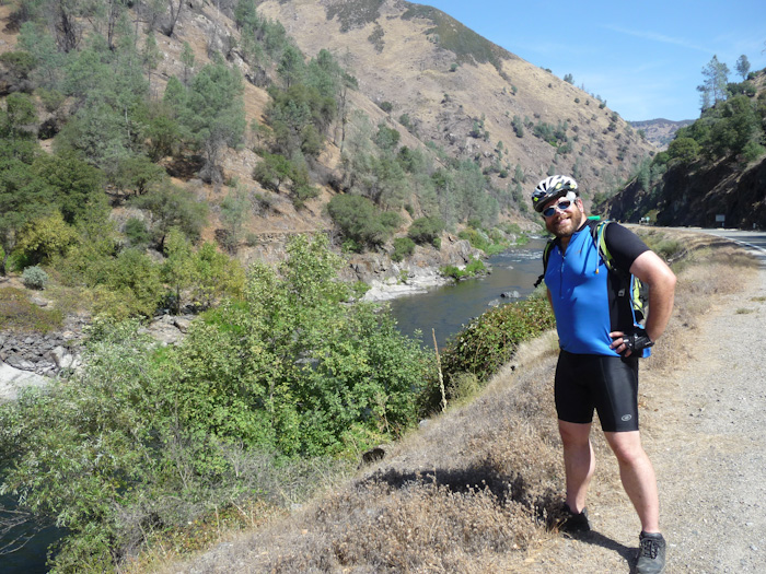
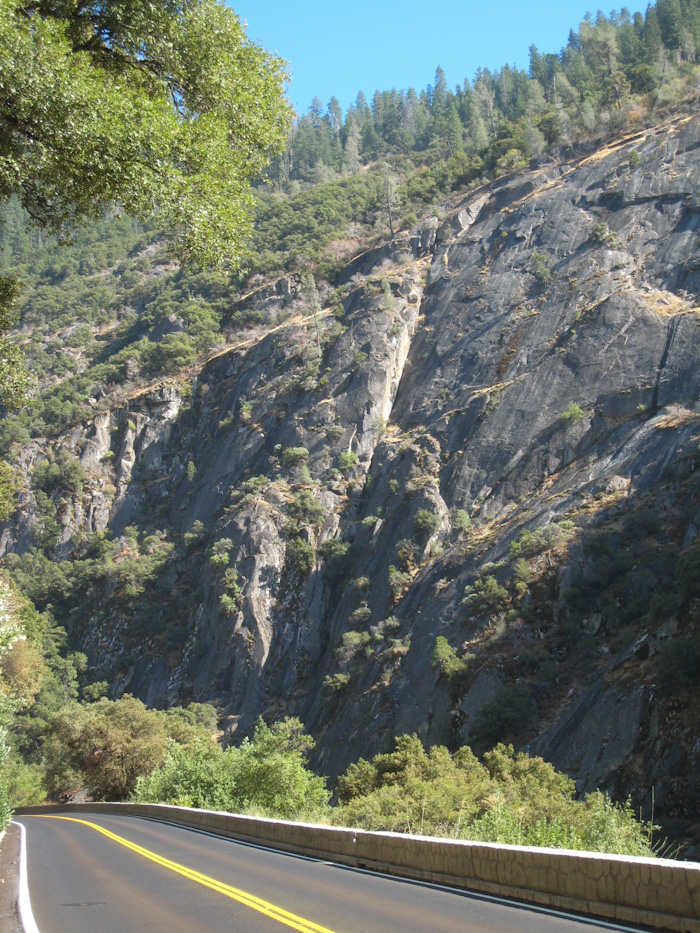
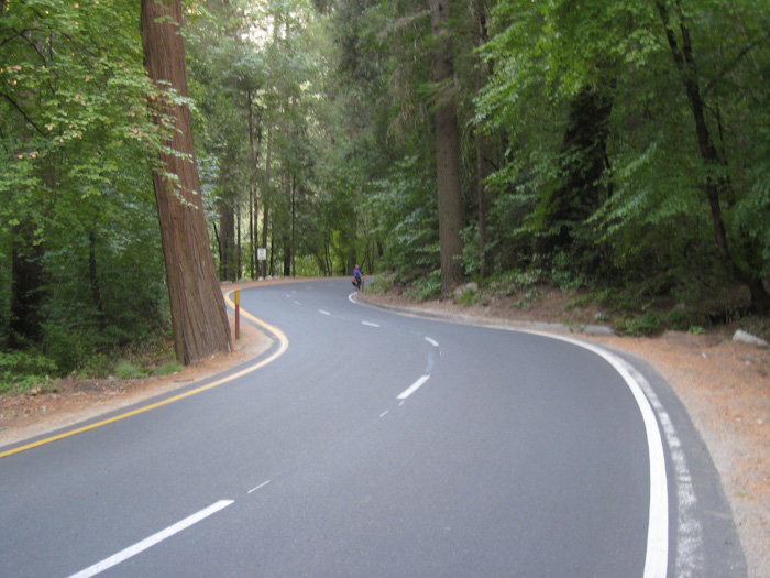
We began the steep climb, in the burning heat. Eric has a low tolerance for heat and needed to stop frequently to catch his breath. What with all of our other summer travel, we had really not had the time we needed to train adequately for the trip. I had remembered the road as shady, but it turns out the shady parts were in Yosemite Valley.
As we approached the ranger station, Scheherazade suddenly started to feel very wobbly. I looked down to discover that her front tire was flat.
Rats.
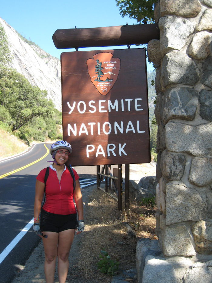
I announced my predicament to Eric. The ranger overheard me and asked whether we were equipped to change the innertube. I said that we were, and she pointed to a picnic area just up the road where we could swap out the flattened tube. We had to pay $10 each to enter the park, which just didn't seem fair, as we would have paid $20 for both of us to drive in with Sydney. The ranger told me she agreed with me completely and gave me a comment card to fill out.
At least we had a pretty place to change the innertube. I removed my spare tube from my bag while Eric inspected the tire for hazards, finding a piece of glass. I had many, many bitter things to say about people who threw things, particularly glass things, out of car windows. Eric noticed that I had bought the wrong size spare tube (it was a narrower tube for a road tire), but we figured it would work well enough. Out of an abundance of caution, Eric told me to save the punctured tube.
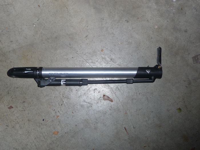
At this point, I noticed that the tread on the tire was facing the wrong direction. Eric tried to insist that the handles for taking the wheels on and off should be on the same side of the bike. I felt it was more important to have the tire tread going in the right direction. Eric agreed to turn the wheel around.
However, as soon as we started riding again, I noticed that my cyclometer was not recording data. Of course, Eric said. Now the magnets were on opposite sides of the wheel. Rather than rechanging the tire, Eric moved one of the magnets to a different spoke on the other side of the wheel. At last, after about 45 minutes, we were on the road again. It had become obvious that, given the lateness of the hour, we would be doing no more geocaching that day.
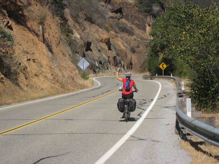
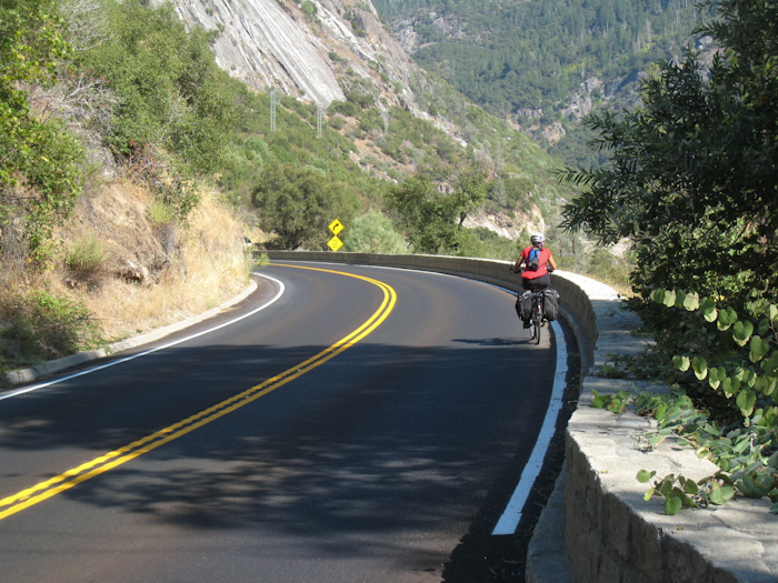
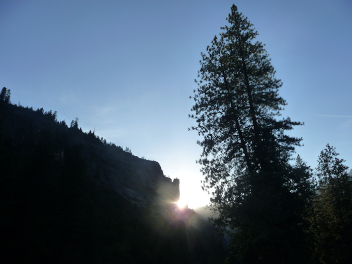
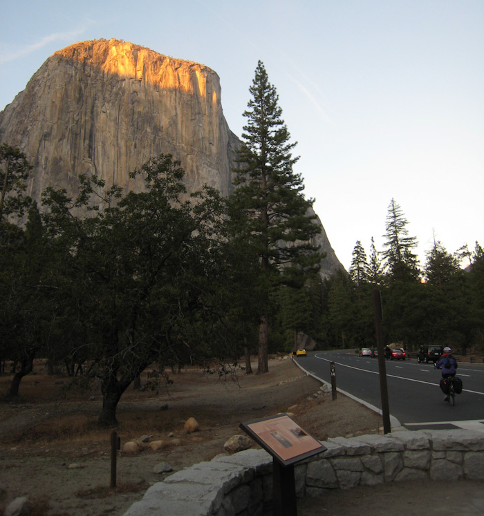
As you can see from the picture, the hour was becoming late. We still had more than an hour before sunset, but I was afraid we would still be riding along this narrow road in the dark. Too many drivers had come too close to me, and I had become quite frightened. I was trying to enjoy myself, but I was scared. To make matters worse, as the sun lowered, copious numbers of gnats emerged from their daytime slumber and began to hover around our heads. As we were still climbing steeply, we were not riding fast enough to rid ourselves of these monstrously annoying beasts.
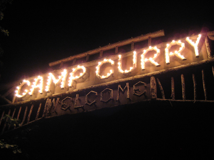
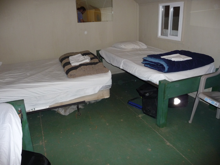
I have been to all sorts of campsites, from developed RV sites, to undeveloped walk-in sites with chemical toilets and no plumbing, to primitive backcountry sites where we had to hang our food from a tree. But I have never seen a camping area as developed as Curry Village. As we drove into center camp, we were surrounded by people. In September! I heard the desk clerk at the check-in counter tell someone that the campground was entirely full. A bunch of hippies sitting in the middle of a pathway showed us where the bike parking was. A lot of people rent bikes in this area, so fortunately, there was plenty of space for Boing and Scheherazade.
We went up onto a large patio filled with people sitting at picnic tables. There was a line for pizza and another one for a bar. We wanted something a bit better than pizza, and it was becoming somewhat chilly for me, so we went inside. We had heard there was a taqueria, but someone told us it was closed. There was a $15 buffet, a window for a cheaper grill, and a number of large television screens displaying a college football game. I felt as if I were in a sports bar. Eric waited in the grill line while I found a tiny empty table. I had a grilled cheese sandwich with mushrooms, and Eric had a Yo-Vege-Mite burger. We shared some fries. You know, they're good for replacing lost potassium.
We made a plan to get up at 6:45 (getting a full eight hours' sleep this time), and tour the park until noon. We agreed that we would leave the valley at noon, which would allow us plenty of time to get to the hostel by 16:30, planning generously on a full hour for the uphill climb at the end. We would sneak into the showers there and have dinner there (we decided sneaking into the showers would be OK if we were paying for dinner), and leave by 18:30. That would be enough time for us to get home by 22:00, plenty of time to unpack and go to bed, with some margin for error.
I confessed to Eric my fears about going down the road the next day. We would be on the side with the rocks, not the side with the river, so there might be blind curves around to the right where we could be squashed.
"We should feel triumphant after climbing all the way up here," I said. "But I don't feel triumphant; I just feel scared."
Eric told me that the faster we would go, the safer we would be, because, as we approached the speed of the cars, fewer of them would pass us. I told him I would do the best I could to go a little faster, but that I surely didn't want to fall down.
We took showers that night, partially so as not to sleep in our sweat, but also to avoid crowds and lines in the morning. In the bathroom, I took a look at myself in the mirror, and noticed that I looked like someone who had been outdoors all day. My cheeks may have been a little bit sunburned. I looked like an adventurer, and I took some pride in that.
As usual, I worried about all the wrong things.
What I should have worried about.