Jasper to Berkeley via Seattle and Portland
Friday-Sunday 21-23 June, 2024
Of course, the Seattle Space Needle.
With sadness at leaving this beautiful place, but also anticipation of returning to the comforts of home (and Patience and Fortitude!), we packed up from Hinton, AB, pointed Mather to the southwest, and headed back toward the United States.
We crossed the US border with relatively little difficulty, although we had forgotten to toss out our fruit before the crossing. We made sure to abandon it before facing the California Fruit Police.
Near the border, we caught a glimpse of Mt. Baker from the freeway. We were very excited to see it, as it had been obscured by smoke during our entire visit the previous year, and we had never seen it before.
We had chosen to stay in Bellingham, WA, rather than Seattle, as it was much cheaper, and a more achievable goal for a day's driving. While obviously more conservative than Seattle, we found that the place still had some enjoyable Pacific Northwest culture.
We found a food truck pod, and I had an odd combination of nachos with curry for dinner. We topped it off with some organic ice cream whose price would have been outrageous even if the dollars had been Canadian.
We rose early enough to make the 1.5-hr drive to Seattle to meet friends for a late brunch.
We were delighted to see that the mountain was out as we entered Seattle.
From the road, facing west, we could see another mountain that must be Mt. Olympus out on the Olympic Peninsula.
Brunch at Hattie's Hat in Ballard, Seattle. Left to right: Tyler, me, Andreea, Coe, Christopher & photographer Eric.
Most of the group dispersed for other events after brunch, but Coe took us on a walk around the Ballard (Hiram M. Chittenden) Locks in the nearby canal.
Ballard, decorated for Pride month.
Coe and Eric posed for a photo as we walked through the nearby botanical gardens.
It was Saturday afternoon in the botanical gardens, and a youthful brass band was performing jazz standards such as "When the Saints Go Marching In."
The drawbridge was open in the channel between Salmon Bay and Shilshole Bay, along the waterway between Lake Union and the Puget Sound.
Boats waiting in the lock for the water level to change, allowing them to pass through the lock.
A harbor seal swam in the channel.
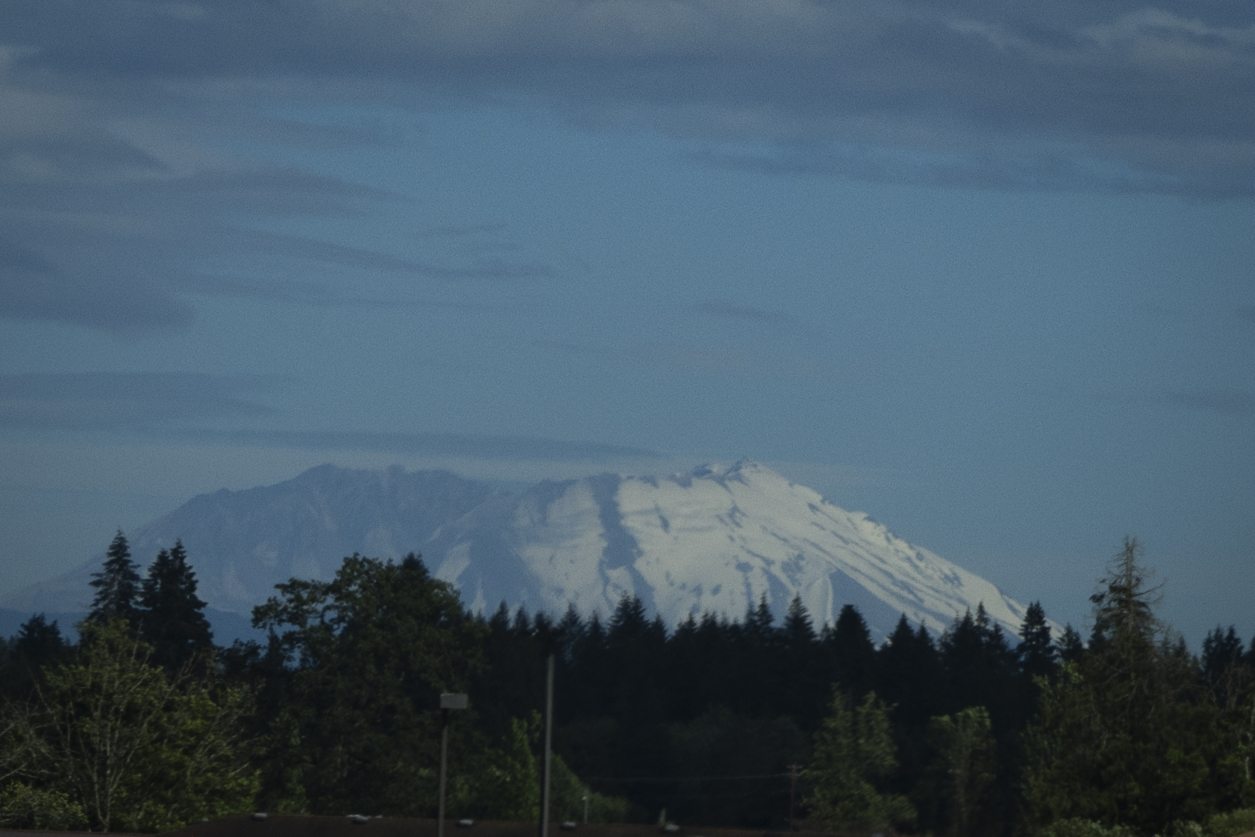
Heading south after our lovely walk with Coe, Eric photographed Mount St. Helens. We remembered with pride our hike up to the crater rim the previous September.
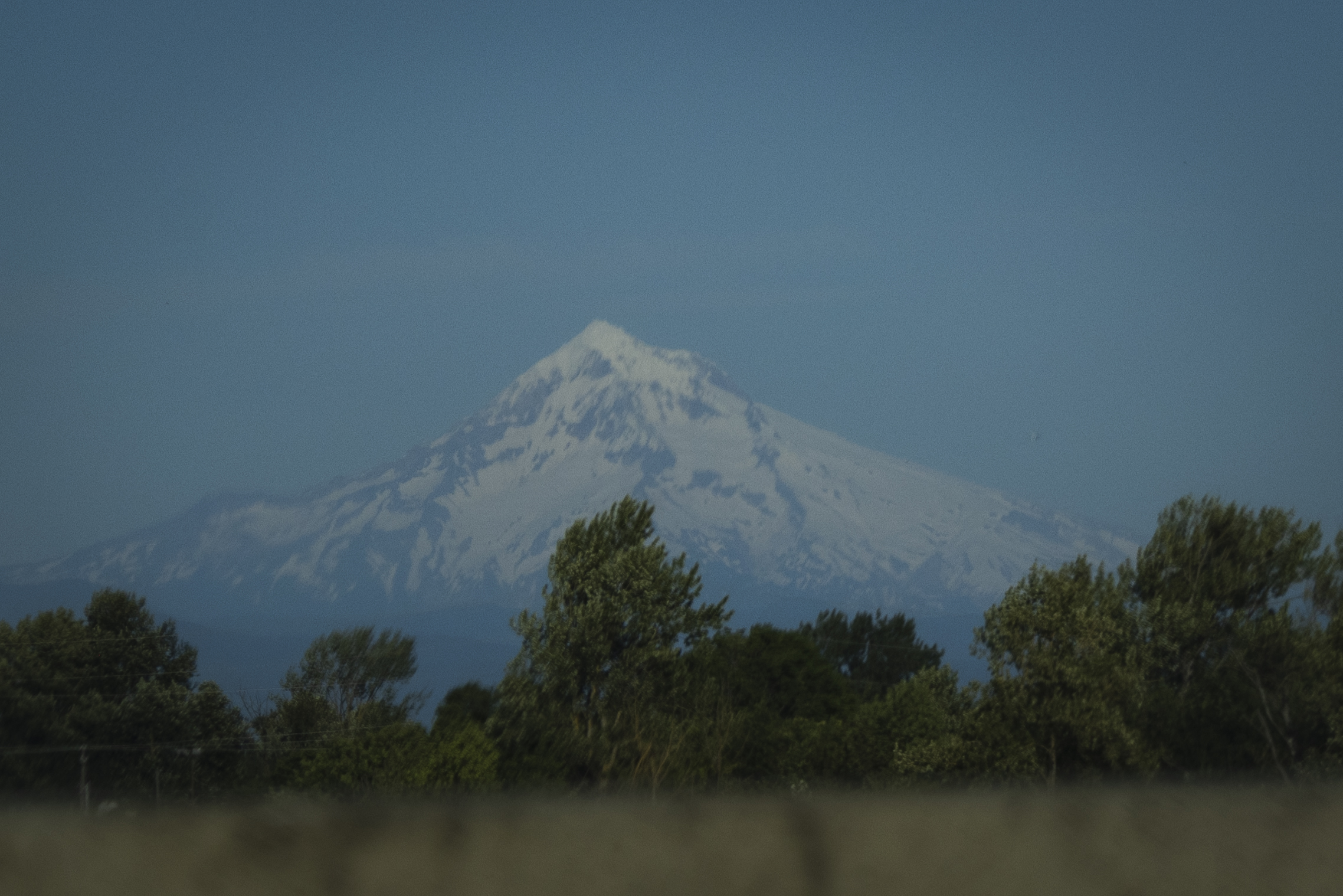
I drove over the Columbia River, entering Oregon, and Eric photographed Mt. Hood from the freeway.
As we had done on the previous trip, we brought together a group of friends for dinner at a food truck pod in Portland called Hawthorne Asylum. Left to right: me, Ronda, Sean, Breyana, and photographer Eric.

Hannah and Rome arrived after we had finished dinner, and we spent some chatting with them.
For the first time since we had crossed the border into Canada almost two weeks before, we saw darkness fall.
We spent the night in another unremarkable hotel, and set out in the morning for home. We drove down I-5 through Oregon.
We came back into Weed, where we had left I-5 for US 97 on the way northbound. We completed a loop and headed down kind of a string for the balloon, between Weed and Berkeley.
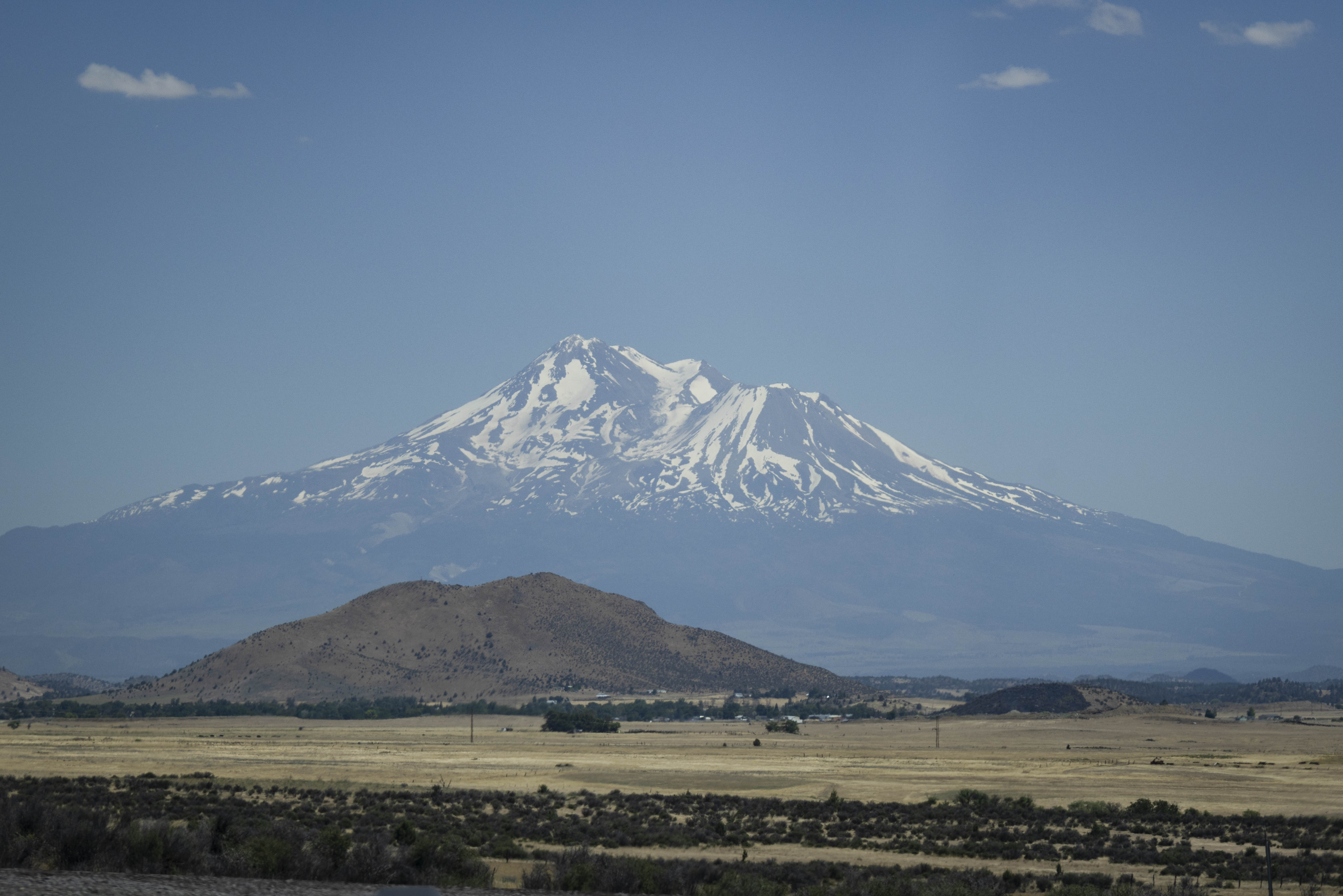
The usual shot of Mt. Shasta from I-5 on the way home, by Eric this time.
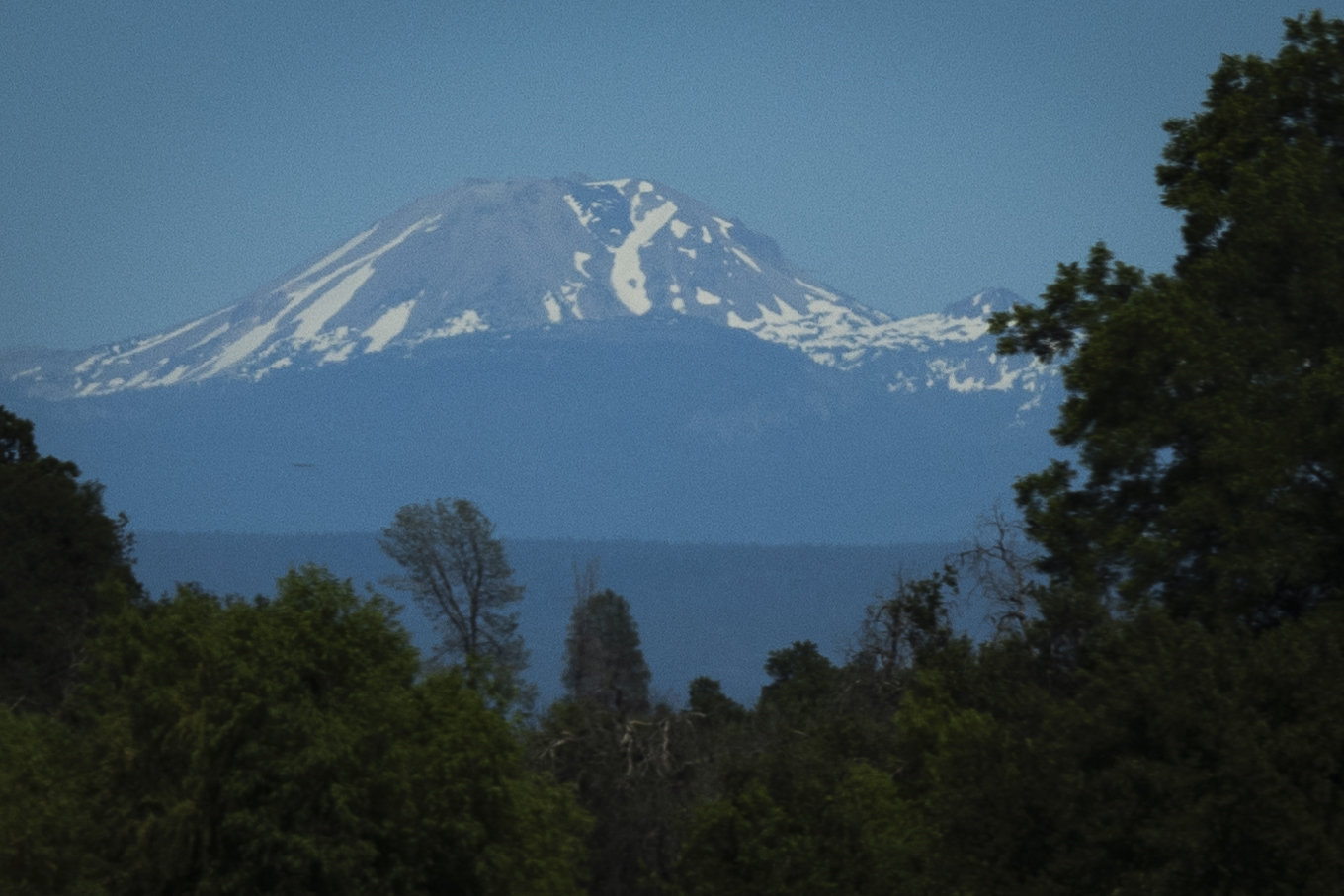
My shot of Mt. Lassen. We had previously hiked to the summit of this one. So many beautiful Cascades! Volcanic, so different from the Rockies, and yet still amazing mountains.
Mather's thermometer went up as high as 103° F, and my phone said 30° C, in northern California. You could drive much further in northeastern North America without seeing such extreme temperature changes!
Day 15 distance driven: 540 mi/869 km, cumulative 2,975 mi/4,788 km
Day 16 distance driven: 273 mi/439 km, cumulative 3,248 mi/5,227 km
Day 17 distance driven: 625 mi/1,006 km, cumulative 3,873 mi/6,233 km
Back to main trip page.