Devil's Garden
Wednesday 15 September, 2021
The story of Devil's Garden is that this part of Utah was once covered by a historic sea like the Great Salt Lake. This sea was sometimes landlocked, concentrating salts within it, much as we see at Mono Lake today. As mountains rose beneath the lake, the area was bent into a convex fold called an anticline. The salts flowed downhill like glaciers, destabilizing the rock that was left, such that it spread out into fins as it was pushed upward. (Source: Roadside Geology of Utah by Williams, Chronic, & Chronic)
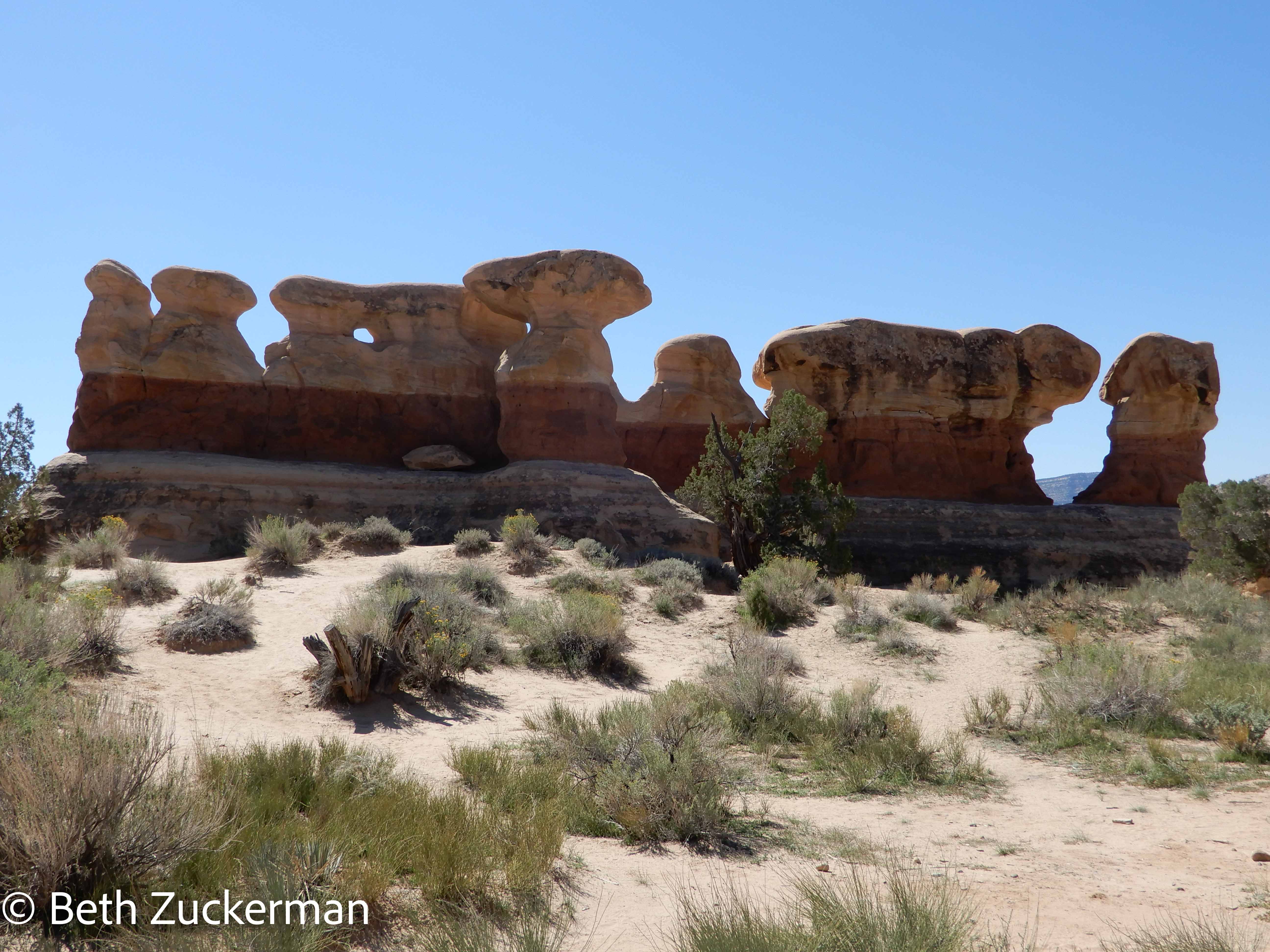
Impressive hoodoos photographed by Eric from the parking lot. I believe the top layer is Entrada Sandstone, the darker layer Dewey Bridge/Carmel Formation siltstone, and the bottom layer Navajo Sandstone, but I am guessing based on the diagram in the book for Arches National Park.
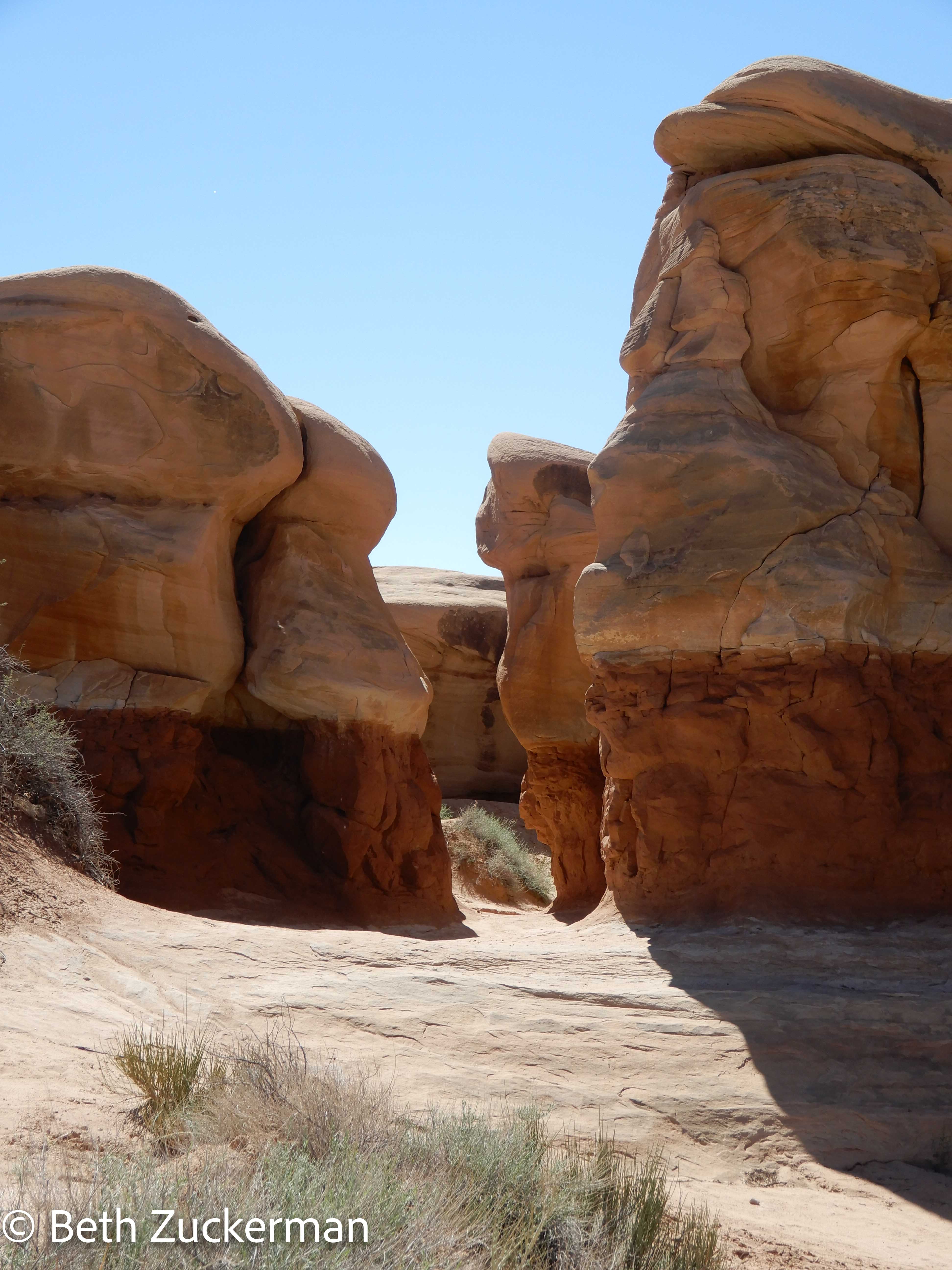
Eric's photograph of the walk through the hoodoos.
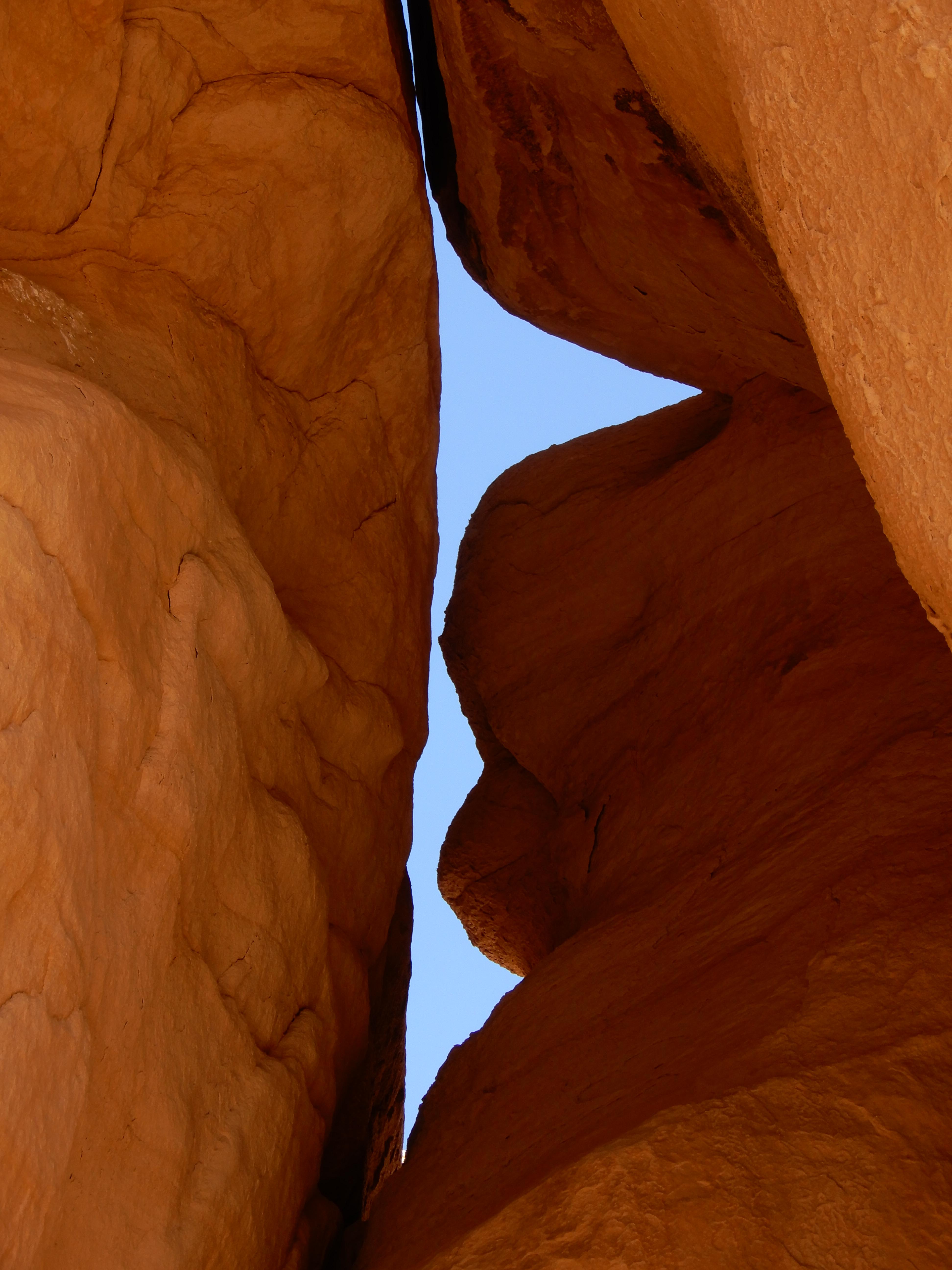
Eric's photo looking up at the hoodoos.
Our friends Rachel and Aaron, who had joined us on one of our training hikes, were also on a road trip of the area at the same time. We had made a plan to meet them, and we had seen their car in the parking lot. So I climbed up to the highest ridge and looked down over the area. I didn't see them, but the view was great.
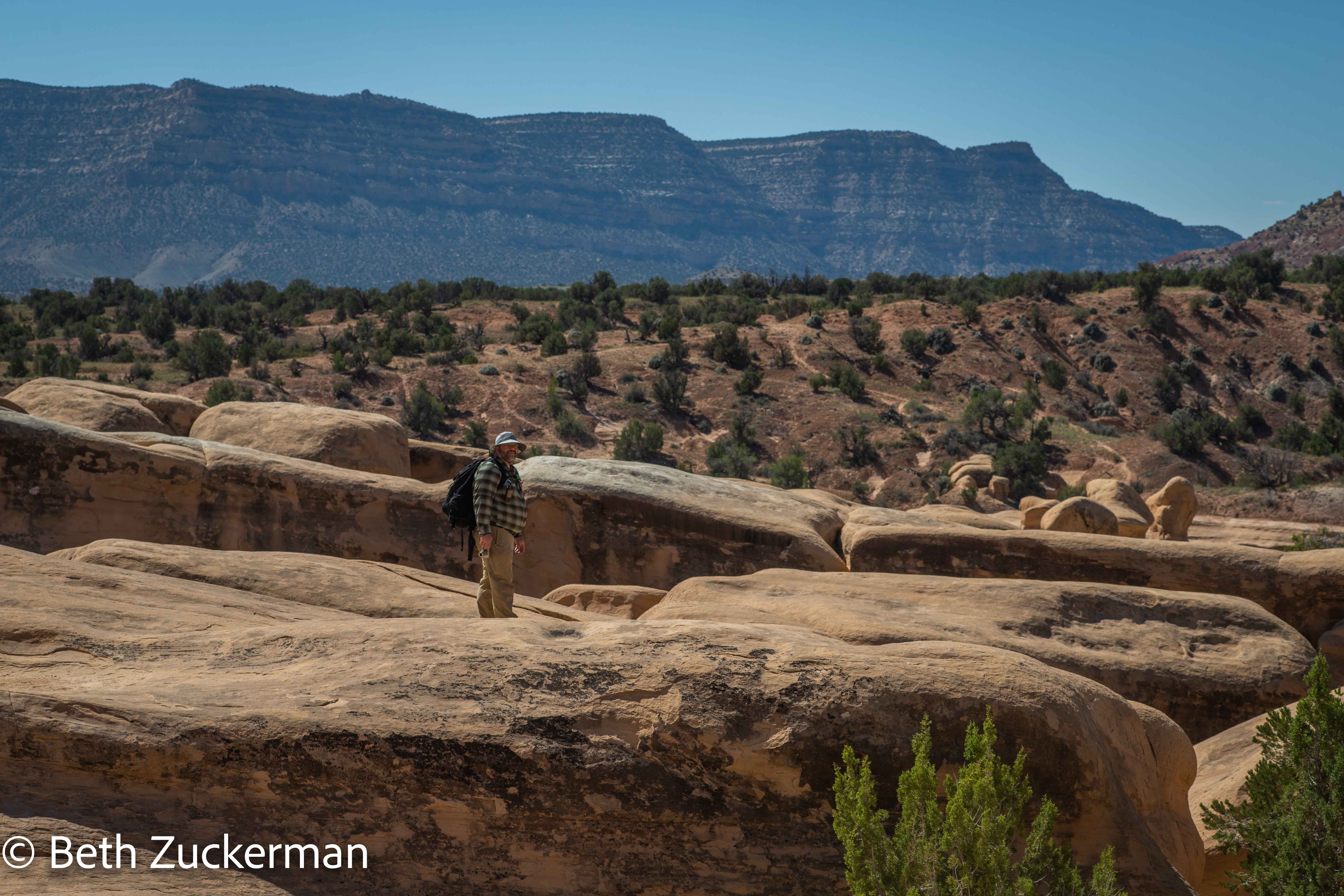
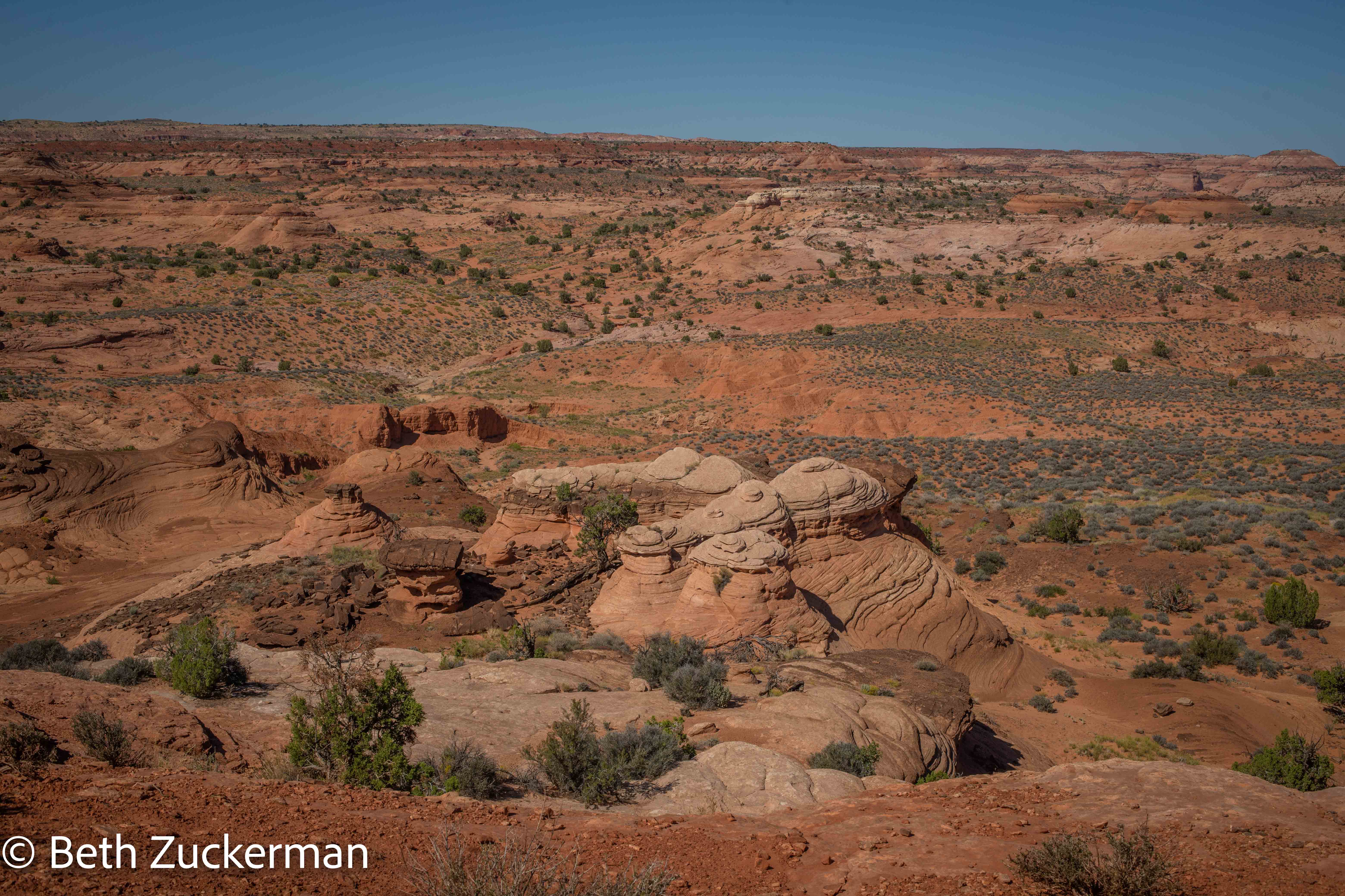
Looking down from on high.
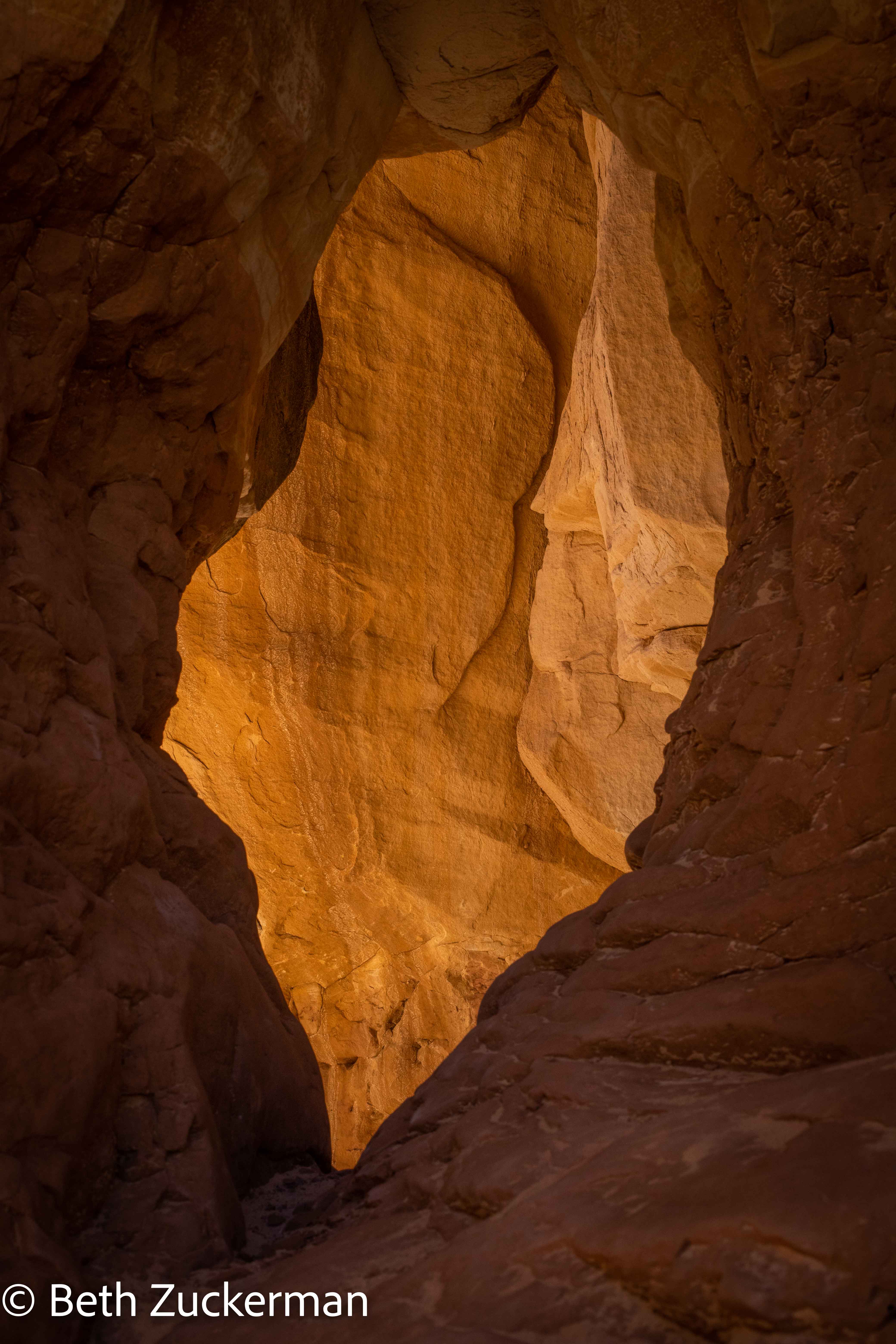
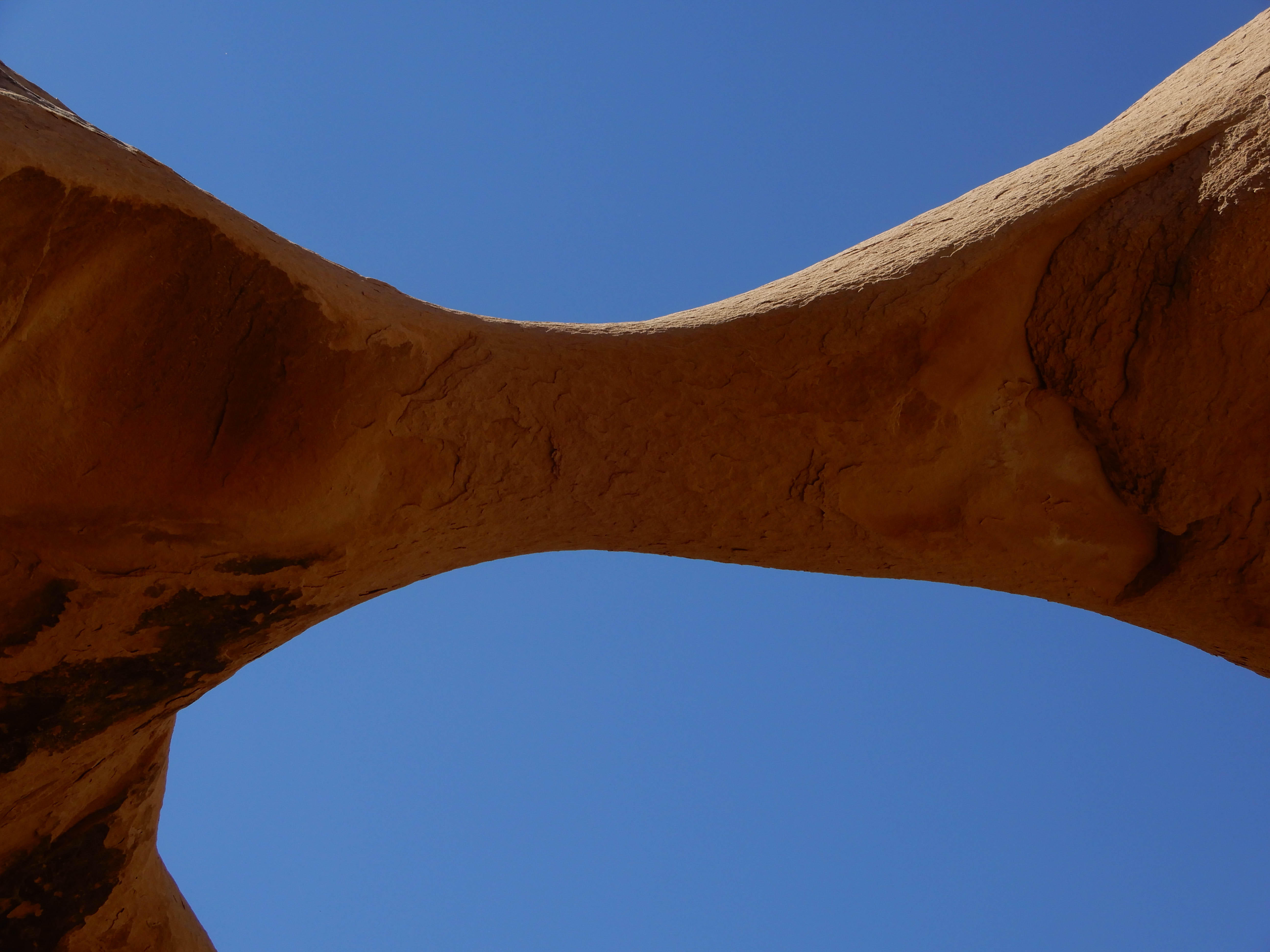
Window in the rock.
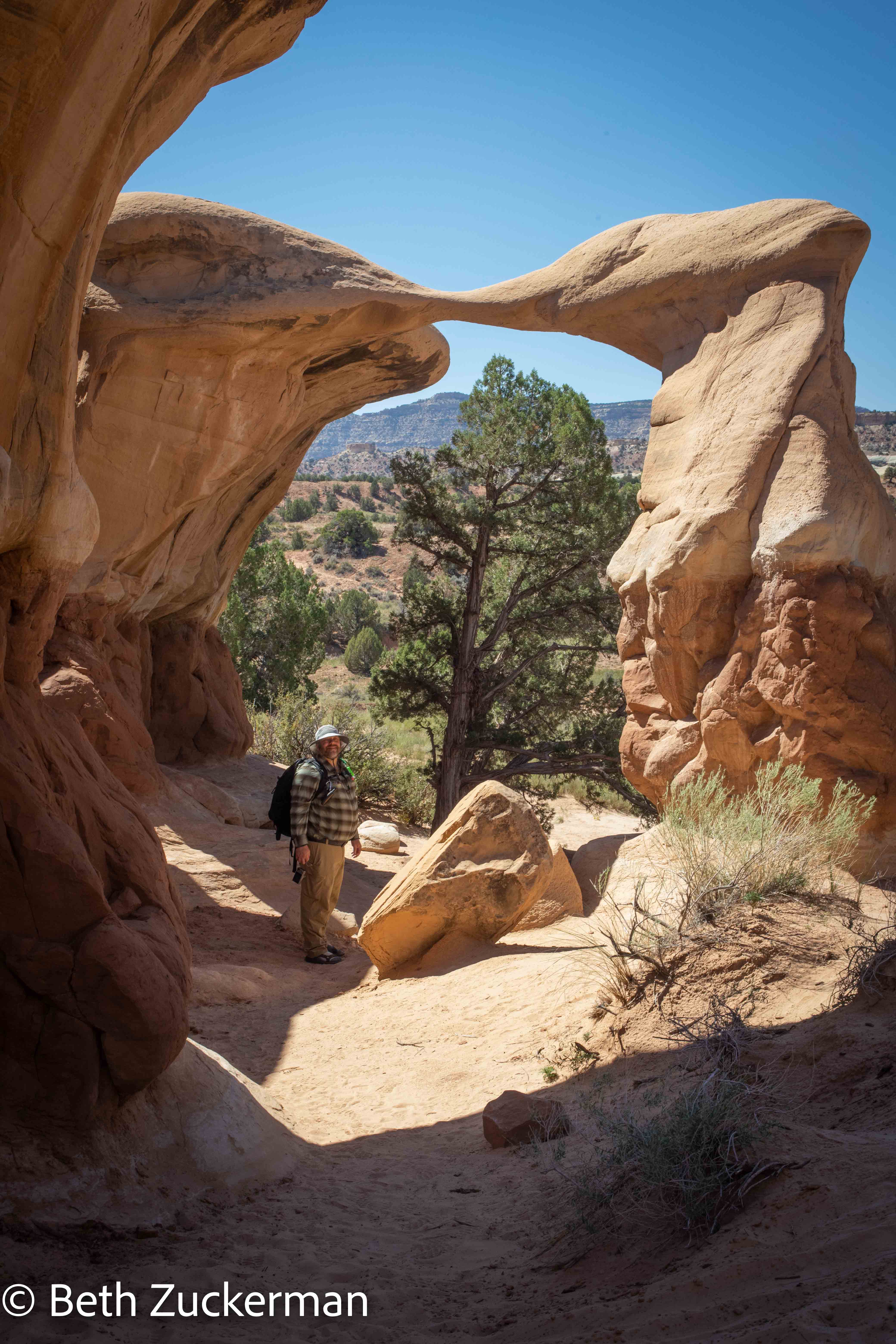
Roadside Geology of Utah explains how the finning process is excellent for creating arches, as the rock below gets eroded away, leaving the more erosion-resistant Entrada Sandstone intact above it.
Eric posing under an arch.
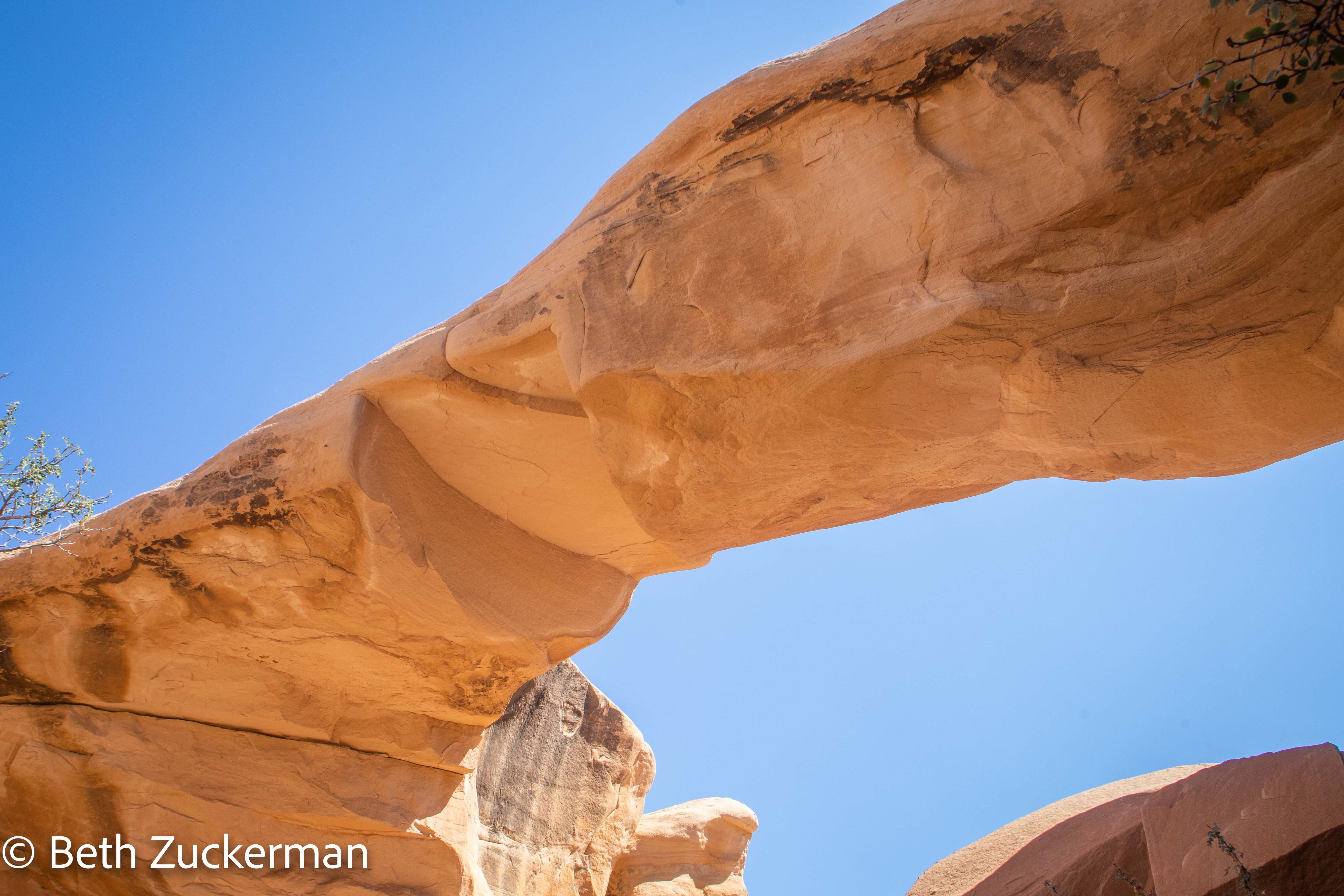
Eric took a picture looking up at another arch.
The beauty of the landscape.
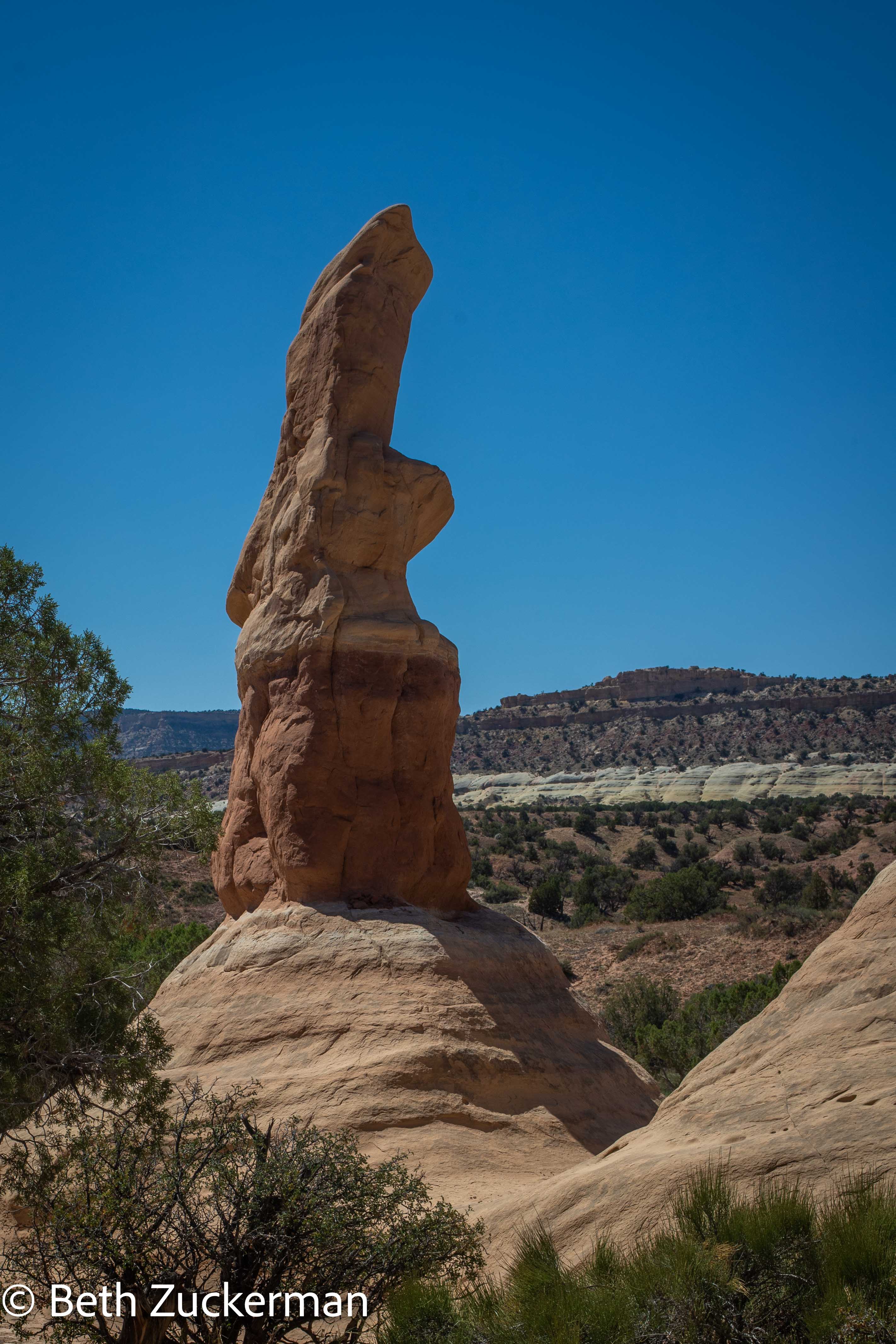
An exemplary hoodoo.
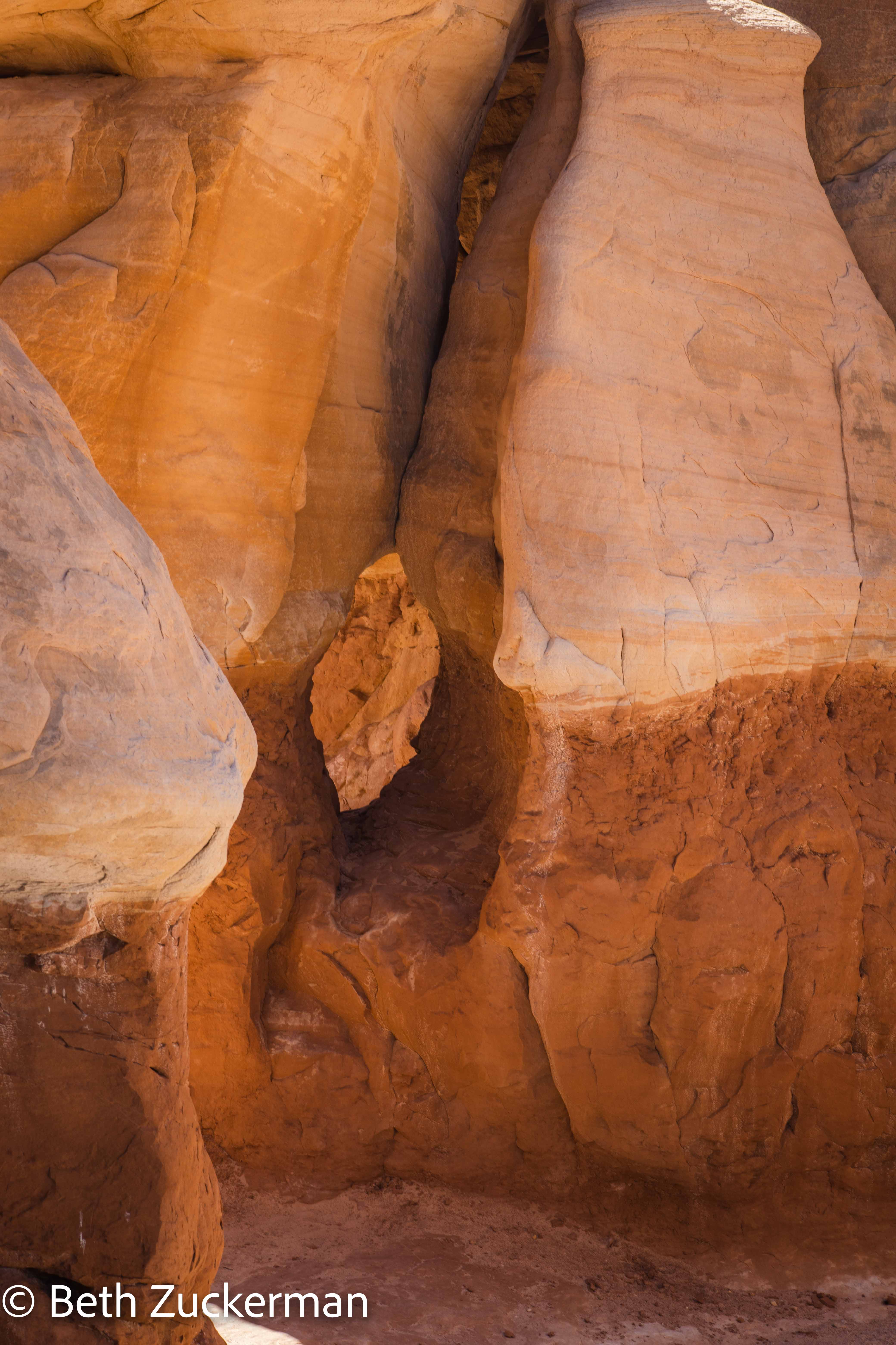
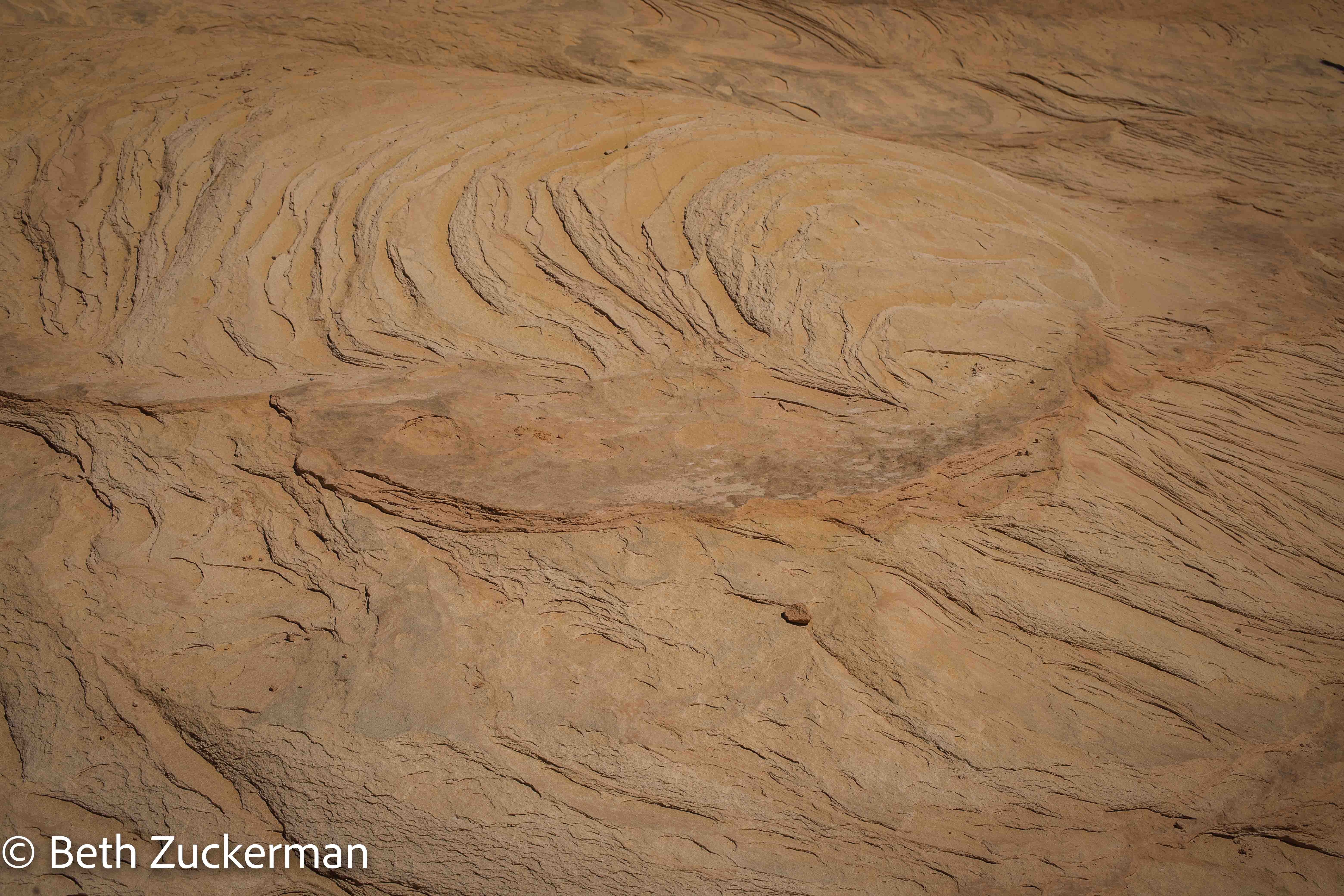
I admired the patterns of the erosion in the sandstone.
Suddenly, we saw Aaron pop out from among the hoodoos and greet us. Eric had deliberately parked right next to Rachel's car, and, when Rachel and Aaron returned to the parking lot, Rachel had recognized Mather and sent Aaron back to look for us. We went back to the parking lot to exchange trip stories.
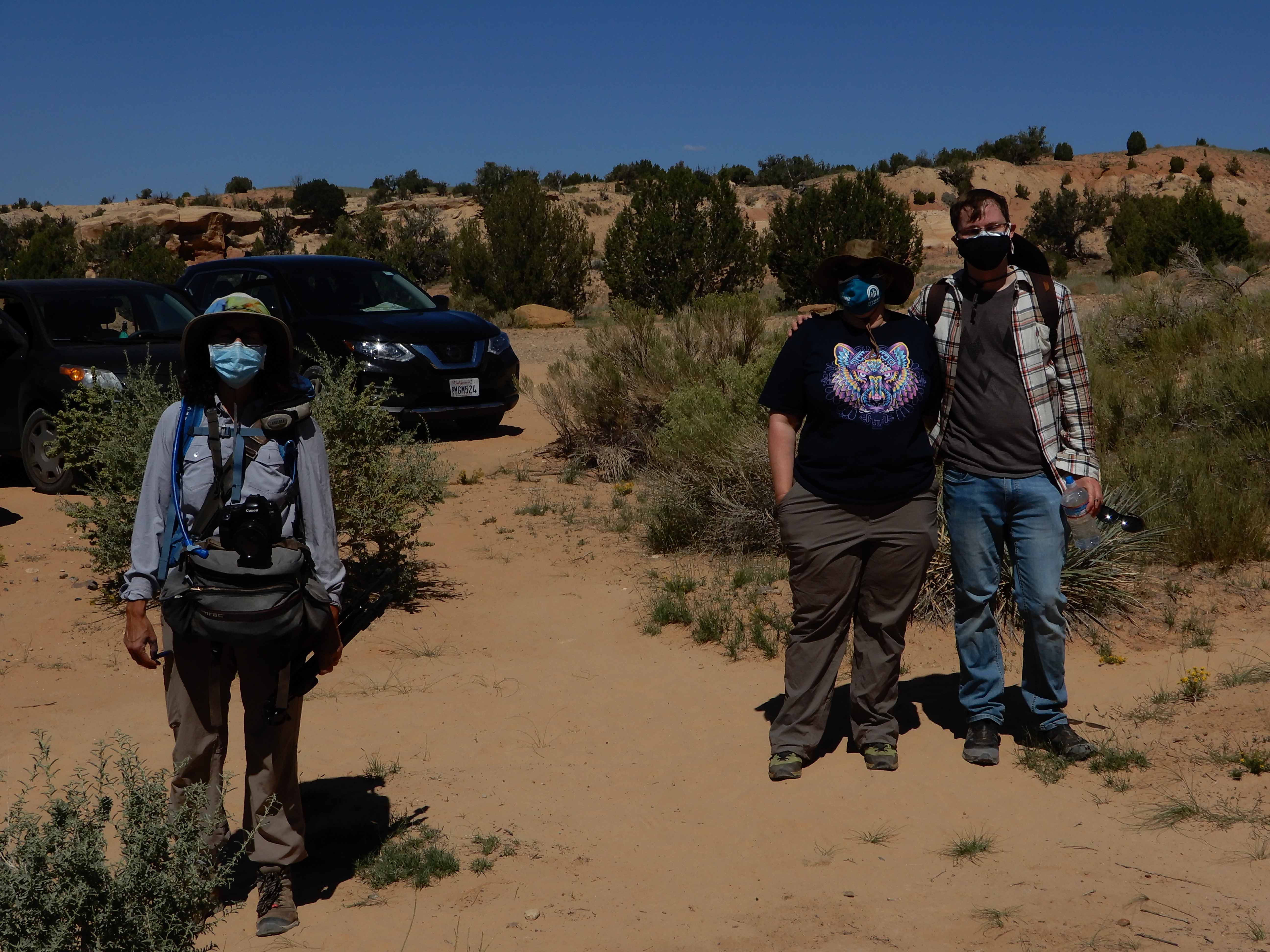
Eric took a picture of me with Rachel and Aaron.
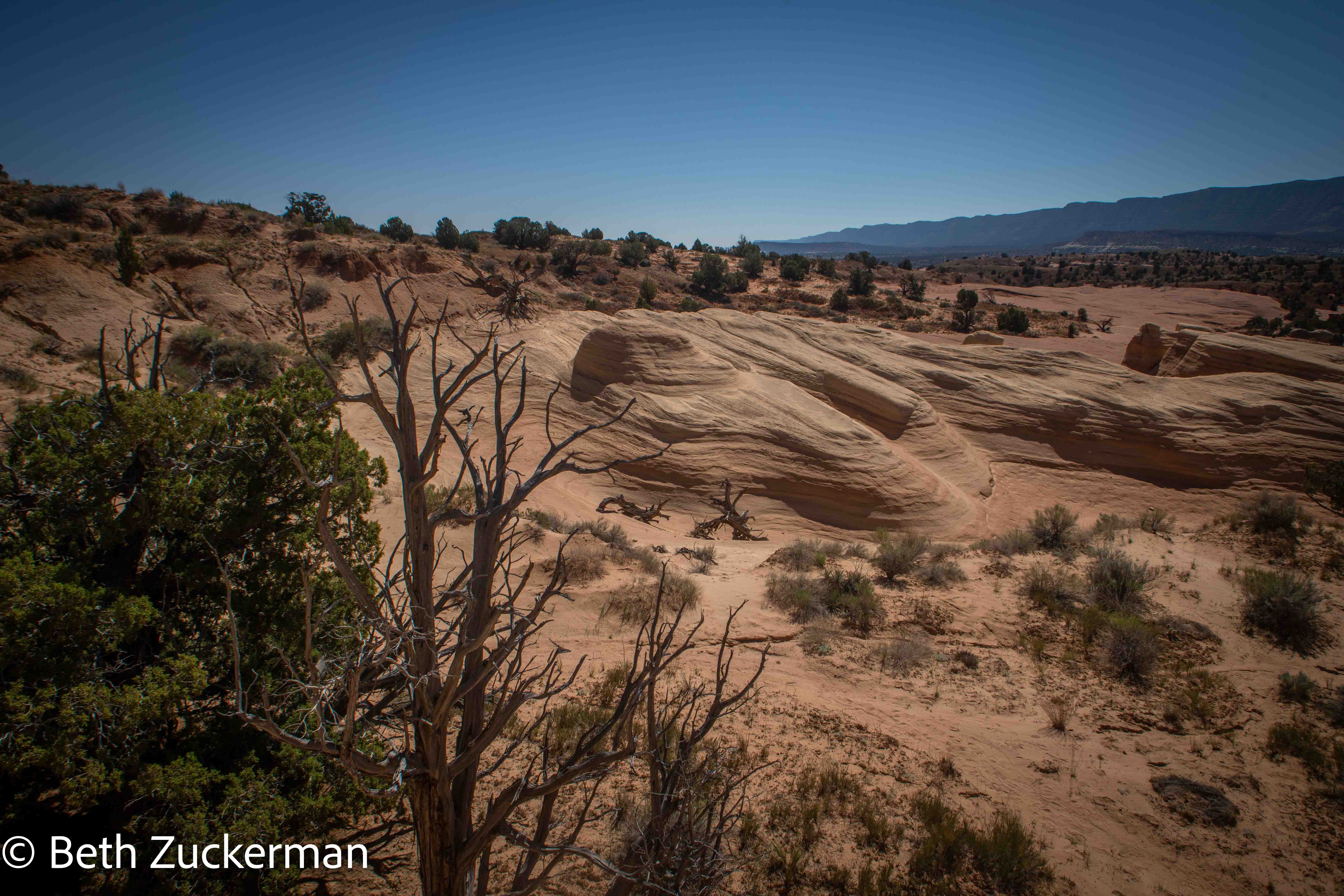
Our plan after Devil's Garden involved driving further down Hole-in-the-Rock Road, not all the way to the hole in the rock overlooking Lake Powell in Glen Canyon National Recreation Area, but far enough to see a couple of slot canyons. Unfortunately, we hadn't read enough about the hike before we left, and it turned out to be much further than we had expected. We set out with my 3-kg/7-lb tripod, and Eric in sandals and without his poles.
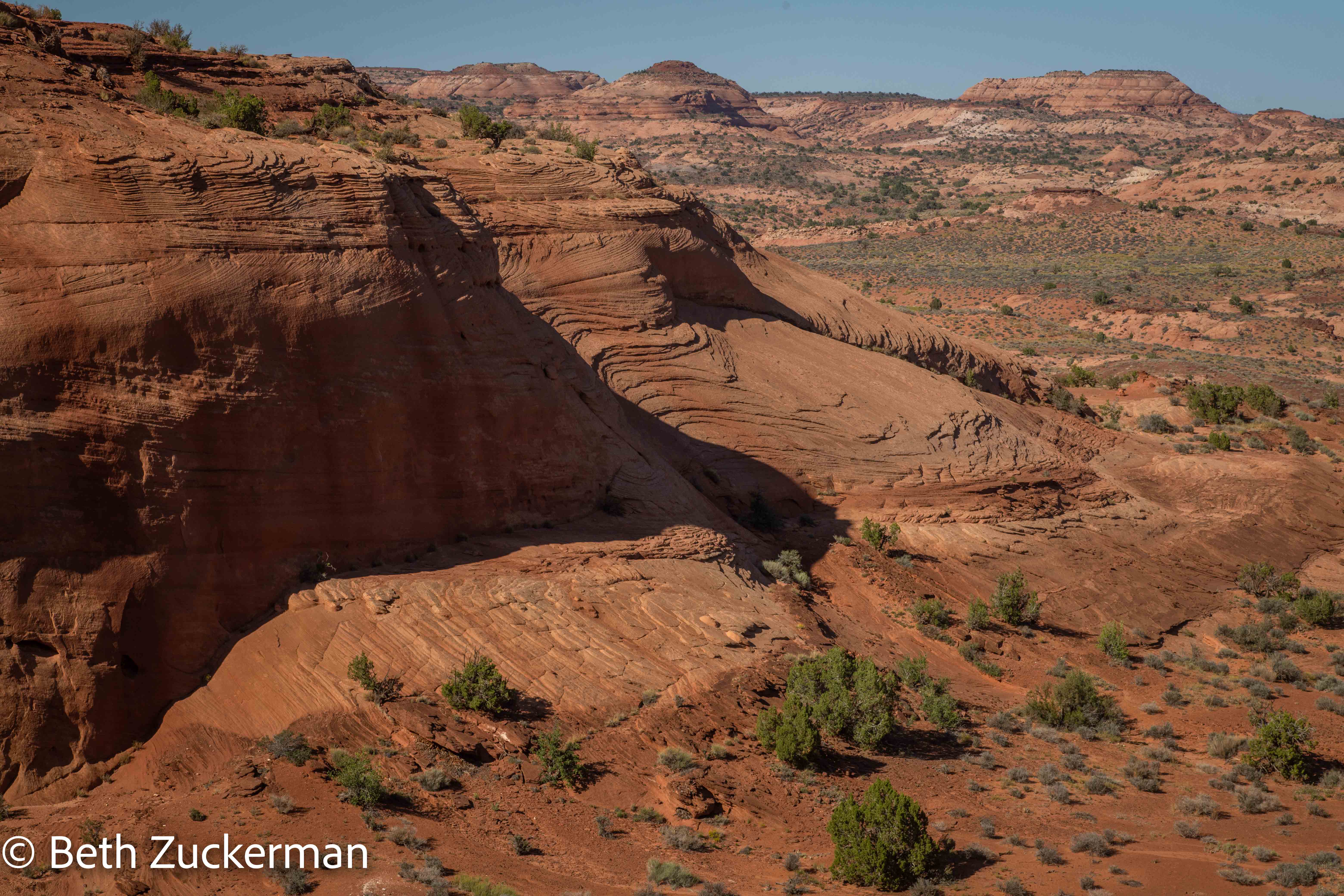
View from the canyon Rim Trail.
Canyon rim.
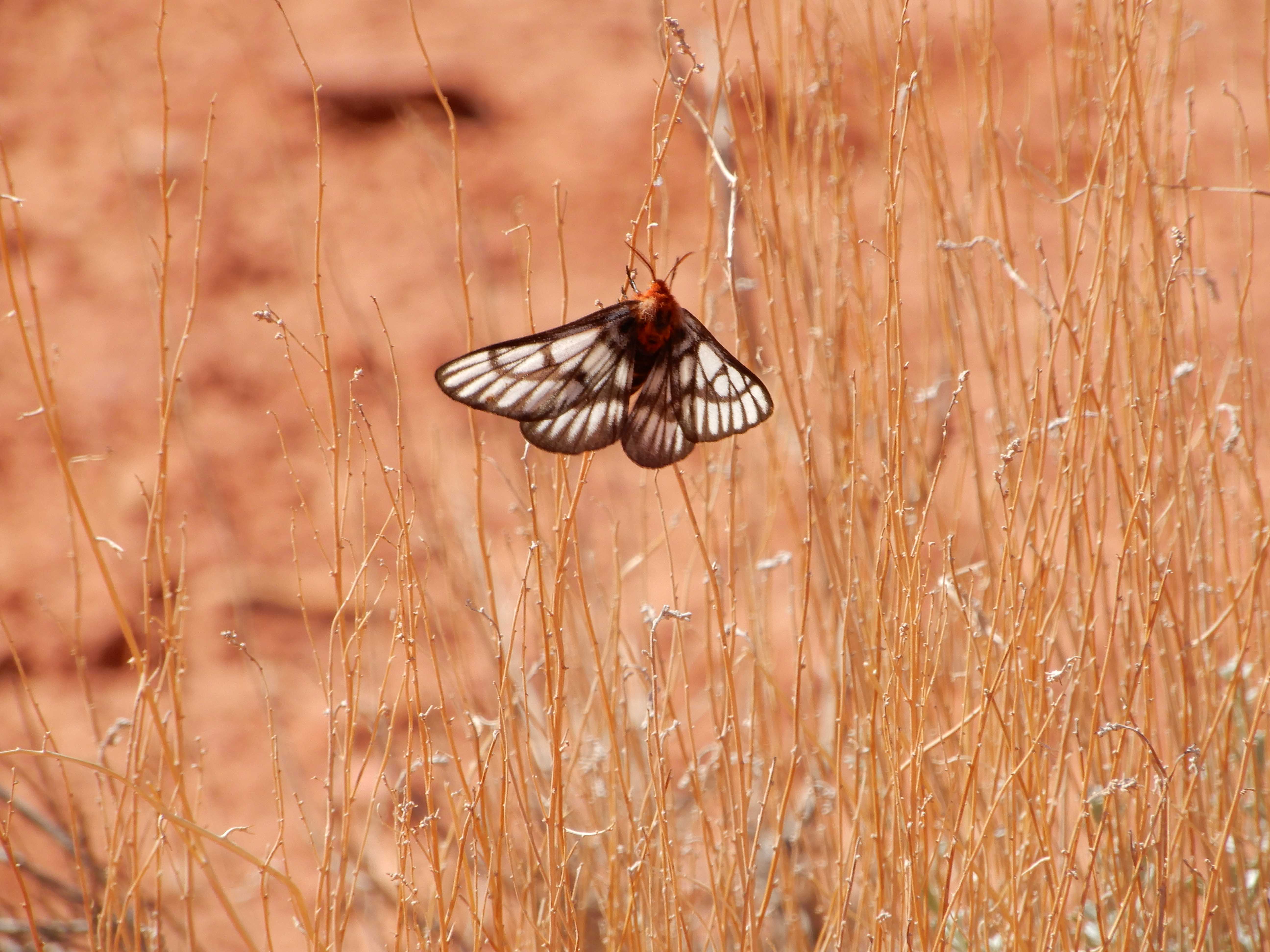
Eric photographed a butterfly. This species was flying all around.
I missed the turnoff for the slot canyons and walked a considerable distance beyond on the Rim Trail. When we finally turned around and found the right turnoff, it looked too steep for the way we were equipped. Reluctantly, we had to give up on seeing these slot canyons and hope to see others instead.
Distance hiked: 6 km/4 mi
Distance driven: 163 km/101 mi, cumulatively 1,683 km/1,046 mi
Caches found: 3, cumulatively 6
On to Calf Creek Falls.