South Canyon Rim
Friday, 30 September, 2022
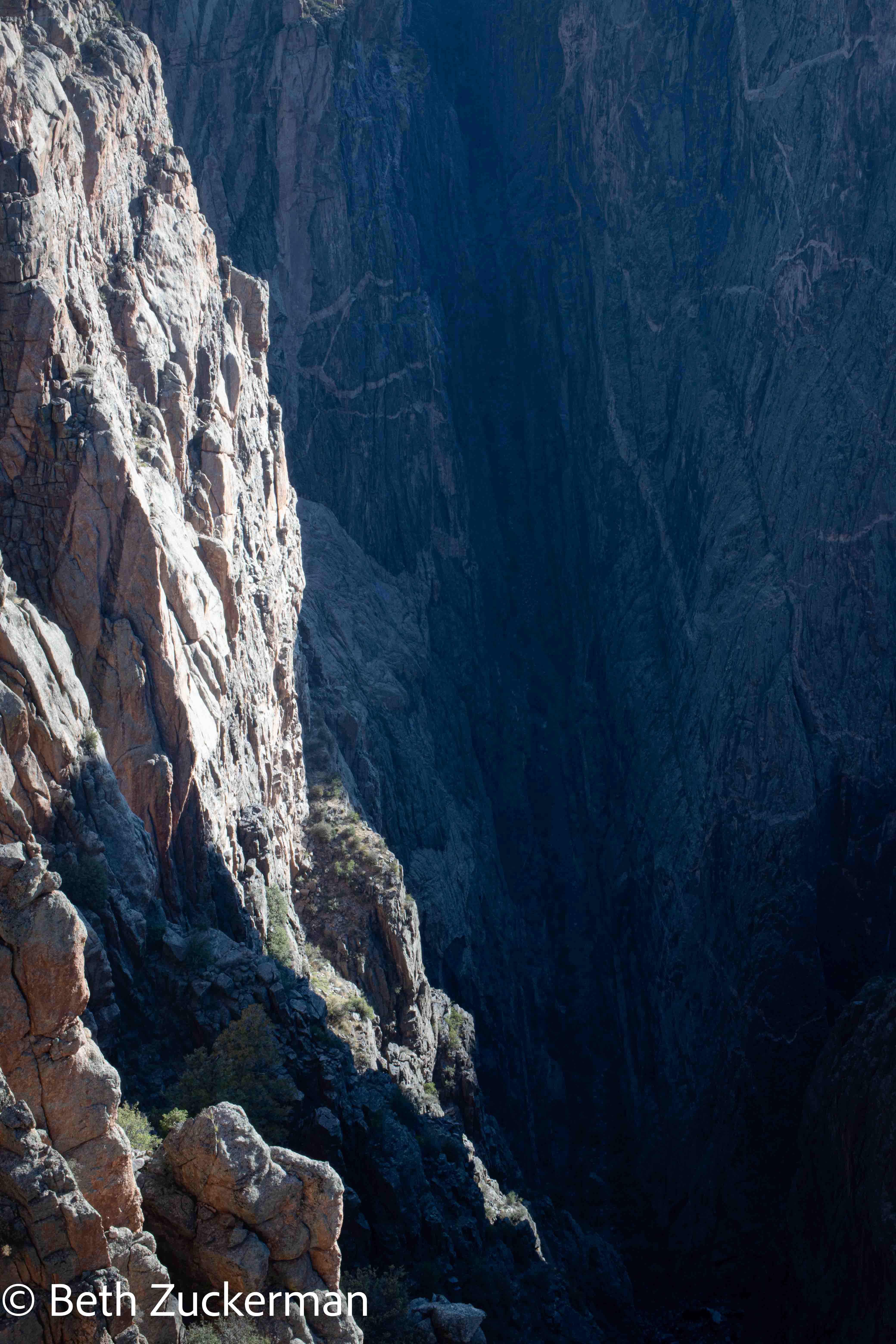
Sunrise from Chasm View.
Sunrise photography from the South Rim is known to be incredible, so we got up early and drove in to photograph it. I was having major problems with my camera, but managed some photography. It was cold up there at 2,363 m/7,752 ft, and Eric had only a San Francisco jacket.
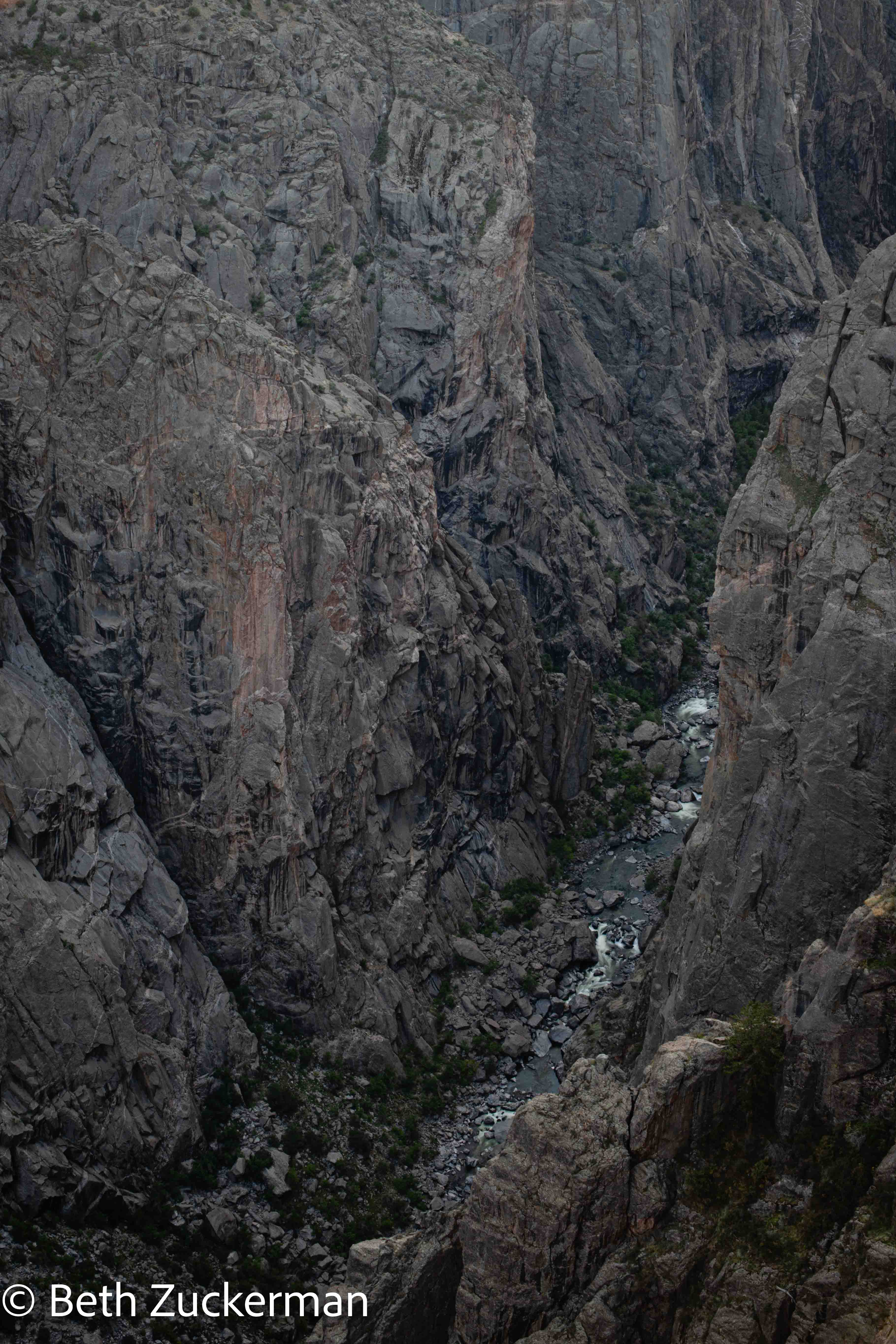
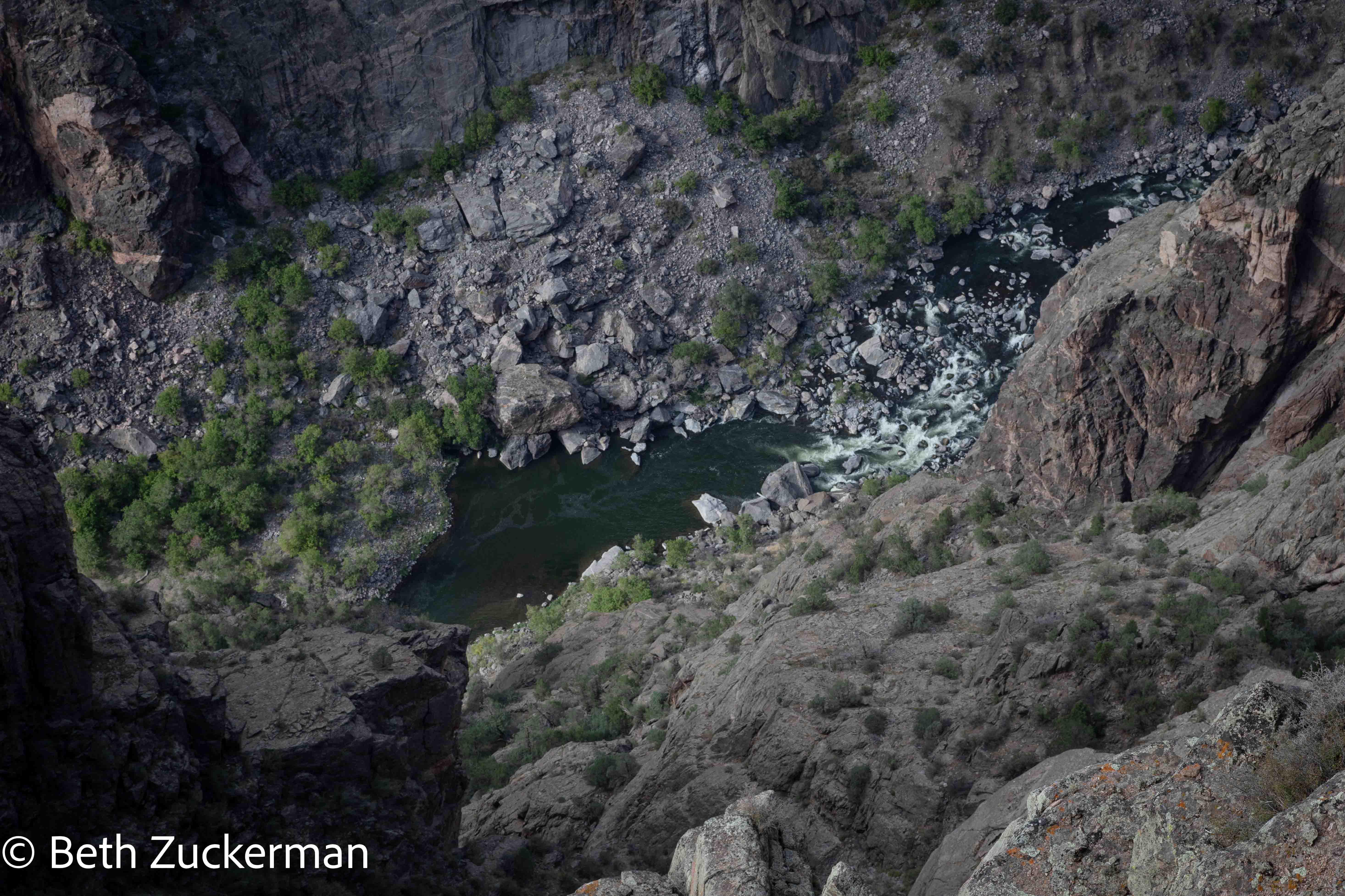
The river far below.
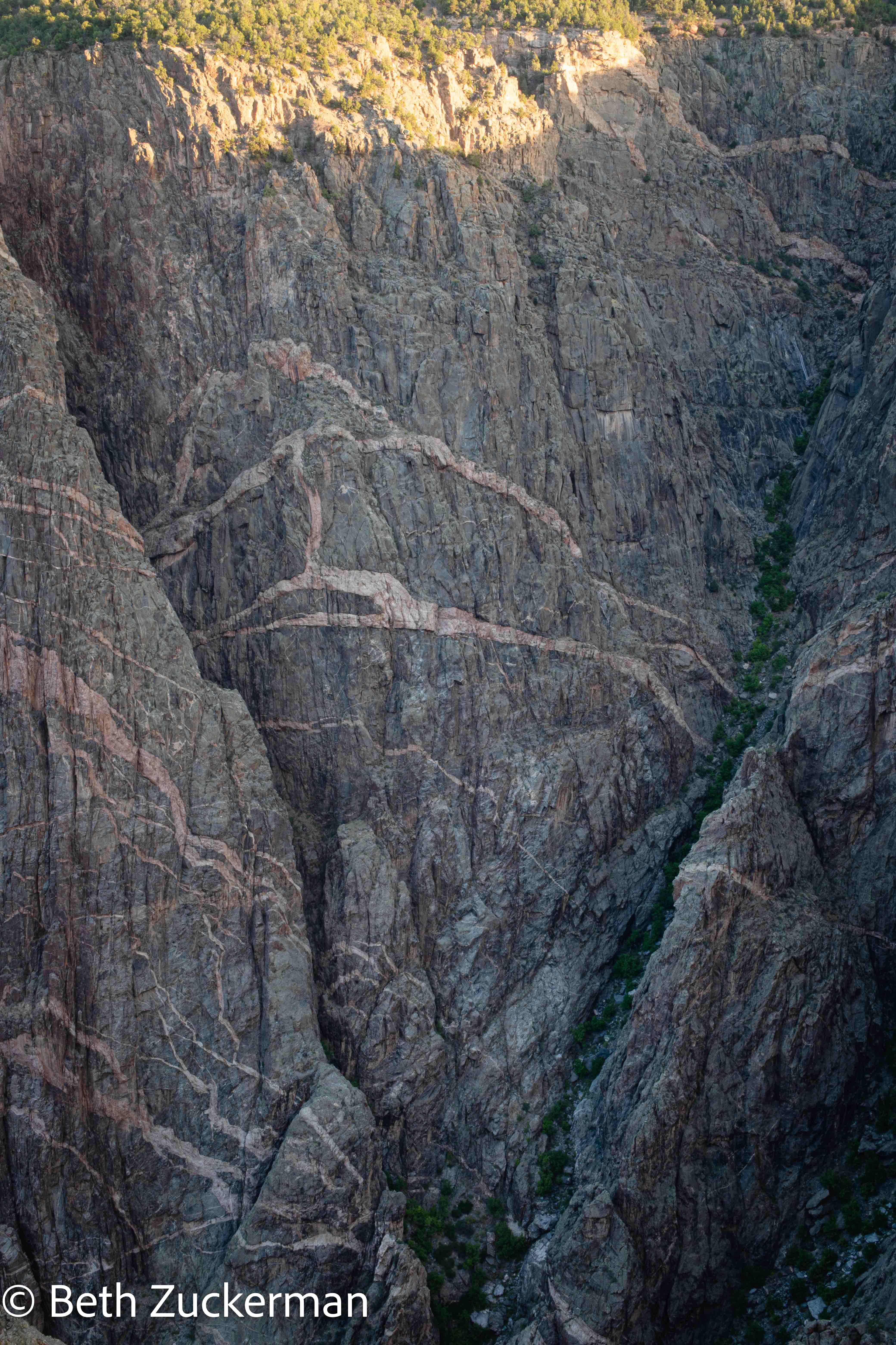
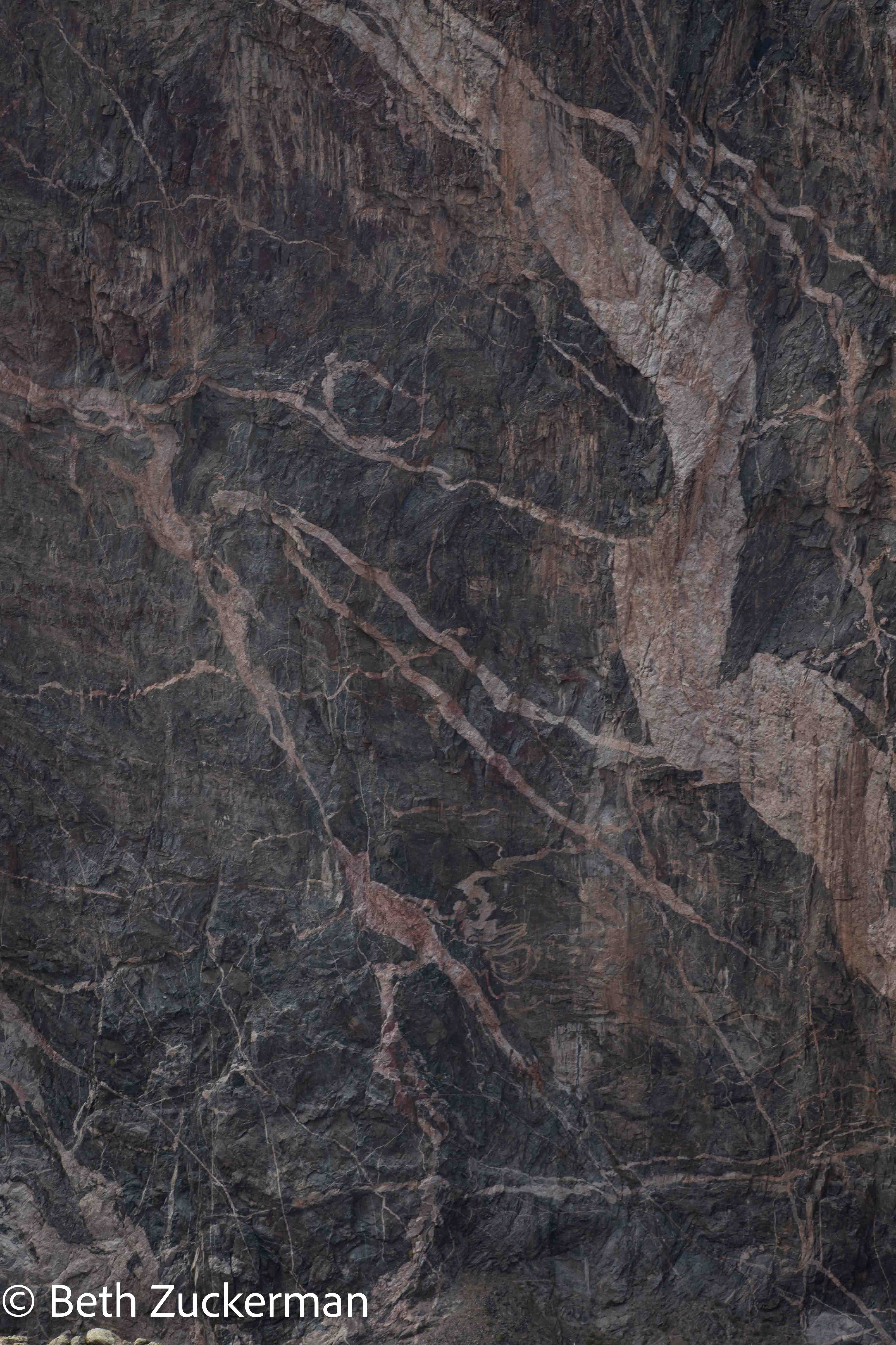
Beautiful details of the delicately pink rock wall.
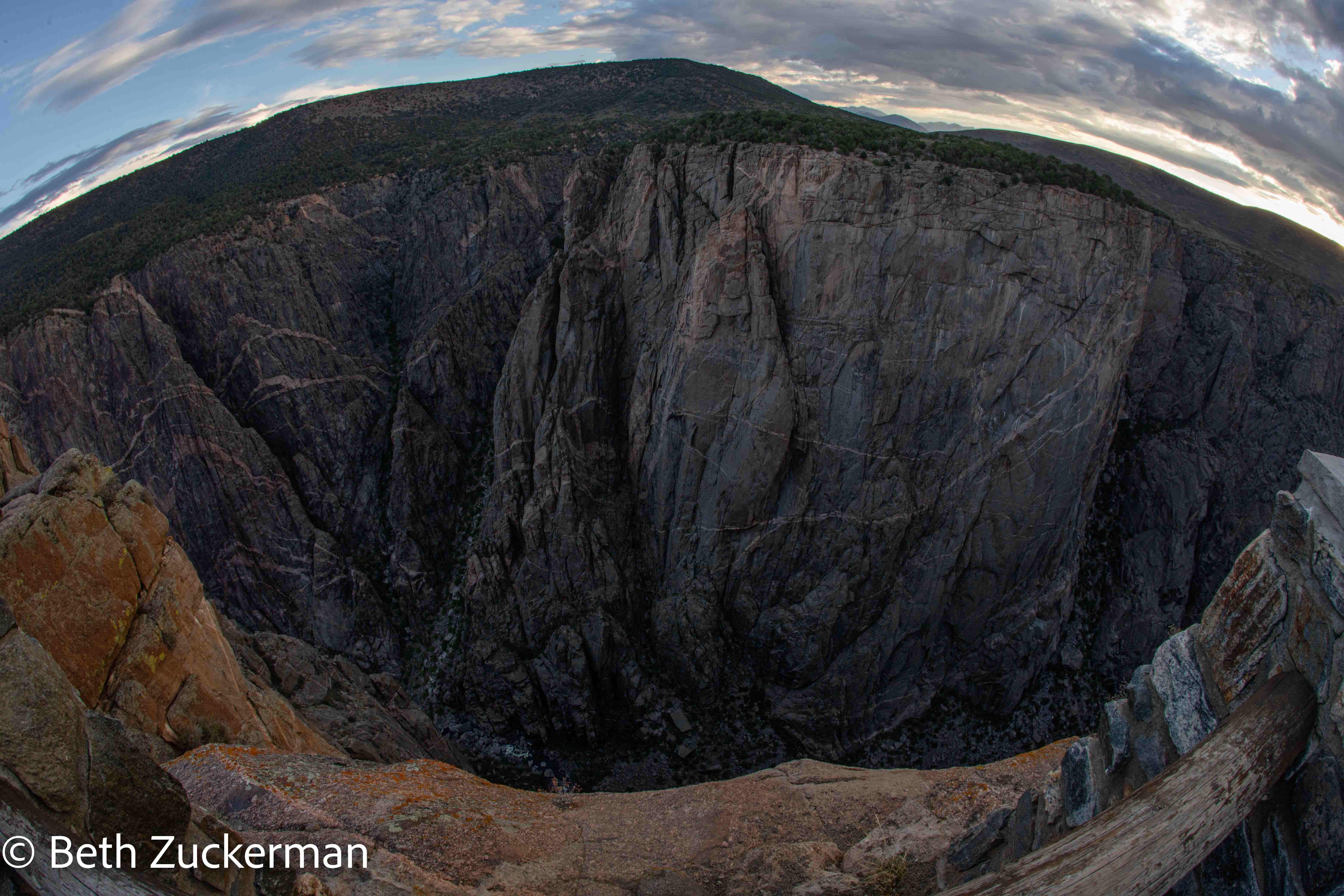
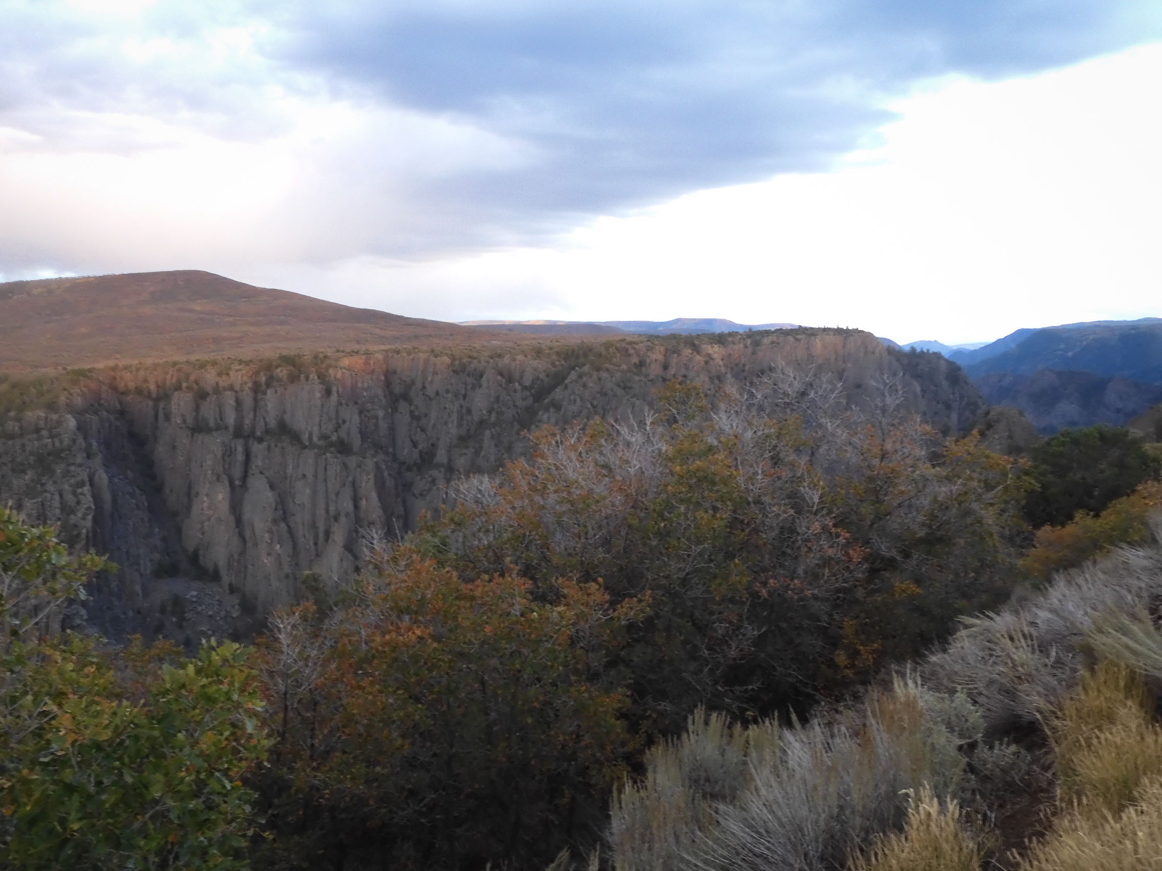
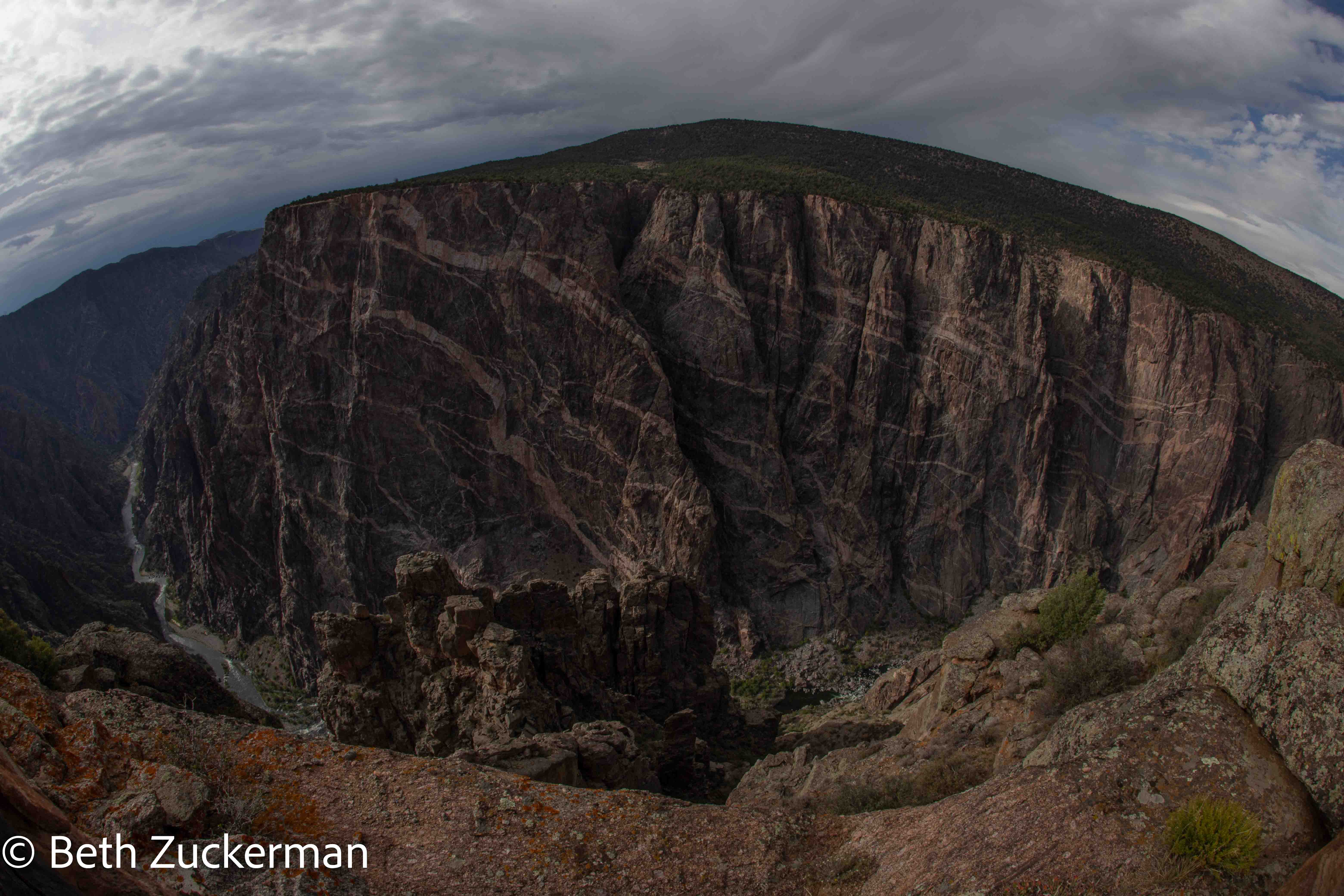
Wide angle view of this amazing canyon.
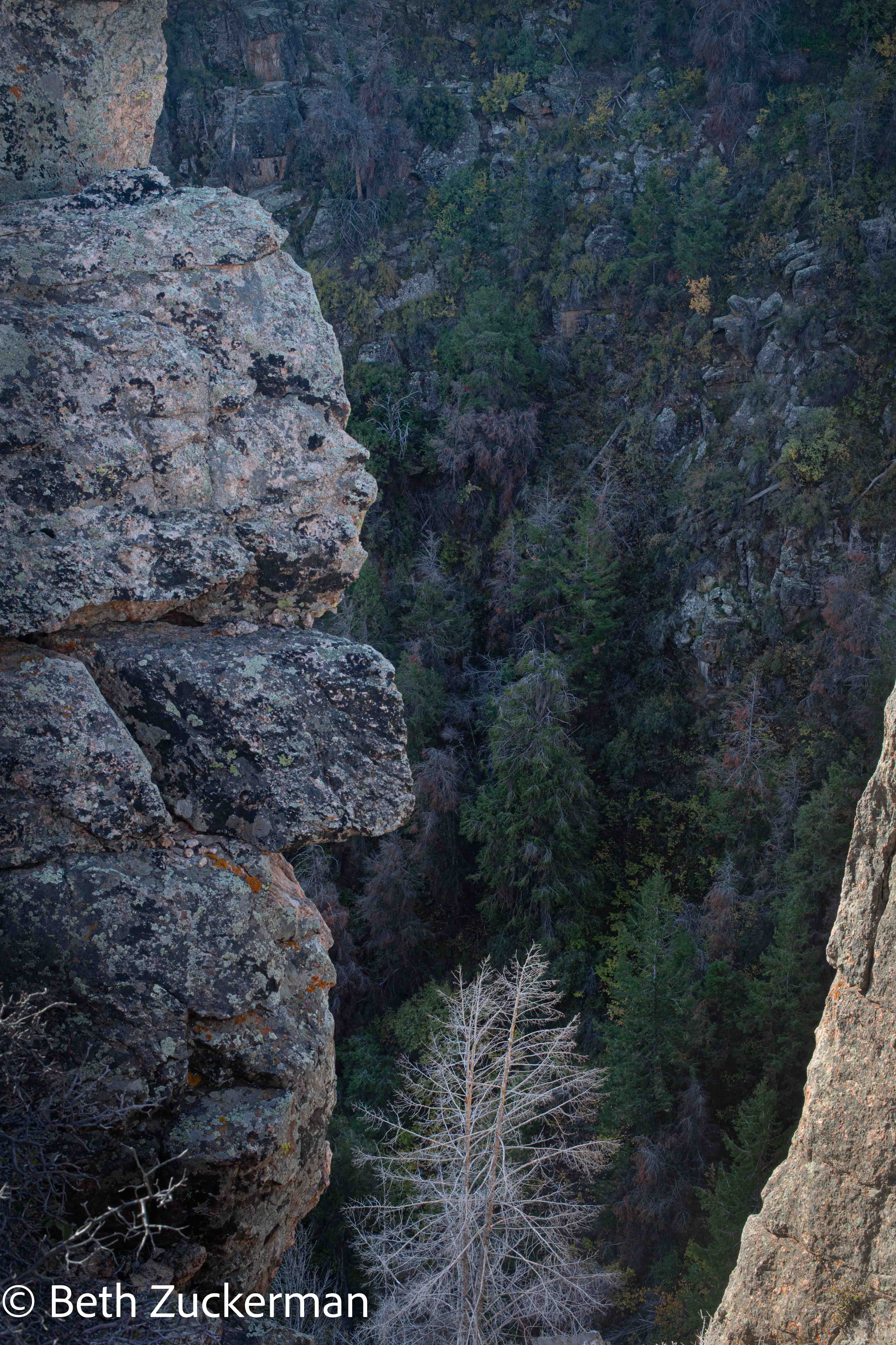
After sunrise, we stopped at Rock Point to see the views from there.
Trees from Rock Point.
Now that the sun was up, Eric was a little warmer and enjoyed the scenery more.
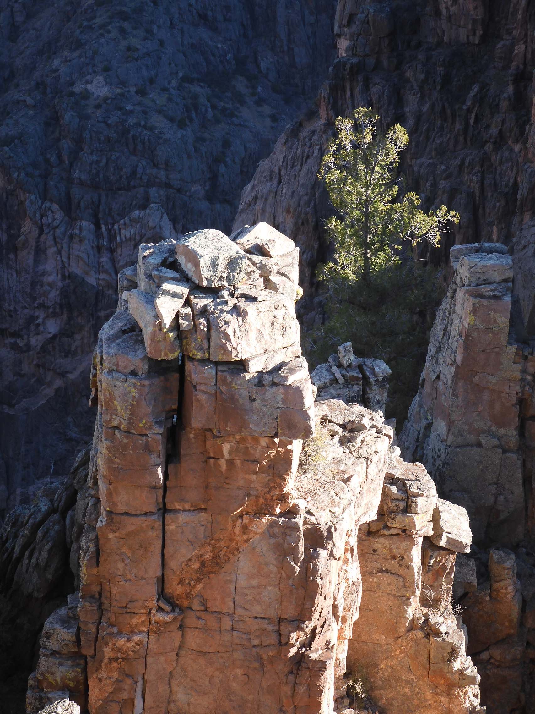
Photo from Rock Point by Eric.
Eric photographed the changing colors of the trees.
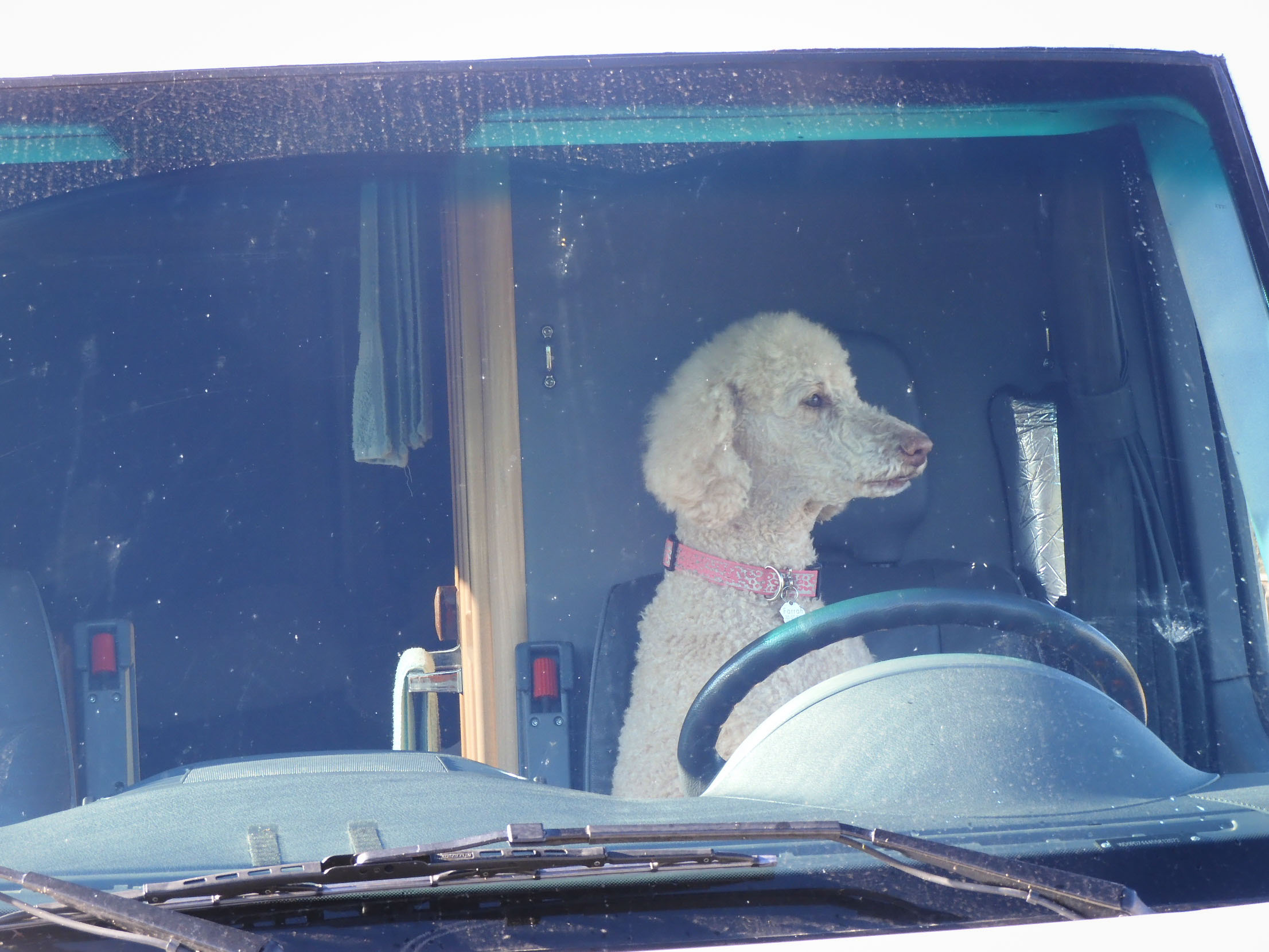
Does this driver have a license? (calling to mind a classic Far Side cartoon) Photo by Eric.
We wanted to take a mid-day break after the sunrise shoot. As we weren't camping, this meant we had to drive all the way back into town. We went to a Dunkin Donuts drive-through and got an indulgent sugary breakfast to bring back to our room.
After a long midday rest, we returned to the park to drive along the south rim and see the sights there.
We hiked out to Warner Point, which gave us a very different view into the heart of the canyon, helping to contextualize it.
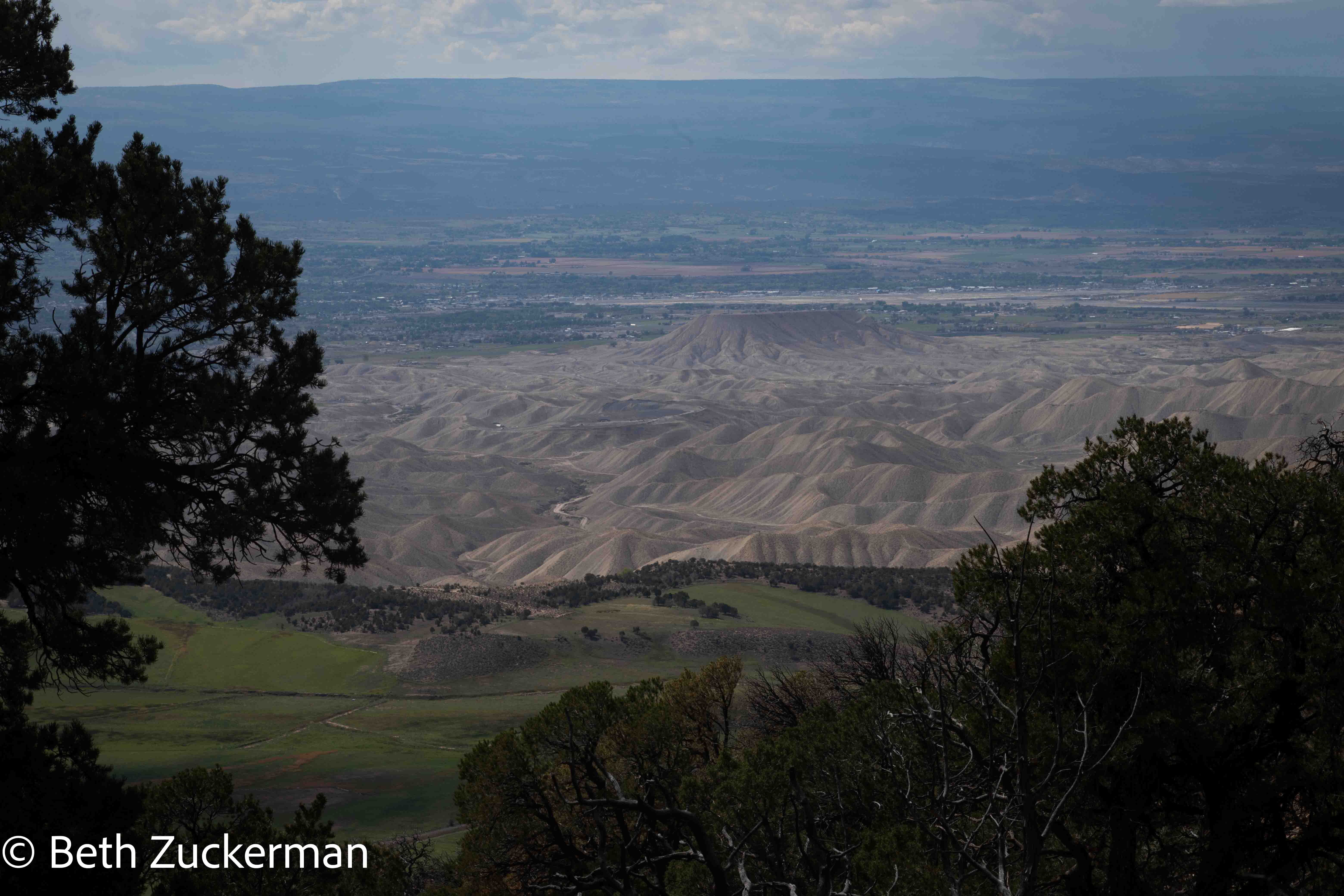
Eric photographed the scenery from the Warner Point Trail, looking away from the Canyon, to the southwest-ish. You can see exactly which parts of the landscape have been altered by humans.
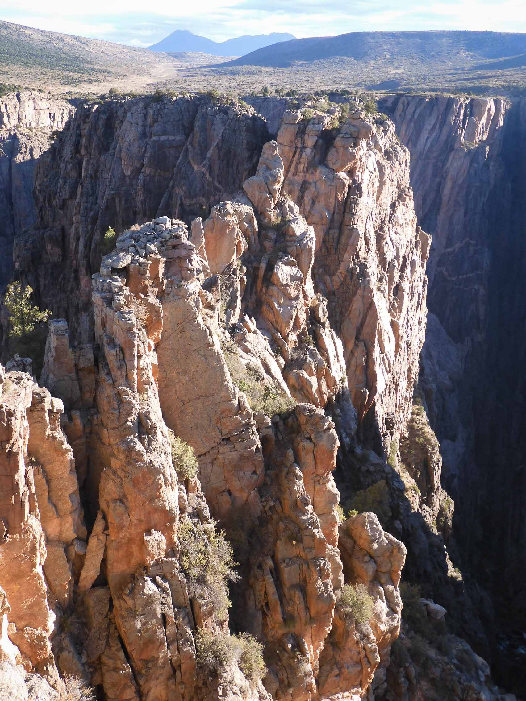
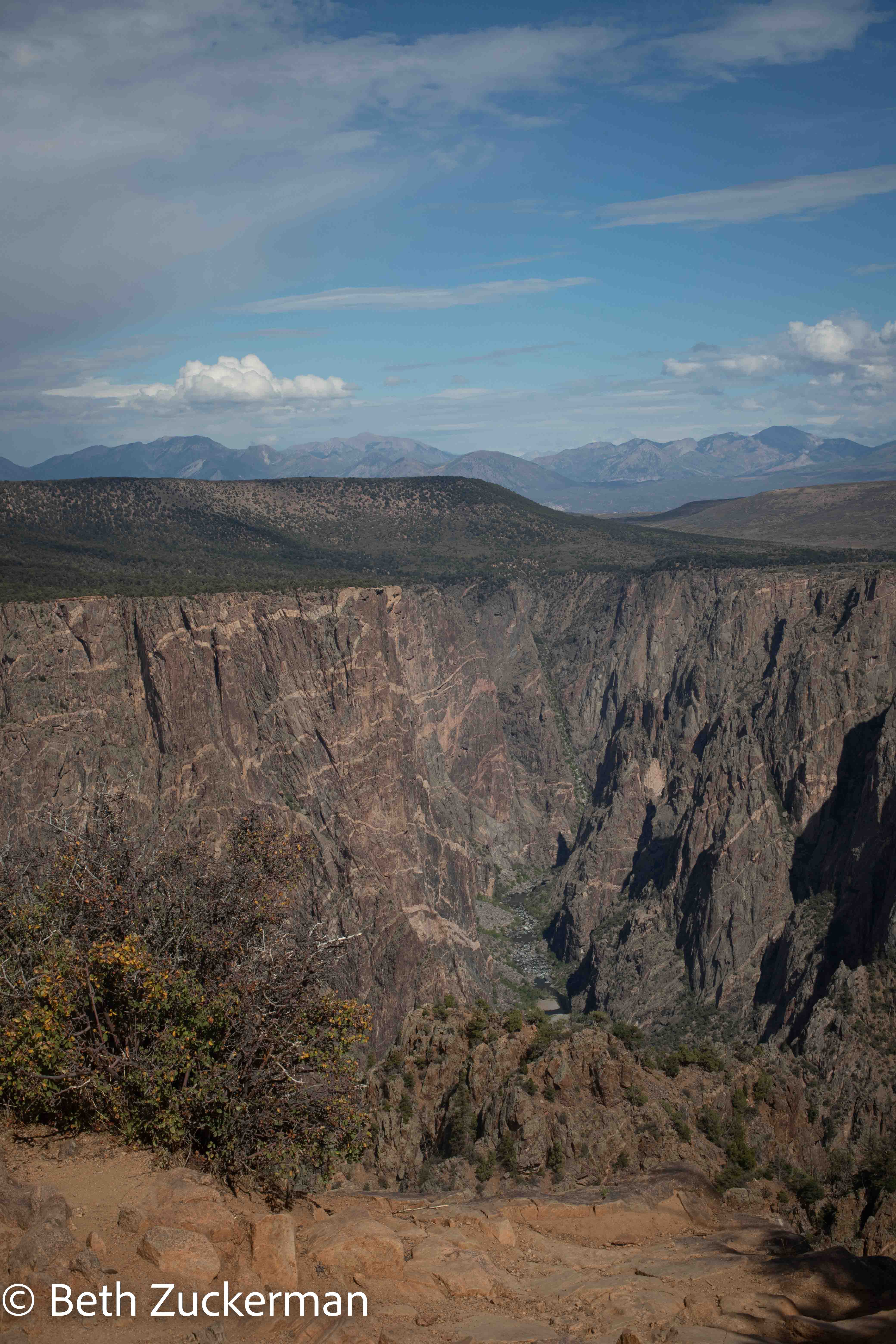
Wide-angle canyon view from Cedar Point.
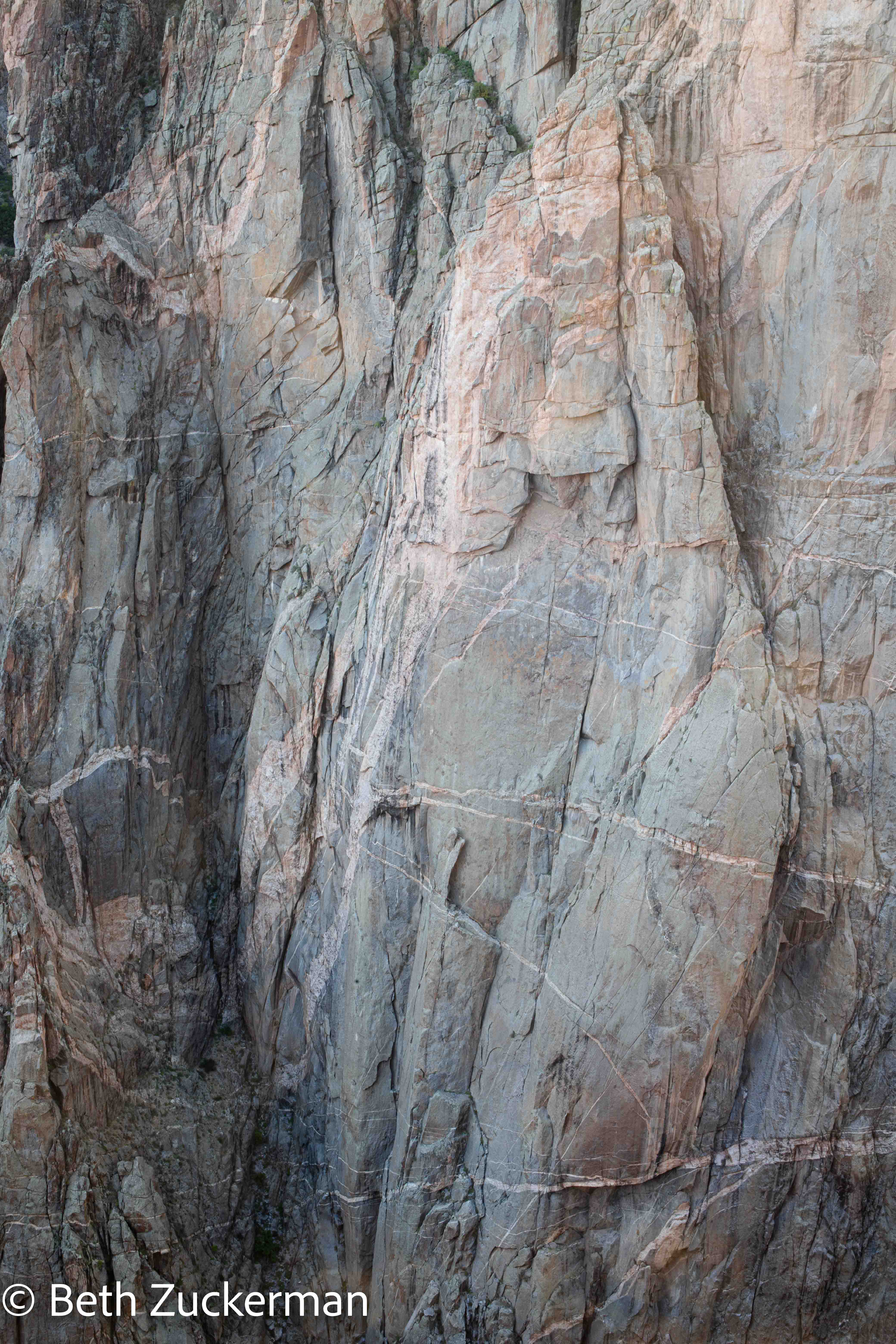
Detail of Painted Wall from Cedar Point. Here you can see the pinkish intrusions of later rock.
Detail of Painted Wall from Cedar Point.
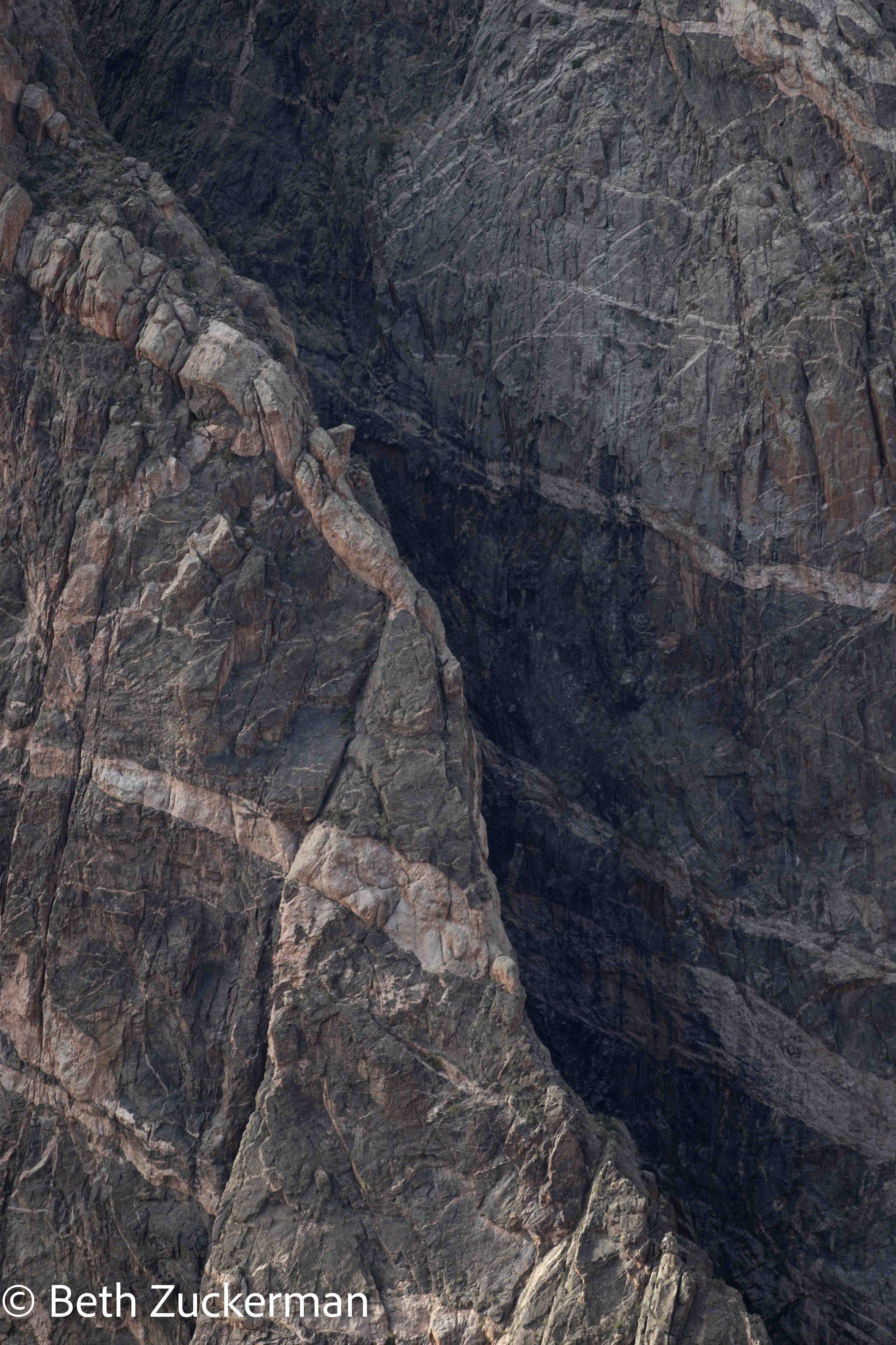
Wall of rock from Cedar Point.
The green Gunnison River far below Cedar Point.
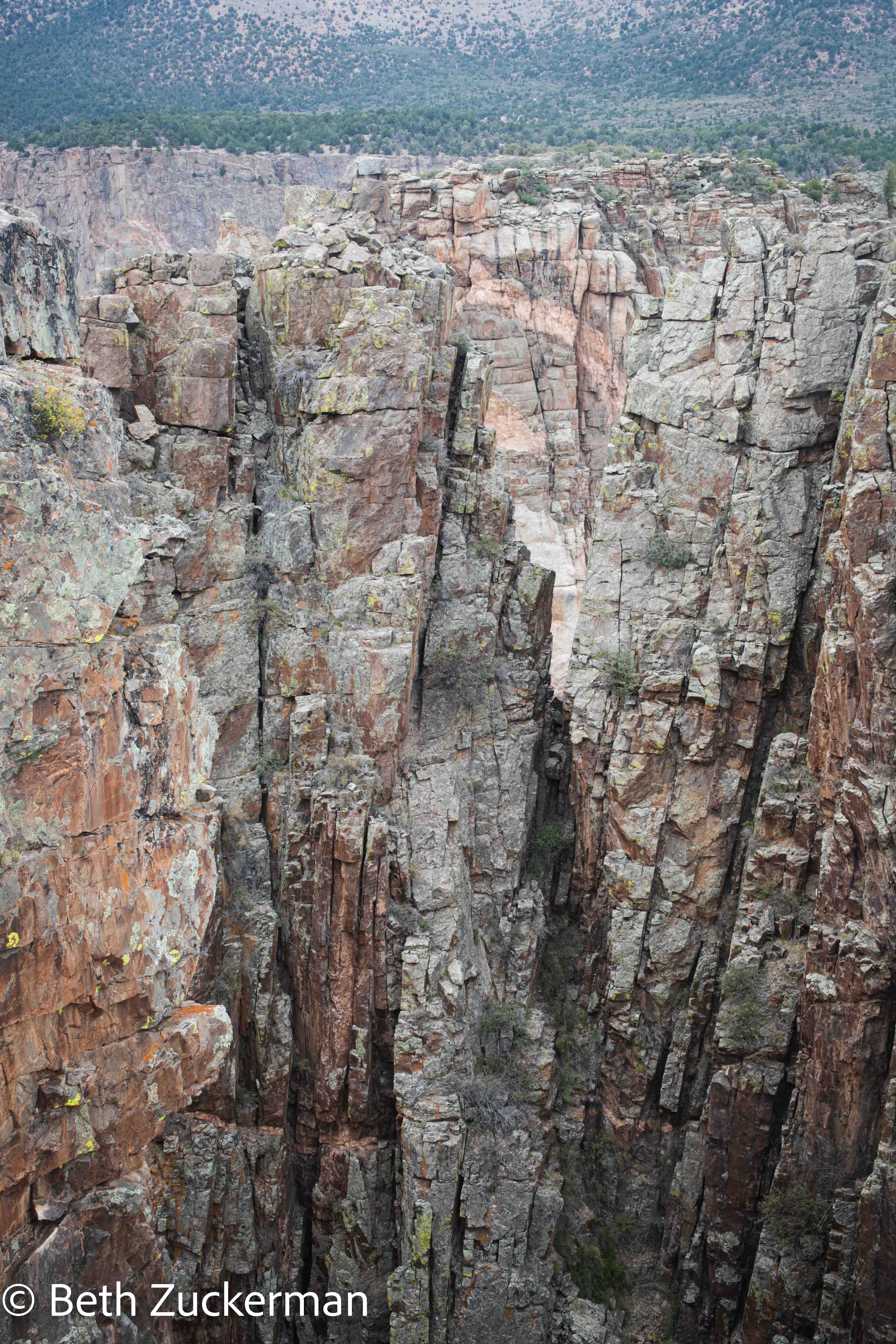
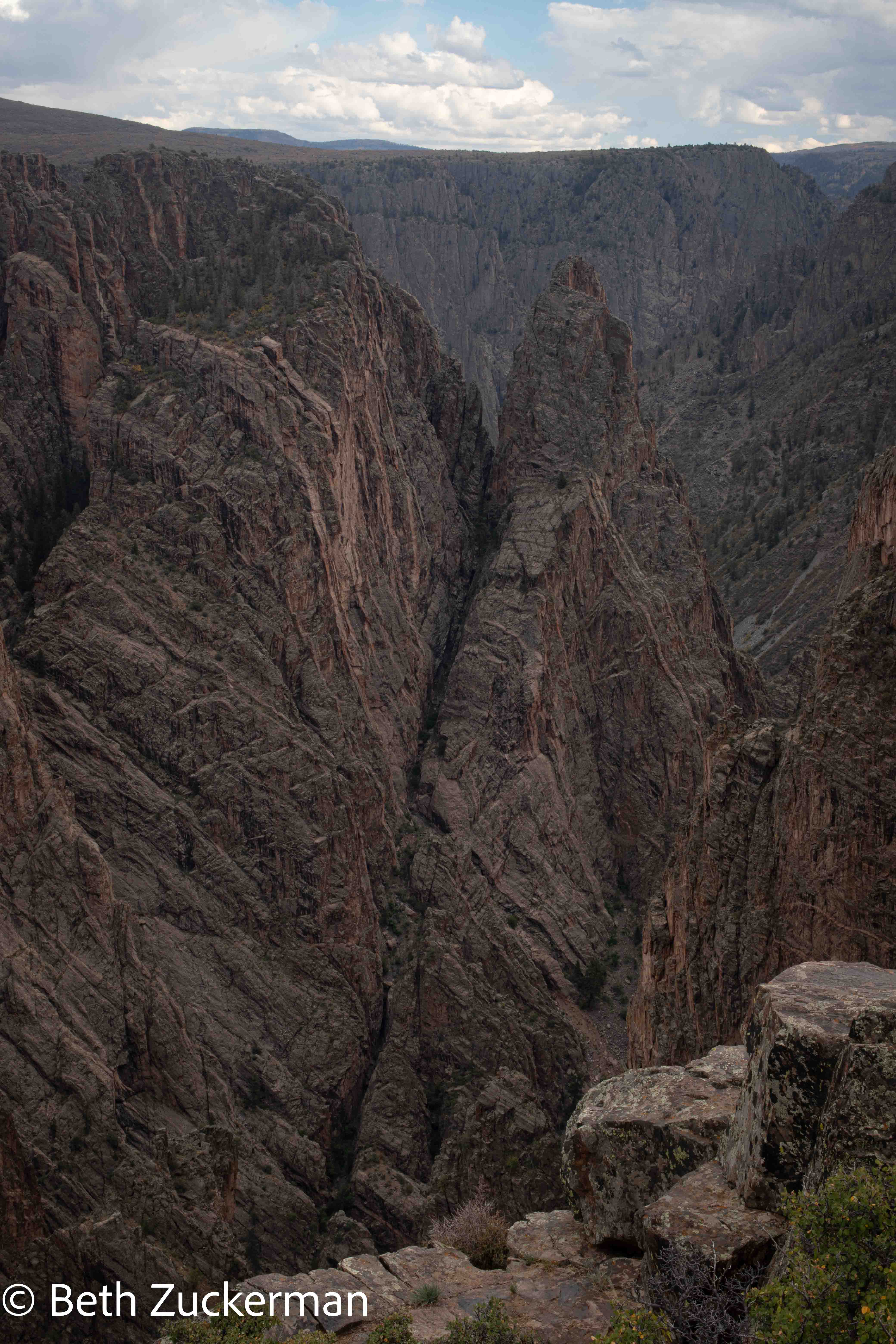
Cross Fissures.
An informational sign at Pulpit Rock told us that the south rim is sloped much less steeply than the north rim, because lesser exposure to the sun creates more freeze-thaw cycles on the south rim, which in turn creates greater erosion.

We had wanted to visit the north rim as well, but it is a 257-km/160-mi drive around the canyon to get there. Once we saw this view, we understood that the south rim, which gives you the views of the north rim, was probably the more interesting choice. Certainly, our hike the day before down into the canyon was worth missing the north rim!
Our excursion into Colorado, further east than planned, meant that we had to do something I avoid on road trips, have a full day of driving without a break to stop and see anything. At least we were mostly along major roads, which meant we were in internet signal.
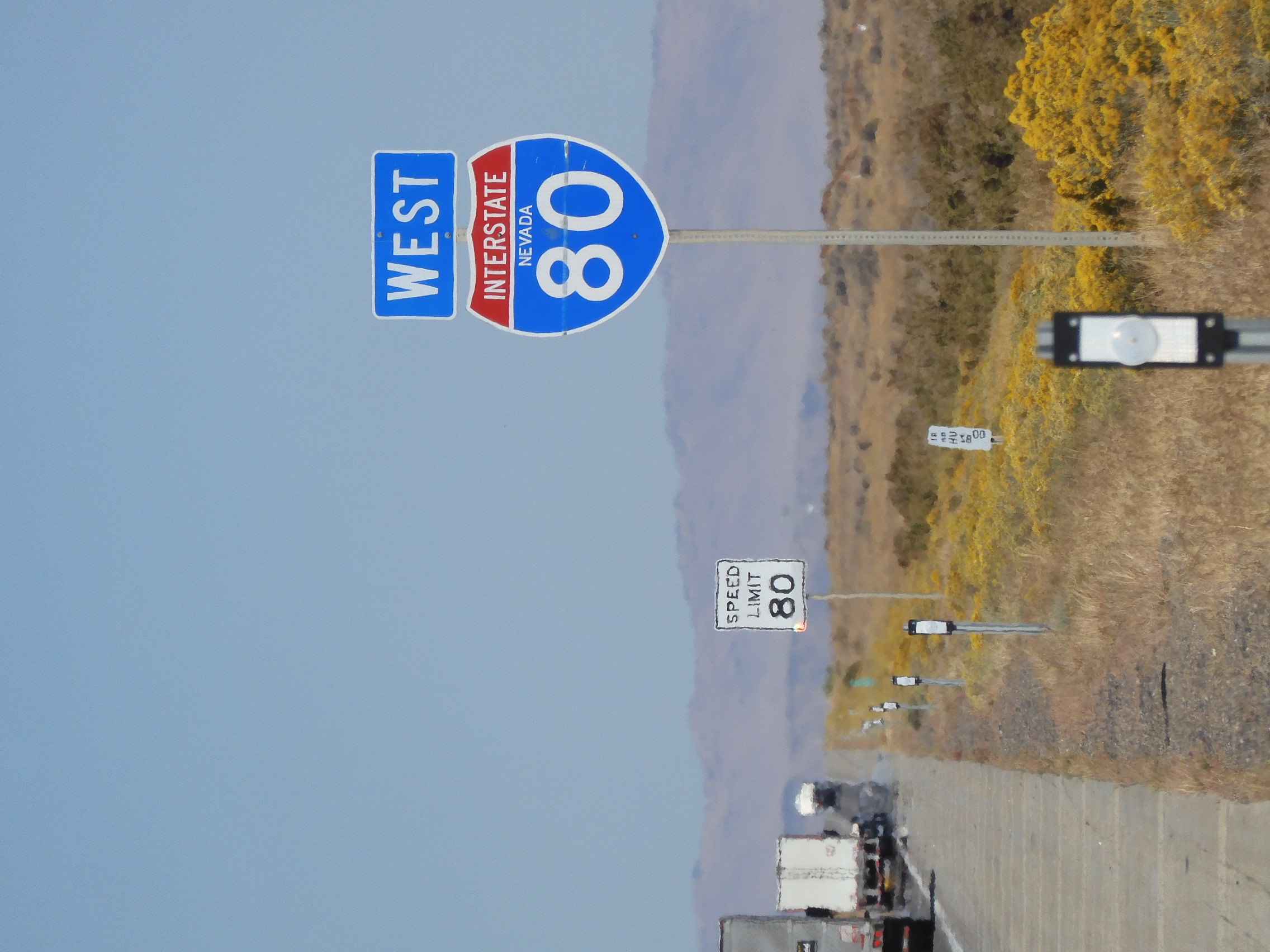
Eric took a picture of the 80 mph speed limit on I-80.
We spent Saturday night in a smoking room in a Ramada attached to a casino in Elko, Nevada. I'm sure there were some fun shows going on around us if we had been willing to be indoors anywhere. We did break up Sunday's driving by taking the slightly longer southern route around Lake Tahoe and stopping to see our friend Ashley.
In South Lake Tahoe, the fire was out and the smoke was gone, and we got out of Mather and took in the beautiful smell of Sierra conifers. "It's good to be back in California!" I declared.
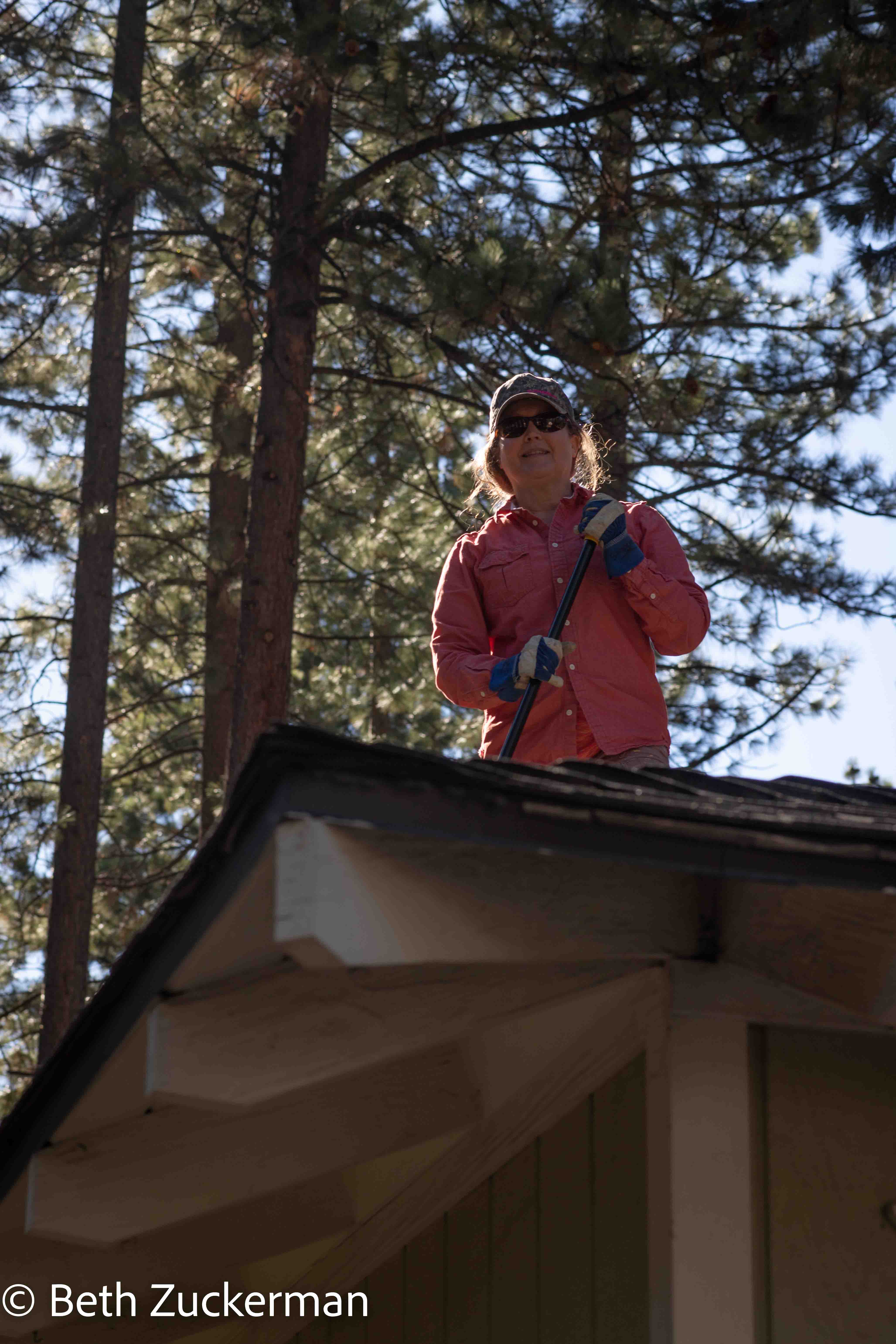
Ashley was deep in fire prevention efforts, sweeping pine needles off the roof. We helped bag up pine needles and cones.
We left Ashley and I drove while Eric participated remotely in a Dungeons and Dragons session. After two weeks of exciting but previously unknown settings, it felt so comfortable to cruise down highly familiar US 50 along the South Fork of the American River. At the end of a great vacation, I felt so happy just driving Mather, Thule carrier on top and busted grill in front, down a beautiful California highway.
Back to main trip page.