Colorado Plateau 3
Friday, 16 September, 2022 - Sunday, 2 October, 2022
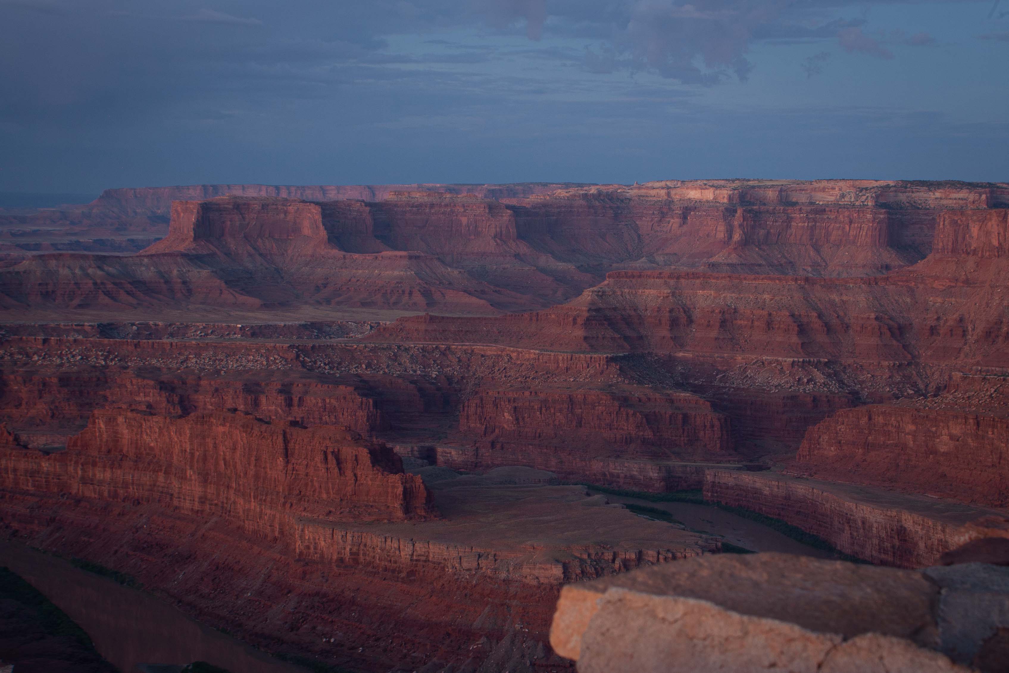
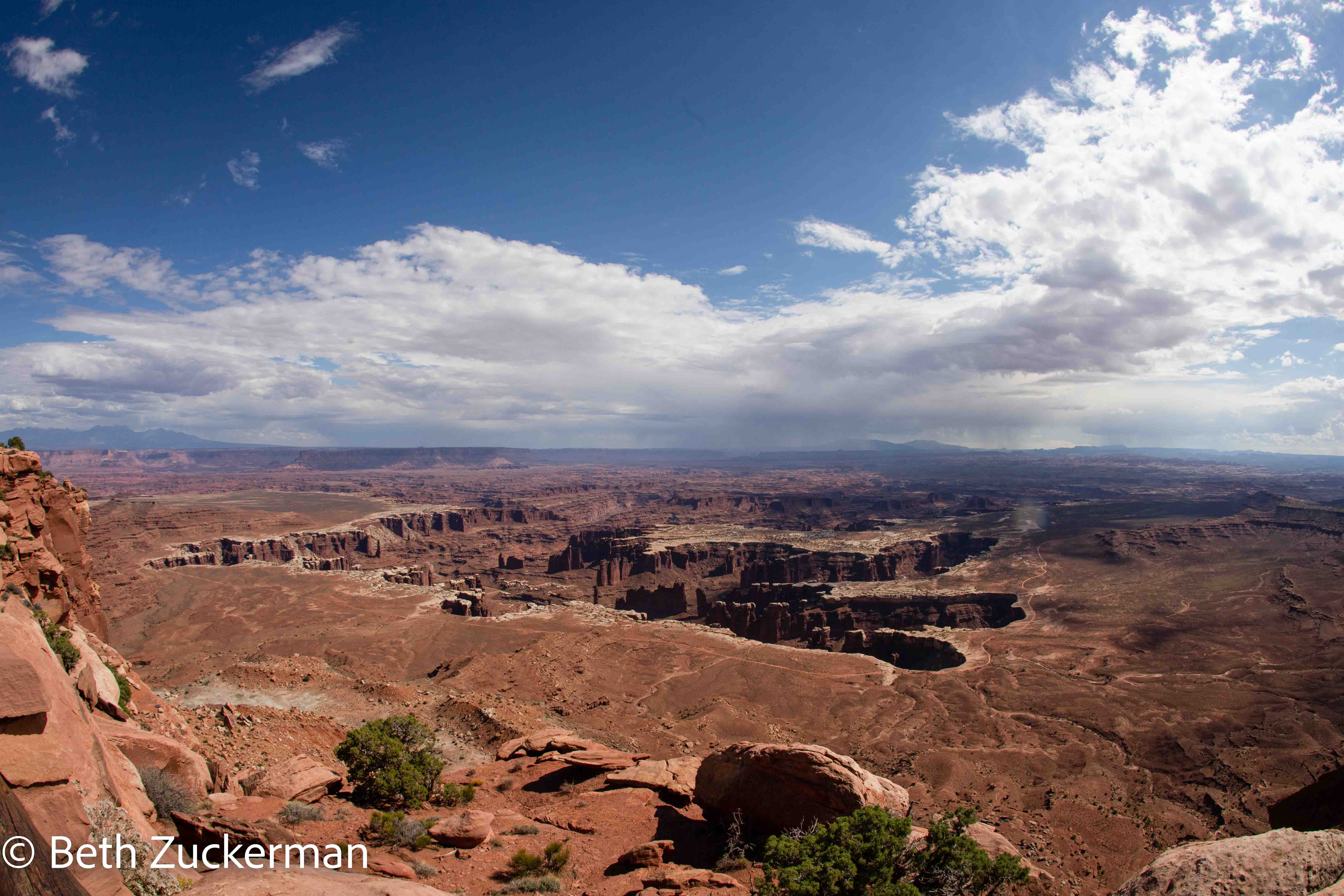
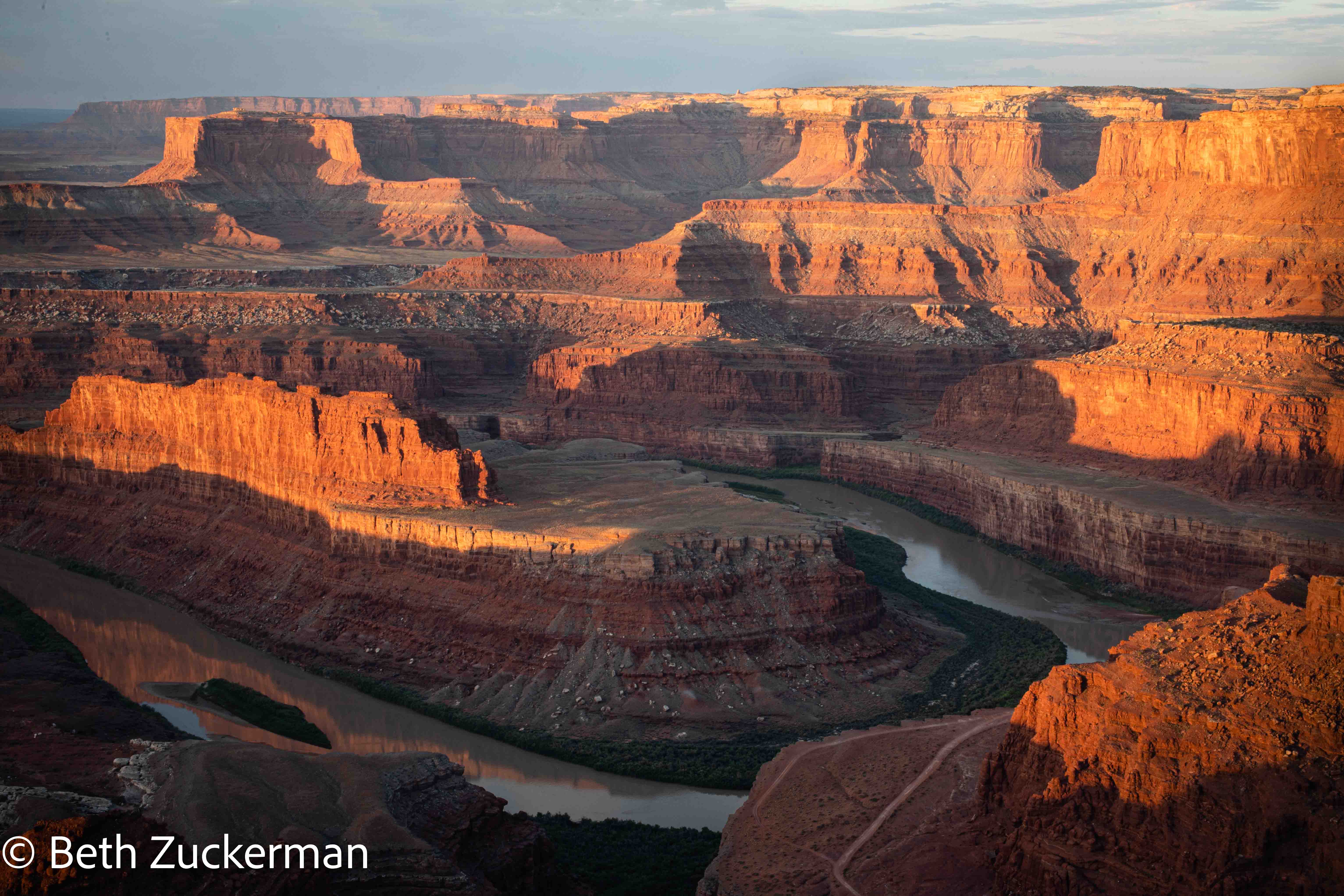
Sunrise view of Canyonlands National Park from Dead Horse Point. Photo by Eric.
One of the biggest mistakes of our lives was rushing through the end of our 1993 cross-country drive when we moved to California, skipping almost entirely over the amazing Colorado Plateau. Easterners as we were, and in pre-World Wide Web days, we had no idea of the geologically exotic sites we were missing. With our 2018 trip to the Grand Canyon, Zion, and Bryce, our 2021 trip to Capitol Reef, and now this trip to the famous Arches, the dramatic Canyonlands, and the deep Black Canyon of the Gunnison, we have finally seen most of the national parks we should have visited almost 30 years ago.
The Colorado Plateau is a geologic region surrounding the Four Corners, including the Navajo and Havasupi Nations. It was pushed up high above the surrounding landscapes, escaping the stretching of the Basin and Range to the west and separated from the Rocky Mountains to the east. Much of it was pushed nearly straight up without tilting, maintaining the myriad horizontal layers as it rose. With little rainfall, ancient rocks have been preserved in this region for geologic eons. Rivers have cut deep canyons through the plateau, exposing incredible sights for our eyes to see. The varying layers of rock have eroded differentially, carving wonderful features such as hoodoos, fins, arches, and bridges for us to hike through and explore. [Pages of Stone, Chronic & Chronic, 2004] This area is full of exciting areas for geologic adventures.
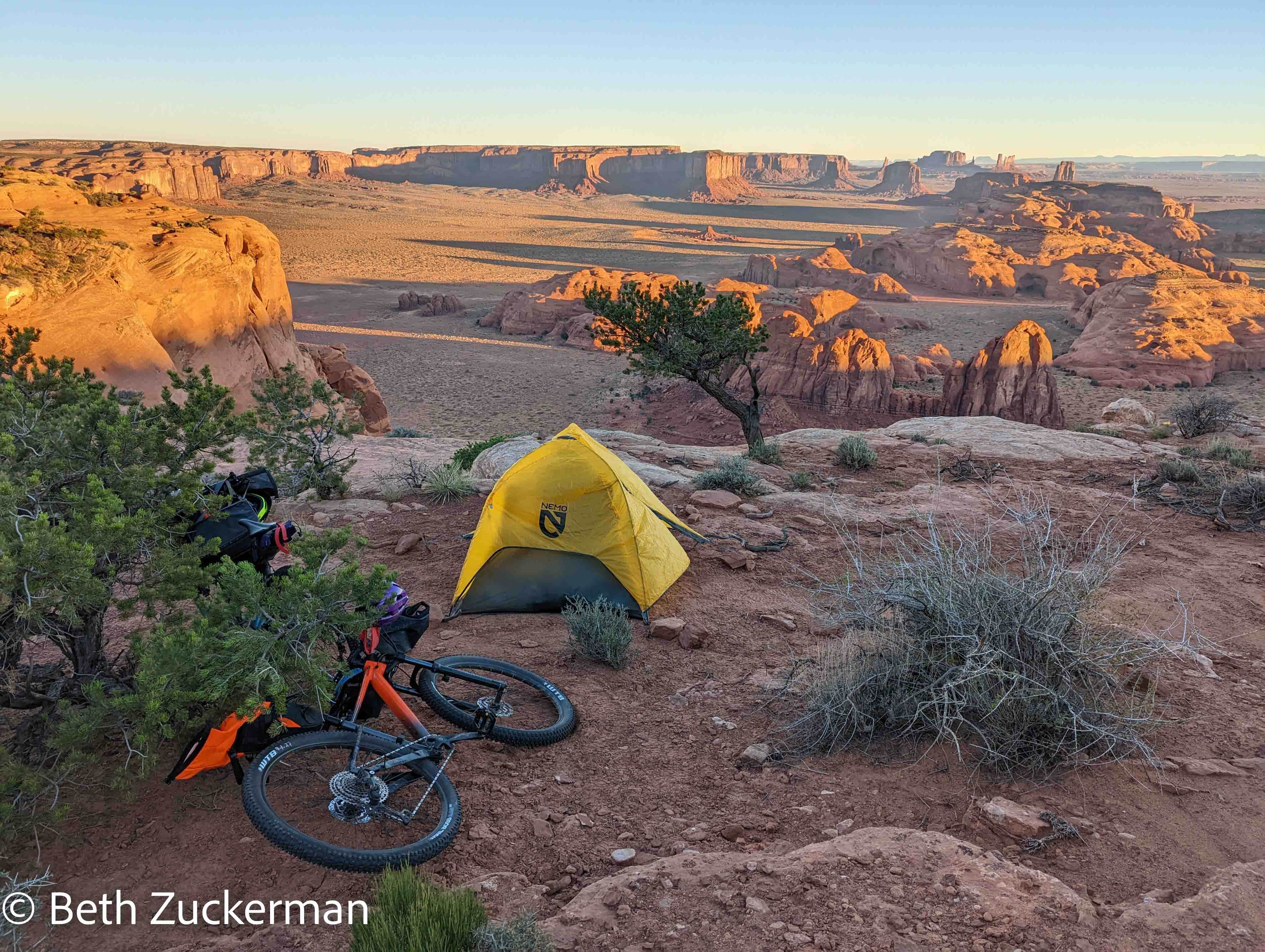
We hiked, as best as I can calculate, 34.3 km/21.3 mi in our 16-day journey through the Colorado Plateau. Perhaps you may be more impressed to hear that, in that distance, we climbed (again, as best as I can calculate), 1,446 m/4,744 ft in elevation gain! We accomplished some of the most iconic hikes in the area: the Fiery Furnace loop, Delicate Arch, and the Gunnison Route to the bottom of the Black Canyon of the Gunnison. To top this off, we also rode bikes loaded with camping gear to the top of Hunts Mesa above Monument Valley!
On all but our most difficult hikes and the bike trip, I switched from regular hiking boots to Vibram's Five Fingers hiking shoes. I experienced a dramatic reduction in the incidence of painful blisters, and was much more comfortable hiking. The shoes were a major conversation piece along the trails--a lot of people, especially women, asked me about them. I give them a great recommendation, but I would recommend getting used to the Five Fingers street shoes first.

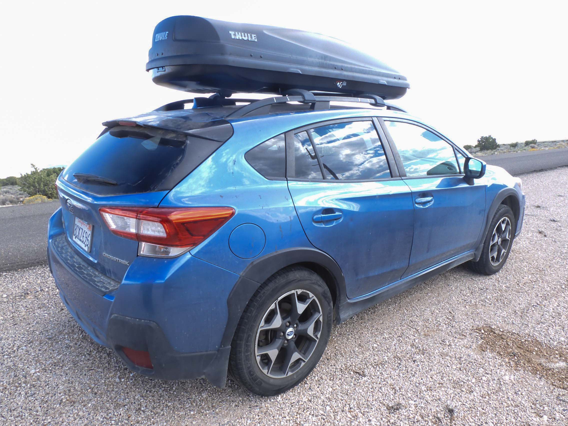
Camping means bringing a lot of gear! Cracks in the bottom surface forced us to replace the faithful Sears X-Car-Go that we purchased for our drive across the country in 1993, assembled for us by Ryland and my Dad in our back yard in Pine Hills in Albany just before we left. Mather the Subaru (see Stephen Mather) has now been outfitted with this spiffy new rooftop carrier. Photo by Eric.
There was still a ton of stuff in the car, and organizing it all was a major chore.
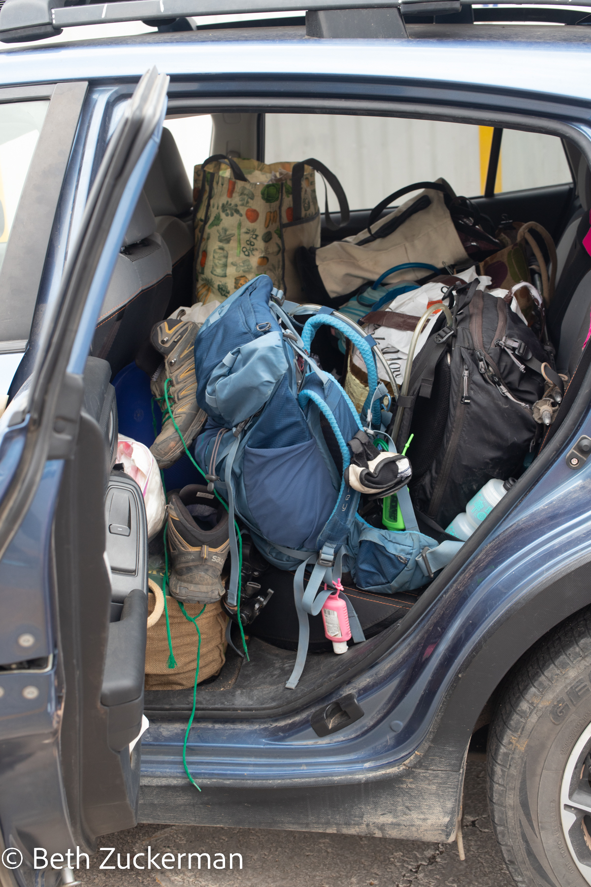
Invisible in the above photo, but among the items in the back seat was Eric's ukulele, recently acquired from my cousin Tom and his girlfriend Terri on a visit to Palm Springs. Eric diligently practiced the ukulele at least a little bit every day of the trip.
A late September trip to the desert means that parks are less crowded and the weather is not quite as brutally hot. The shorter days mean that astrophotography and sunrise shoots are less exhausting, but there also is not as much daylight for hiking and making camp. However, there is also more rain. Eric frequently joked about how he came to the desert to hike and camp in the rain.
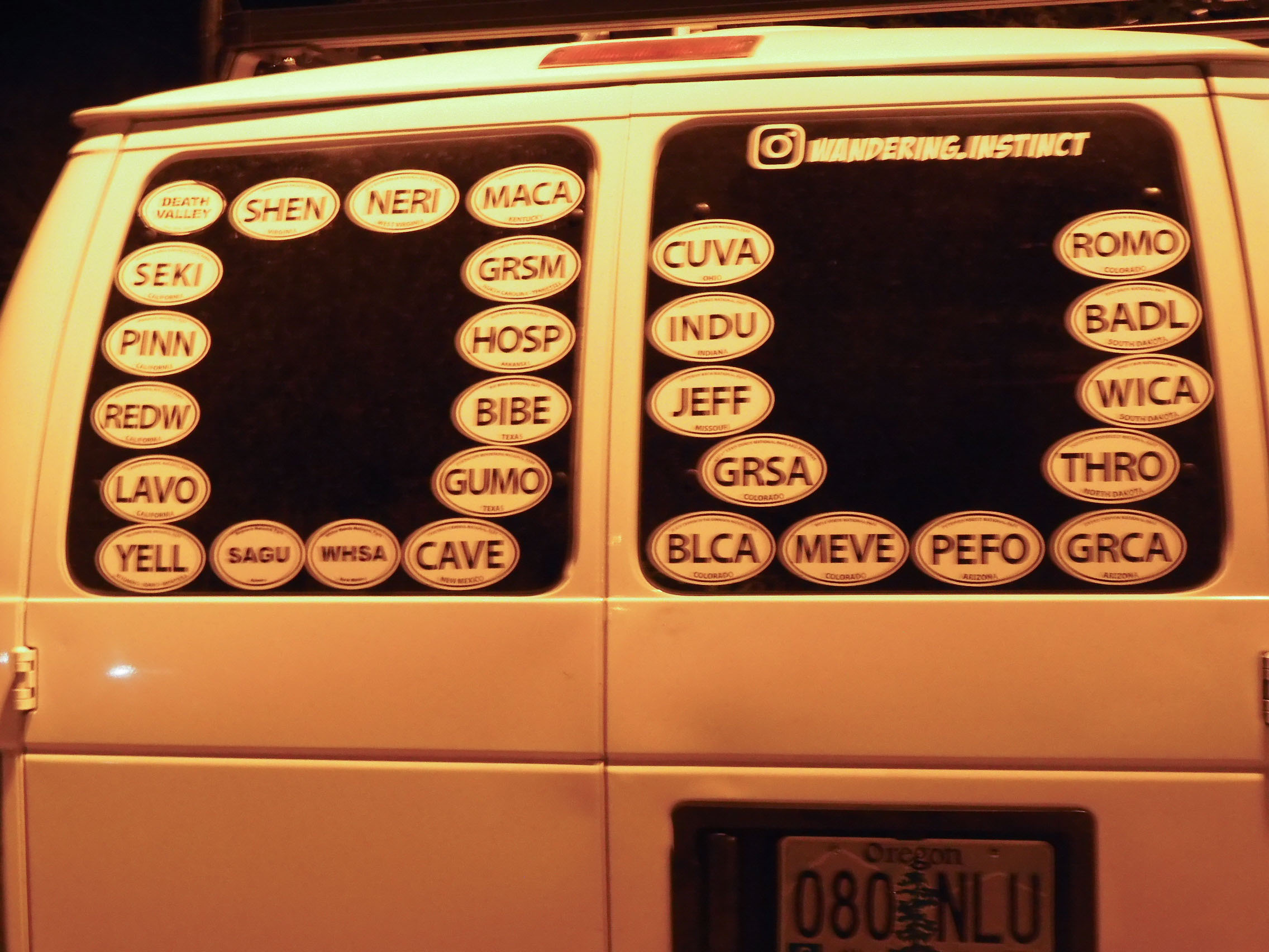
On a national park trip, you encounter other national park nerds. Eric photographed the large number of park stickers the people with this van had accumulated. Note that, other than Death Valley, which has the full words spelled out, all of their stickers use the proper National Park Service abbreviations for the parks. All too often, you see stickers that have "NP" for "national park" on the sticker. How are you supposed to distinguish Yosemite from Yellowstone that way? Eric disapproves, however, of the way these people have blocked the view out of their back window.
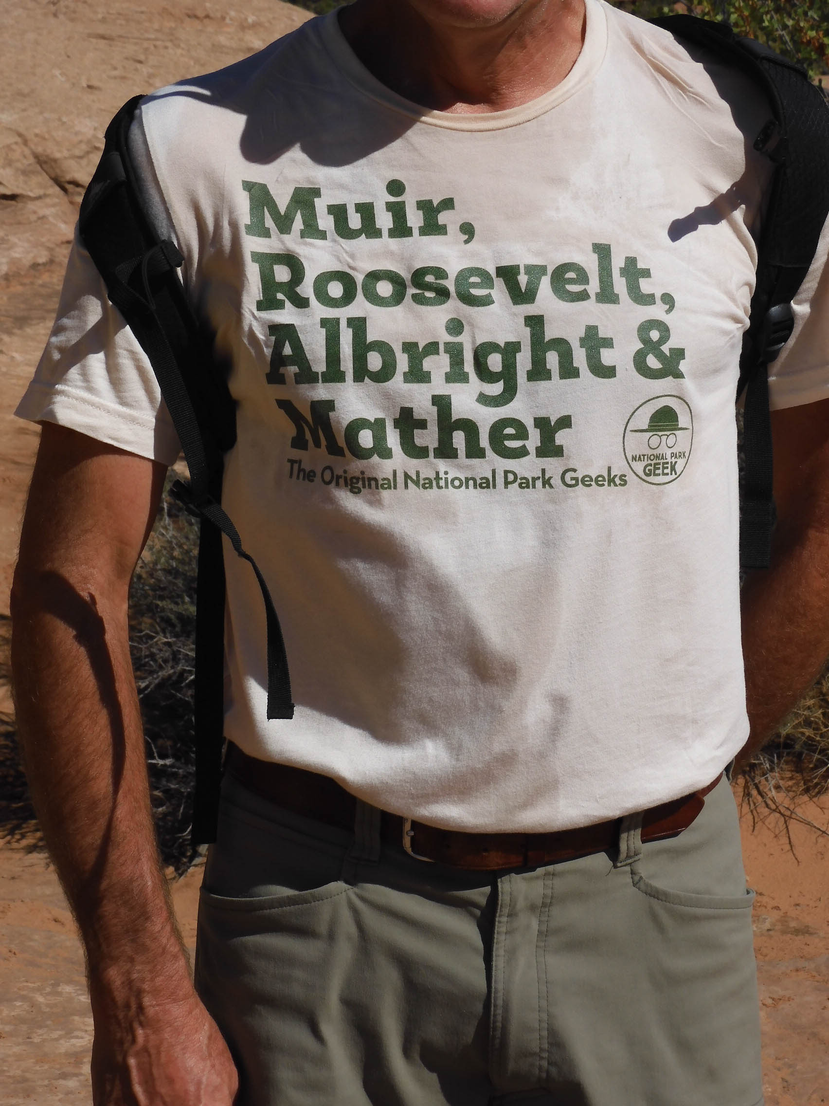
We met a park geek with a park geek t-shirt on the trail up to Delicate Arch. He let Eric photograph his shirt. Not too many people know that Mather was the first director of the NPS, but even fewer know that Albright was his deputy director. Mather was incapacitated by his bipolar condition through much of his tenure as director, and Albright loyally performed most of Mather's duties and covered for him. Both of them were Cal Berkeley alumni. [http://npshistory.com/brochures/whsa/mather-albright-2012.pdf & https://www.psychologytoday.com/us/blog/the-guest-room/201803/the-triumph-manic-mather]
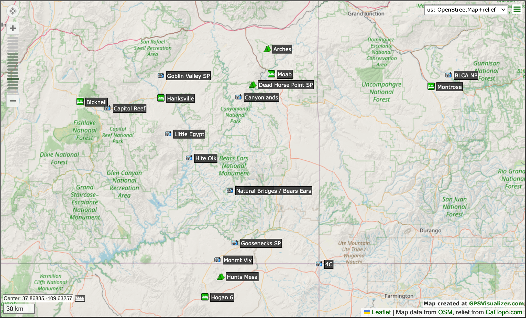
Map of our Colorado Plateau excursion.
You can follow the pages through with links at the bottom of each page, starting with the beginning of our trip in the Capitol Reef area.
Or you can use these direct links to pages with specific adventures:
- Setting out on our journey into the vicinity of Capitol Reef National Park
- An odd conglomeration of roadside attractions in the vicinity of Capitol Reef National Park
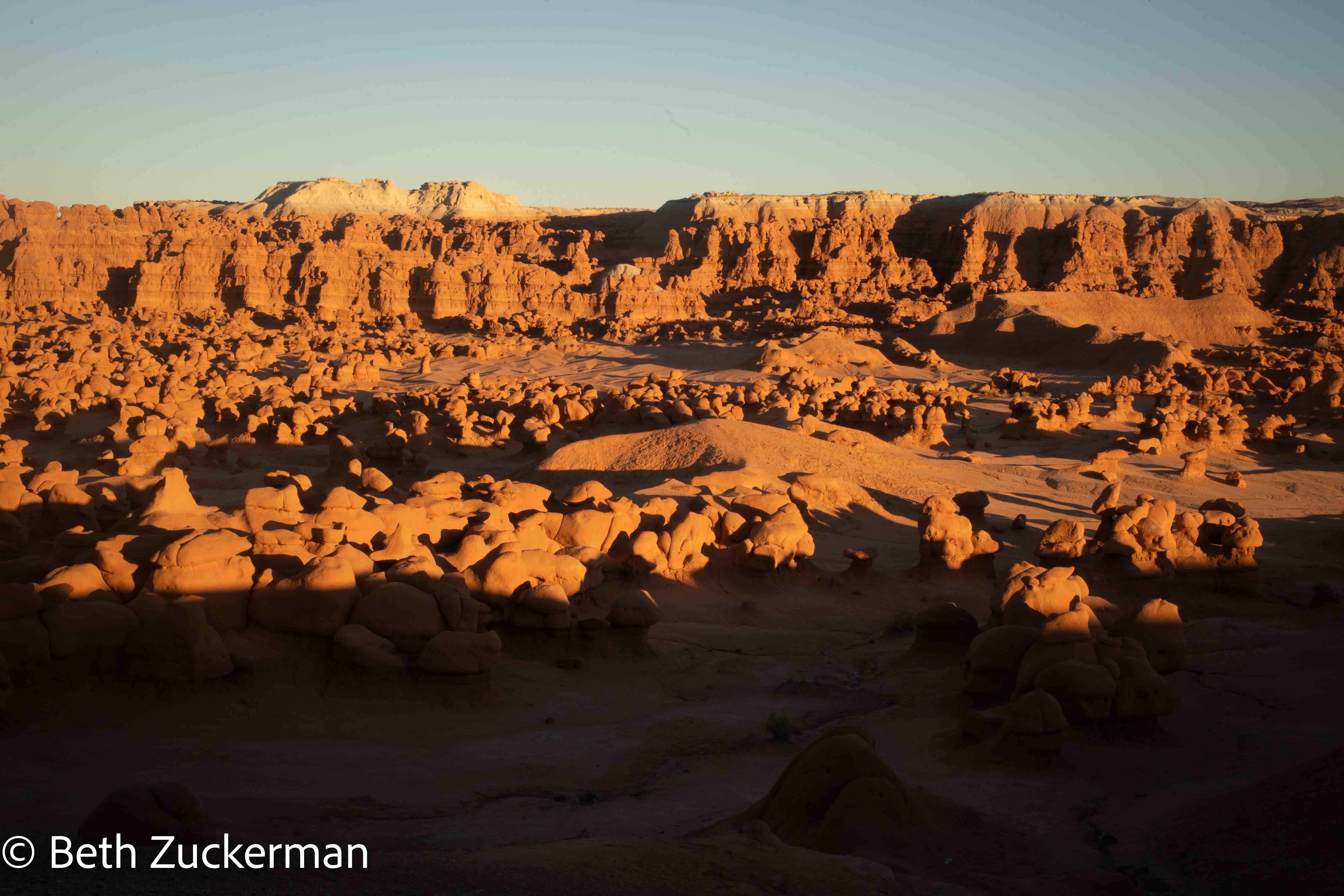
- Delightful hoodoos at Goblin Valley State Park
- More hoodoos in remote Little Egypt (Photo by Eric)
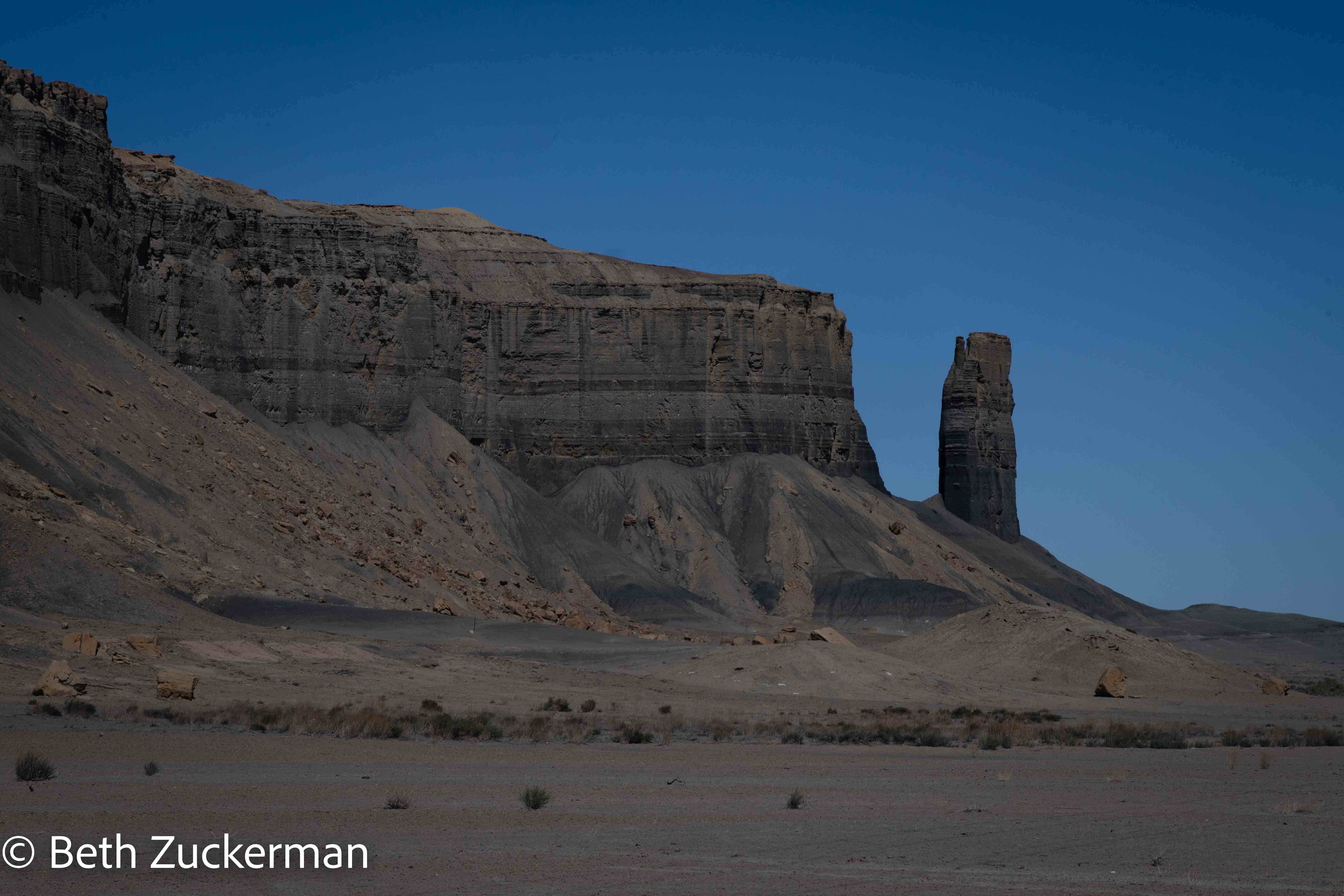
- Fascinating geologic bridge formations at Natural Bridges National Monument, with a quick dip into threatened Bears Ears National Monument
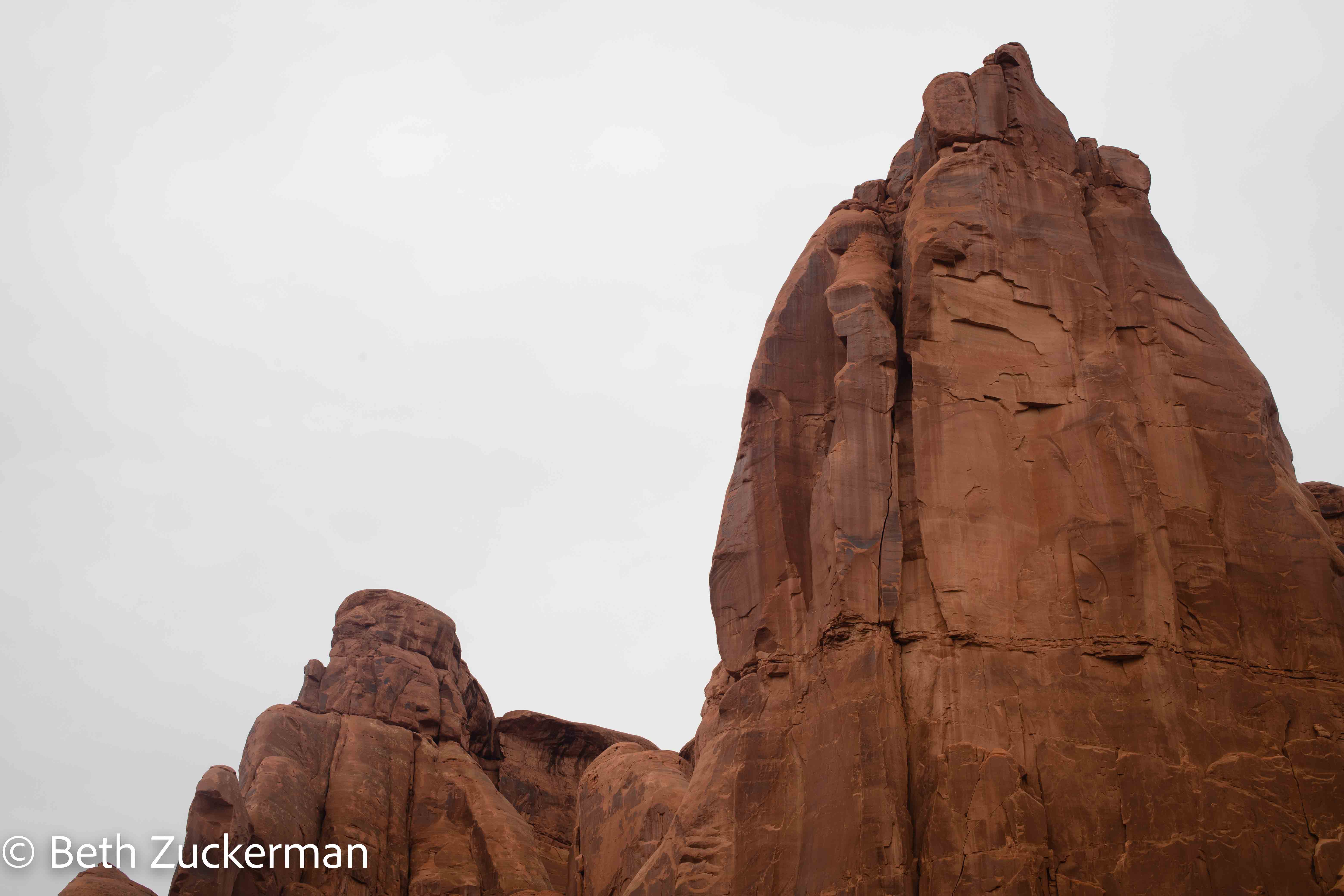
- Dramatic arches at Arches National Park, Utah
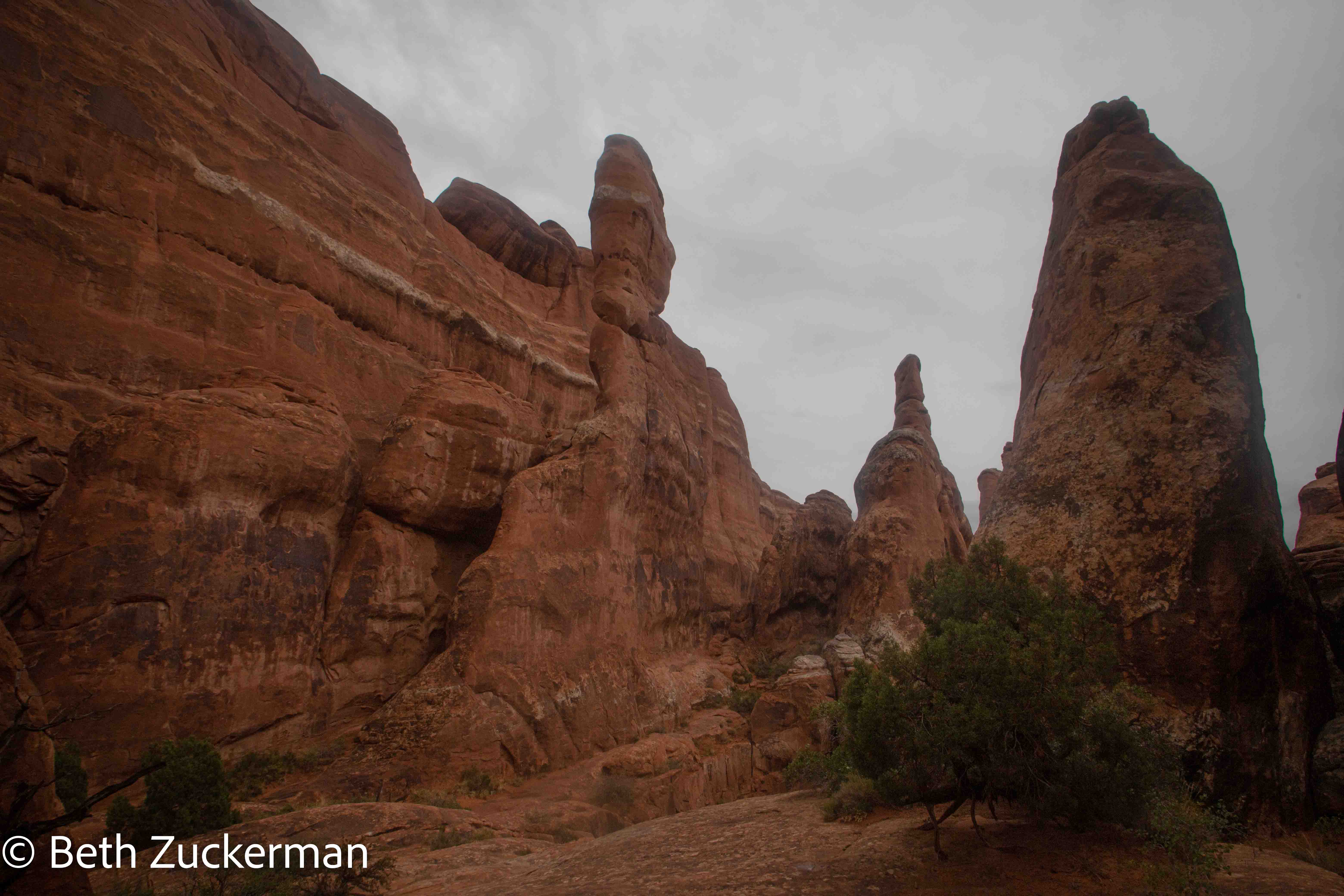
- Narrow canyons between fins in the Fiery Furnace, one of the most incredible geologic sites we've seen
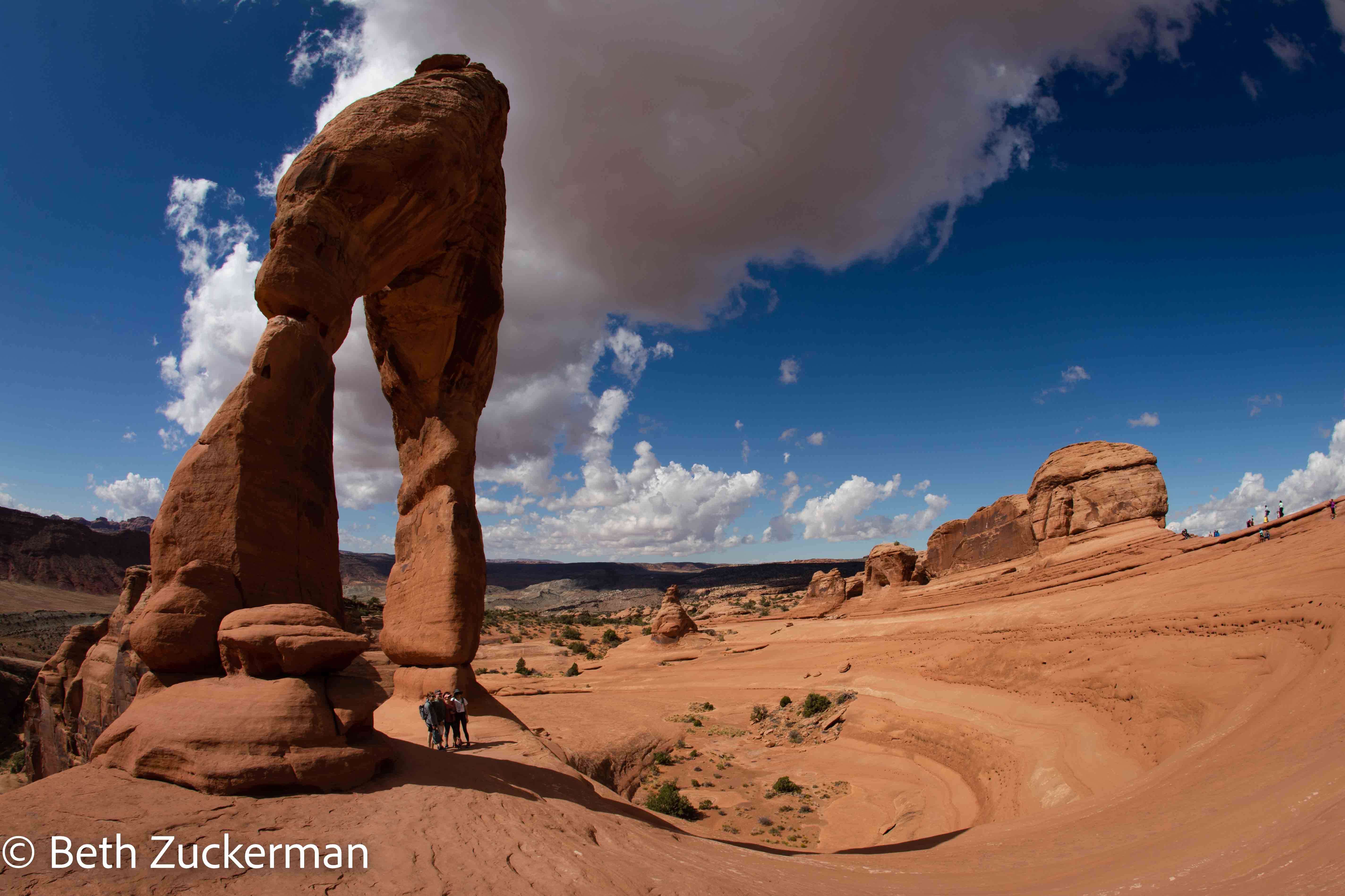
- Famous Delicate Arch
- The most exciting adventure of our journey, a overnight bikepacking trip with Dzil Ta'ah Adventures to Hunts Mesa, overlooking mind-blowing Monument Valley, with side trips to Goosenecks State Park and Four Corners Monument
- Camping at Dead Horse Point State Park (Photo by Eric)
- Hiking out to dramatic overlooks in Canyonlands National Park
- Exploring our surroundings in Dead Horse Point State Park
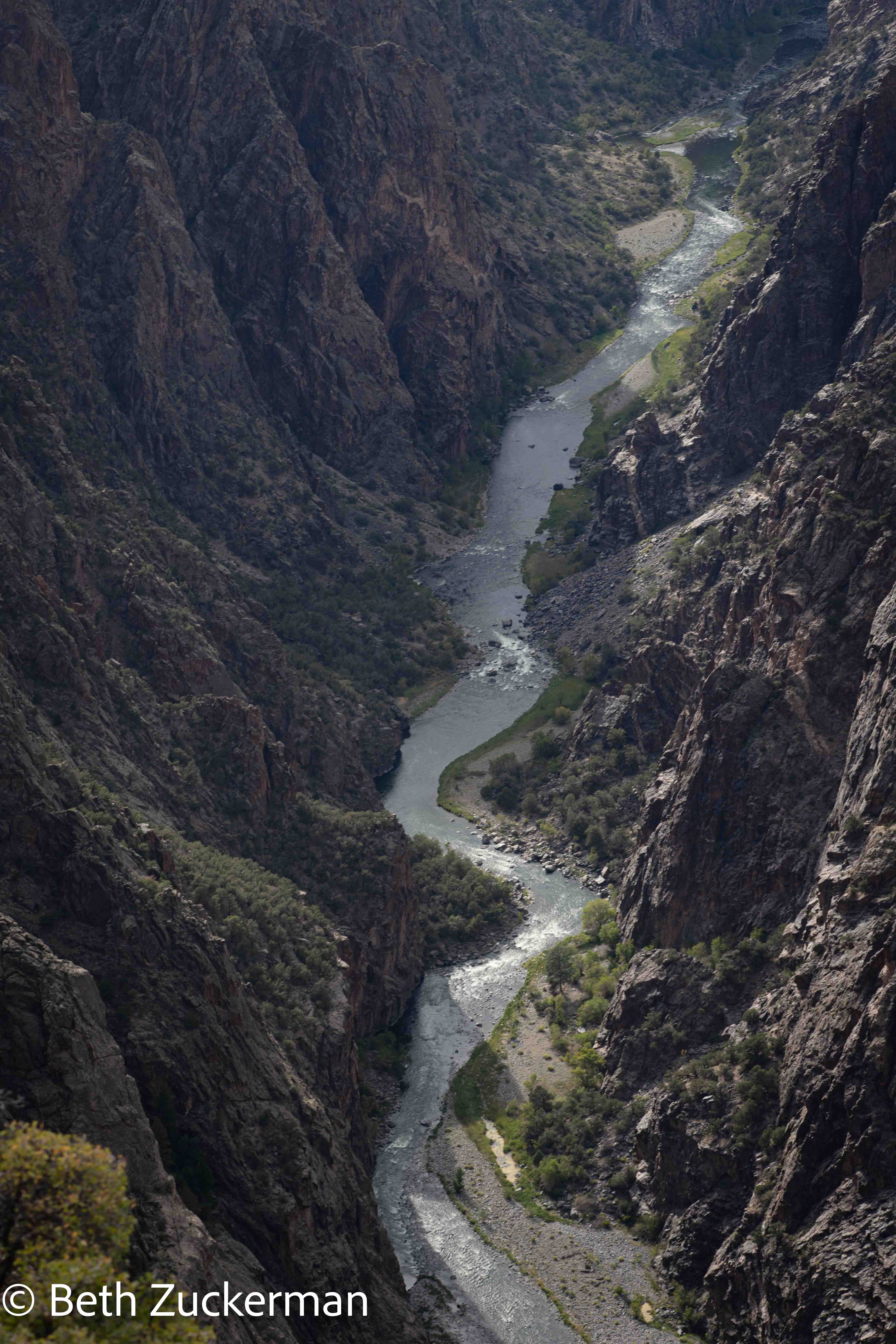
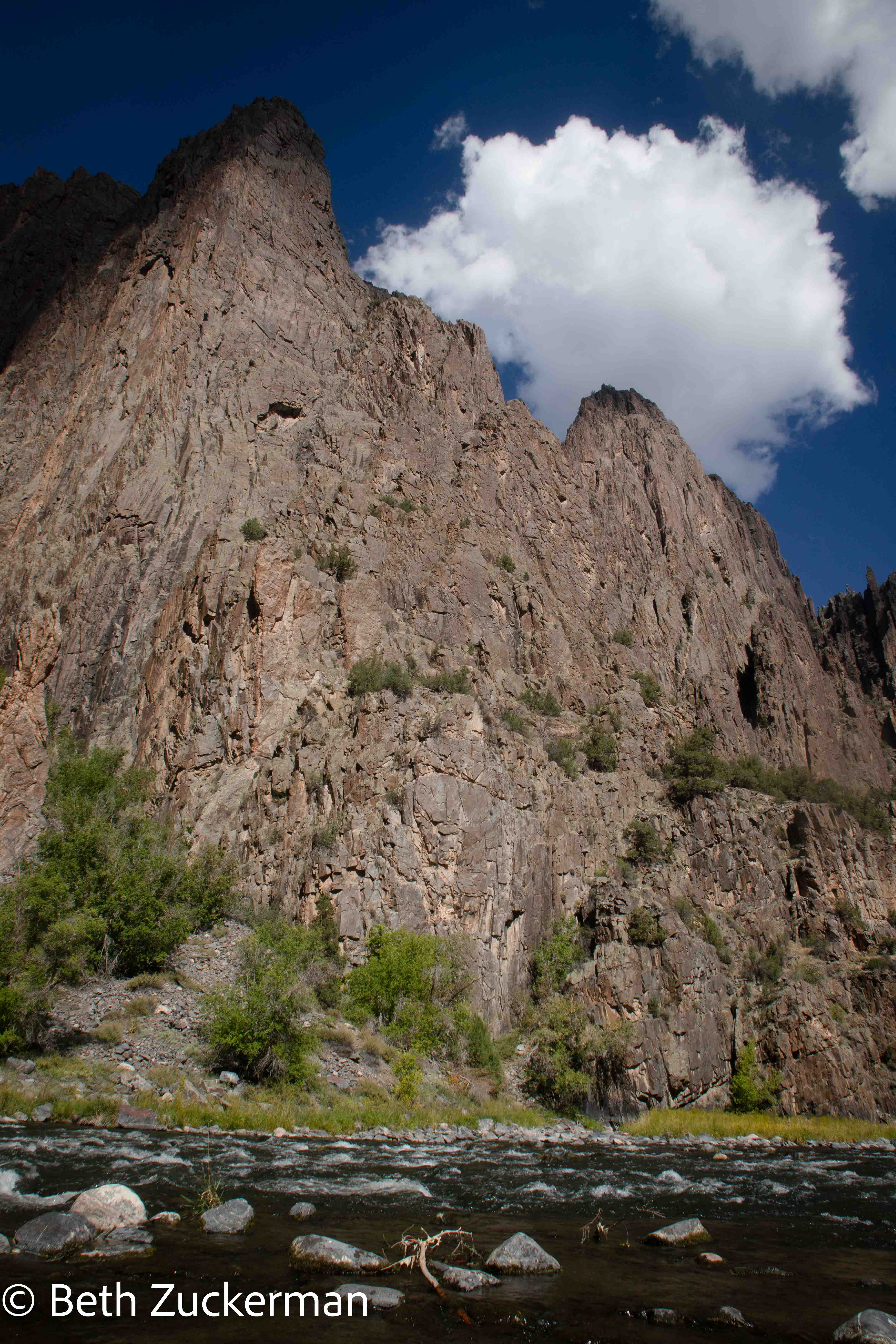
- Steep canyon walls in Black Canyon of the Gunnison National Park
- Our exciting journey to the bottom of the inner canyon on the Gunnison Route
- Gazing down into the canyon from the south rim
Capitol Reef National Park Area, Utah


Arches National Park
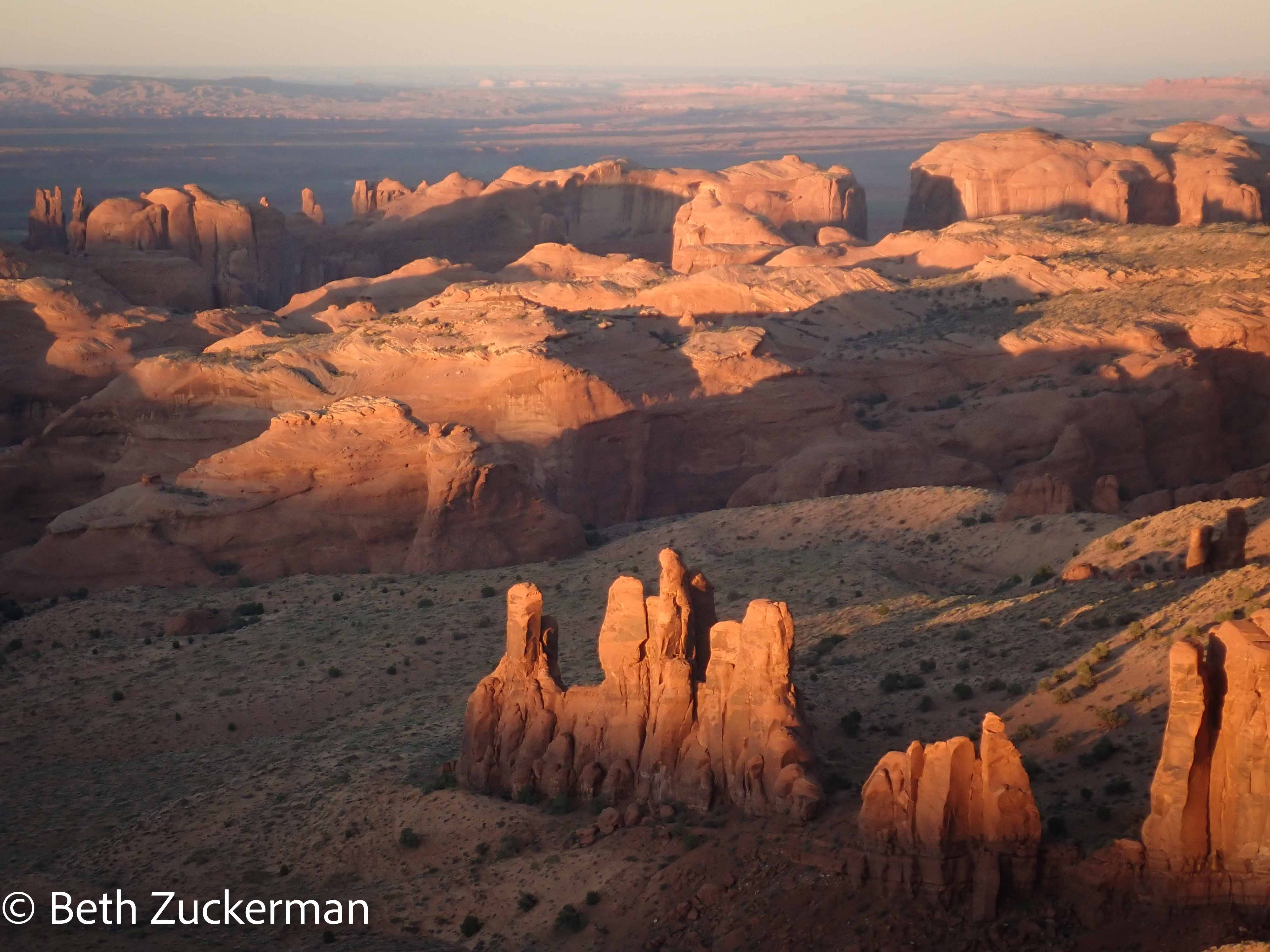
Monument Valley, Navajo Nation
Canyonlands National Park, Utah
Black Canyon of the Gunnison National Park, Colorado

Total driving: 3,286 mi
Total hiking: 33.4 km/20.75 mi, on some very strenuous trails
Total cycling: 19 km/11.8 mi, on very steep, unpaved terrain
Total caches found: 31