Yosemite High Country and Eastern Sierra
Saturday-Tuesday 18-22 June, 2022
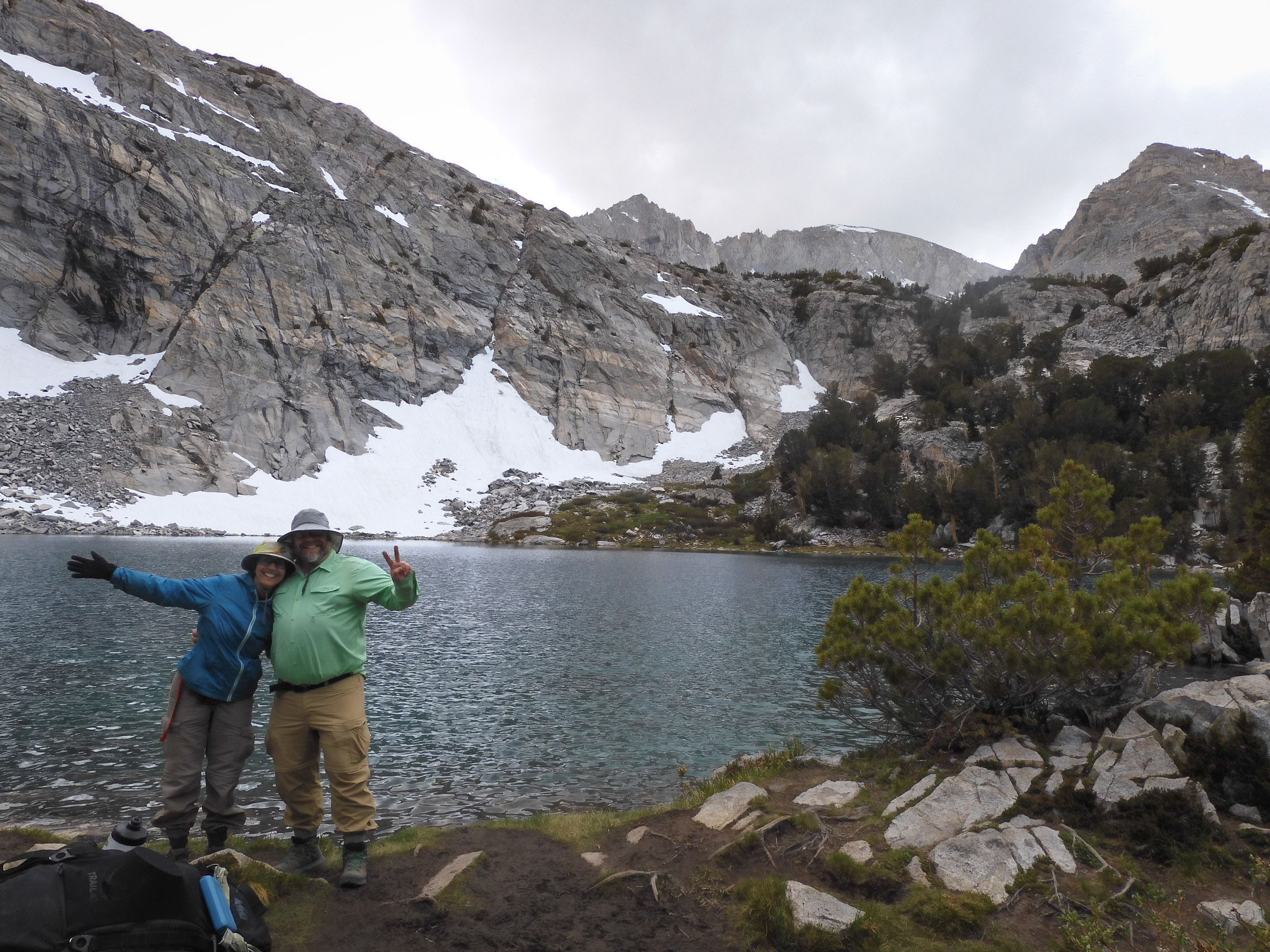
Us at Gem Lakes. Photo by another hiker.
"Eastern California is arguably the most geologically diverse place on Earth. It has nearly everything a geologist could want, including young volcanoes, frequent earthquakes, recent glaciation, a record of the rapid diversification of life 540 million years ago, glacial deposits from a time when the entire planet was iced over, sand dunes, hot springs, slot canyons, dried beds of former desert lakes, strange tufa towers, and thick volcanic ash beds from distant supereruptions." -- Geology Underfoot in Death Valley and Eastern California, Glazner, Sylvester, & Sharp
Even with great wanderlust for new places, the eastern Sierra, with its sulfurous smells, surprise weather, and sublime light, keeps drawing us back.
Panoramic views of Mono Lake and the high Sierra await at the summit of Mt. Dana, at 3,981 m/13,061 ft, the highest non-technical climb in Yosemite National Park. But the hike is a grueling ascent up 946 m/3,103 ft in 11.2 km/7 mi. After barely managing Wheeler Peak last fall, we wanted to climb an even more amazing peak (with an earlier start).
An arduous hike such as Dana requires rigorous training. We took twelve training hikes over almost four months, covering 89.7 km/55.7 mi. Such an adventures also requires acclimatization to the high altitude, so we took the Juneteenth holiday weekend and spent three nights and two days in the magnificent beauty of the eastern Sierra before the ascent. We stayed in convenient Lee Vining overlooking beautiful Mono Lake, and planned high-altitude hiking and paddling activities that were also rewarding in themselves.
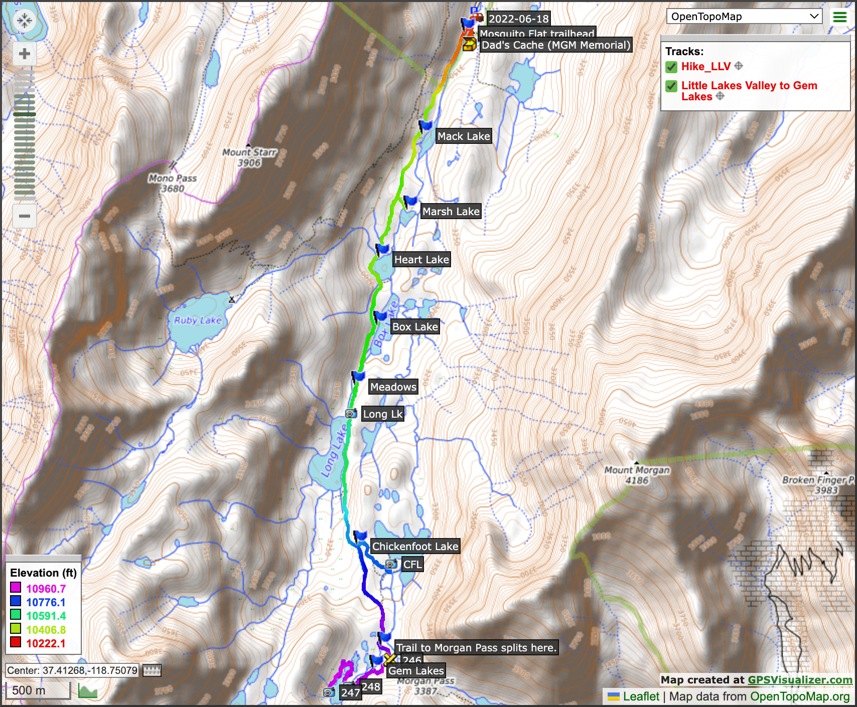
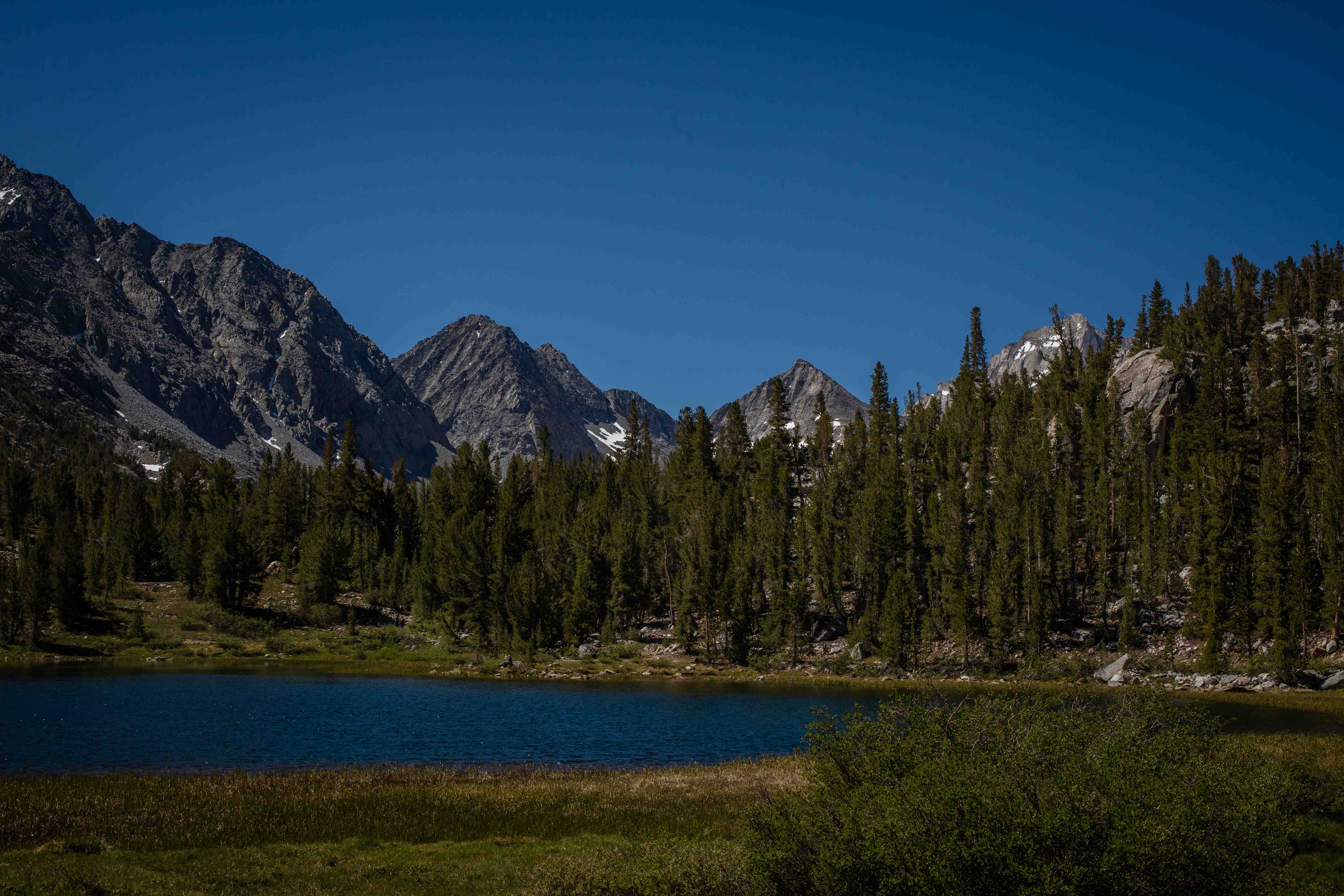
Little Lakes Valley--Saturday, 18 June, 2022
Map of our tramp through the Little Lakes Valley.
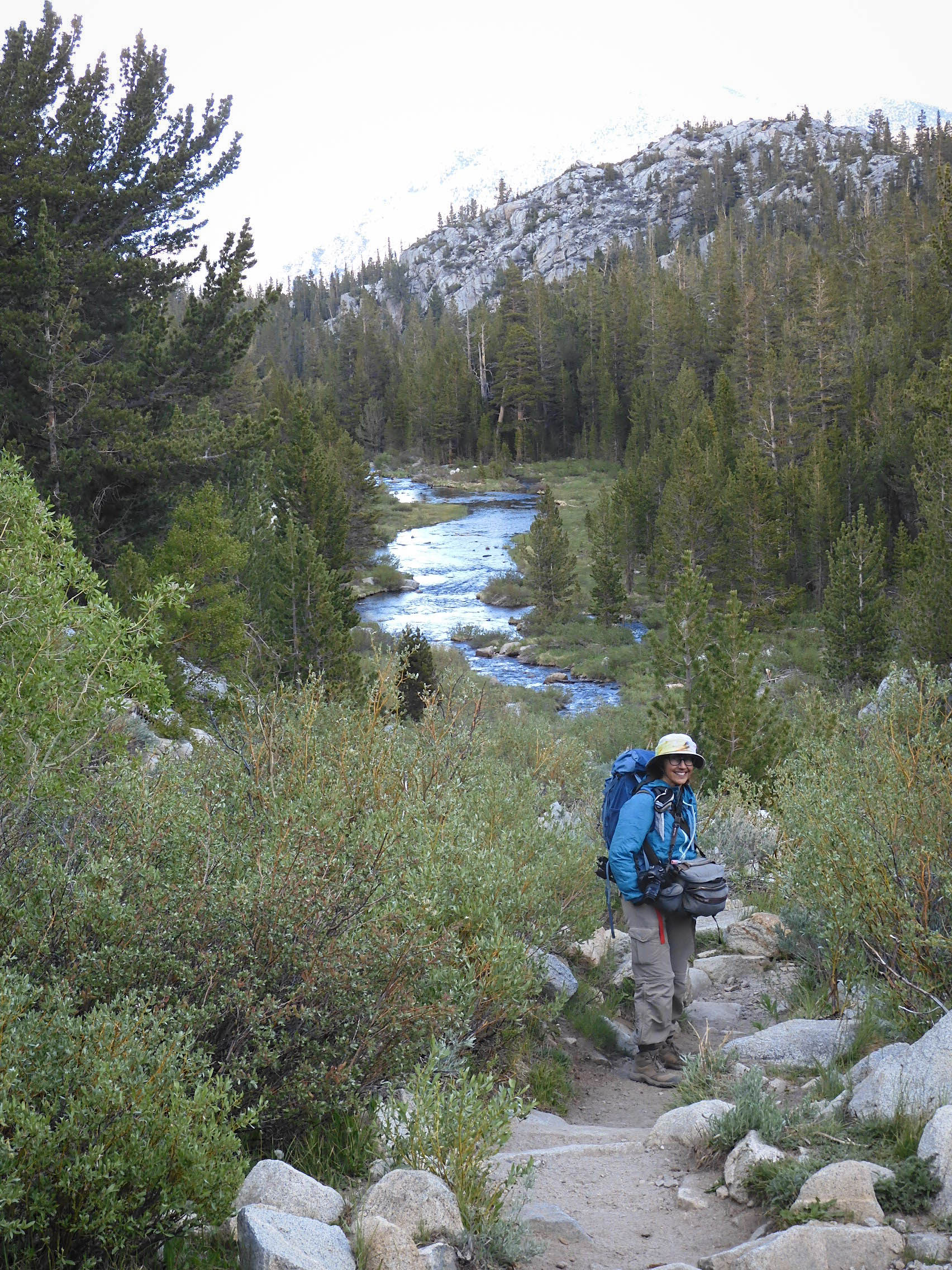
Eric took my picture as we headed off into the wilderness.

The trail begins with a steep but lovely ascent, but is a gentle uphill after that. Photo by Eric.
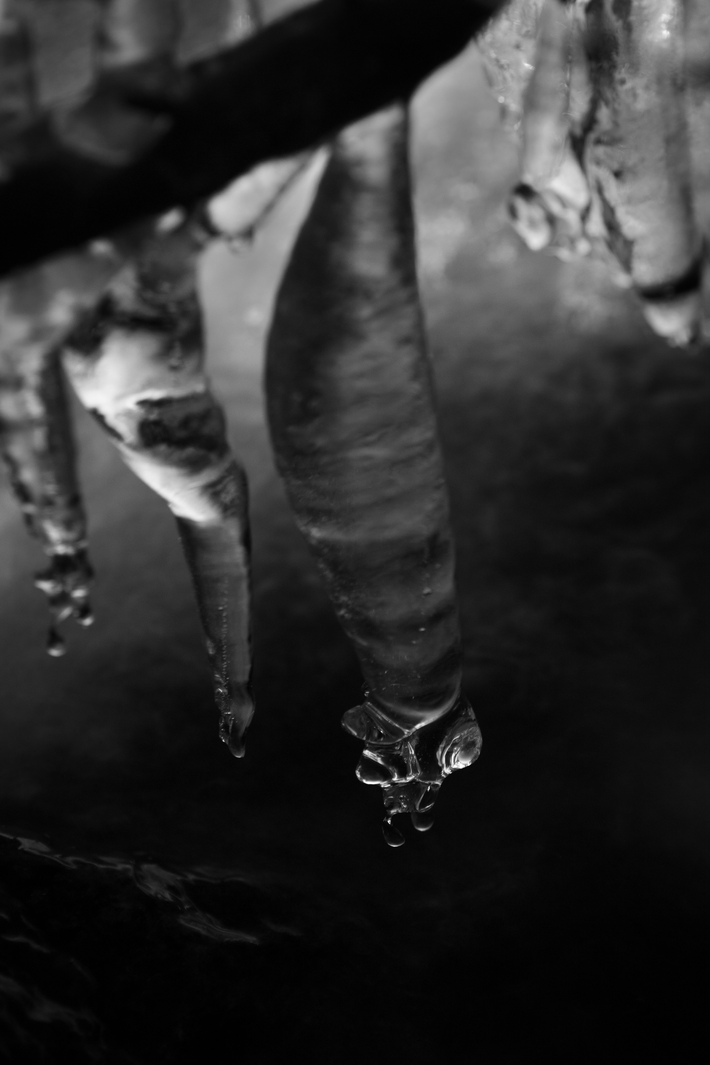
Icicles hanging over Rock Creek. In June!
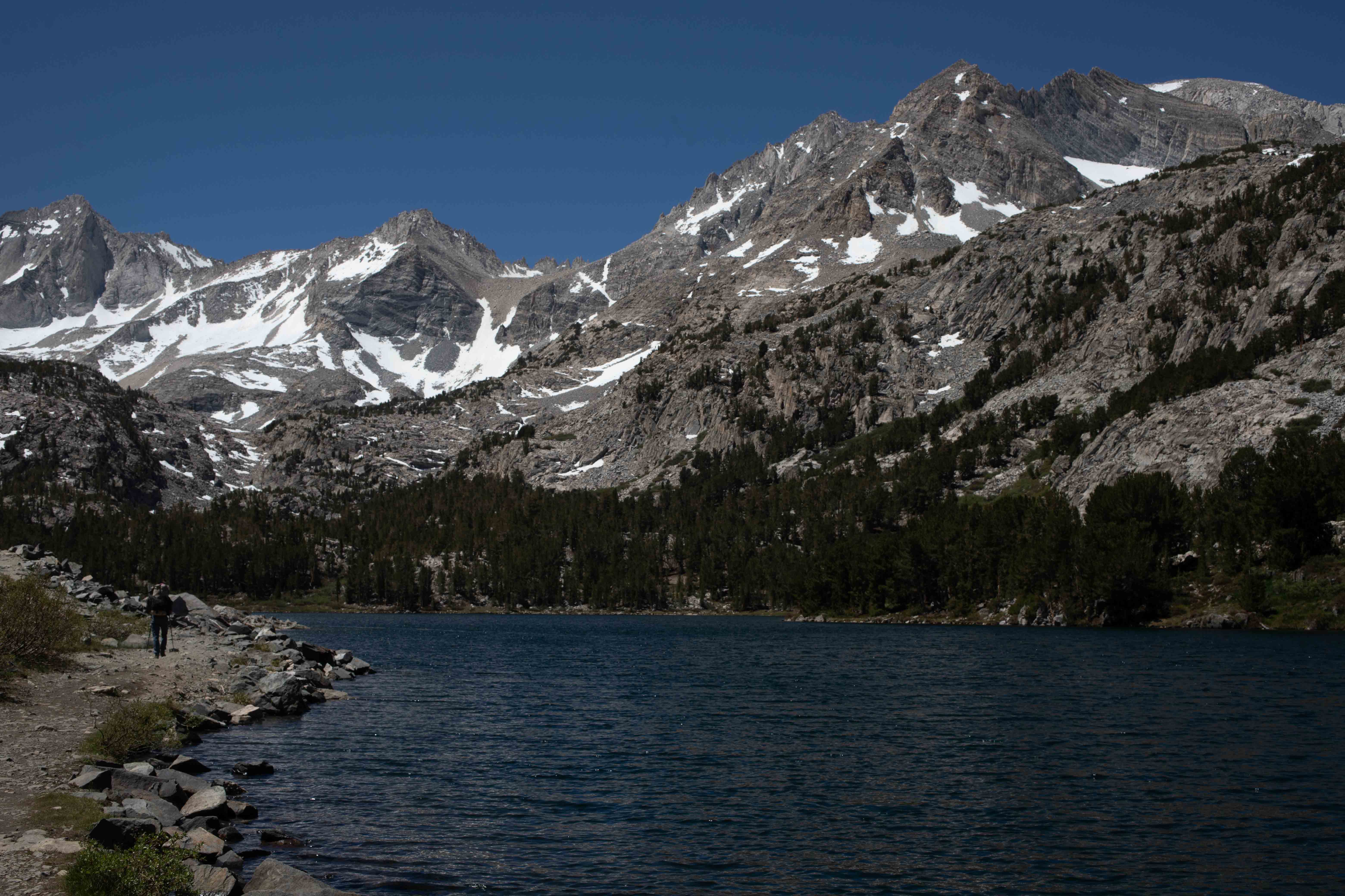
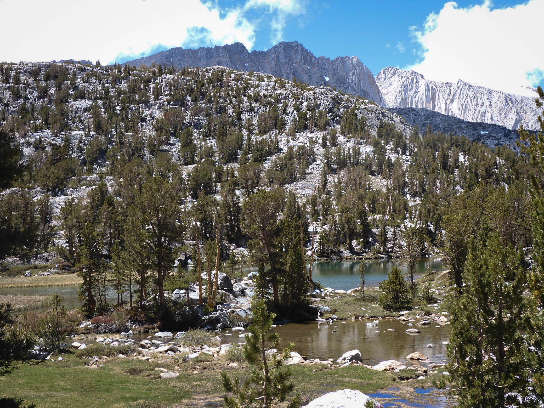
Our route took us past the leftmost mountain (which we think is Mt. Morgan) and nearly up to the patch of snow at the foot of the next mountain beyond (which we think is Bear Creek Spire, with Mt. Dade to the right). View from Heart Lake.
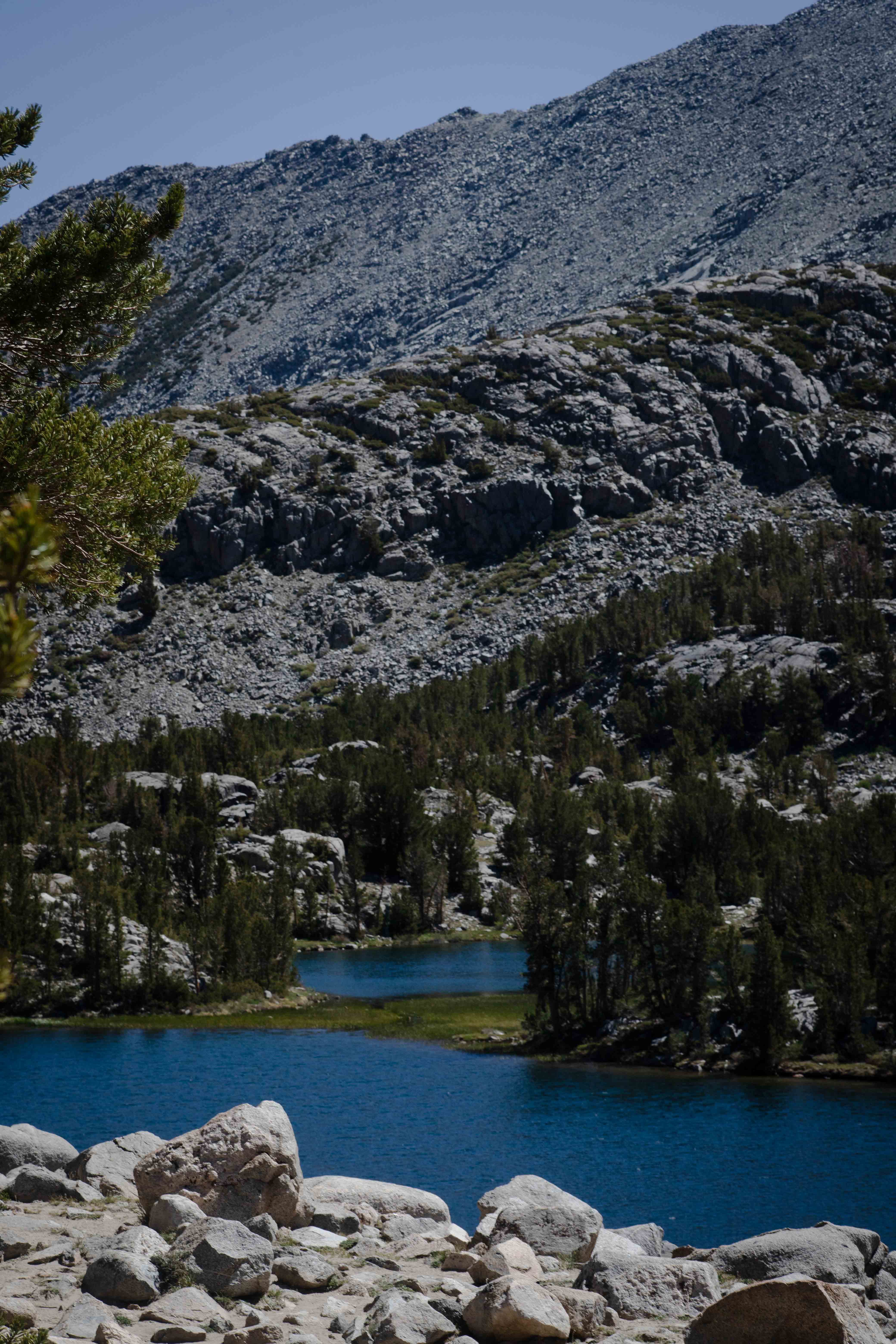
Box Lake.
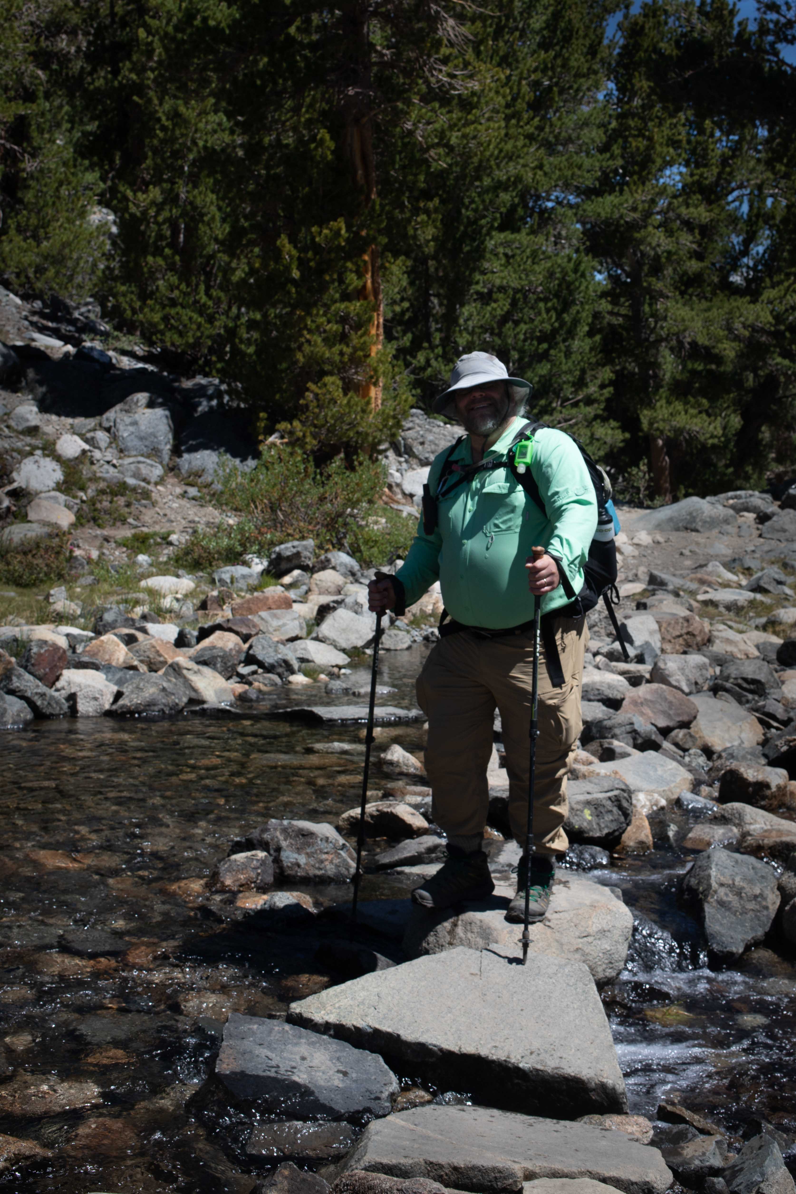
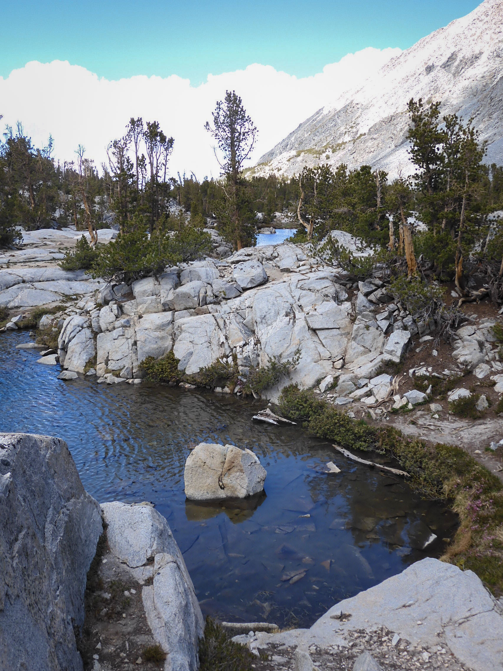
The trail crosses Rock Creek several times, sometimes on bridges, but more often on rocks like this.
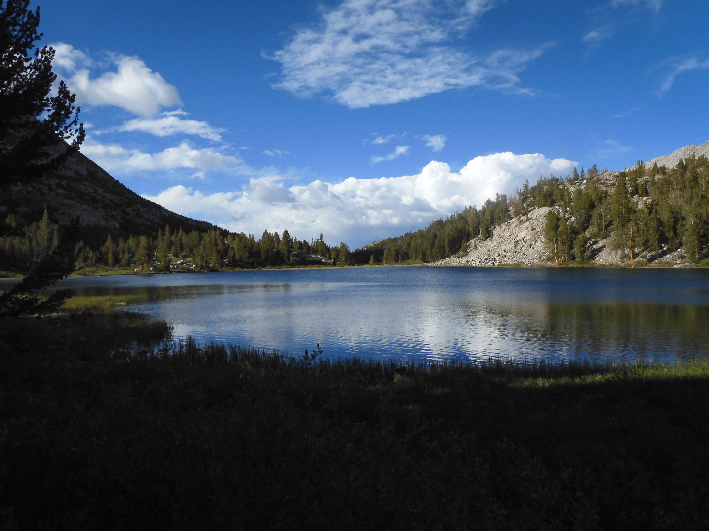
Looking north along Long Lake. Photo by Eric.
Looking south along Long Lake.
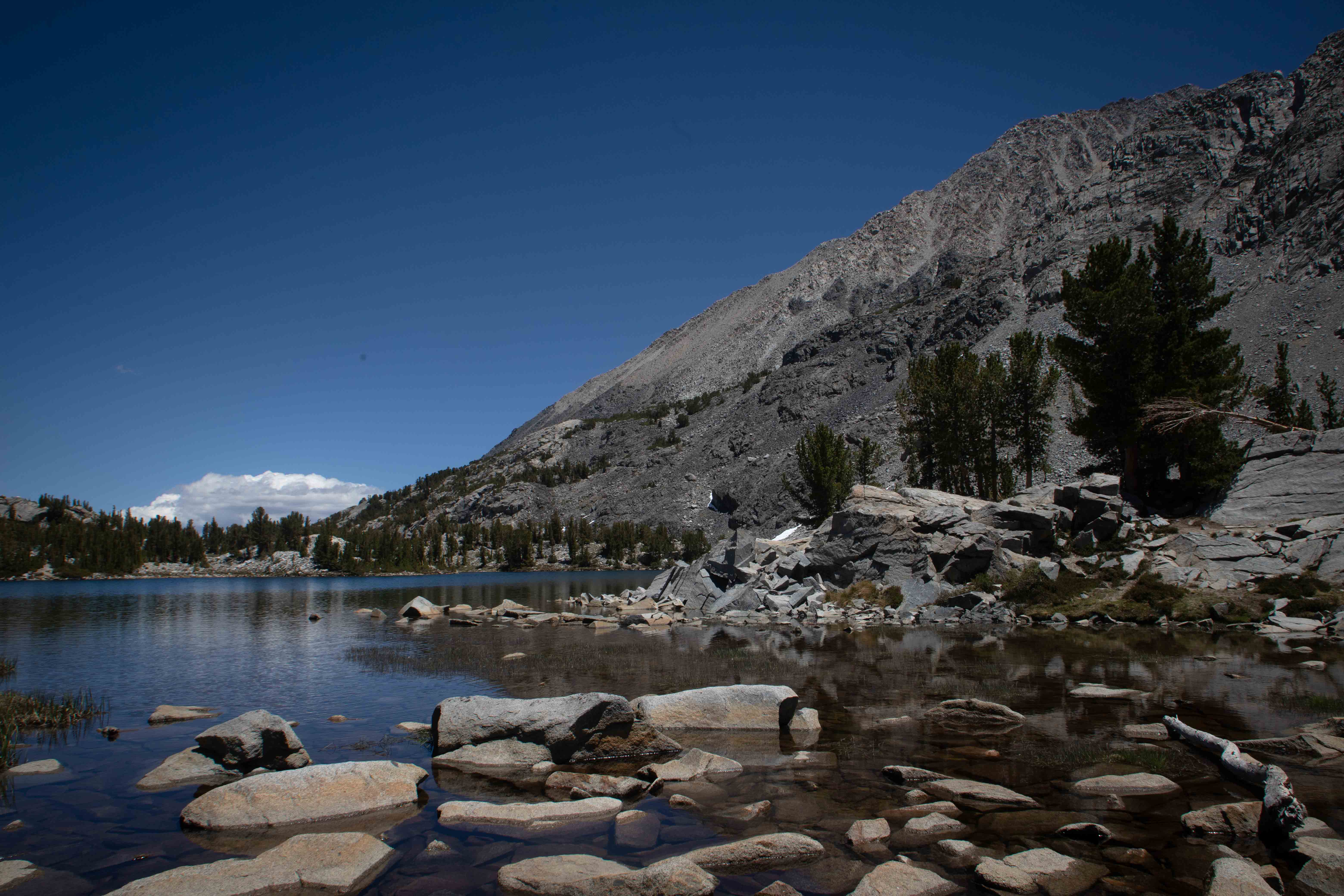
The beauty of Chickenfoot Lake was well worth the detour from the main trail.
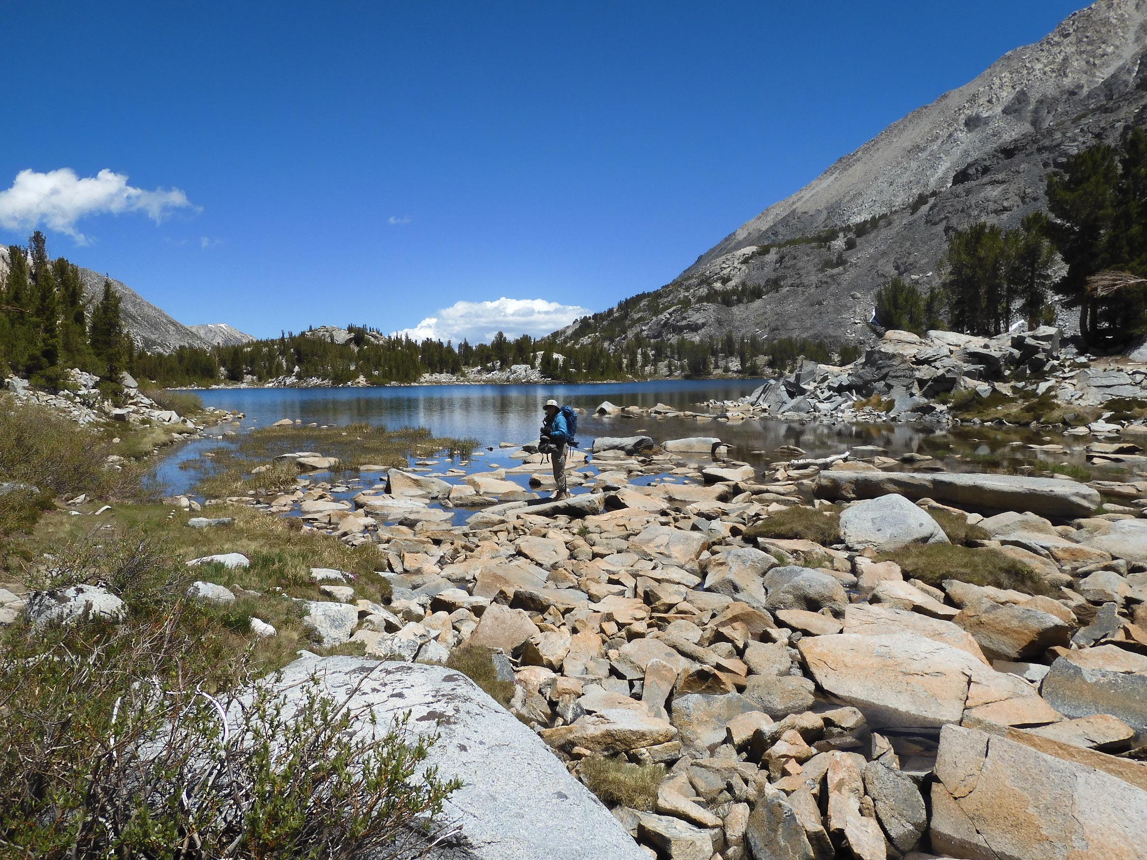
Eric took my picture out on the rocks at Chickenfoot Lake.
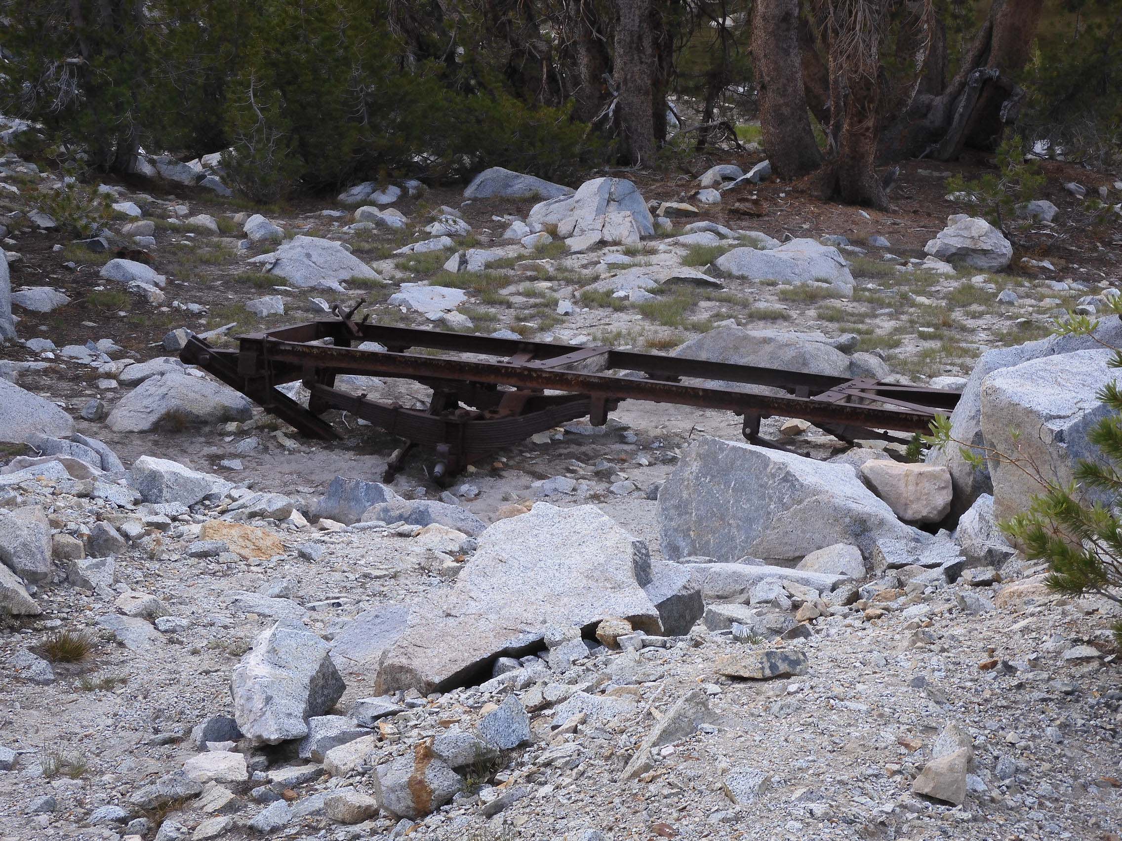
Eric observed some abandoned mining equipment next to the trail.
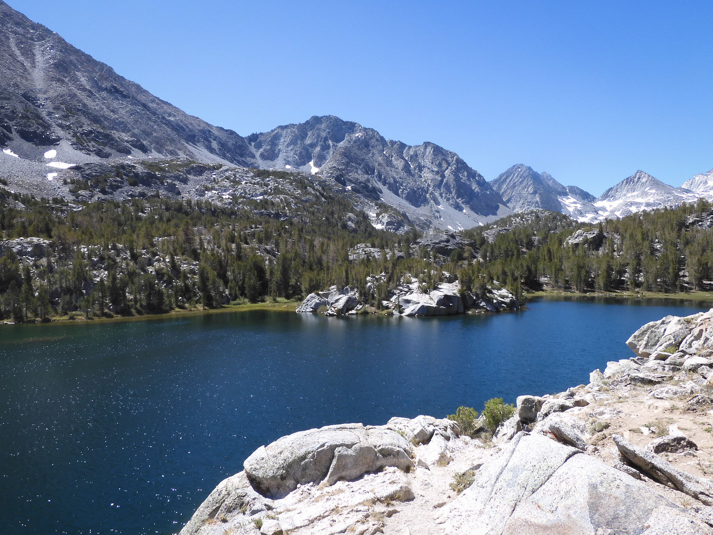
Approach to Gem Lakes.
First of the Gem Lakes. Photo by Eric.
Gorgeous scenery around us. Photo by Eric.
Eric photographed the mountains above Gem Lakes.
We hiked through this beautiful valley of Gem Lakes. Photo by Eric.
Gem Lakes.
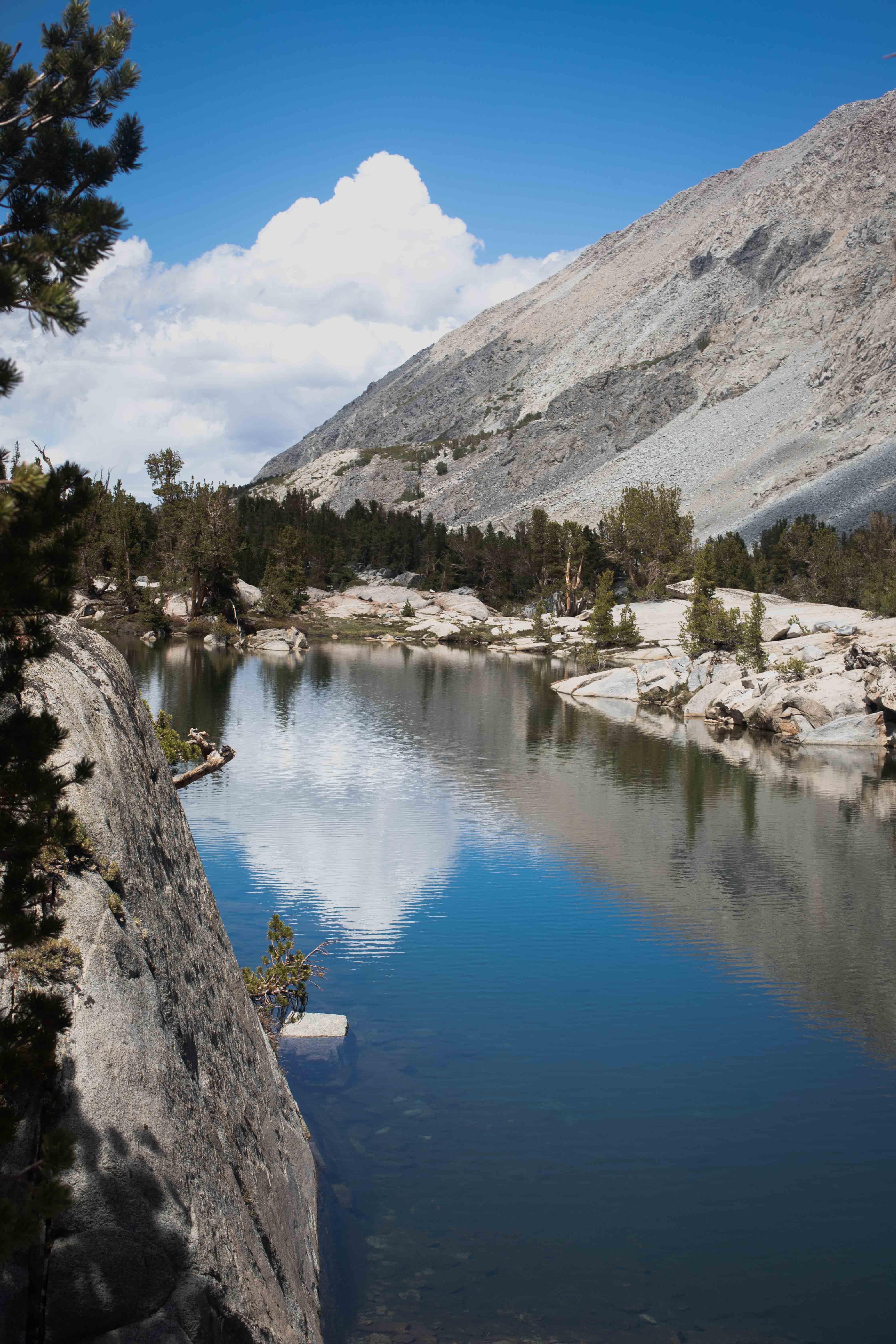
Looking across Gem Lakes. We hiked almost up to the pile of snow in the cirque.
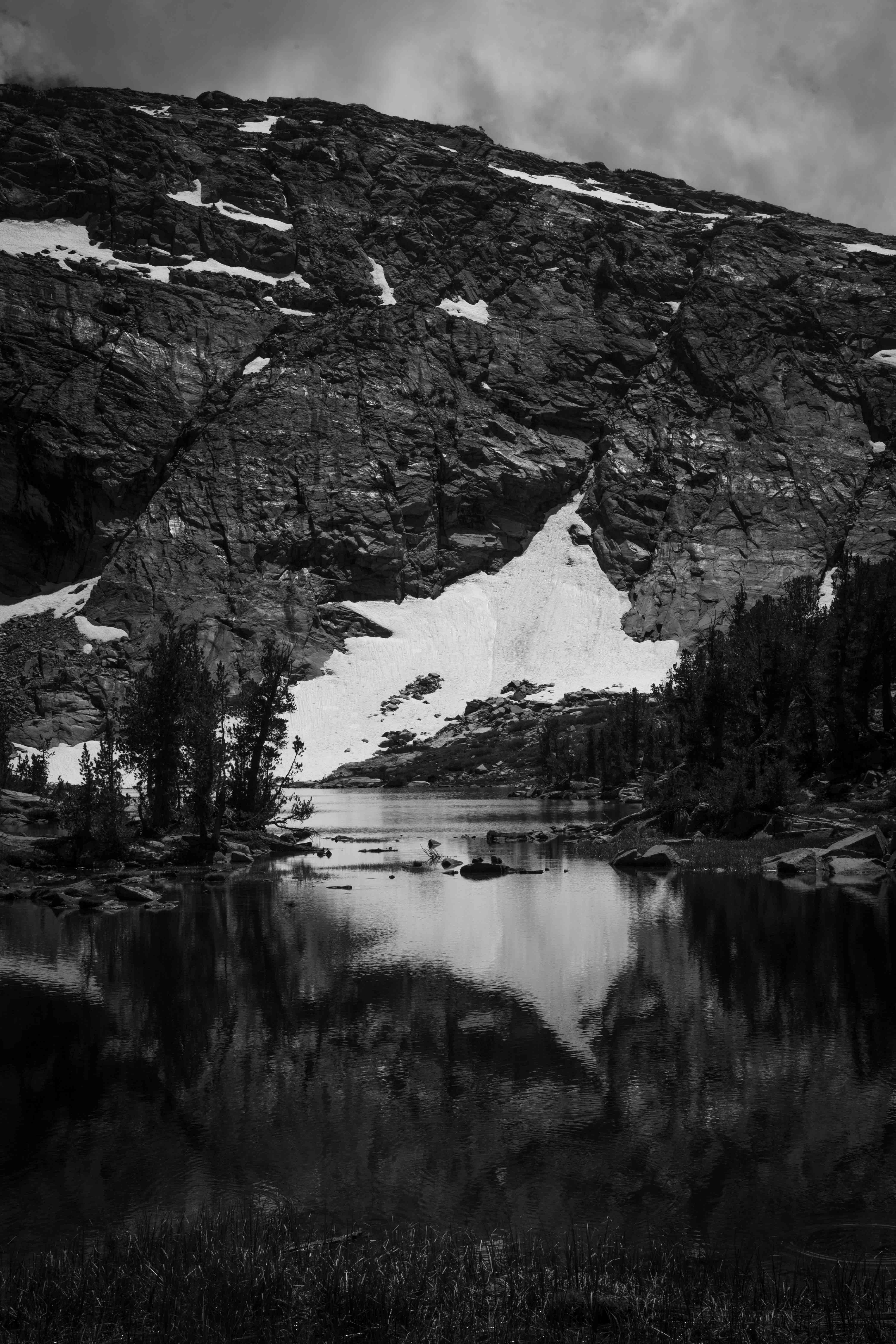
Photo of Gem Lakes by Eric.
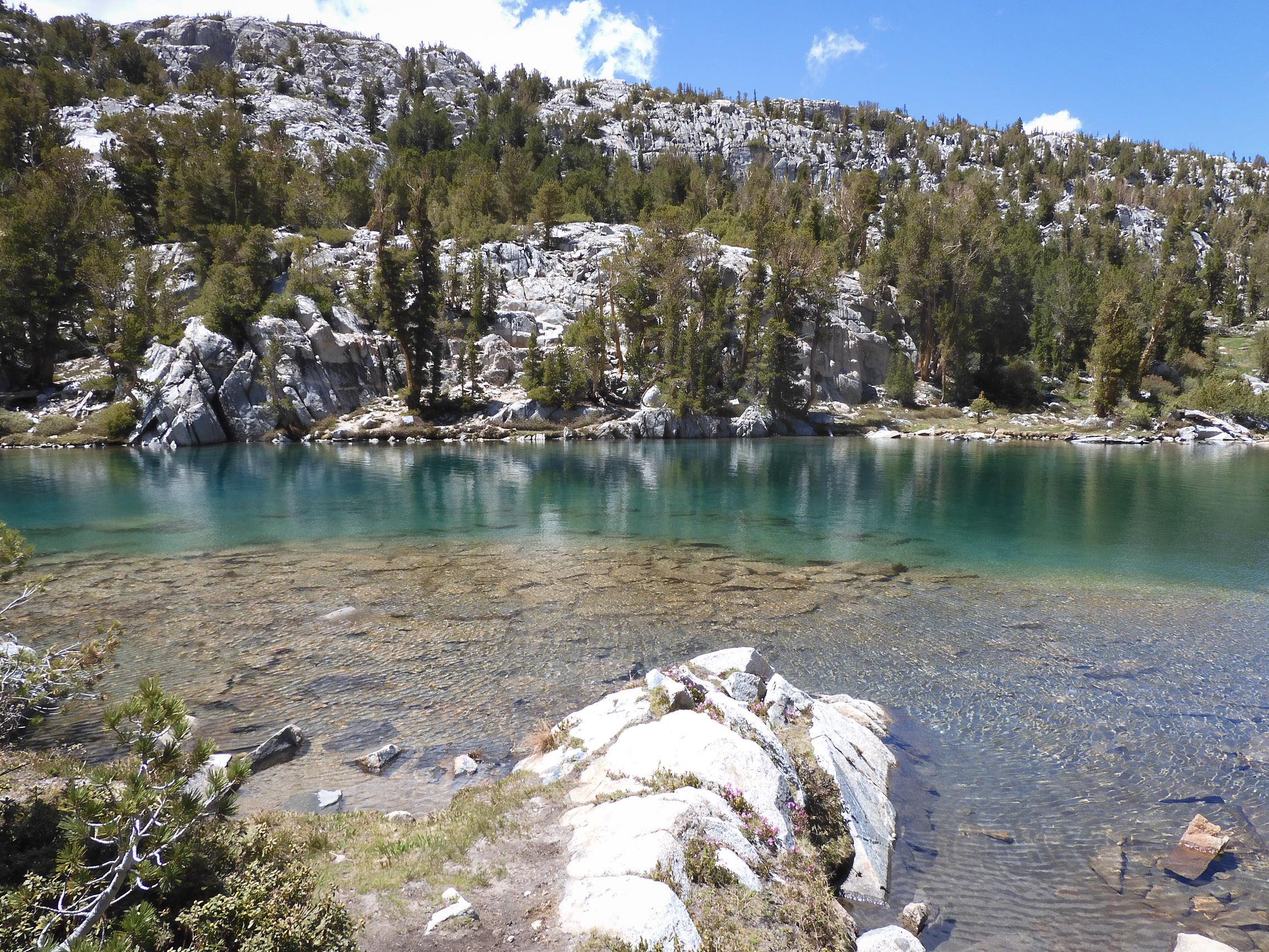
Photo of Gem Lakes by Eric.
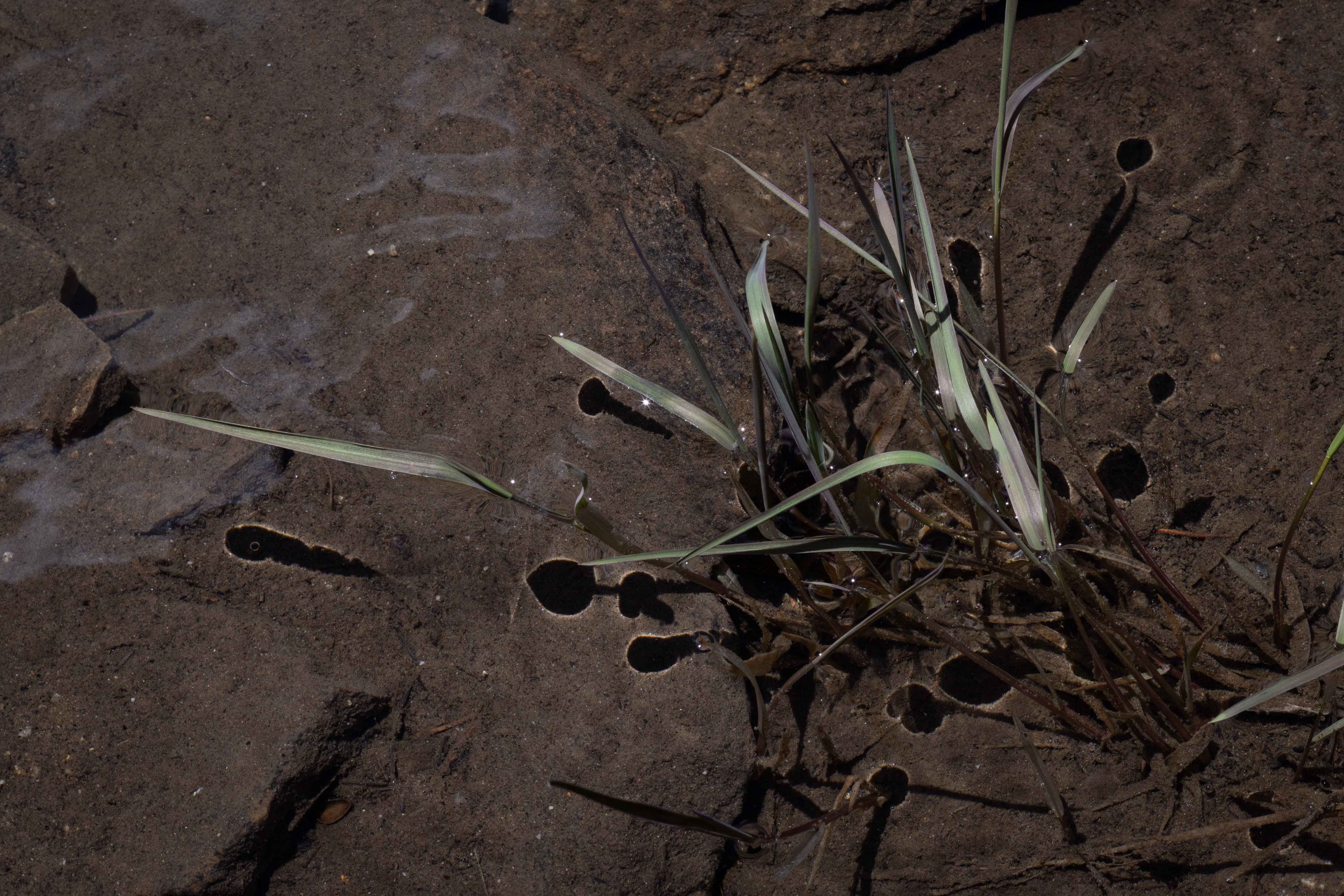
Reeds in one of the Gem Lakes.
Sunken roots in the beautifully clear mountain water.
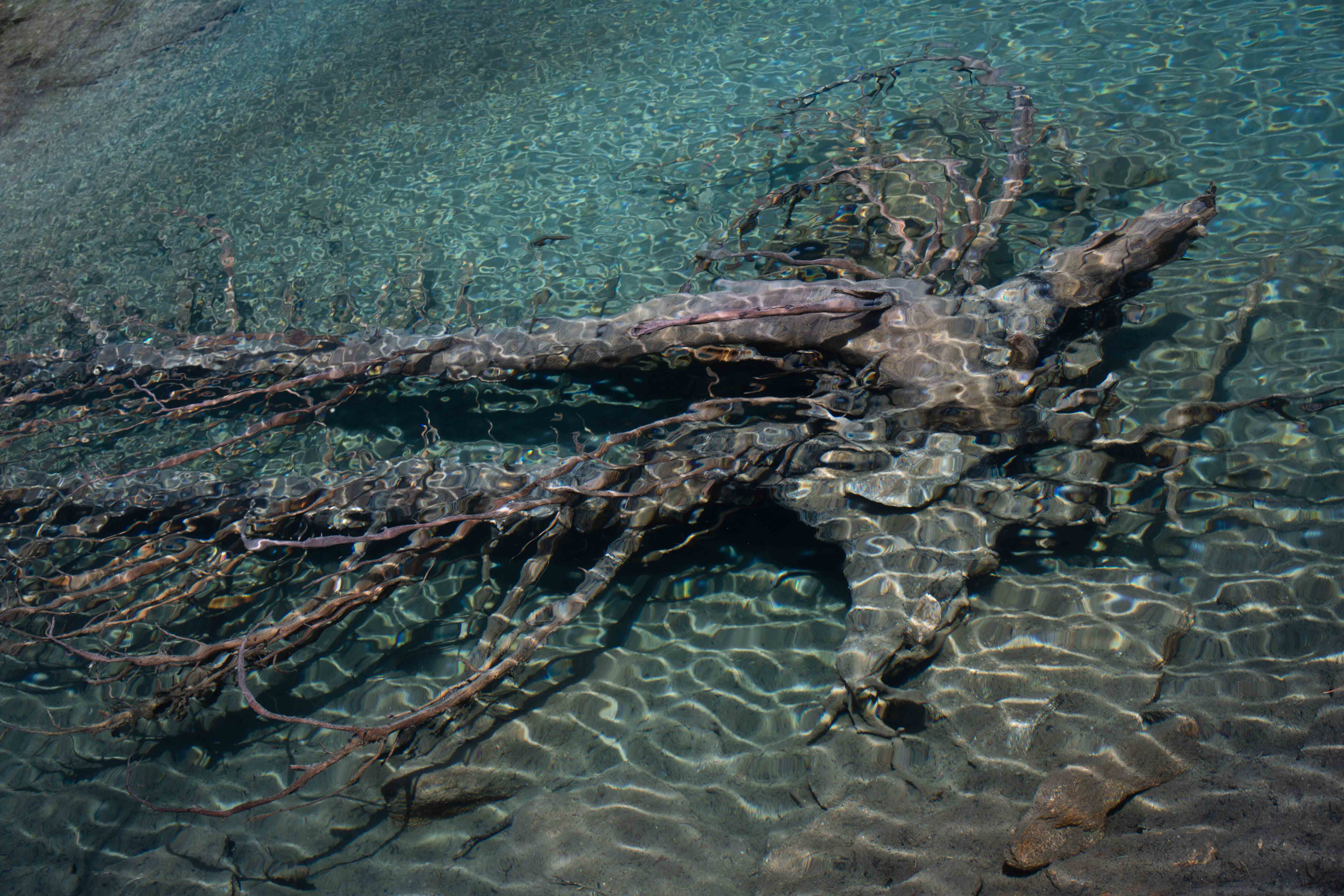
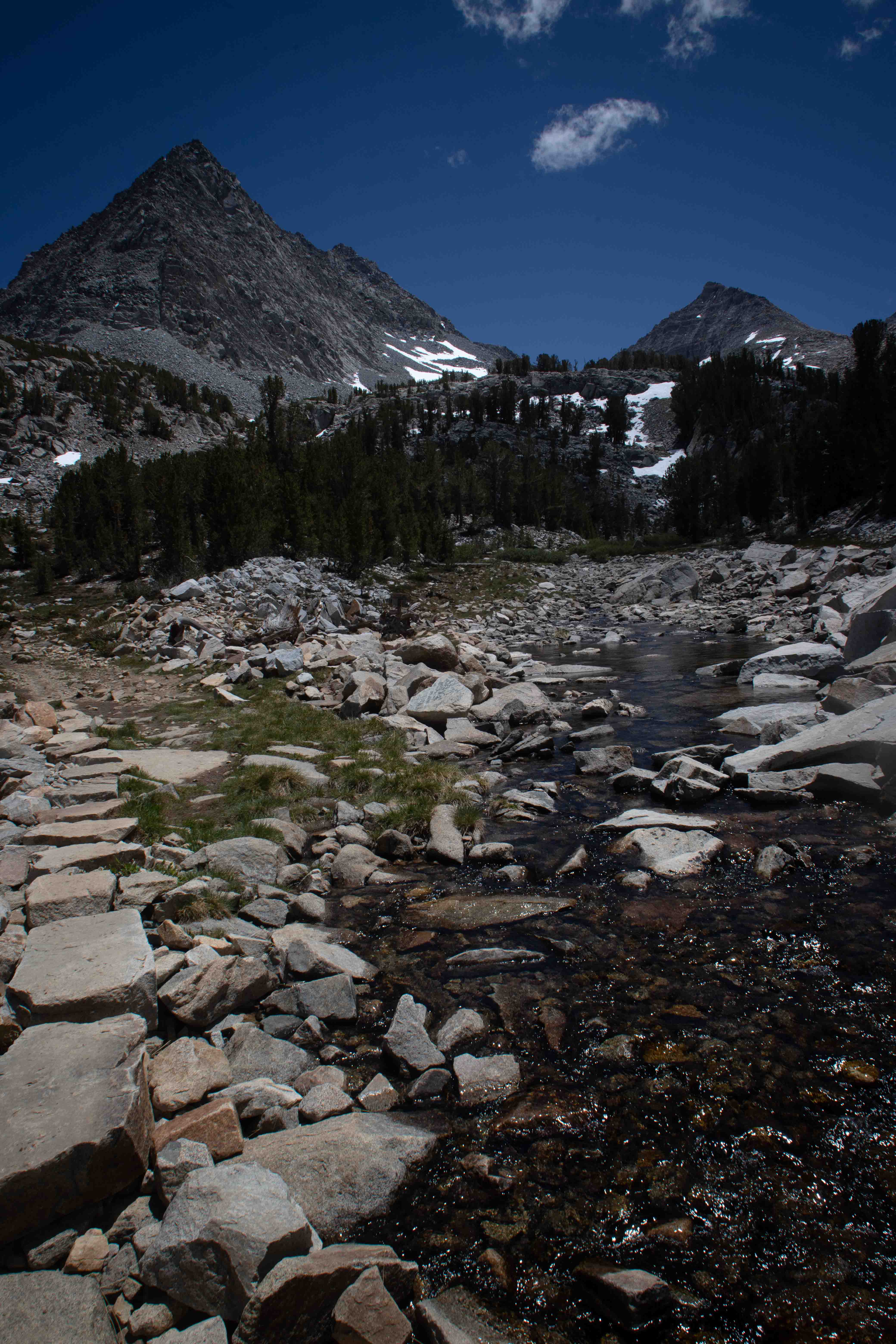
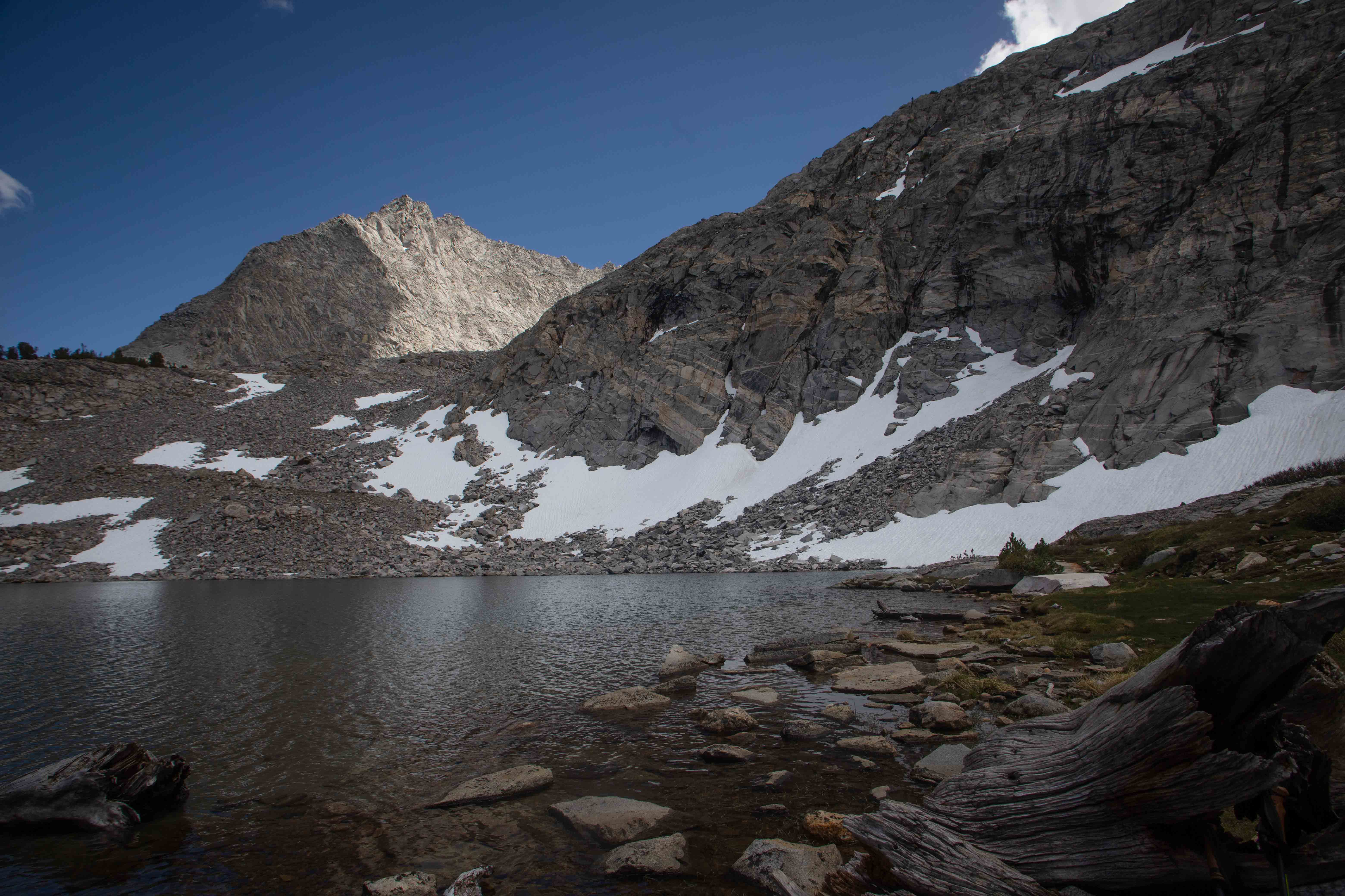
Photo from the endpoint we reached, where the trail ended a short distance from the snow high up in the cirque.
Light snow flurries began to fall as we picnicked beside one of the stunning Gem Lakes.
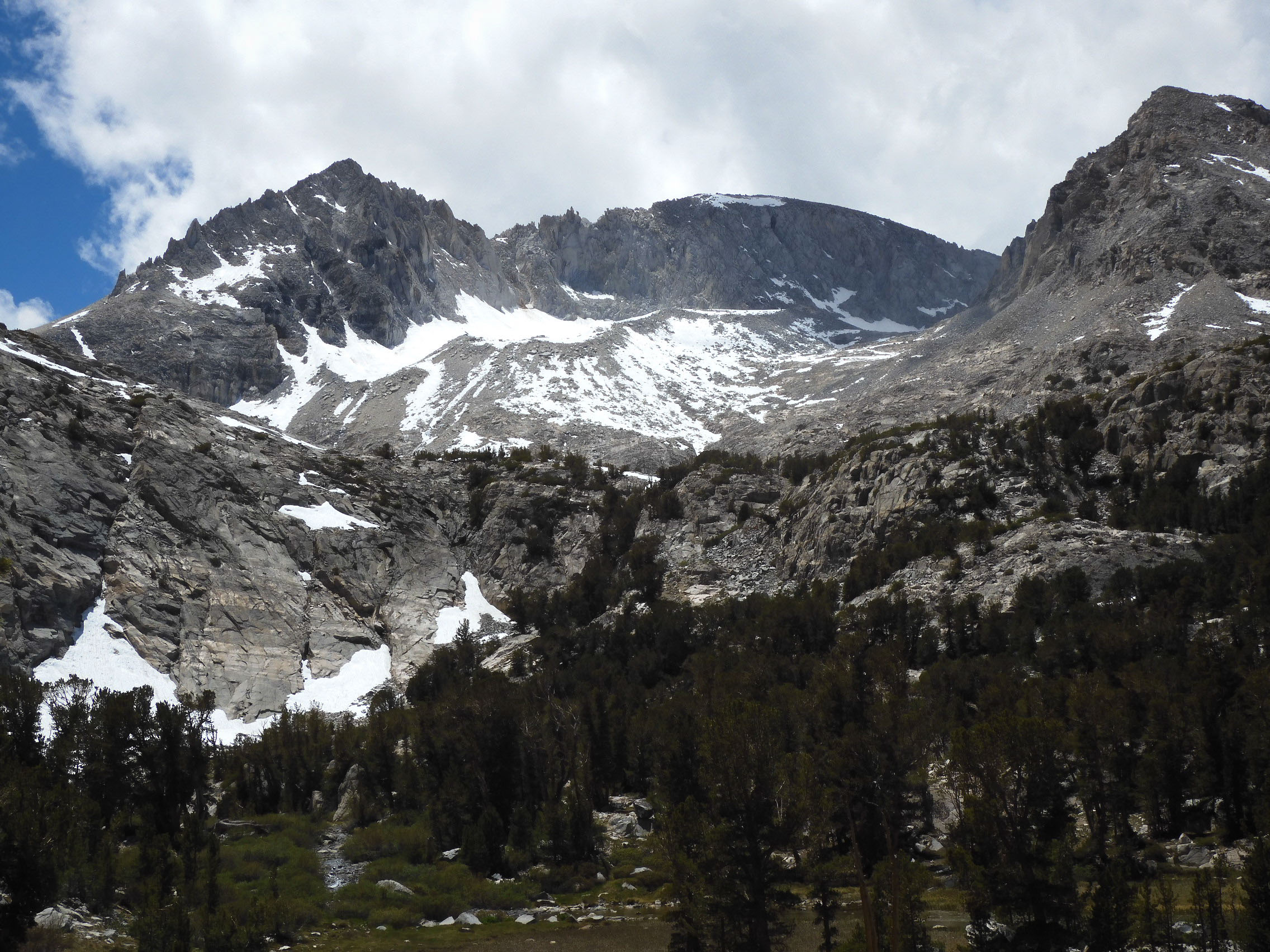
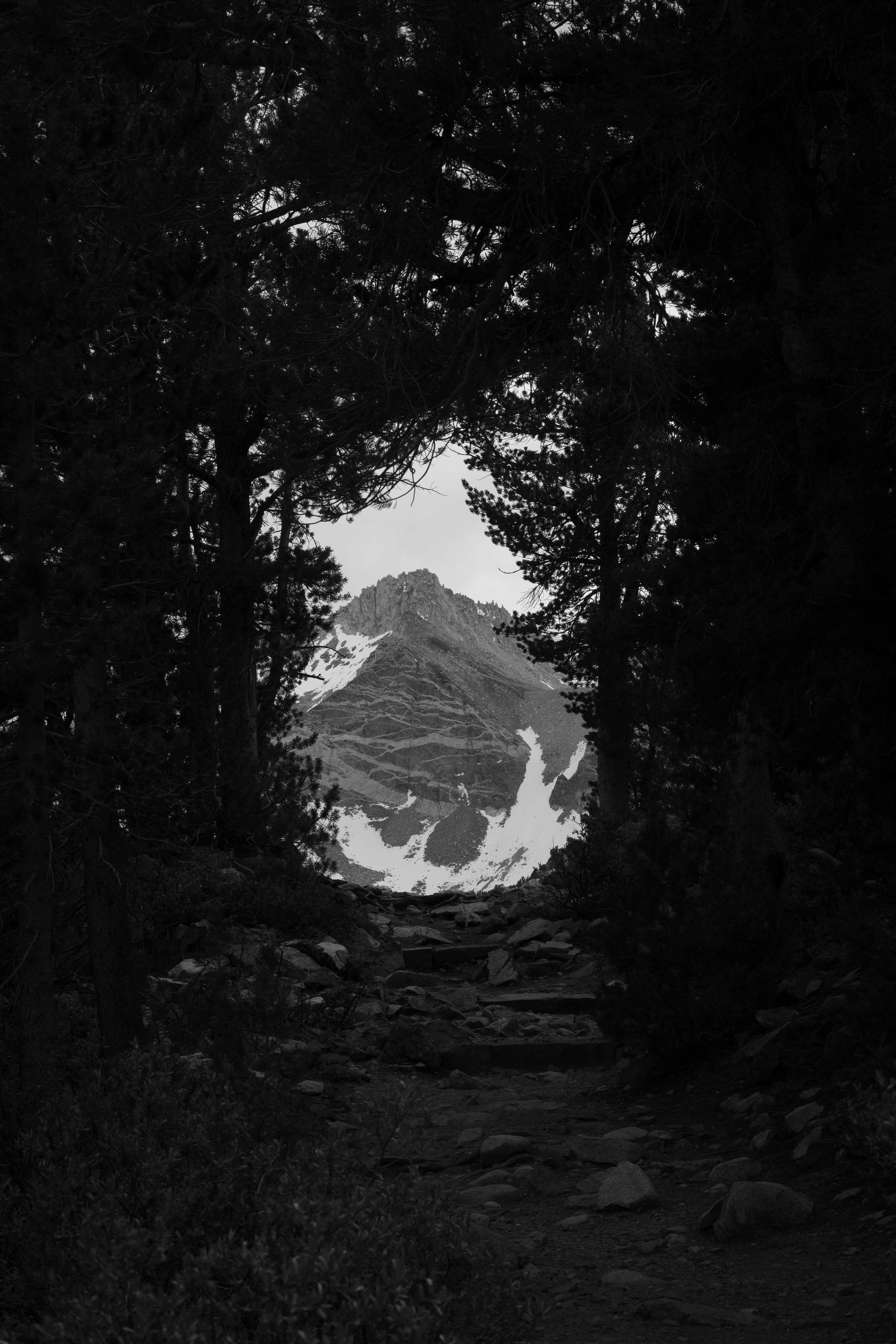
Returning to Mather, I photographed one of the mountains through the trees.
Tioga Lake--Sunday, 19 June, 2022
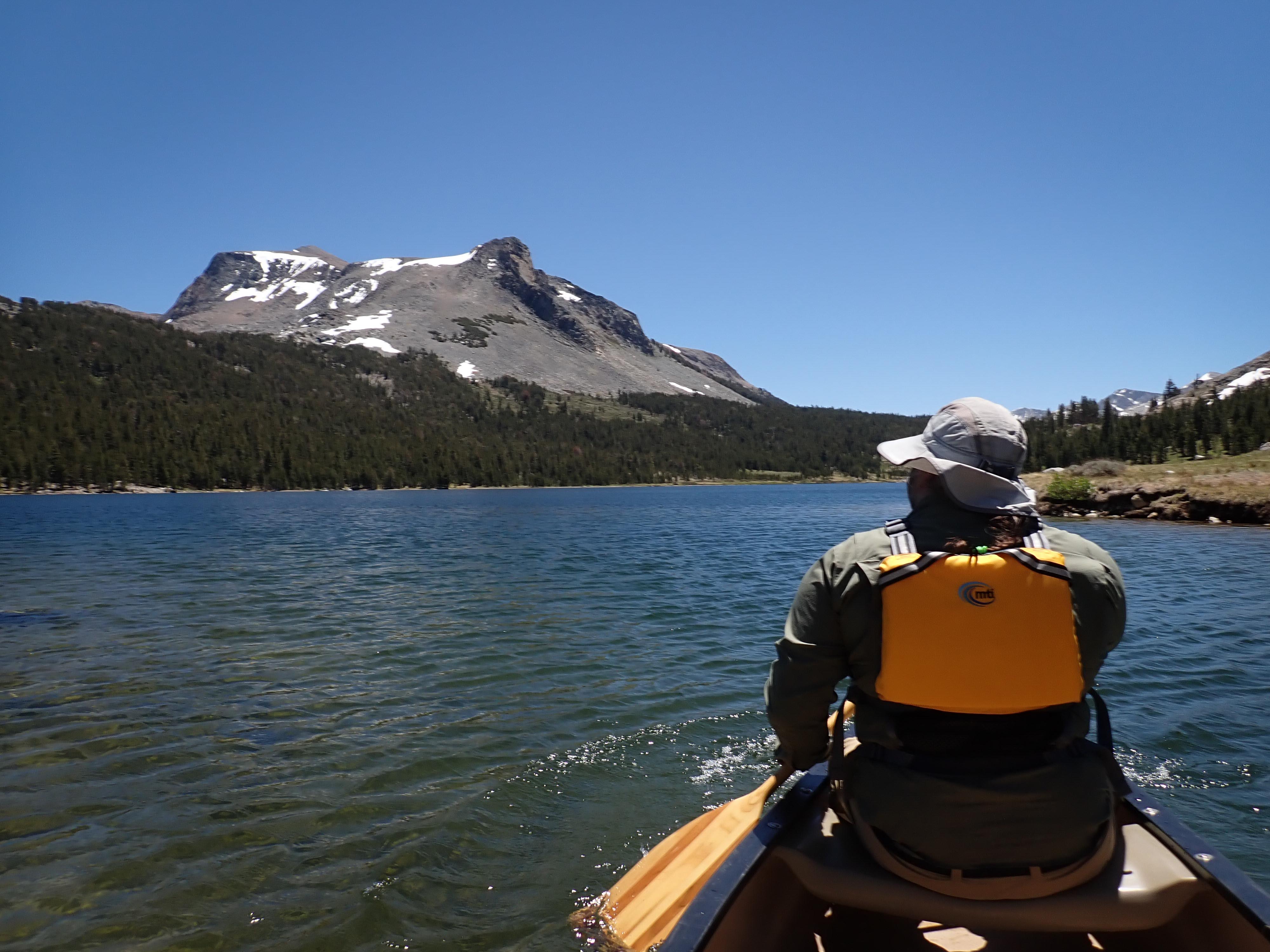
Tioga Lake, with Mt. Dana in the background. The actual peak of Mt. Dana is what looks, from this distance, like a little pimple on top on the left. The point on the right, which as far as we can tell is nameless, looks higher because it is closer.
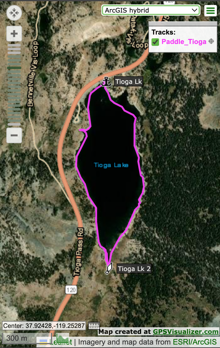
Map of our paddle on Tioga Lake.
To give our lower bodies a break before the big hike, we brought the Weeble along for a high-elevation paddle. It had been 15 or 20 years since we first had the idea of paddling the Weeble in Tenaya Lake, nestled along CA 120, surrounded by glaciated peaks near Tuolumne Meadows. But Eric noticed that Tenaya Lake was at only 2,484 m/8,150 ft, and we decided Tioga Lake, right at the foot of Mt. Dana in the Tioga Pass, was a better choice. What a beautiful way to acclimate, paddling and floating in the sun, feeling the gentle rocking of the boat as we we admired the awesome beauty of the target mountain looming directly above us! Since we had a coveted Yosemite entrance reservation, we drove out to Olmstead Point to find an earth geocache.
A disappointing training hike at Mt. Tallac in South Lake Tahoe the previous weekend led me to revise the amount of time to plan for Mt. Dana. In order to return before dark, we would need to start hiking by 5:00 am. After our lovely canoe paddle and a delicious takeout dinner of fish tacos, we went to bed at 19:00 with alarms set for 3:00.
On to Next day--the big hike.