Boulder Lakes
Sunday, 31 July, 2022
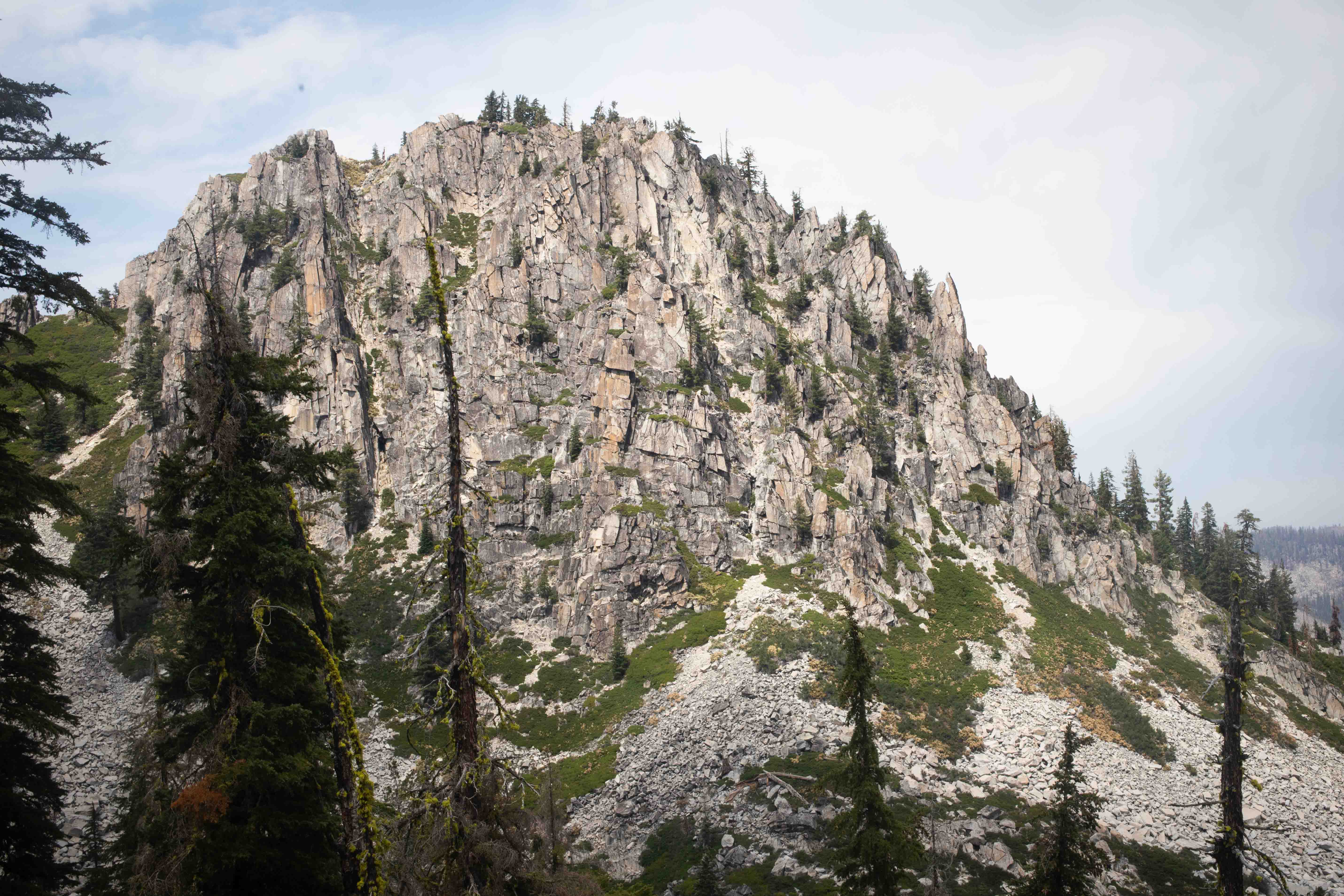
Peak 7,435/Tapie Peak.
Our efforts to preserve some time for anniversary romance led us to choose the Boulder Lakes hike, at 12.9 km/8 mi with an elevation gain of 427 m/1,400 ft (rated 3 out of 5 in difficulty by Soares, who clearly is quite a strong hiker), as opposed to the more ambitious Big Bear Lake trail, at 16 km/10 mi with an elevation gain of 853 m/2,800 ft (rated 4 out of 5 in difficulty by Soares). The Boulder Lakes hike also went up to an elevation of 2,137 m/7,010 ft, which I found more exciting than the 1,783 m/5,850 ft of the Big Bear Lakes trail. But, based on experience, I judged that, in order to be sure we had enough time even for the easier hike, it would be best not to sleep later than 05:00.
Navigating, in the absence of signal, by directions from Soares' paper book and a dedicated GPS unit named Lulu, I piloted Mather 17.7 km/11 mi up a dirt road that was mostly smooth until a series of rough bumps near the top. The road was clearly navigable in a Civic, as we saw at the trailhead that someone had made it up there in a Toyota Siena with a long bike rack on the back, but it was much nicer to have Mather and his AWD. There were three other vehicles in the parking lot besides the Siena. We managed to set off on the trailhead at 08:20.
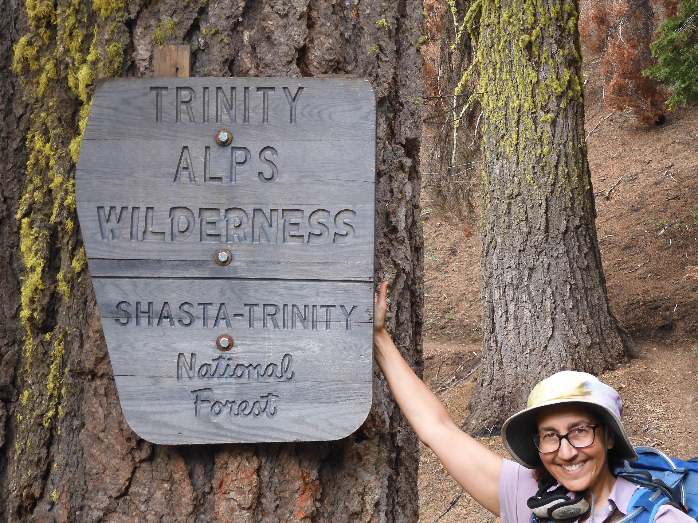
We walked a short way along a fire road before the trail narrowed at the wilderness boundary, where Eric took my picture with the sign.
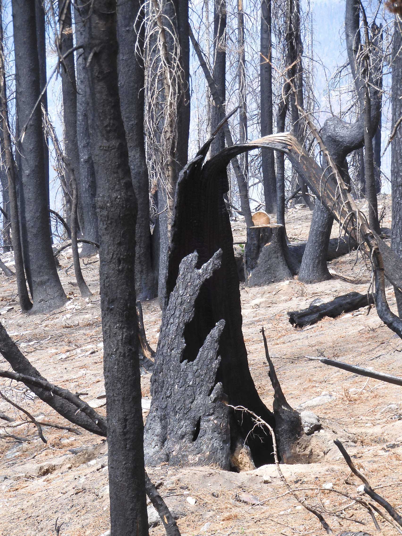
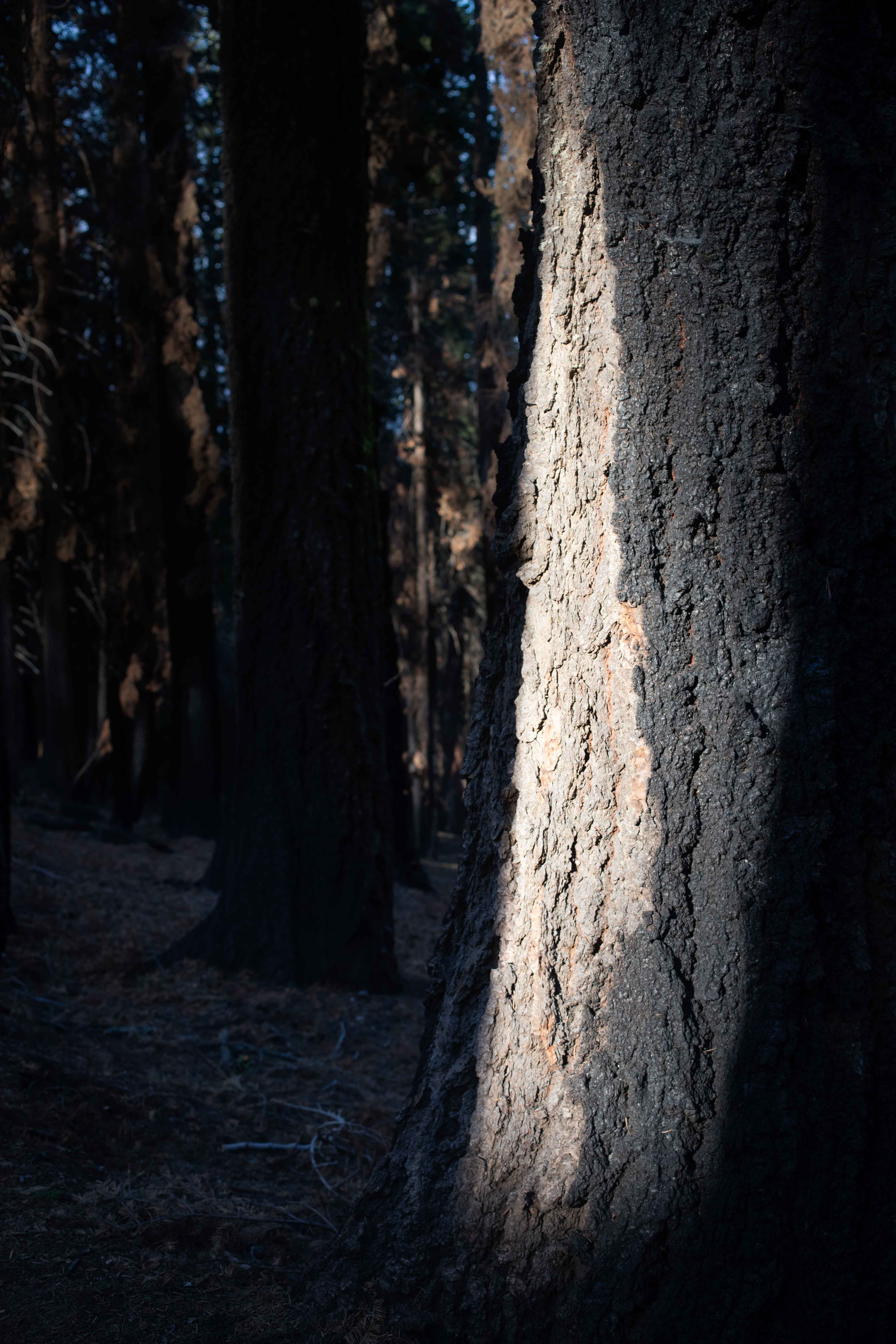
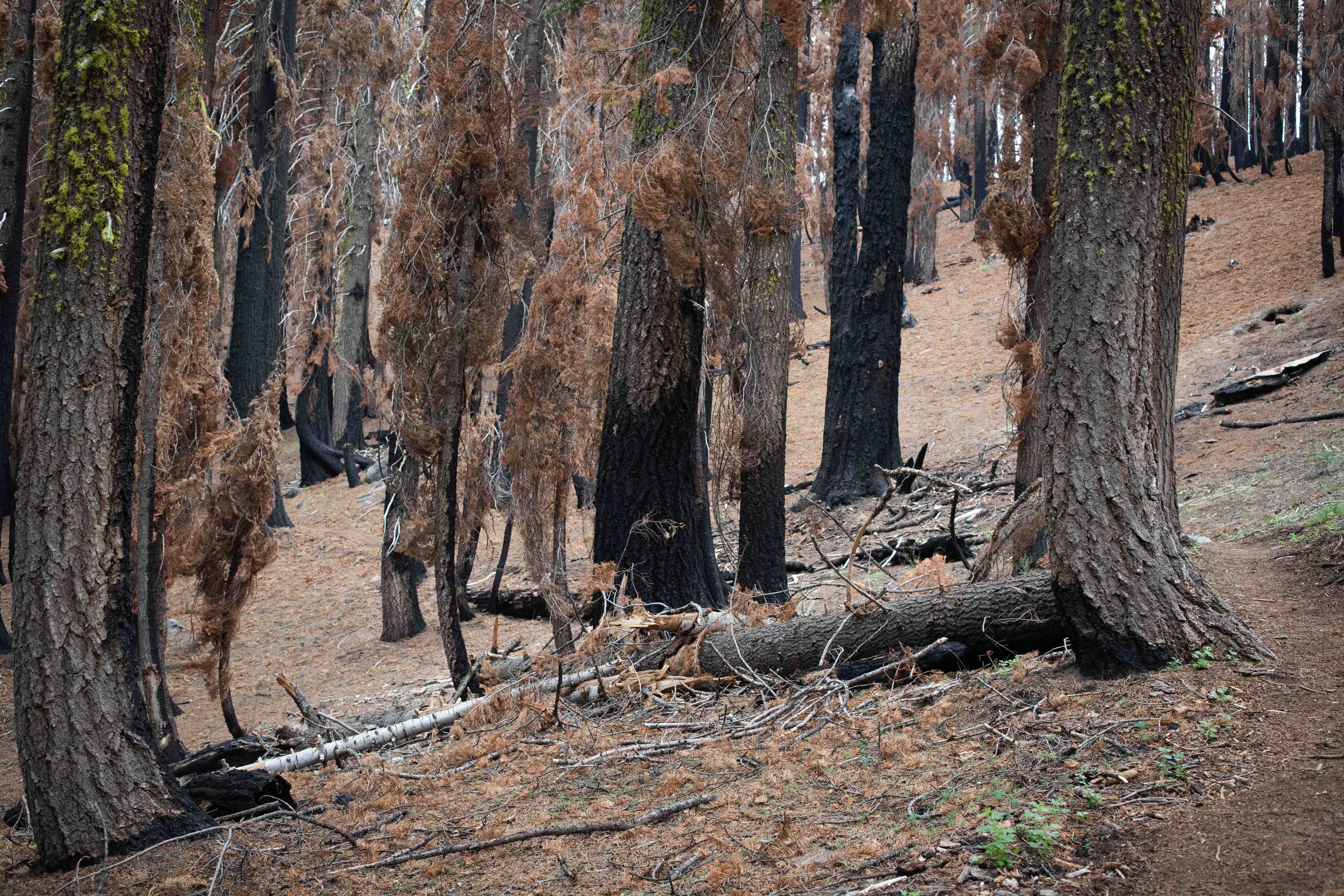
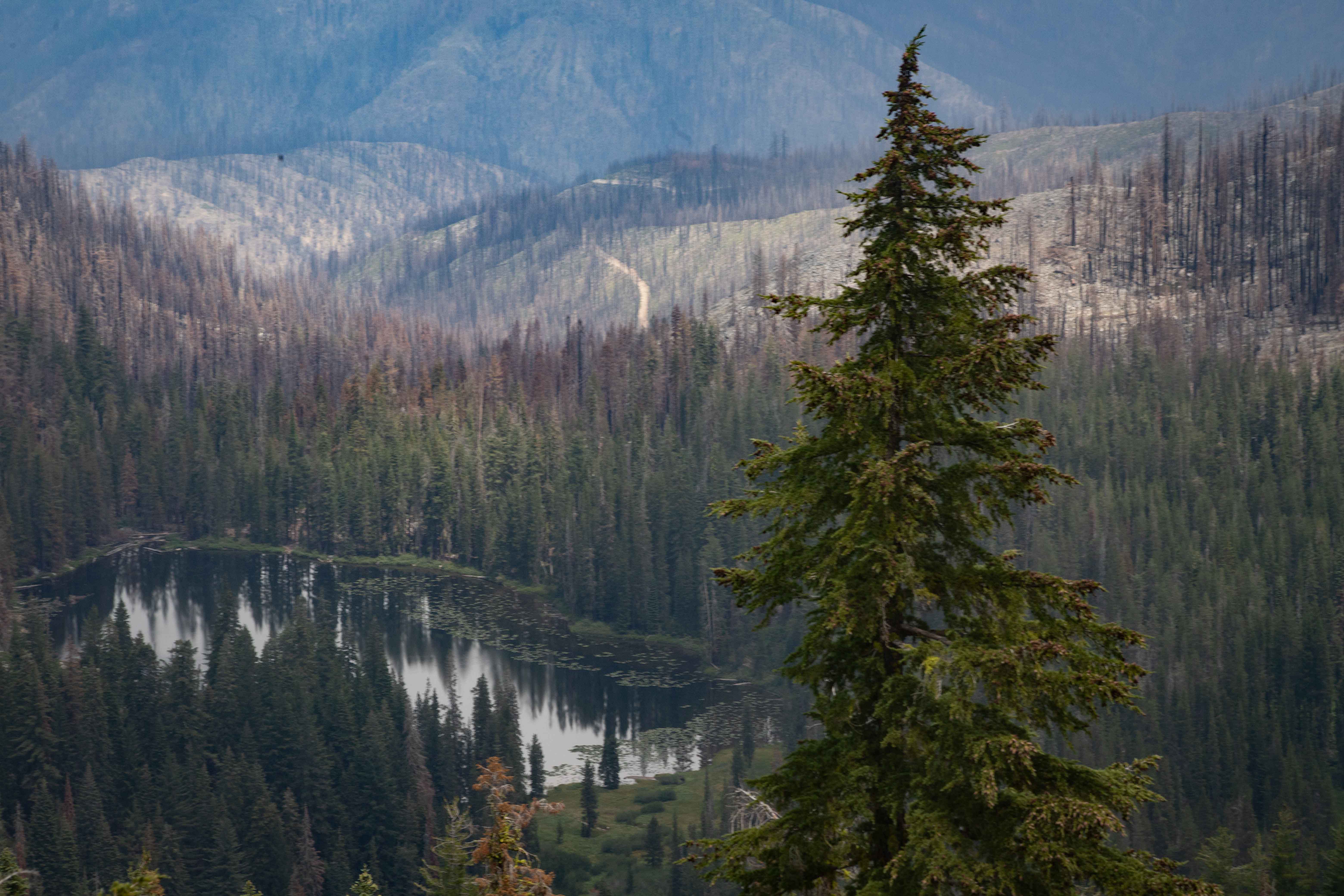
The lower part of the trail had been damaged by fire recently. Eric photographed some of the burned trees.
Sometimes the fire had licked only one side of a tree.
Sometimes you could see the path the fire had taken though the forest.
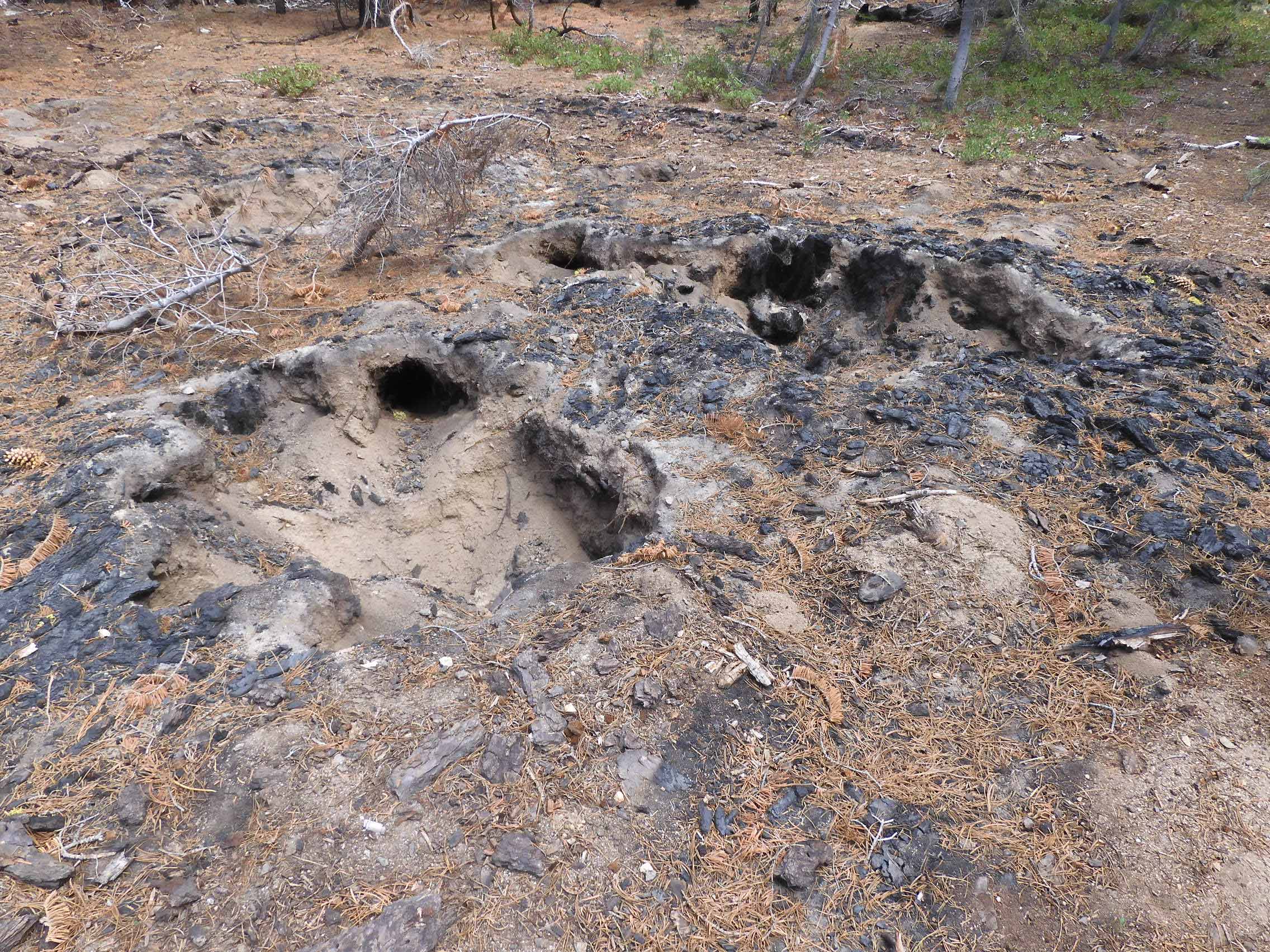
We saw many of these sad, empty holes where the fire had entirely consumed large trees that had probably survived for centuries. Photo by Eric.
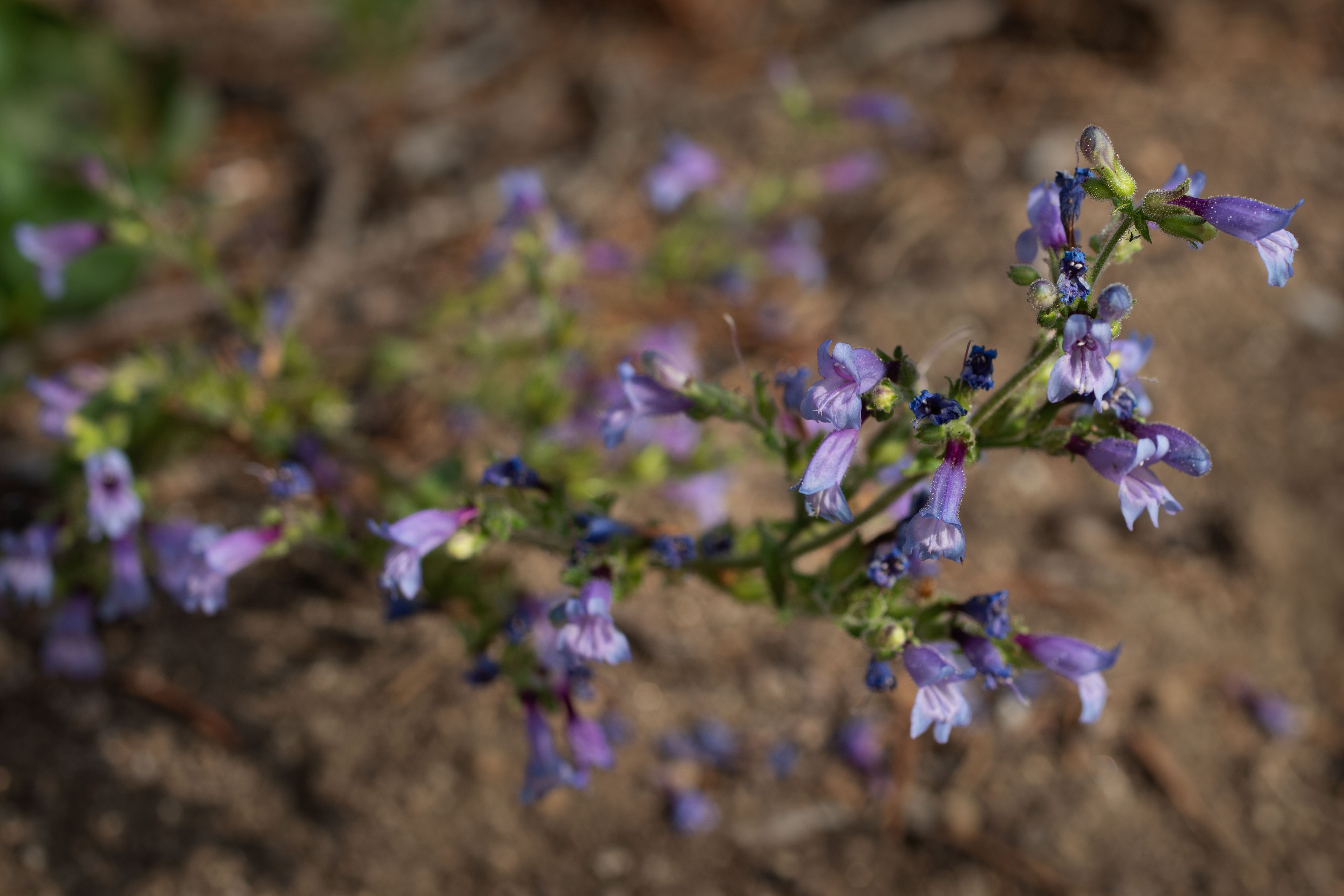
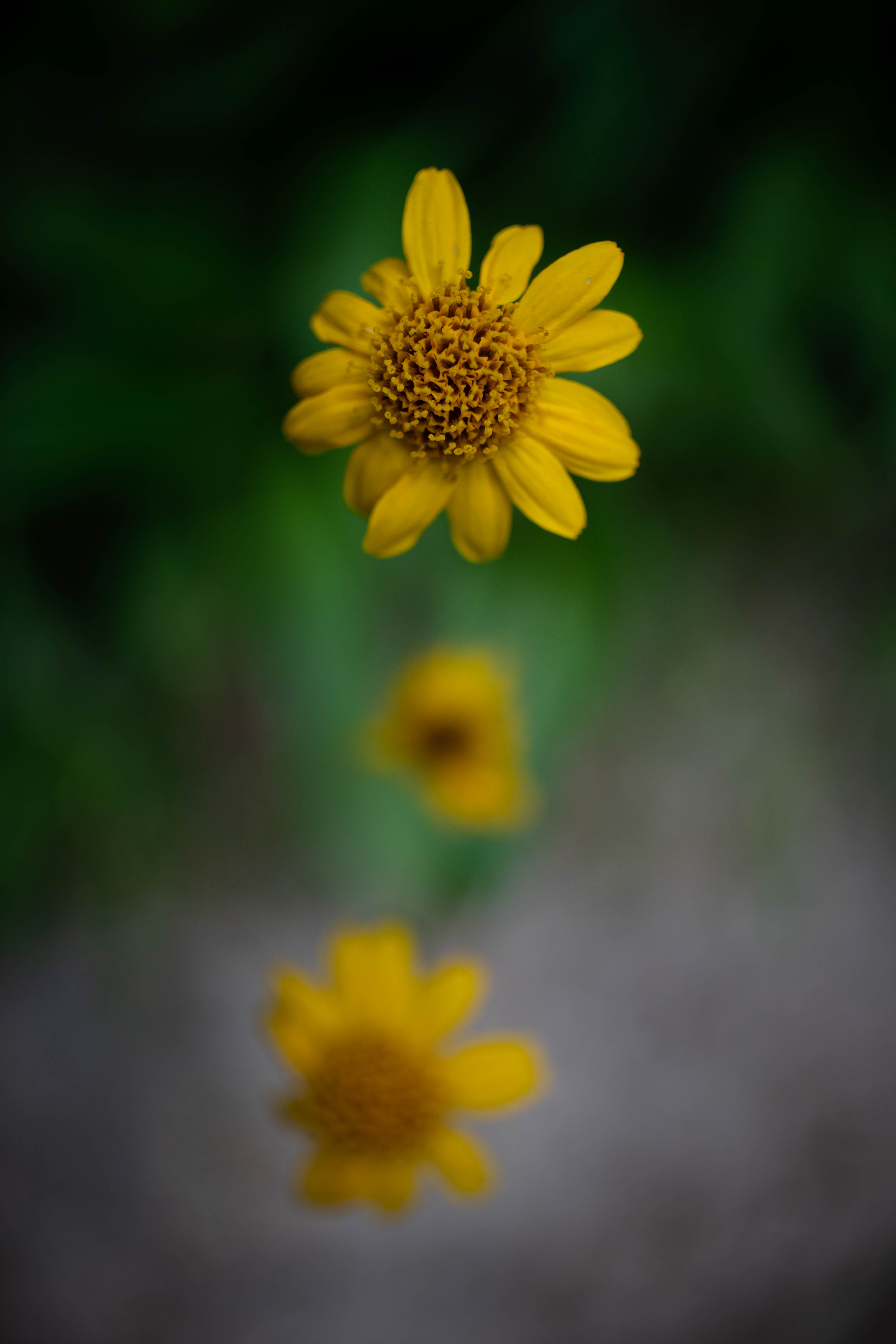
We came to an area with more ground vegetation, and started to see a variety of wildflowers. This one is called Beardtongues.
Unidentified wildflower.
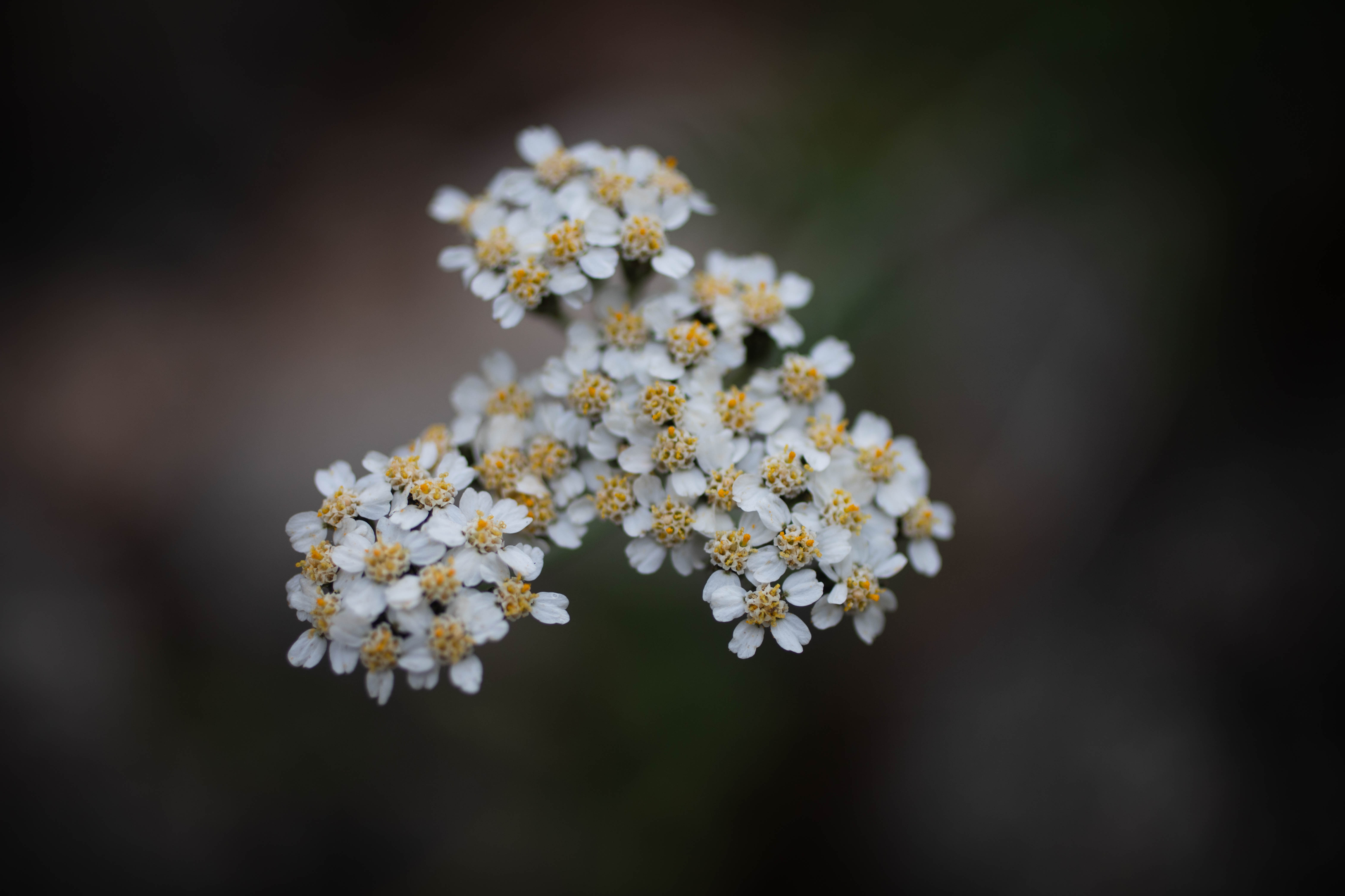
I think this is Yarrow.
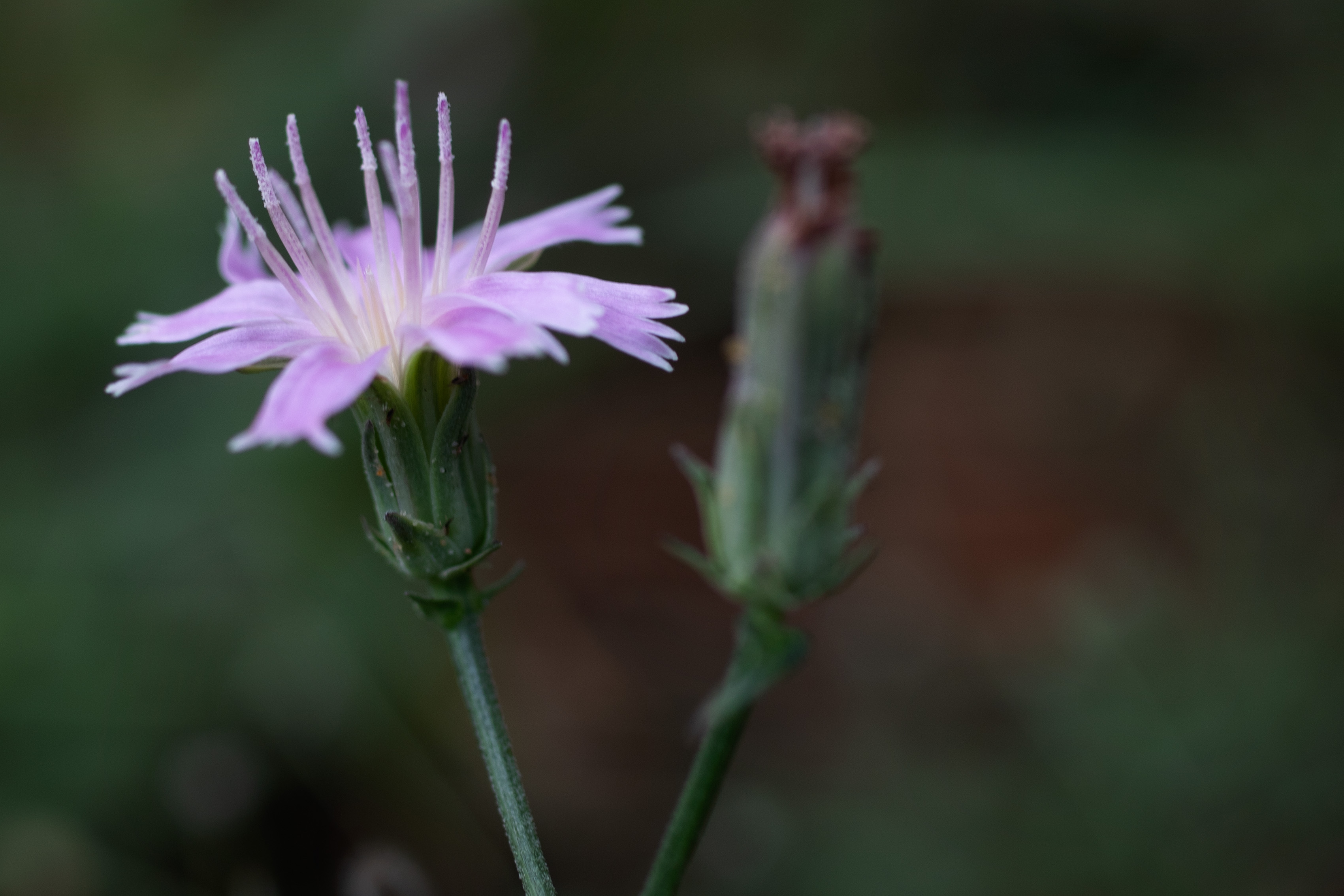
Unidentified wildflower.
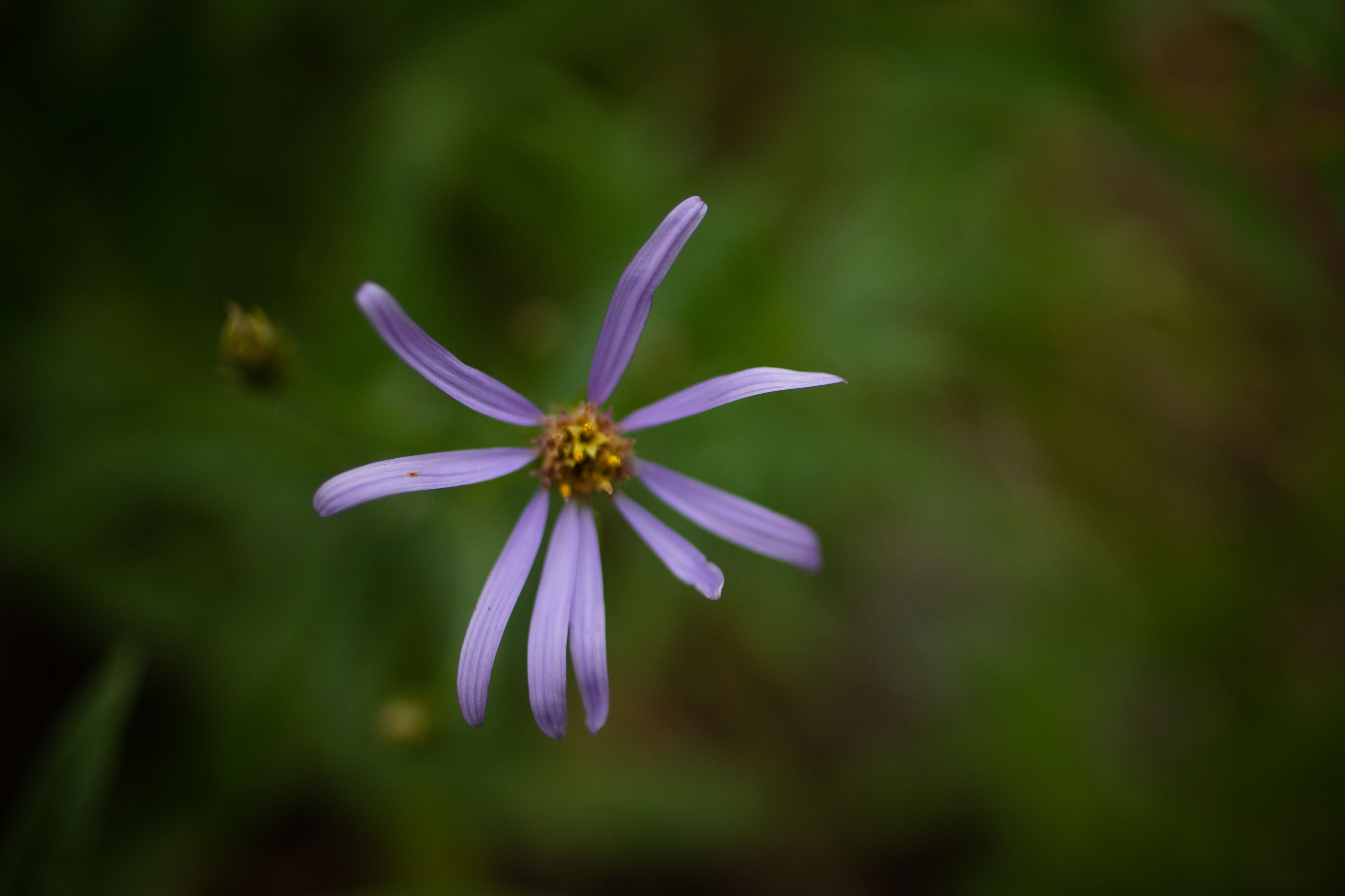
Unidentified wildflower.
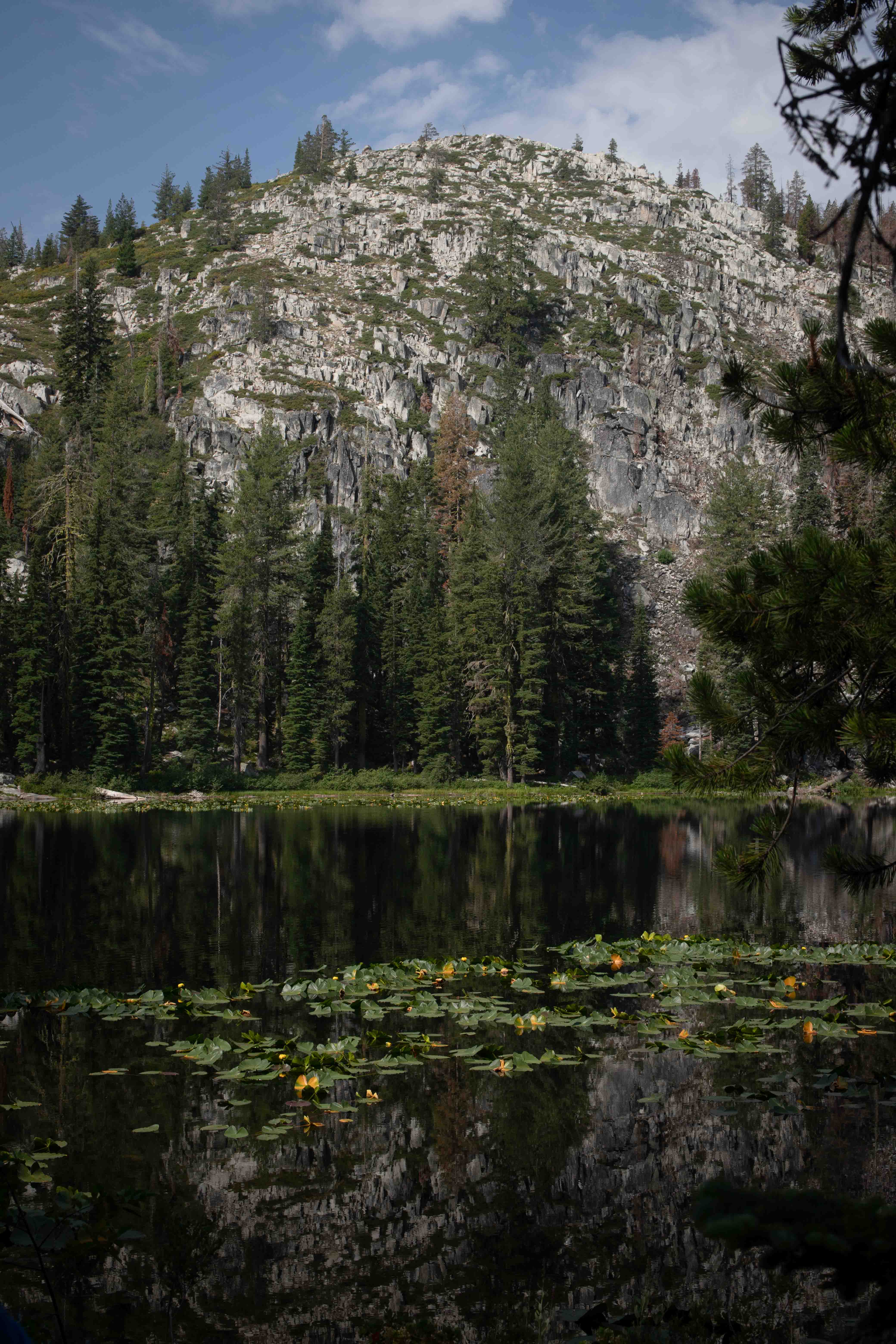
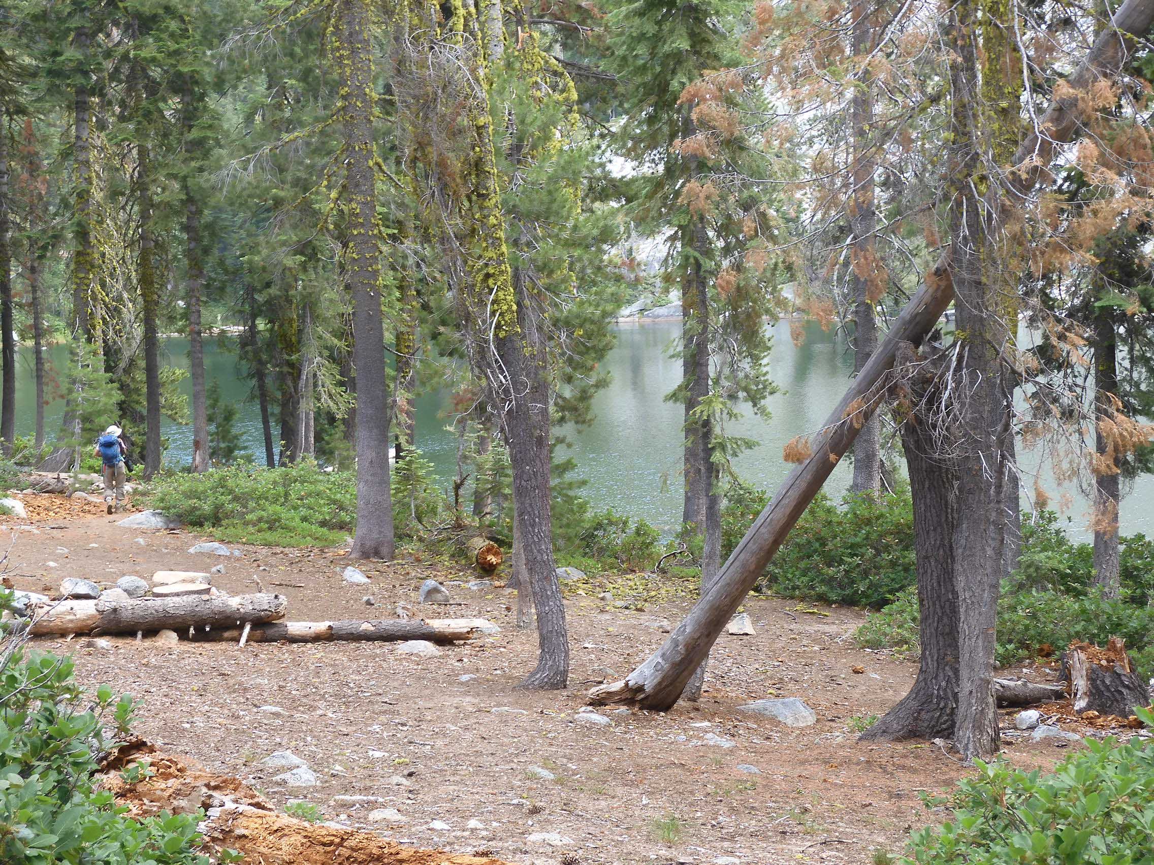
We descended to the lovely reflections of Boulder Lake.
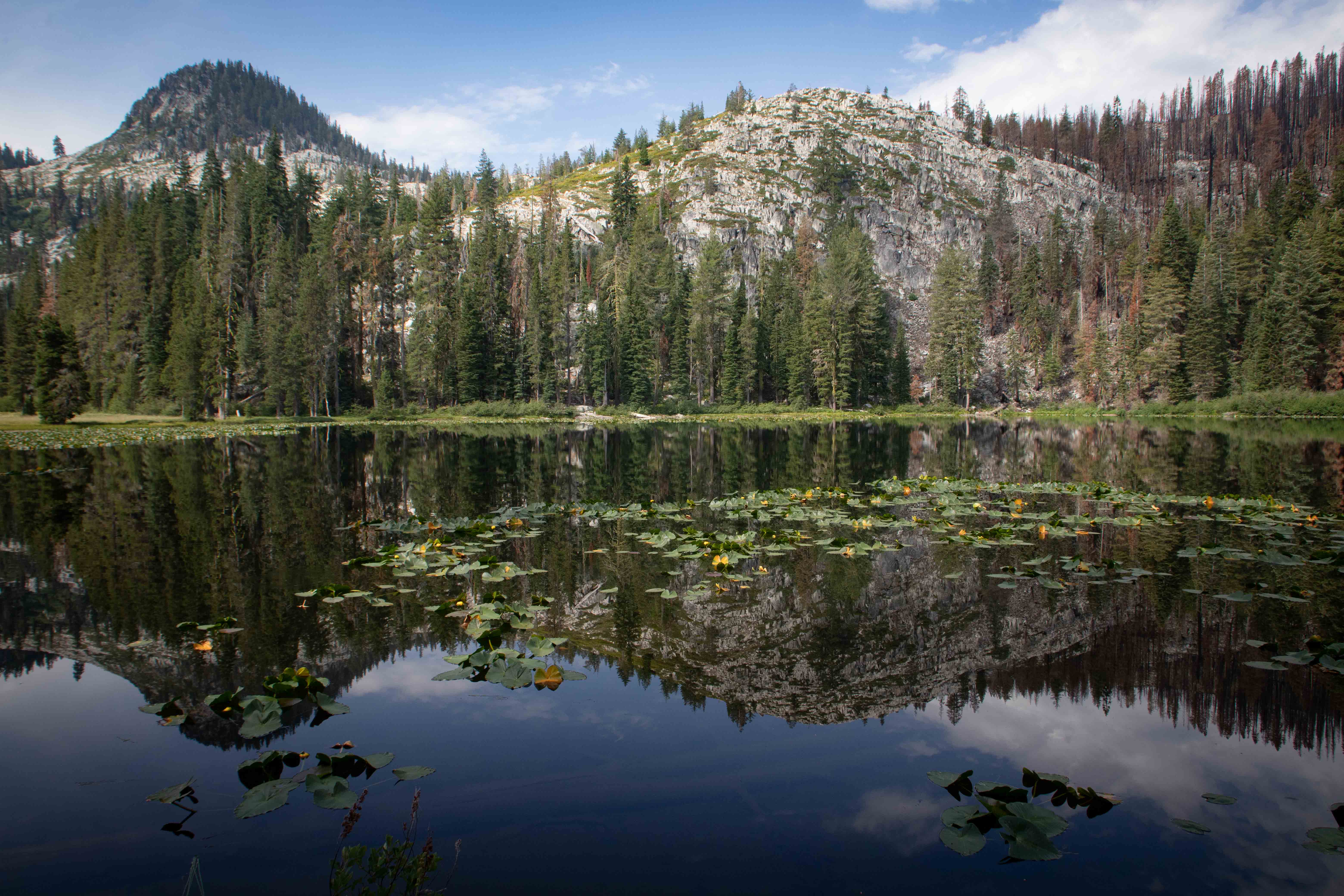
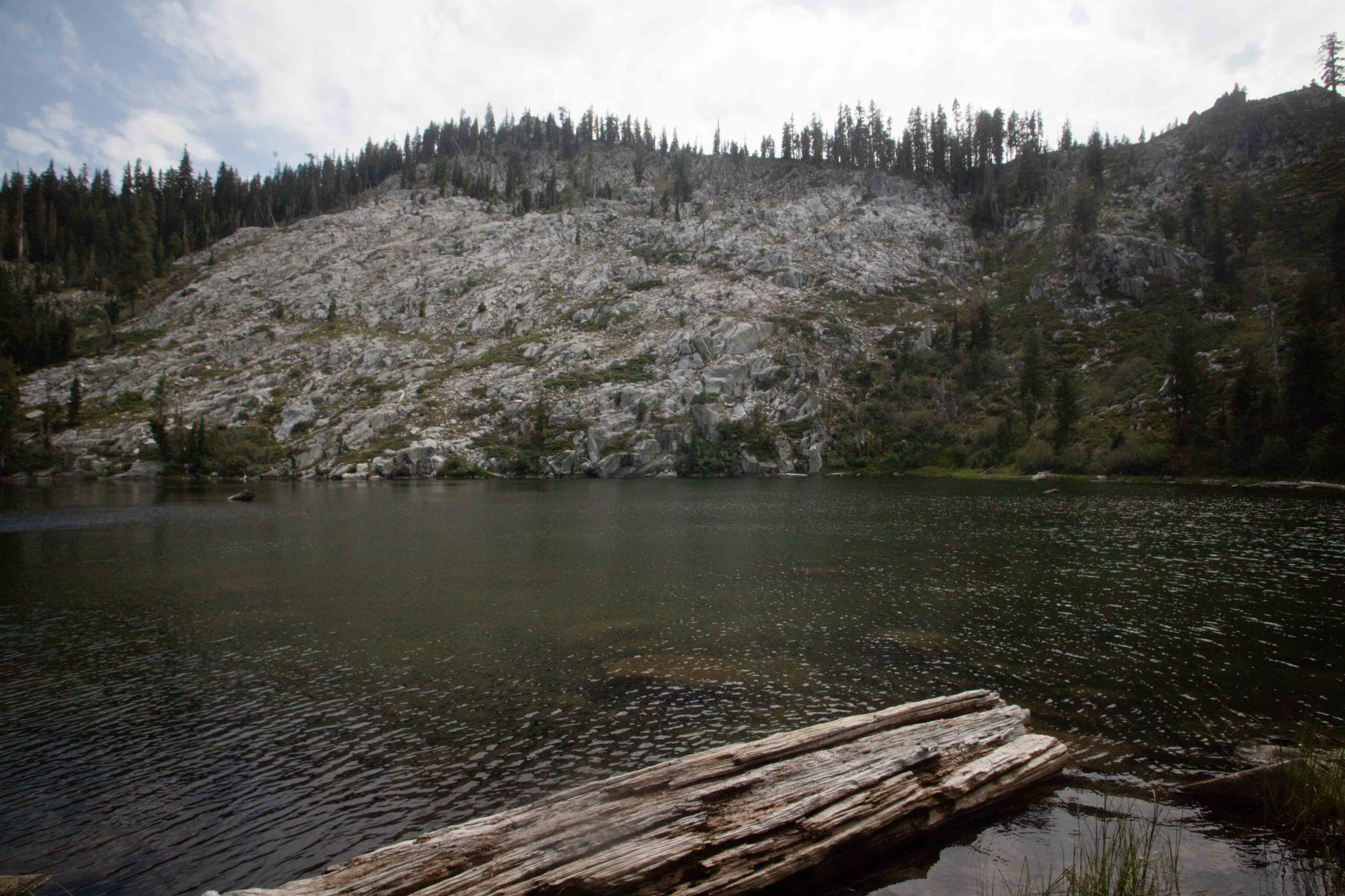
Granite rose dramatically above the lily pads.
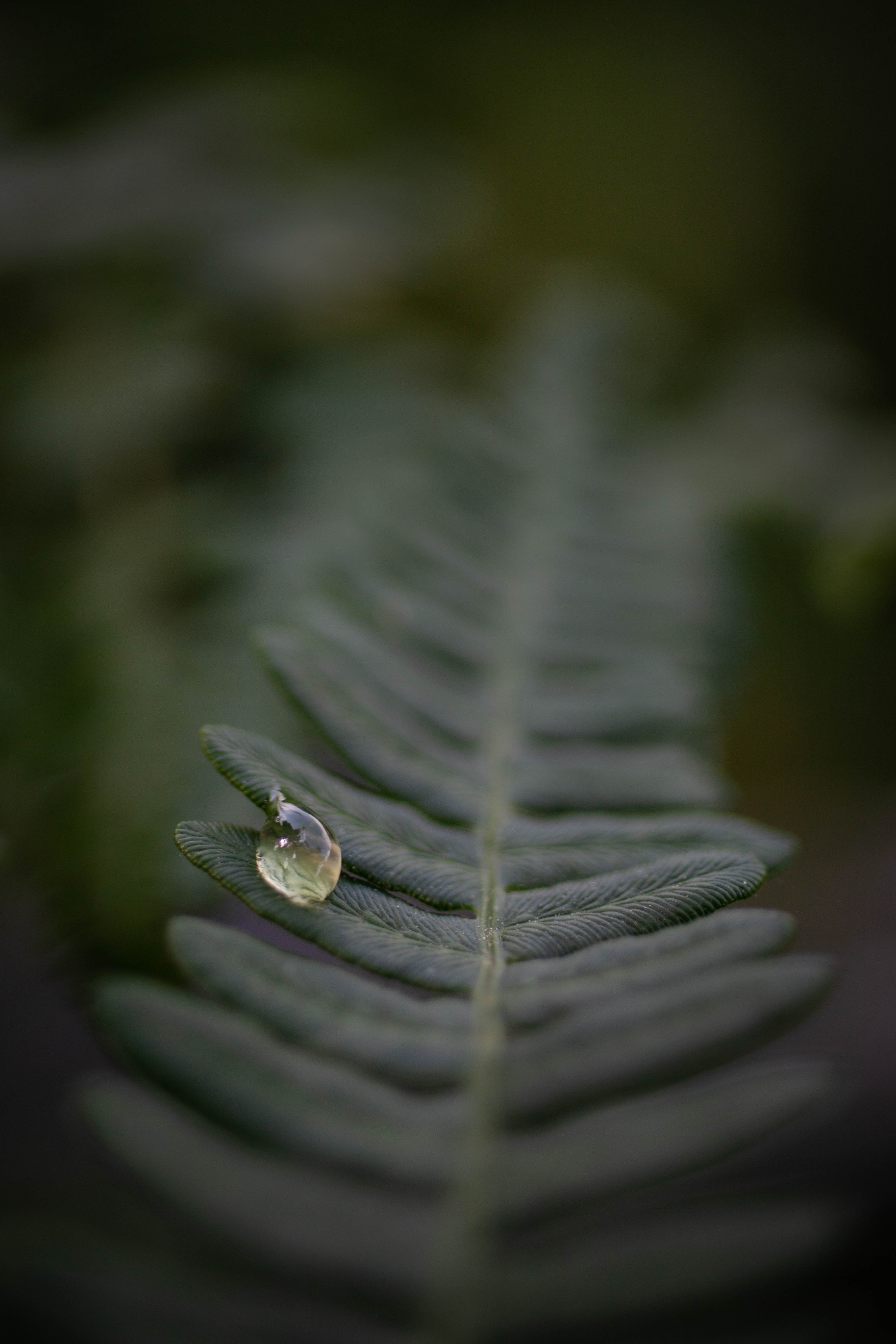
The lakeshore was lush with ferns, and I found a beautiful dew drop.
There were two people camping together on the far side of Boulder Lake, with tents and a hammock strung between two trees. These were the only people we had seen so far all day.
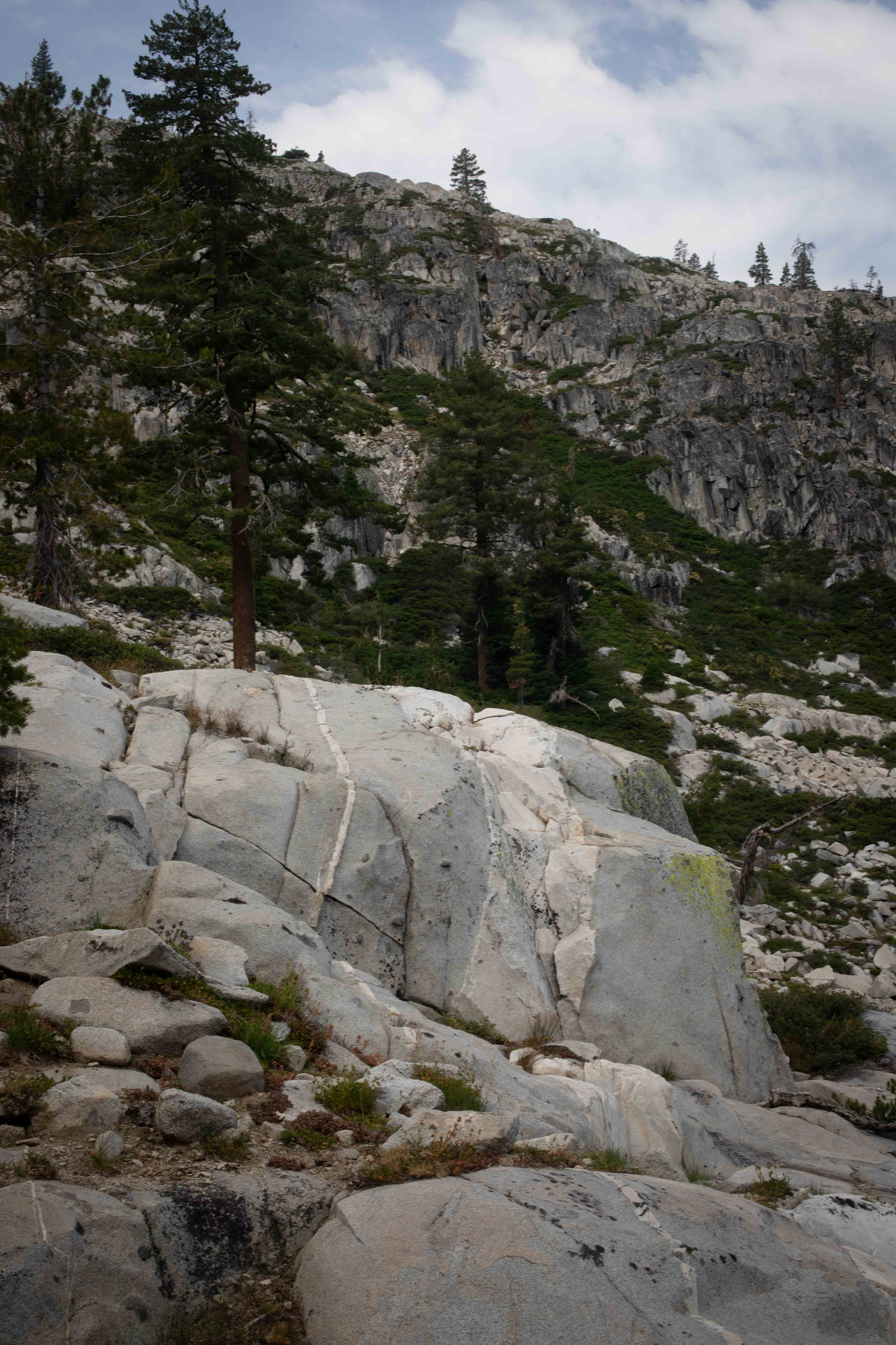
We climbed steeply through a granite valley definitely resembling the western Sierra. We could feel the altitude, making it more difficult to breathe.
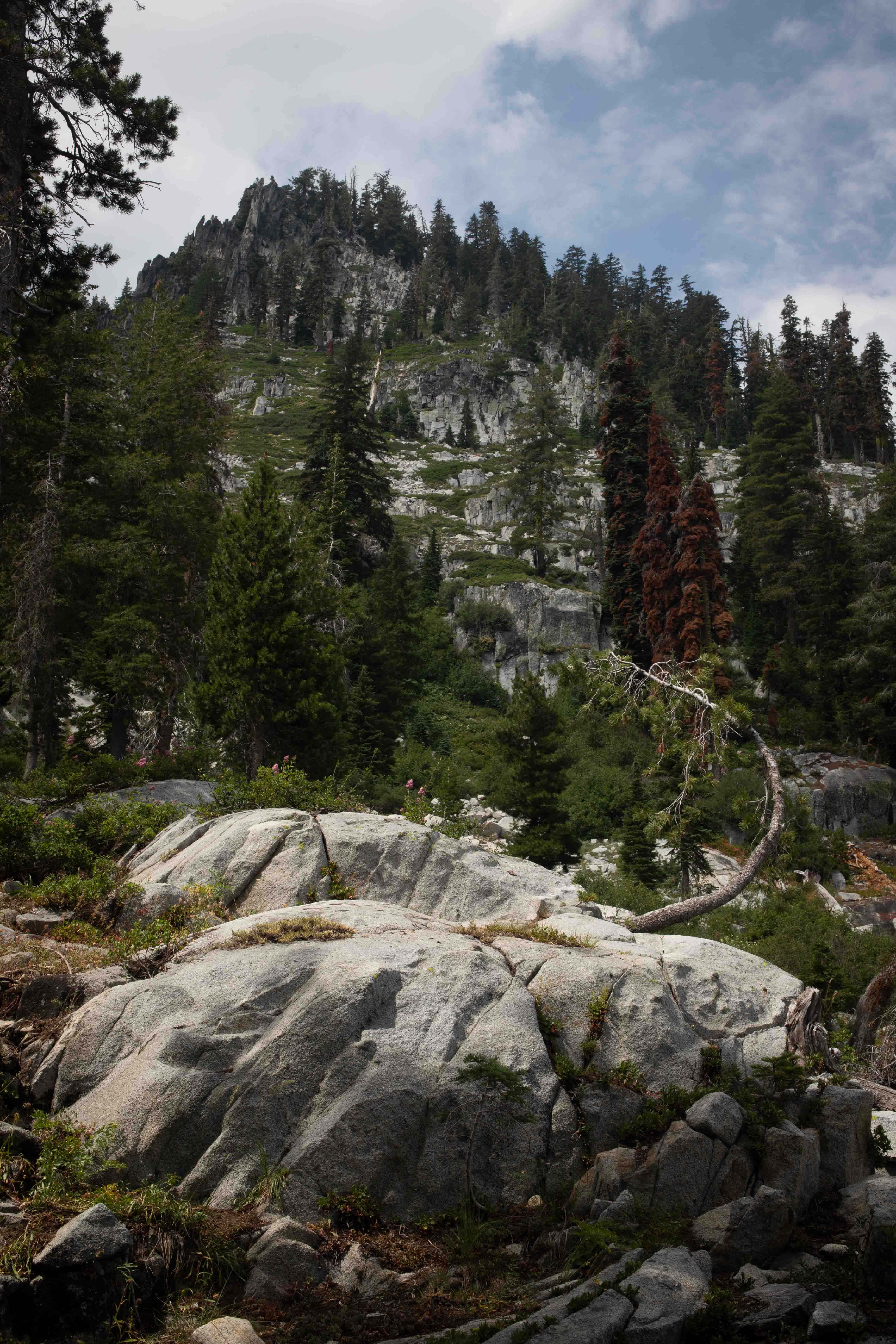
A glacier-carved peak, prosaically named "Peak 7435" by the Forest Service, rose in the distance. summitpost.org calls it Tapie Peak.
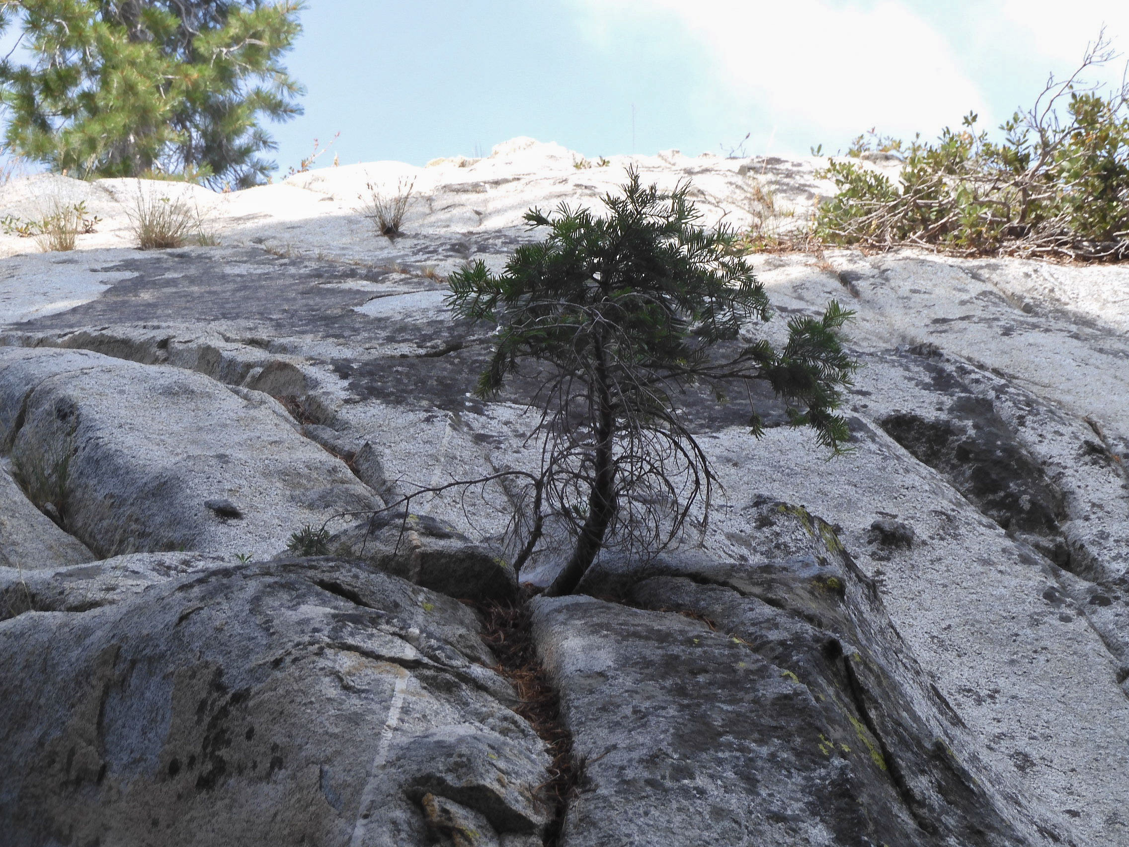
Eric photographed this tree rooting in the rock.
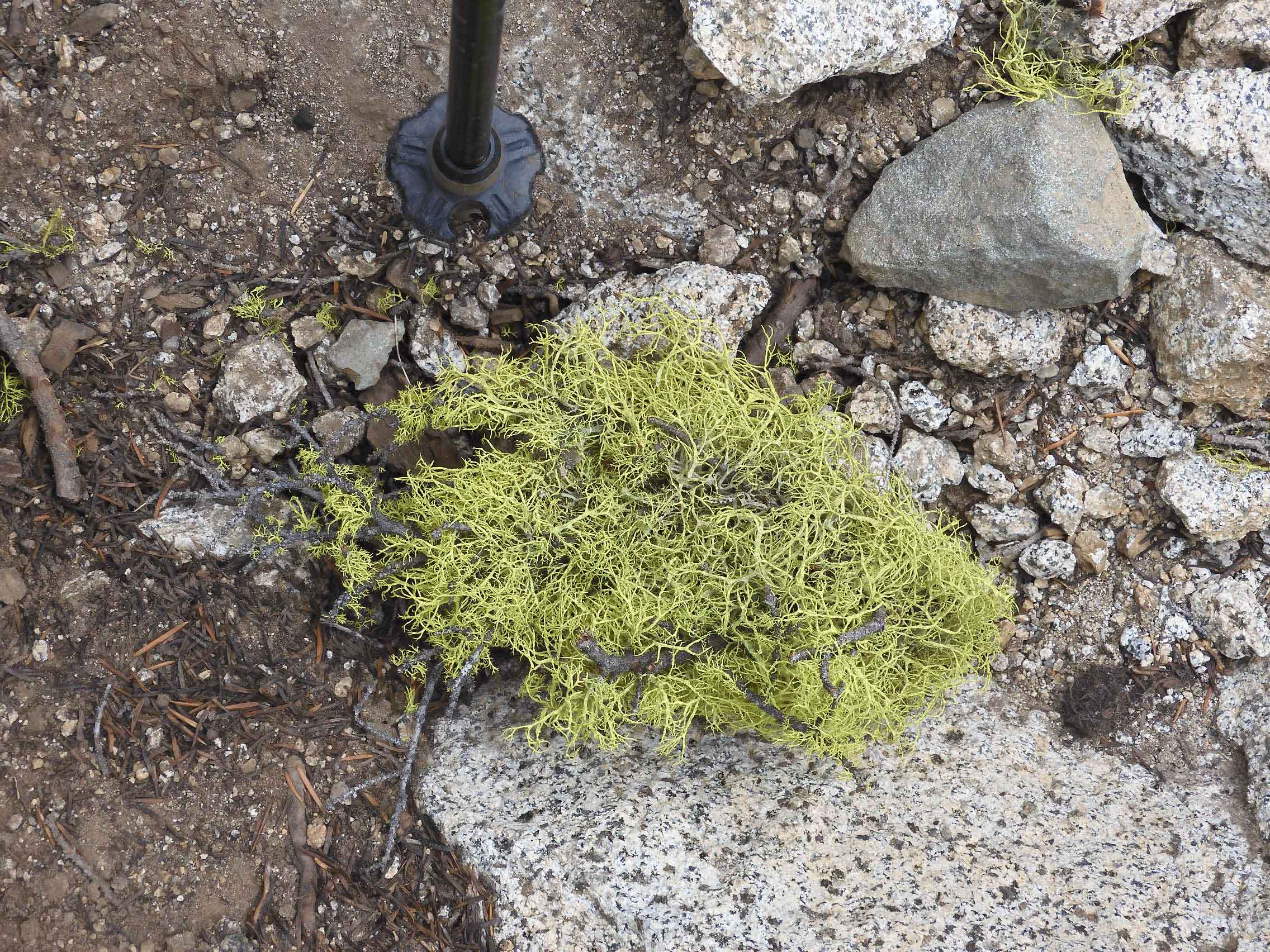
Eric found a large clump of Brown-eyed Wolf Lichen on the path, and included the tip of his pole in the photo for scale.
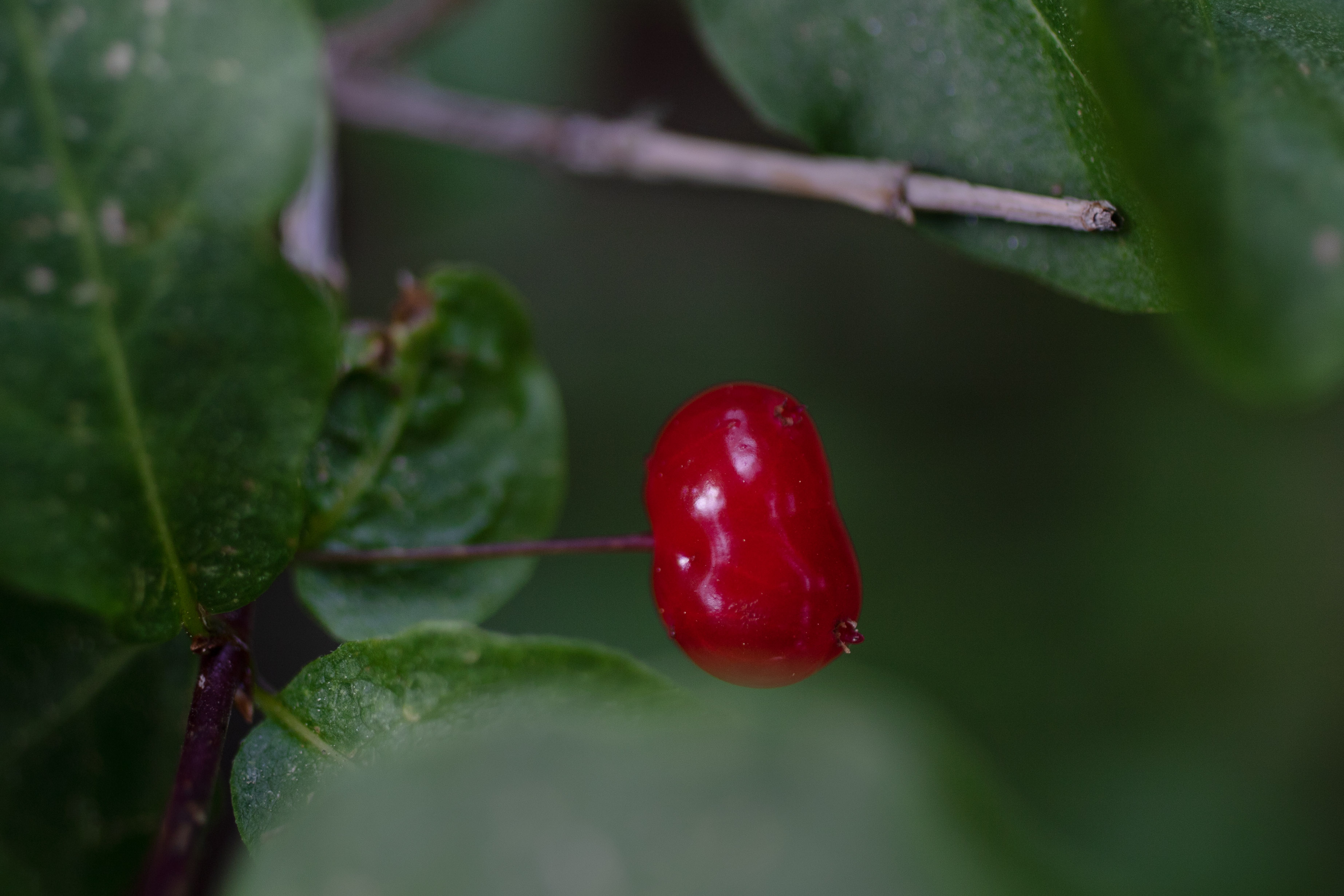
I found this red berry, looking so much like a jelly bean, but the likely reason the area was less prosaically named "Poison Canyon."
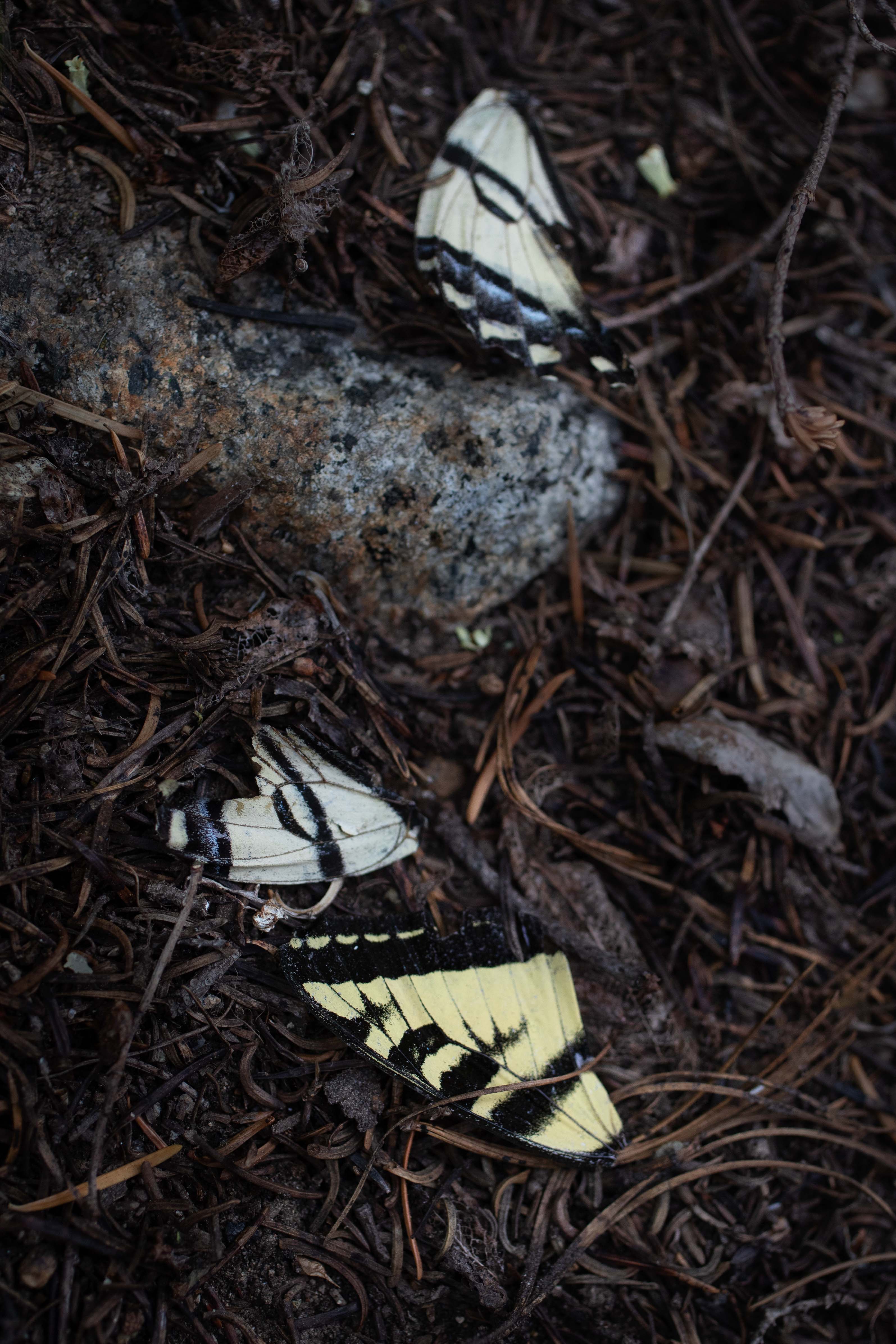
I found this sad, broken butterfly.
We climbed very steeply for quite some time, trudging up terrain that thankfully was not as difficult as the scree on Mt. Dana. We crossed a creek, and dipped our hats into the cold water to help us continue in the heat.
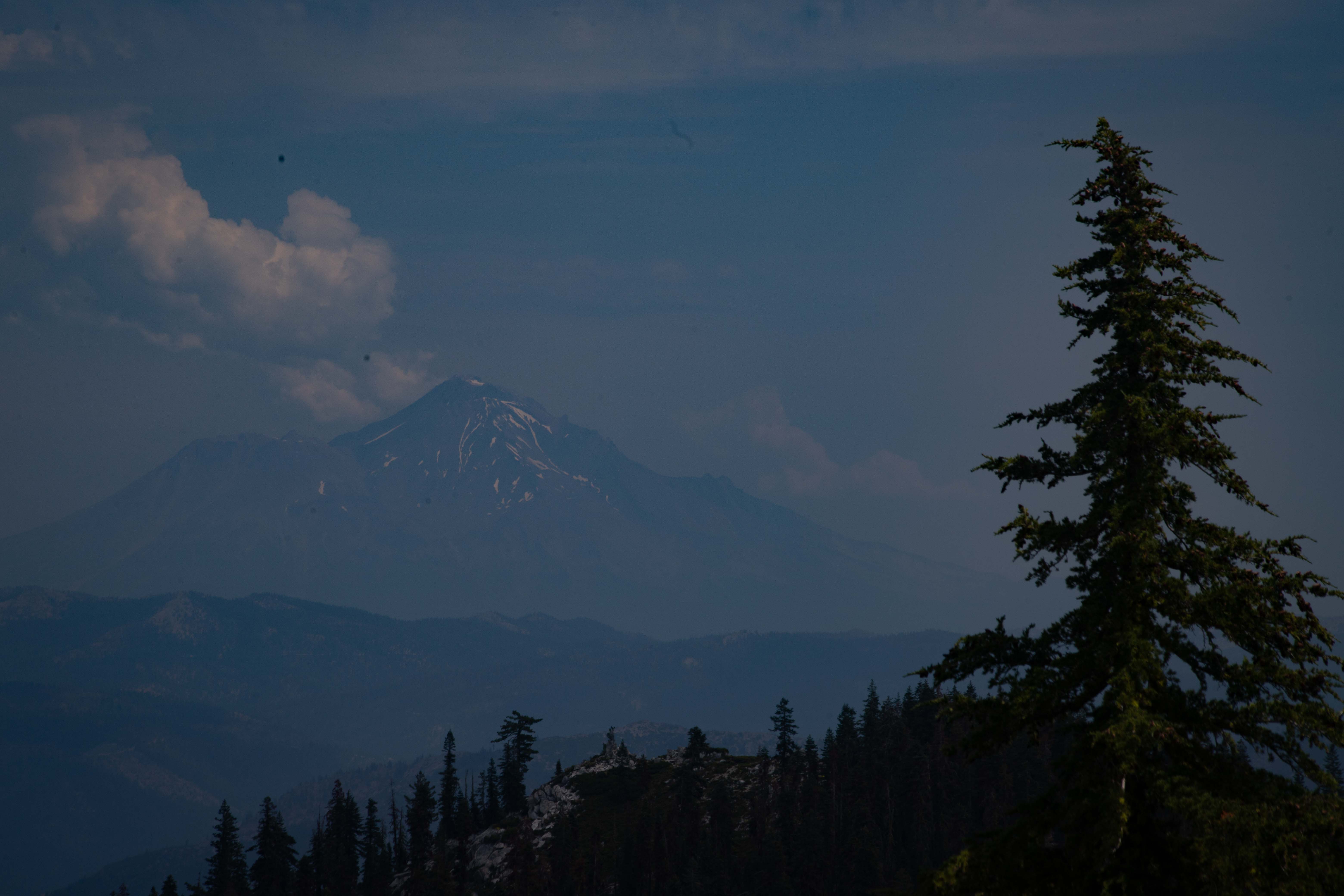
At last, we reached the promised view of Mt. Shasta, hazy in the distance.
We gazed down at Boulder Lake, far below... and behind, the ribbon of road that we'd driven to get to the trailhead.
As high as we had climbed, we still looked up at the top of Peak 7435/Tapie Peak, which not coincidentally is 2,266 m/7,435 ft tall.
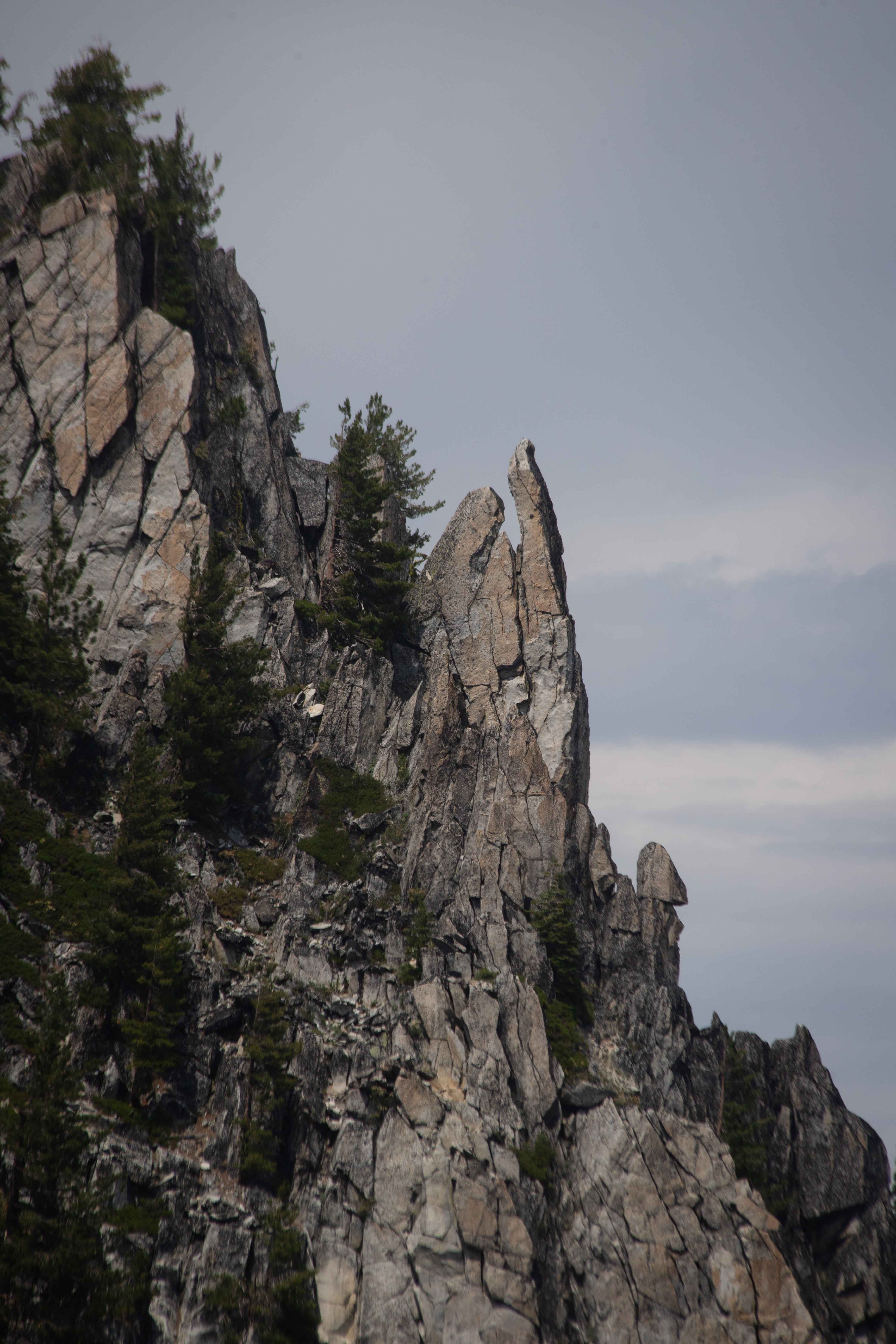
We were fascinated by an odd glacial carving on the side of Peak 7435/Tapie Peak.
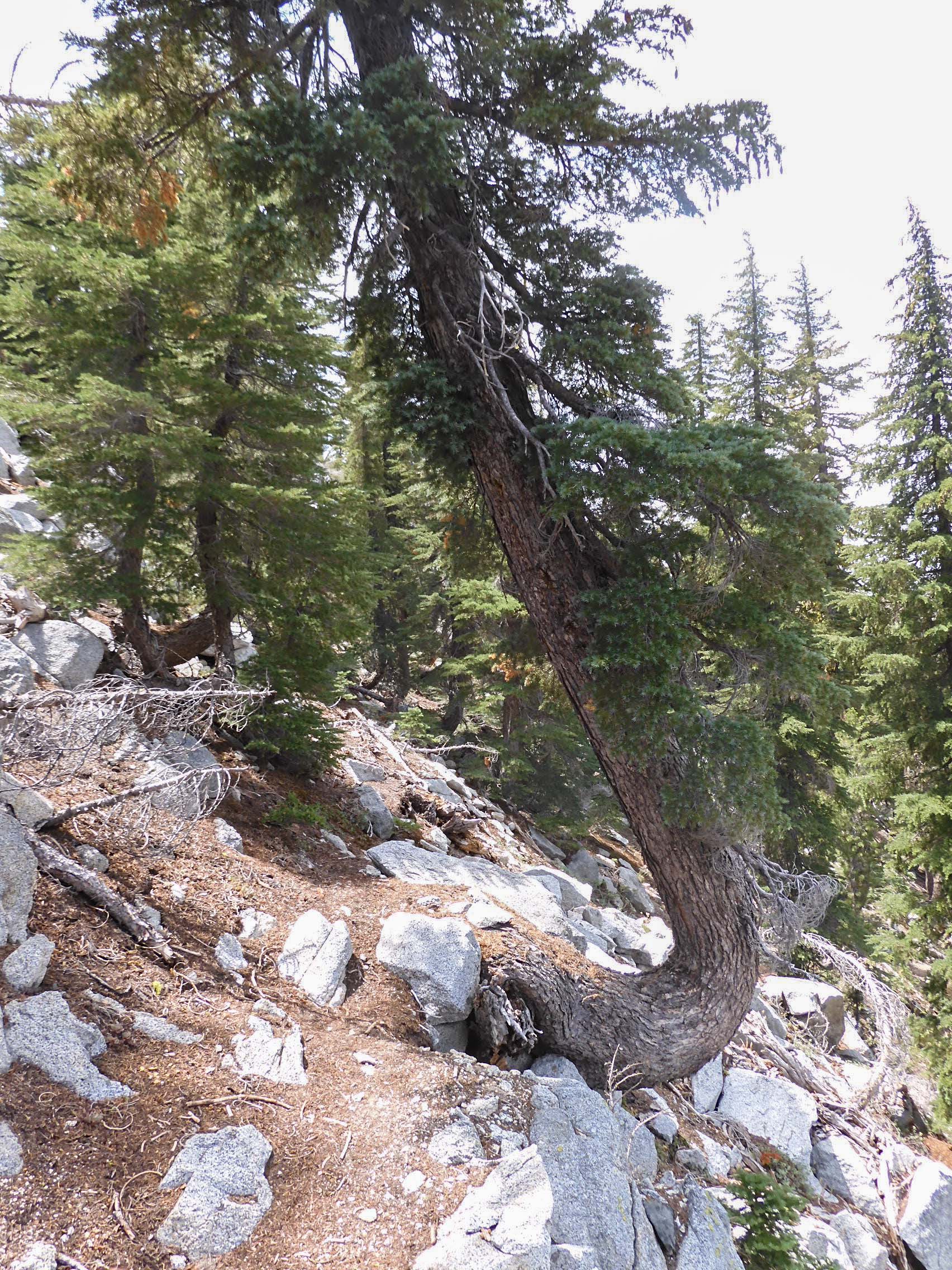
Eric photographed a fairly extreme example of pistol-butting, where a tree grows in an oddly bent position as the ground bearing its roots wastes away down a hill. Yosemite Geologist Greg Stock had told us that wherever humans try to subdue the side of a hill to their will by flattening it into a road or trail, the hill will eventually resettle into its preferred inclination. Stock had been indicating precipitous CA 120 through the Tioga Pass.
We returned via the steep trail, but Soares had one more treat in store for us--a side trail out to Little Boulder Lake. After so much hiking, Eric was flagging under the heat and with the pain of his boots by the time we reached the turnoff, and would have preferred to return directly to Mather. I knew the beauty and coolness of lake would revive him, but the 1 km/.6 mi climb up and down to the lake was quite the slog.
We were excited and relieved when we finally reached Little Boulder Lake.
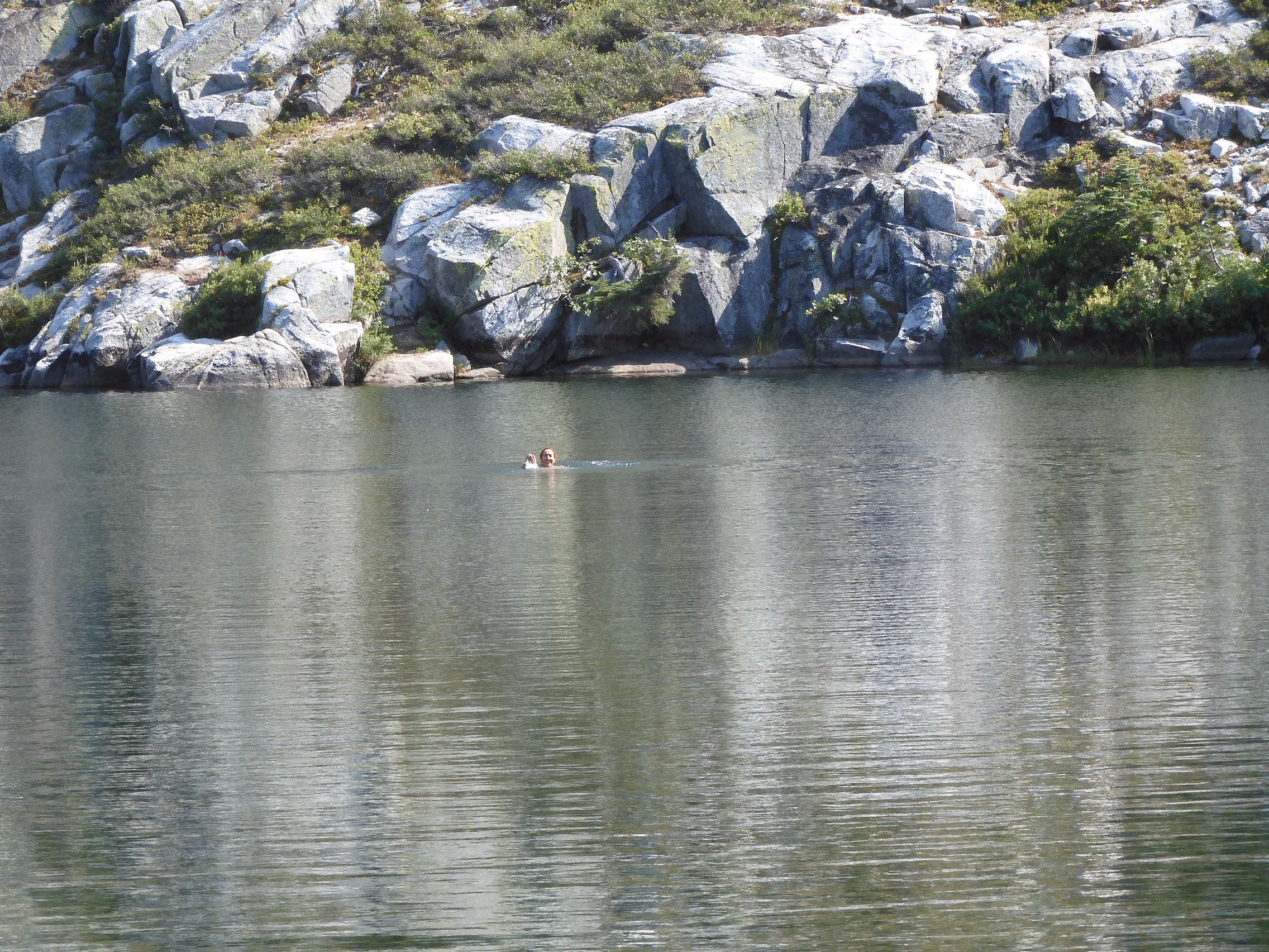
Soares had promised that Little Boulder Lake was more beautiful than Boulder Lake, and it was.
Soares also had promised that Little Boulder Lake would be great for swimming. Especially after the chill of Whiskeytown Falls the day before, I had thought a lake at around 1,950 m/6,400 ft would be exceedingly brisk, tolerable only for a minute or two, even in late July. I was surprised to find that the water felt merely refreshingly cool, even as it deepened. I swam all the way to the other side and back, feeling wonderful.
Rested and cooled off, we headed back over the hill to the main trail. Just as we reached the trail junction, we met a family of four backpackers heading out toward Boulder Lake. We promised them that they would be through the burn area and into a beautiful valley soon. Aside from the two campers were saw in the distance at Boulder Lake, these were the only people we encountered in the wilderness all day.
After a superbly satisfying day of hiking, we reached Mather at 19:04, about 10:45 after our start. The only other car in the parking lot was an Outback. The backpacking family would have the entire area to themselves.
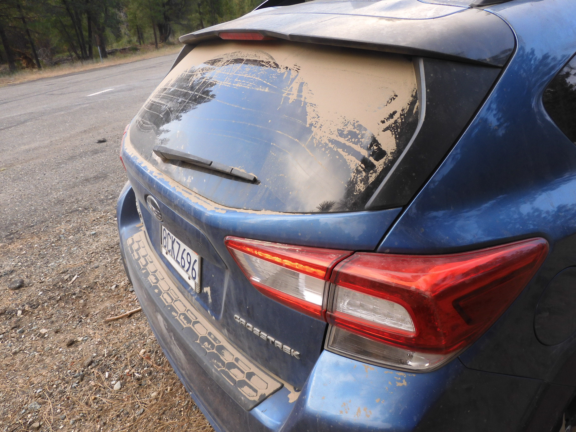
Mather had acquired a great deal of dust on the dirt road.
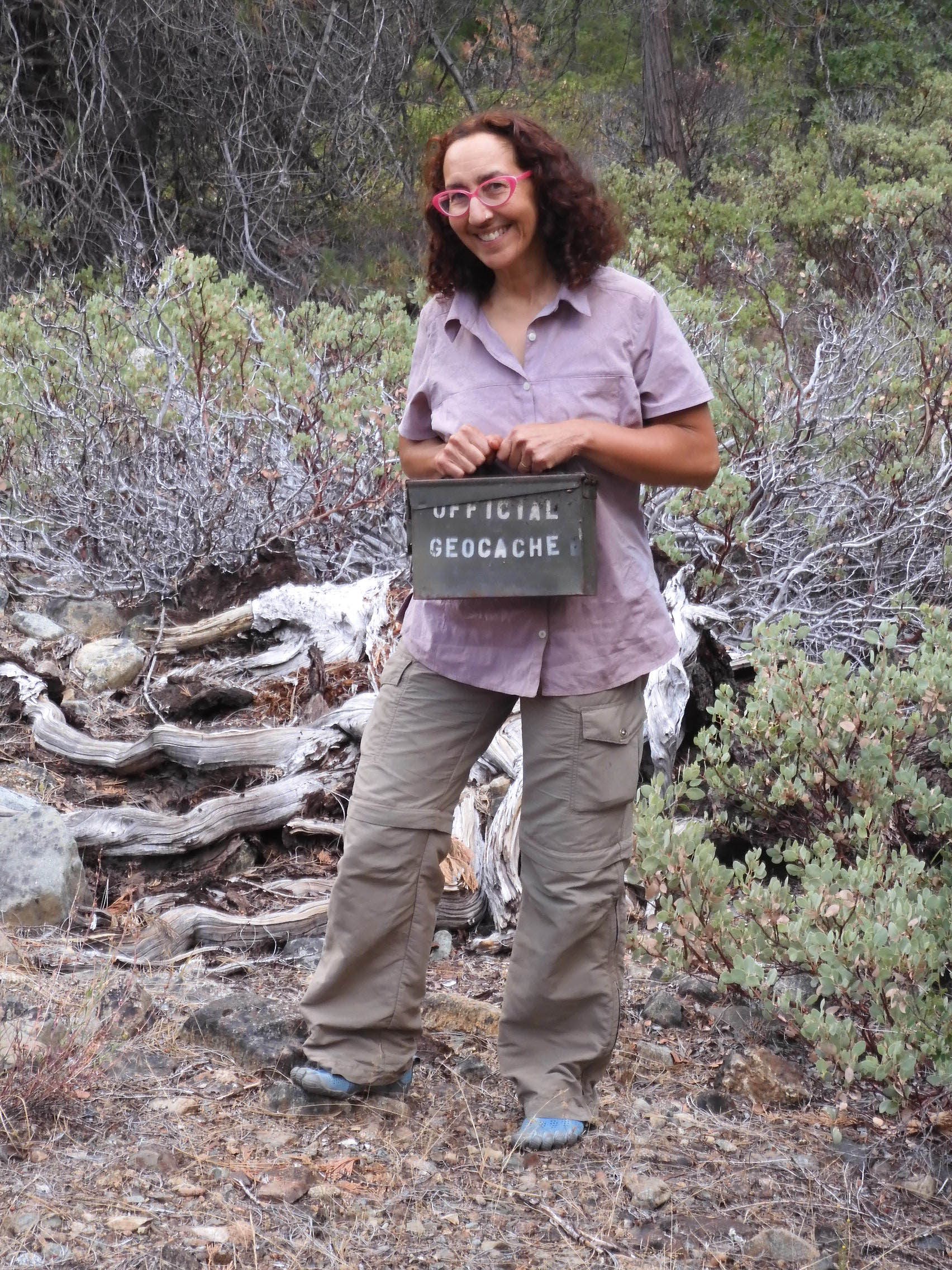
As there had been no caches, not even earthcaches, in the wilderness, we took a quick detour to find one along the road a bit north of our resort.
We returned to our lovely cabin, which thankfully was a bit cooler than it had been the night before. I processed our photos while Eric cooked pasta with extra cheese and turkey meatballs to reward us for a day of heavy hiking.
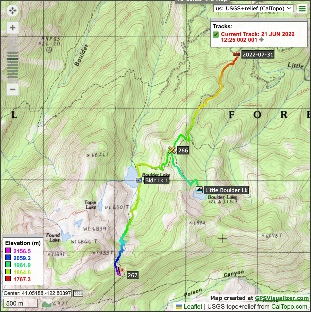
Map of our Boulder Lakes hike.
On to Ghost Town Shasta and Bidwell Park.