Capitol Reef National Park
Friday 17 September-Saturday 18 September, 2021
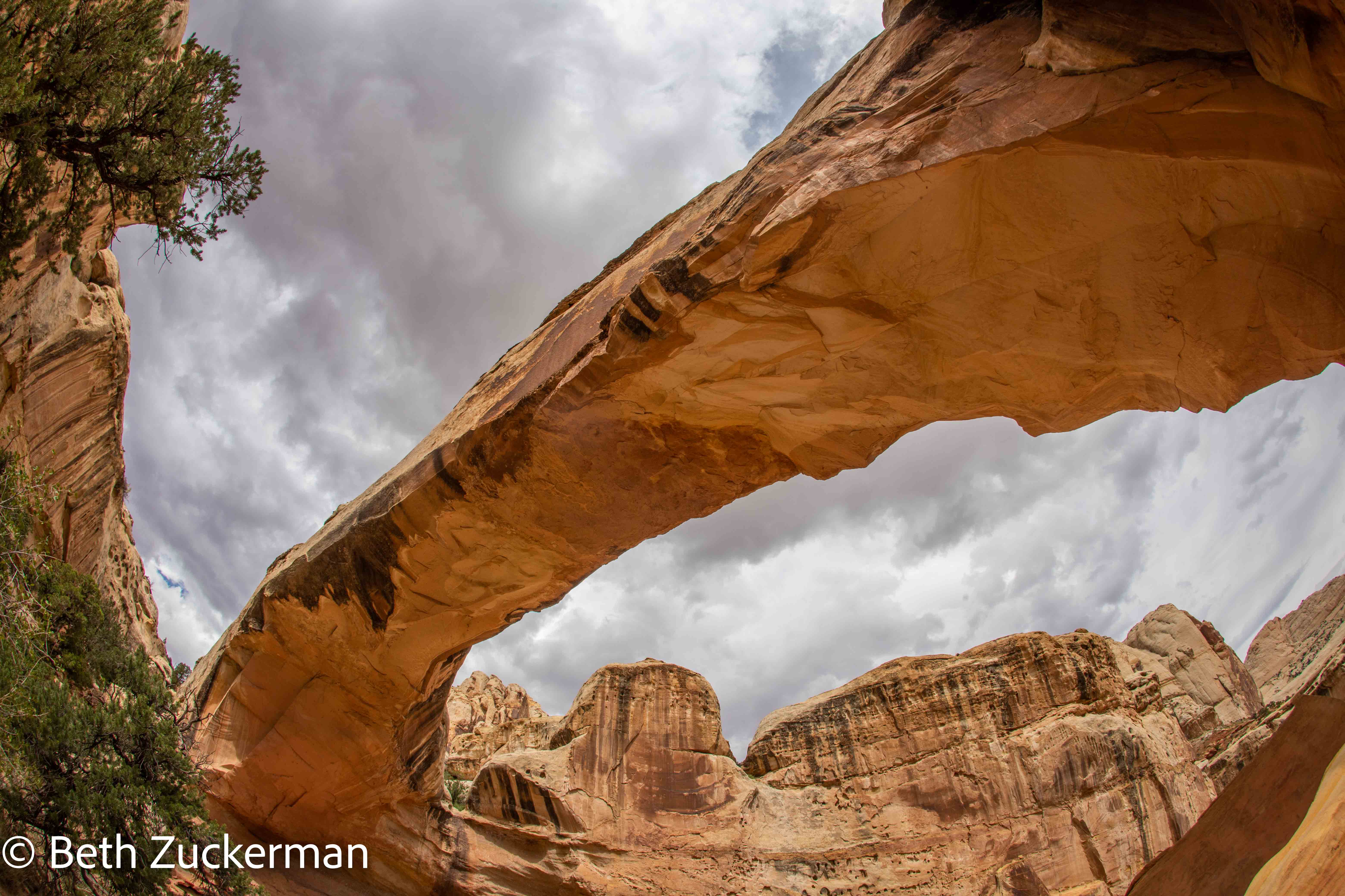
Hickman Bridge.
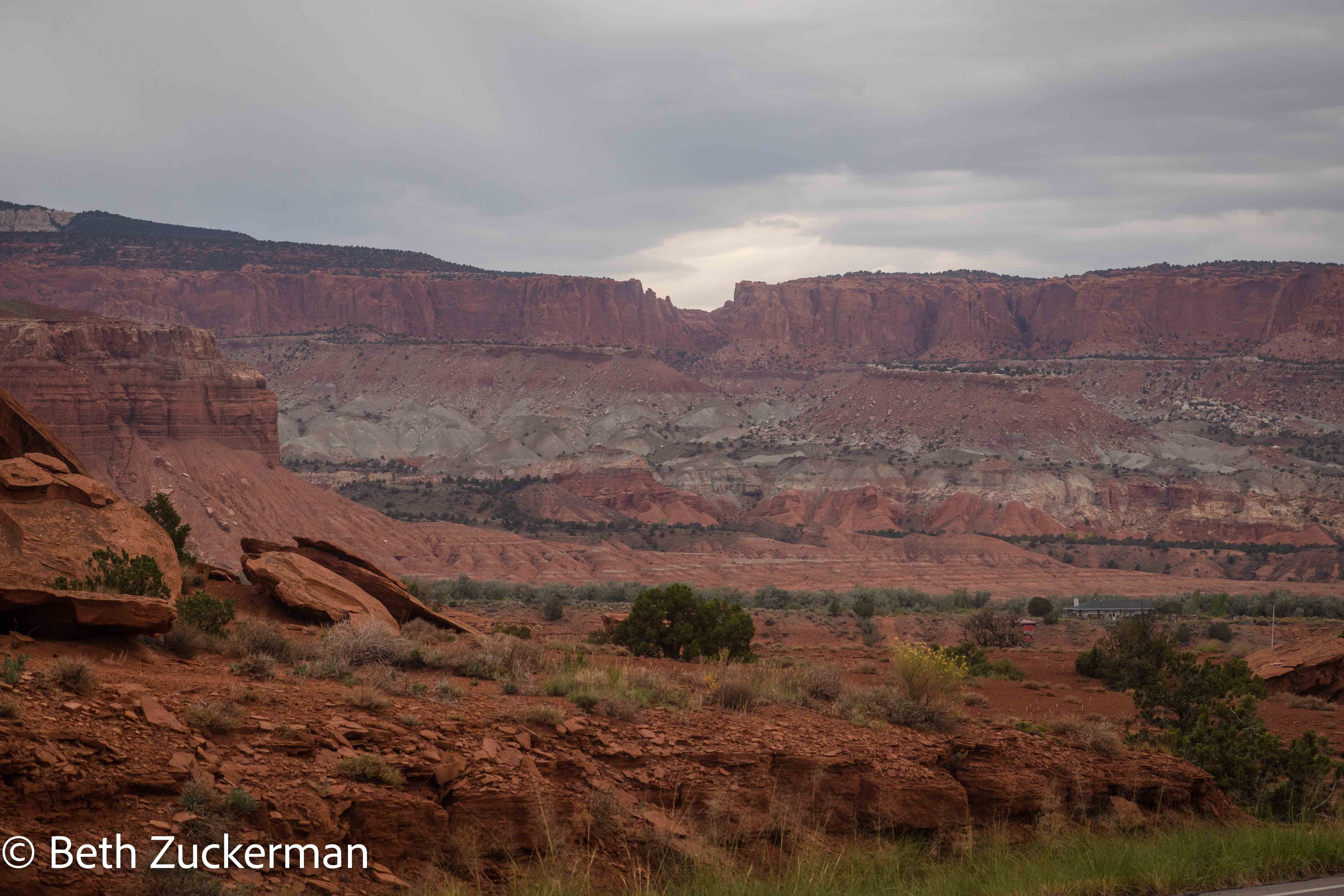
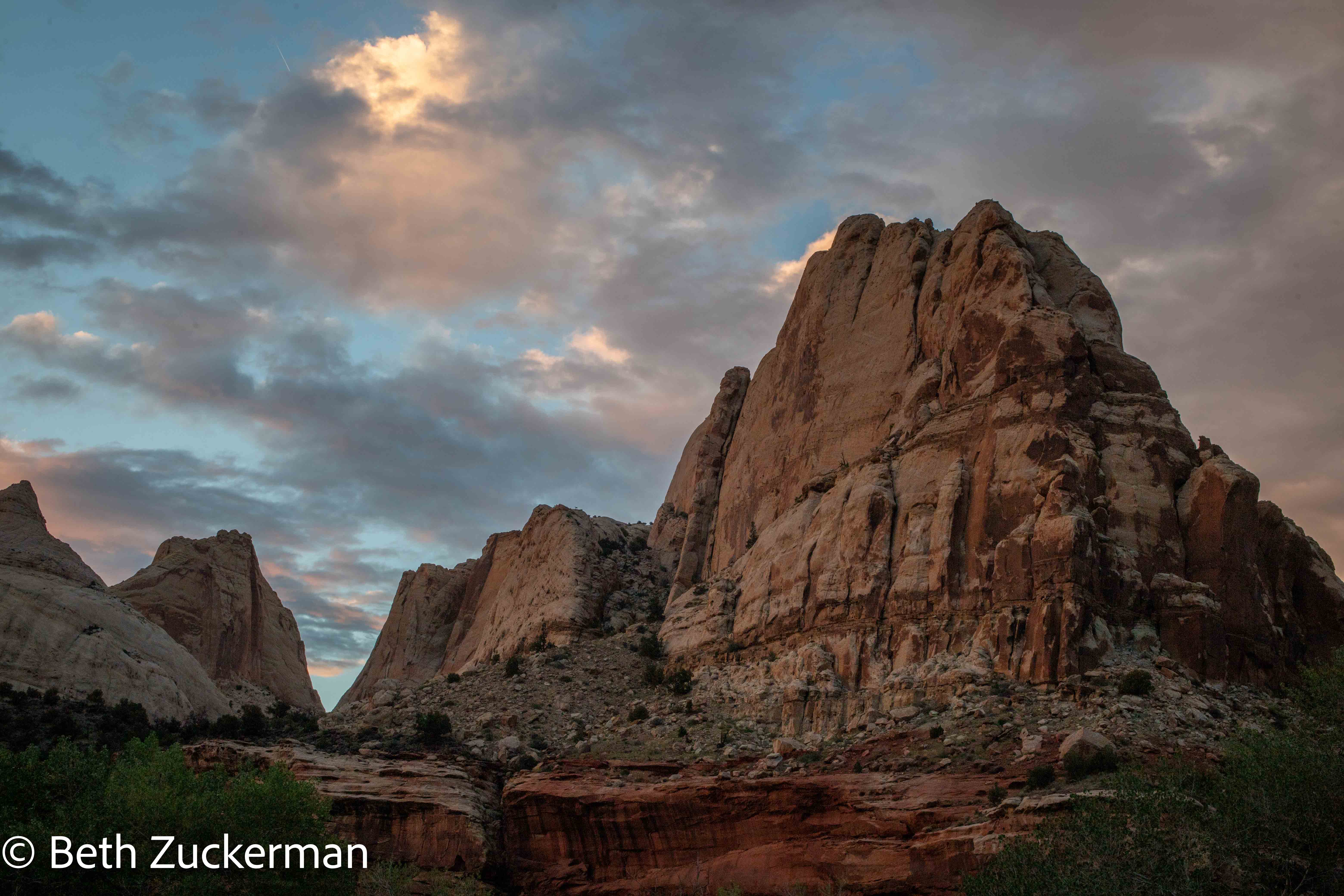
Geologically wonderful Capitol Reef National Park, at the western edge of the Colorado Plateau, is defined by a 160-km/100-mi long anticline feature called the Waterpocket Fold. Roadside Geology of Utah by Williams, Chronic, & Chronic tells us that the Waterpocket Fold was lifted by subduction of the historic Farallon Plate under the North American Plate. Like the Sierra Nevada, and for the more or less the same reasons, the Waterpocket Fold is much steeper on its east side than its west. The park has excellent exposures of fascinating rocks, and many canyons to explore.
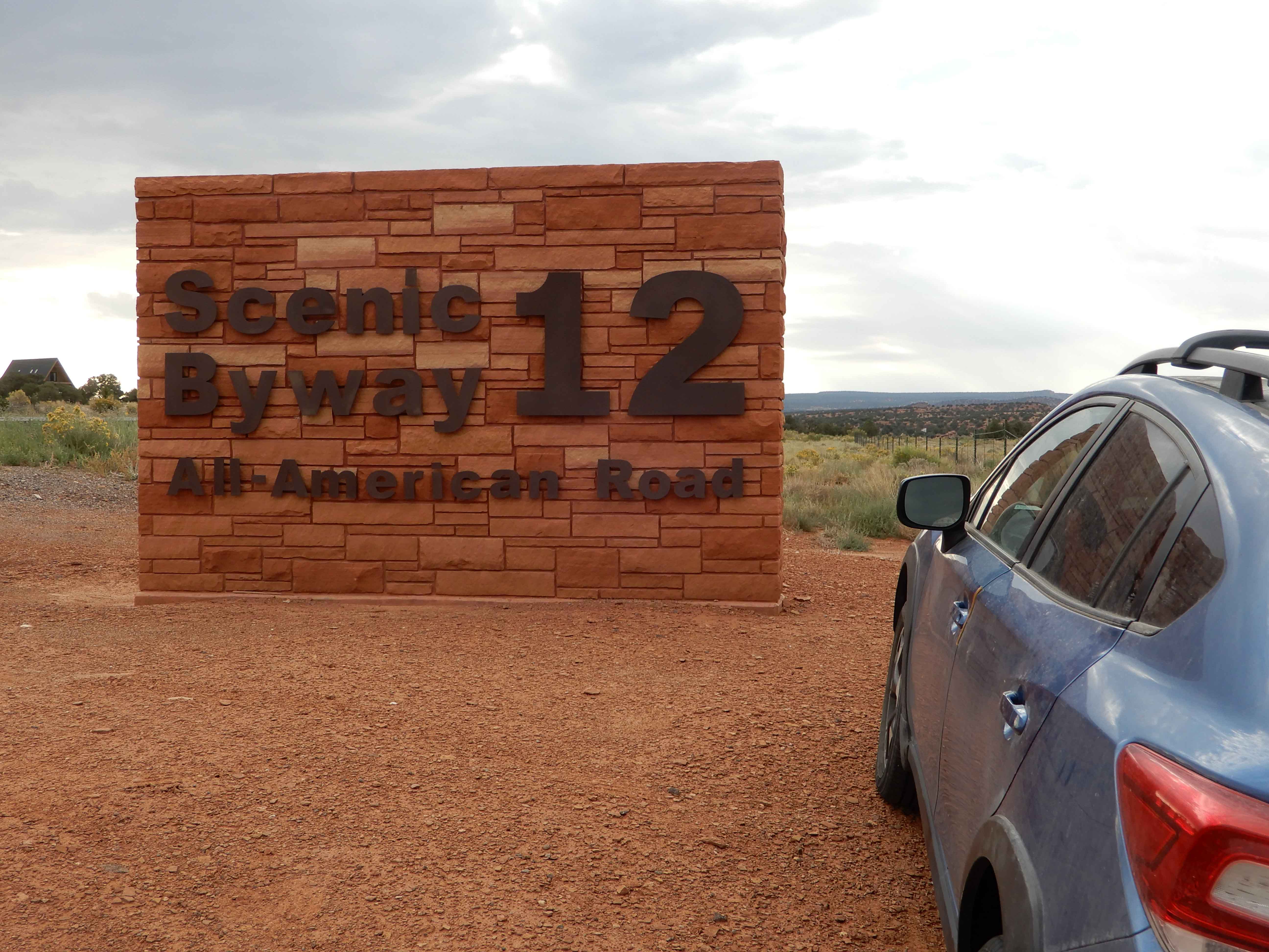
We entered Capitol Reef, our 28th national park together, from two places, first, in the southern part along Burr Trail Road, and, second, to the central, more popular part along UT 24.
- Surprise Canyon, a lovely but challenging hike
- Incredible Hickman Bridge, a spectacular feature
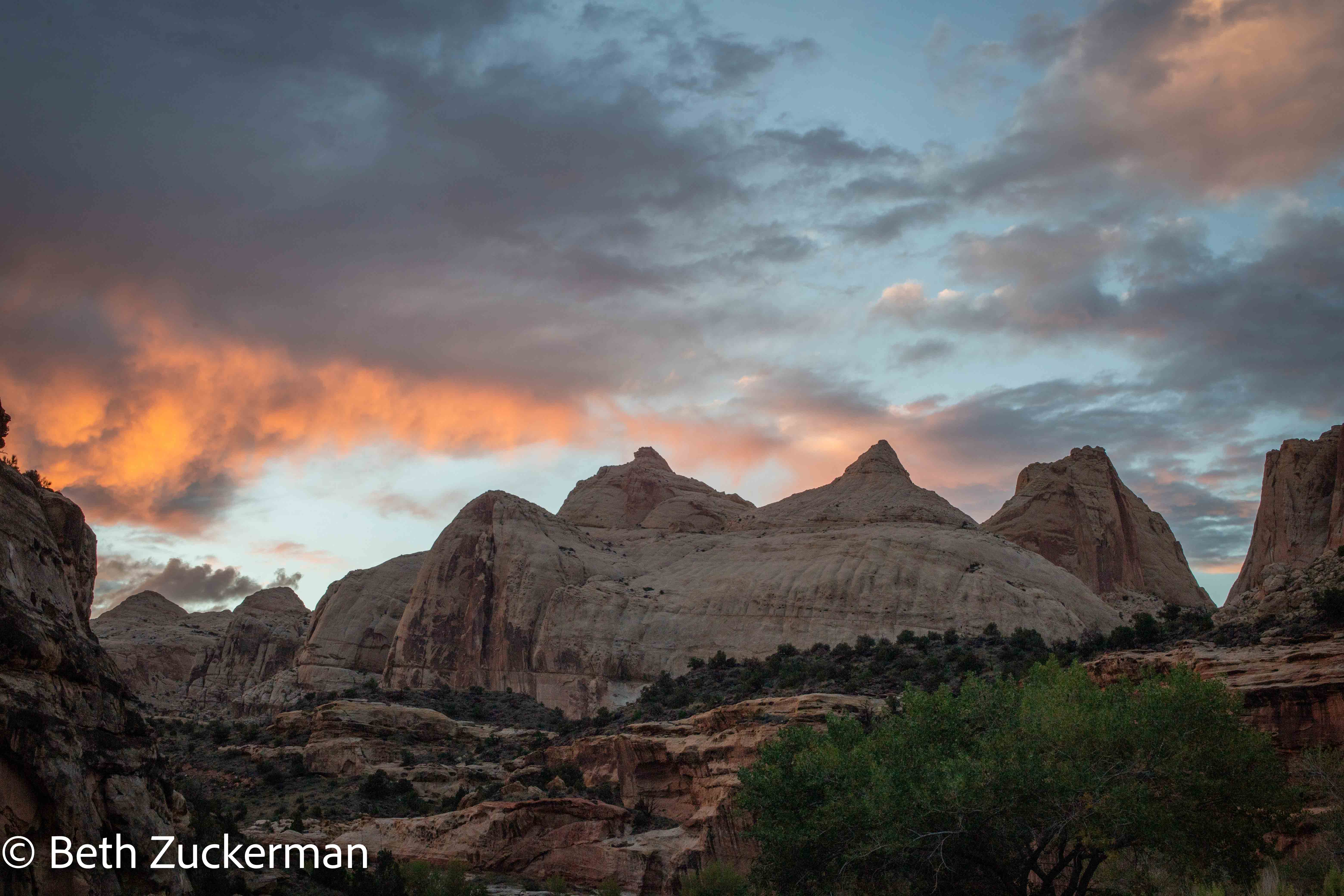
- Scenic Drive, through yet more amazing canyons, ones large enough for a Subaru (or even a Chevy Suburban)
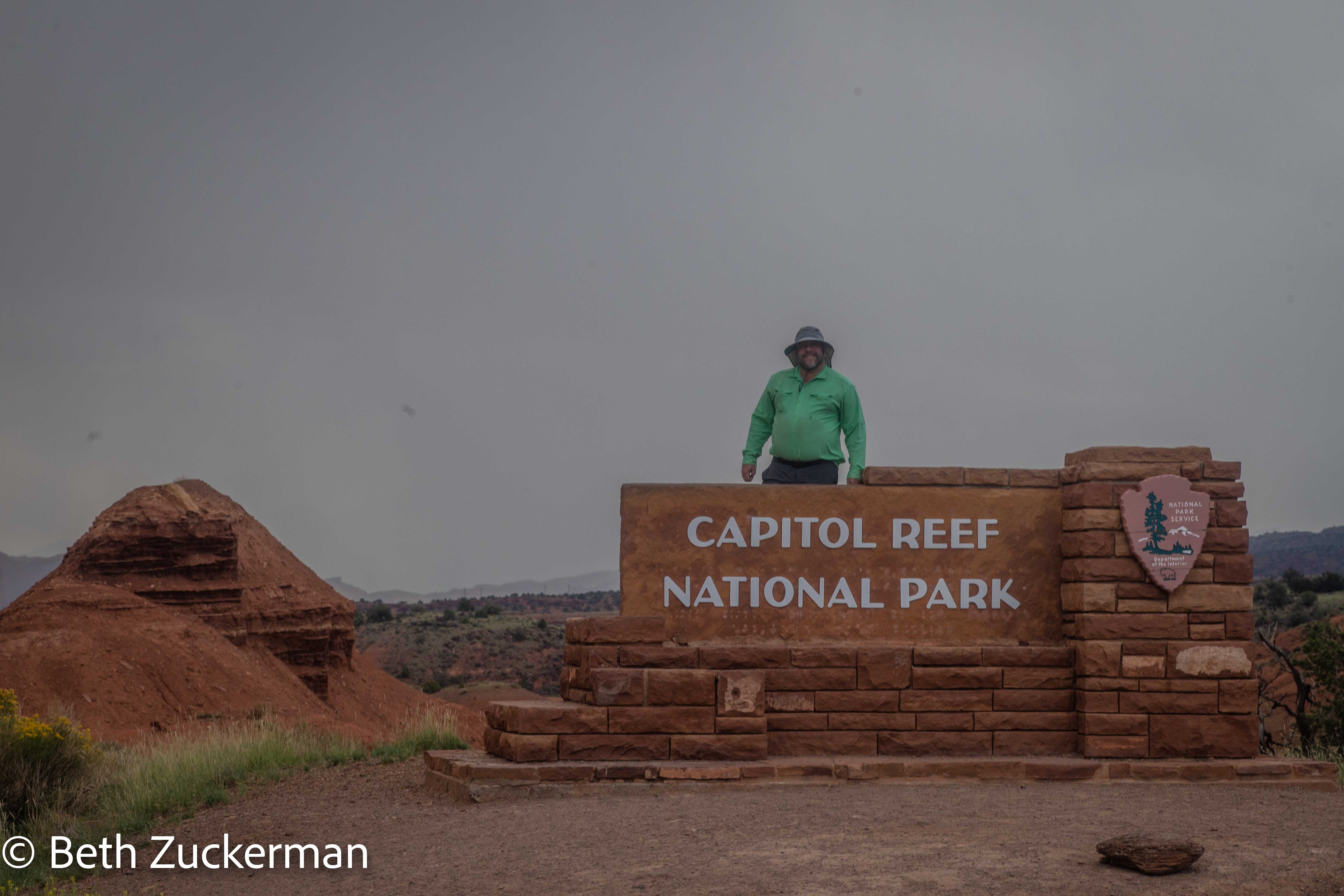
The second entrance allowed us to complete the entirety of scenic UT 12. Photo of sign by Eric.
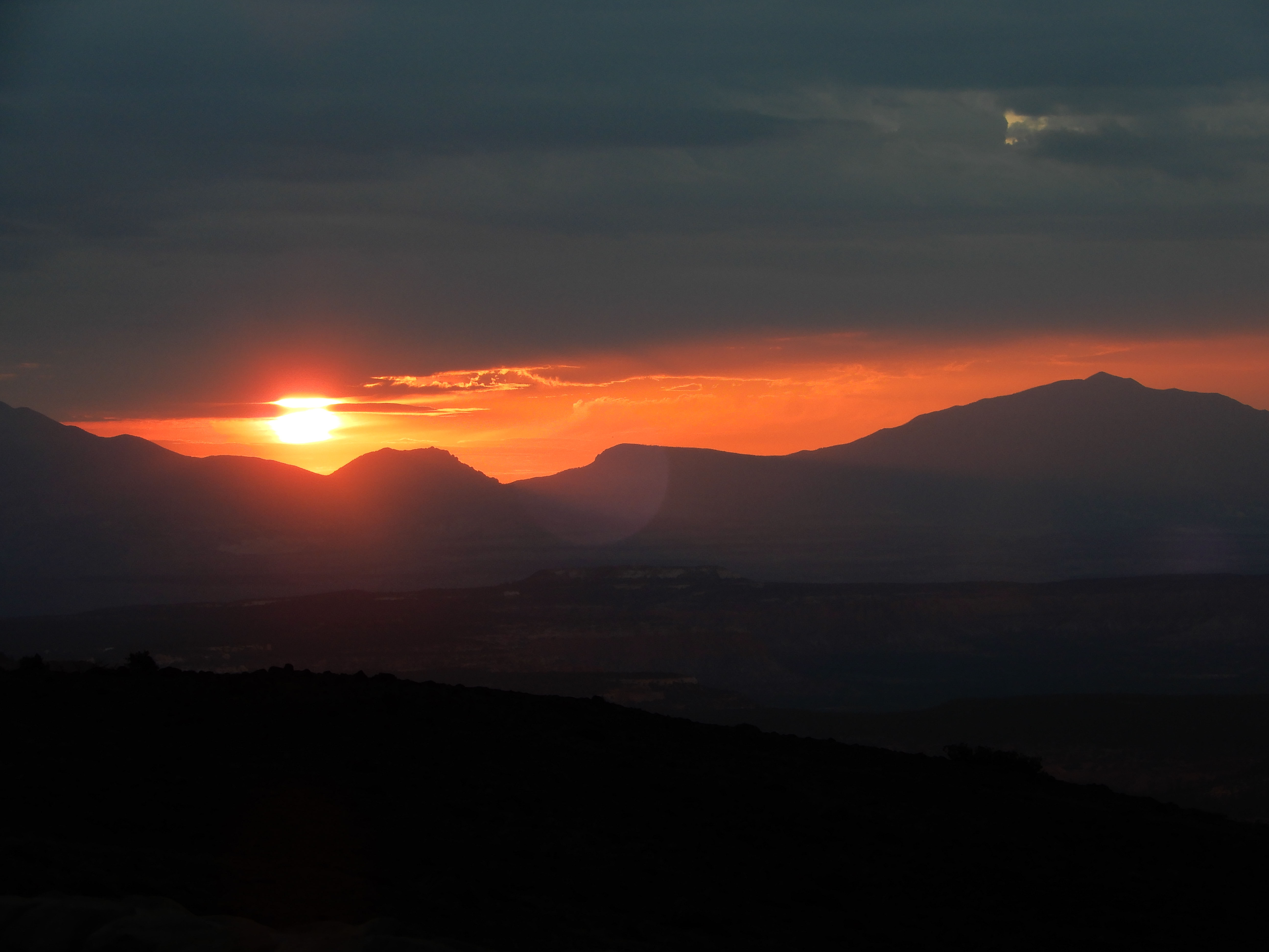
We started out toward the more popular entrance with a sunrise shoot from a UT 12 overlook. Eric got a good picture of the sunrise.
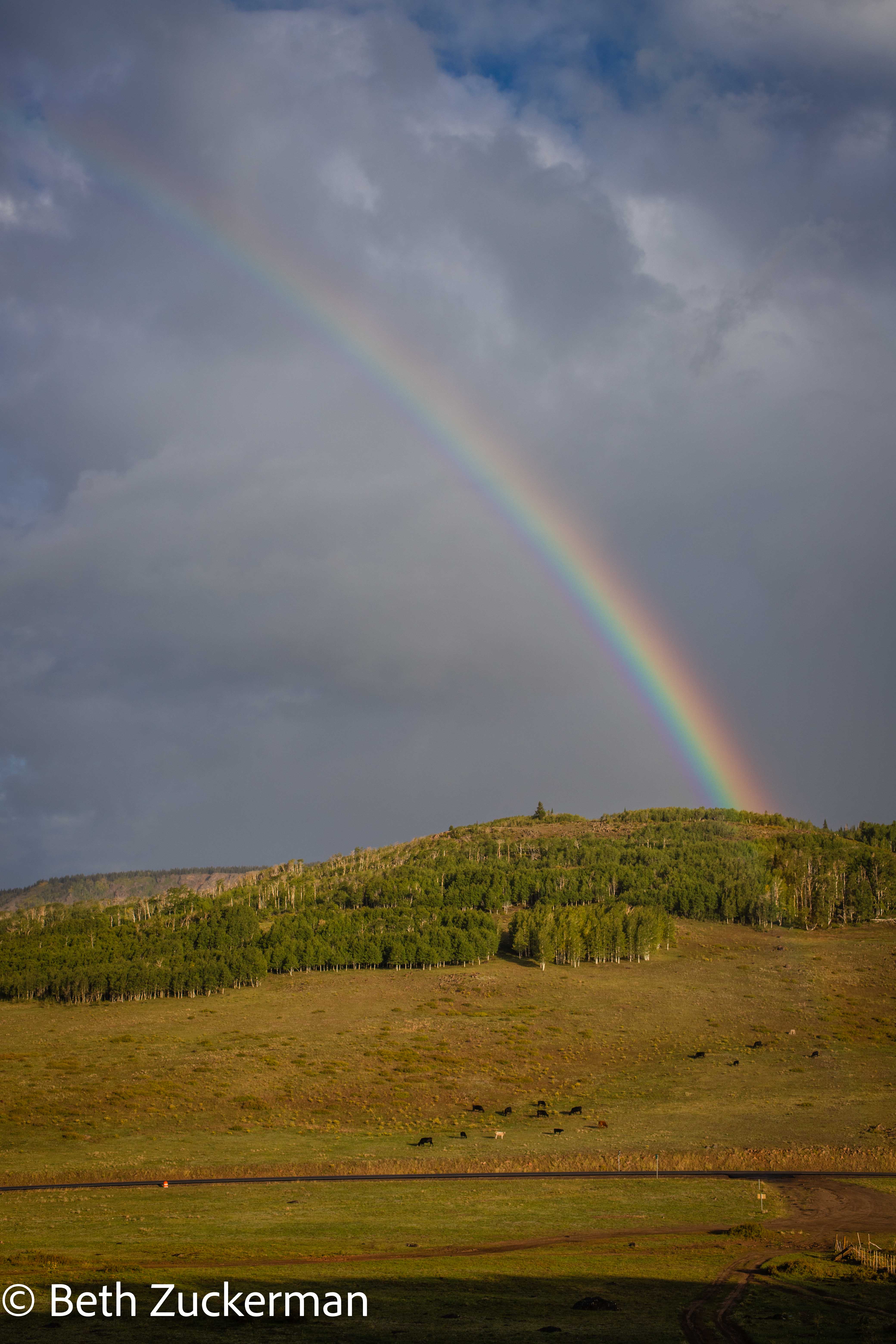
At least I saw this nice rainbow.
View from UT 12.
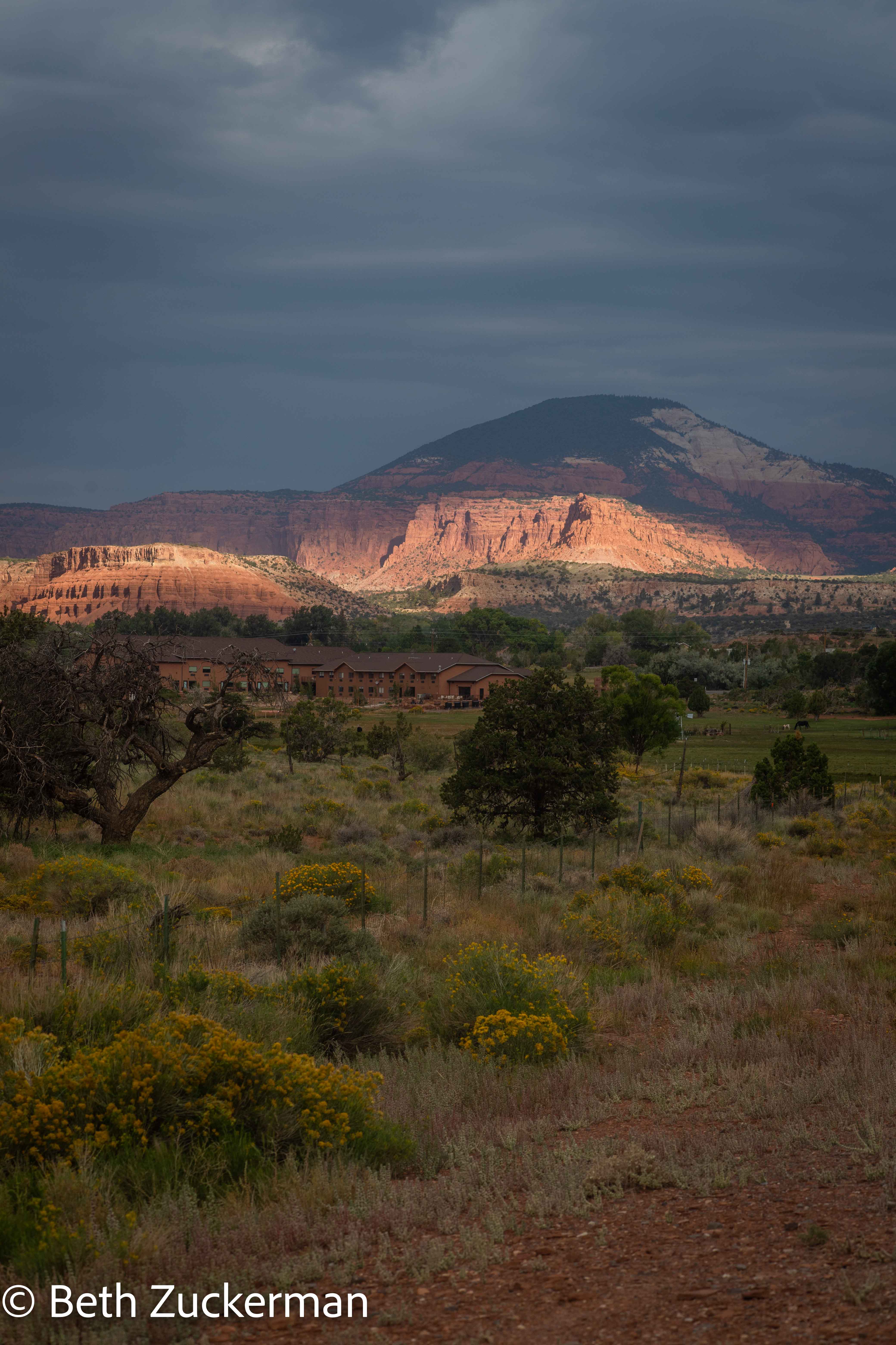
View of Capitol Reef/Waterpocket Fold from nearby Torrey, UT.
Capitol Reef entrance sign.
Eric took a picture of a famous feature called Chimney Rock, near the Visitor Center that we did not enter.
From Goosenecks Overlook, we looked out at a beautiful river-carved canyon.
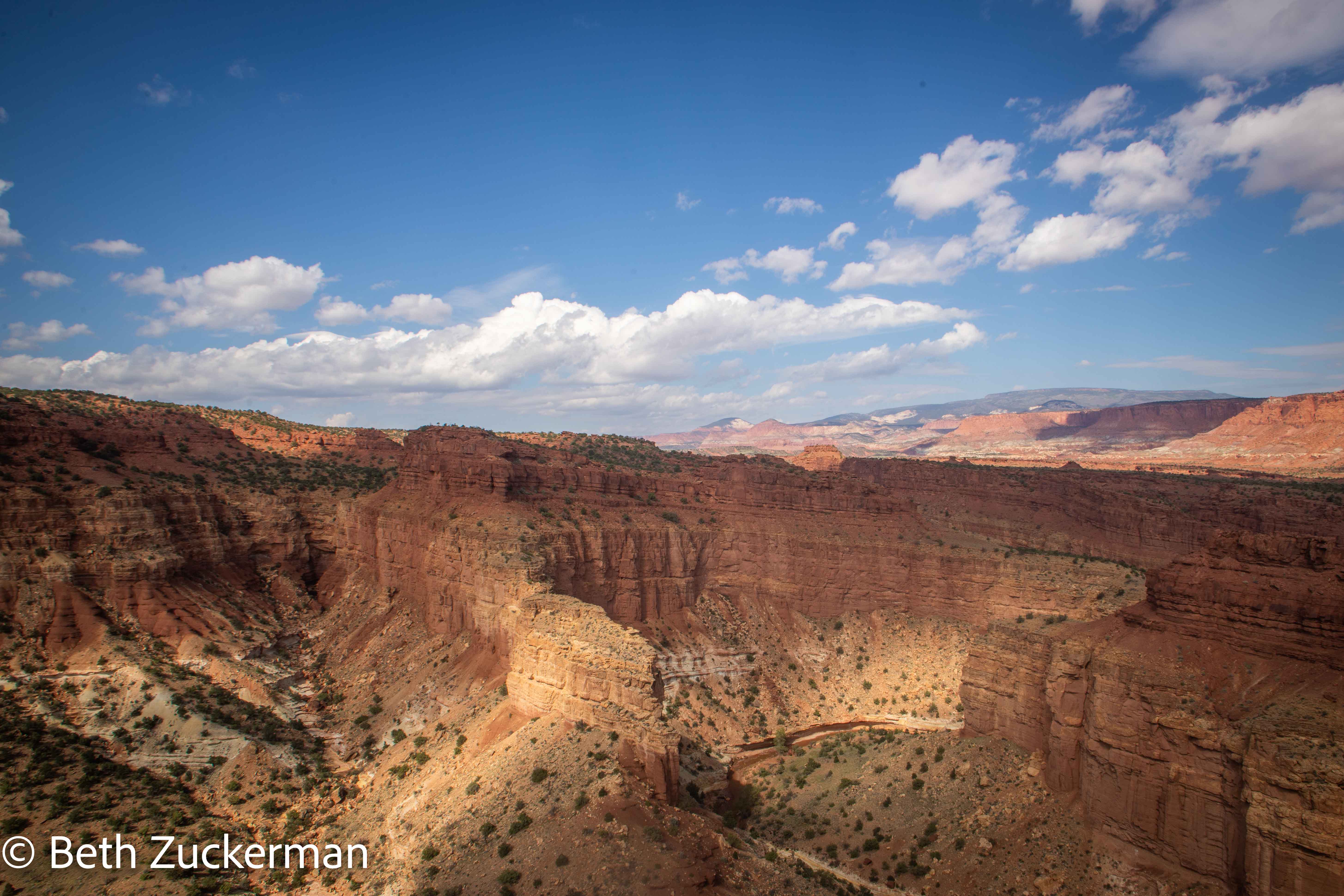
And we peered deep into the canyon far below.
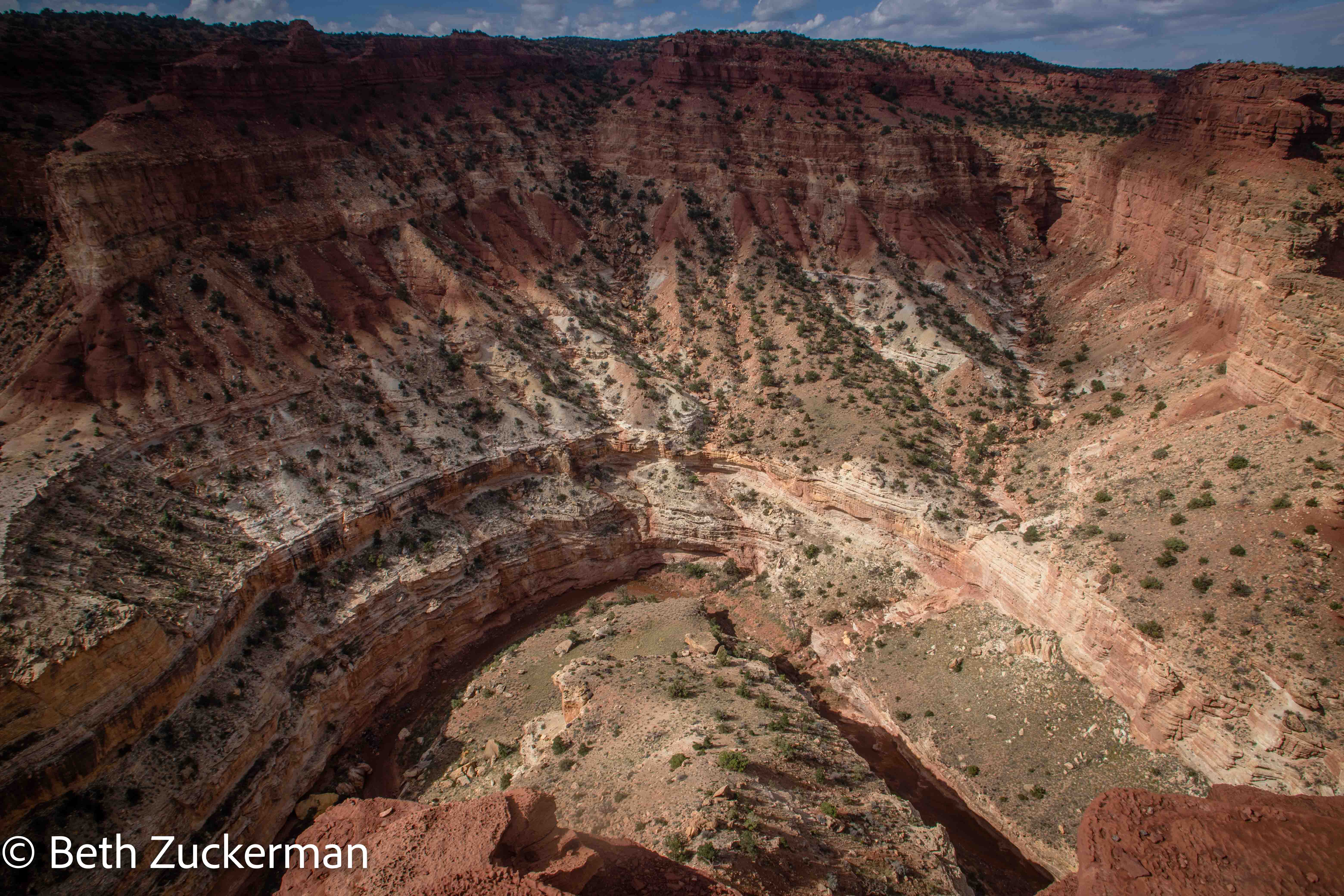
Eric took a detail shot.

We had entertained thoughts of driving through Cathedral Valley, but a volunteer at Goosenecks Overlook said that most of the road was now wet and impassable, even with such a Subaru as Mather. We could take a good road north to a point just outside the valley from which we could see some of the features, but it would be a considerable distance around. We decided to stick with our original plan of seeing the central part of the park.
I found some surprisingly intact cryptobiotic soil, created by microorganisms.
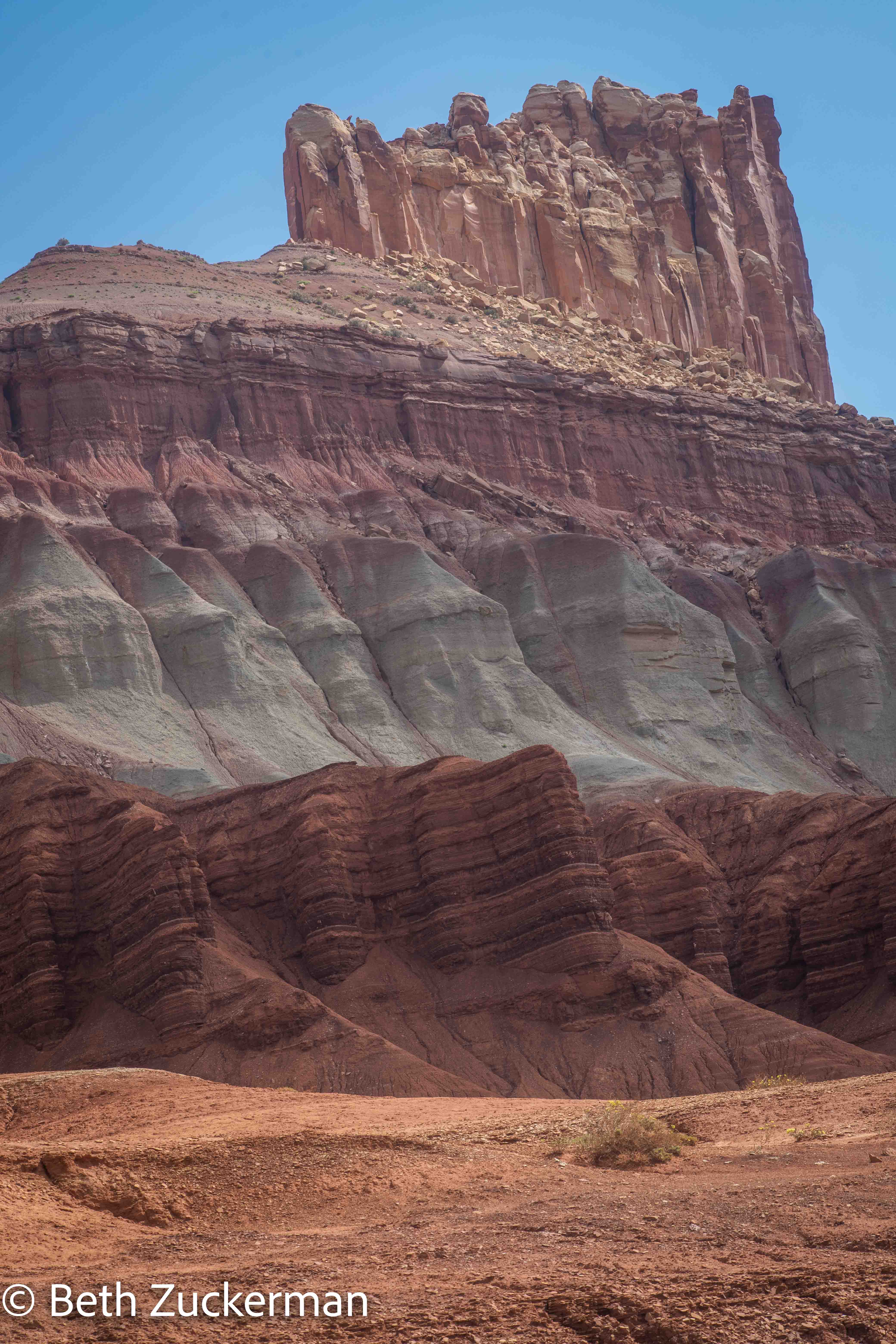
The Castle, of Wingate Sandstone, with the bluer rocks of the Chinle Formation below. [SOURCE: Geology Unfolded by Morris, Ritter, & Laycock]
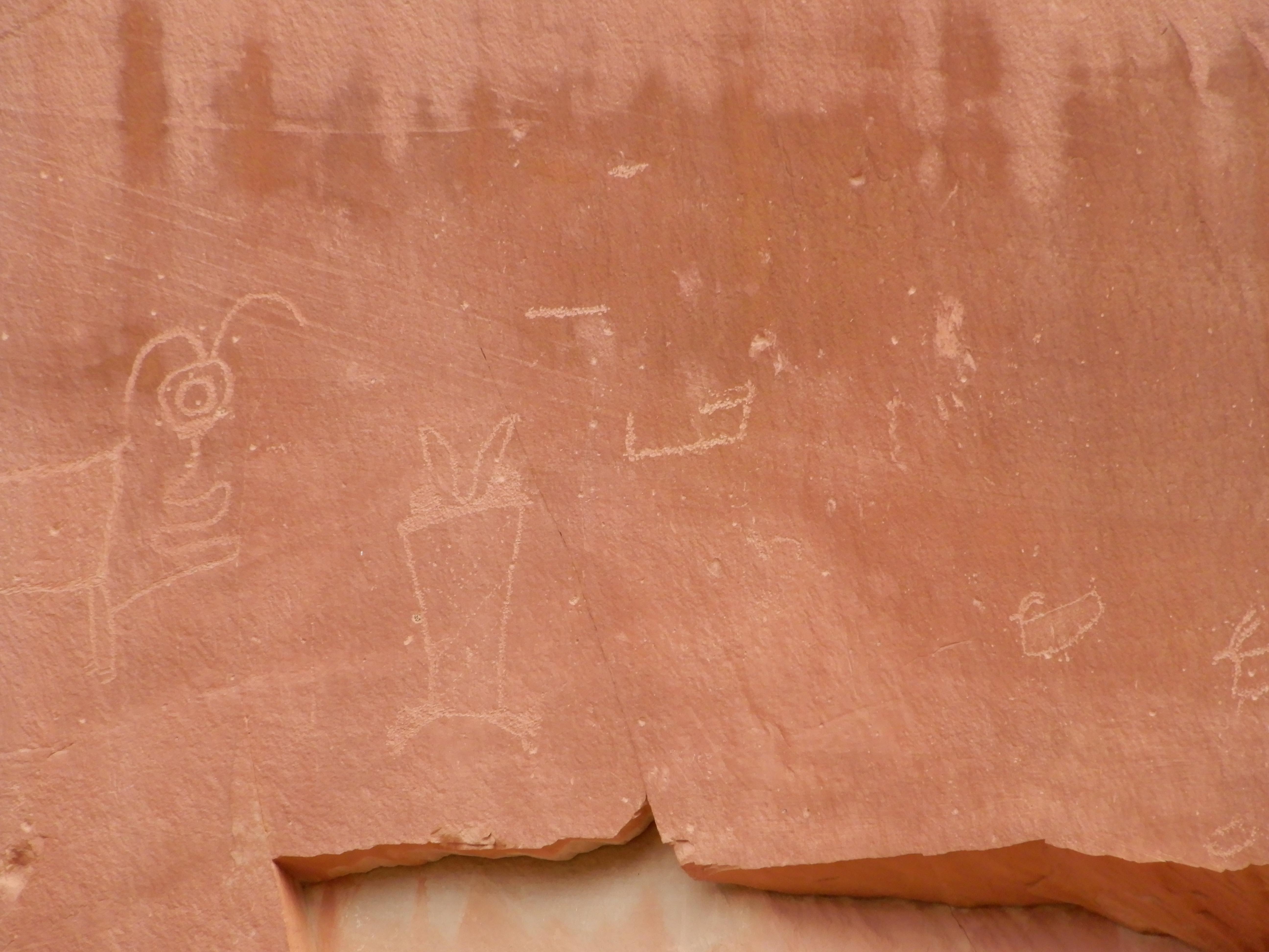
High up on the rock walls, pictograms of the people we call Fremont, such as these depicting horned animals, are easy to see from UT 24 in the park.
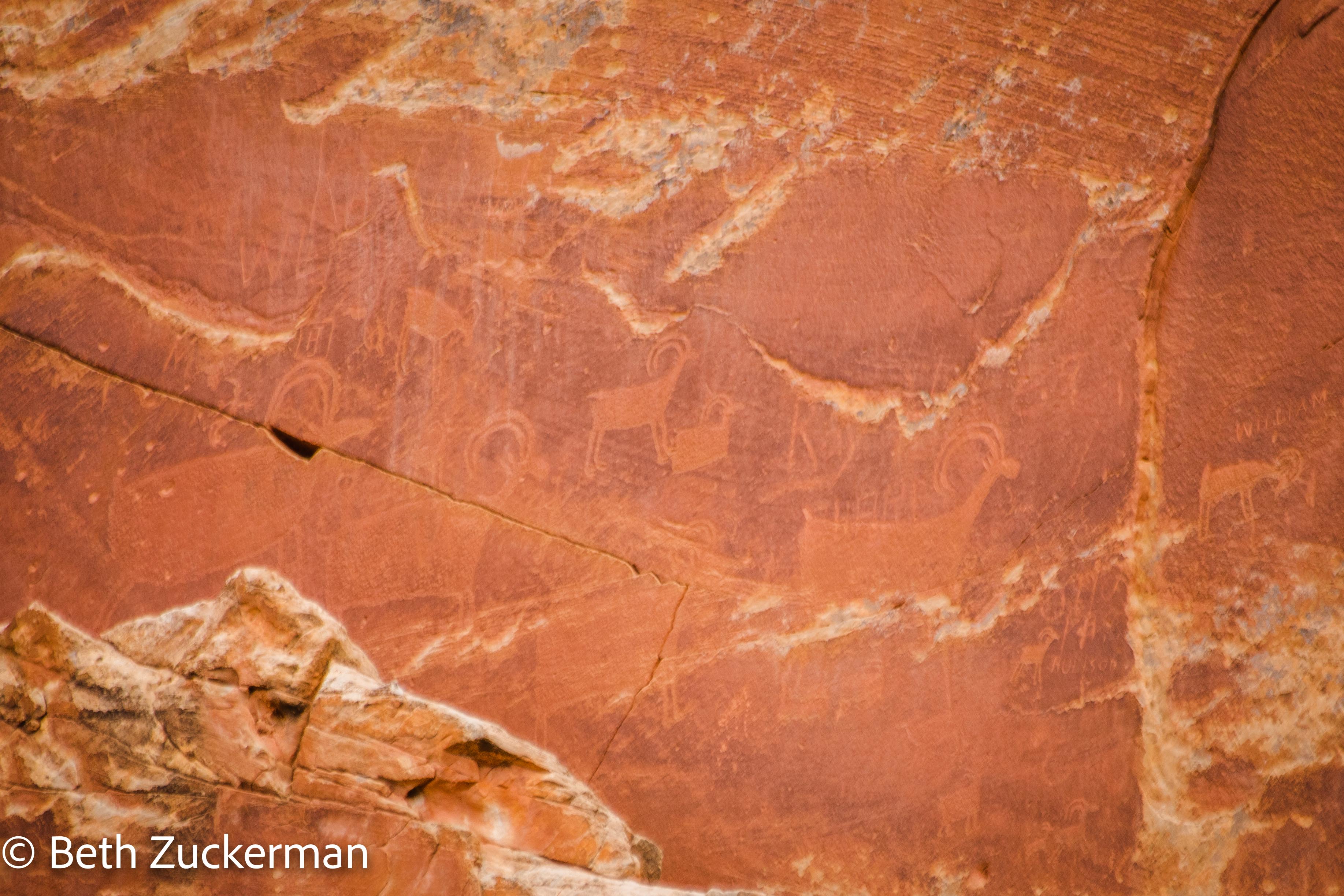
Eric photographed some of the mysterious drawings.
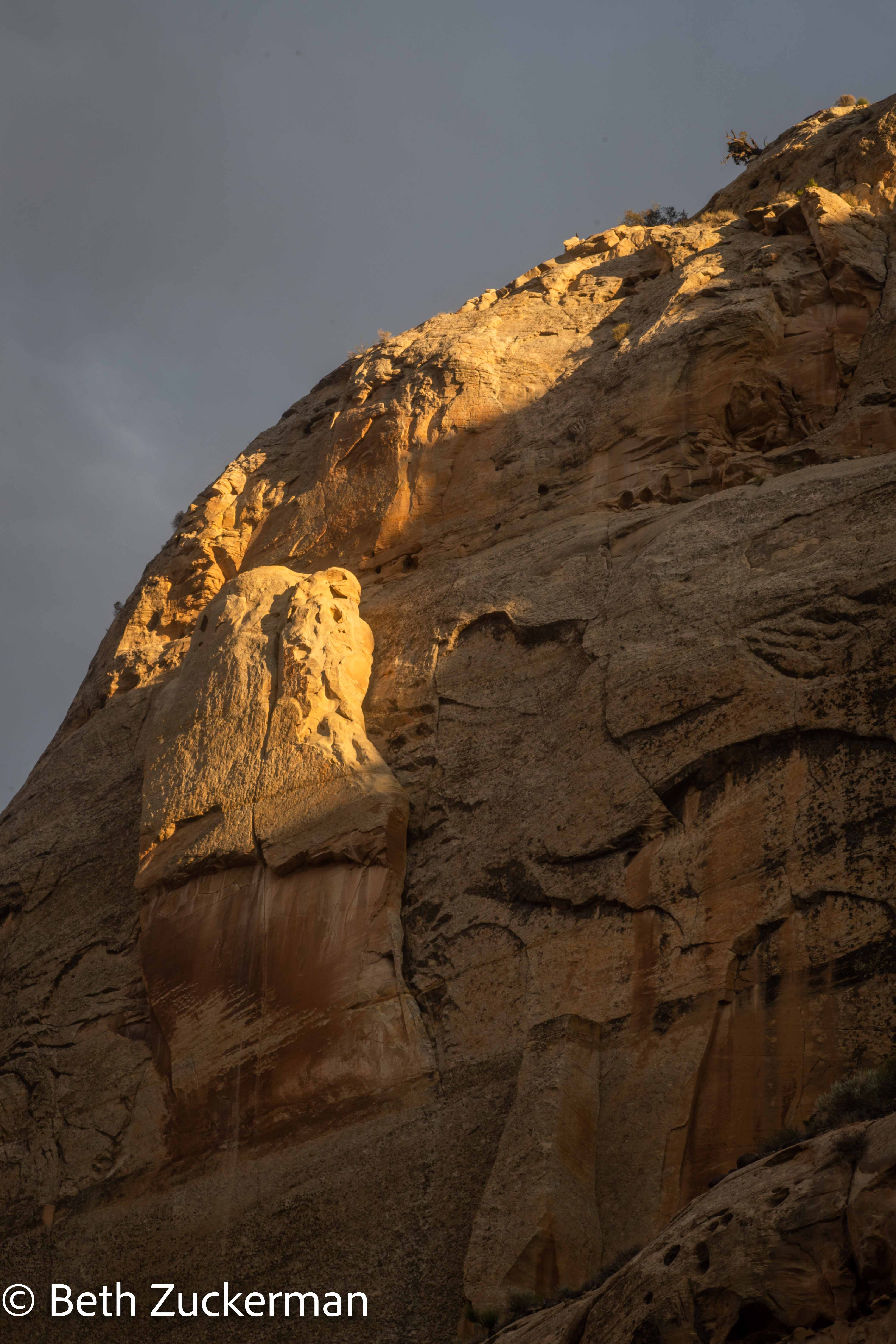
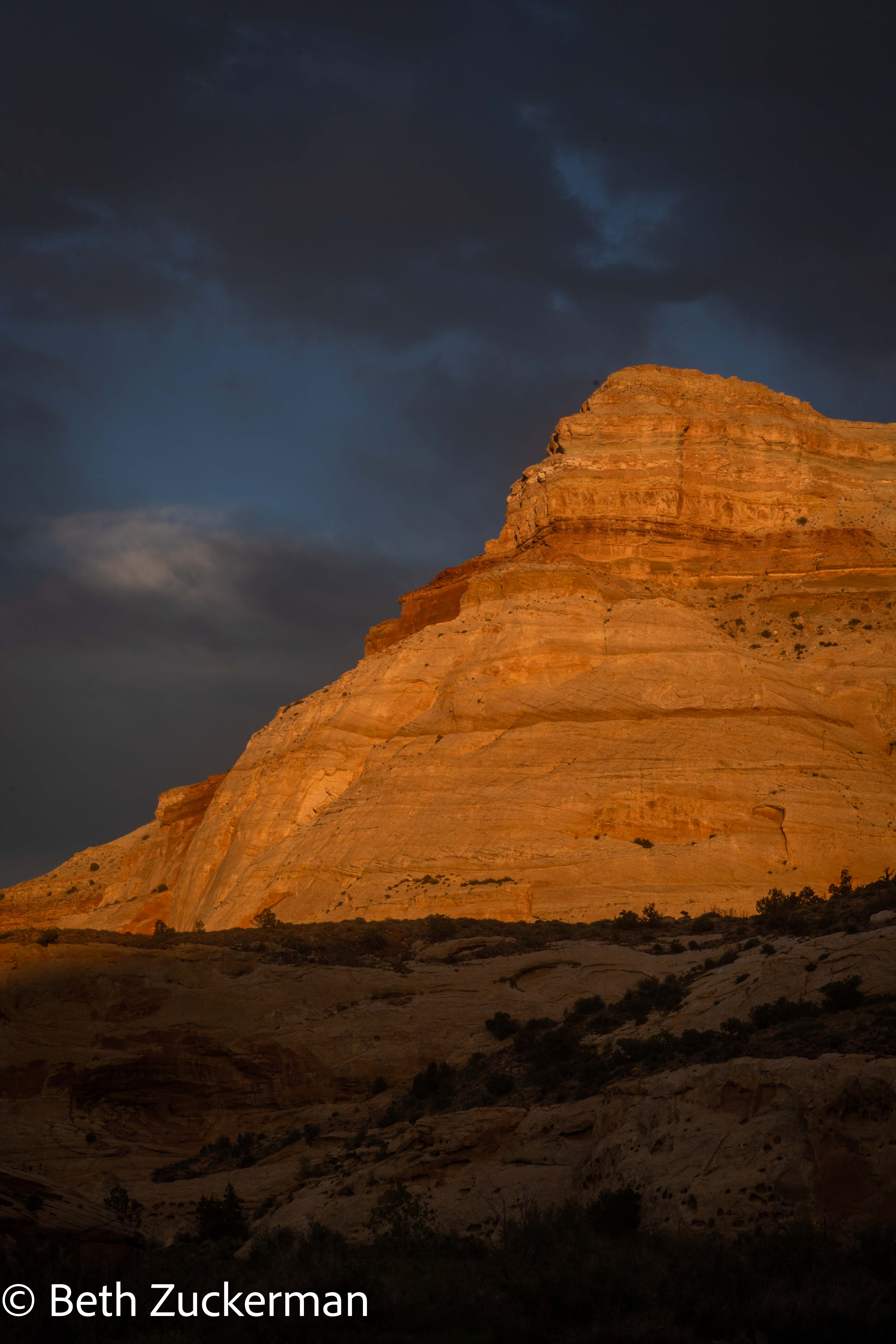
We were still out on UT 24 in the park finding virtual geocaches as the sun started to go down, so we photographed the sunset over the dramatic rocks. I know sunrise to sundown seems like a long day, but it was practically the autumnal equinox.
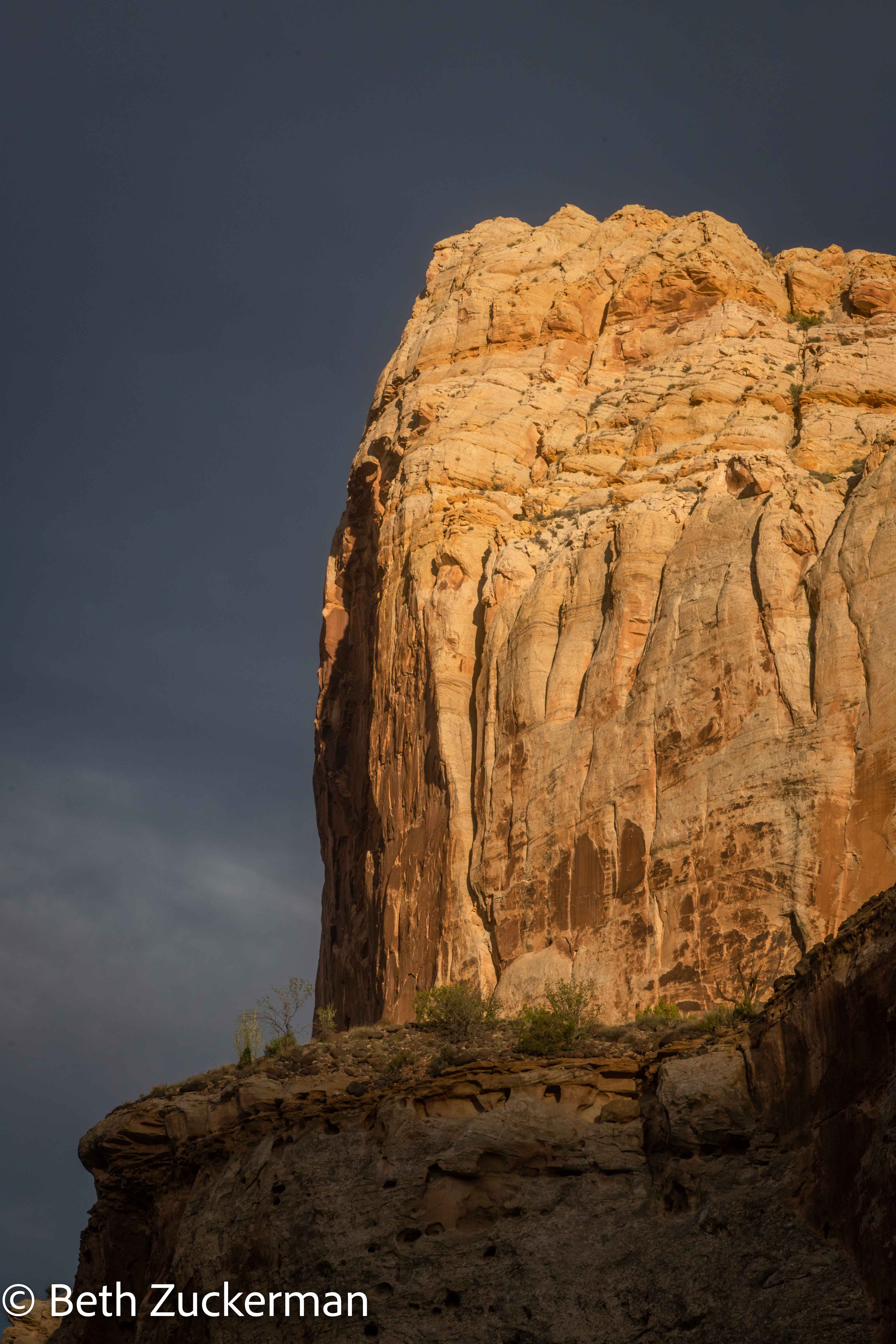
Beautiful light on beautiful rock.
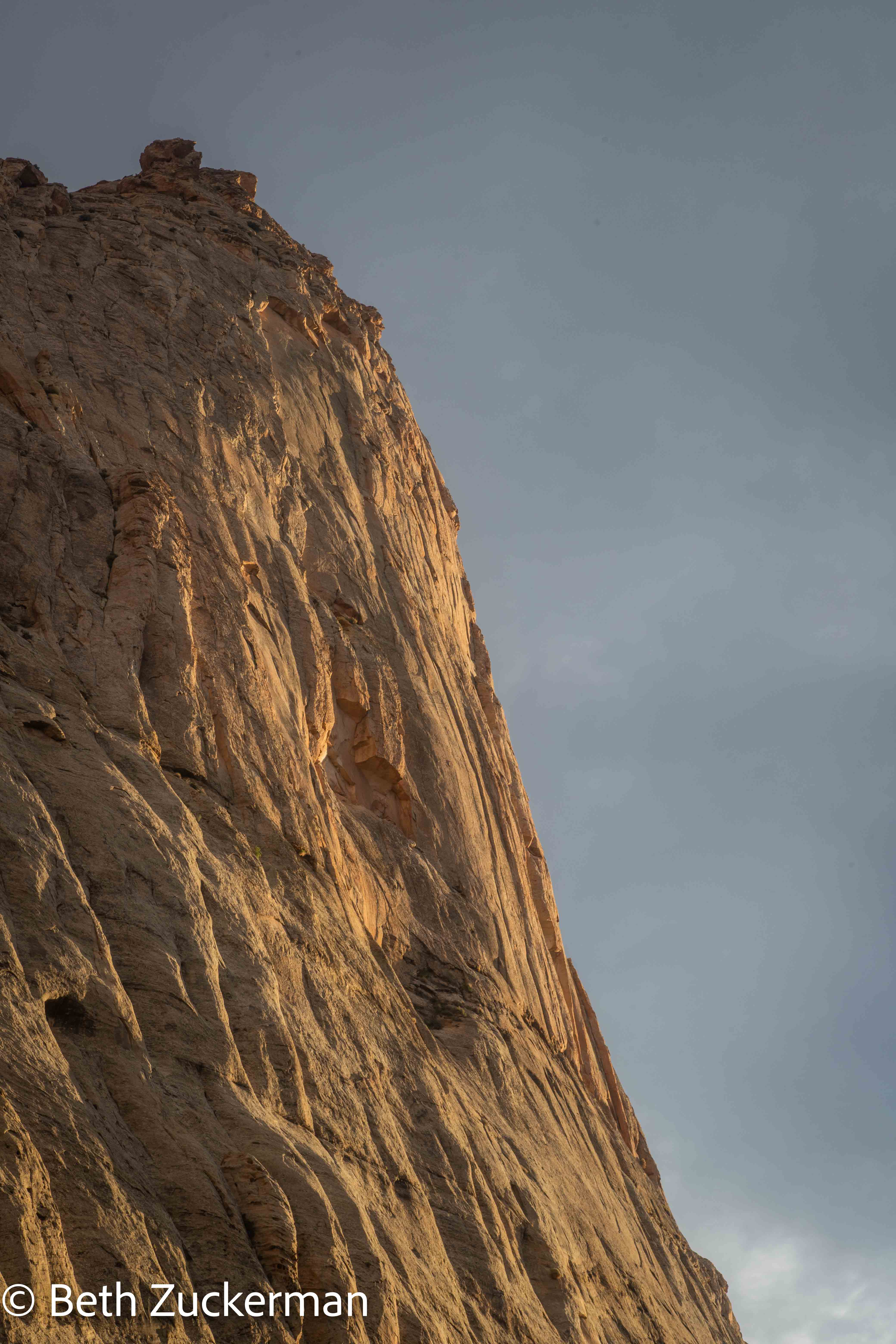
Fading light.
It was still an hour's drive back to Boulder. We had another lovely takeout dinner from Hell's Backbone Grill. Luckily, in the intervening two days, they had switched from the summer menu to the autumn menu, affording us some different choices. As I said, it was practically the autumnal equinox.
We spent Sunday and Monday driving back to Berkeley and working on our geocaching agenda. We found several more caches along beautiful UT 12. I thought I had made a reservation back at the Whispering Pines in Baker, which we had enjoyed so much the previous week, but apparently I made a mistake. On the fly, we were able to get a reservation at the Bristlecone Motel in Ely, where I had planned for us to stay when I thought we were going to the railroad museum there. Checking in to the Bristlecone Motel, and the Motel 6 in Reno where we had stayed the first night, were the only times either of us entered any buildings on the entire trip, other than our own motel rooms with entrances directly from the outside. While the motel room was large and comfortable, Ely seemed more conservative than Baker, and the motel was right on a loud highway with construction in the morning.
Eric had noticed that a tiny bit of I-80 passes through Sierra County just after it crosses into California from Reno, before Truckee. So, we made a stop by the side of the highway to add one more California County to our geocaching list. Ten more to go!
Distance hiked: 6 km/10 mi
Distance driven: 177 km/110 mi, cumulatively 2,070 km/1,286 mi
Caches found: 4 in Capitol Reef, 10 along the road, cumulatively 22